Elevation of Dieckman Rd, Chehalis, WA, USA
Location: United States > Washington > Lewis County > Chehalis >
Longitude: -123.06101
Latitude: 46.628925
Elevation: 56m / 184feet
Barometric Pressure: 101KPa
Elevation Map:
Satellite Map:
Related Photos:

a2001-15-04

Aerial view of I-5 in Chehalis

Aerial view of I-5 in Chehalis

Snow and rain

Governor Gregoire

a2003-14-31

The Mummy Lives!

DSCN1621.JPG
DSCN1625.JPG

DSCN1622.JPG

DSCN1624.JPG
04252016-31
On break, I just had to run out the back roller door to get this. #nofilter #nojoke

Poplar Tree Plantation
Opened the back gate at work to see this.

Seattle.July.20.2014.Steam.Train.72

Seattle.July.20.2014.Steam.Train.79

Lovely sunset yesterday.
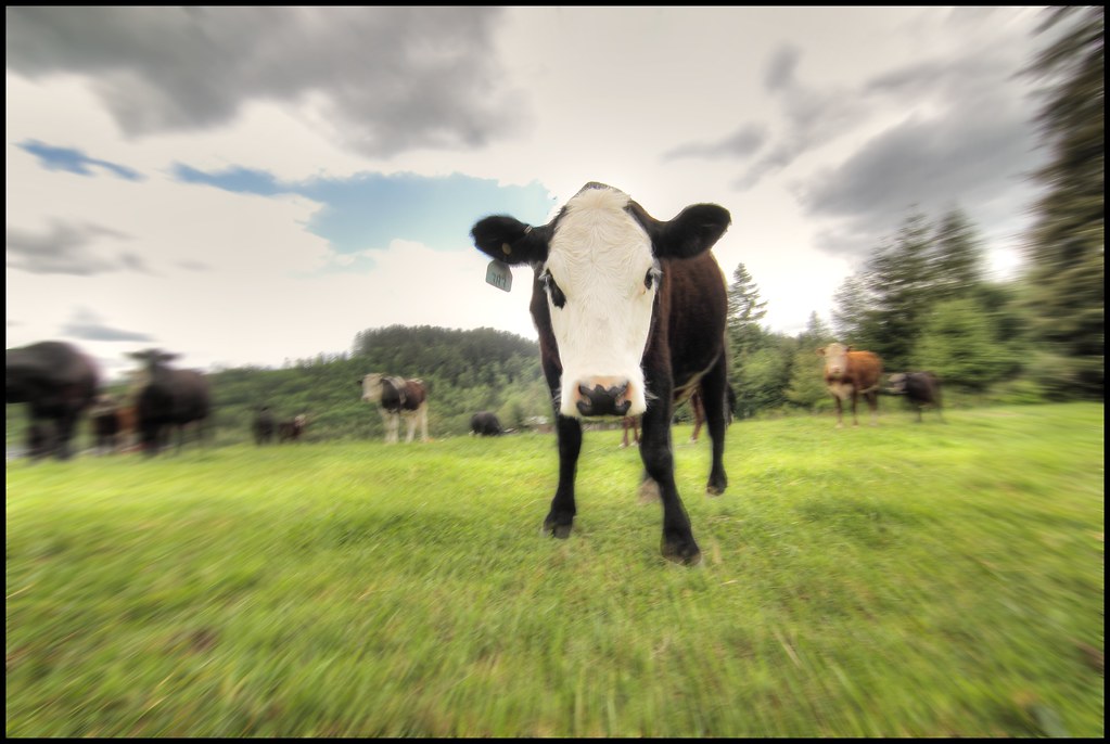
zoom cow

Rainbow Falls State Park No. 2, Washington, 2015

Rainbow Falls State Park No. 1, Washington, 2015

a poplar place to be

Poplar Tree Plantation, Lewis County, Washington, 2015

Rainbow Falls State Park No. 3, Washington, 2015
#DeepCreekRoad

Our Dog Halle
Rainbow Falls State Park

Seminary Hill II

Spring time's here.
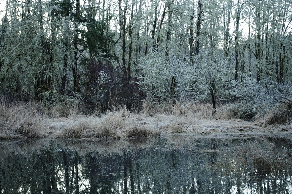
Winter Pond at Sunrise

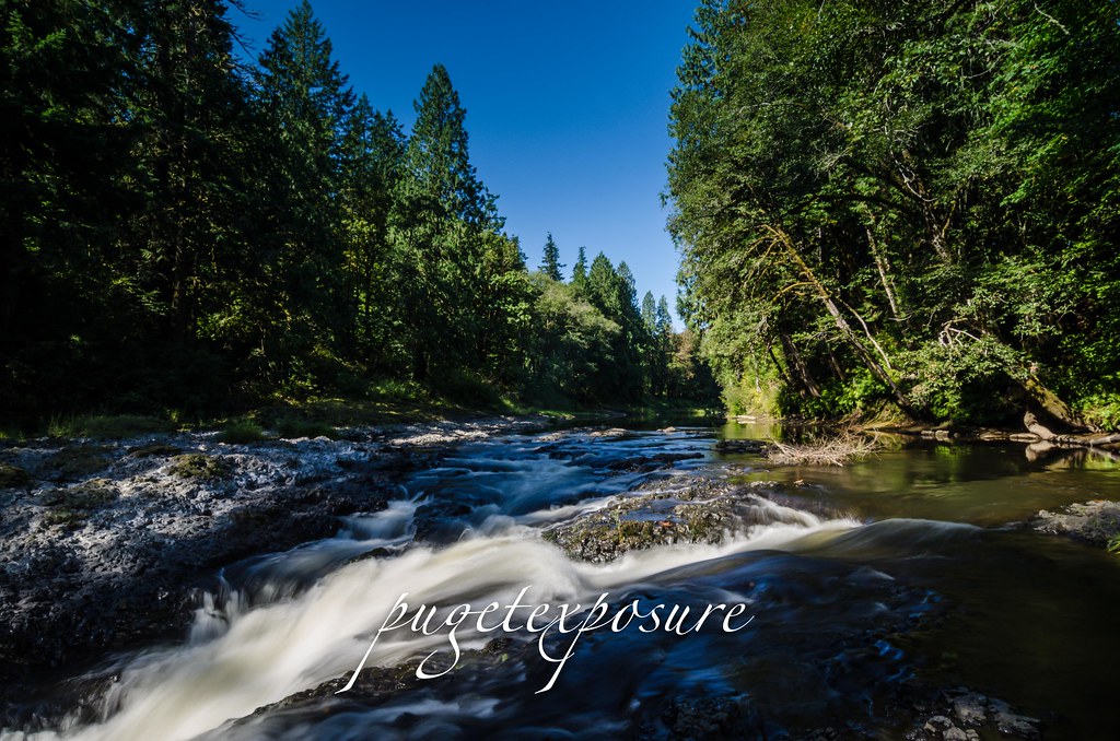
Chehalis River

Barn and Silo, Adna, Washington, 2015

Seattle.July.20.2014.Steam.Train.14
Topographic Map of Dieckman Rd, Chehalis, WA, USA
Find elevation by address:

Places near Dieckman Rd, Chehalis, WA, USA:
Adna High & Middle School
179 Dieckman Rd
101 Cliff Dr
253 Curtis Hill Rd
249 Curtis Hill Rd
312 Pleasant Hill Rd
312 Pleasant Hill Rd
141 Bull Run Dr
Spooner Rd, Chehalis, WA, USA
439 Spooner Rd
213 Sholes Dr
Curtis Hill Road
Curtis Hill Road
196 Sholes Dr
128 Walsh Ln
551 Curtis Hill Rd
310 Deep Creek Rd
804 Bunker Creek Rd
Curtis
300 River Rd
Recent Searches:
- Elevation of W Granada St, Tampa, FL, USA
- Elevation of Pykes Down, Ivybridge PL21 0BY, UK
- Elevation of Jalan Senandin, Lutong, Miri, Sarawak, Malaysia
- Elevation of Bilohirs'k
- Elevation of 30 Oak Lawn Dr, Barkhamsted, CT, USA
- Elevation of Luther Road, Luther Rd, Auburn, CA, USA
- Elevation of Unnamed Road, Respublika Severnaya Osetiya — Alaniya, Russia
- Elevation of Verkhny Fiagdon, North Ossetia–Alania Republic, Russia
- Elevation of F. Viola Hiway, San Rafael, Bulacan, Philippines
- Elevation of Herbage Dr, Gulfport, MS, USA