Elevation of Muah Mountain, California, USA
Location: United States > Bishop >
Longitude: -118.12452
Latitude: 36.3999365
Elevation: 3240m / 10630feet
Barometric Pressure: 68KPa
Elevation Map:
Satellite Map:
Related Photos:

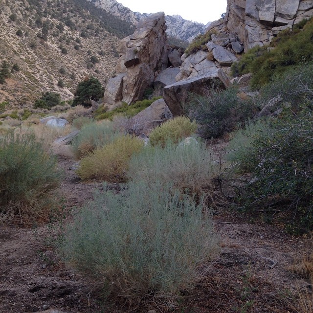
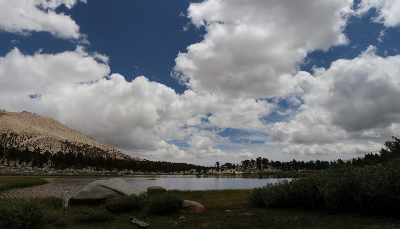
Cottonwood Lakes Basin

Panorama from New Army Pass

View SE from New Army Pass.
View of mountains from the cabin.

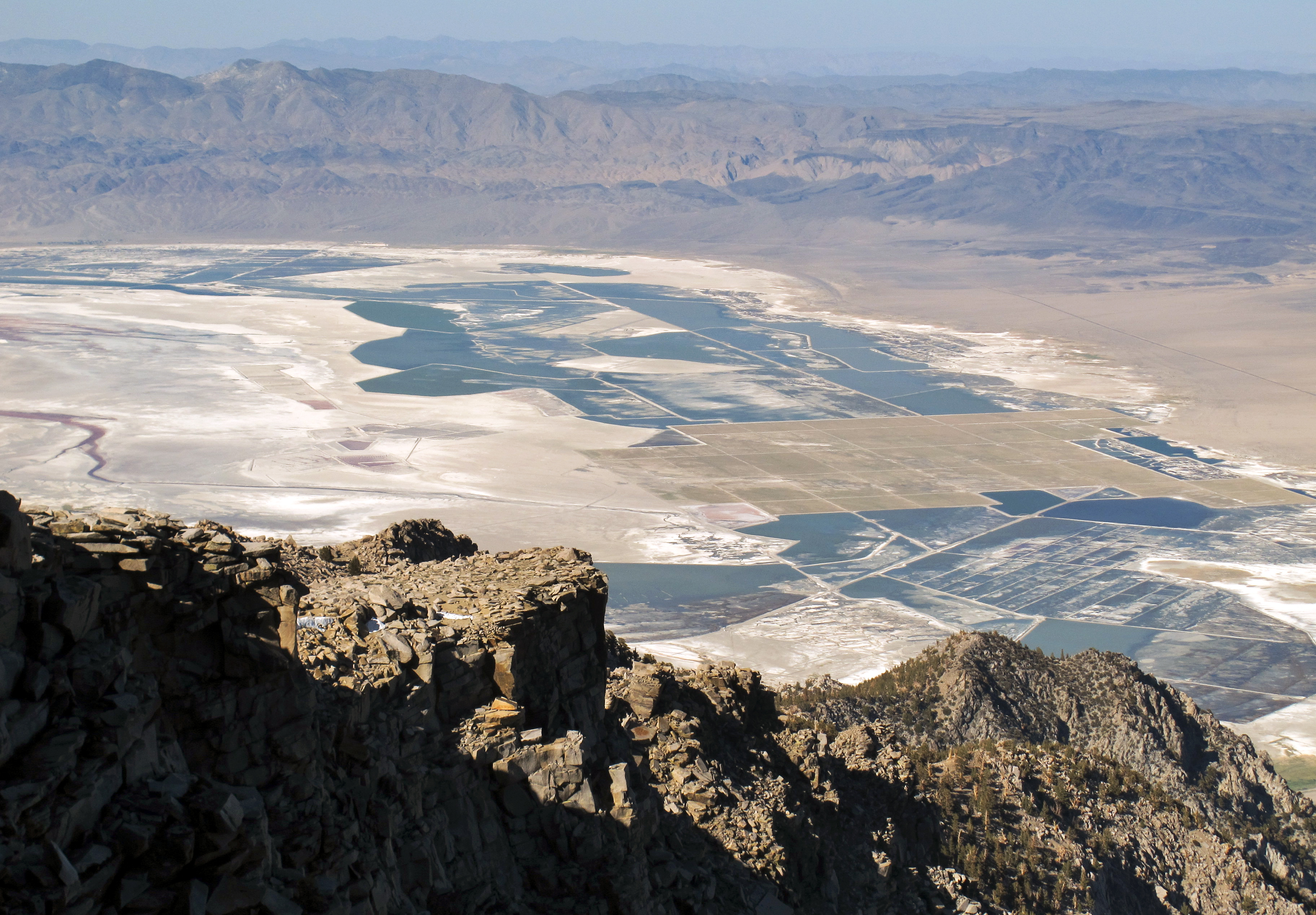
view over Owens Lake from Horshoe
Eastern Sierra

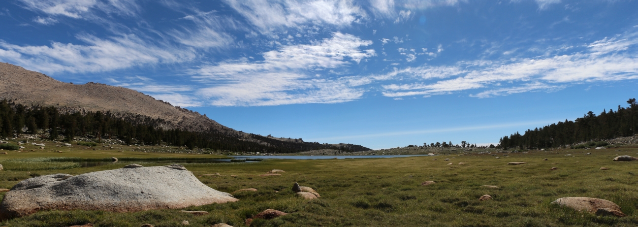
Chicken Springs Lake

View south to the Domeland Wilderness from Olancha Peak
0822 Panorama view of Cottonwood Lake Number 1

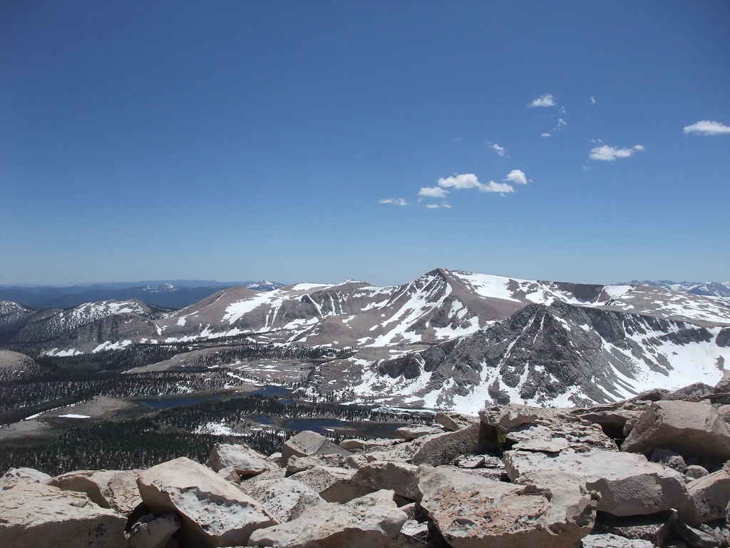
Olancha Peak view, m731
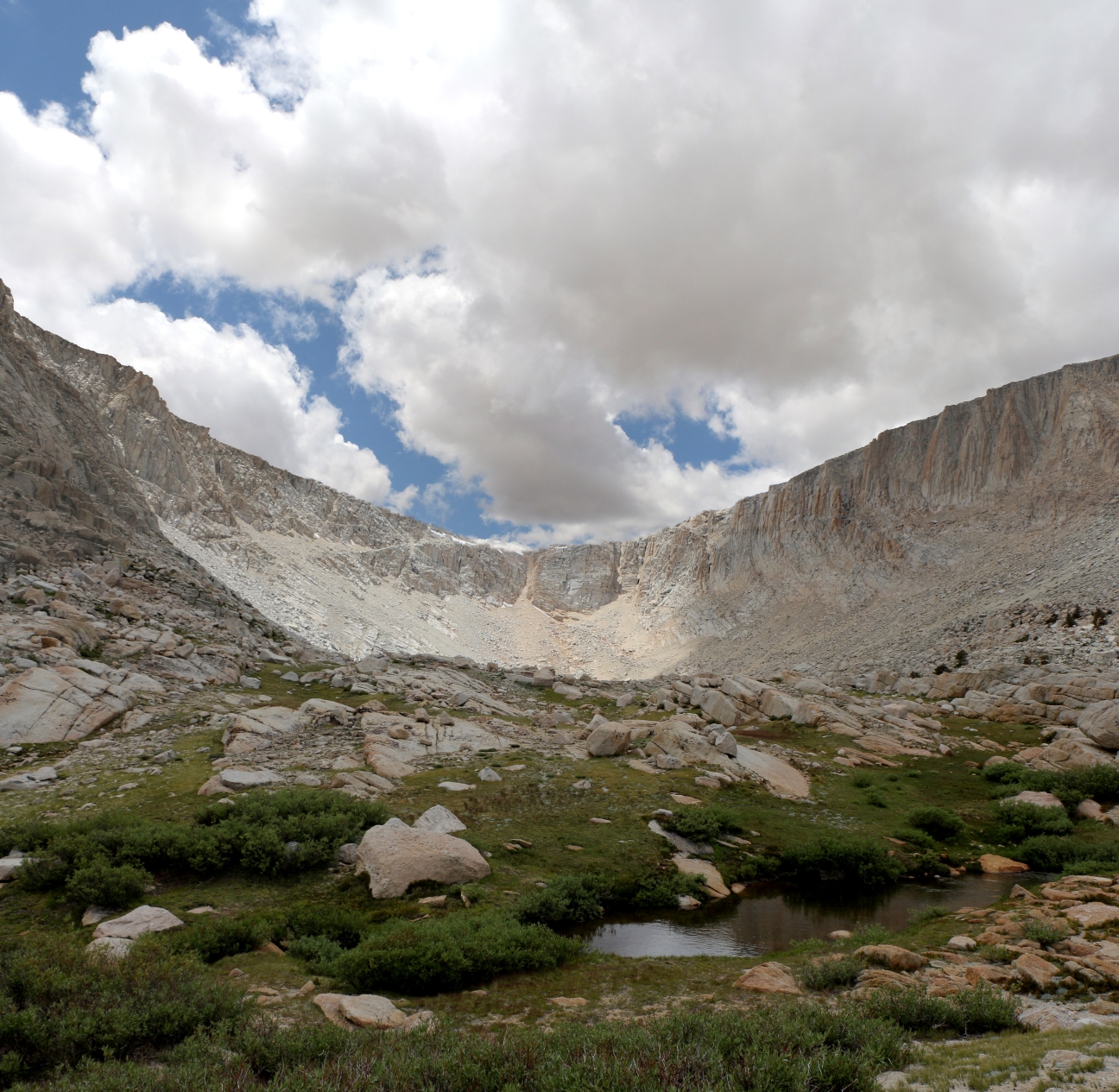
0625 View toward Old Army Pass and the outflow stream from Cottonwood Lake number 4
0618 View toward Old Army Pass and the outflow stream from Cottonwood Lake number 4
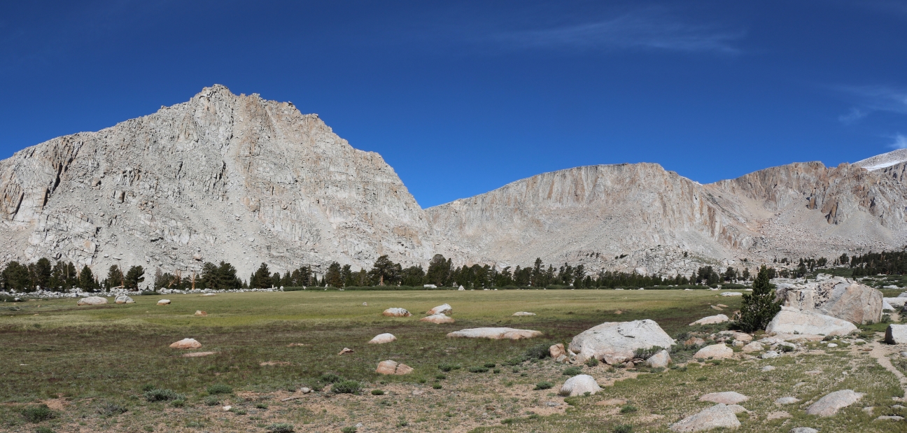
0416 Panorama view north toward Mount Langley from the Cottonwood Lakes Trail
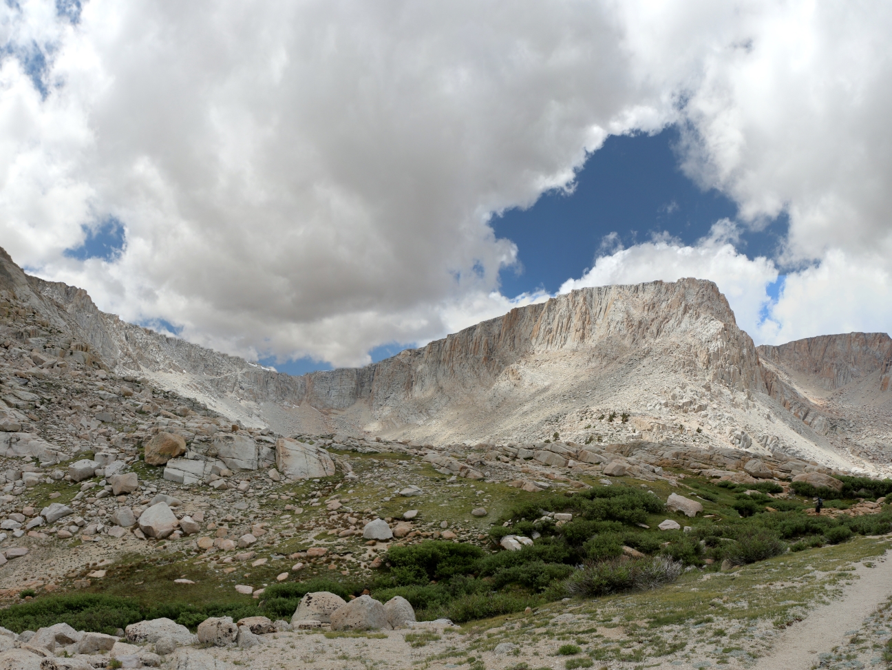
0476 View of Peak 12369 and Mount Langley from across an unnamed lake in the Cottonwood Lakes Basin
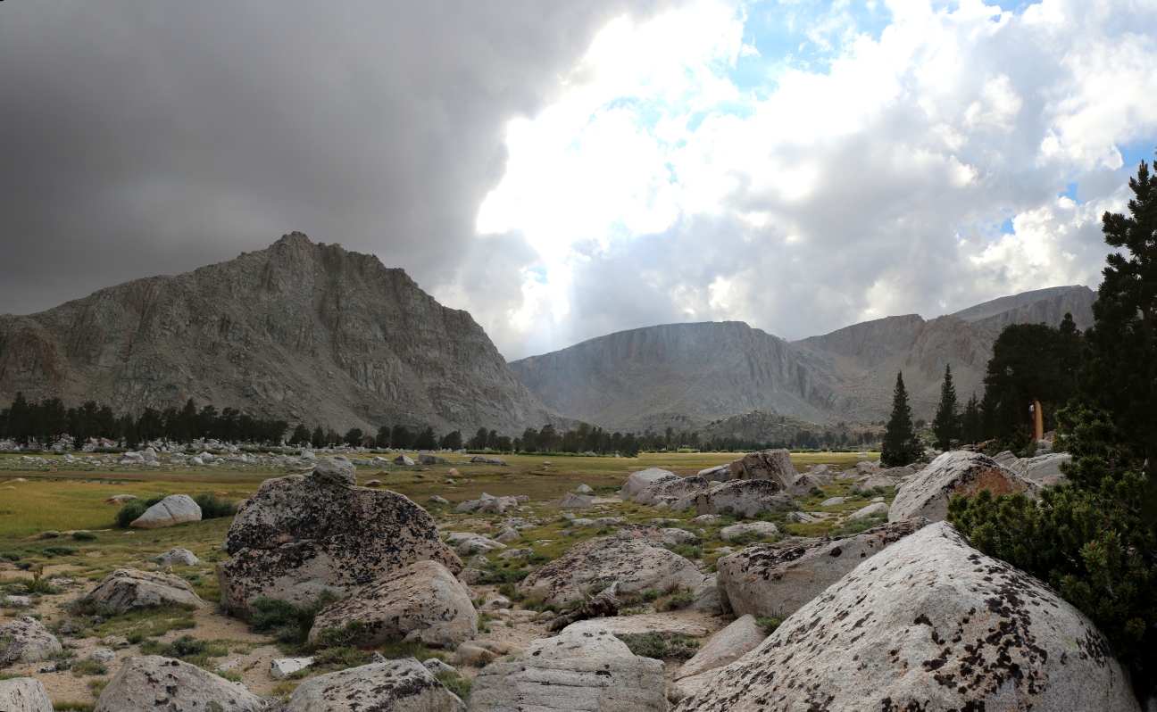
0698 A storm comes rolling in as we enjoy the view from our campsite in the Cottonwood Lakes Basin
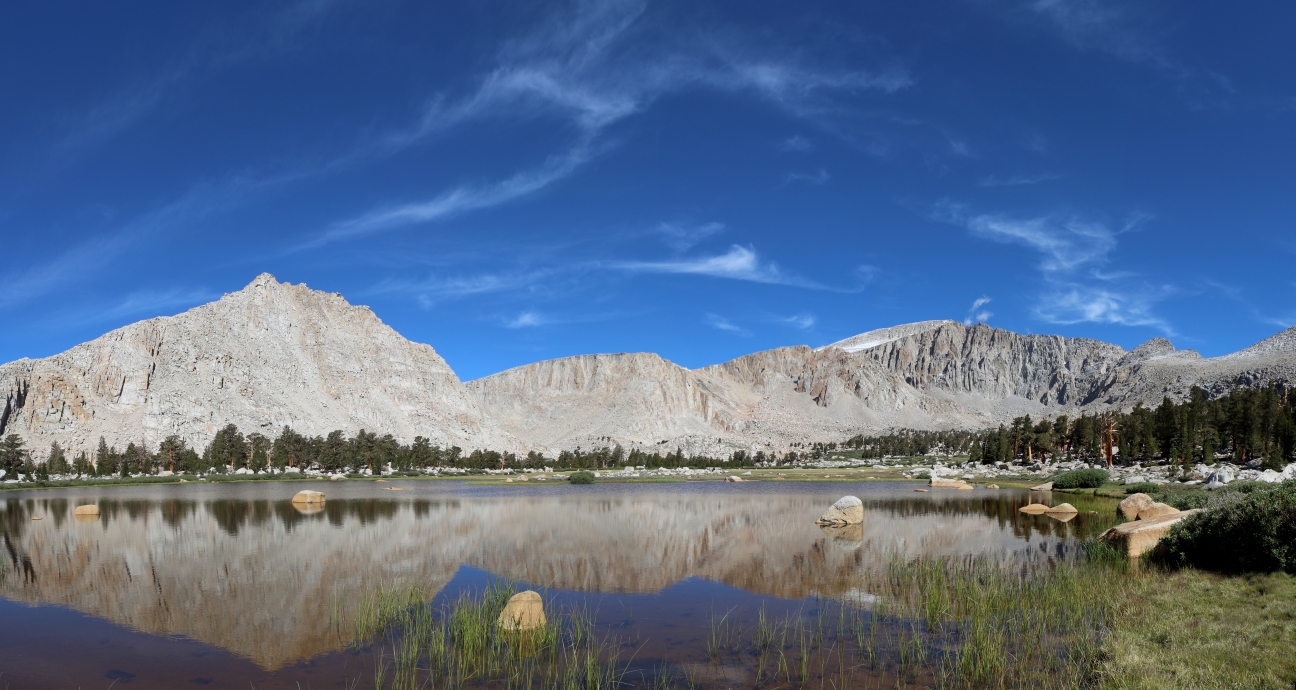
0564 View over an unnamed lake from the Cottonwood Lakes Trail
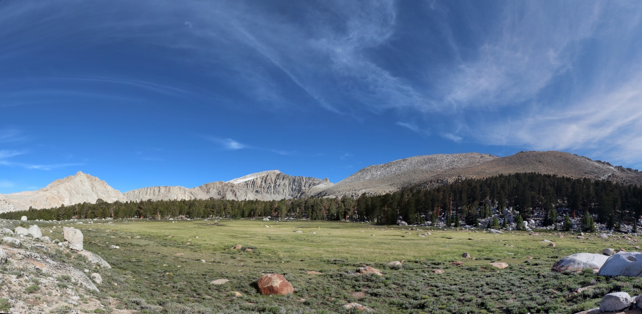
0486 View over the nearby meadow from our campsite in the Cottonwood Lakes Basin
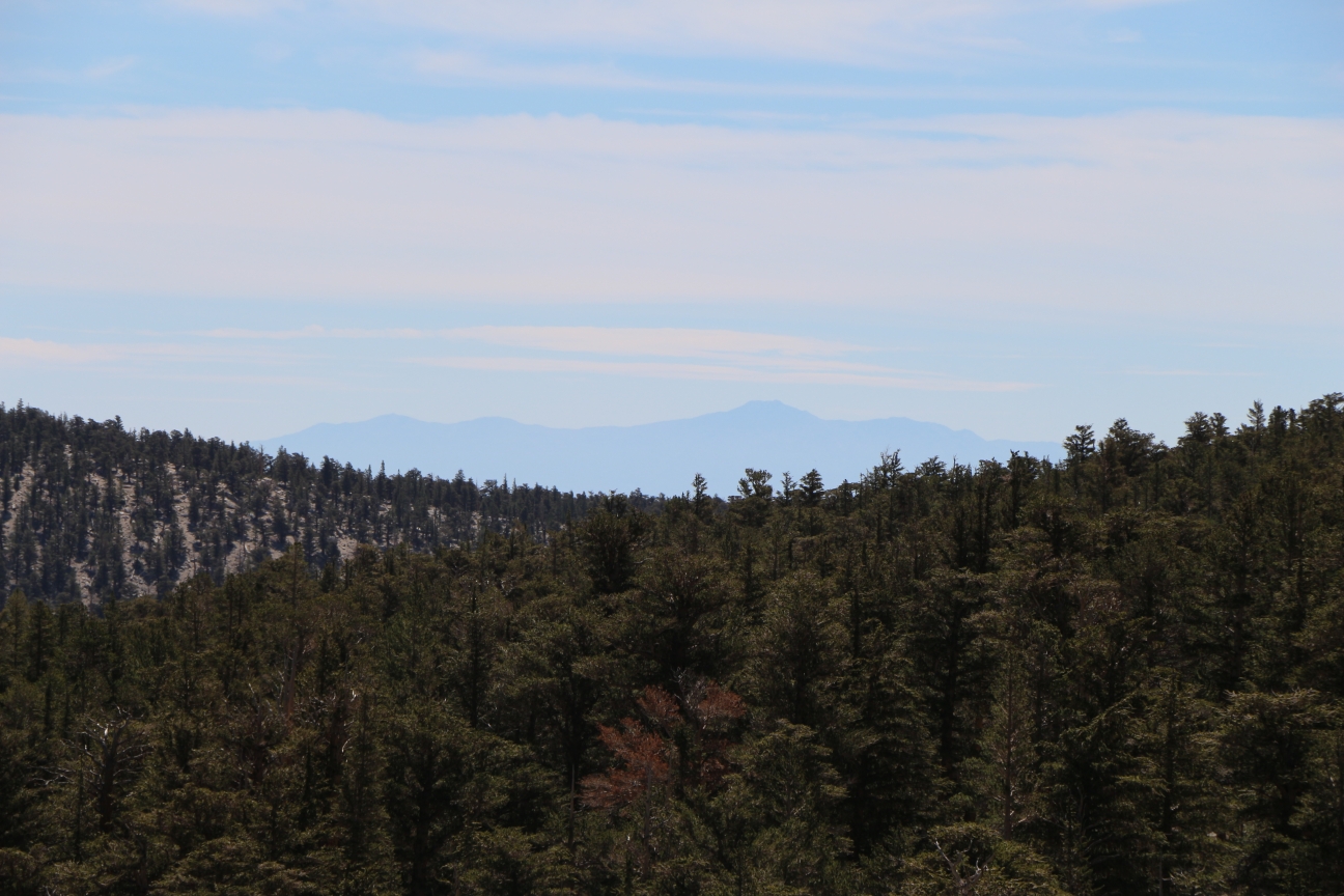
0885 Zoomed-in view of Telescope Peak, 66 miles away, from the Cottonwood Creek Trail
View Northeast from Olancha Peak
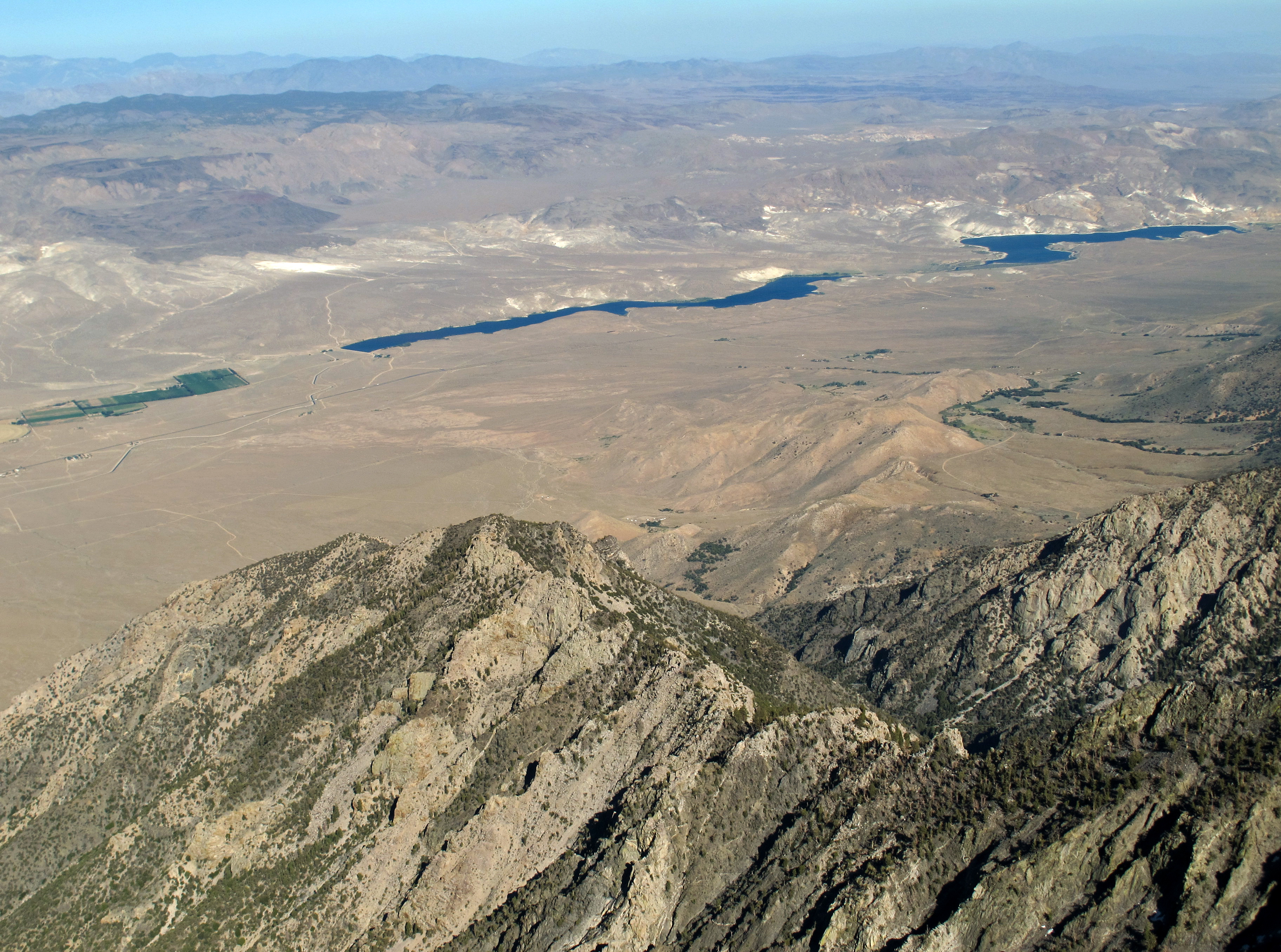
View Southeast from Olancha Peak
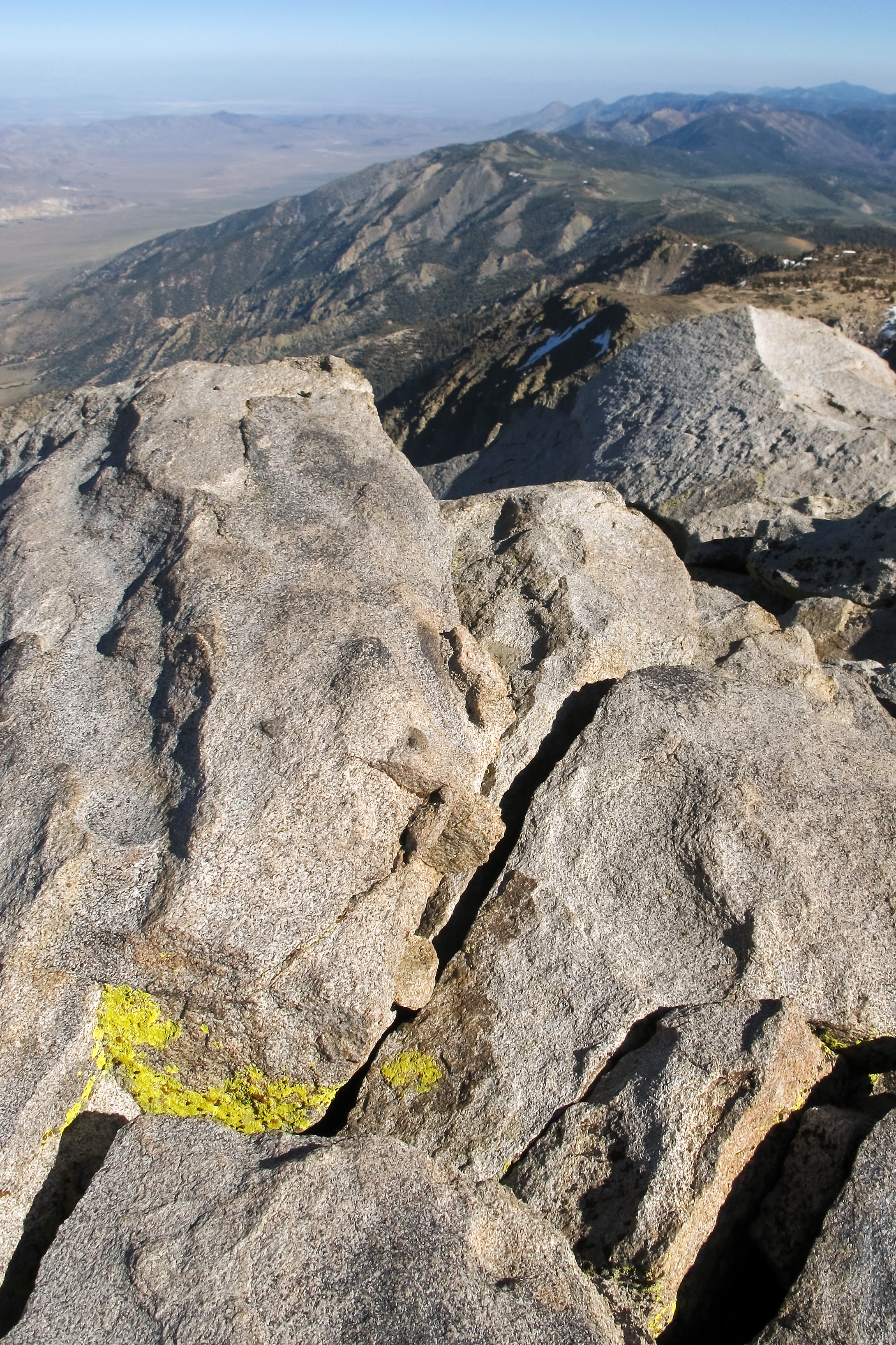
View south along the Sierra crest
Topographic Map of Muah Mountain, California, USA
Find elevation by address:

Places near Muah Mountain, California, USA:
Cartago
Cartago St, Cartago, CA, USA
Olancha
US-, Olancha, CA, USA
California 190
6000 Enchanted Lake Rd
CA-, Lone Pine, CA, USA
Deer Mountain
Keeler
Yerington Ave, Keeler, CA, USA
Kennedy Meadows
97020 Kennedy Meadows Rd
97845 Ponderosa Rd
1 Cinder Rd, Little Lake, CA, USA
Little Lake
Father Crowley Overlook
Inyo County
Bishop
Sterling Rd, Inyokern, CA, USA
Panamint Springs
Recent Searches:
- Elevation of Corso Fratelli Cairoli, 35, Macerata MC, Italy
- Elevation of Tallevast Rd, Sarasota, FL, USA
- Elevation of 4th St E, Sonoma, CA, USA
- Elevation of Black Hollow Rd, Pennsdale, PA, USA
- Elevation of Oakland Ave, Williamsport, PA, USA
- Elevation of Pedrógão Grande, Portugal
- Elevation of Klee Dr, Martinsburg, WV, USA
- Elevation of Via Roma, Pieranica CR, Italy
- Elevation of Tavkvetili Mountain, Georgia
- Elevation of Hartfords Bluff Cir, Mt Pleasant, SC, USA