Elevation of Deer Mountain, California, USA
Location: United States > California > Inyokern >
Longitude: -118.12480
Latitude: 36.1493857
Elevation: 2867m / 9406feet
Barometric Pressure: 71KPa
Elevation Map:
Satellite Map:
Related Photos:

Fish Creek

The view

View south to the Domeland Wilderness from Olancha Peak
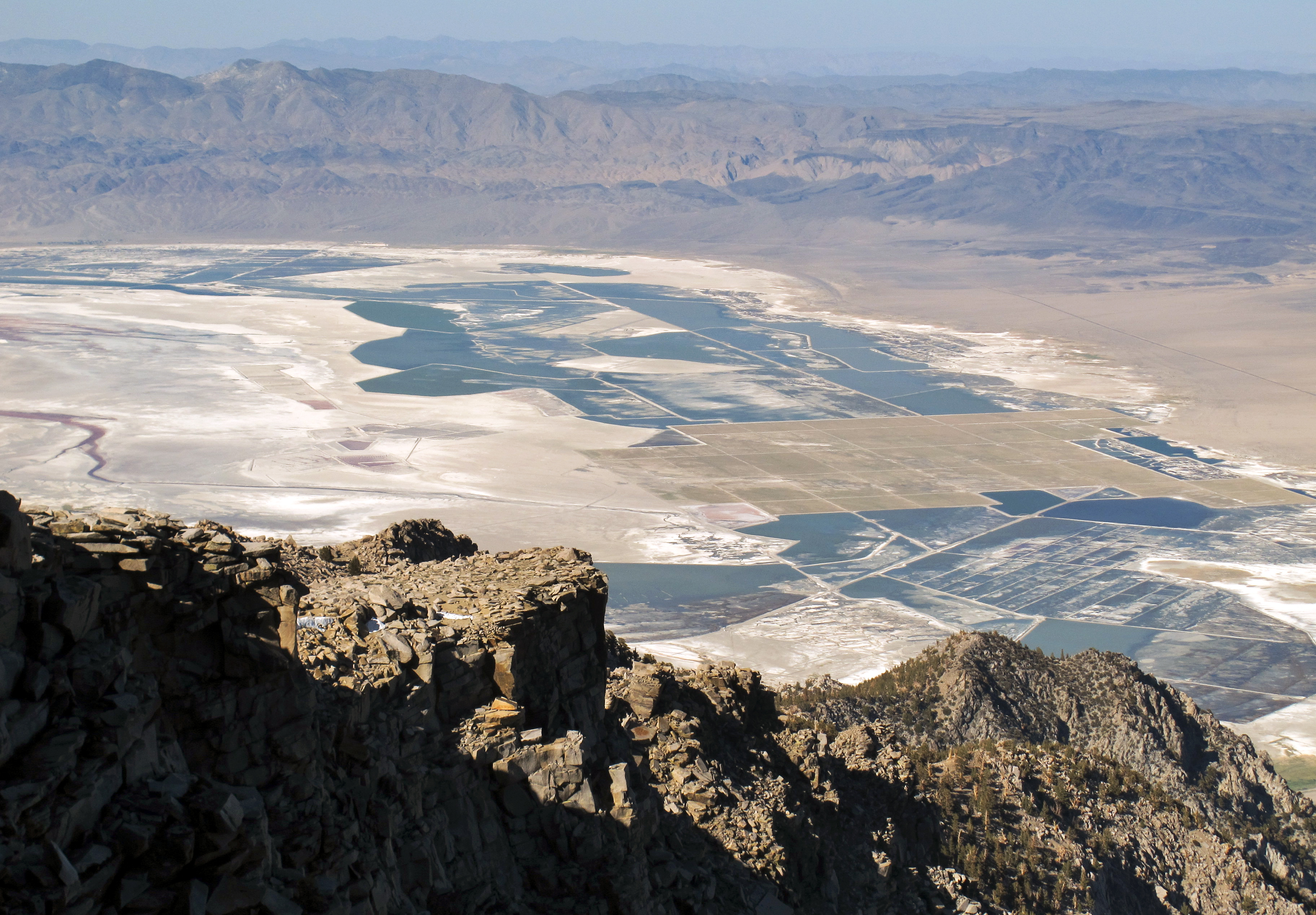
View Northeast from Olancha Peak
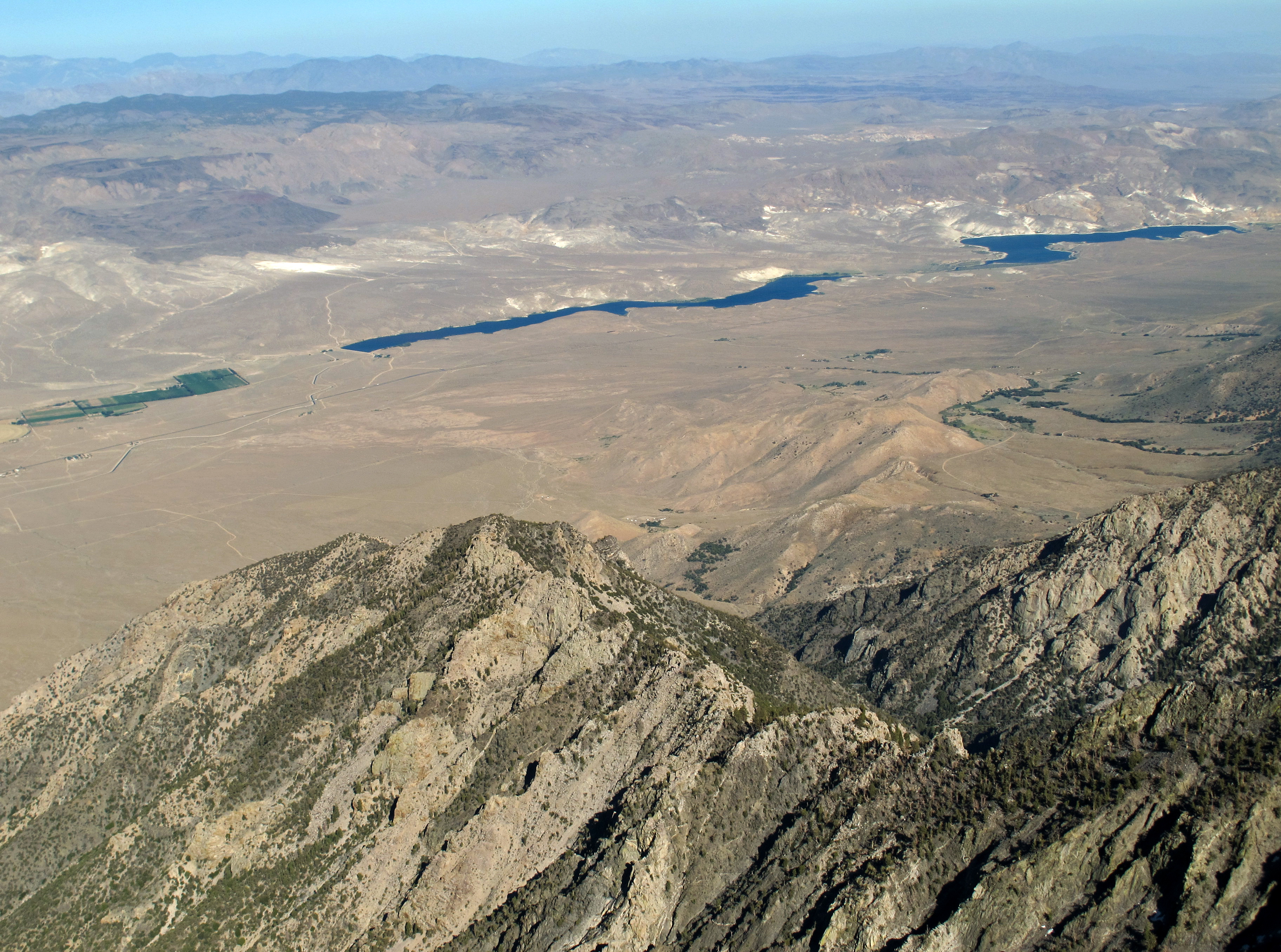
View Southeast from Olancha Peak
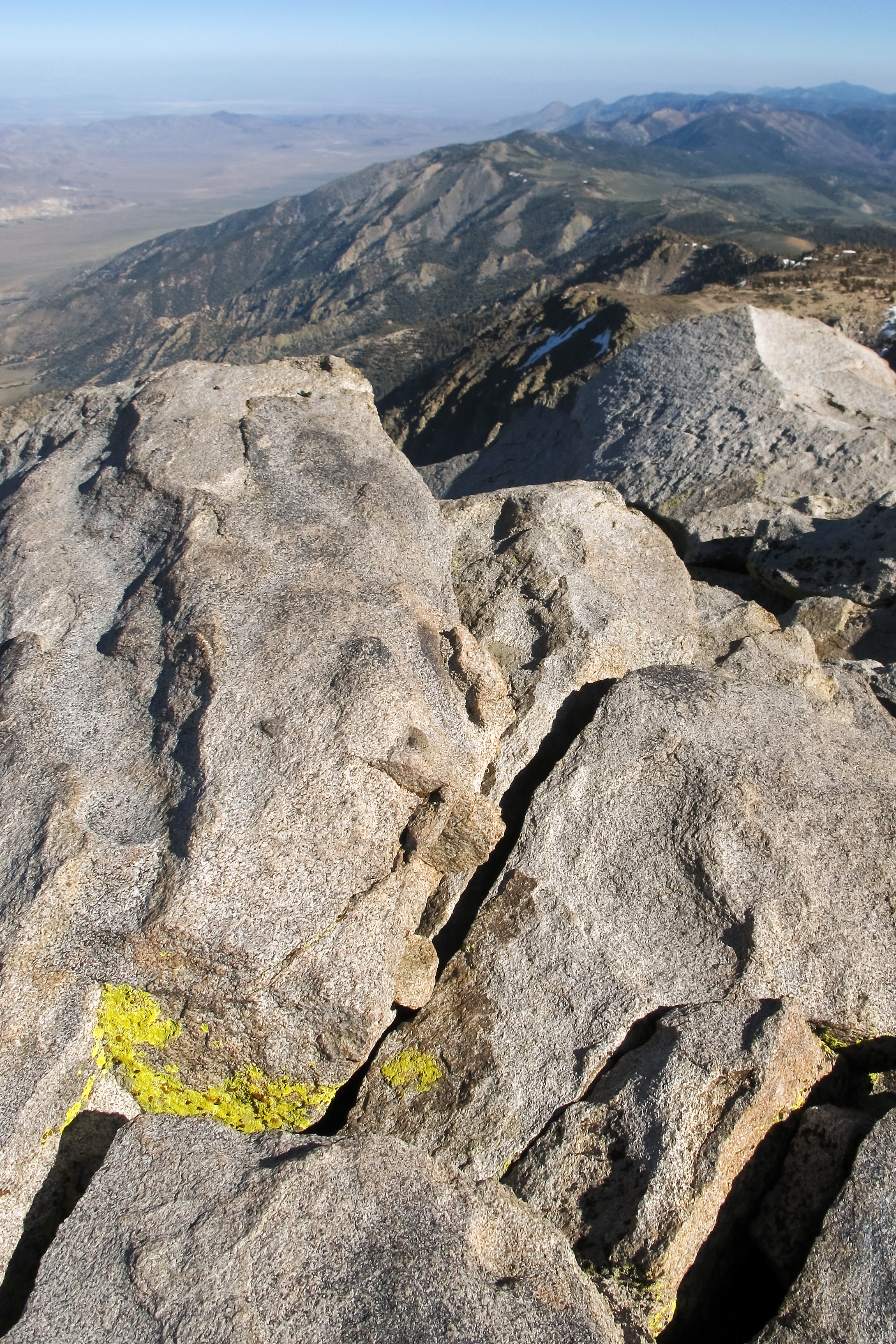
View south along the Sierra crest
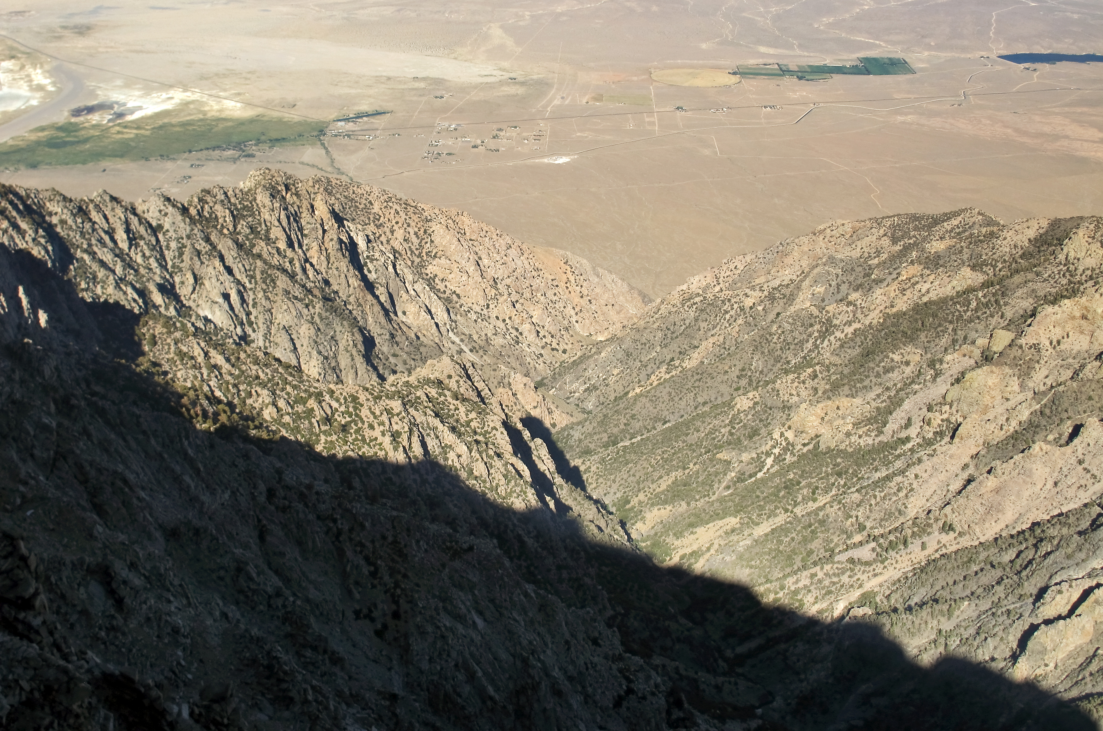
Olancha Canyon

Sierra Nevada Landscape
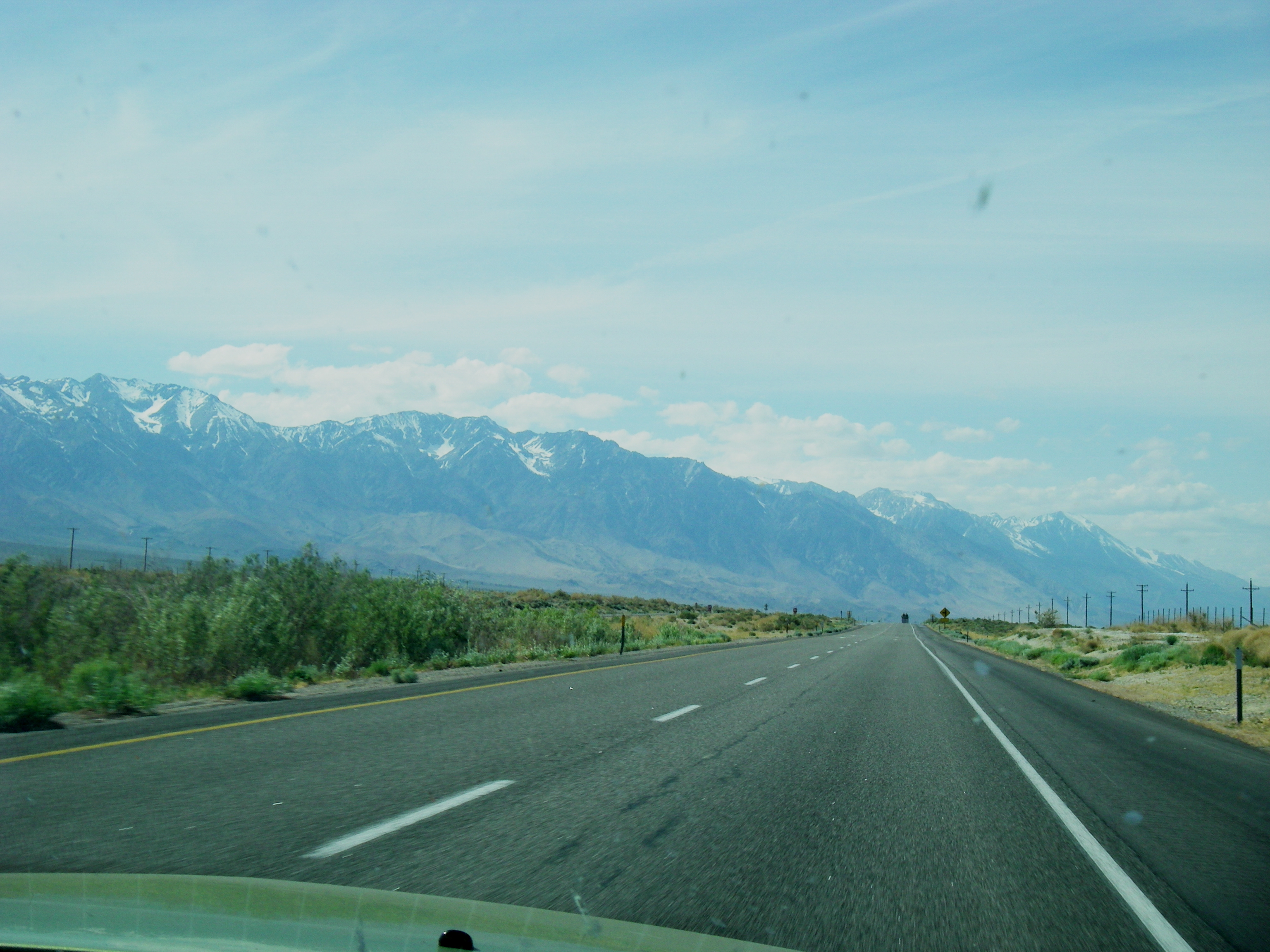
The Sierras from the front seat
Topographic Map of Deer Mountain, California, USA
Find elevation by address:

Places near Deer Mountain, California, USA:
Kennedy Meadows
97020 Kennedy Meadows Rd
97845 Ponderosa Rd
6000 Enchanted Lake Rd
US-, Olancha, CA, USA
Olancha
Cartago
Cartago St, Cartago, CA, USA
Muah Mountain
1 Cinder Rd, Little Lake, CA, USA
Little Lake
California 190
Sterling Rd, Inyokern, CA, USA
Keeler
Yerington Ave, Keeler, CA, USA
CA-, Lone Pine, CA, USA
US-, Inyokern, CA, USA
Inyokern
Inyo County
Bishop
Recent Searches:
- Elevation of Corso Fratelli Cairoli, 35, Macerata MC, Italy
- Elevation of Tallevast Rd, Sarasota, FL, USA
- Elevation of 4th St E, Sonoma, CA, USA
- Elevation of Black Hollow Rd, Pennsdale, PA, USA
- Elevation of Oakland Ave, Williamsport, PA, USA
- Elevation of Pedrógão Grande, Portugal
- Elevation of Klee Dr, Martinsburg, WV, USA
- Elevation of Via Roma, Pieranica CR, Italy
- Elevation of Tavkvetili Mountain, Georgia
- Elevation of Hartfords Bluff Cir, Mt Pleasant, SC, USA