Elevation of Mt Holly Rd, Waynesville, OH, USA
Location: United States > Ohio > Warren County > Wayne Township > Waynesville >
Longitude: -84.03232
Latitude: 39.571943
Elevation: 237m / 778feet
Barometric Pressure: 99KPa
Elevation Map:
Satellite Map:
Related Photos:

Parachute deployment
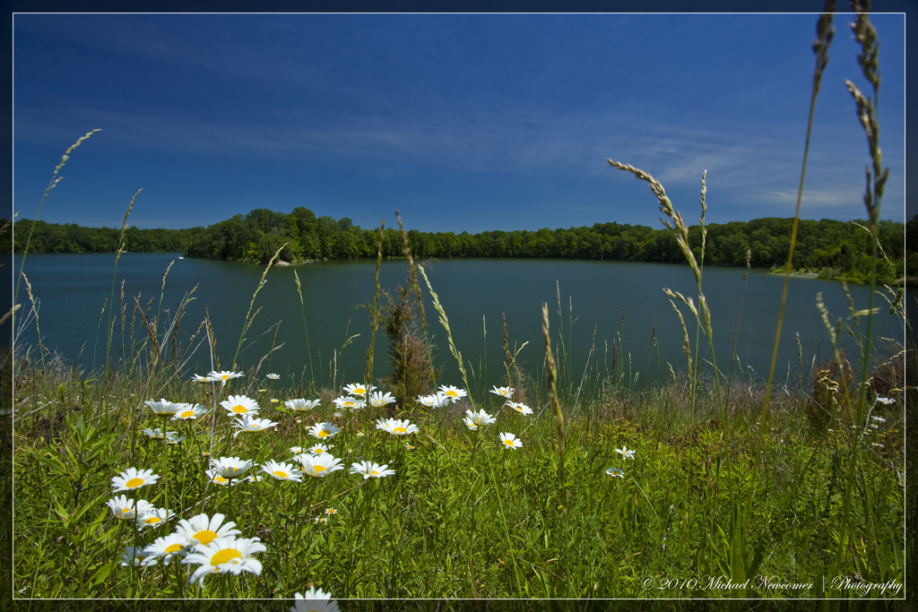
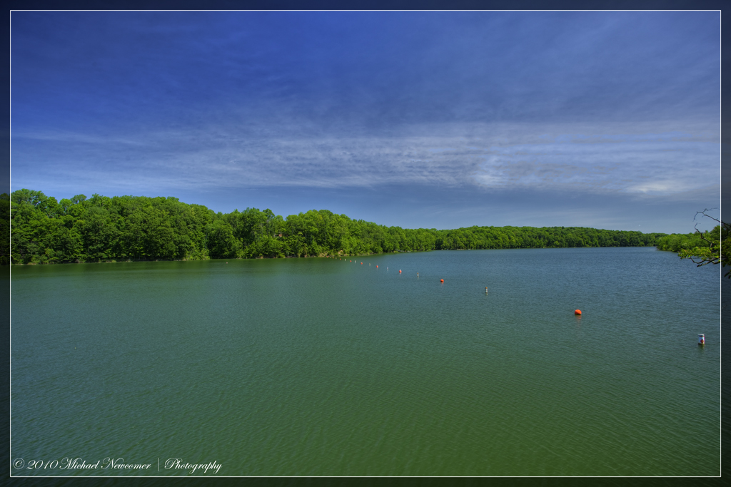
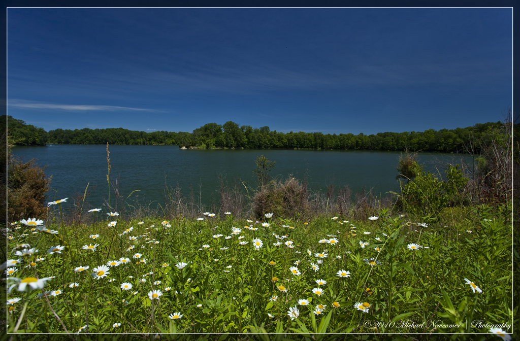
Caesar Creek Lake View
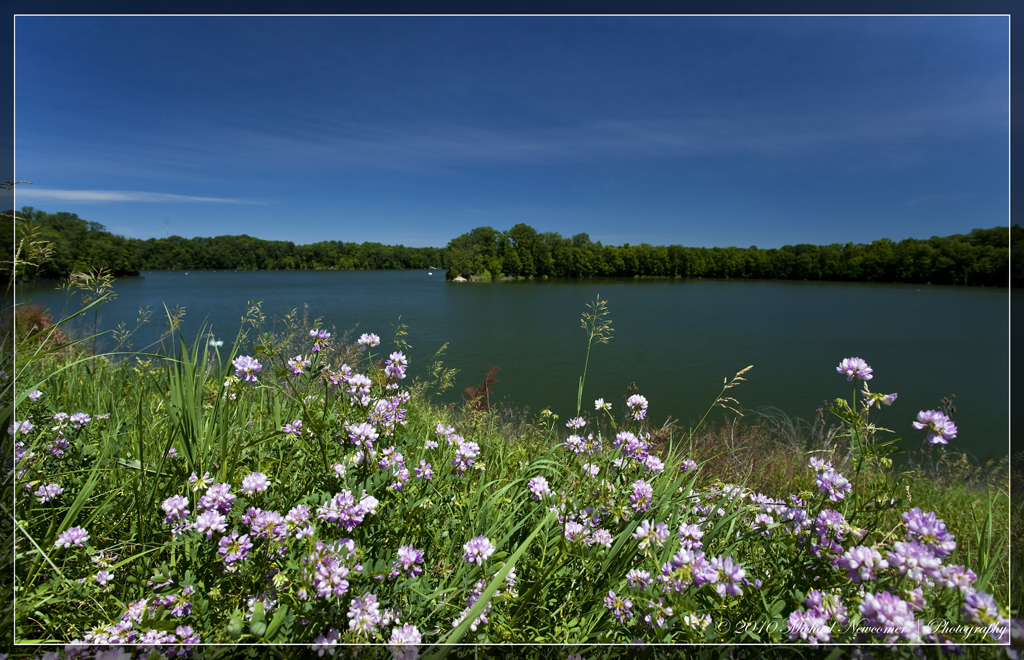
Caesar Creek Lake View
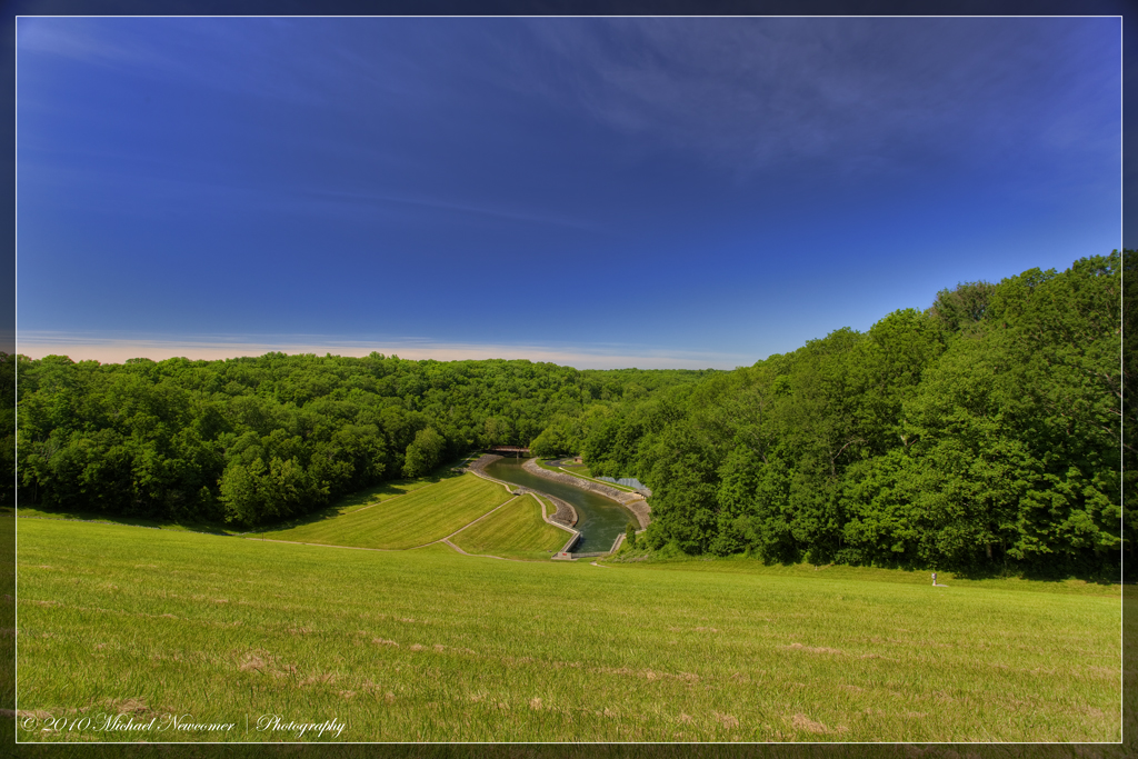
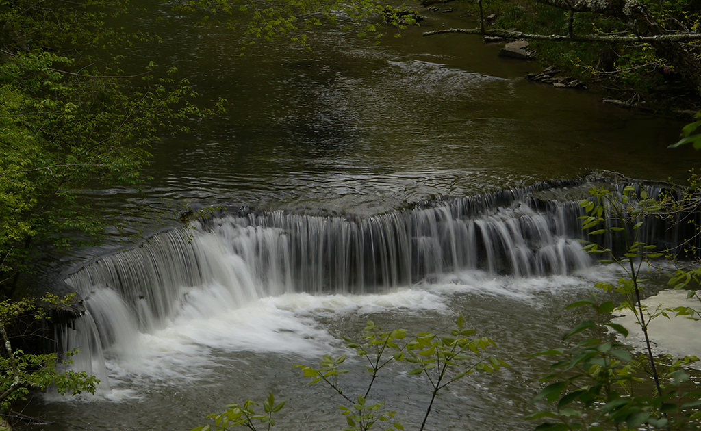
Caesar Creek Spillway View
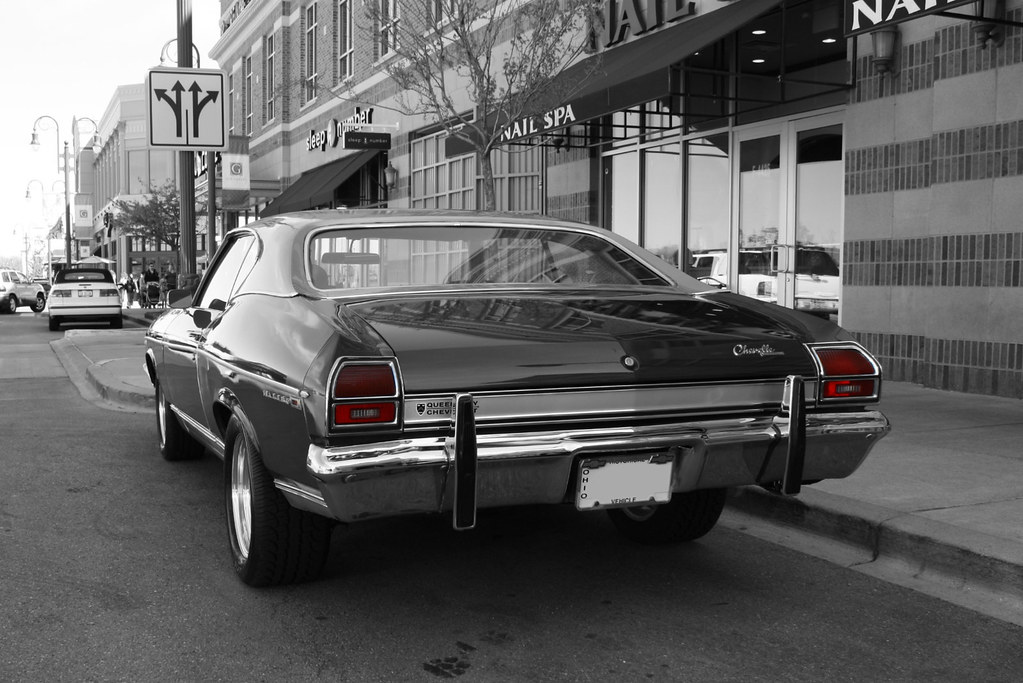
Hold Your Own
Caesar Creek Lake View

Squirrels View
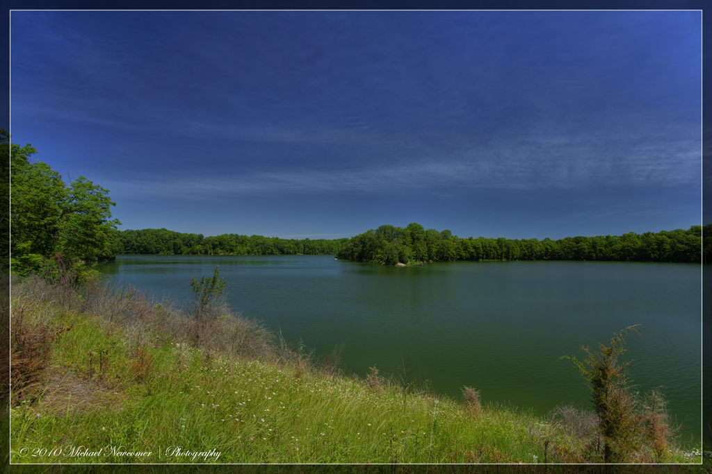
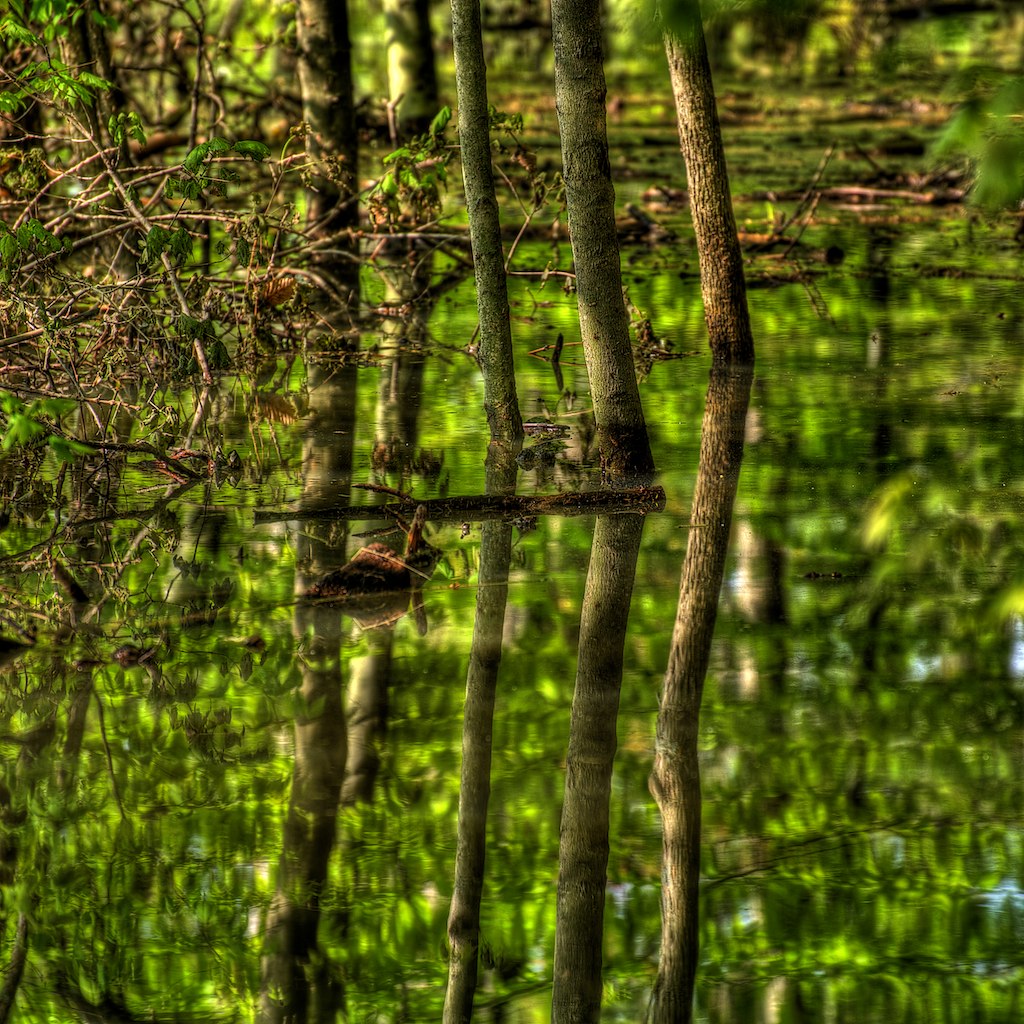
Caesar Creek Lake View
Caesar Creek Lake View

Cemetery View

Caesar Creek Spillway View
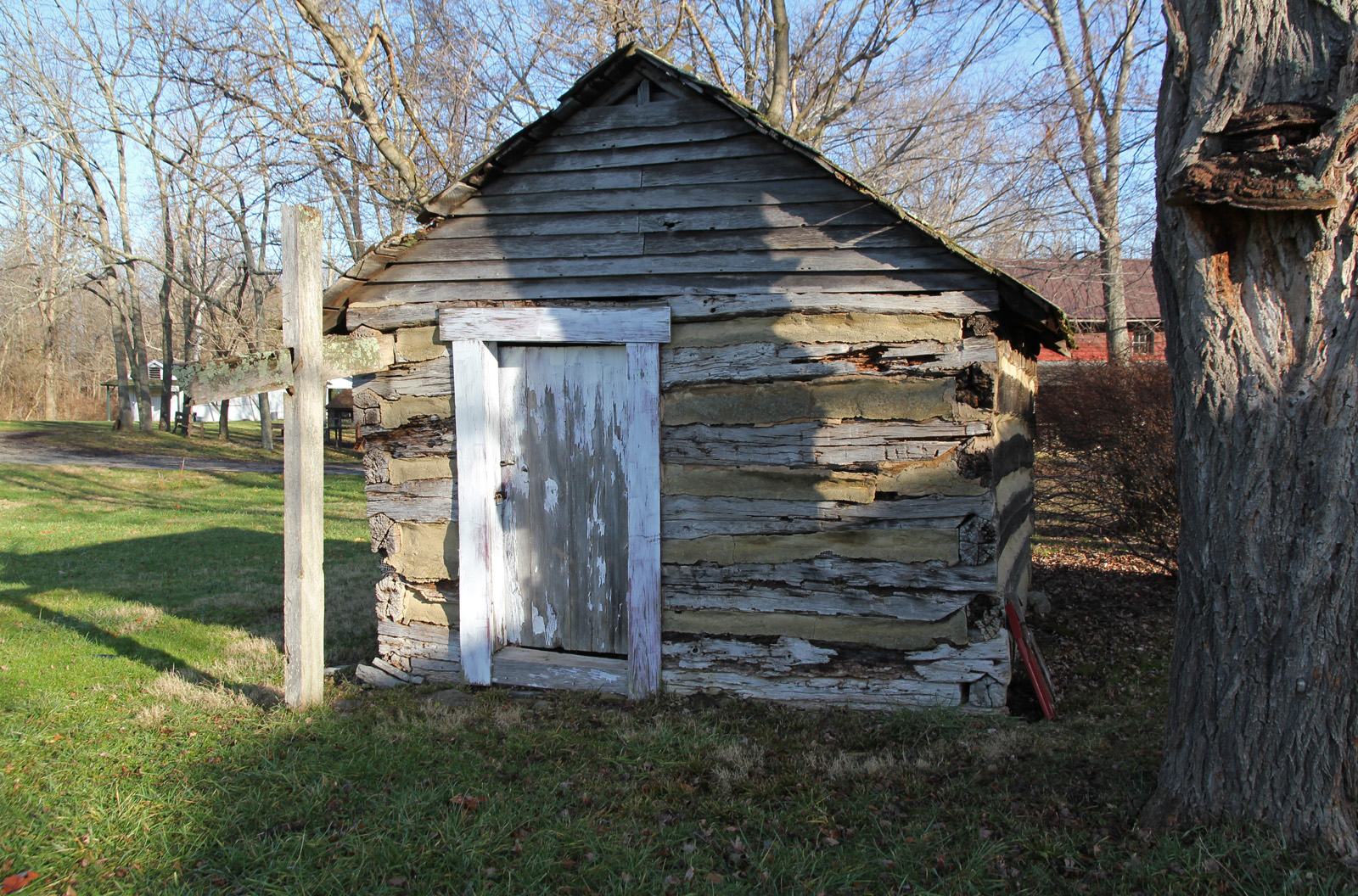
Elam Smokehouse — Caesar's Creek Pioneer Village, Harveysburg, OH
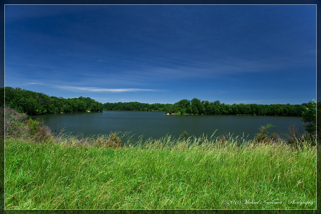
Caesar Creek Lake View

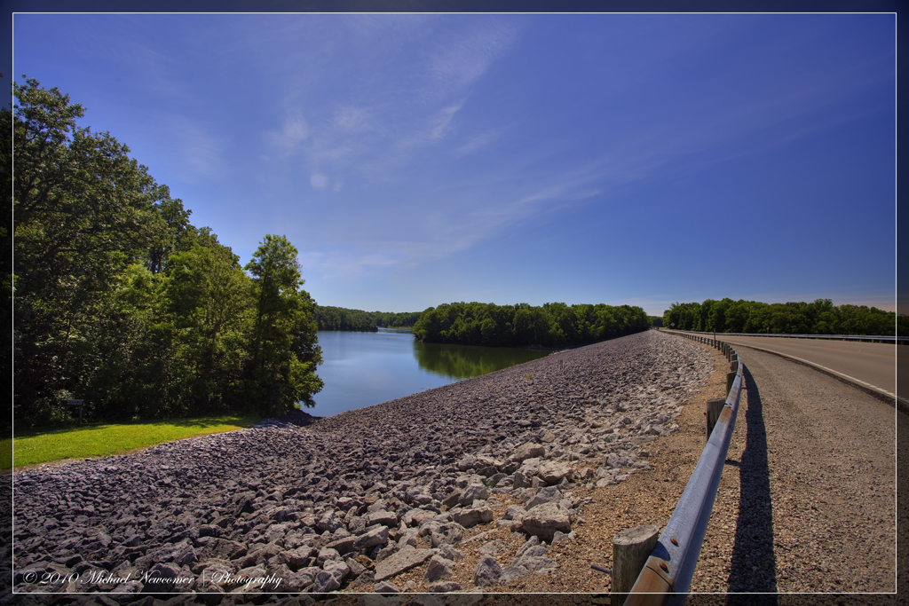
Caesar Creek Spillway View
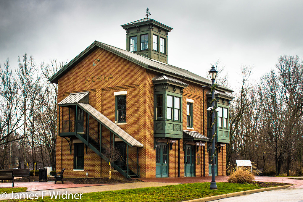
Xenia Station alternate view
Caesar Creek Dam View
Caesar Creek Spillway View
Caesar Creek Spillway View
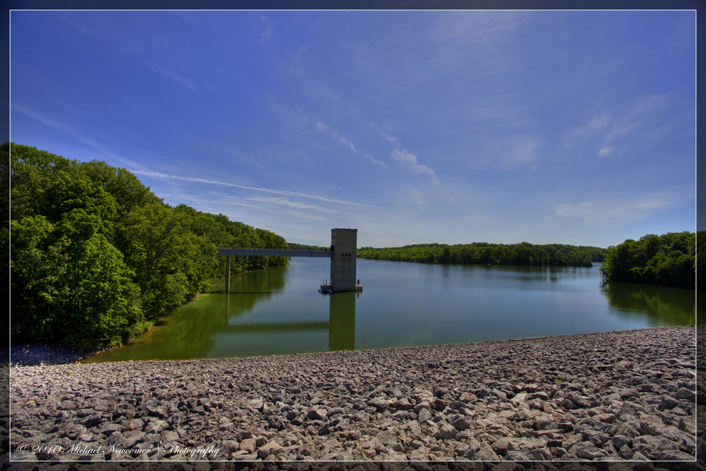
Caesar Creek Dam View
Horseshoe Falls aerial view
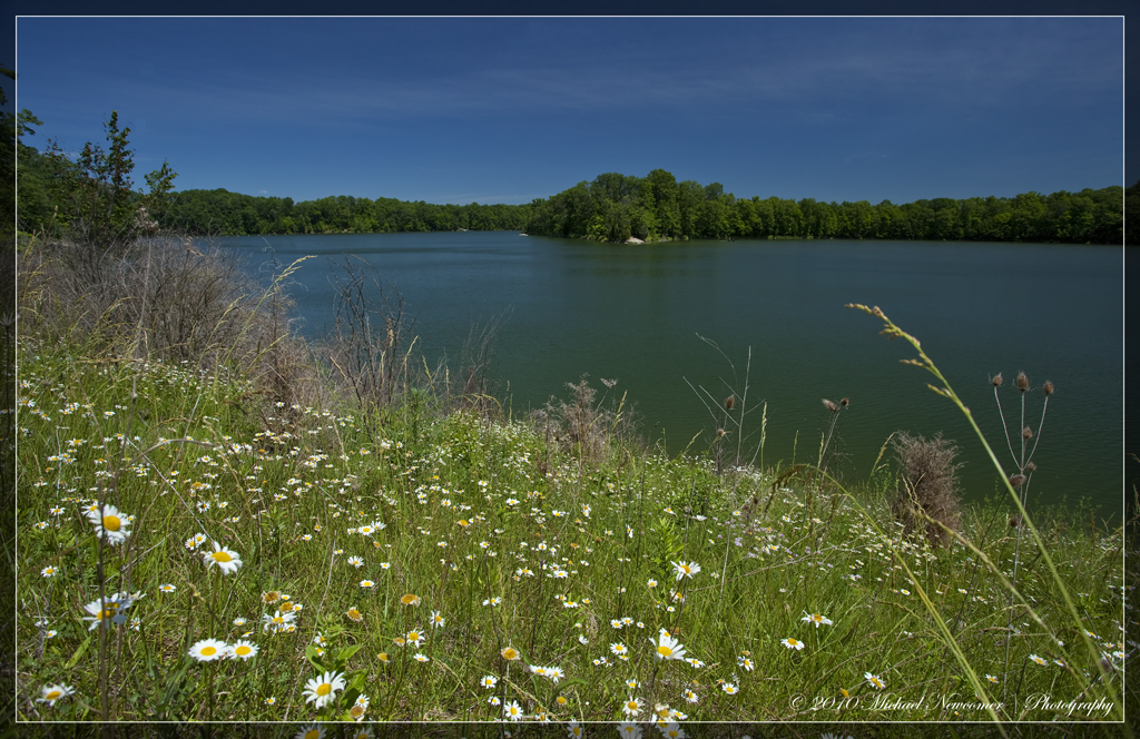
Caesar Creek Lake View

HorseShoe Falls

2011-07-03 at 06-03-37

Horseshoe Falls
2011-05-07 at 09-30-14
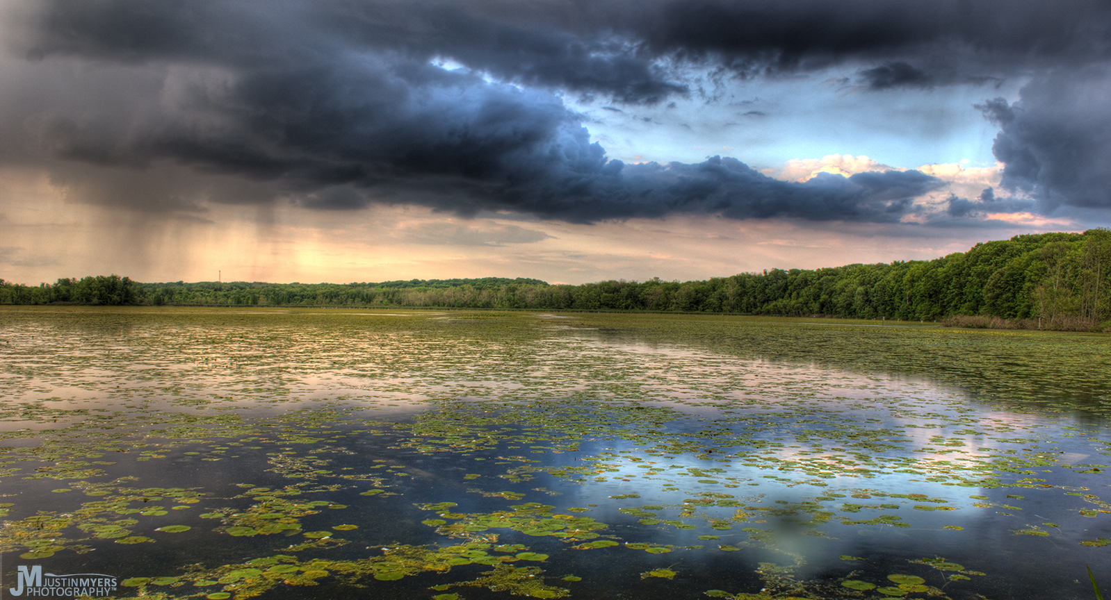
Stormy Marsh

2011-05-07 at 08-44-00

2011-07-03 at 07-27-46

GREAT BLUE HERON at the MUDFLAT

Grant Park After Rain

Caterpillar grass

Pic doesn't quite catch how pretty tonight's sunset was...
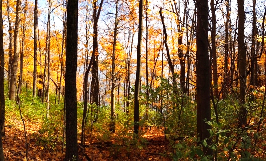
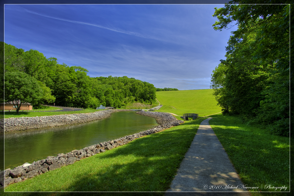
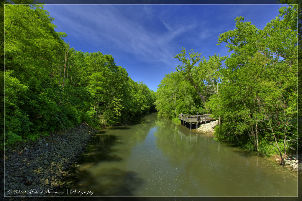
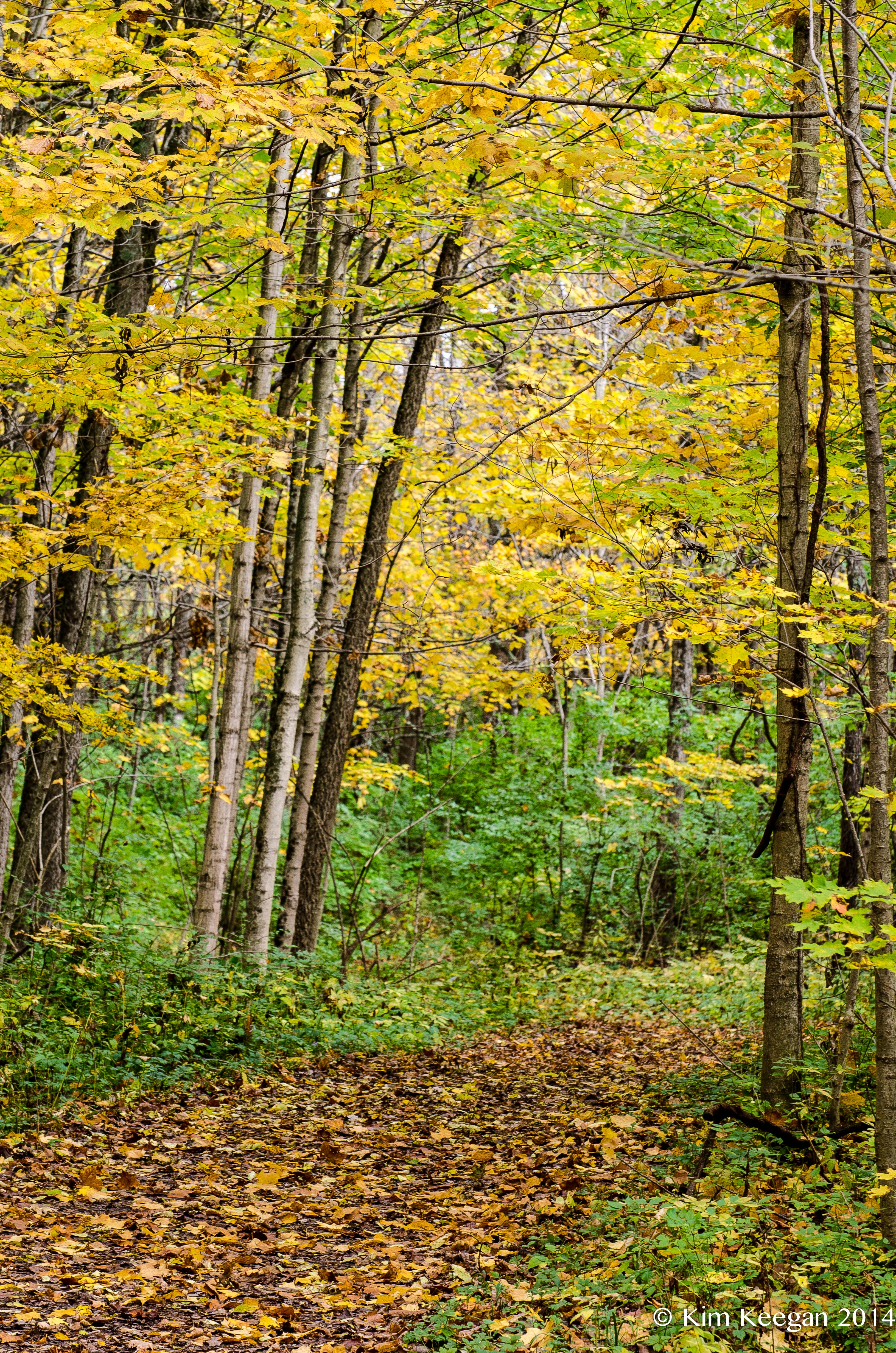
Caesar's Creek Trail

Washington Mill Park Sunrise - 2

Ohio Landscape

Xenia Sunset 2

Summer on the Prairie

Forest sunset
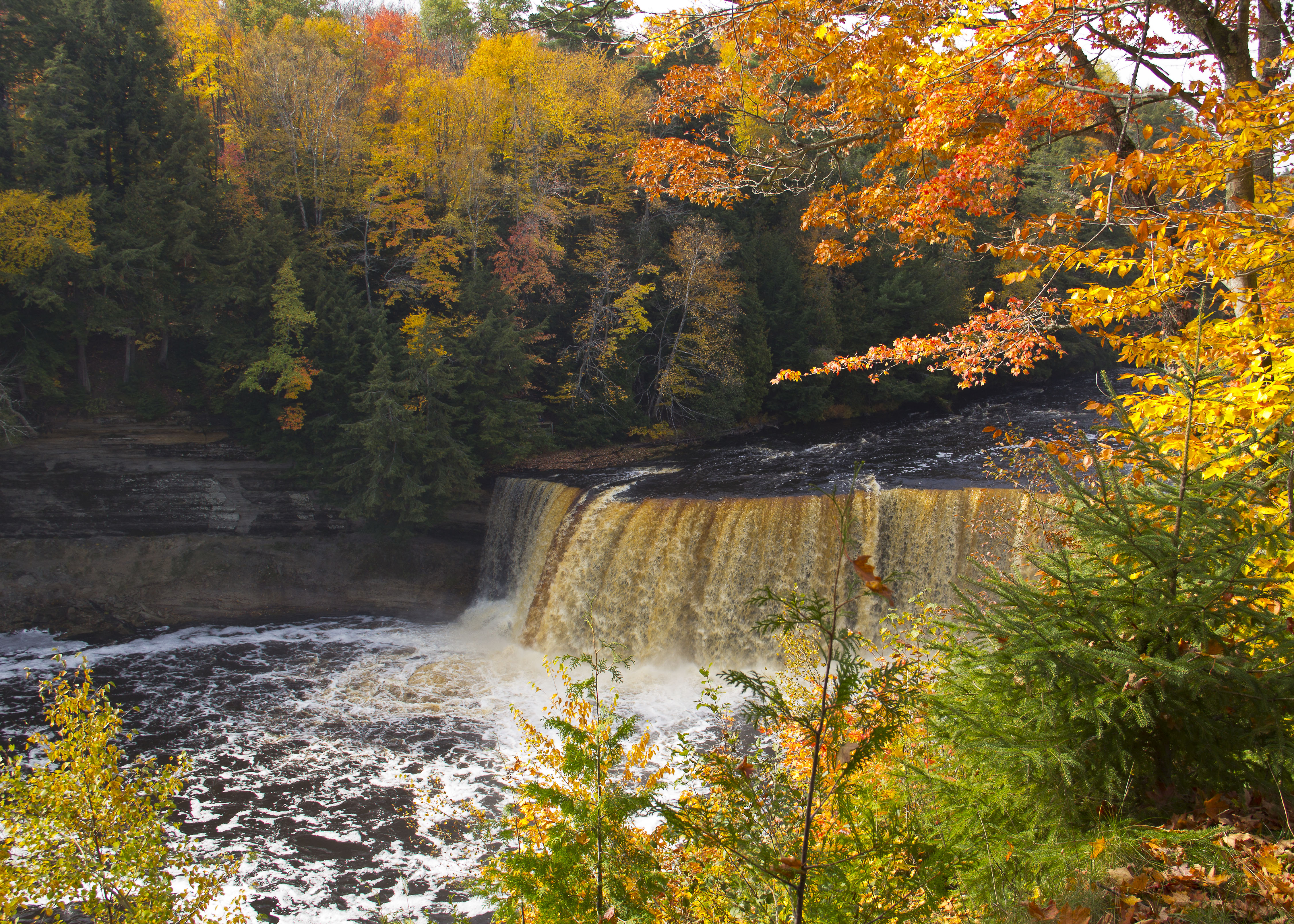
Upper Tahquamenon Falls
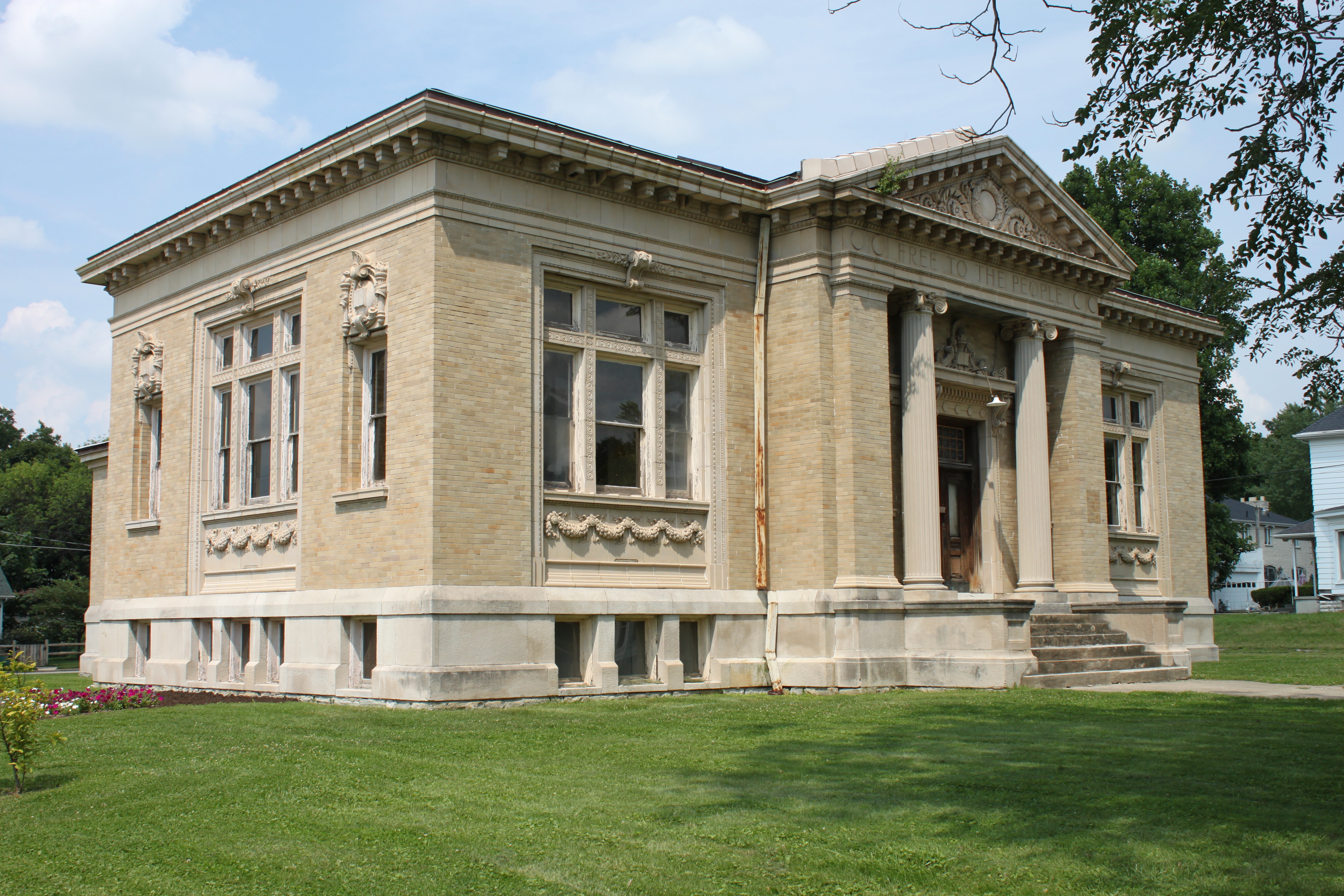
Carnegie Library, Xenia, OH

Grass Blowing in the Wind
Orange Trail - Color Zones
Topographic Map of Mt Holly Rd, Waynesville, OH, USA
Find elevation by address:

Places near Mt Holly Rd, Waynesville, OH, USA:
3600 Middle Run Rd
2589 Oh-725
Sugarcreek Township
5100 Chenoweth Rd
2329 Sieber Trace
2518 Vimark Ln
Bellbrook
154 Washington Mill Rd
1927 Shore Dr
4001 E Social Row Rd
4001 E Social Row Rd
4001 E Social Row Rd
4179 Woodedge Dr
4289 Brewster's Run Ct
3550 Lytle Rd
1790 E Social Row Rd
7600 John Elwood Dr
1413 Langdon Dr
1937 Vista Oak Trail
1937 Vista Oak Trail
Recent Searches:
- Elevation of Zu den Ihlowbergen, Althüttendorf, Germany
- Elevation of Badaber, Peshawar, Khyber Pakhtunkhwa, Pakistan
- Elevation of SE Heron Loop, Lincoln City, OR, USA
- Elevation of Slanický ostrov, 01 Námestovo, Slovakia
- Elevation of Spaceport America, Co Rd A, Truth or Consequences, NM, USA
- Elevation of Warwick, RI, USA
- Elevation of Fern Rd, Whitmore, CA, USA
- Elevation of 62 Abbey St, Marshfield, MA, USA
- Elevation of Fernwood, Bradenton, FL, USA
- Elevation of Felindre, Swansea SA5 7LU, UK