Elevation of Sugarcreek Township, OH, USA
Location: United States > Ohio > Greene County >
Longitude: -84.069596
Latitude: 39.6141572
Elevation: 280m / 919feet
Barometric Pressure: 98KPa
Elevation Map:
Satellite Map:
Related Photos:

VIRGINIA RAIL

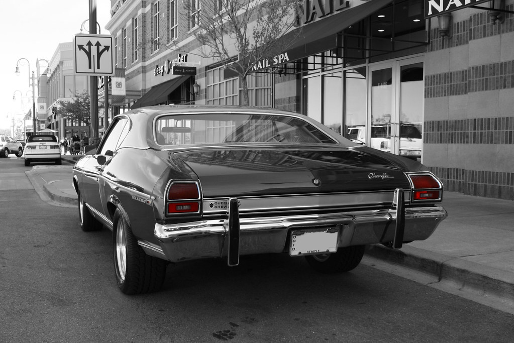
In a Laundromat Dimly Lit

Parachute deployment

VIRGINIA RAIL with PREY
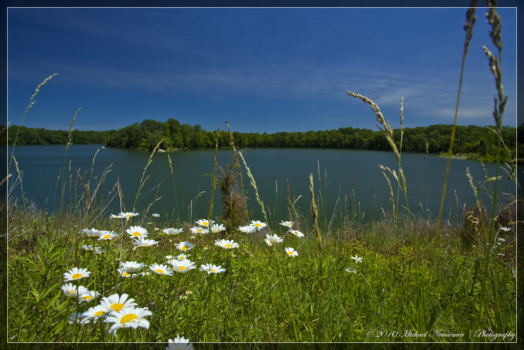
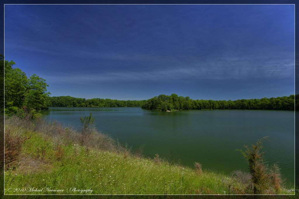
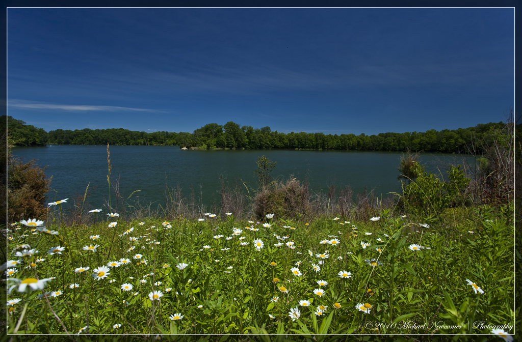
Caesar Creek Lake View

Caesar Creek Lake View

LOOKING FOR A CALIFORNIA -- LARGER GULLS OFF HARVEYSBURG RD on MARCH 26th
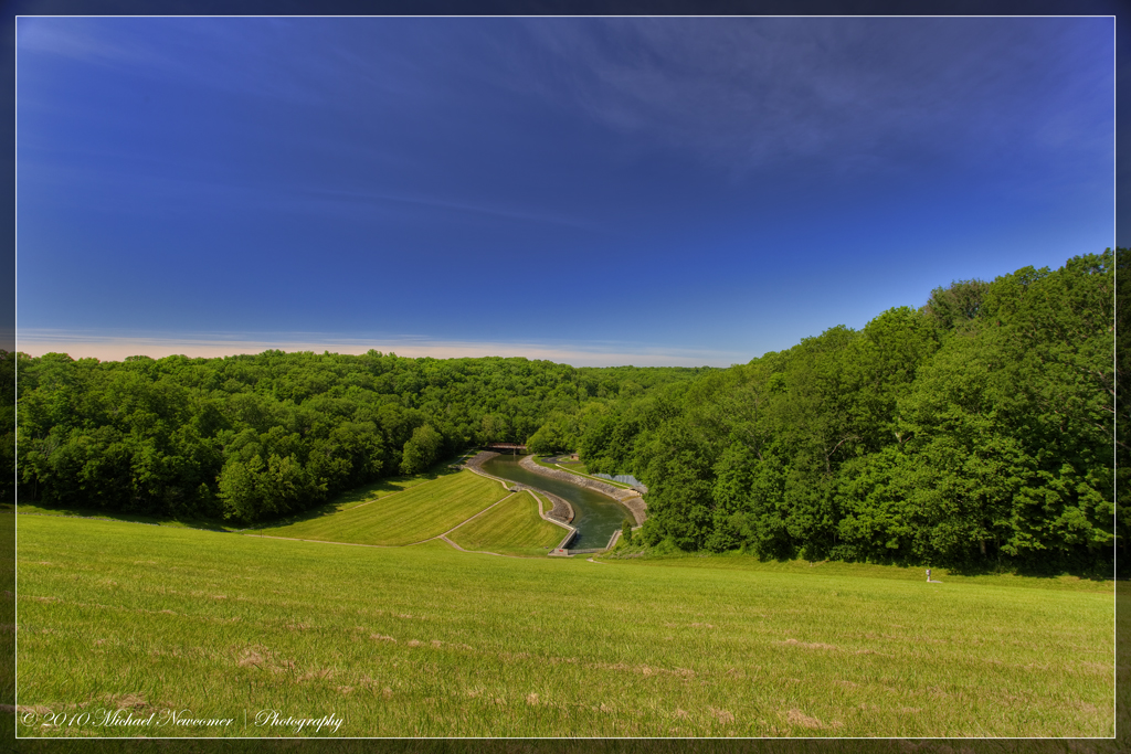
Caesar Creek Spillway View
Hold Your Own
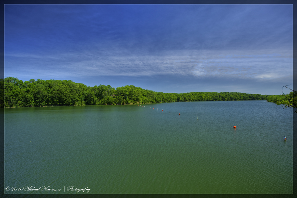
Caesar Creek Lake View
Caesar Creek Lake View
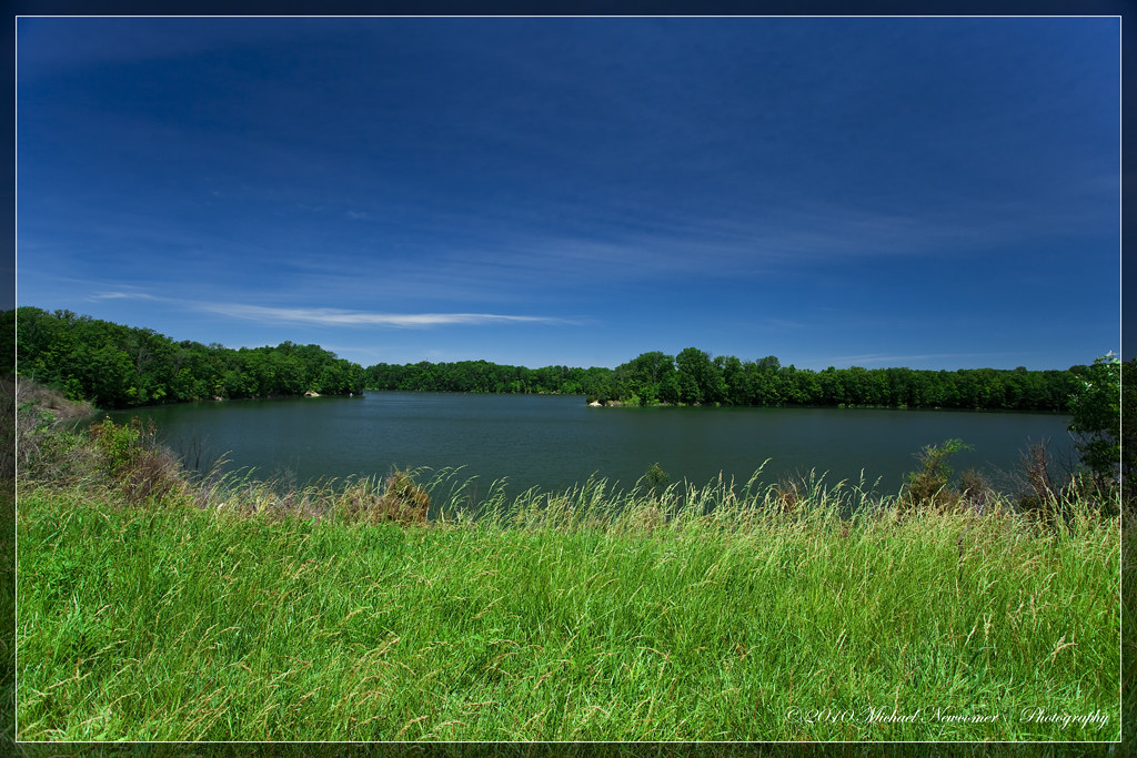
Caesar Creek Lake View

Caesar Creek Spillway View
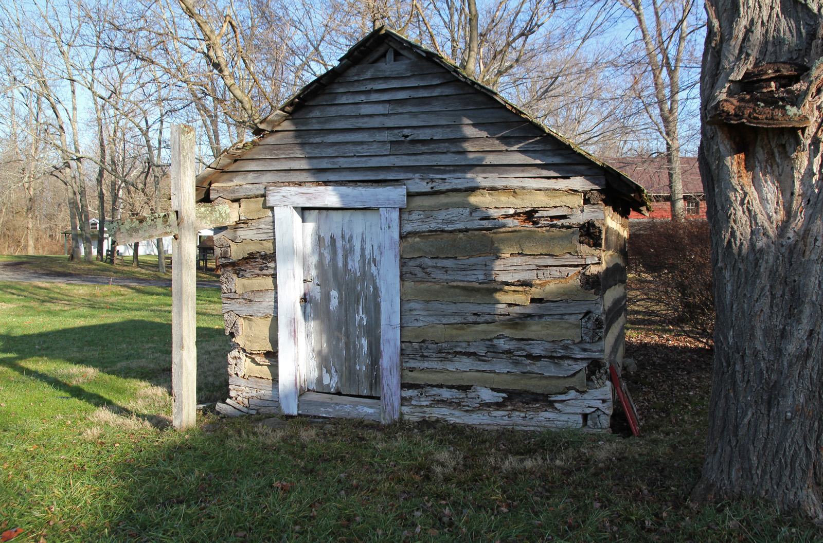
Elam Smokehouse — Caesar's Creek Pioneer Village, Harveysburg, OH
Path of Destruction

GREAT BLUE HERON

BLUE DASHER

MOUND ROAD MUDFLAT - DUCKS, SHOREBIRDS, & WADERS
Caesar Creek Lake View

OSPREYS off HAINES RD BOAT RAMP

Caesar Creek Spillway View

HorseShoe Falls

2011-07-03 at 06-03-37
2011-05-07 at 09-30-14

2011-05-07 at 08-44-00

2011-07-03 at 07-27-46
Nature Trail at Cox Arboretum

Grant Park

2011-07-03 at 06-27-50

Bumblebees in Business

Happy #Earth Day!

Quick trip to the Arboretum

Horseshoe Falls
Caesar's Creek Trail

Flash Experiment #2

Grant Park - Washington Twp, OH

... And Pursuer

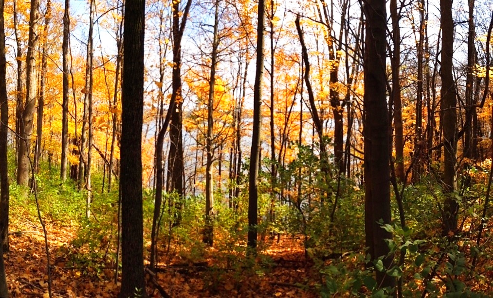
Fall in Yellow

Bridge Over Water

Xenia Sunset 2

Morning Grey

Forest sunset
Topographic Map of Sugarcreek Township, OH, USA
Find elevation by address:

Places near Sugarcreek Township, OH, USA:
2518 Vimark Ln
Bellbrook
1927 Shore Dr
154 Washington Mill Rd
3600 Middle Run Rd
2589 Oh-725
4179 Woodedge Dr
4289 Brewster's Run Ct
7600 John Elwood Dr
2329 Sieber Trace
4001 E Social Row Rd
4001 E Social Row Rd
4001 E Social Row Rd
5100 Chenoweth Rd
Mt Holly Rd, Waynesville, OH, USA
1937 Vista Oak Trail
1937 Vista Oak Trail
1413 Langdon Dr
1790 E Social Row Rd
St. Leonard Chi Living Communities
Recent Searches:
- Elevation of Corso Fratelli Cairoli, 35, Macerata MC, Italy
- Elevation of Tallevast Rd, Sarasota, FL, USA
- Elevation of 4th St E, Sonoma, CA, USA
- Elevation of Black Hollow Rd, Pennsdale, PA, USA
- Elevation of Oakland Ave, Williamsport, PA, USA
- Elevation of Pedrógão Grande, Portugal
- Elevation of Klee Dr, Martinsburg, WV, USA
- Elevation of Via Roma, Pieranica CR, Italy
- Elevation of Tavkvetili Mountain, Georgia
- Elevation of Hartfords Bluff Cir, Mt Pleasant, SC, USA