Elevation of Wayne Township, OH, USA
Location: United States > Ohio > Warren County >
Longitude: -84.080161
Latitude: 39.5219903
Elevation: 242m / 794feet
Barometric Pressure: 98KPa
Elevation Map:
Satellite Map:
Related Photos:

VIRGINIA RAIL

Parachute deployment

VIRGINIA RAIL with PREY
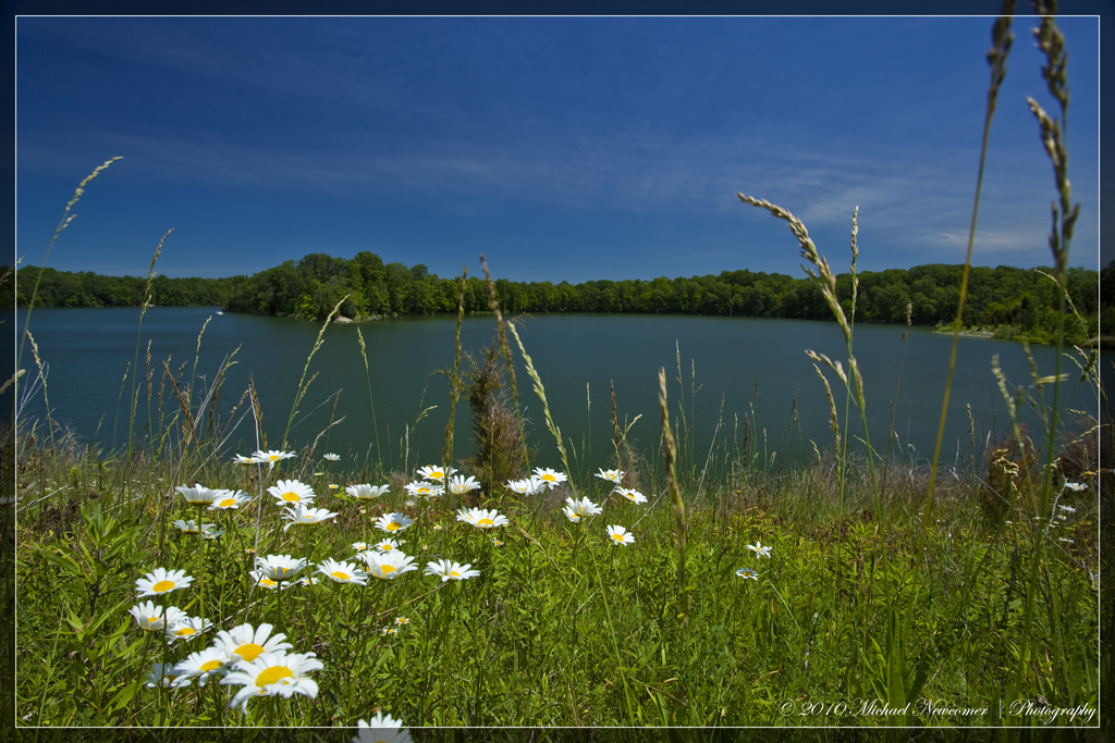
Caesar Creek Lake View
Caesar Creek Lake View
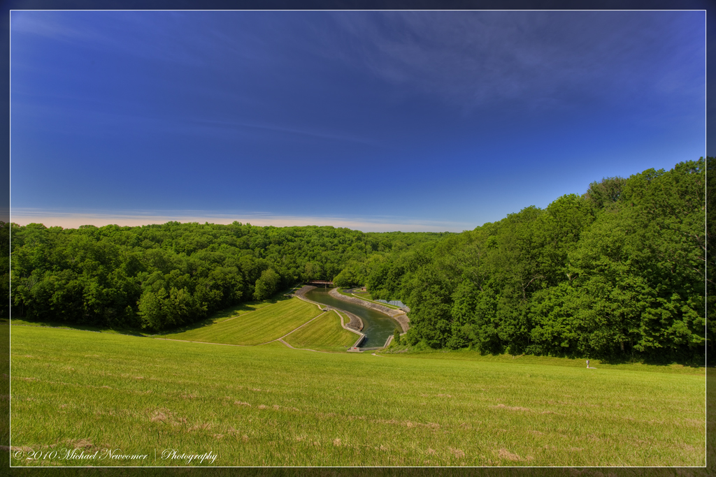
Caesar Creek Spillway View

LOOKING FOR A CALIFORNIA -- LARGER GULLS OFF HARVEYSBURG RD on MARCH 26th
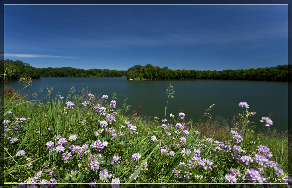
Caesar Creek Lake View
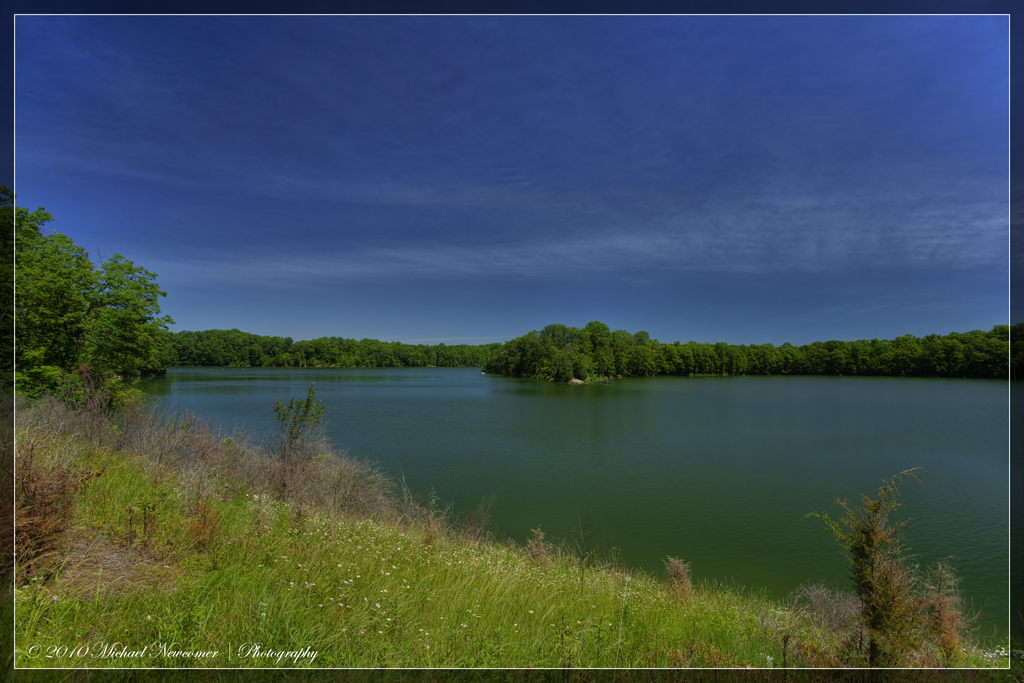
Caesar Creek Lake View
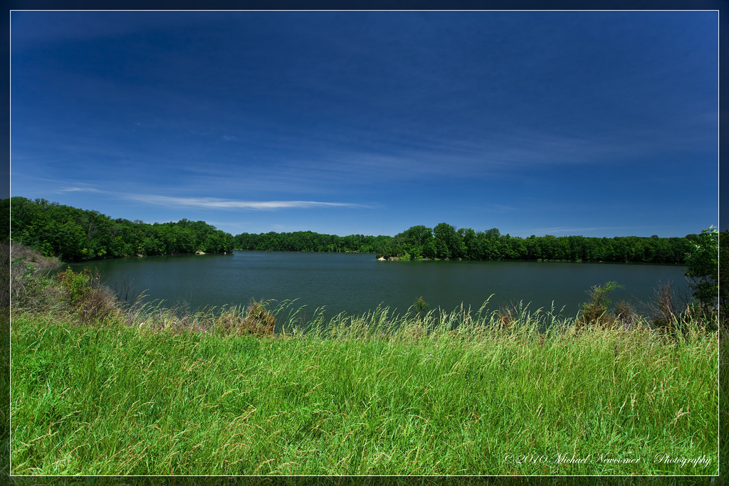
Caesar Creek Lake View

Caesar Creek Spillway View
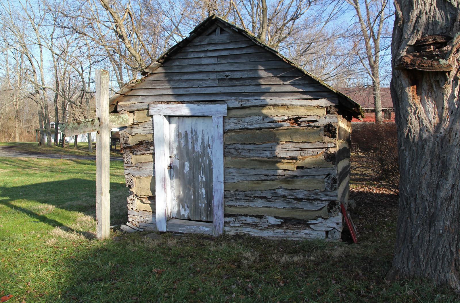
Elam Smokehouse — Caesar's Creek Pioneer Village, Harveysburg, OH

GREAT BLUE HERON

MOUND ROAD MUDFLAT - DUCKS, SHOREBIRDS, & WADERS
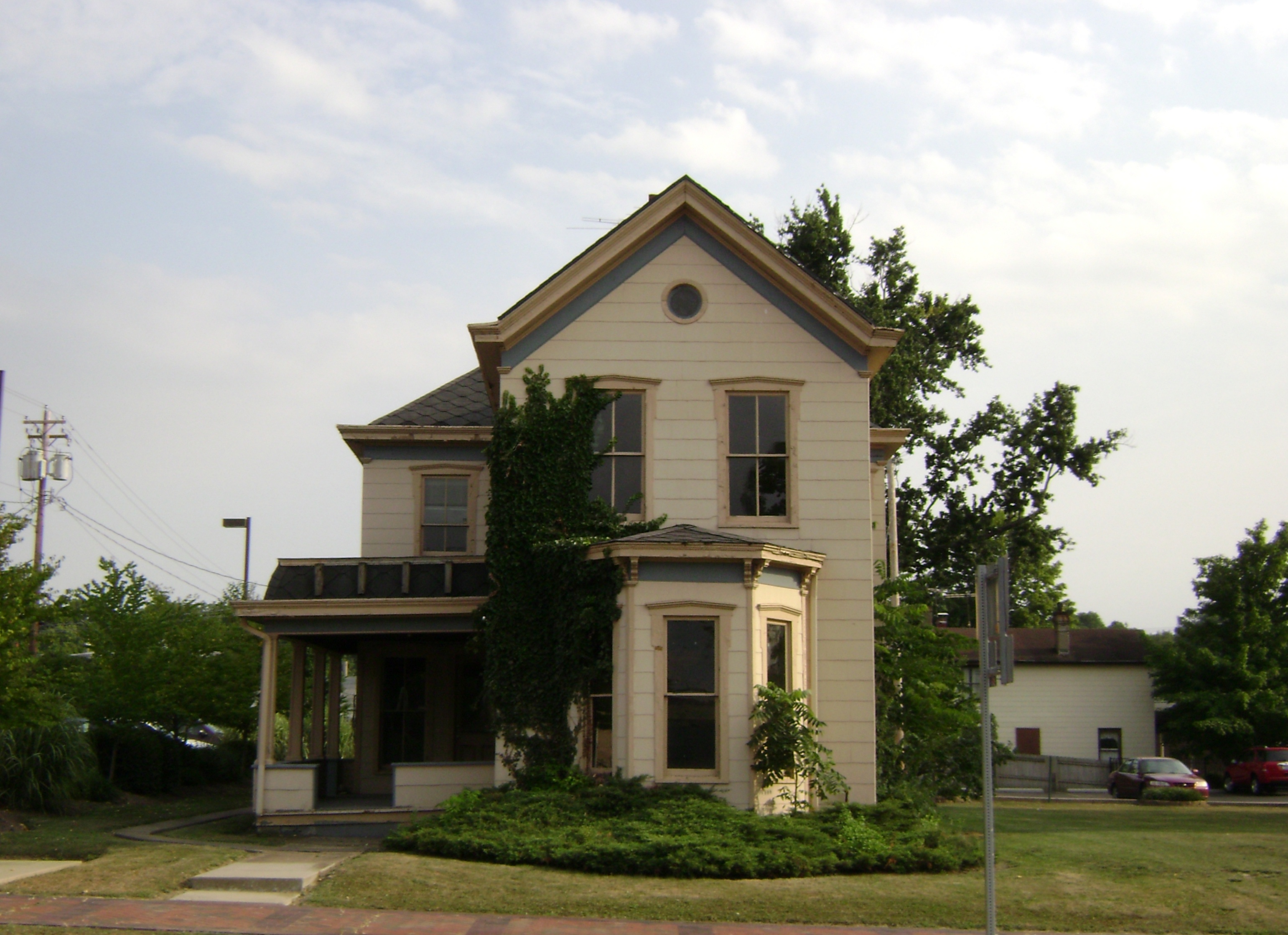
Lebanon, Ohio
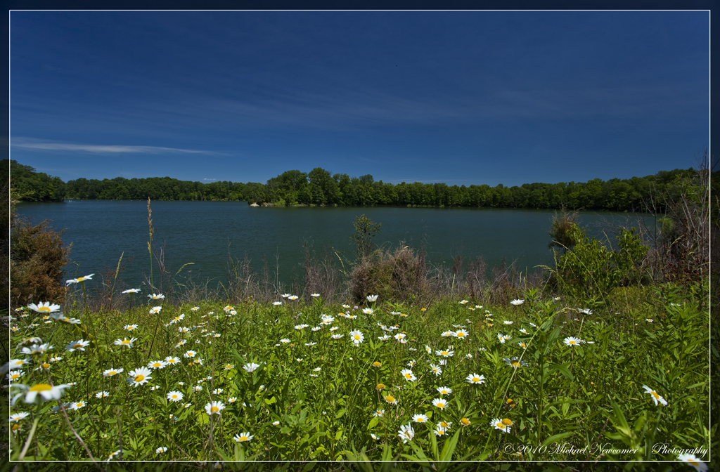
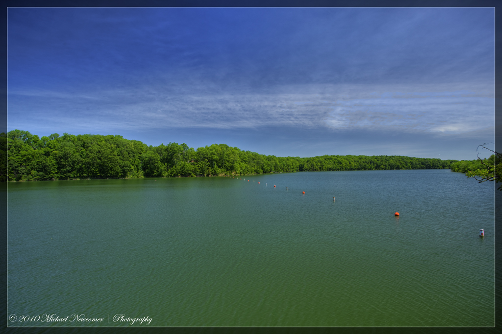
Caesar Creek Lake View

BLUE DASHER
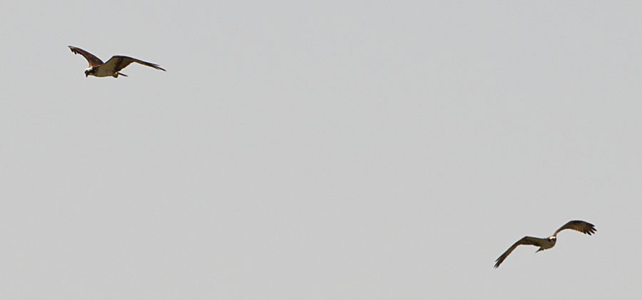
OSPREYS off HAINES RD BOAT RAMP

Caesar Creek Spillway View

GULLS OFF HARVEYSBURG ROAD at CAESAR CREEK STATE PARK

GREAT BLUE HERON

HorseShoe Falls

2011-07-03 at 06-03-37
2011-05-07 at 09-30-14

Sunrise in the Fog

2011-05-07 at 08-44-00

2011-07-03 at 07-27-46

2011-07-03 at 06-27-50

Happy #Earth Day!

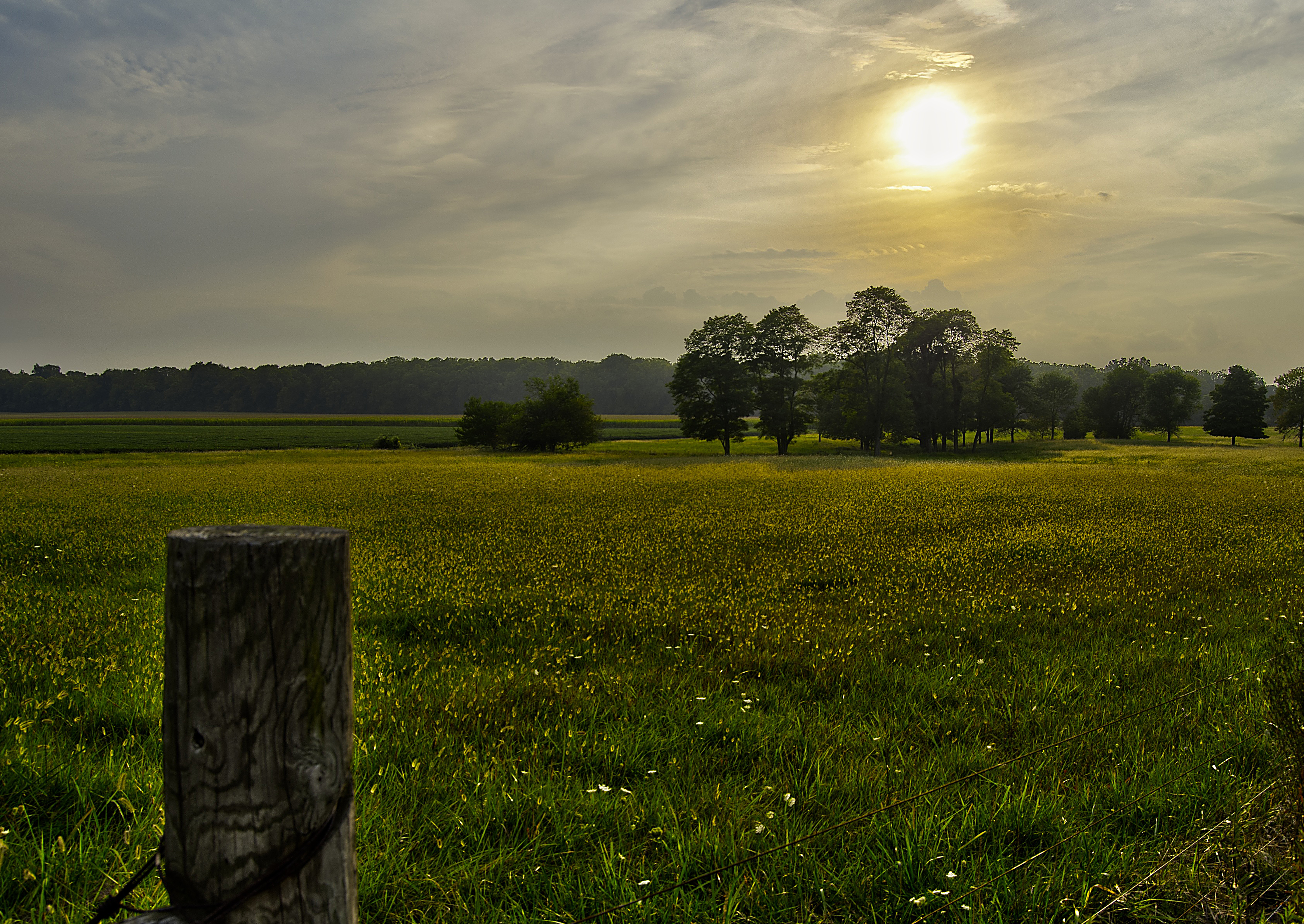
Pic doesn't quite catch how pretty tonight's sunset was...
Caterpillar grass

Horseshoe Falls
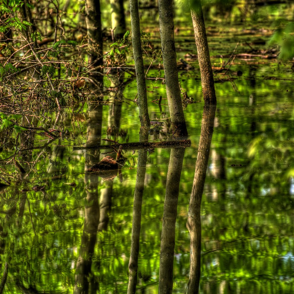
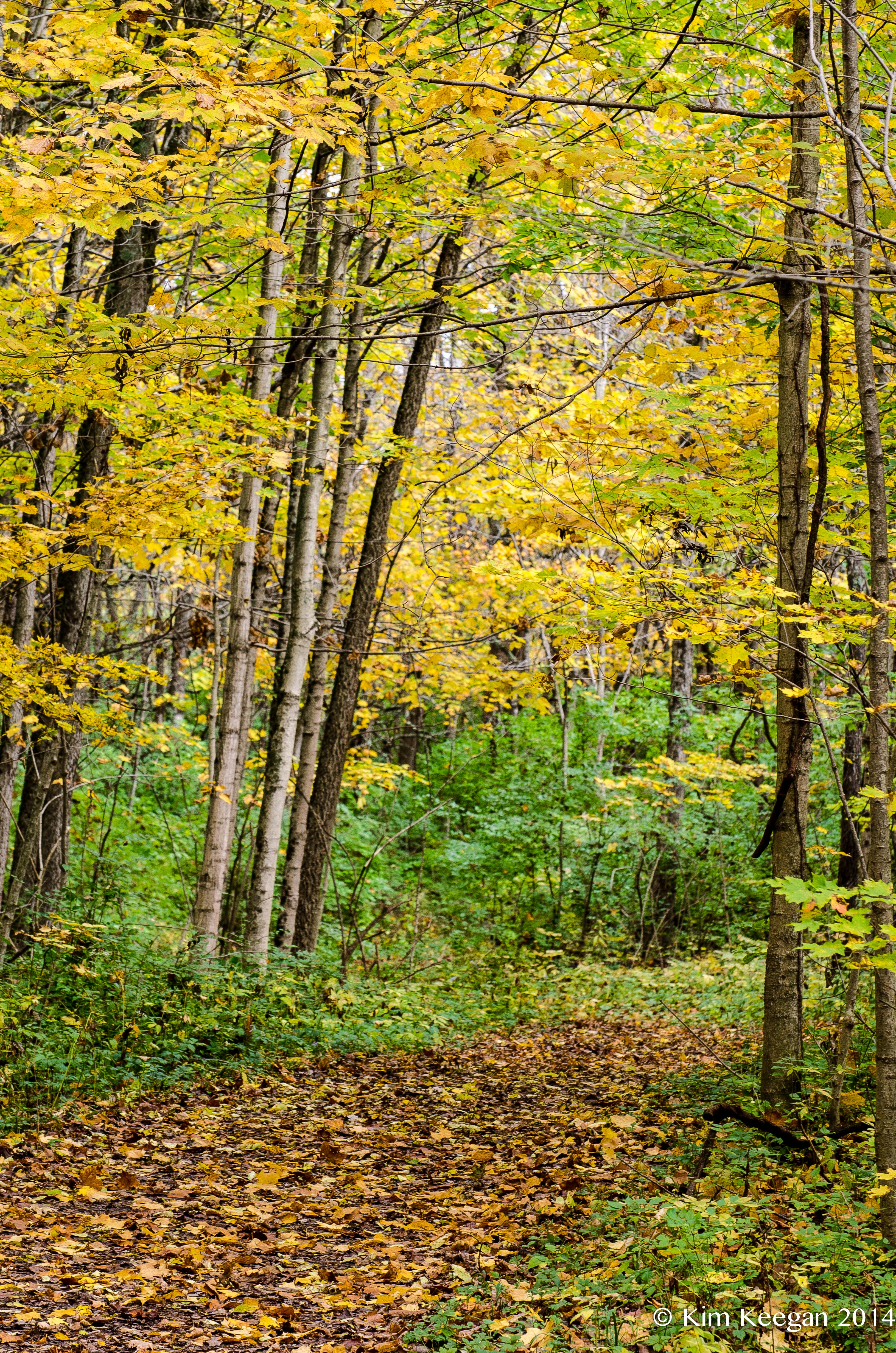
Caesar's Creek Trail

There They Are!

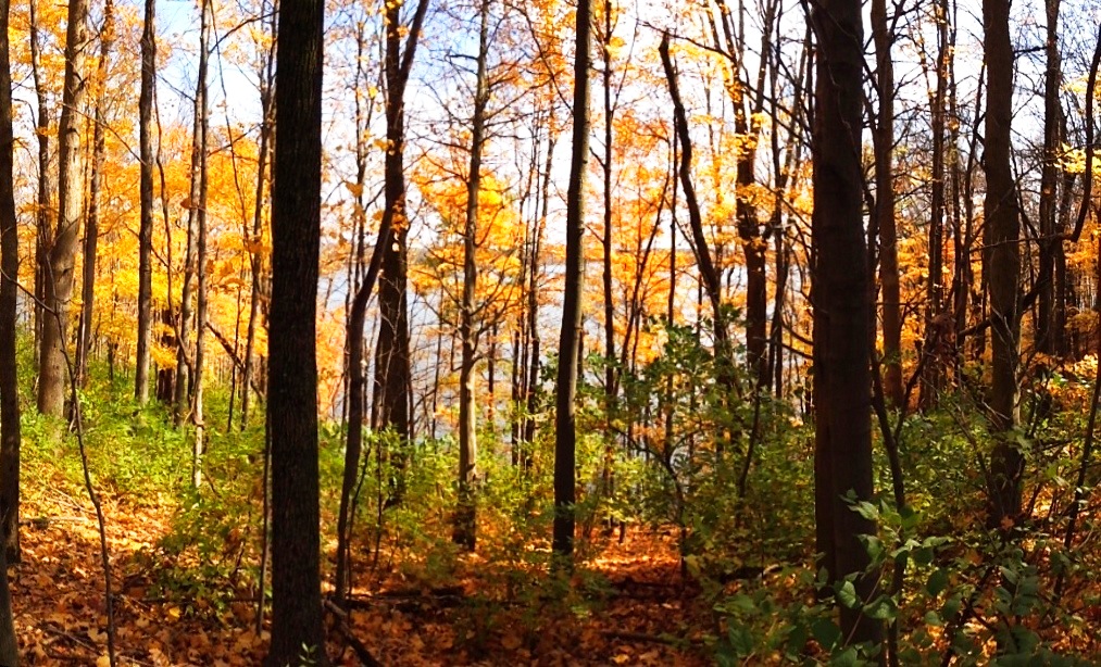
Forest sunset
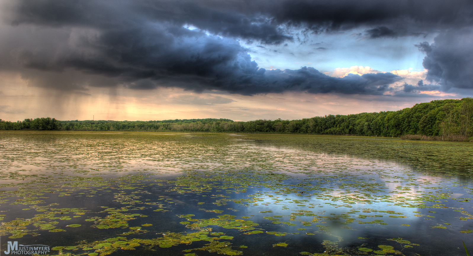
Stormy Marsh
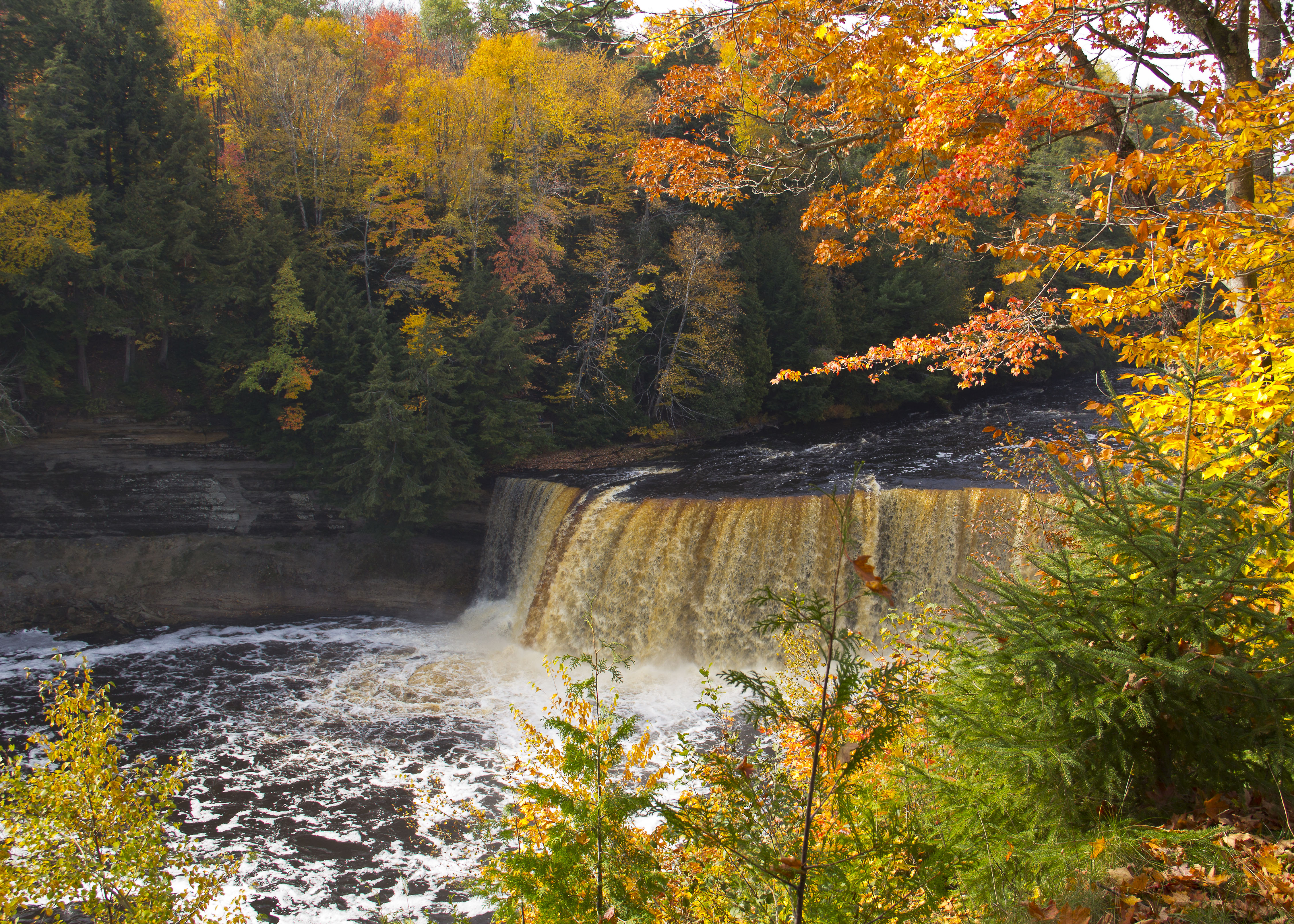
Upper Tahquamenon Falls

Great Blue Heron

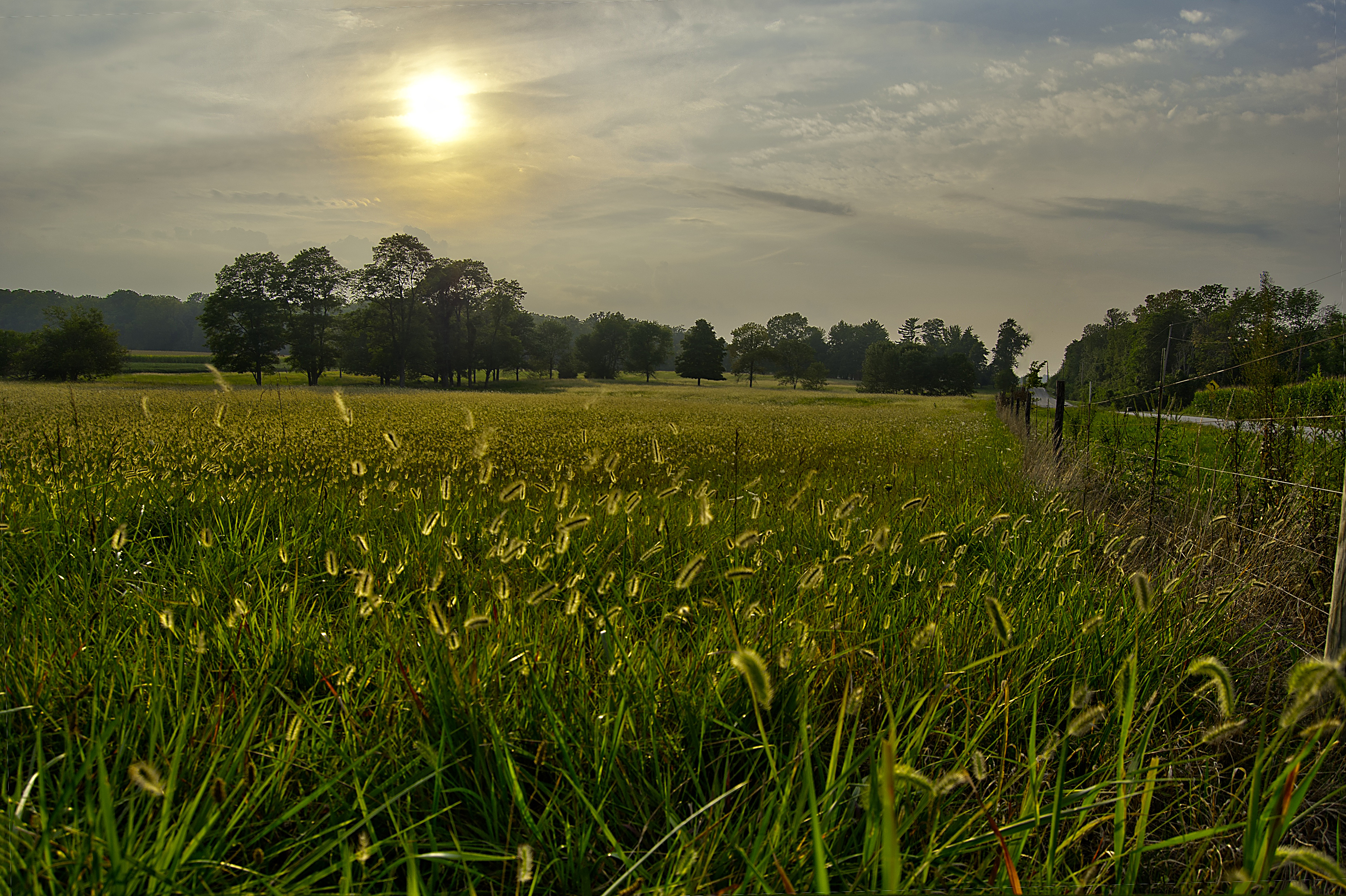
Grass Blowing in the Wind
Orange Trail - Color Zones
A sullen sun

Eastern Wood Pewee
Topographic Map of Wayne Township, OH, USA
Find elevation by address:

Places in Wayne Township, OH, USA:
Places near Wayne Township, OH, USA:
Waynesville
465 Old Stage Rd
923 Camp Creek Rd
Massie Township
3770 Us-42
2211 Jeffery Rd
Hollingsworth Road
The Little River Café
5509 Emmons Rd
4554 Oregonia Rd
Olive Branch Road
Corwin Rd, Oregonia, OH, USA
3266 Oregonia Rd
3120 Oregonia Rd
421 N Waynesville Rd
4306 Wilmington Rd
40 Turner Dr, Lebanon, OH, USA
Michael B. Dulan, Md
Clear Creek Township
Washington Township
Recent Searches:
- Elevation of Tenjo, Cundinamarca, Colombia
- Elevation of Côte-des-Neiges, Montreal, QC H4A 3J6, Canada
- Elevation of Bobcat Dr, Helena, MT, USA
- Elevation of Zu den Ihlowbergen, Althüttendorf, Germany
- Elevation of Badaber, Peshawar, Khyber Pakhtunkhwa, Pakistan
- Elevation of SE Heron Loop, Lincoln City, OR, USA
- Elevation of Slanický ostrov, 01 Námestovo, Slovakia
- Elevation of Spaceport America, Co Rd A, Truth or Consequences, NM, USA
- Elevation of Warwick, RI, USA
- Elevation of Fern Rd, Whitmore, CA, USA