Elevation of Mousie, KY, USA
Location: United States > Kentucky > Knott County >
Longitude: -82.877901
Latitude: 37.418563
Elevation: 238m / 781feet
Barometric Pressure: 98KPa
Elevation Map:
Satellite Map:
Related Photos:
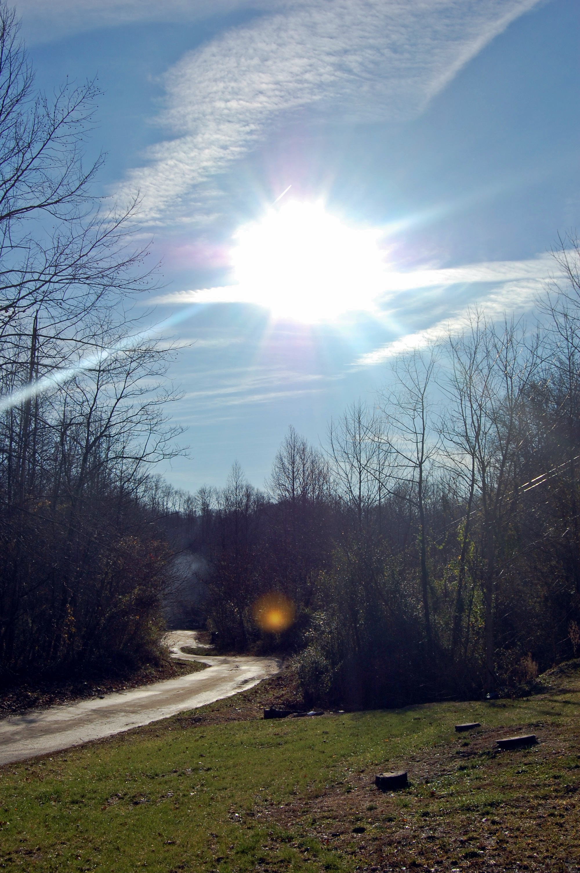
kentucky.

Hindman, Kentucky United Methodist Women Opening Umbrellas to intercept human traffickers.
Topographic Map of Mousie, KY, USA
Find elevation by address:

Places in Mousie, KY, USA:
Places near Mousie, KY, USA:
KY-, Mousie, KY, USA
435 Martin Branch Rd
KY-, Mousie, KY, USA
Pippa Passes
Spruce Pine Rd, Pippa Passes, KY, USA
Topmost
338 Potato Branch Rd
587 Possum Trot Rd
Leburn
E Main St, Leburn, KY, USA
KY-7, Kite, KY, USA
245 Butcher Knife Hollow Rd
Kite
KY-, Hindman, KY, USA
KY-, Hi Hat, KY, USA
KY-, Hi Hat, KY, USA
KY-, Pine Top, KY, USA
Pine Top
KY-, Bevinsville, KY, USA
KY-, Pine Top, KY, USA
Recent Searches:
- Elevation of 64 Danakas Dr, Winnipeg, MB R2C 5N7, Canada
- Elevation of 4 Vale Rd, Sheffield S3 9QX, UK
- Elevation of Keene Point Drive, Keene Point Dr, Grant, AL, USA
- Elevation of State St, Zanesville, OH, USA
- Elevation of Austin Stone Dr, Haslet, TX, USA
- Elevation of Bydgoszcz, Poland
- Elevation of Bydgoszcz, Poland
- Elevation of Calais Dr, Del Mar, CA, USA
- Elevation of Placer Mine Ln, West Jordan, UT, USA
- Elevation of E 63rd St, New York, NY, USA