Elevation of Mountain Home Air Force Base, Mountain Home AFB, ID, USA
Location: United States > Idaho > Elmore County >
Longitude: -115.86197
Latitude: 43.0444129
Elevation: 912m / 2992feet
Barometric Pressure: 91KPa
Elevation Map:
Satellite Map:
Related Photos:

Our View on Sundays
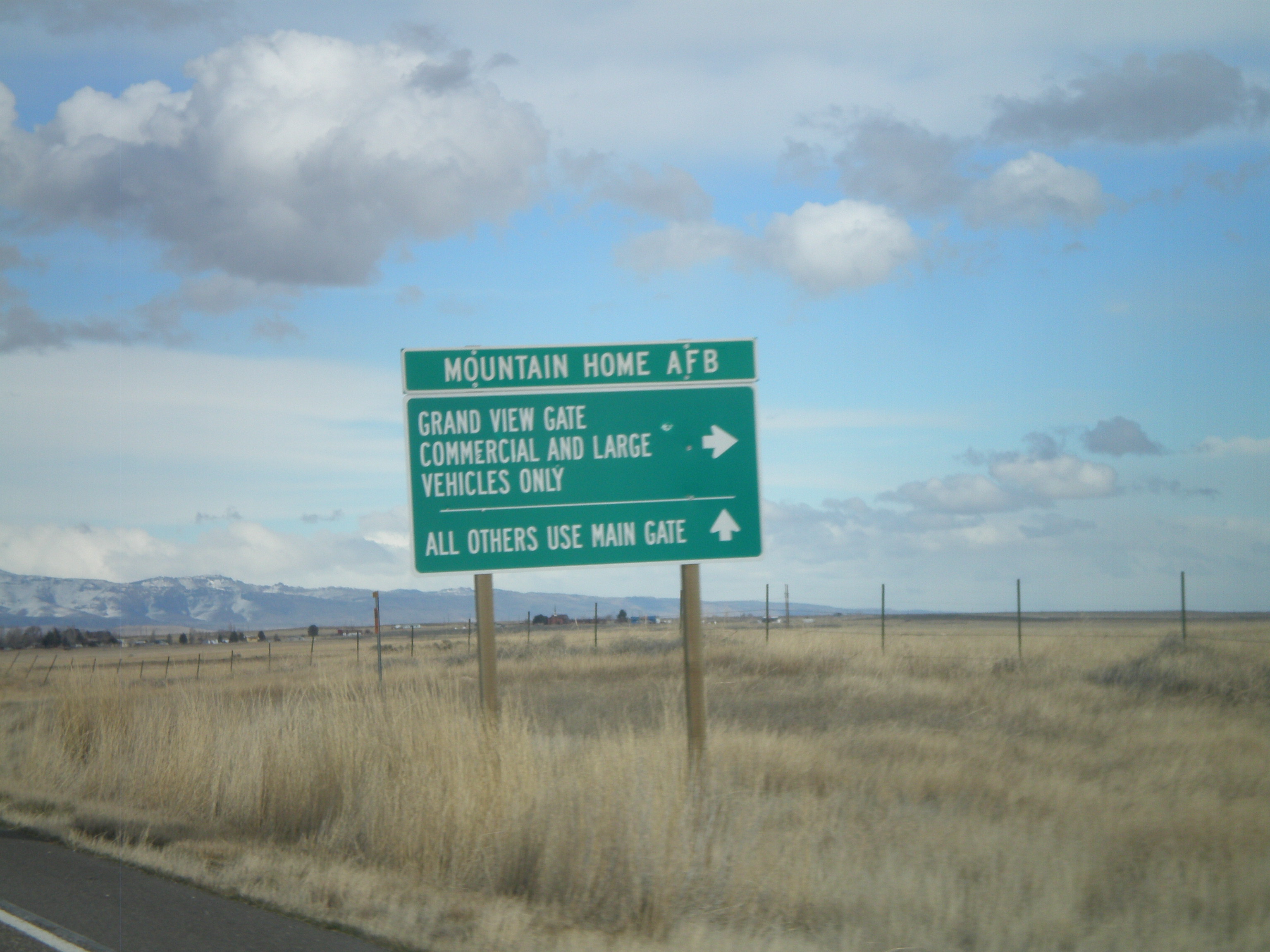
ID-167 East at Mountain Home AFB Grand View Gate

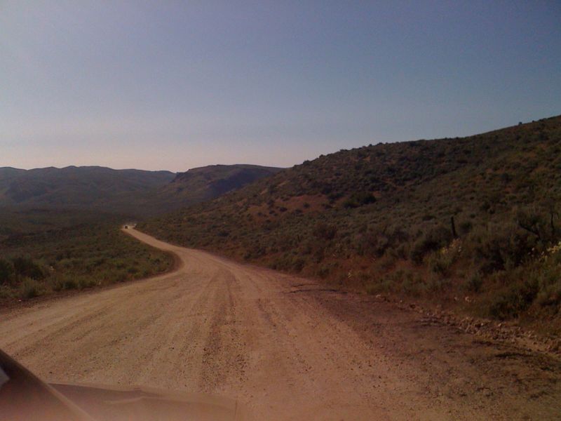
Dryer View
Exploration!

Dryer View

Grey horizon

In between

Mental machinery

Dryer View

Dryer View
Bruneau ID 0679a
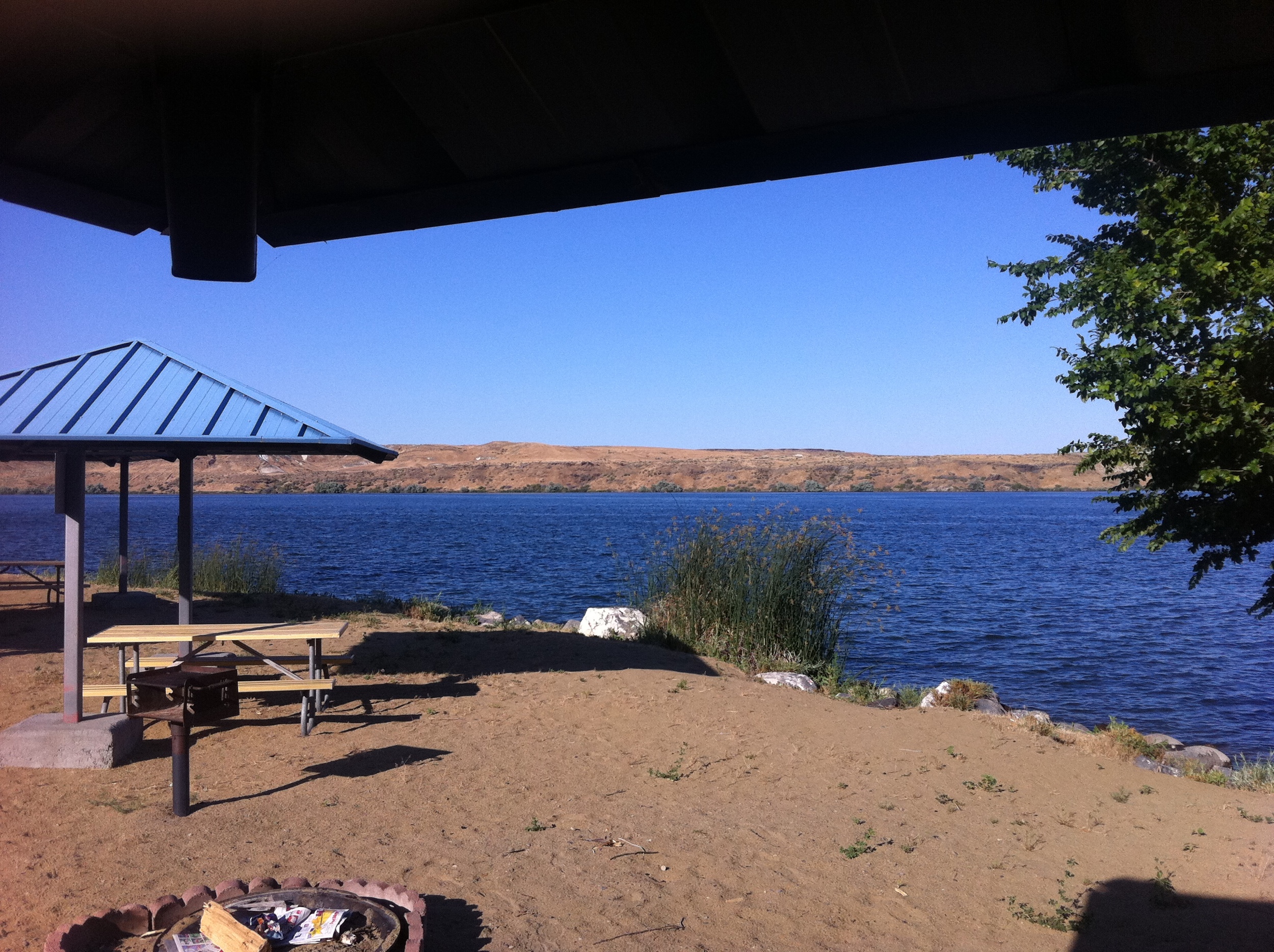
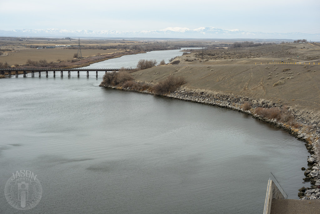
cj strike - July 2011
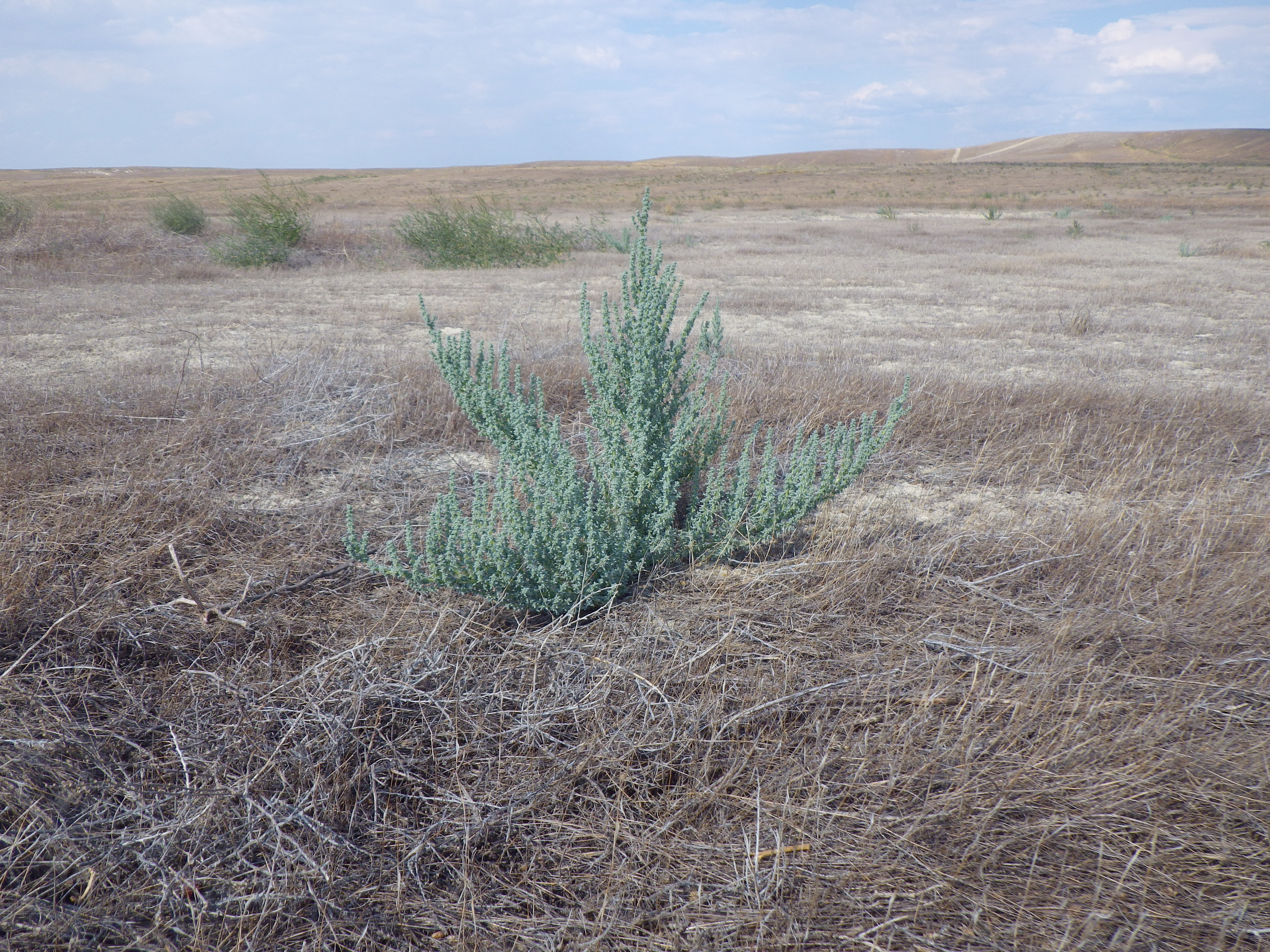
former sagebrush steppe south of CJ Strike
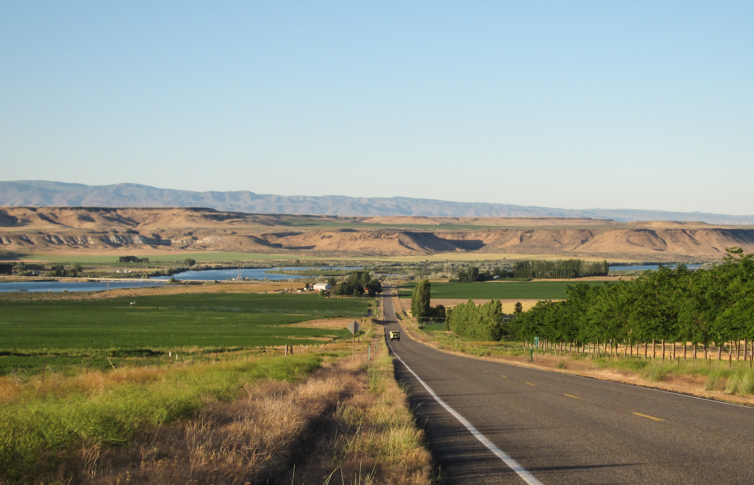
Snake River Plain
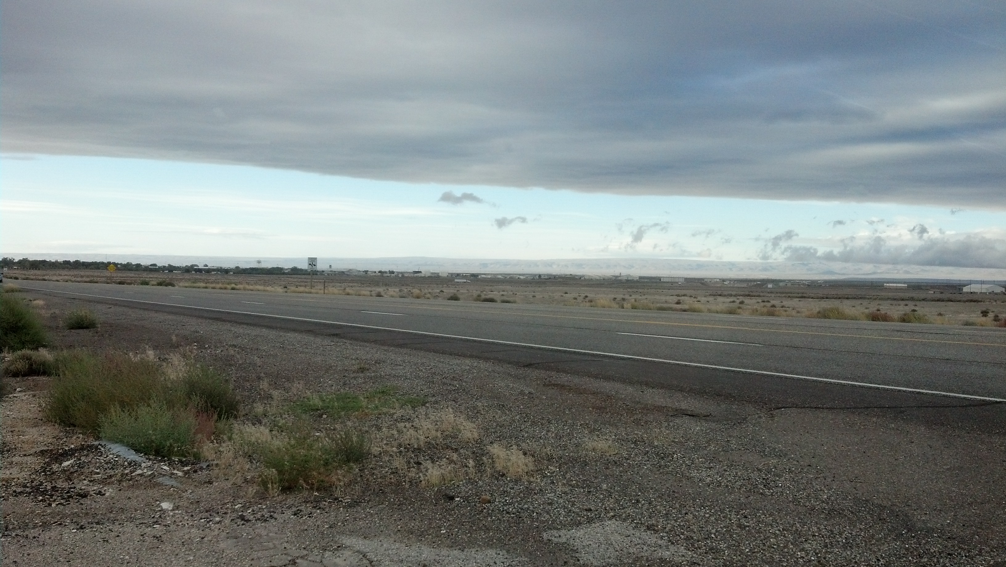
More of the high desert in Mountain Home

cj strike - July 2011

cj strike - July 2011
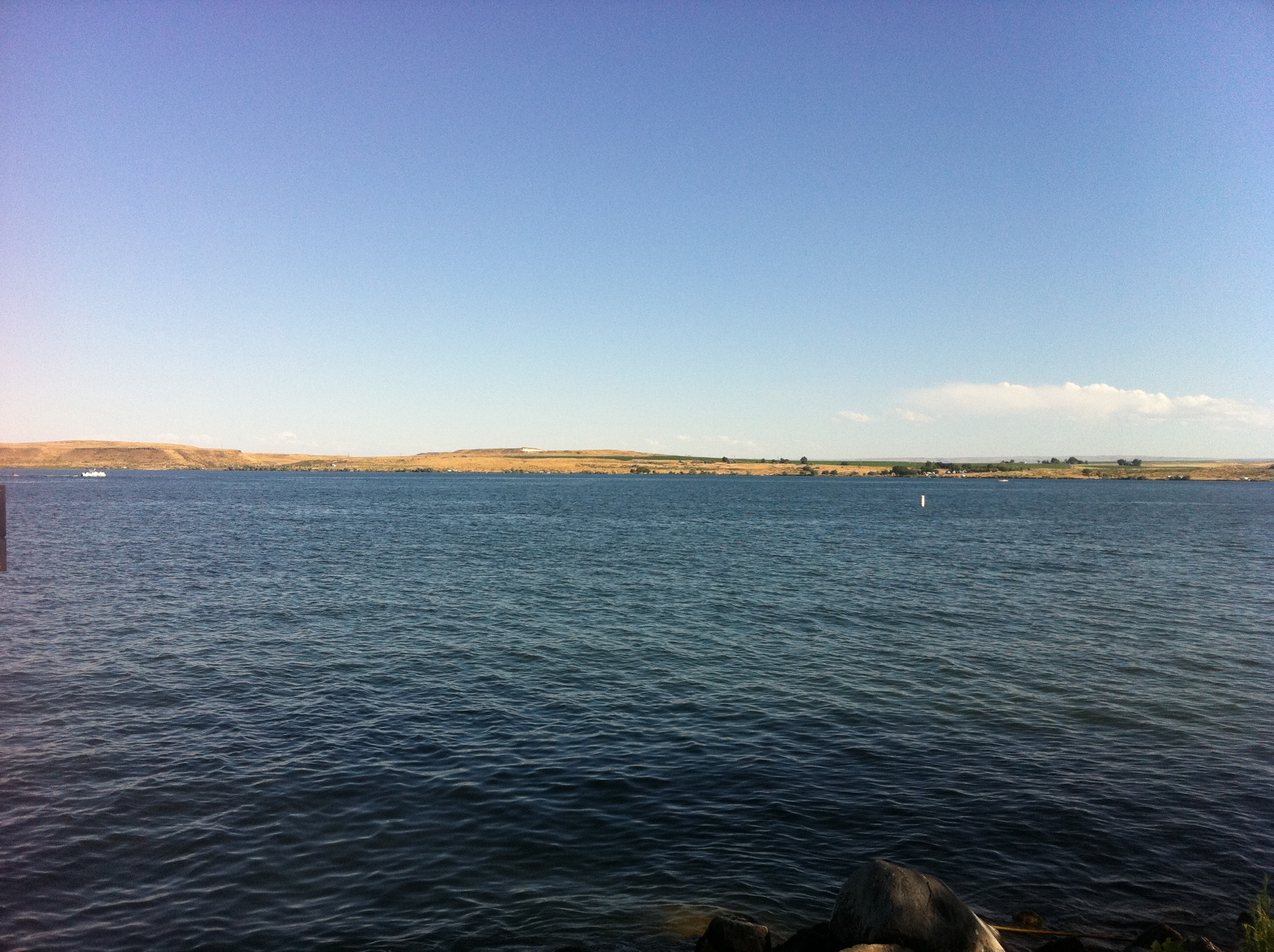
cj strike - July 2011

cj strike - July 2011

cj strike - July 2011
Topographic Map of Mountain Home Air Force Base, Mountain Home AFB, ID, USA
Find elevation by address:

Places near Mountain Home Air Force Base, Mountain Home AFB, ID, USA:
745 Gunfighter Ave
5040 Id-51
1036 Id-51
1036 Id-51
1036 Id-51
Bruneau
675 W 6th S
Mountain Home
31013 Id-51
1050 Us-20
Pilot Travel Center
Old U.S. 30, Mountain Home, ID, USA
Indian Cove
17750 Ne Dyllan Ln
S Orchard Access Rd, Boise, ID, USA
Elmore County
National Forest Development Road 167
562 E Mikes Pl
999 Slater Flat Rd
Hammett
Recent Searches:
- Elevation of Corso Fratelli Cairoli, 35, Macerata MC, Italy
- Elevation of Tallevast Rd, Sarasota, FL, USA
- Elevation of 4th St E, Sonoma, CA, USA
- Elevation of Black Hollow Rd, Pennsdale, PA, USA
- Elevation of Oakland Ave, Williamsport, PA, USA
- Elevation of Pedrógão Grande, Portugal
- Elevation of Klee Dr, Martinsburg, WV, USA
- Elevation of Via Roma, Pieranica CR, Italy
- Elevation of Tavkvetili Mountain, Georgia
- Elevation of Hartfords Bluff Cir, Mt Pleasant, SC, USA