Elevation of National Forest Development Road, NF-, Idaho, USA
Location: United States > Idaho > Elmore County > Mountain Home >
Longitude: -115.71970
Latitude: 43.3580575
Elevation: 1429m / 4688feet
Barometric Pressure: 85KPa
Elevation Map:
Satellite Map:
Related Photos:

nice view

Prairie ahead

Pierce ahead

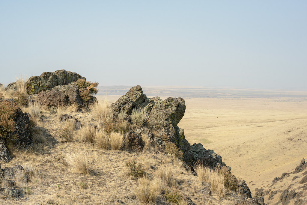
Cliff’s edge
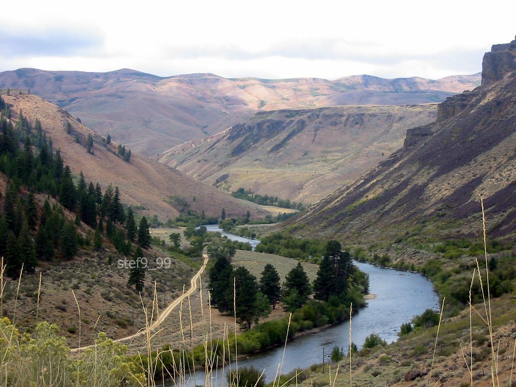
Boise River

Along Big Horse Creek

South Fork meander
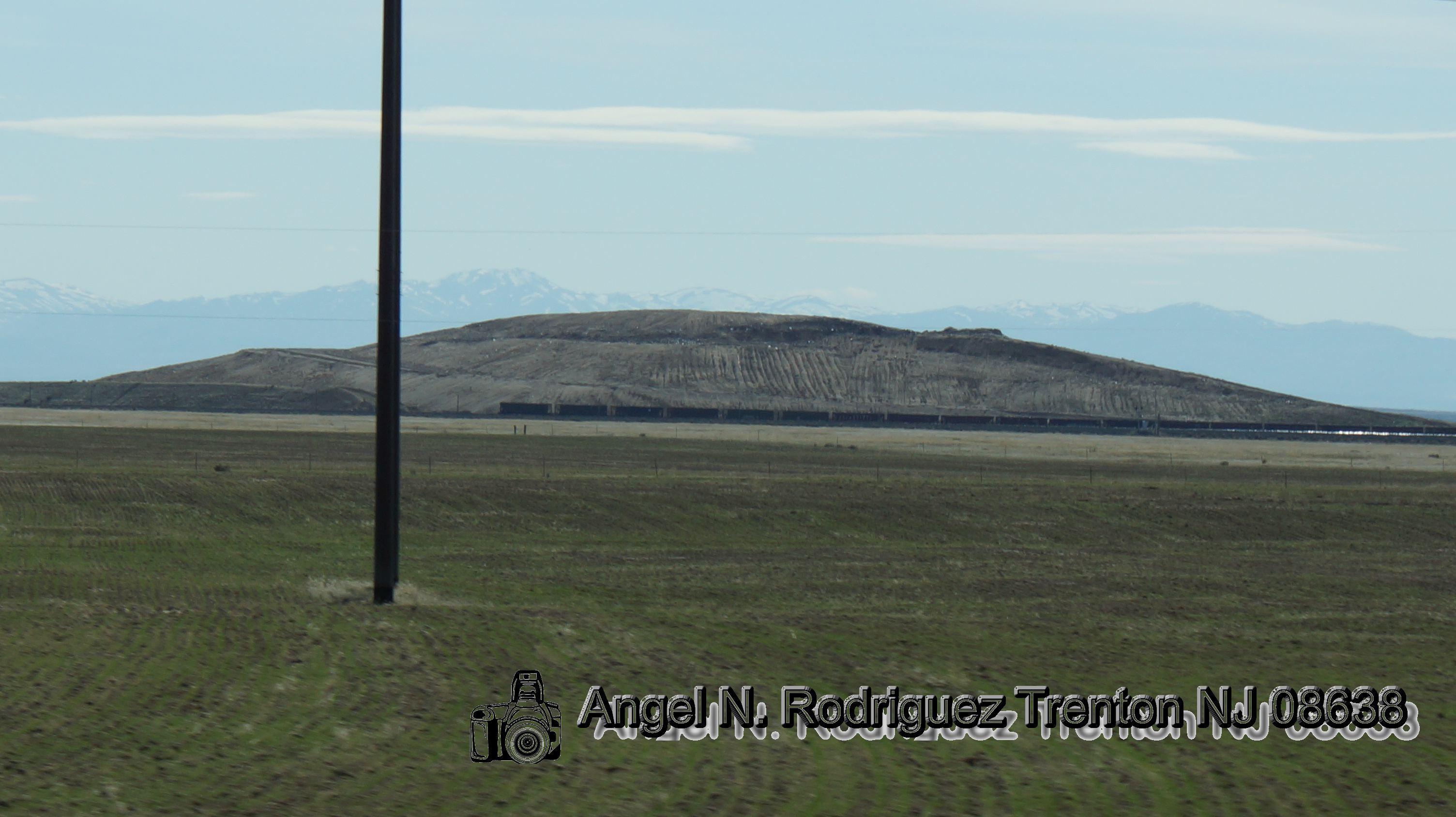
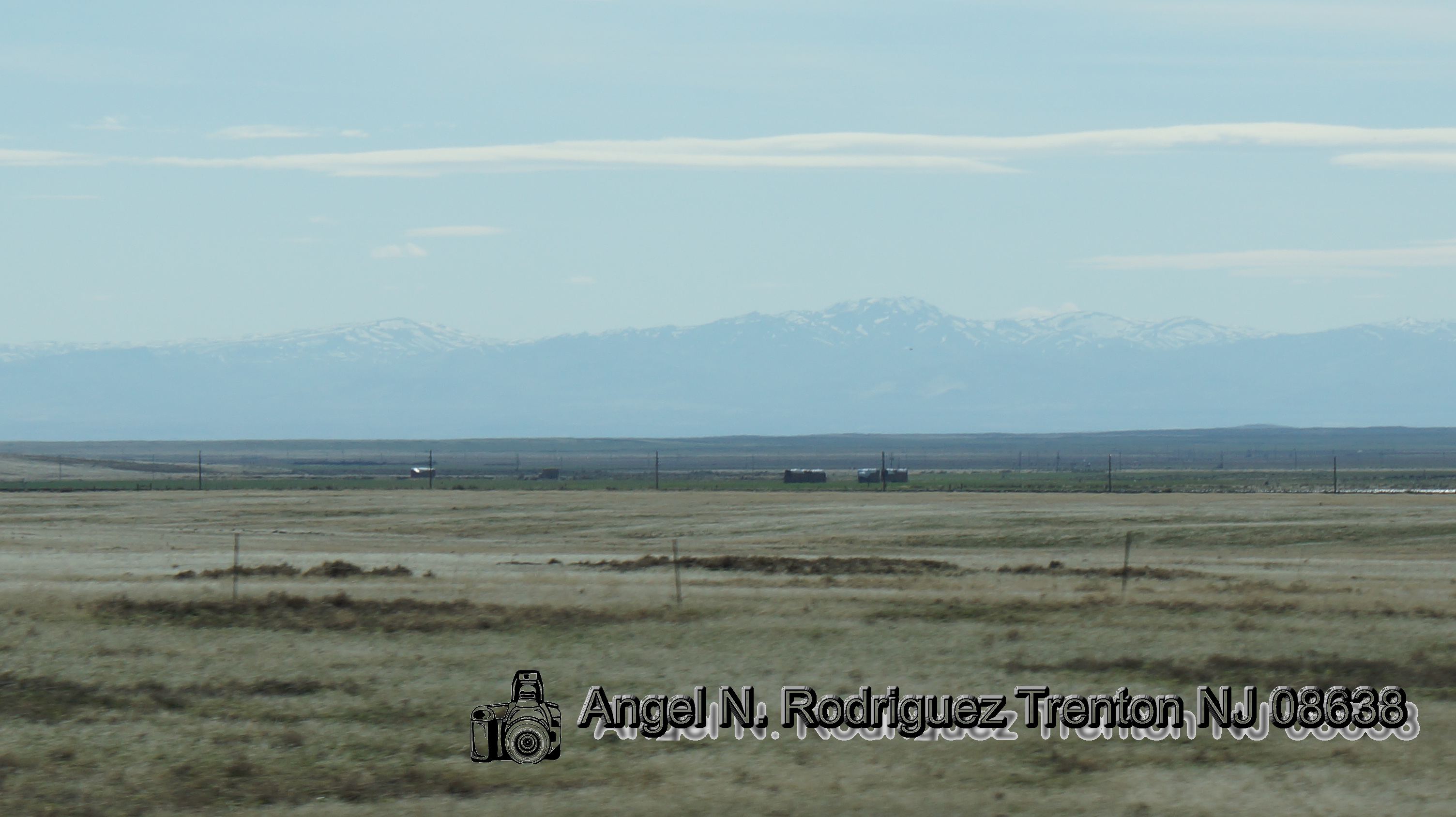
Snake River Plain from Immigrant Road

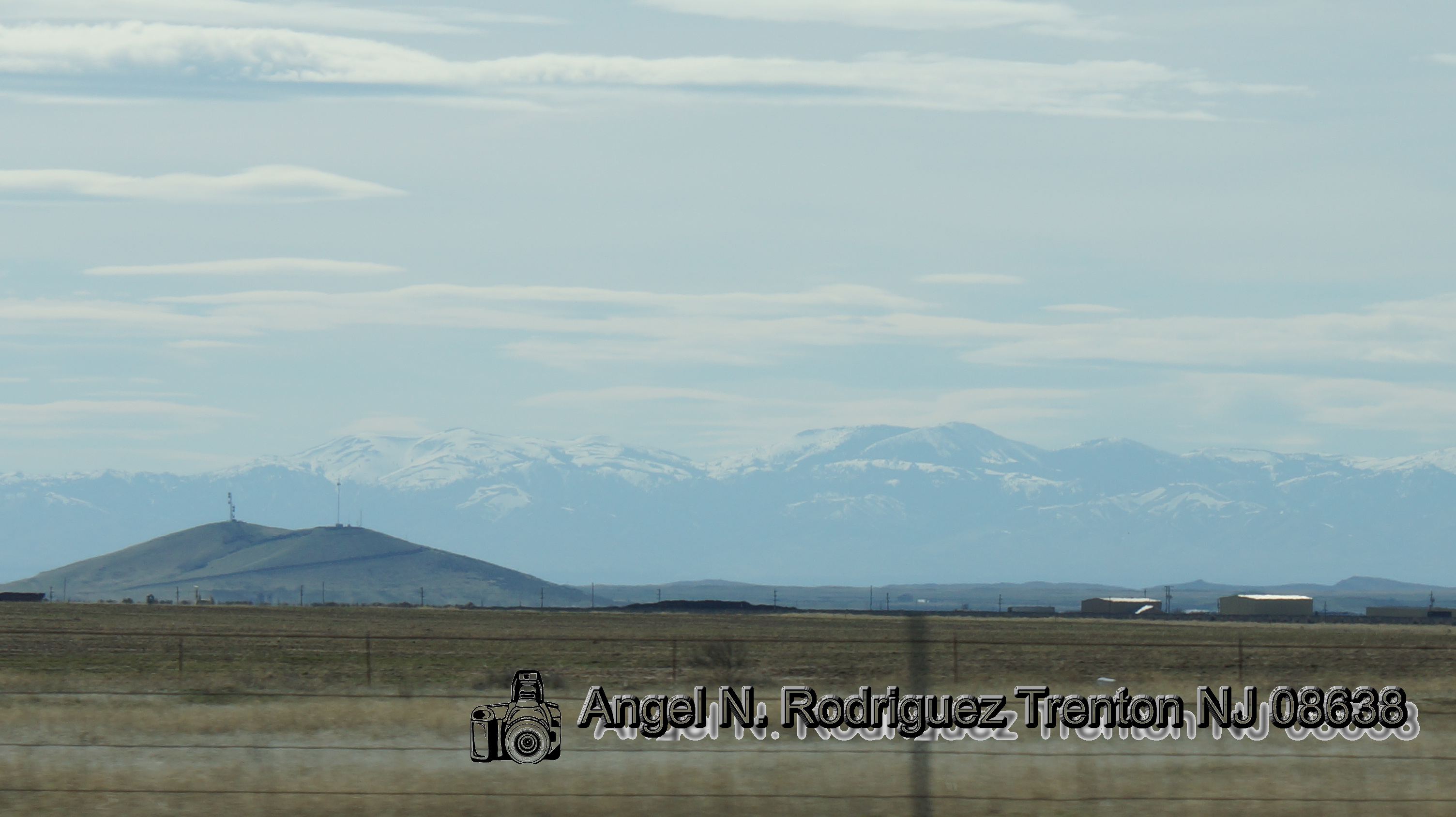
On the flat

Little Fiddler Peak
Illinois, Iowa, Nebreaska
Illinois, Iowa, Nebreaska
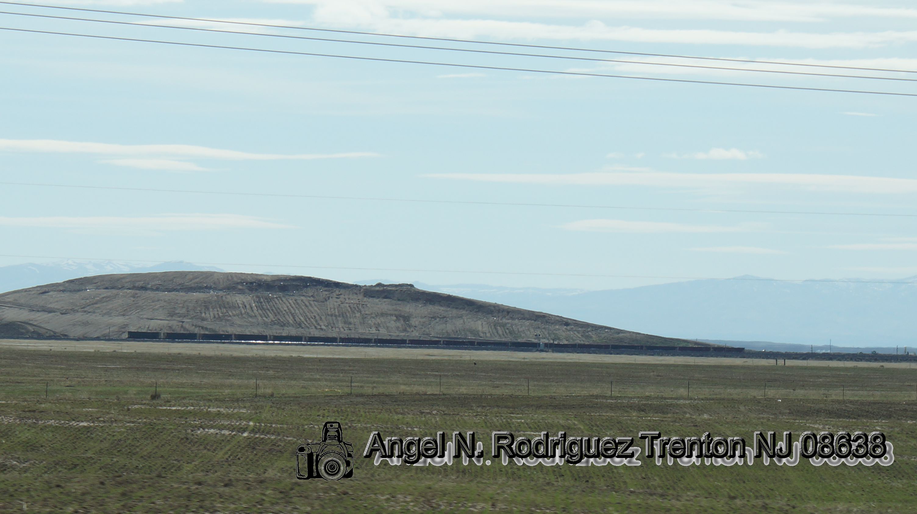
Illinois, Iowa, Nebreaska
Illinois, Iowa, Nebreaska

Waterfall? Nope.

Desert meadow

Hidden falls

Trail to nowhere

Last hurrah

Bed of needles
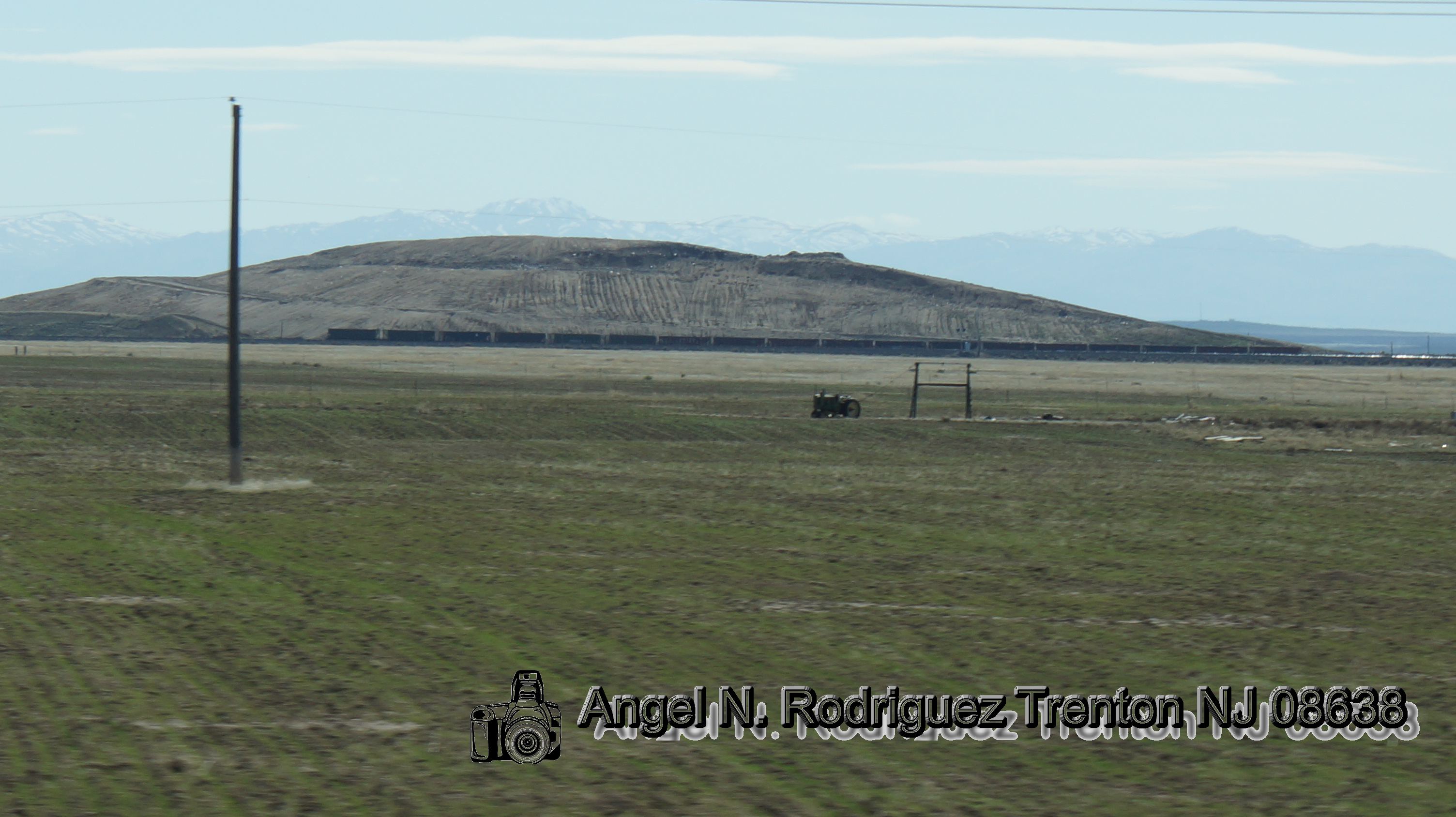
Illinois, Iowa, Nebreaska
Topographic Map of National Forest Development Road, NF-, Idaho, USA
Find elevation by address:

Places near National Forest Development Road, NF-, Idaho, USA:
17750 Ne Dyllan Ln
Tipanuk
855 Long Gulch Rd
1439 Long Gulch Rd
1439 Long Gulch Rd
Prairie
Smith Creek Rd, Mountain Home, ID, USA
999 Slater Flat Rd
Pilot Travel Center
1050 Us-20
Mountain Home
675 W 6th S
1036 Id-51
1036 Id-51
1036 Id-51
562 E Mikes Pl
NE South Fork Rd, Mountain Home, ID, USA
5040 Id-51
S Orchard Access Rd, Boise, ID, USA
Elmore County
Recent Searches:
- Elevation of Groblershoop, South Africa
- Elevation of Power Generation Enterprises | Industrial Diesel Generators, Oak Ave, Canyon Country, CA, USA
- Elevation of Chesaw Rd, Oroville, WA, USA
- Elevation of N, Mt Pleasant, UT, USA
- Elevation of 6 Rue Jules Ferry, Beausoleil, France
- Elevation of Sattva Horizon, 4JC6+G9P, Vinayak Nagar, Kattigenahalli, Bengaluru, Karnataka, India
- Elevation of Great Brook Sports, Gold Star Hwy, Groton, CT, USA
- Elevation of 10 Mountain Laurels Dr, Nashua, NH, USA
- Elevation of 16 Gilboa Ln, Nashua, NH, USA
- Elevation of Laurel Rd, Townsend, TN, USA