Elevation of Gunfighter Ave, Mountain Home AFB, ID, USA
Location: United States > Idaho > Elmore County > Mountain Home Air Force Base >
Longitude: -115.85603
Latitude: 43.0556996
Elevation: 914m / 2999feet
Barometric Pressure: 91KPa
Elevation Map:
Satellite Map:
Related Photos:
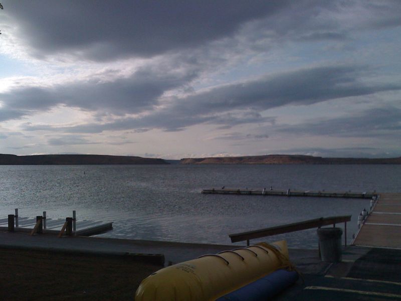
Our View on Sundays

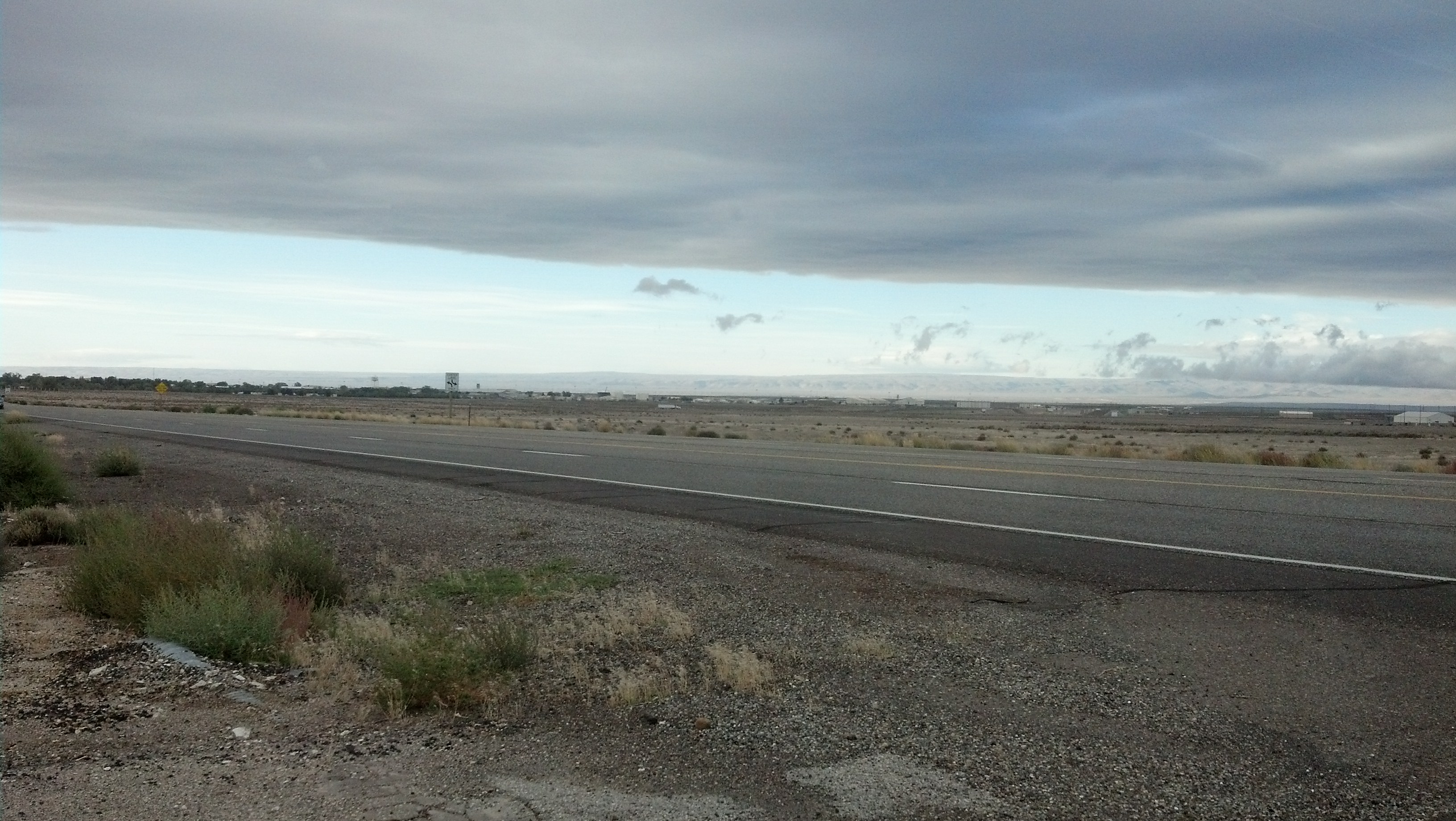
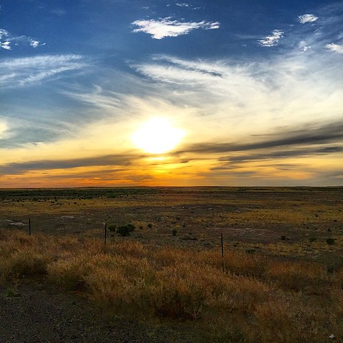
Grey horizon
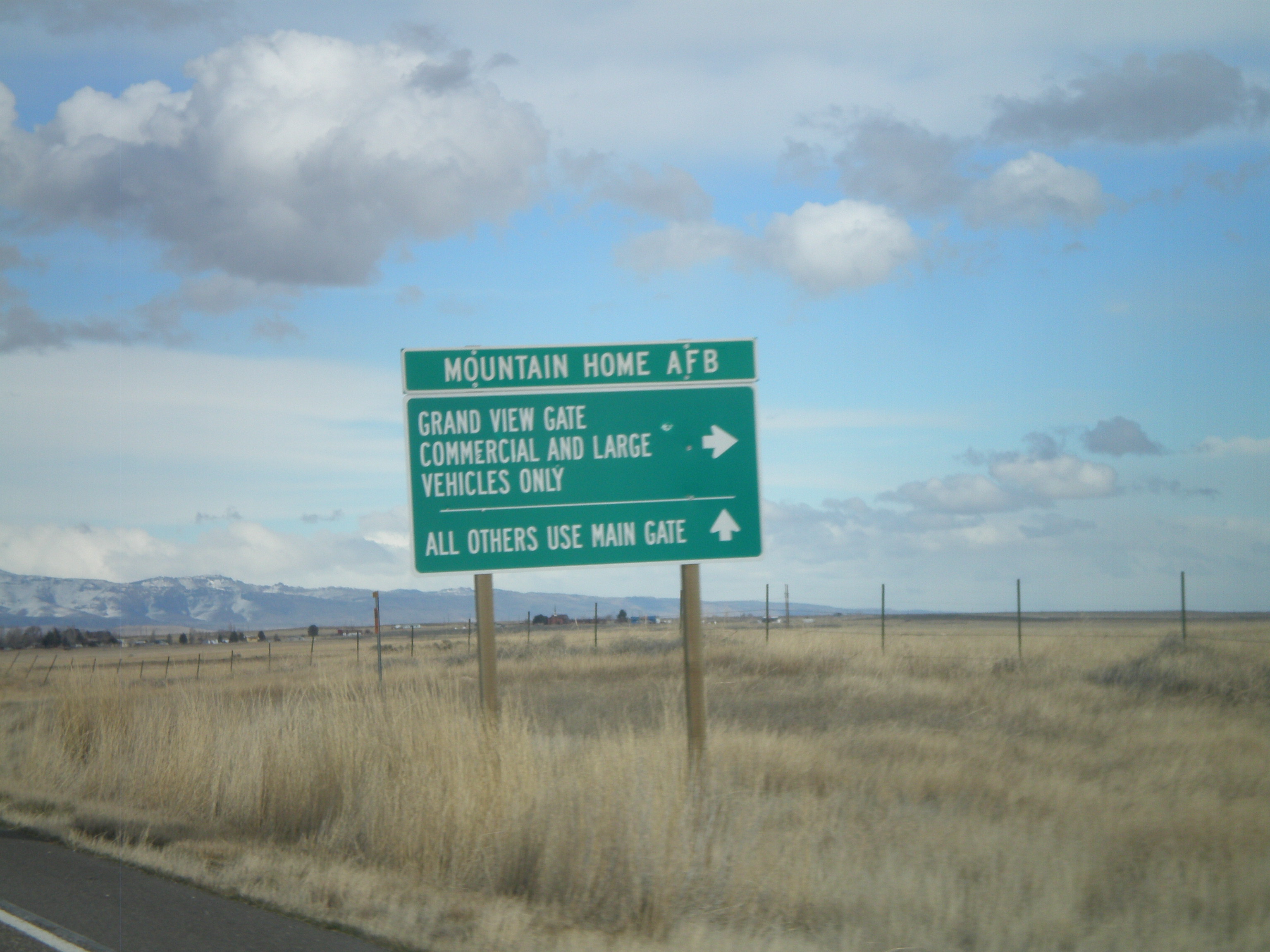
ID-167 East at Mountain Home AFB Grand View Gate

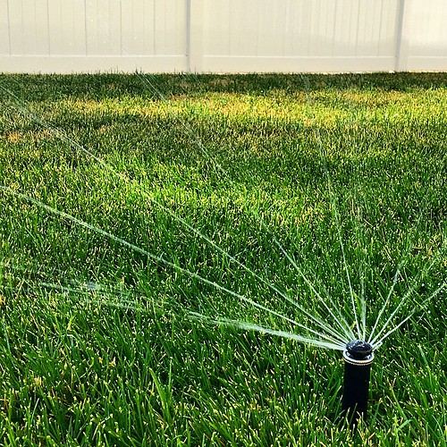
Dryer View
Exploration!

Dryer View

In between

Mental machinery

Dryer View

Dryer View
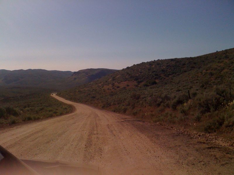
way out
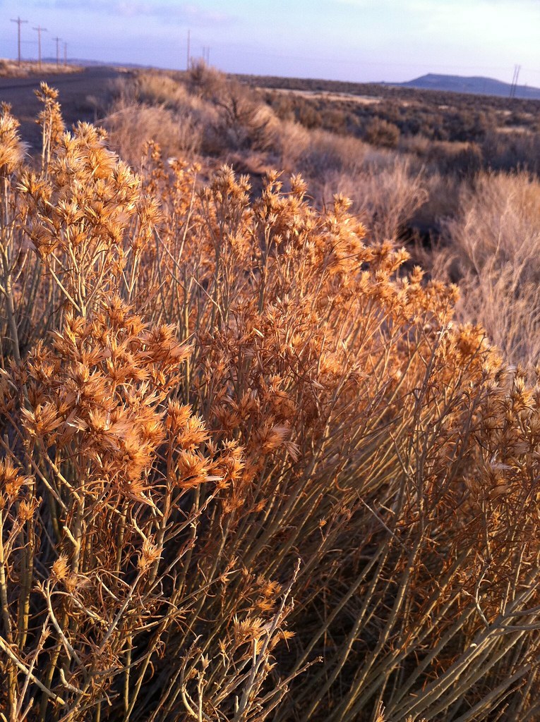
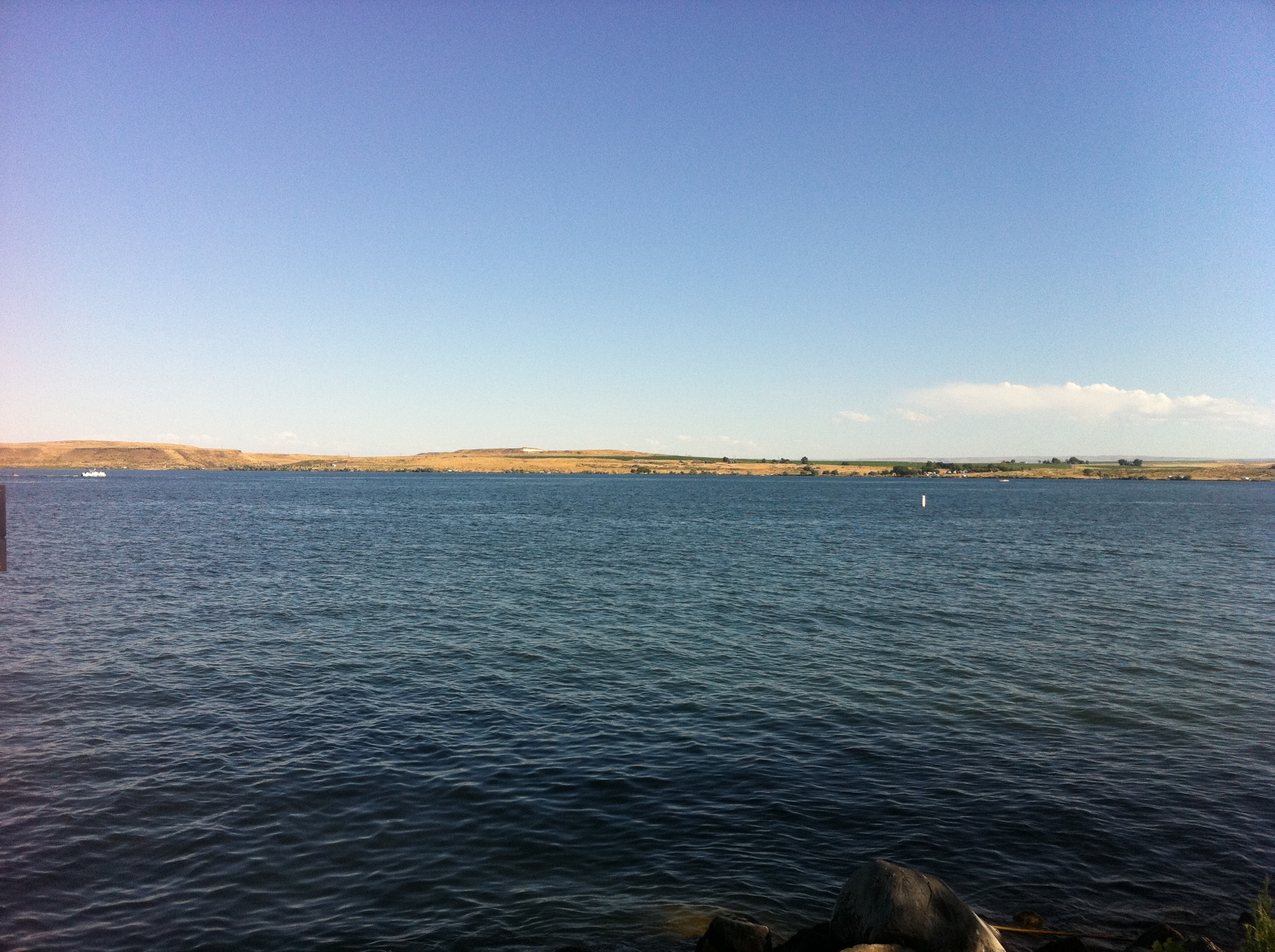
Snake River Plain
More of the high desert in Mountain Home
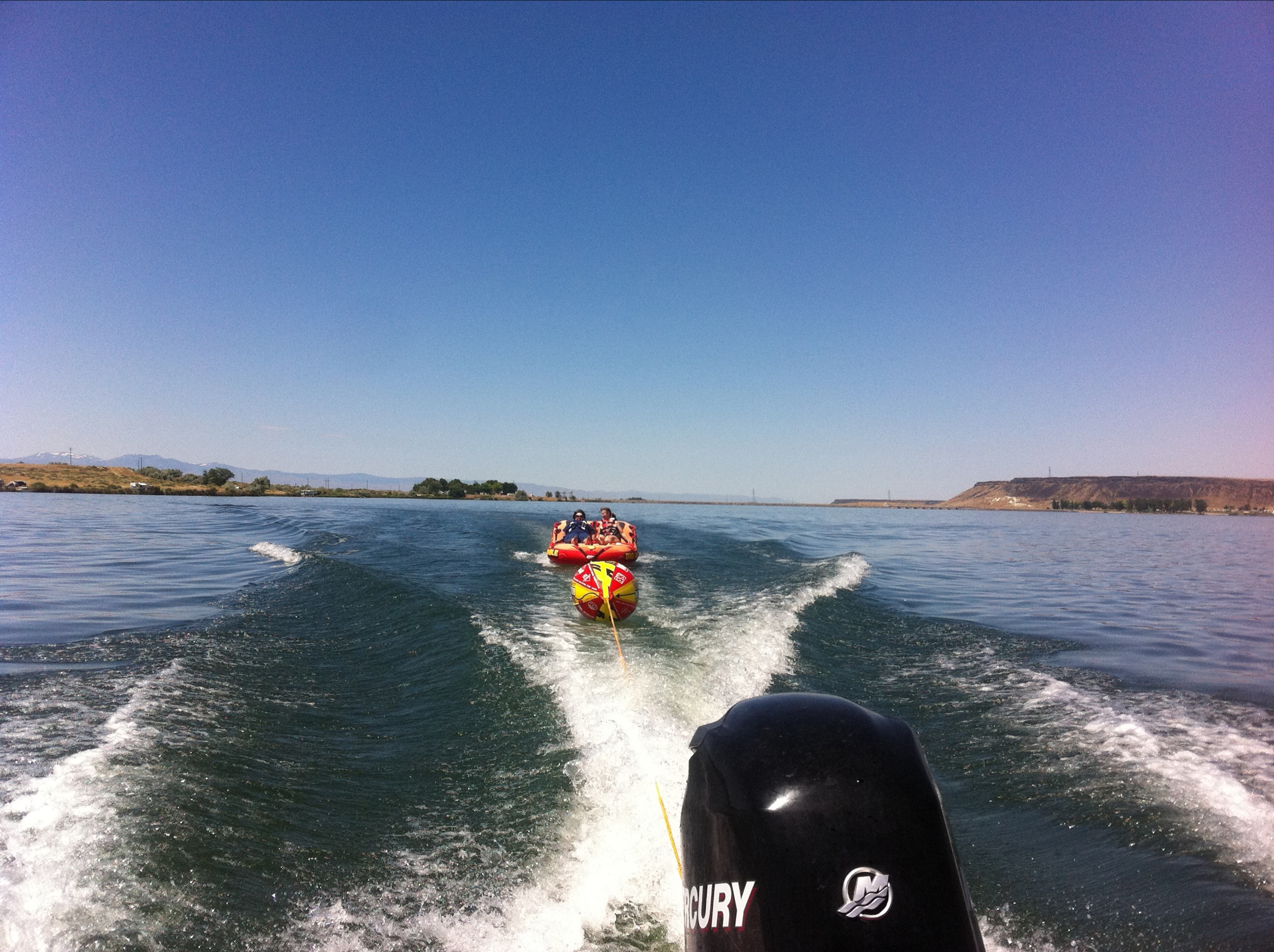
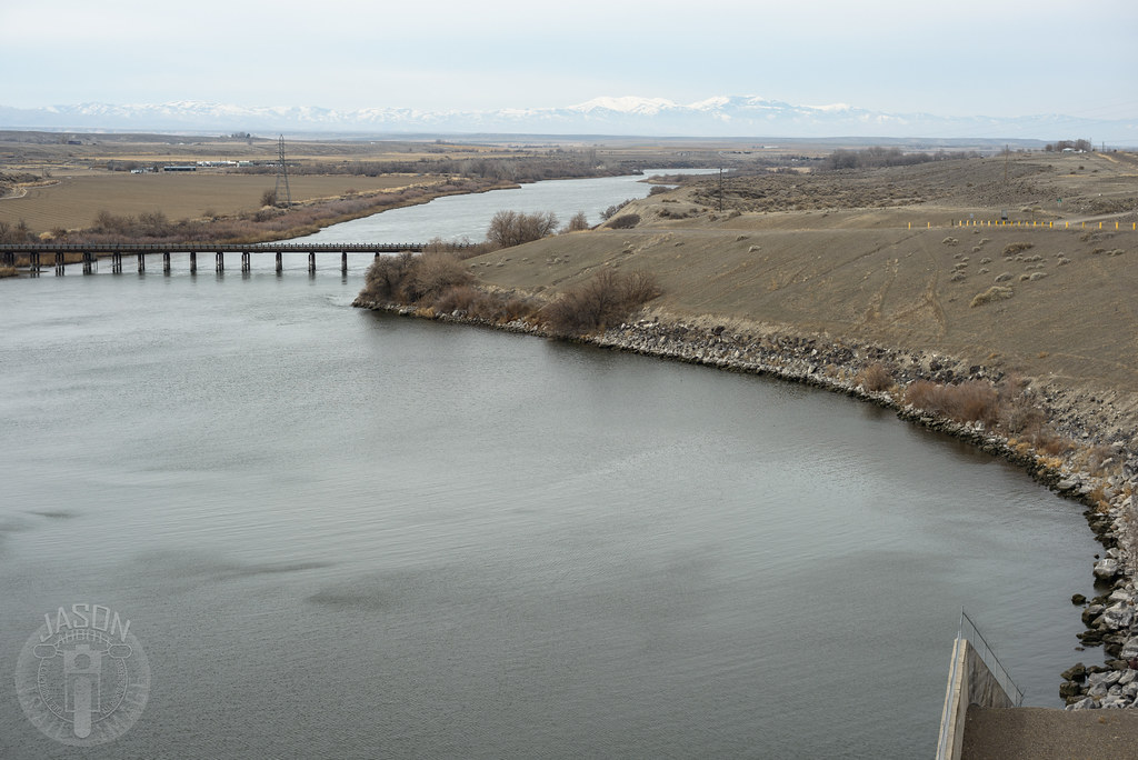
cj strike - July 2011
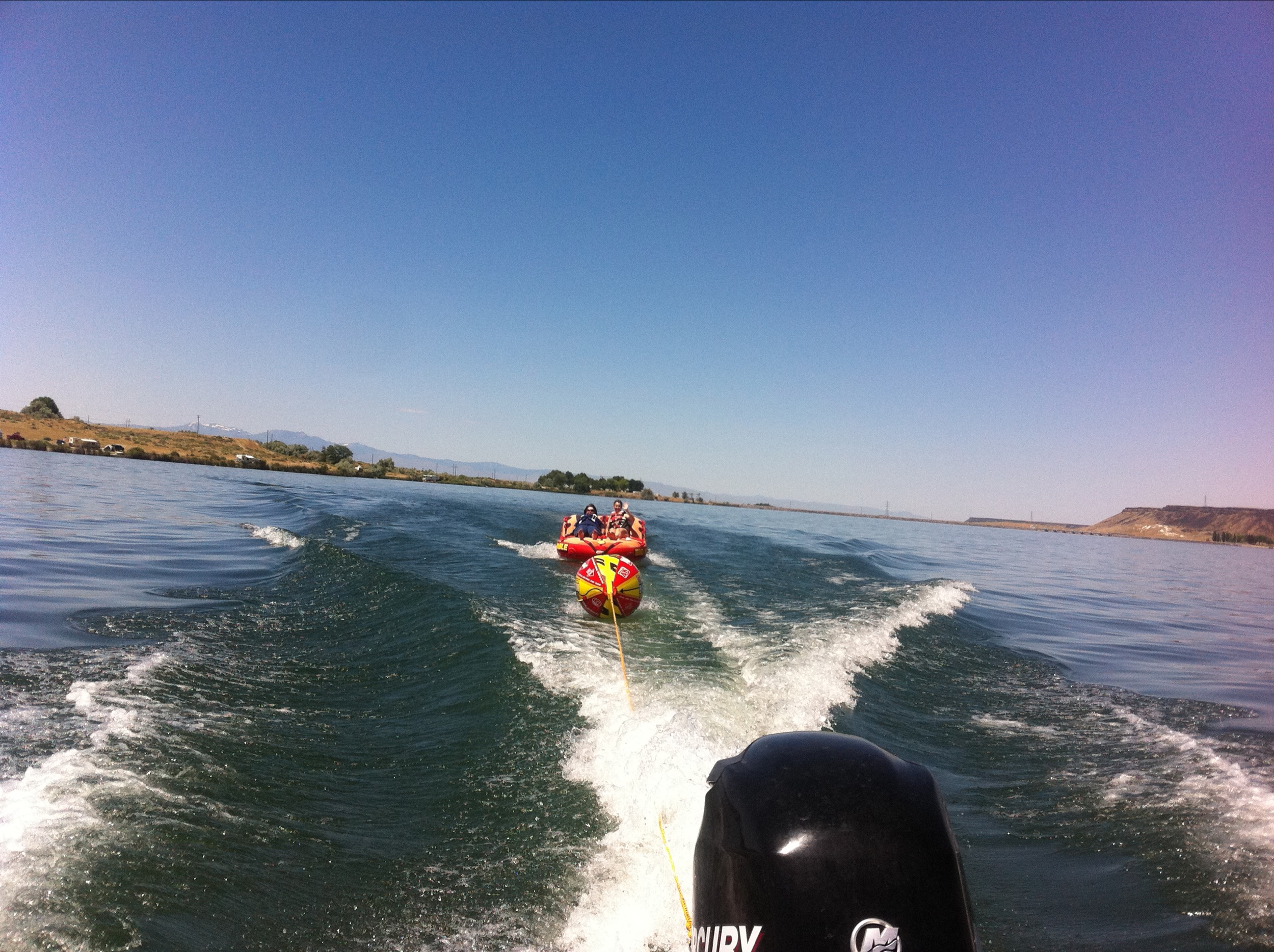
cj strike - July 2011
cj strike - July 2011

cj strike - July 2011

cj strike - July 2011
Keeping them alive under the intense heat.
My first week here had passed. Got to know about my new role here and it was indeed challenging. Challenges that i will faced and embraced readily :) Motivated at the highest level.
Topographic Map of Gunfighter Ave, Mountain Home AFB, ID, USA
Find elevation by address:

Places near Gunfighter Ave, Mountain Home AFB, ID, USA:
Mountain Home Air Force Base
5040 Id-51
1036 Id-51
1036 Id-51
1036 Id-51
675 W 6th S
Mountain Home
Bruneau
1050 Us-20
Pilot Travel Center
31013 Id-51
Old U.S. 30, Mountain Home, ID, USA
Indian Cove
17750 Ne Dyllan Ln
S Orchard Access Rd, Boise, ID, USA
National Forest Development Road 167
Elmore County
562 E Mikes Pl
999 Slater Flat Rd
Tipanuk
Recent Searches:
- Elevation of Unnamed Road, Respublika Severnaya Osetiya — Alaniya, Russia
- Elevation of Verkhny Fiagdon, North Ossetia–Alania Republic, Russia
- Elevation of F. Viola Hiway, San Rafael, Bulacan, Philippines
- Elevation of Herbage Dr, Gulfport, MS, USA
- Elevation of Lilac Cir, Haldimand, ON N3W 2G9, Canada
- Elevation of Harrod Branch Road, Harrod Branch Rd, Kentucky, USA
- Elevation of Wyndham Grand Barbados Sam Lords Castle All Inclusive Resort, End of Belair Road, Long Bay, Bridgetown Barbados
- Elevation of Iga Trl, Maggie Valley, NC, USA
- Elevation of N Co Rd 31D, Loveland, CO, USA
- Elevation of Lindever Ln, Palmetto, FL, USA