Elevation of Mount Uriah, West Coast, New Zealand
Location: New Zealand > West Coast > Lower Buller >
Longitude: 171.6424999
Latitude: -42.0183333
Elevation: 967m / 3173feet
Barometric Pressure: 0KPa
Related Photos:
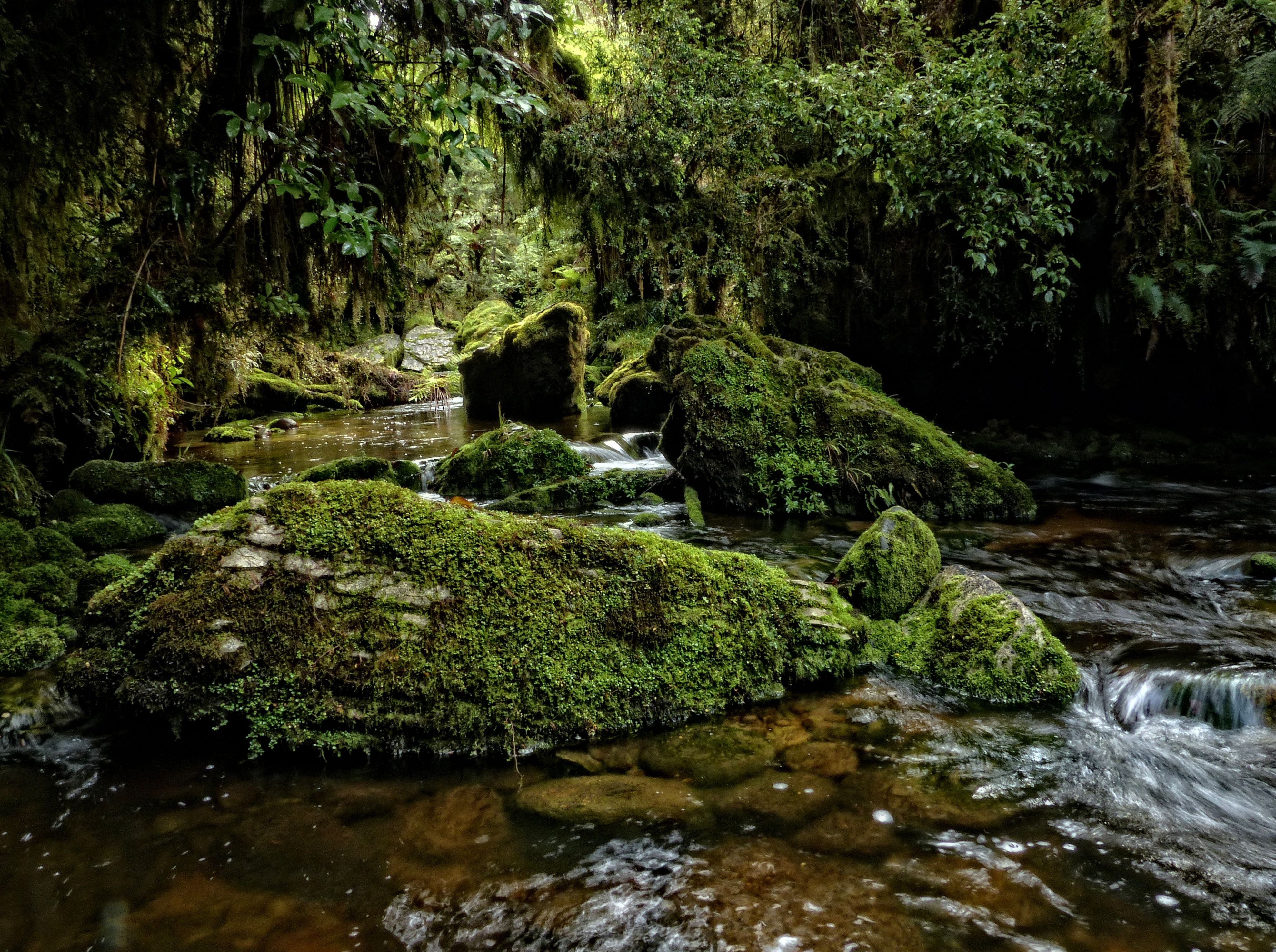
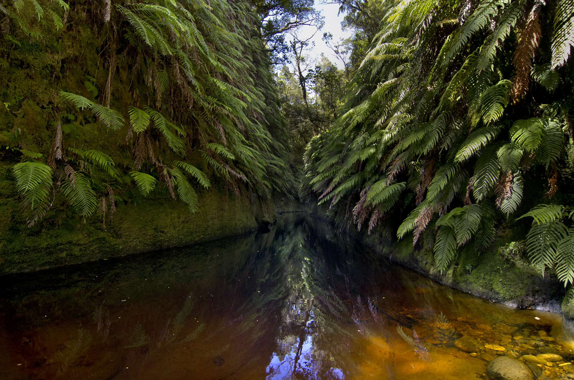
Makirikiri Stream, Paparoa Range, West Coast
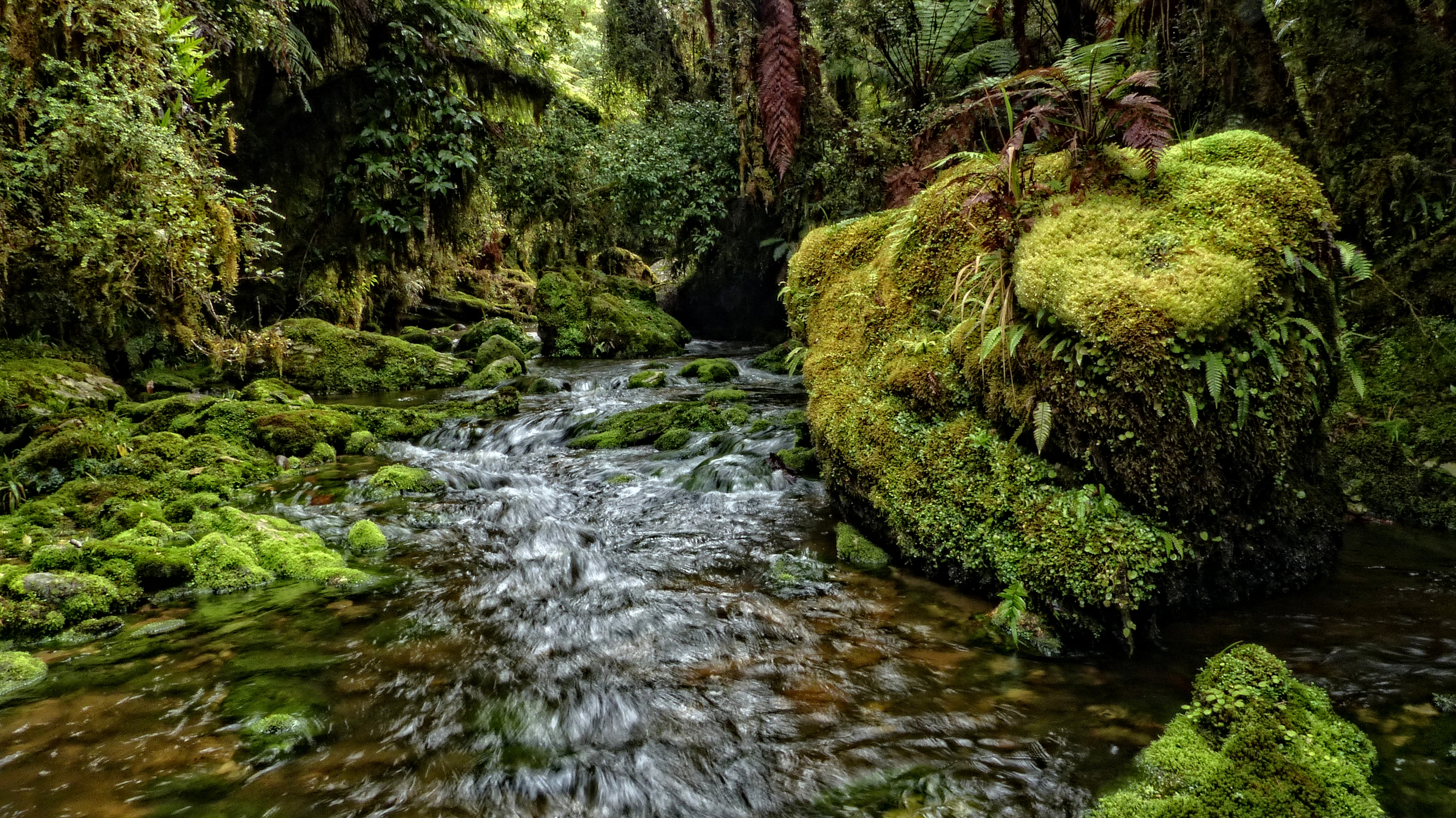
Makirikiri Stream, Paparoa Range
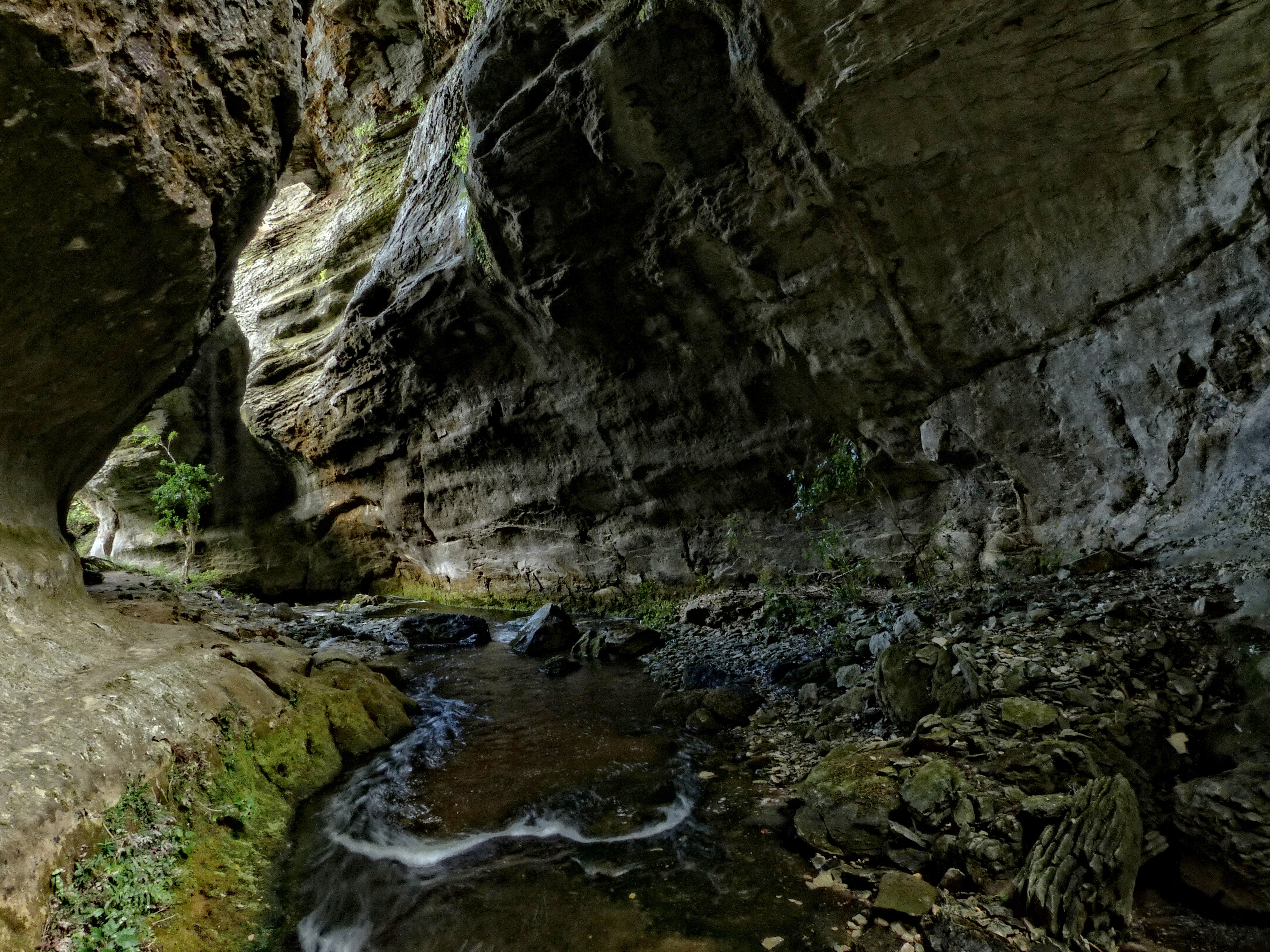
The Hole In The Wall
Makirikiri Stream, Paparoa Range, West Coast
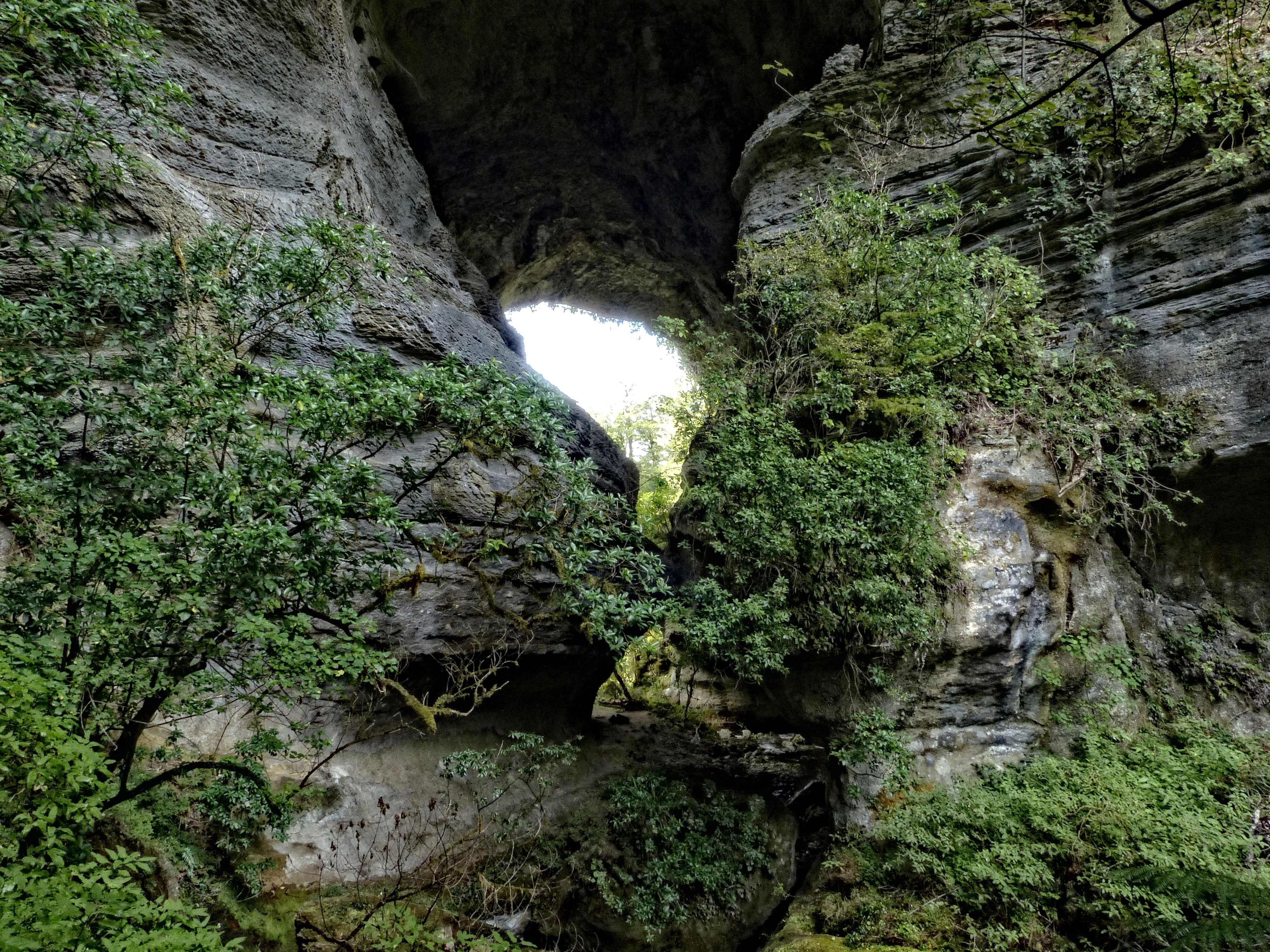
The Hole In The Wall
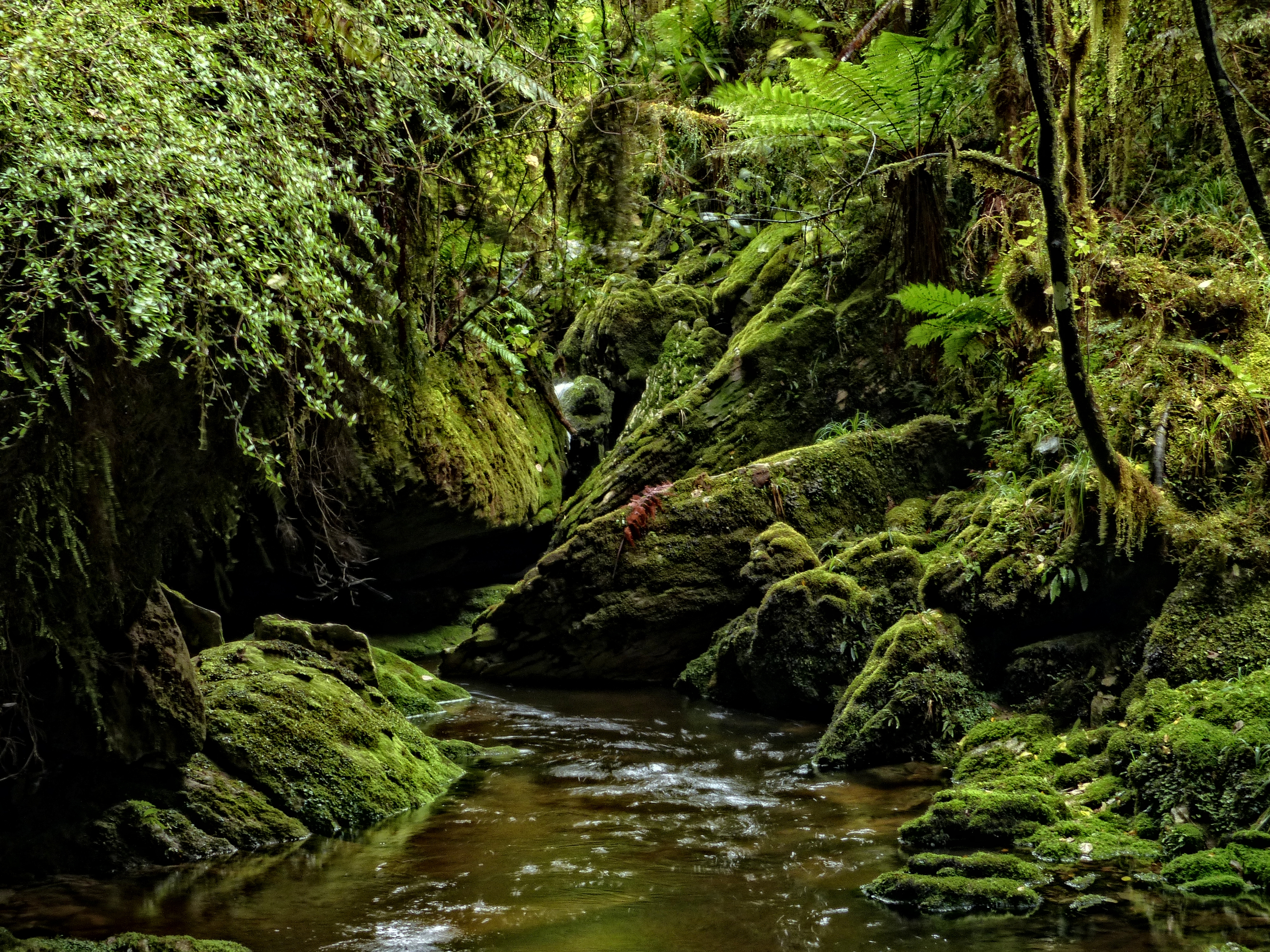
The Inky Black
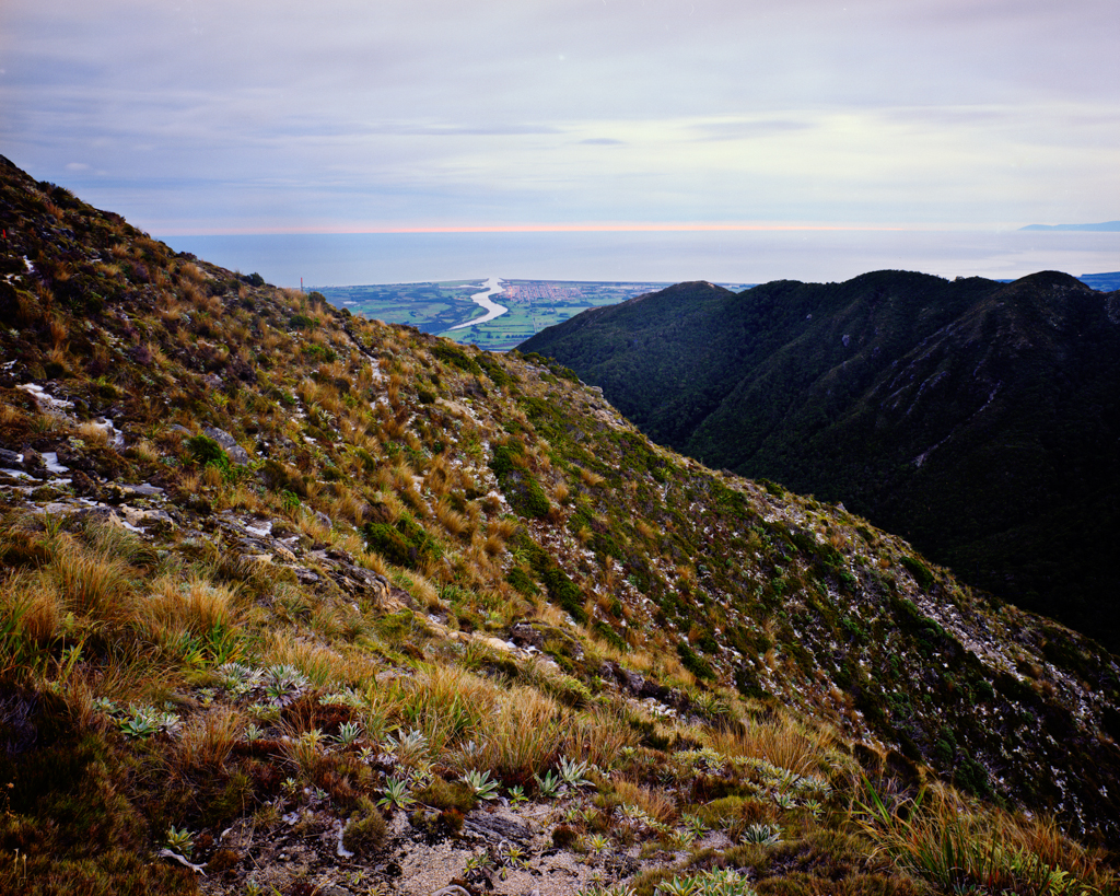
Westport and the Buller River
Topographic Map of Mount Uriah, West Coast, New Zealand
Find elevation by address:

Places near Mount Uriah, West Coast, New Zealand:
Lower Buller
Fonblanque Street
Domett Street
Westport
Palmerston Street
Derby Street
Kilkenny Park
4 Coates St
2 Coates St
Coates Street
Victoria Forest Park
Nelson Lakes National Park
Lake Rotoroa
Mount Franklyn
Glenhope
Lake Rotoiti
Kahurangi National Park
Tapawera
86 Main Road Tapawera
Tasman
Recent Searches:
- Elevation map of Greenland, Greenland
- Elevation of Sullivan Hill, New York, New York, 10002, USA
- Elevation of Morehead Road, Withrow Downs, Charlotte, Mecklenburg County, North Carolina, 28262, USA
- Elevation of 2800, Morehead Road, Withrow Downs, Charlotte, Mecklenburg County, North Carolina, 28262, USA
- Elevation of Yangbi Yi Autonomous County, Yunnan, China
- Elevation of Pingpo, Yangbi Yi Autonomous County, Yunnan, China
- Elevation of Mount Malong, Pingpo, Yangbi Yi Autonomous County, Yunnan, China
- Elevation map of Yongping County, Yunnan, China
- Elevation of North 8th Street, Palatka, Putnam County, Florida, 32177, USA
- Elevation of 107, Big Apple Road, East Palatka, Putnam County, Florida, 32131, USA
- Elevation of Jiezi, Chongzhou City, Sichuan, China
- Elevation of Chongzhou City, Sichuan, China
- Elevation of Huaiyuan, Chongzhou City, Sichuan, China
- Elevation of Qingxia, Chengdu, Sichuan, China
- Elevation of Corso Fratelli Cairoli, 35, Macerata MC, Italy
- Elevation of Tallevast Rd, Sarasota, FL, USA
- Elevation of 4th St E, Sonoma, CA, USA
- Elevation of Black Hollow Rd, Pennsdale, PA, USA
- Elevation of Oakland Ave, Williamsport, PA, USA
- Elevation of Pedrógão Grande, Portugal