Elevation of Tapawera, New Zealand
Location: New Zealand > Tasman >
Longitude: 172.726661
Latitude: -41.417679
Elevation: 172m / 564feet
Barometric Pressure: 99KPa
Elevation Map:
Satellite Map:
Related Photos:

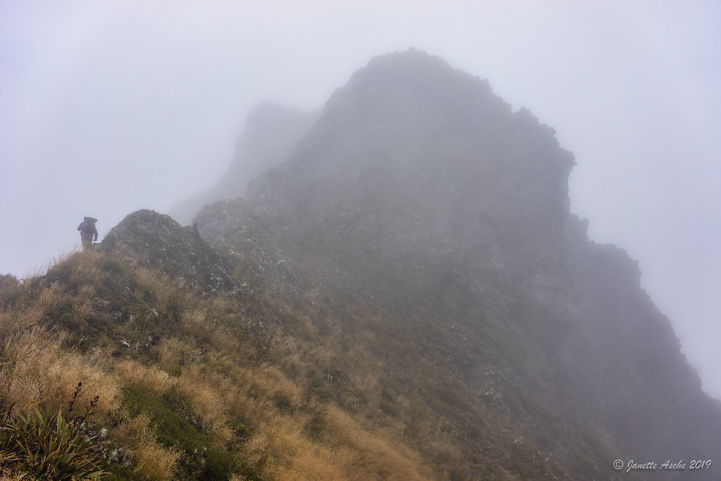
Through the cloud on Arthur Range
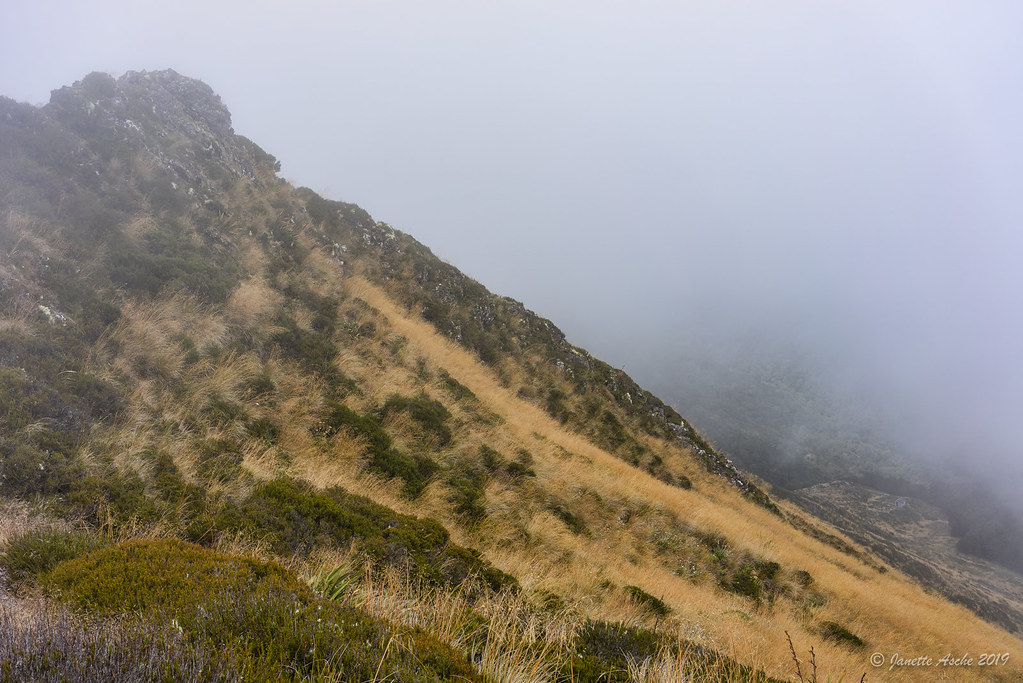
Back in the cloud
First sight of the hut

Old house, Motupika, Tasman, New Zealand

Sunset over John Reid Hut

John Reid Hut sunset

Watching the sunset

View of Mt Owen range from John Reid Hut

Almost at John Reid Hut

NZ sunset

Sunrise Kaikouras

John Reid Hut

John Reid Hut panorama

Looking South Toward Kiwi Railway Station.

Road Rail Bridge Remains in Motueka River.

New Zealand

150_NewZealand2008_Travel.jpg

Ranges.

Hop Country

Round-the-World 2012: New Zealand

Laag hangende bewolking

20141107-FP_141107__MG_8992

John Reid Hut sunrise

Arthur Range

John Reid Hut sunrise

Blue Ducks Beside the Wangapeka River

Billies Knob
Topographic Map of Tapawera, New Zealand
Find elevation by address:

Places near Tapawera, New Zealand:
86 Main Road Tapawera
Tasman
Tasman District
Dovedale
11 Thorn Rd
Glenhope
Kahurangi National Park
Nelson Lakes National Park
Lake Rotoiti
East Takaka
Loop Road
Takaka
Te Waikoropupu Springs
Mount Franklyn
Victoria Forest Park
Lower Buller
Domett Street
Kilkenny Park
Derby Street
Westport
Recent Searches:
- Elevation of Beall Road, Beall Rd, Florida, USA
- Elevation of Leguwa, Nepal
- Elevation of County Rd, Enterprise, AL, USA
- Elevation of Kolchuginsky District, Vladimir Oblast, Russia
- Elevation of Shustino, Vladimir Oblast, Russia
- Elevation of Lampiasi St, Sarasota, FL, USA
- Elevation of Elwyn Dr, Roanoke Rapids, NC, USA
- Elevation of Congressional Dr, Stevensville, MD, USA
- Elevation of Bellview Rd, McLean, VA, USA
- Elevation of Stage Island Rd, Chatham, MA, USA