Elevation of Lower Buller, New Zealand
Location: New Zealand > West Coast >
Longitude: 171.782122
Latitude: -41.862241
Elevation: 30m / 98feet
Barometric Pressure: 101KPa
Elevation Map:
Satellite Map:
Related Photos:
Westport and the Buller River

The long bus ride back

Looking Down The Incline

Buller Gorge
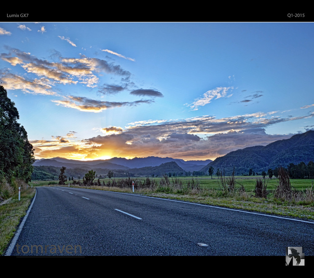
Buller Gorge Sunset

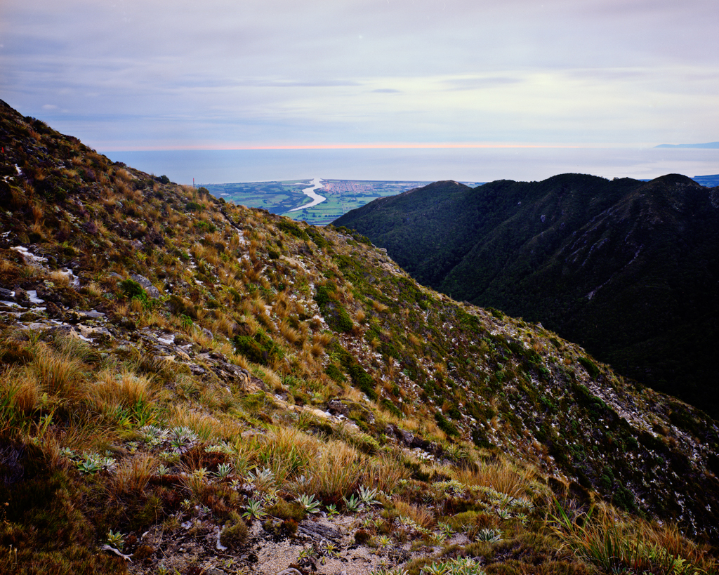
Buckland Peaks Dawn
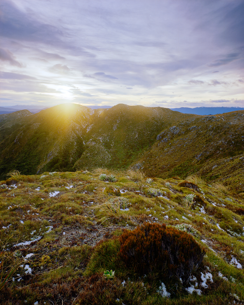
Buckland Peaks Sunrise
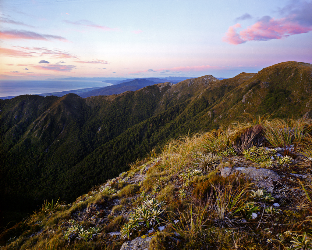
Buckland Peaks Dusk
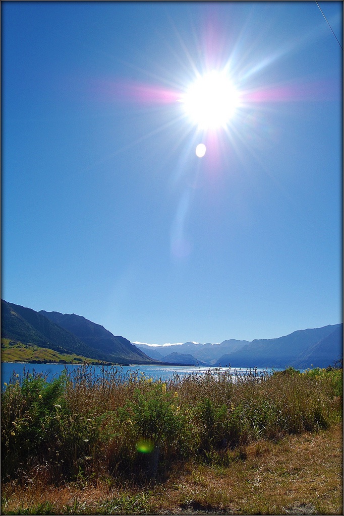
LAKE HAWEA_4190865191_l
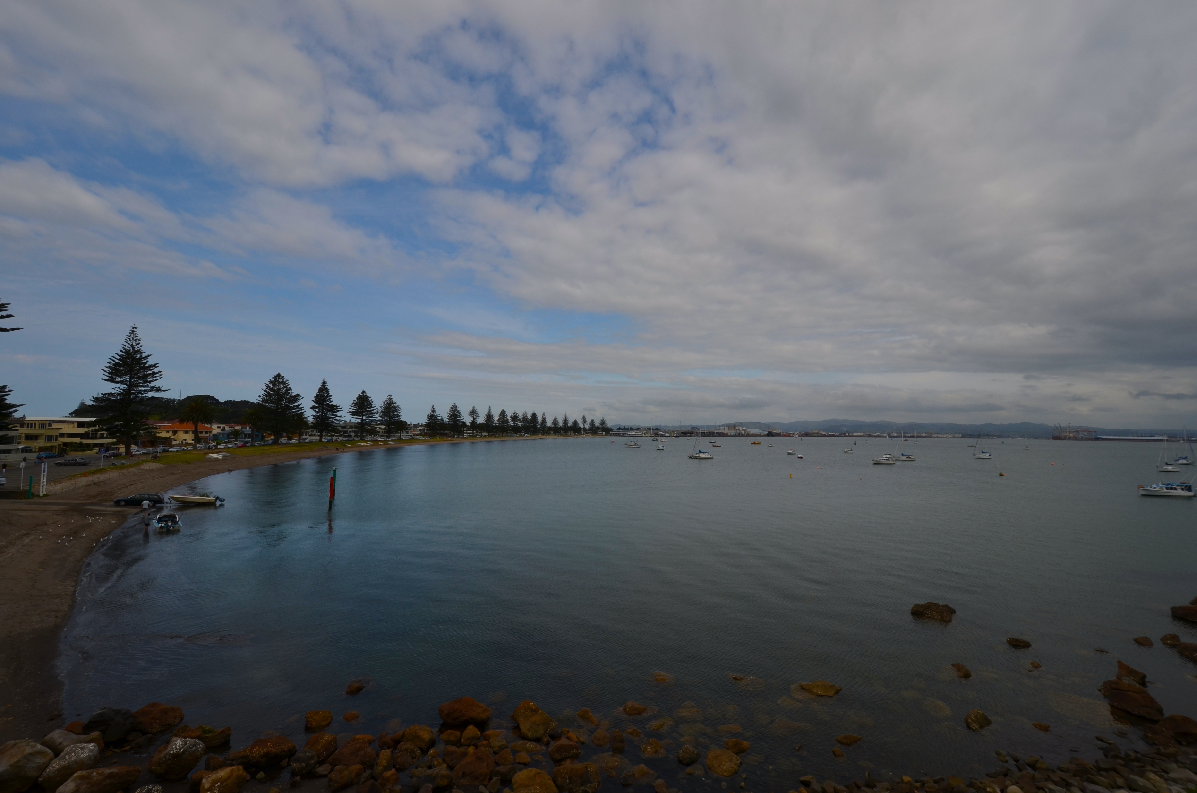
Mount Maunganui

Denniston Incline
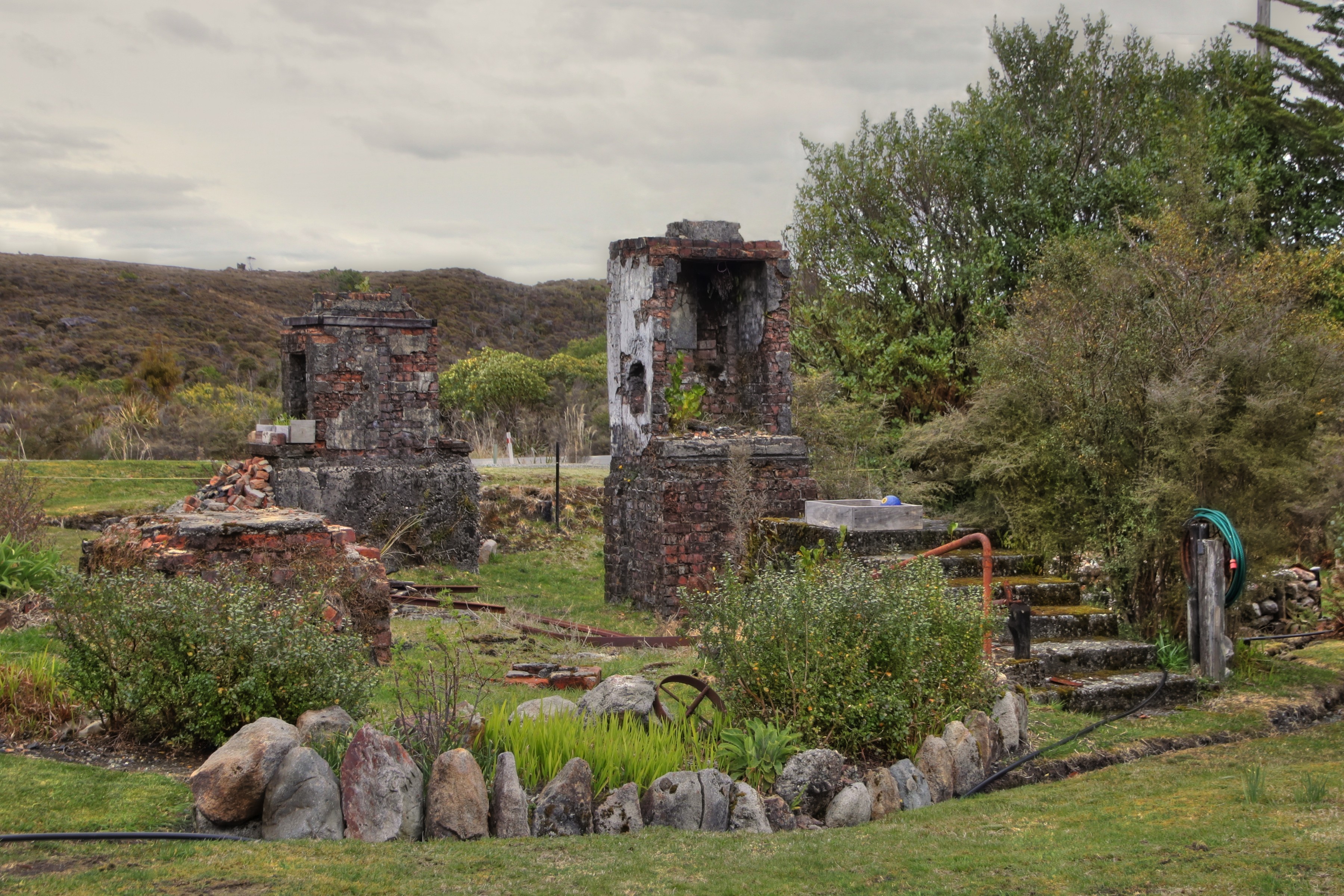
An old house was here, Denniston, West Coast, New Zealand
Topographic Map of Lower Buller, New Zealand
Find elevation by address:

Places in Lower Buller, New Zealand:
Places near Lower Buller, New Zealand:
Domett Street
Fonblanque Street
Westport
Derby Street
Mount Uriah
Kilkenny Park
Palmerston Street
4 Coates St
2 Coates St
Coates Street
Victoria Forest Park
Nelson Lakes National Park
Lake Rotoroa
Glenhope
Mount Franklyn
Kahurangi National Park
Tapawera
Lake Rotoiti
86 Main Road Tapawera
Tasman
Recent Searches:
- Elevation of Corso Fratelli Cairoli, 35, Macerata MC, Italy
- Elevation of Tallevast Rd, Sarasota, FL, USA
- Elevation of 4th St E, Sonoma, CA, USA
- Elevation of Black Hollow Rd, Pennsdale, PA, USA
- Elevation of Oakland Ave, Williamsport, PA, USA
- Elevation of Pedrógão Grande, Portugal
- Elevation of Klee Dr, Martinsburg, WV, USA
- Elevation of Via Roma, Pieranica CR, Italy
- Elevation of Tavkvetili Mountain, Georgia
- Elevation of Hartfords Bluff Cir, Mt Pleasant, SC, USA