Elevation of Mount Trumbull Wilderness, Mohave North, AZ, United States
Location: United States > Arizona > Mohave County >
Longitude: -113.12882
Latitude: 36.4085925
Elevation: 2352m / 7717feet
Barometric Pressure: 76KPa
Elevation Map:
Satellite Map:
Related Photos:
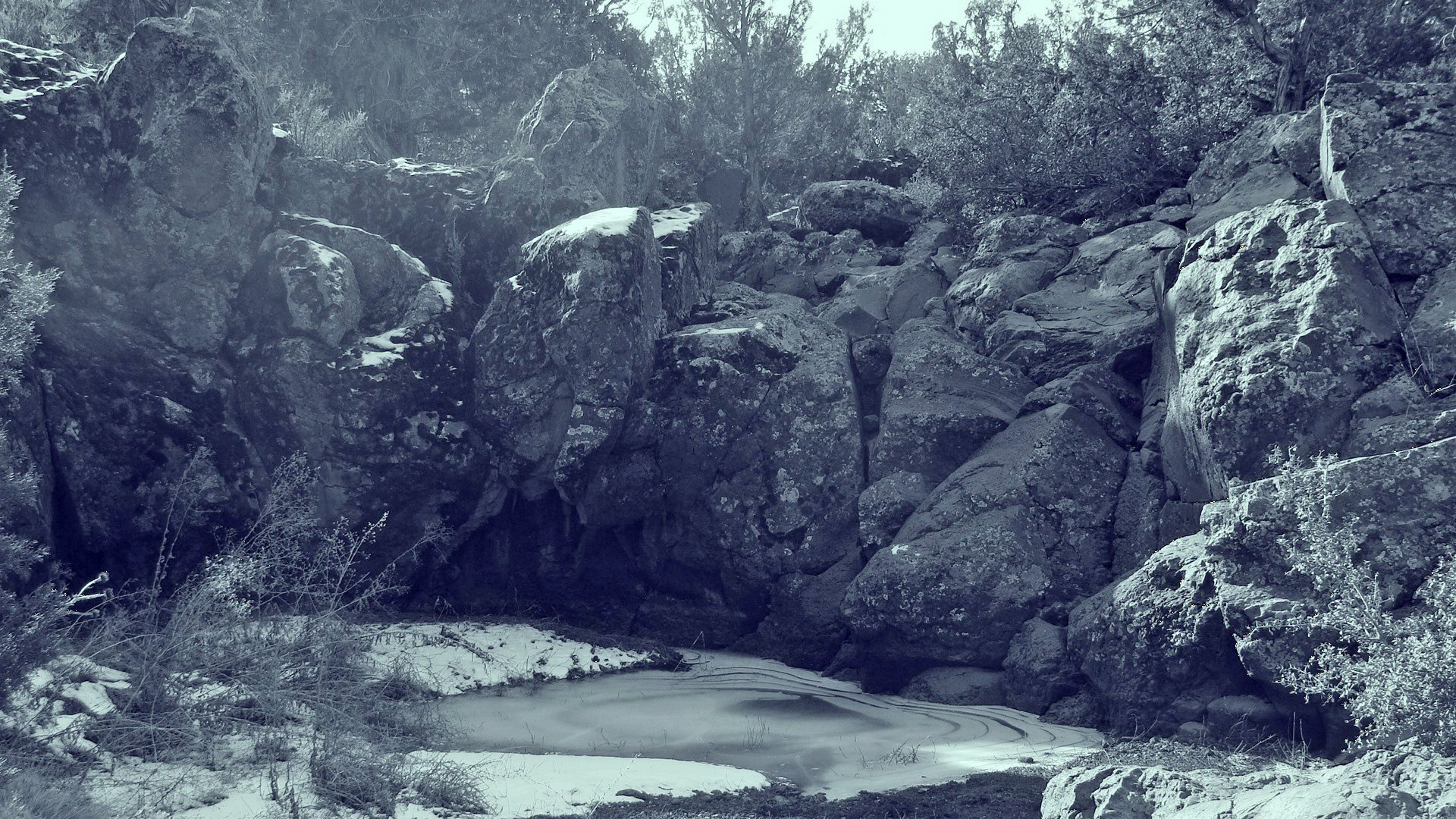
HISTORIC SITE:The Witches Waterpocket
Topographic Map of Mount Trumbull Wilderness, Mohave North, AZ, United States
Find elevation by address:

Places near Mount Trumbull Wilderness, Mohave North, AZ, United States:
Bar 10 Ranch Road
Mount Trumbull
Beaver Falls
Havasu Creek
Mooney Falls
Havasupai Campground
Havasu Falls
Havasu Falls Trail
Supai
Havasupai Campground Parking Lot - "hill Top"
Hualapai Hilltop Highway
Hualapai Hilltop Highway
Frazier Wells
Diamond Creek Beach
Grand Canyon Skywalk
Hualapai Ranch
AZ-66, Seligman, AZ, USA
East Diamond Bar Road
Peach Springs
Peaceful Hill Road
Recent Searches:
- Elevation of Corso Fratelli Cairoli, 35, Macerata MC, Italy
- Elevation of Tallevast Rd, Sarasota, FL, USA
- Elevation of 4th St E, Sonoma, CA, USA
- Elevation of Black Hollow Rd, Pennsdale, PA, USA
- Elevation of Oakland Ave, Williamsport, PA, USA
- Elevation of Pedrógão Grande, Portugal
- Elevation of Klee Dr, Martinsburg, WV, USA
- Elevation of Via Roma, Pieranica CR, Italy
- Elevation of Tavkvetili Mountain, Georgia
- Elevation of Hartfords Bluff Cir, Mt Pleasant, SC, USA