Elevation of Frazier Wells, AZ, USA
Location: United States > Arizona > Coconino County >
Longitude: -113.07214
Latitude: 35.7824885
Elevation: 1843m / 6047feet
Barometric Pressure: 81KPa
Elevation Map:
Satellite Map:
Related Photos:

The immobility of the time

Williams, Arizona

Look across the border

Flying Over Arizona

Frazier wells

Frazier wells
Grand Canyon

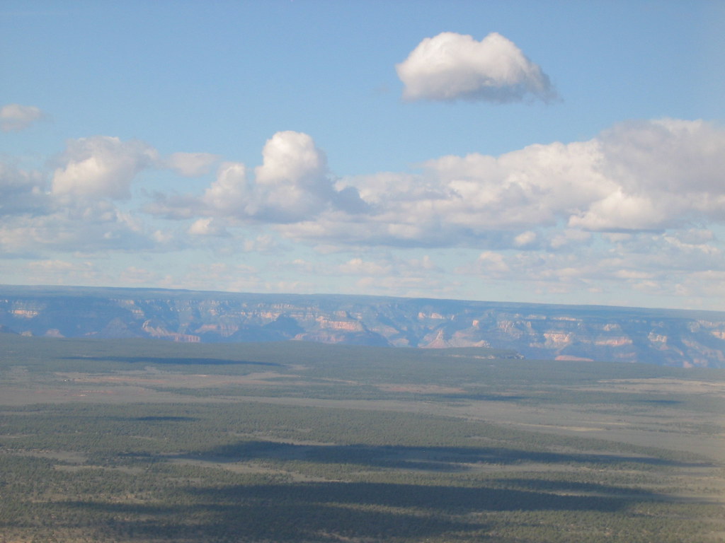
Grand Canyon from the sky
Topographic Map of Frazier Wells, AZ, USA
Find elevation by address:

Places in Frazier Wells, AZ, USA:
Places near Frazier Wells, AZ, USA:
Hualapai Hilltop Highway
Hualapai Hilltop Highway
AZ-66, Seligman, AZ, USA
Diamond Creek Beach
Peaceful Hill Road
Cll Vaca, Seligman, AZ, USA
Basconia Lane
Basconia Lane
Pumphouse Road
Peach Springs
Rock Ridge Road
Rock Ridge Road
32824 Correr Ardillo
22365 Pine St
22365 Pine St
Seligman
Interstate 40
Amber Ridge Road
35770 Amber Ridge Rd
Bar 10 Ranch Road
Recent Searches:
- Elevation of SW 57th Ave, Portland, OR, USA
- Elevation of Crocker Dr, Vacaville, CA, USA
- Elevation of Pu Ngaol Community Meeting Hall, HWHM+3X7, Krong Saen Monourom, Cambodia
- Elevation of Royal Ontario Museum, Queens Park, Toronto, ON M5S 2C6, Canada
- Elevation of Groblershoop, South Africa
- Elevation of Power Generation Enterprises | Industrial Diesel Generators, Oak Ave, Canyon Country, CA, USA
- Elevation of Chesaw Rd, Oroville, WA, USA
- Elevation of N, Mt Pleasant, UT, USA
- Elevation of 6 Rue Jules Ferry, Beausoleil, France
- Elevation of Sattva Horizon, 4JC6+G9P, Vinayak Nagar, Kattigenahalli, Bengaluru, Karnataka, India