Elevation of Hualapai Hilltop Highway, Hualapai Hilltop Hwy, Supai, AZ, USA
Location: United States > Flagstaff >
Longitude: -113.00657
Latitude: 35.8574685
Elevation: 1955m / 6414feet
Barometric Pressure: 80KPa
Elevation Map:
Satellite Map:
Related Photos:
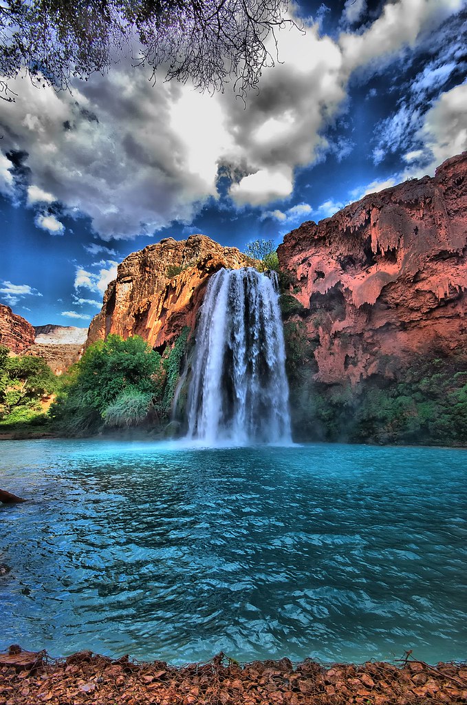
Havasu Fall

The immobility of the time

Look across the border
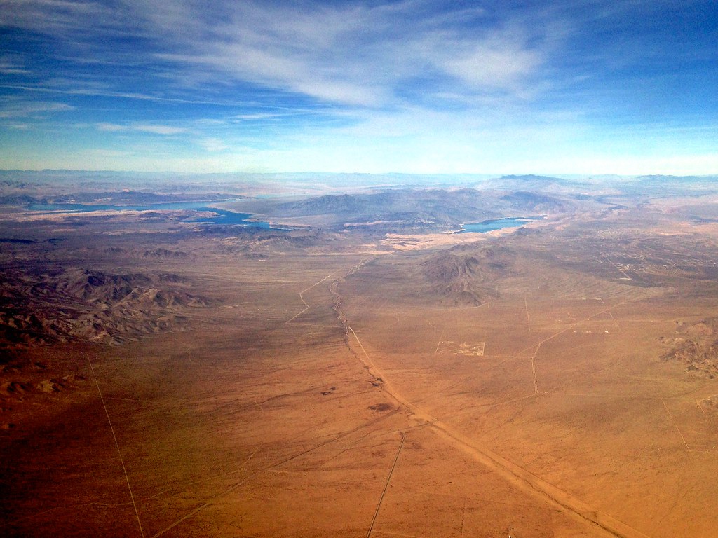
Flying Over Arizona

Frazier wells

Frazier wells
Grand Canyon from the air

Lyneth and Chris in a plane over the Grand Canyon
Grand Canyon
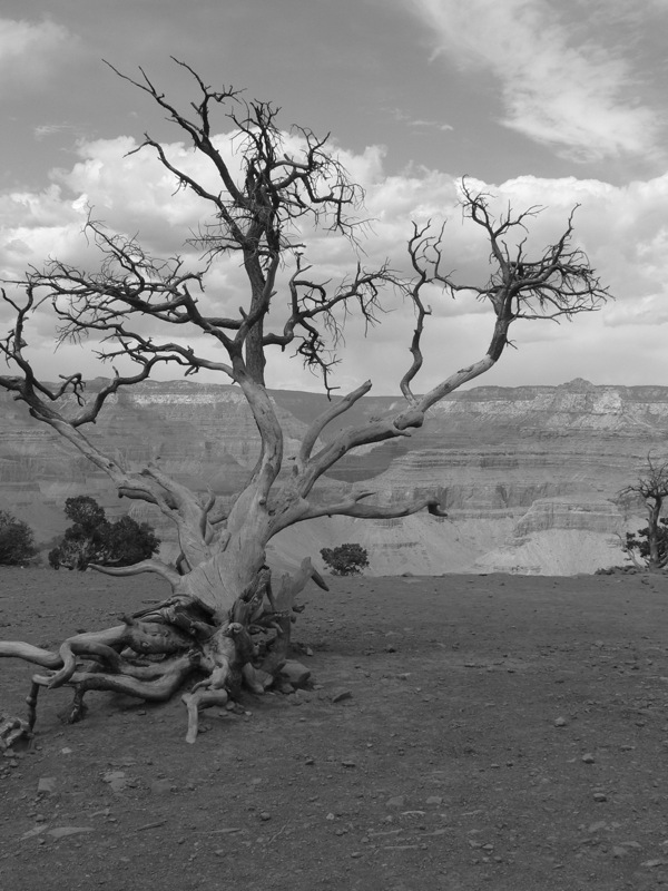
dead tree
Topographic Map of Hualapai Hilltop Highway, Hualapai Hilltop Hwy, Supai, AZ, USA
Find elevation by address:

Places near Hualapai Hilltop Highway, Hualapai Hilltop Hwy, Supai, AZ, USA:
Hualapai Hilltop Highway
Frazier Wells
Diamond Creek Beach
AZ-66, Seligman, AZ, USA
Havasupai Campground Parking Lot - "hill Top"
Cll Vaca, Seligman, AZ, USA
Peaceful Hill Road
Bar 10 Ranch Road
Basconia Lane
Basconia Lane
Havasu Creek
Supai
Havasu Falls Trail
Havasupai Campground
Mooney Falls
Havasu Falls
Beaver Falls
Rock Ridge Road
Rock Ridge Road
Pumphouse Road
Recent Searches:
- Elevation of Hercules Dr, Colorado Springs, CO, USA
- Elevation of Szlak pieszy czarny, Poland
- Elevation of Griffing Blvd, Biscayne Park, FL, USA
- Elevation of Kreuzburger Weg 13, Düsseldorf, Germany
- Elevation of Gateway Blvd SE, Canton, OH, USA
- Elevation of East W.T. Harris Boulevard, E W.T. Harris Blvd, Charlotte, NC, USA
- Elevation of West Sugar Creek, Charlotte, NC, USA
- Elevation of Wayland, NY, USA
- Elevation of Steadfast Ct, Daphne, AL, USA
- Elevation of Lagasgasan, X+CQH, Tiaong, Quezon, Philippines