Elevation of Mount Gleason, Mt Gleason, California, USA
Location: United States > California > Los Angeles County > Acton >
Longitude: -118.17729
Latitude: 34.3766644
Elevation: 1988m / 6522feet
Barometric Pressure: 80KPa
Elevation Map:
Satellite Map:
Related Photos:
2008-05-21_17-34-17_IMG_4915_q75_s10
2013_06_25-26_syd-akl-lax-iad-ewr_057

view up Bear Canyon towards Mt Lowe, from the Gabrielino Trail in the Arroyo Seco between Switzers Falls and Paul Little Picnic Area
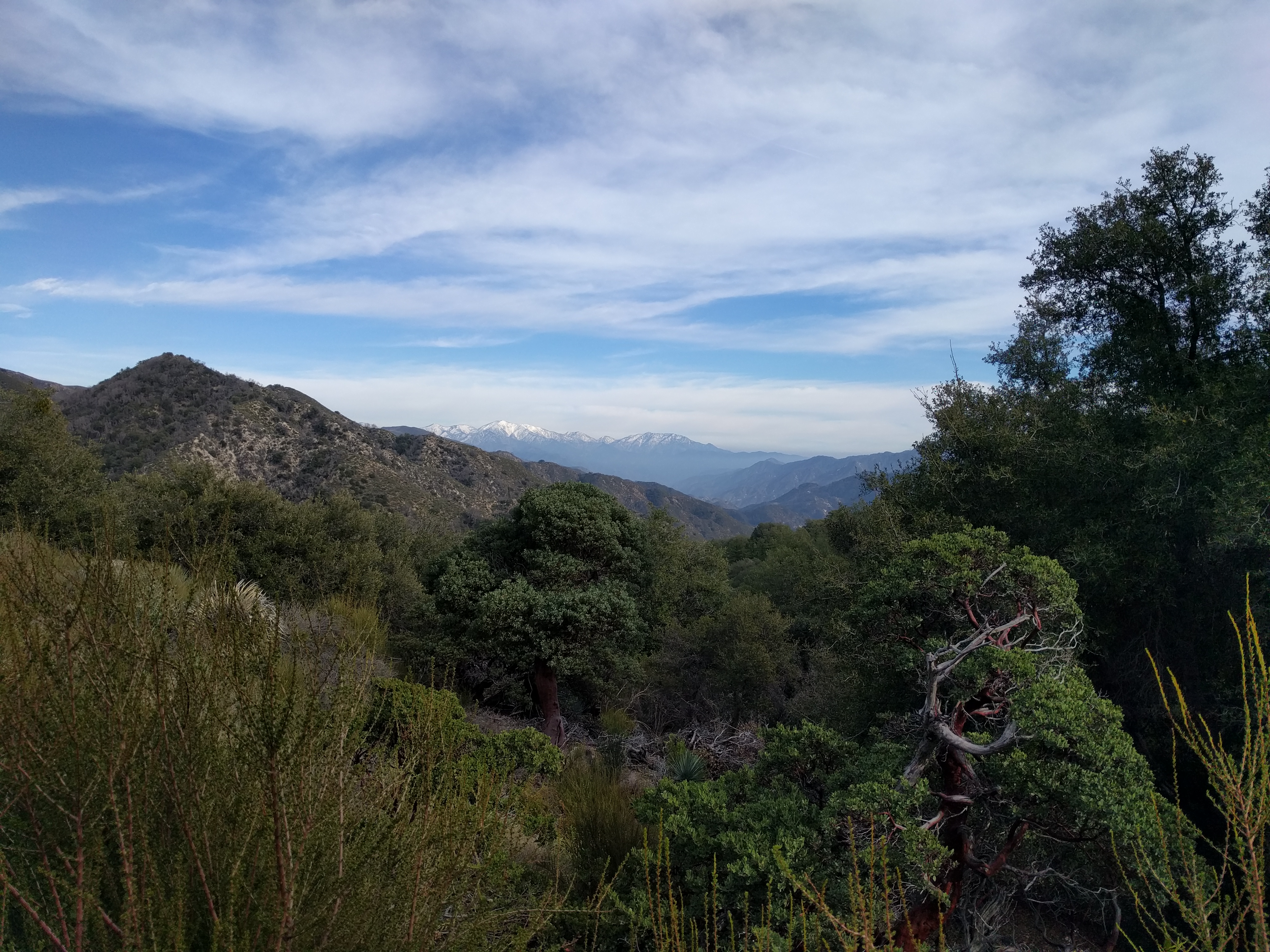
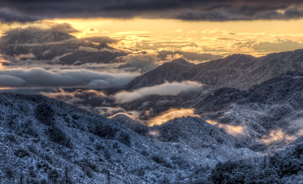
Snow in the Distance
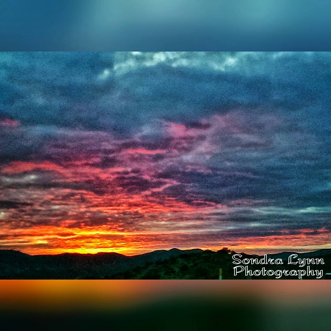
Beautiful sunset while driving down the 14 #Freeway toward #Newhall, #California #Photolife #Sondralynnphotography #sky #sunset #colors #clouds #views #cold #outside #America #beautiful #nature
Angeles Crest Highway, La Canada Flintridge, California
Angeles Crest Highway, La Canada Flintridge, California
Angeles Crest Highway, La Canada Flintridge, California
Angeles Crest Highway, La Canada Flintridge, California
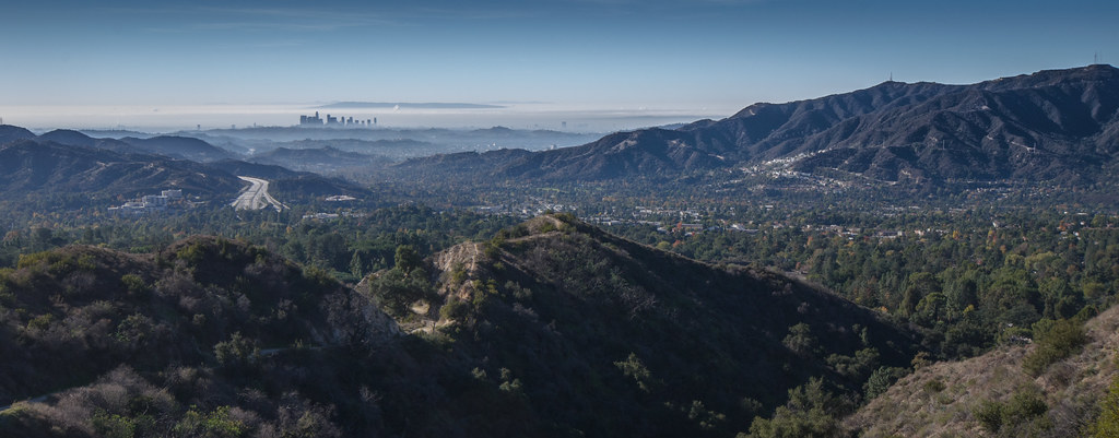
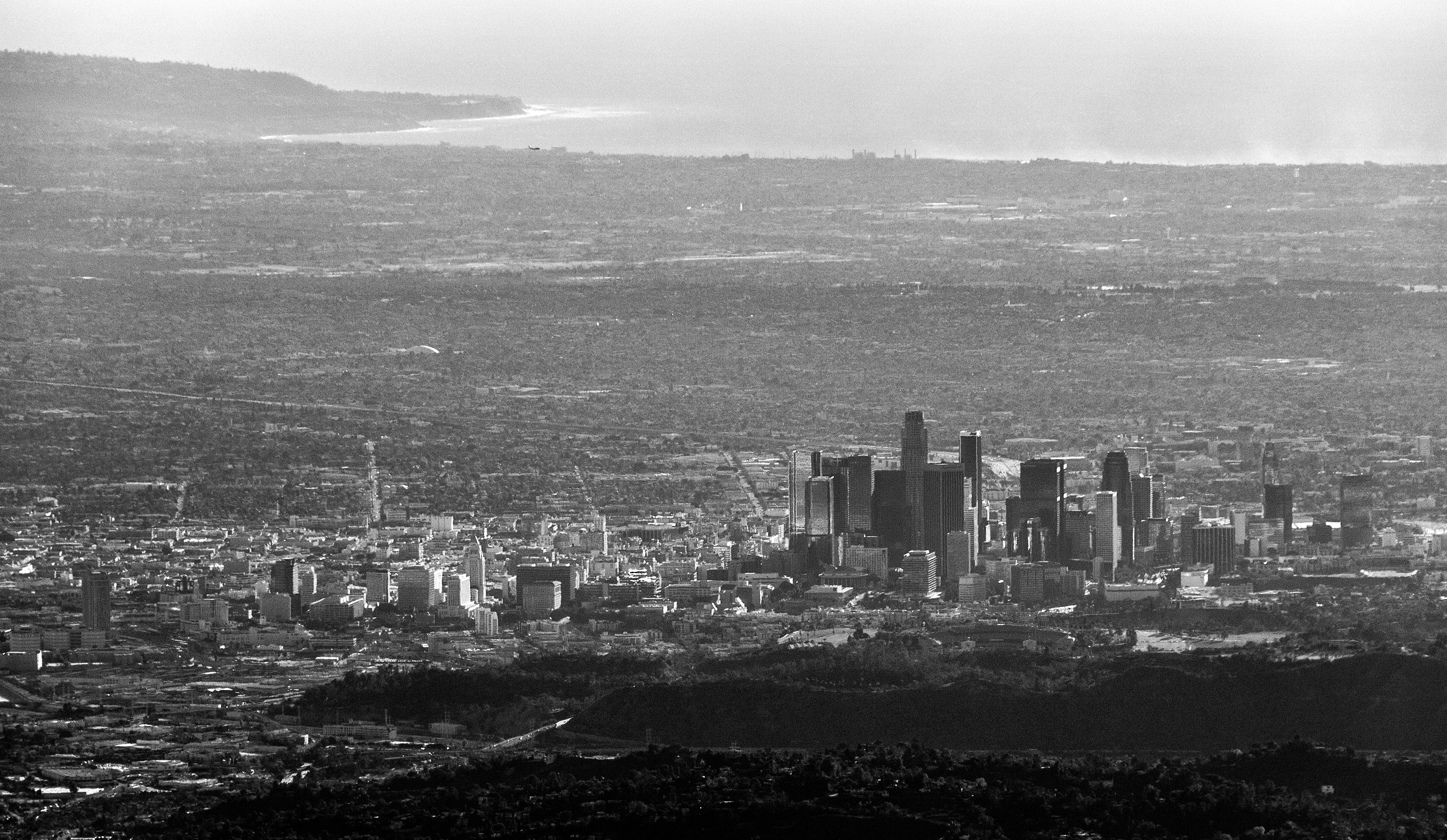
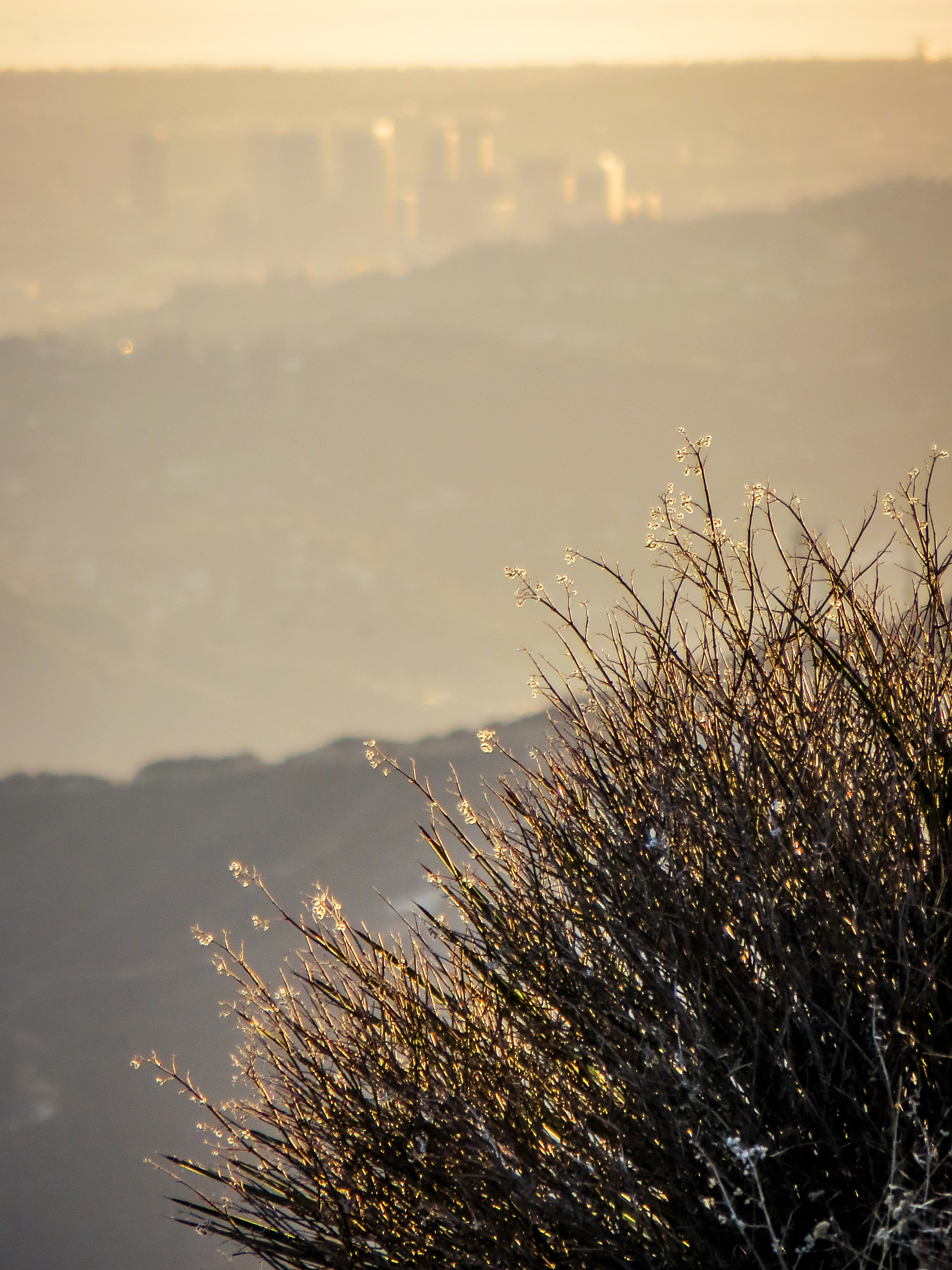
Downtown Los Angeles skyline--a different view
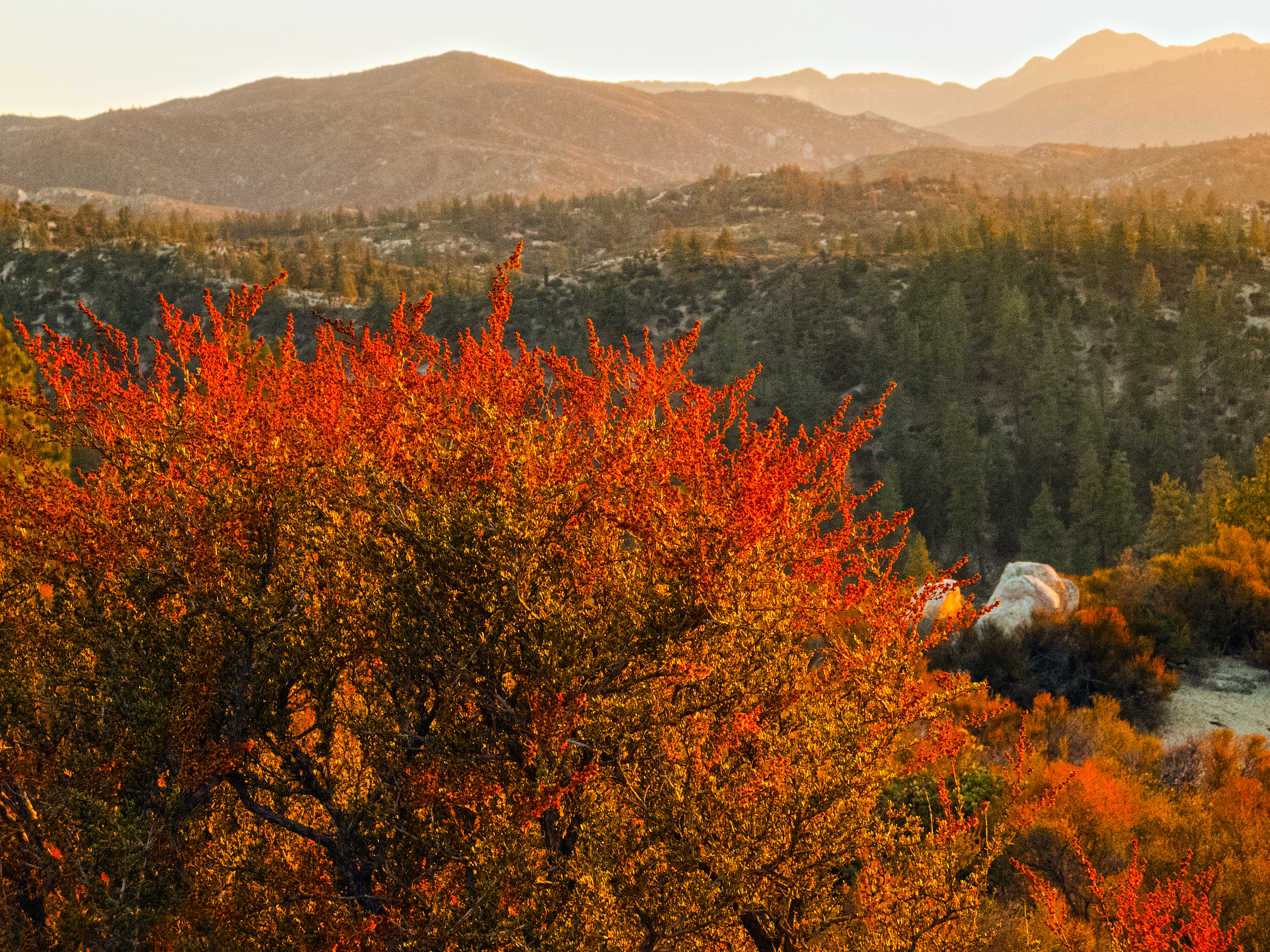
Flame of the Forest
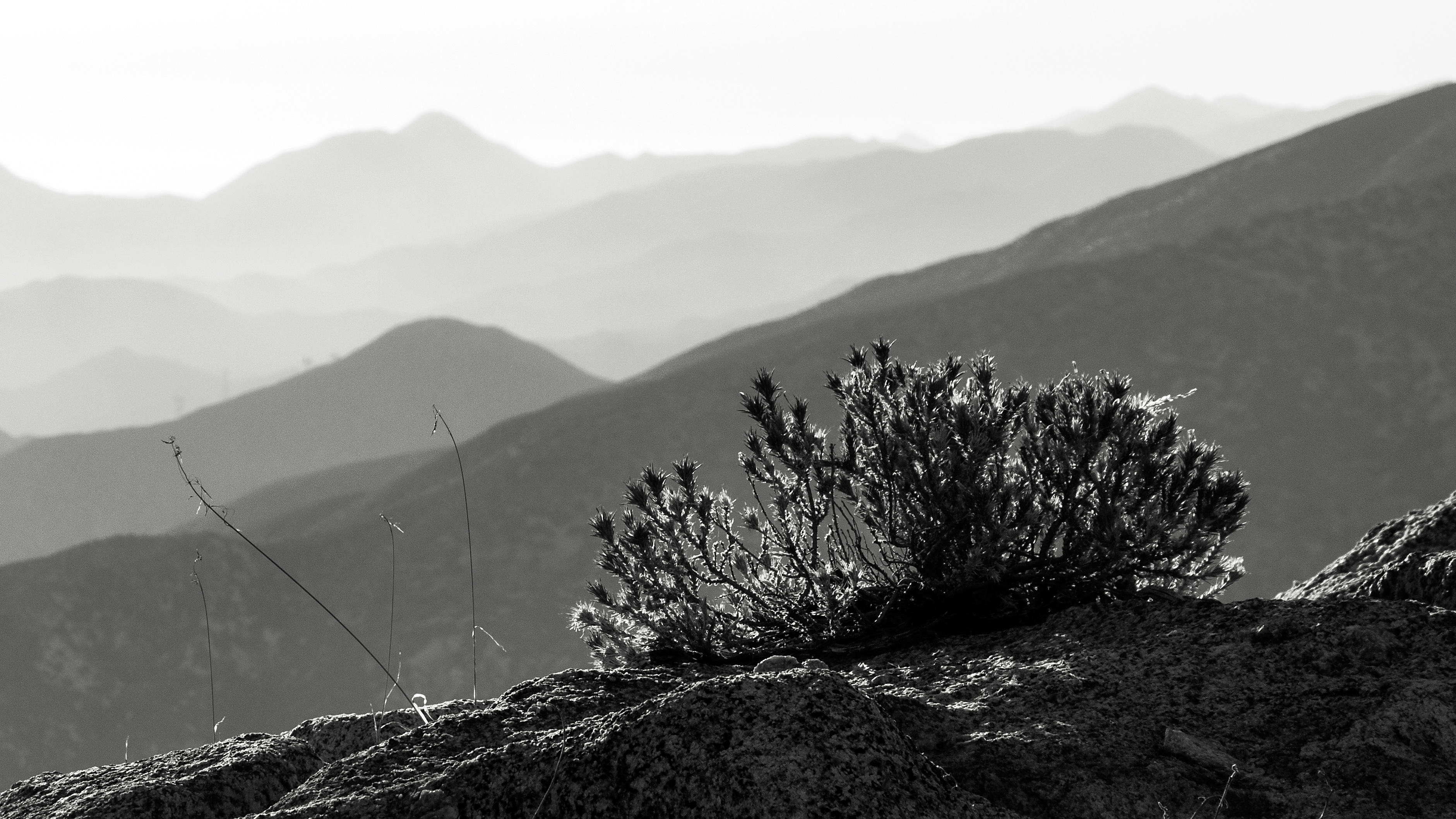
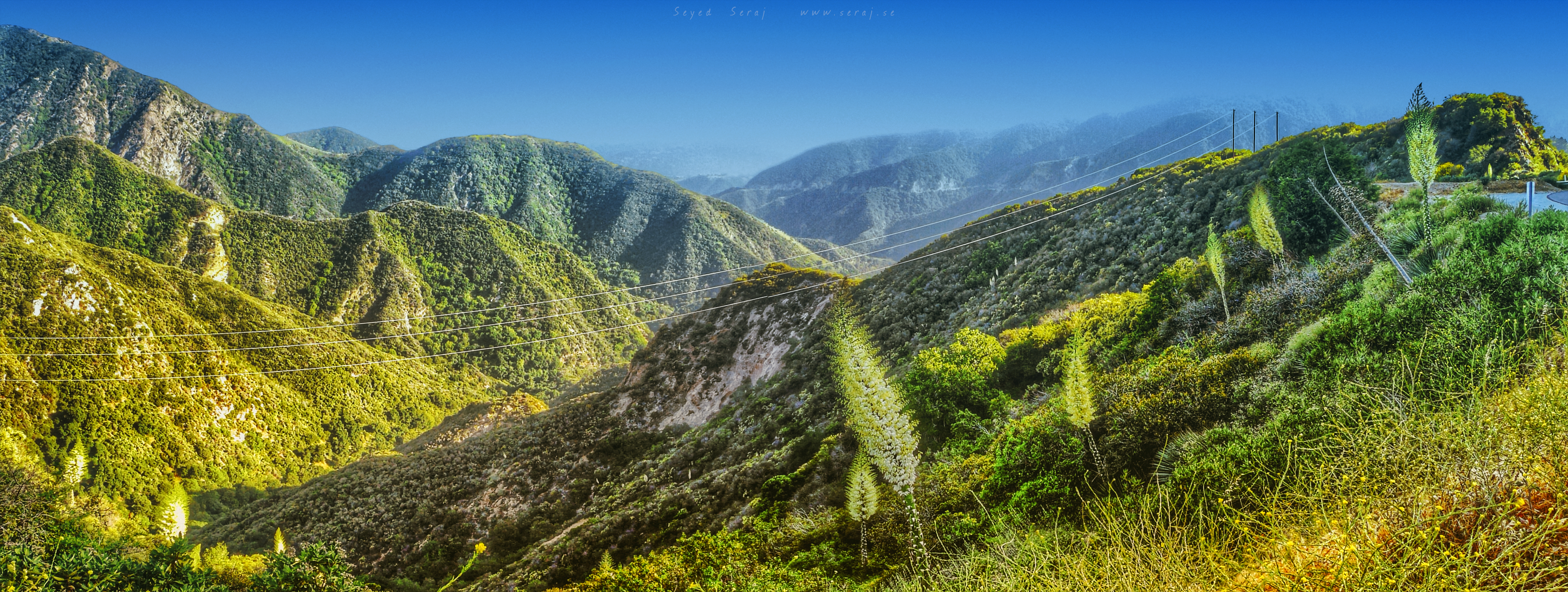
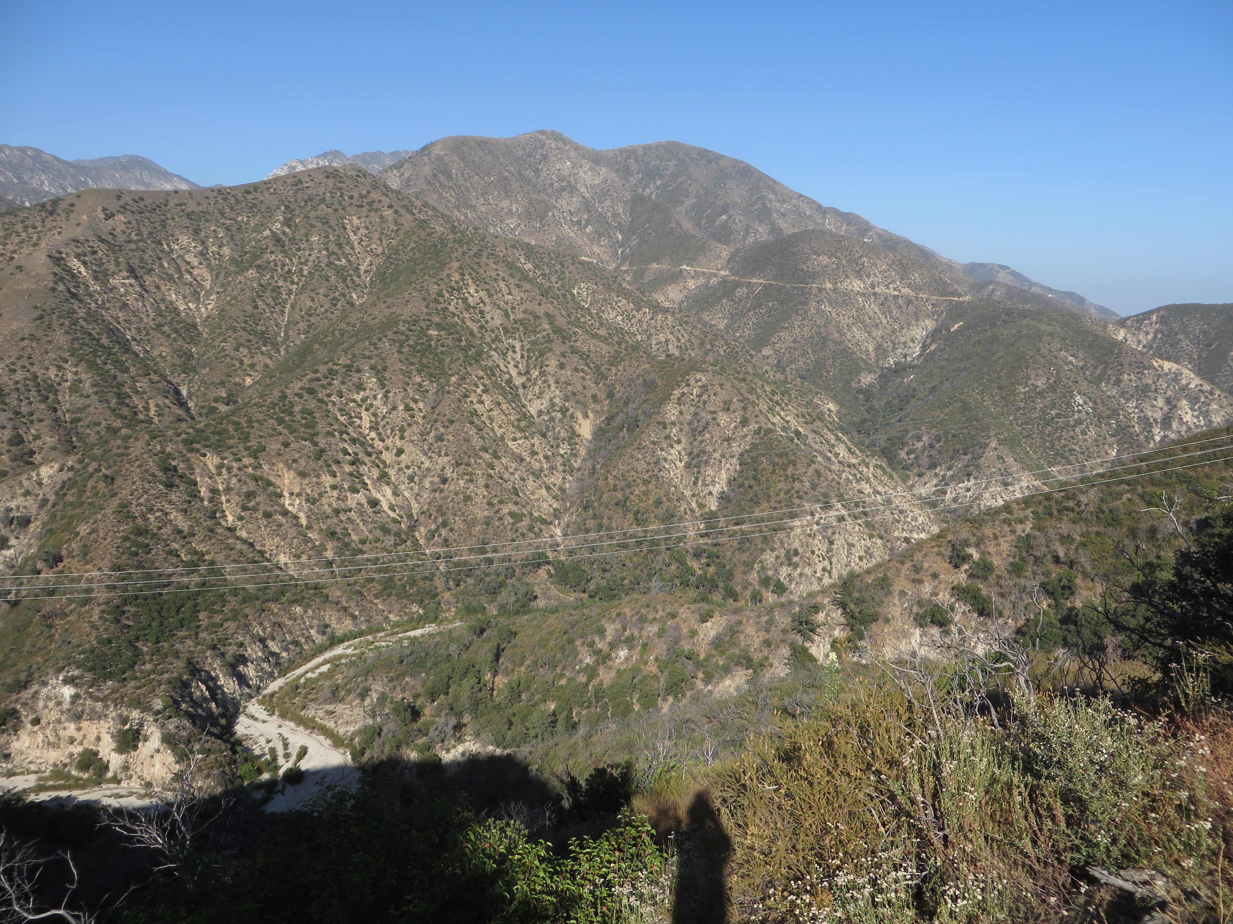
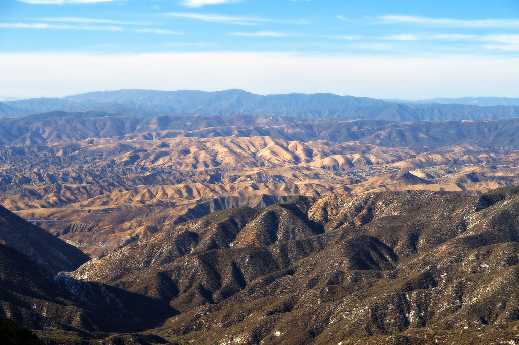
Edge of the Angeles
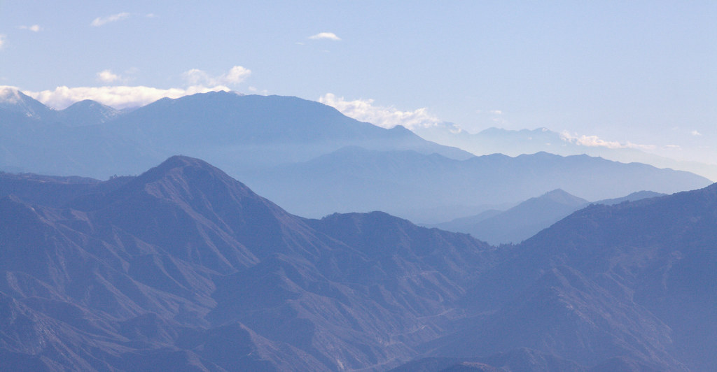
Blue Mountains

Golden Poodle Dog

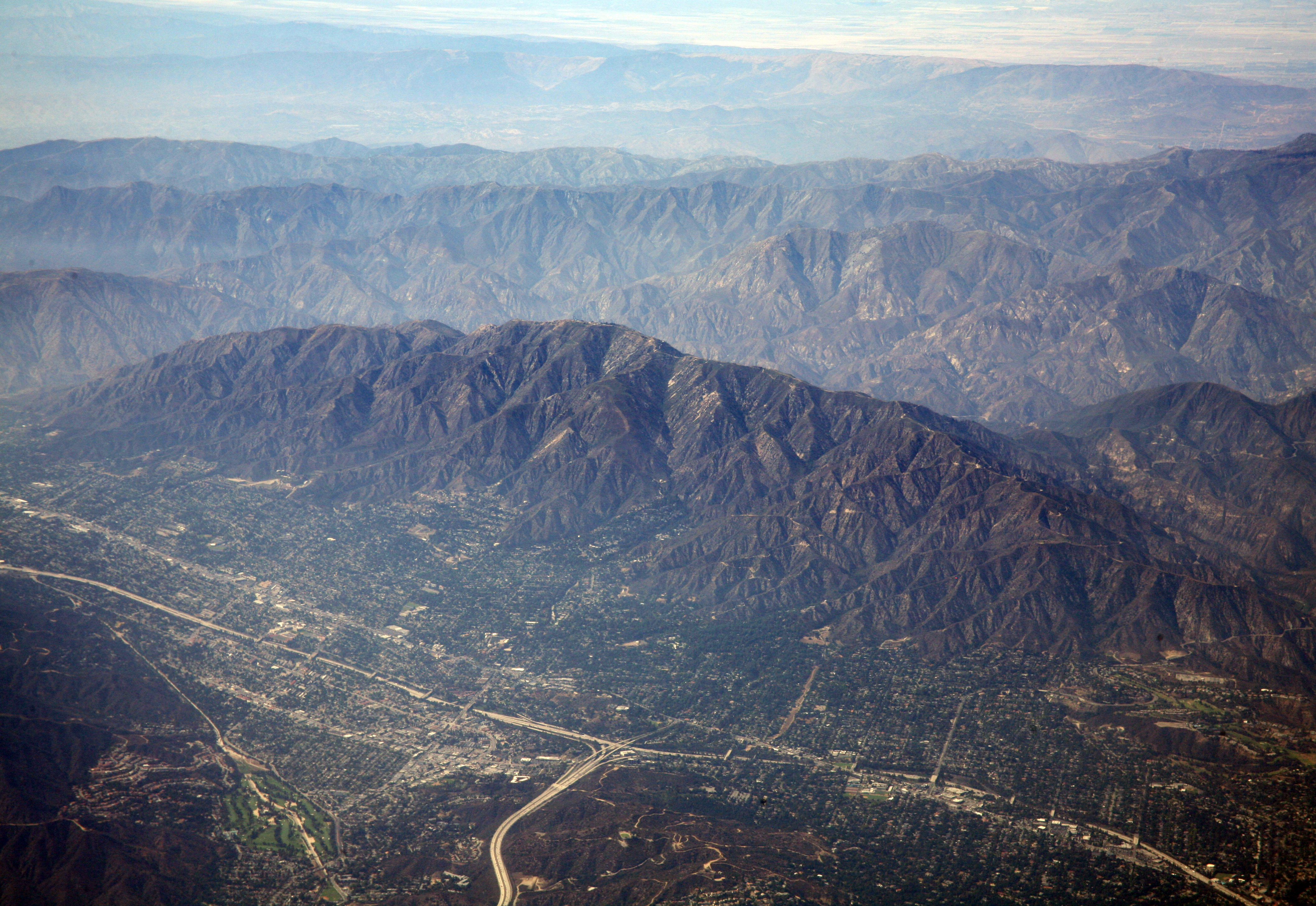
East Los Angeles
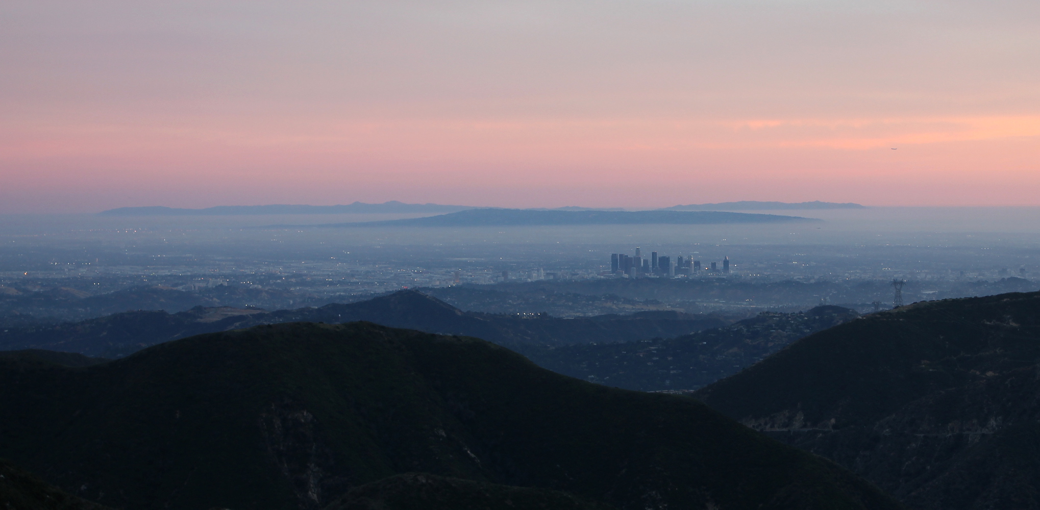
Clouds and Snow - A Typical LA Sunrise
Twilight Angels
Los Angeles from Mount Deception on Christmas Day
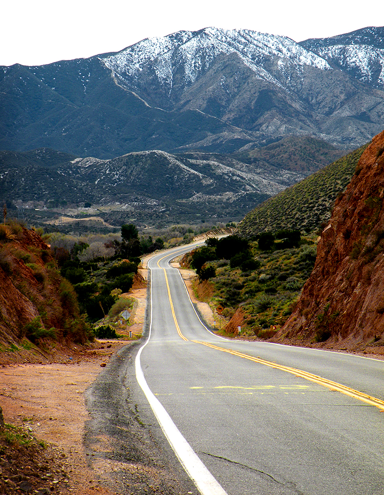
Soledad Canyon Road
Afternoon Memory
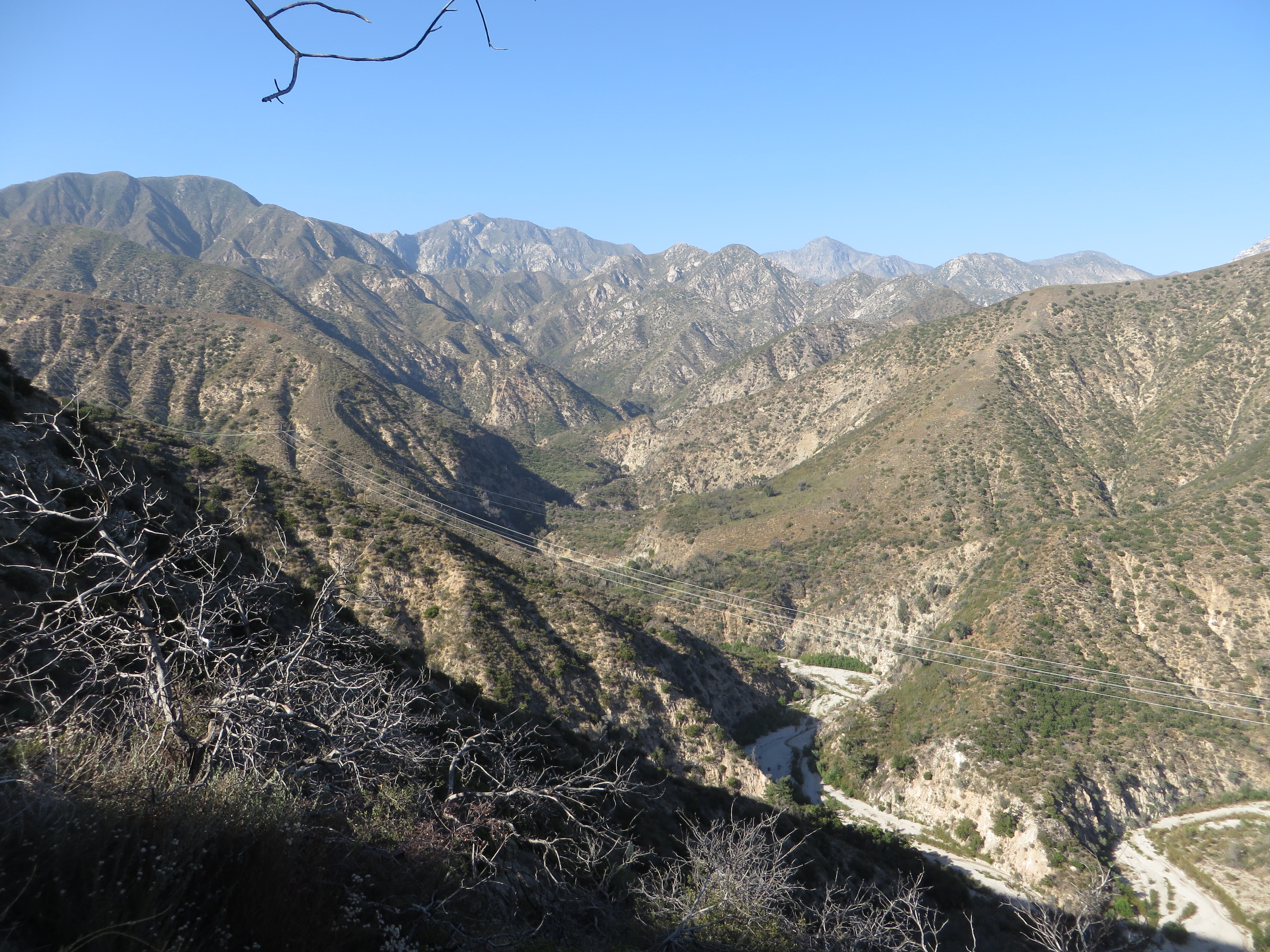
View North
Topographic Map of Mount Gleason, Mt Gleason, California, USA
Find elevation by address:

Places near Mount Gleason, Mt Gleason, California, USA:
28603 Bootlegger Canyon Rd
5030 Maryhill Rd
Angeles Forest Hwy, Palmdale, CA, USA
4700 Crown Valley Rd
Acton / Los Angeles North Koa
Soledad Canyon Rd, Santa Clarita, CA, USA
Little Tujunga Canyon Rd, Sylmar, CA, USA
12651 Little Tujunga Canyon Rd
18760 Little Tujunga Canyon Rd
Kagel Canyon Road
El Merrie Del Dr, Sylmar, CA, USA
27024 Cliffie Way
29153 Poppy Meadow St
13584 Shablow Ave
13135 Mira Mar Dr
14006 Tucker Ave
14028 Candlewood Dr
28971 Oak Springs Canyon Rd
12723 Daventry St
16600 Road Runner Rd
Recent Searches:
- Elevation of Corso Fratelli Cairoli, 35, Macerata MC, Italy
- Elevation of Tallevast Rd, Sarasota, FL, USA
- Elevation of 4th St E, Sonoma, CA, USA
- Elevation of Black Hollow Rd, Pennsdale, PA, USA
- Elevation of Oakland Ave, Williamsport, PA, USA
- Elevation of Pedrógão Grande, Portugal
- Elevation of Klee Dr, Martinsburg, WV, USA
- Elevation of Via Roma, Pieranica CR, Italy
- Elevation of Tavkvetili Mountain, Georgia
- Elevation of Hartfords Bluff Cir, Mt Pleasant, SC, USA