Elevation of Maryhill Rd, Acton, CA, USA
Location: United States > California > Los Angeles County > Acton >
Longitude: -118.22150
Latitude: 34.4262761
Elevation: 842m / 2762feet
Barometric Pressure: 92KPa
Elevation Map:
Satellite Map:
Related Photos:

Orange Laser

Vasquez Rocks on a Blood Moon Night
A View of the Aqueduct

2/365

Ring Macro

Super Blood Wolf Moon
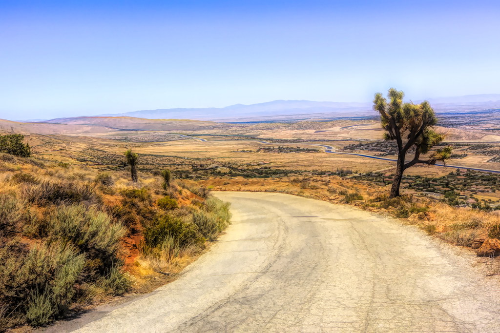
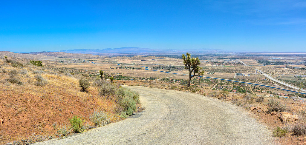
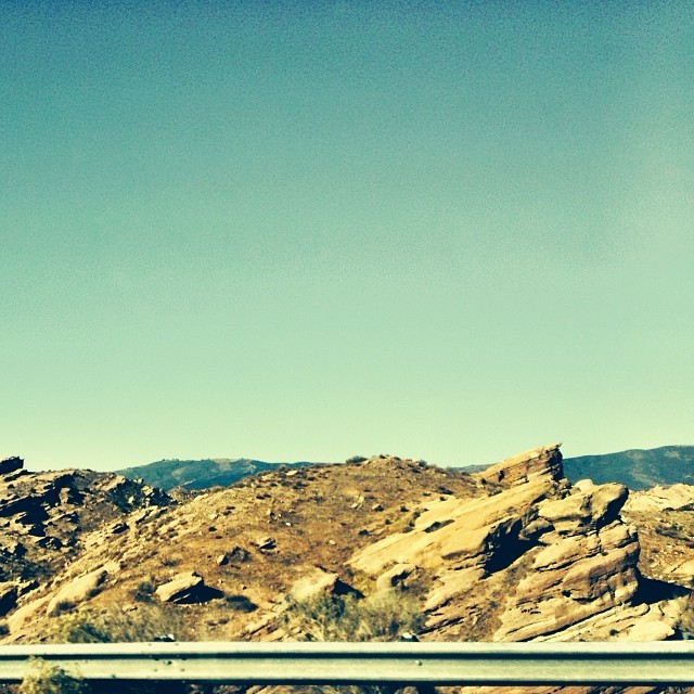
Downhill Desert Road
Pointing Clouds

Vasquez Rocks: Near Car Park
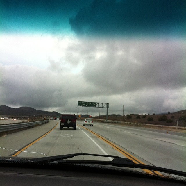
Southbound on Soledad
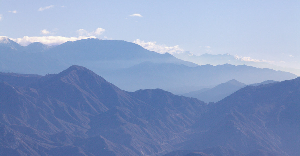
Blue Mountains
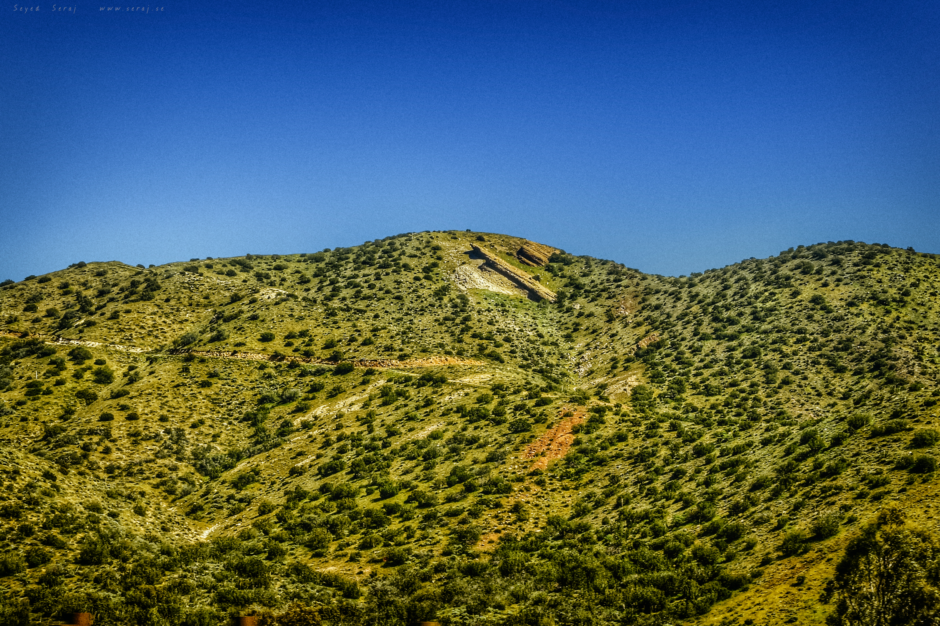
Fuego - Aqua Dulce
Amazing view heading down the 14fwy... Look out East LA coming at you...
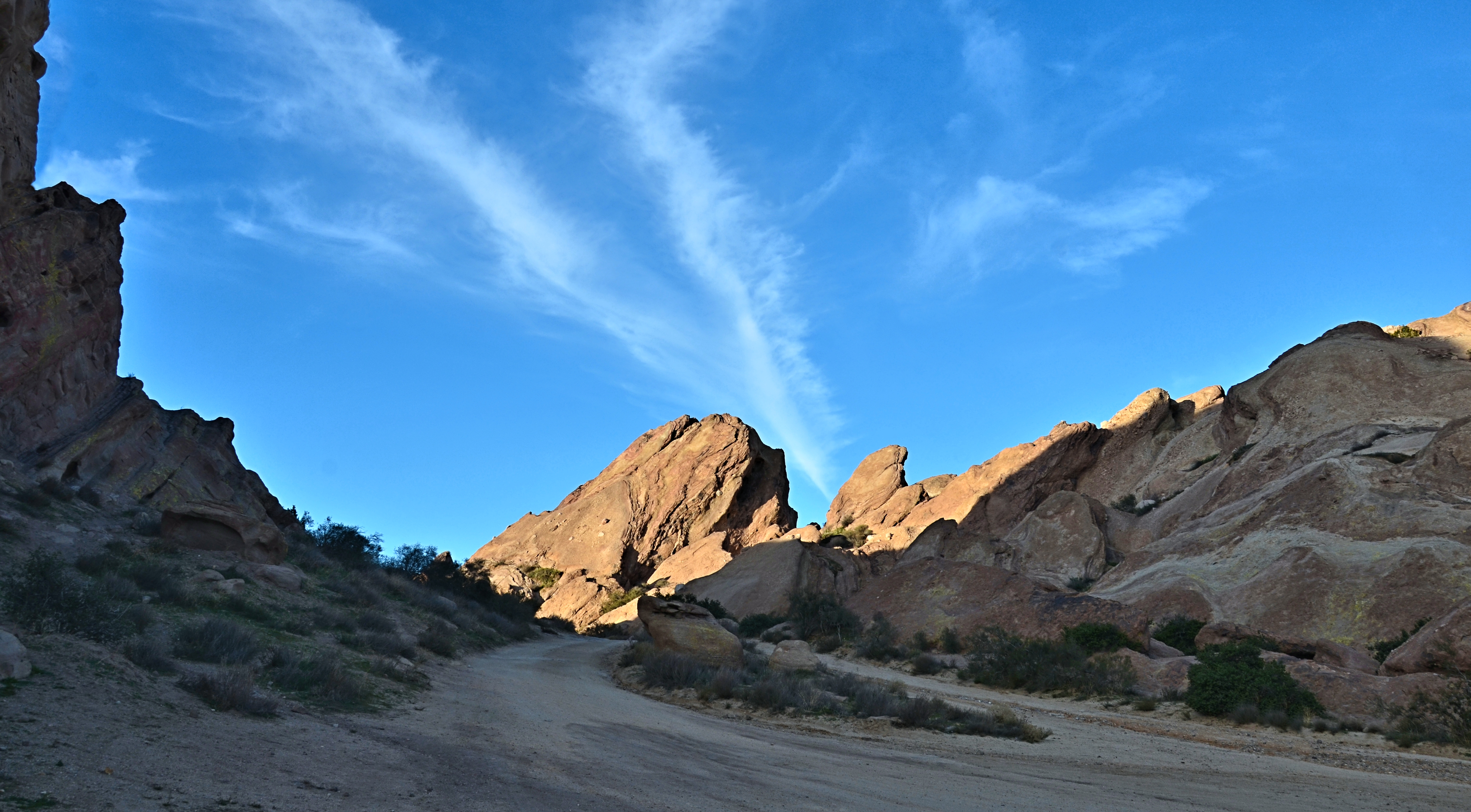
Vasquez Rocks: View while climbing
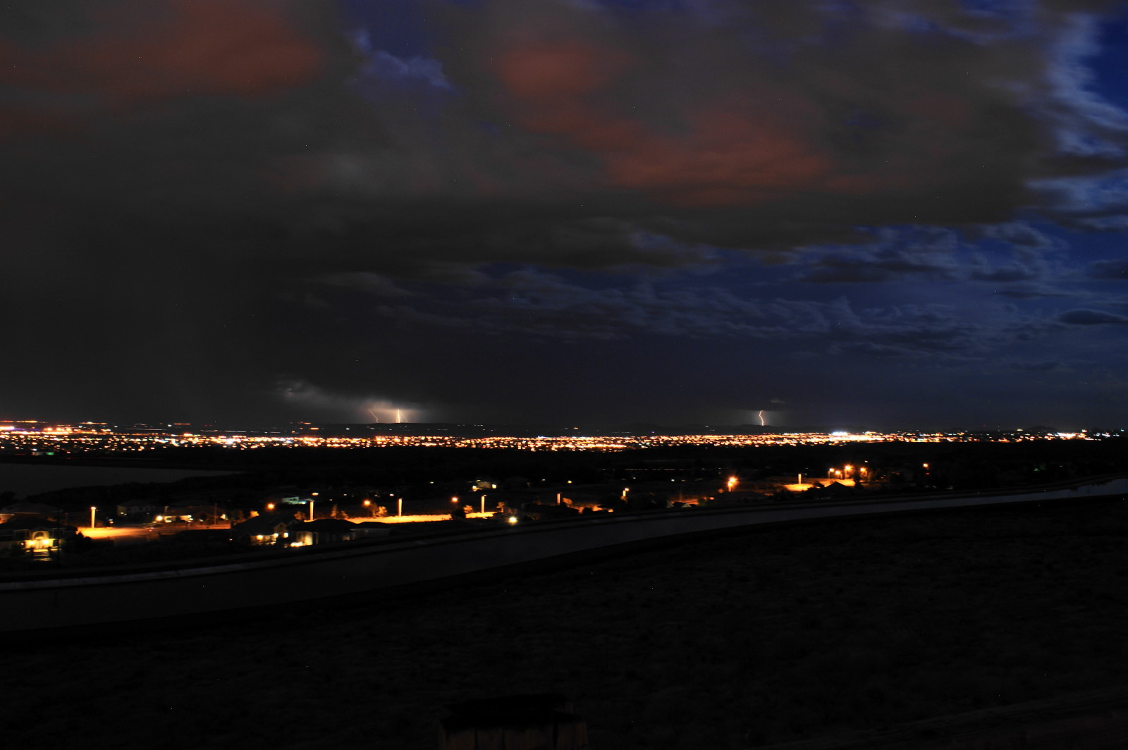
Thunderstorms over the Antelope Valley
Thunderstorms over the Antelope Valley

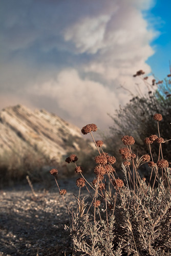
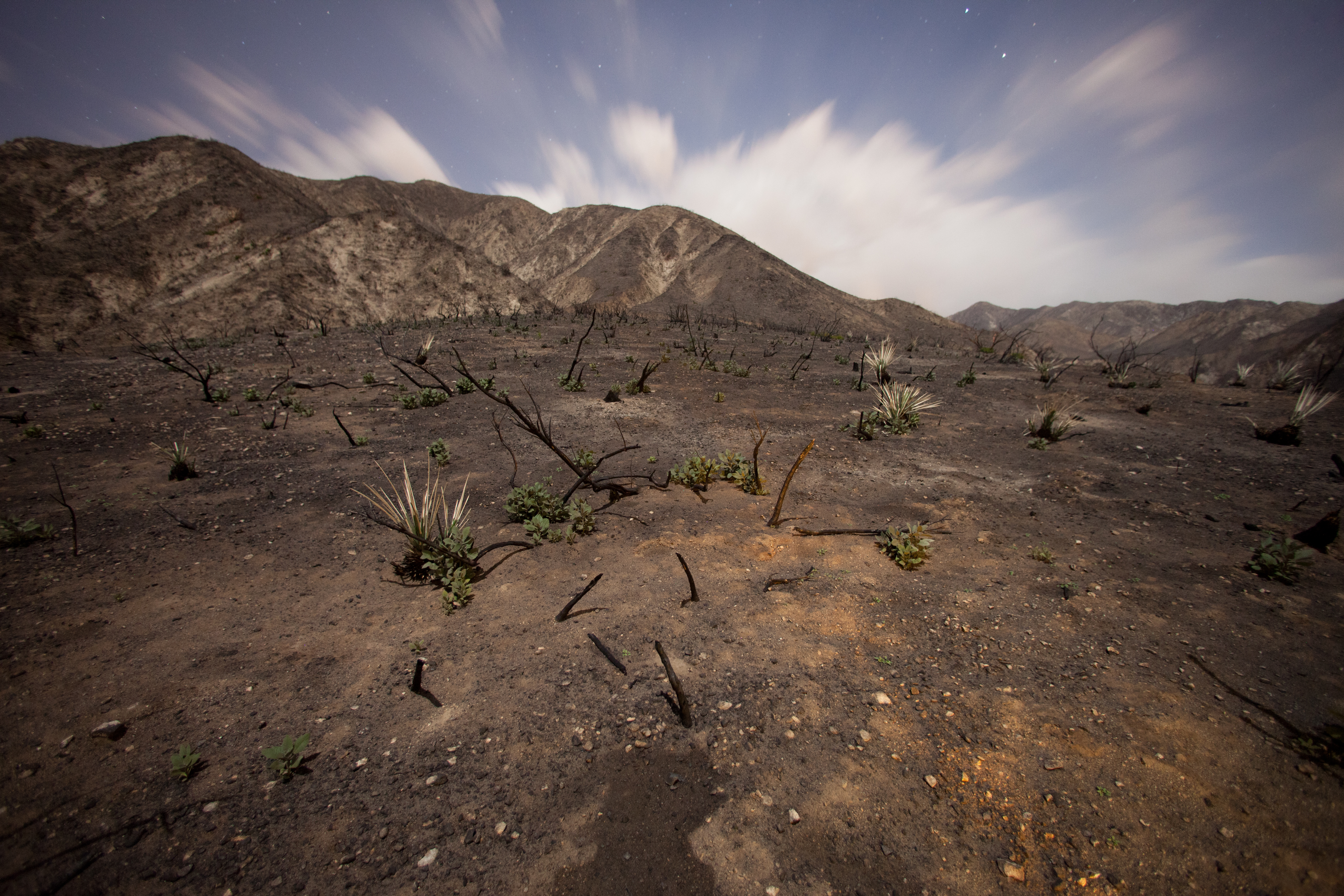
Burned and Boiled
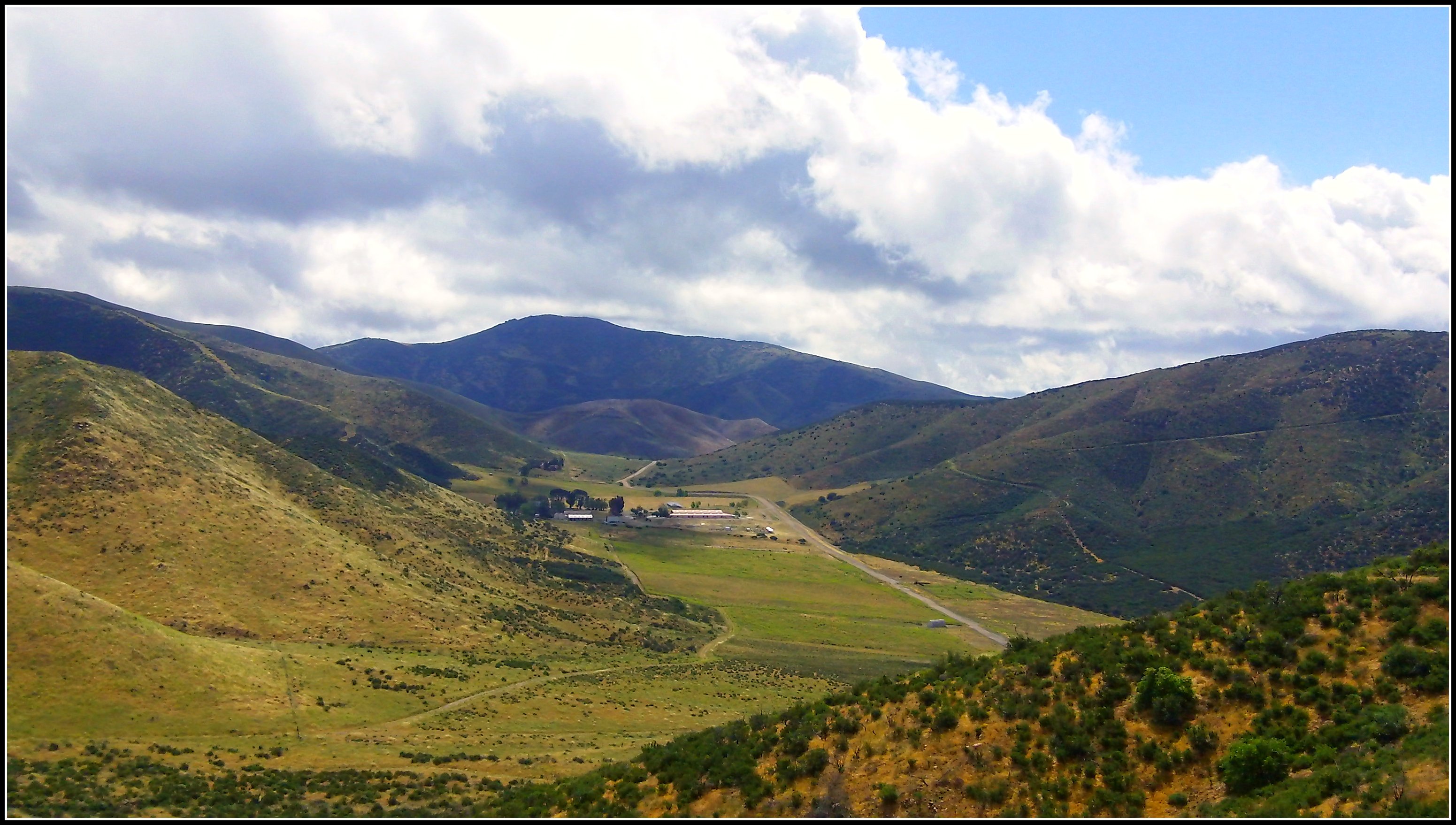
Ritter Ranch Park view from PCT
Look Into the Sky
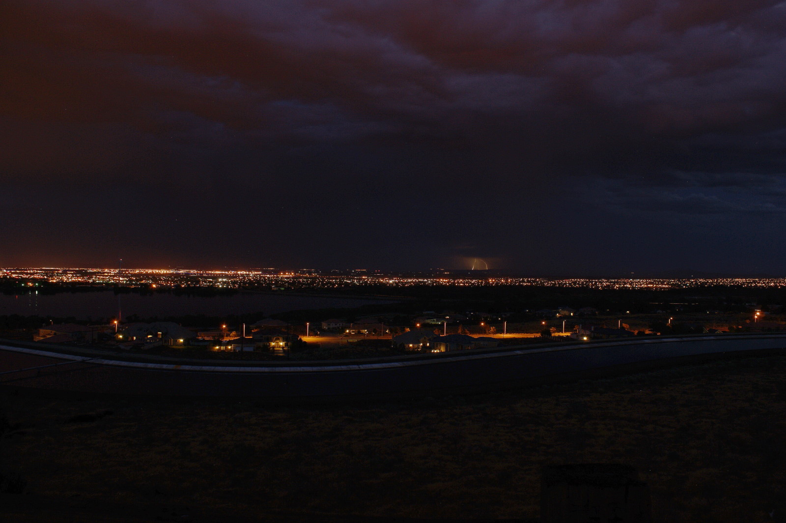
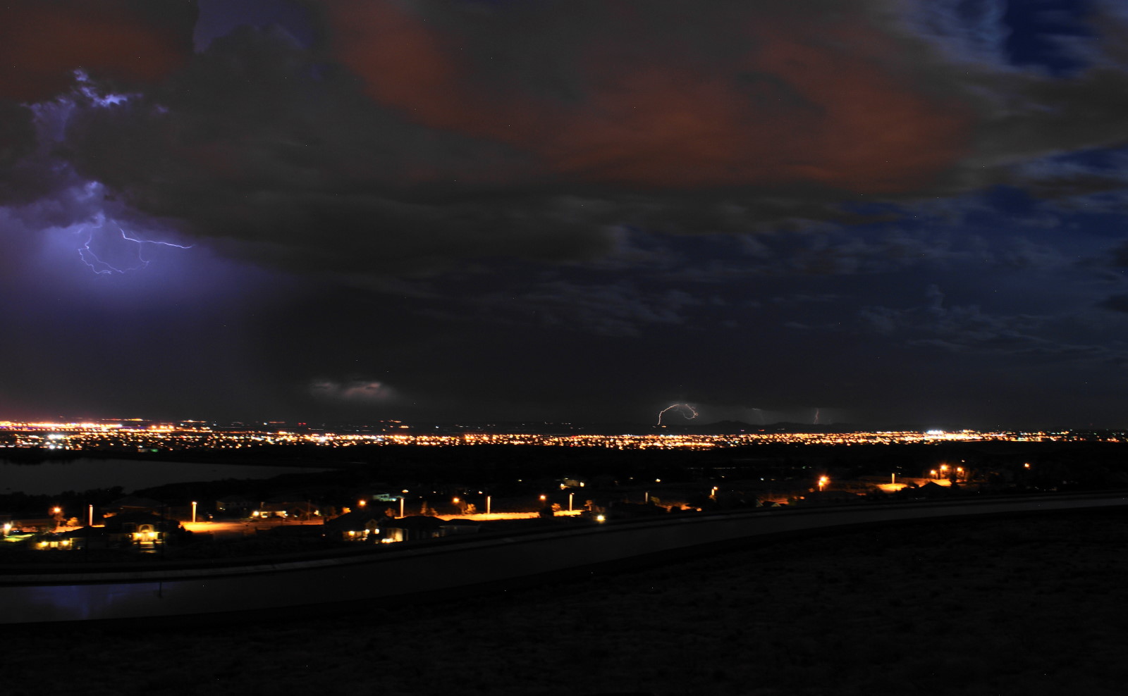
Thunderstorms over the Antelope Valley

Thunderstorms over the Antelope Valley

agua dulce rocks

Crown Valley Road

Gorn Free
@goldenlucille

Moonrise over Vasquez Rocks
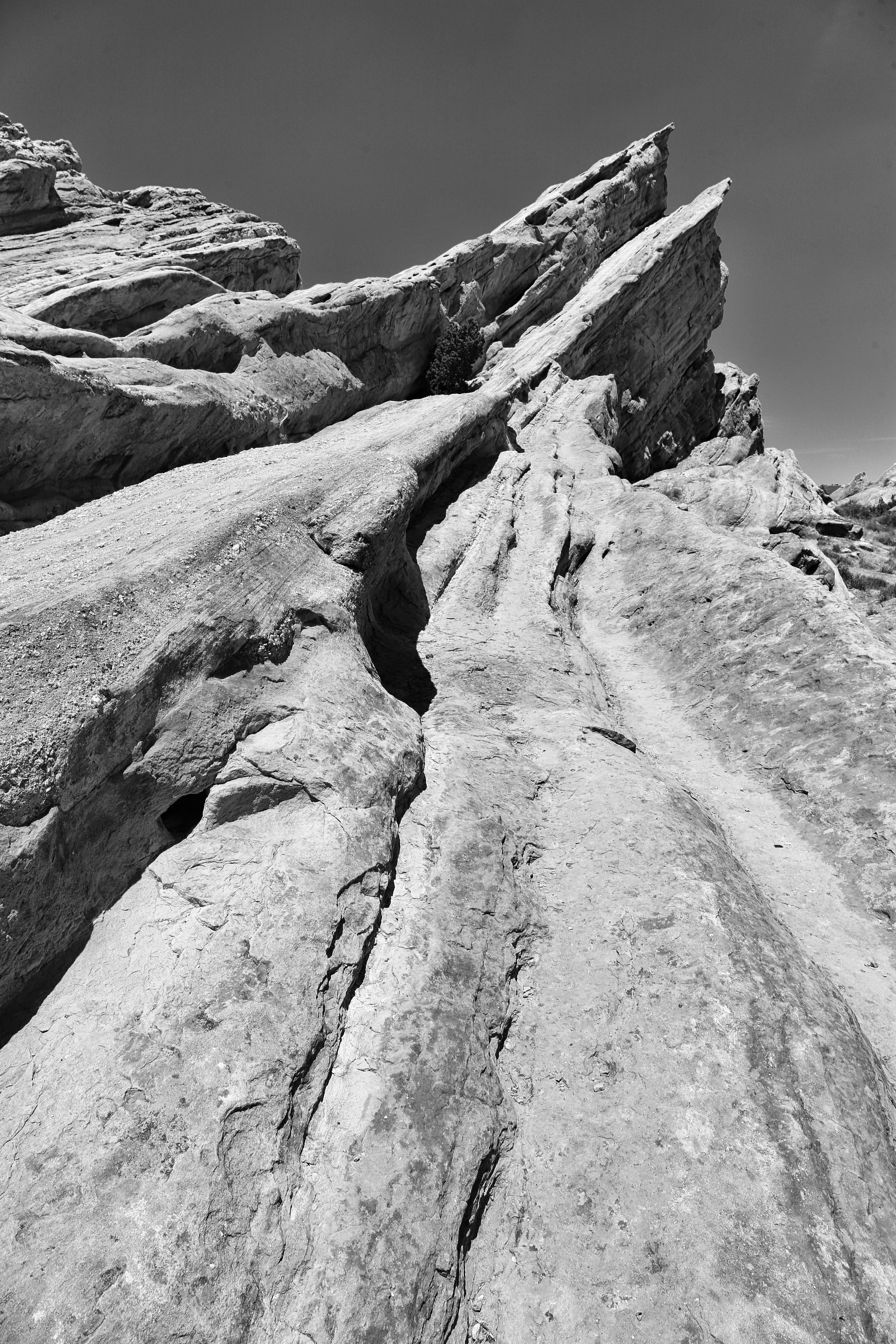
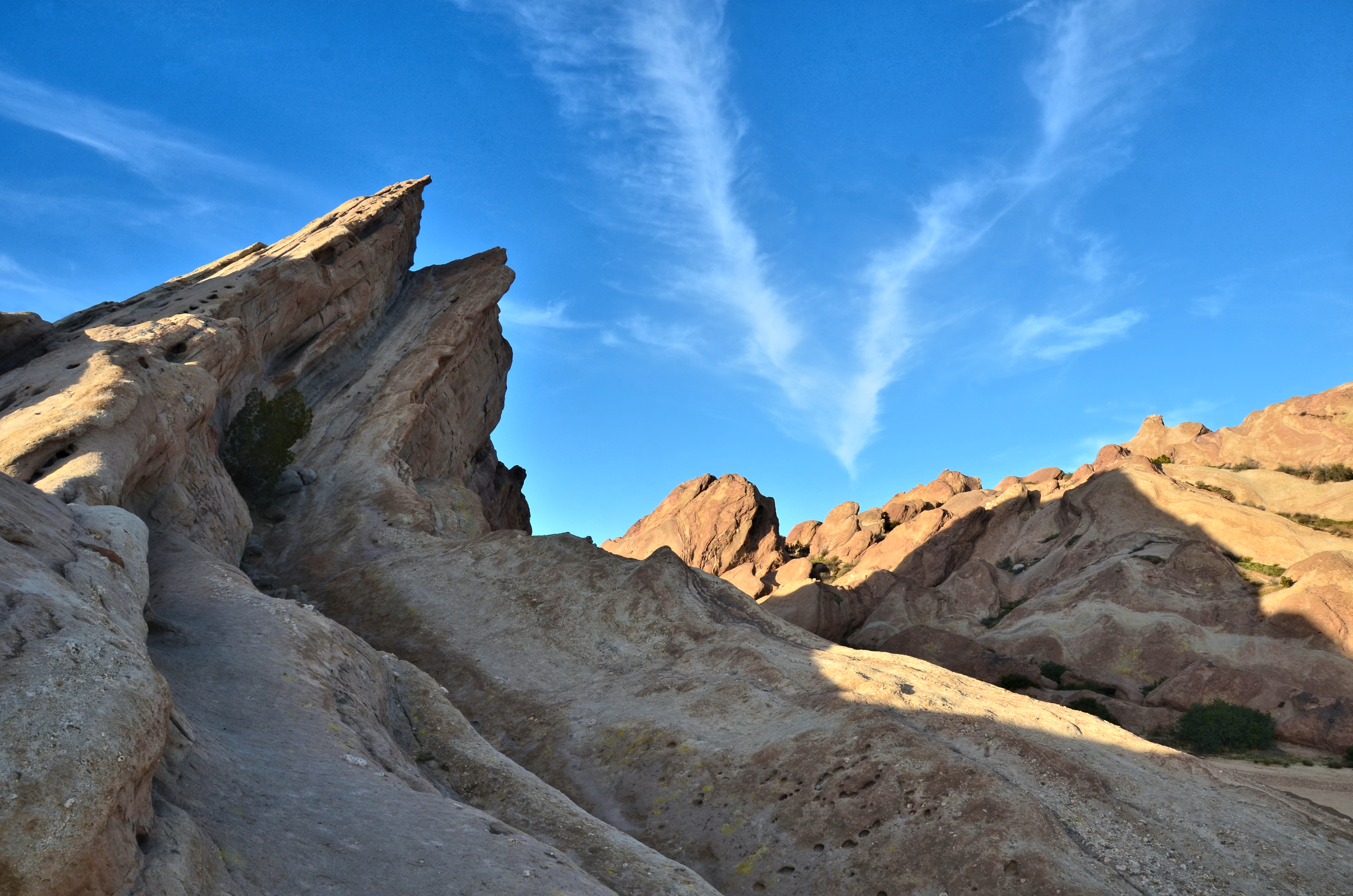
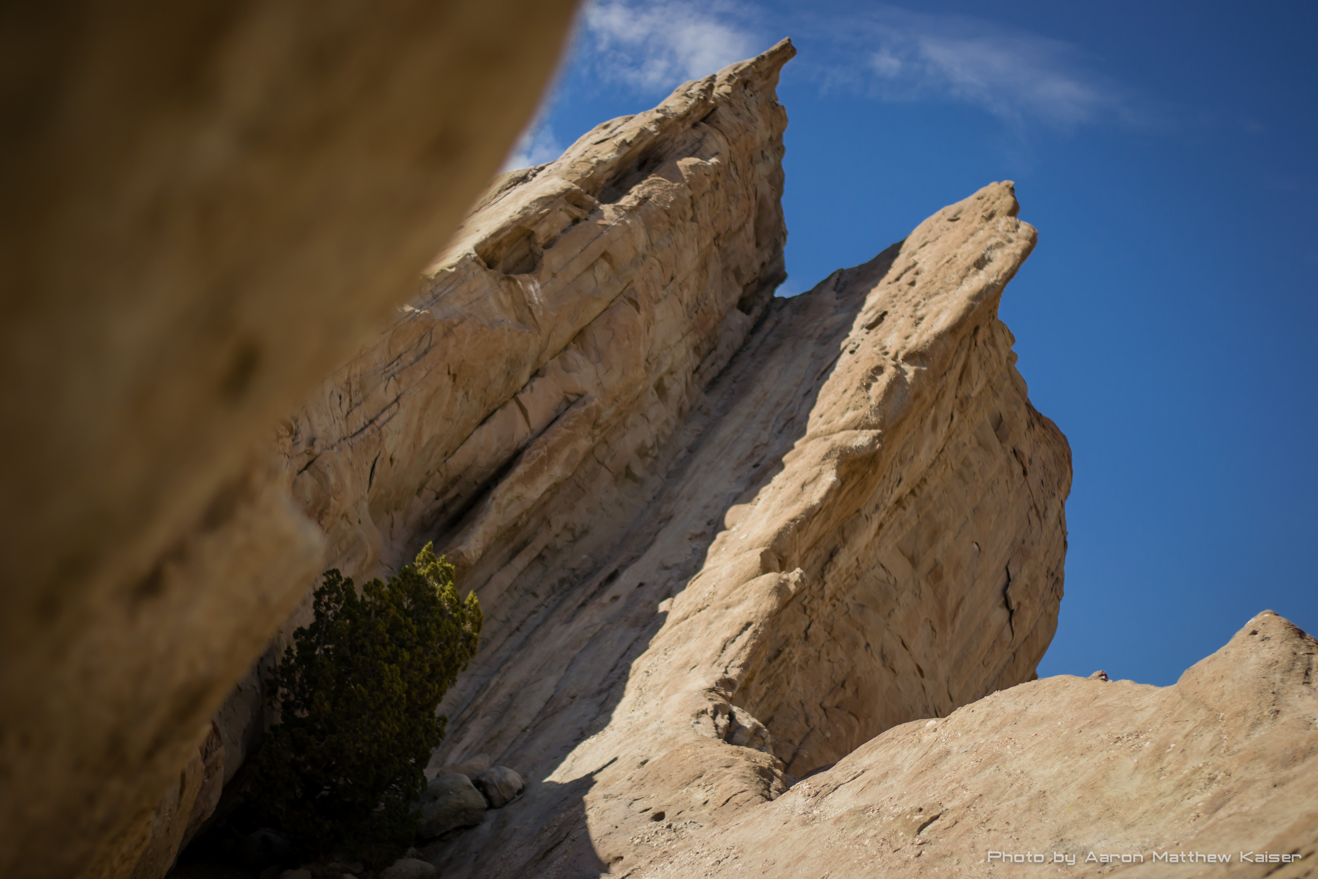
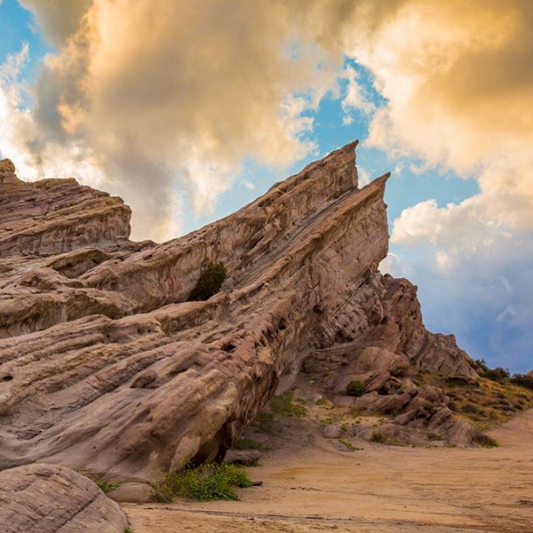
Vasquez Rocks

Vasquez Rocks Pano

Vasquez Rocks
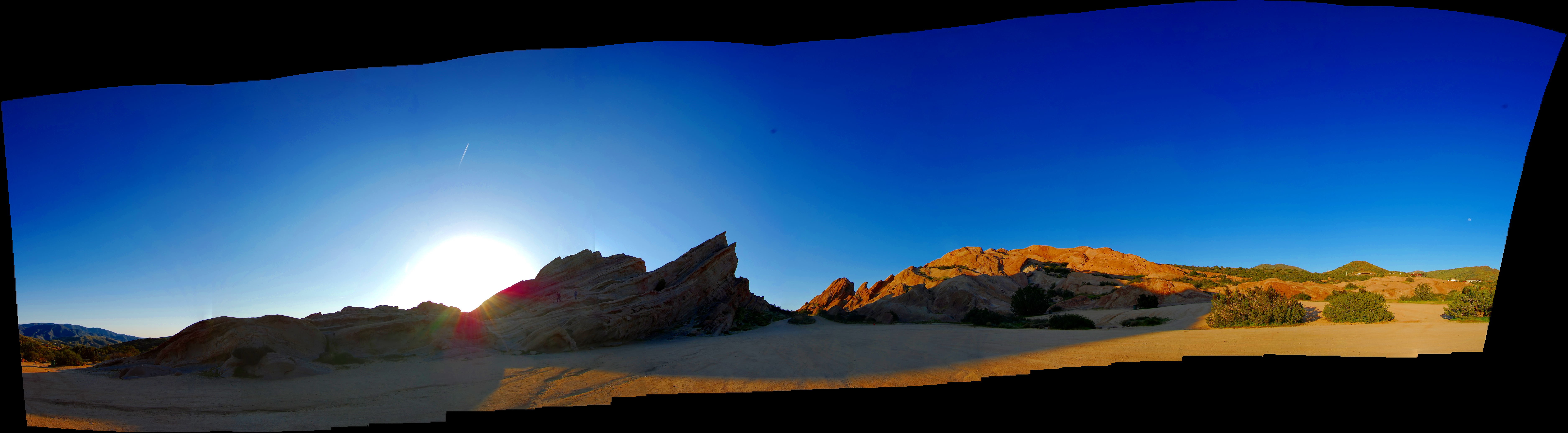
Vasquez Rocks Pano
2009-03-31_14-54-33_IMG_9408_q75_s10
Vasquez Rocks.
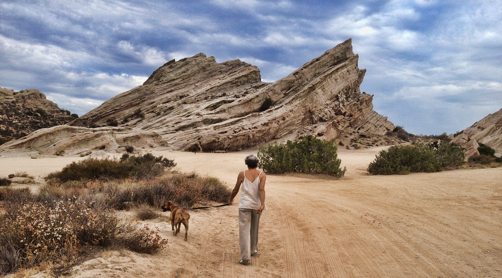
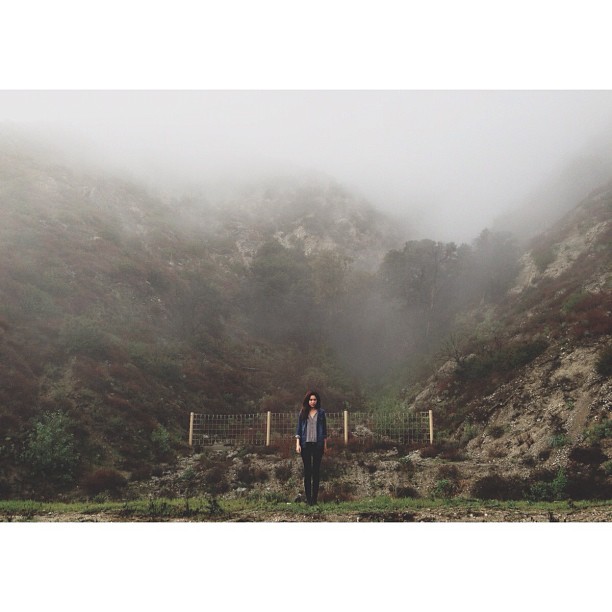
Sunday morning walk in Vasquez Rocks

2013-03-28 Vasquez Rocks Park in Aqua Dulce, CA
Big Tujunga Canyon

2013-03-28 Vasquez Rocks Park in Aqua Dulce, CA

May your #Saturday #rock.
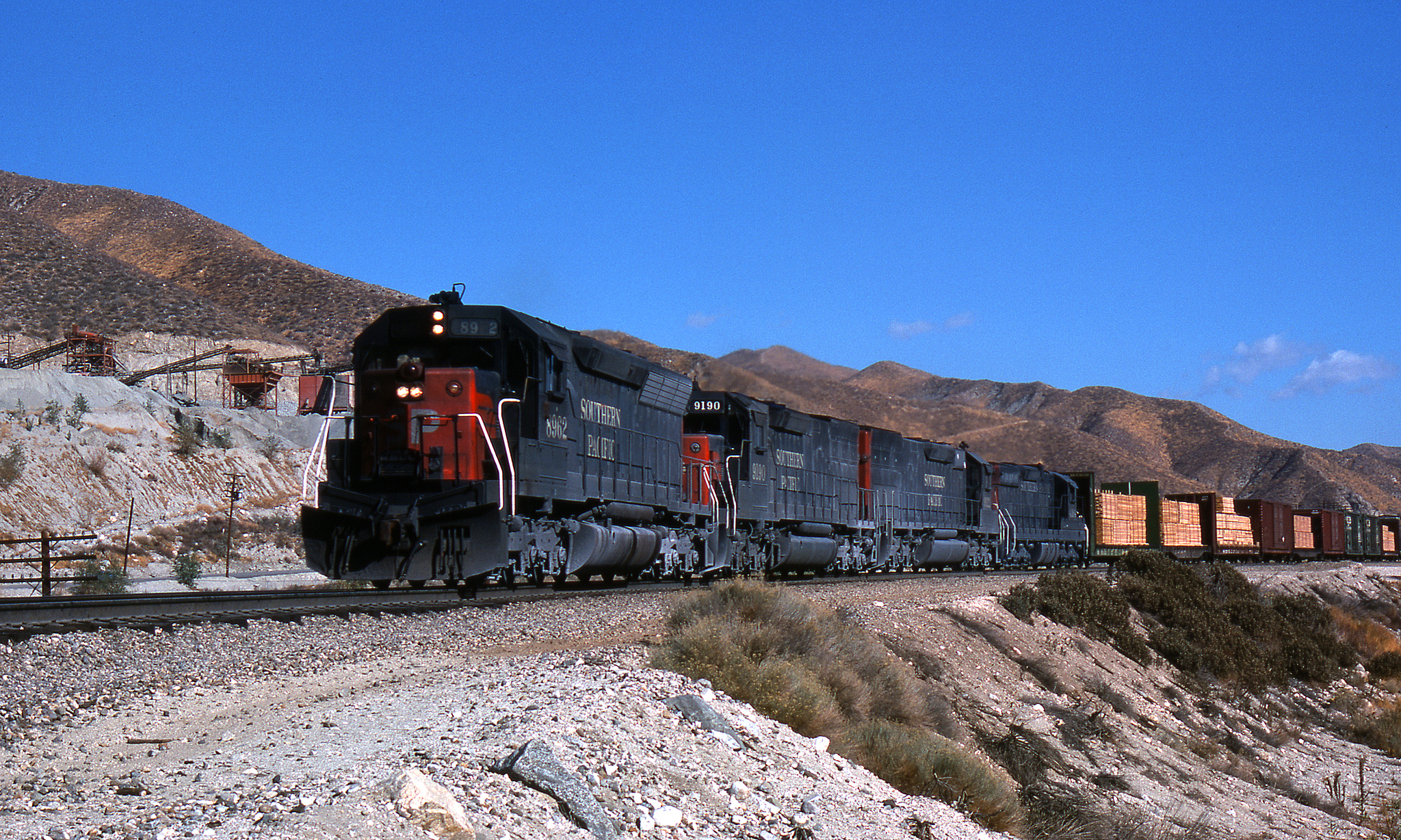
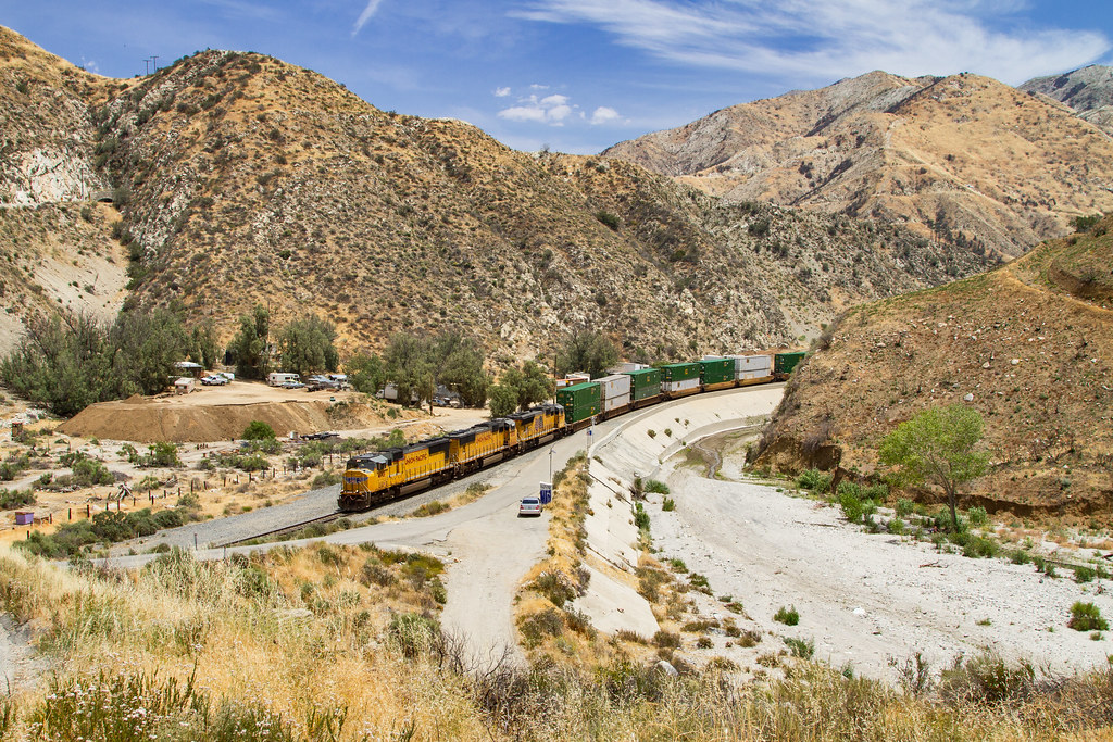
SP in Soledad Cny
Rocks on rocks on rocks
Topographic Map of Maryhill Rd, Acton, CA, USA
Find elevation by address:

Places near Maryhill Rd, Acton, CA, USA:
28603 Bootlegger Canyon Rd
4700 Crown Valley Rd
Acton / Los Angeles North Koa
Mount Gleason
Soledad Canyon Rd, Santa Clarita, CA, USA
Angeles Forest Hwy, Palmdale, CA, USA
Little Tujunga Canyon Rd, Sylmar, CA, USA
18760 Little Tujunga Canyon Rd
29153 Poppy Meadow St
27024 Cliffie Way
12651 Little Tujunga Canyon Rd
28971 Oak Springs Canyon Rd
Kagel Canyon Road
El Merrie Del Dr, Sylmar, CA, USA
16600 Road Runner Rd
28779 Winterdale Dr
Gazeley St, Canyon Country, CA, USA
28753 Winterdale Dr
26647 Loop Ave
28101 Winterdale Dr
Recent Searches:
- Elevation of 7 Waterfall Way, Tomball, TX, USA
- Elevation of SW 57th Ave, Portland, OR, USA
- Elevation of Crocker Dr, Vacaville, CA, USA
- Elevation of Pu Ngaol Community Meeting Hall, HWHM+3X7, Krong Saen Monourom, Cambodia
- Elevation of Royal Ontario Museum, Queens Park, Toronto, ON M5S 2C6, Canada
- Elevation of Groblershoop, South Africa
- Elevation of Power Generation Enterprises | Industrial Diesel Generators, Oak Ave, Canyon Country, CA, USA
- Elevation of Chesaw Rd, Oroville, WA, USA
- Elevation of N, Mt Pleasant, UT, USA
- Elevation of 6 Rue Jules Ferry, Beausoleil, France