Elevation of Acton / Los Angeles North KOA, Soledad Canyon Rd, Acton, CA, United States
Location: United States > California > Los Angeles County > Acton >
Longitude: -118.26916
Latitude: 34.437954
Elevation: 680m / 2231feet
Barometric Pressure: 93KPa
Elevation Map:
Satellite Map:
Related Photos:

Bill Stover
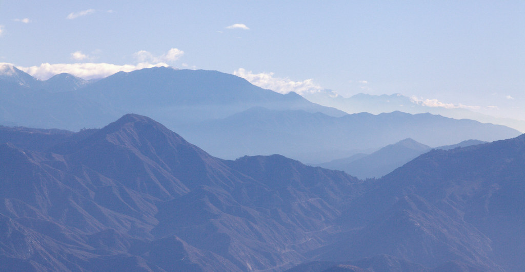
Blue Mountains
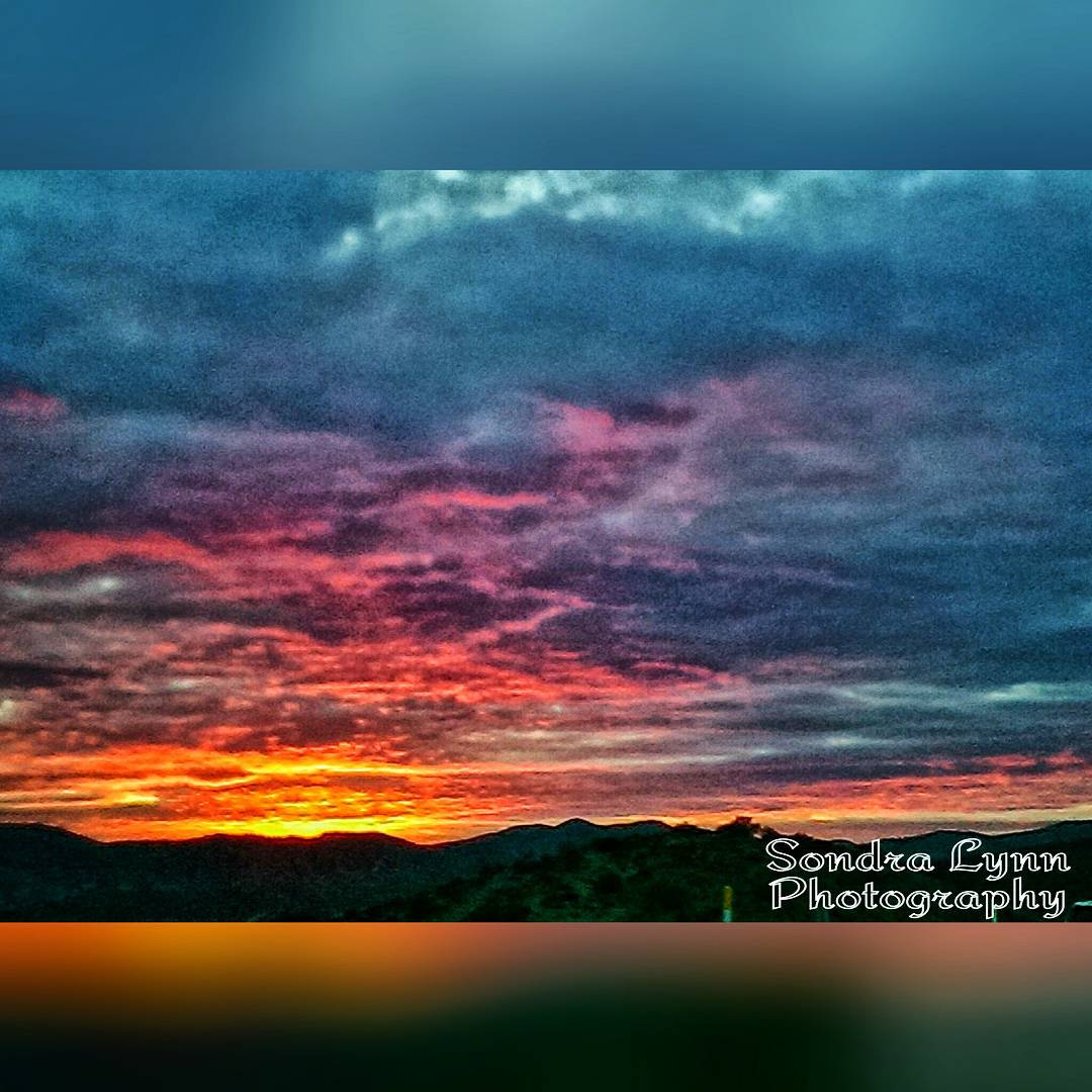
Beautiful sunset while driving down the 14 #Freeway toward #Newhall, #California #Photolife #Sondralynnphotography #sky #sunset #colors #clouds #views #cold #outside #America #beautiful #nature

1ST RAIN IN 6 MONTHS (EXPLORE 2014 Nov 7)
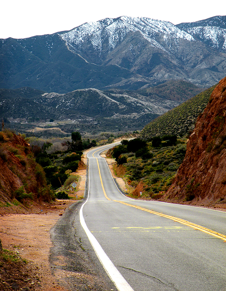
Soledad Canyon Road
Soledad Canyon Road View
View North

Oak Springs Trail 6-2-2012-003.jpg

Vasquez Rocks: Near Car Park

Orange Laser
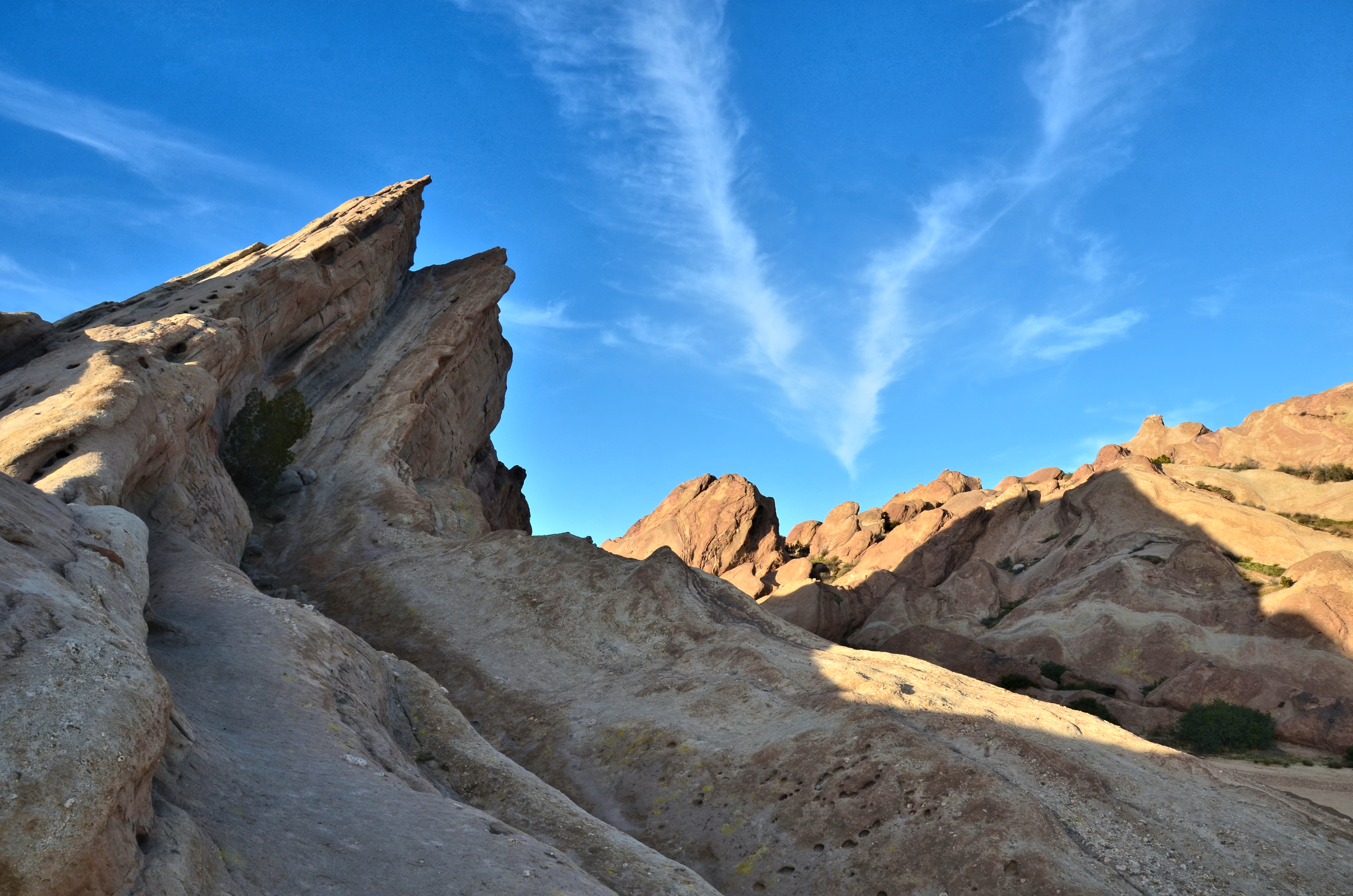
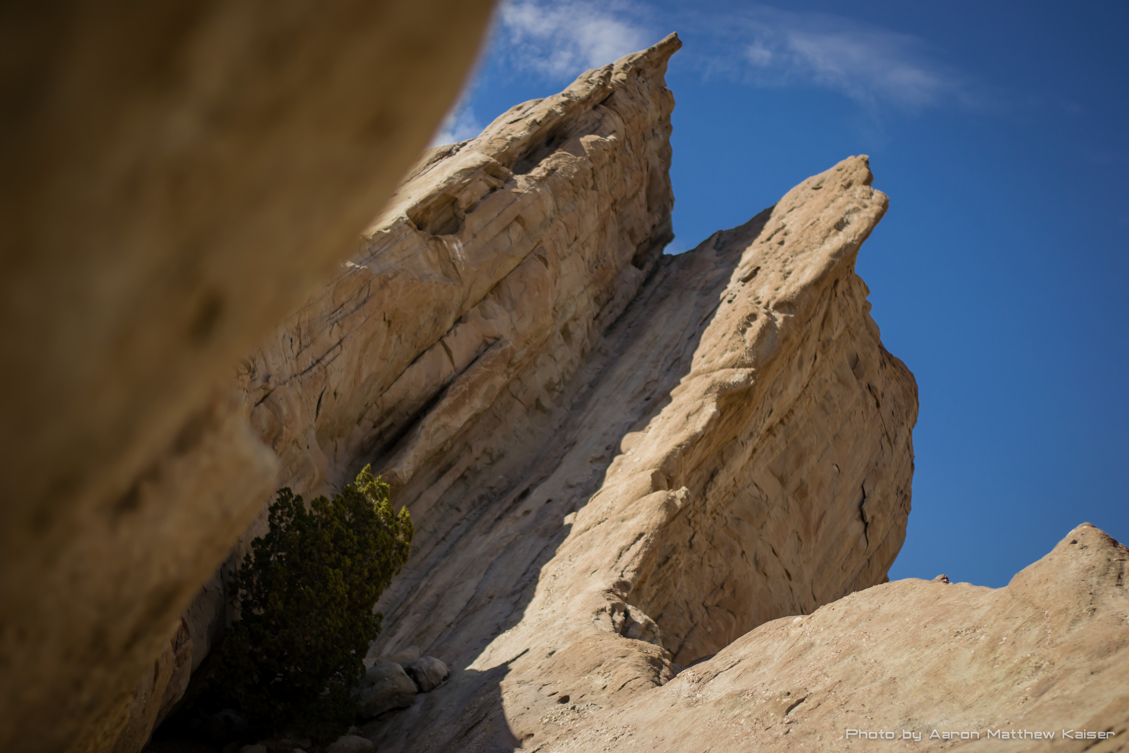
Vasquez Rocks: View while climbing

Vasquez Rocks: Coloured Swirls & Clouds
Vasquez Rocks
Fuego - Aqua Dulce
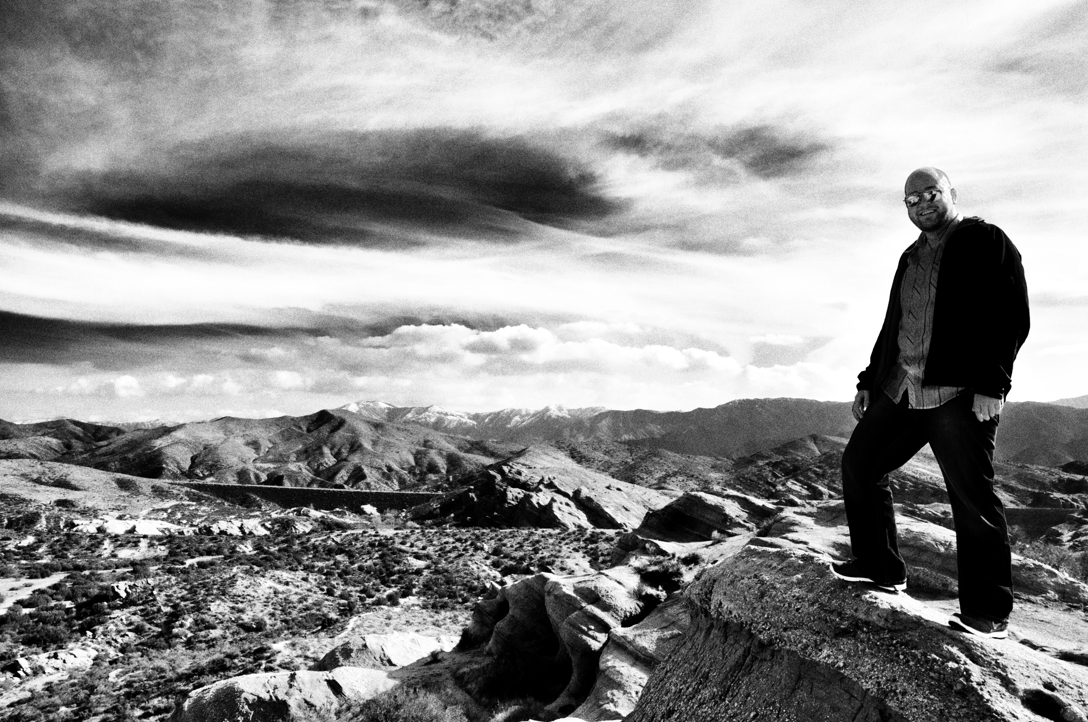
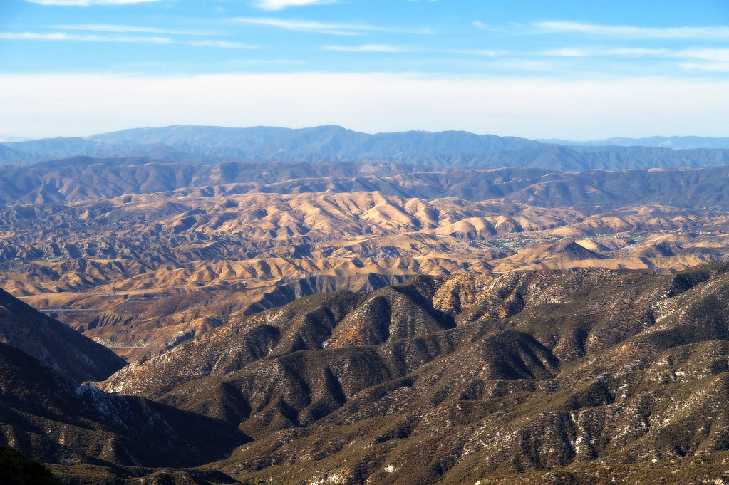
A great view of Southern California

View from Above
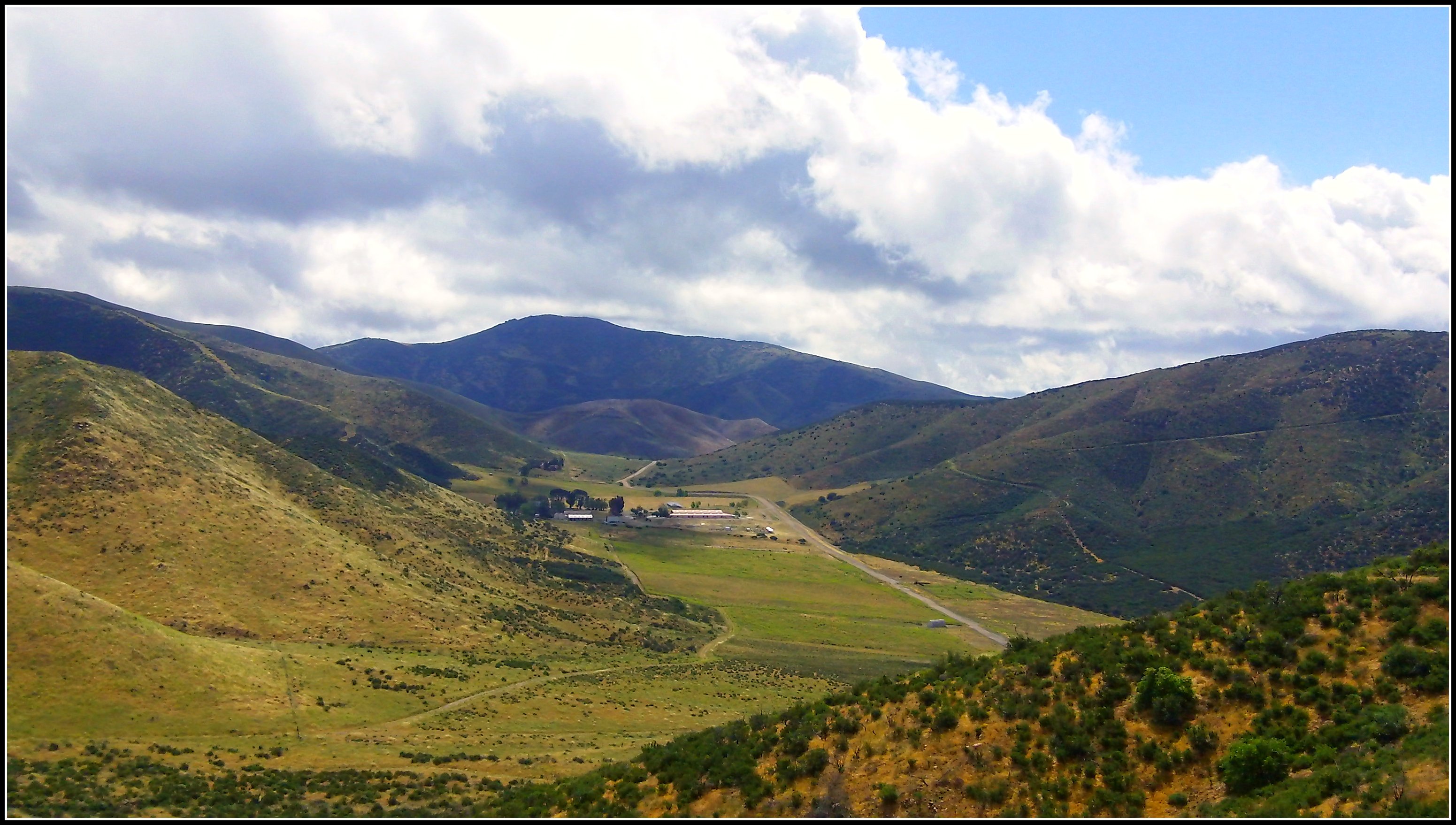
Ritter Ranch Park view from PCT

Final Look Back

View from Vasquez Rocks in northern Los Angeles County, CA
Look Into the Sky
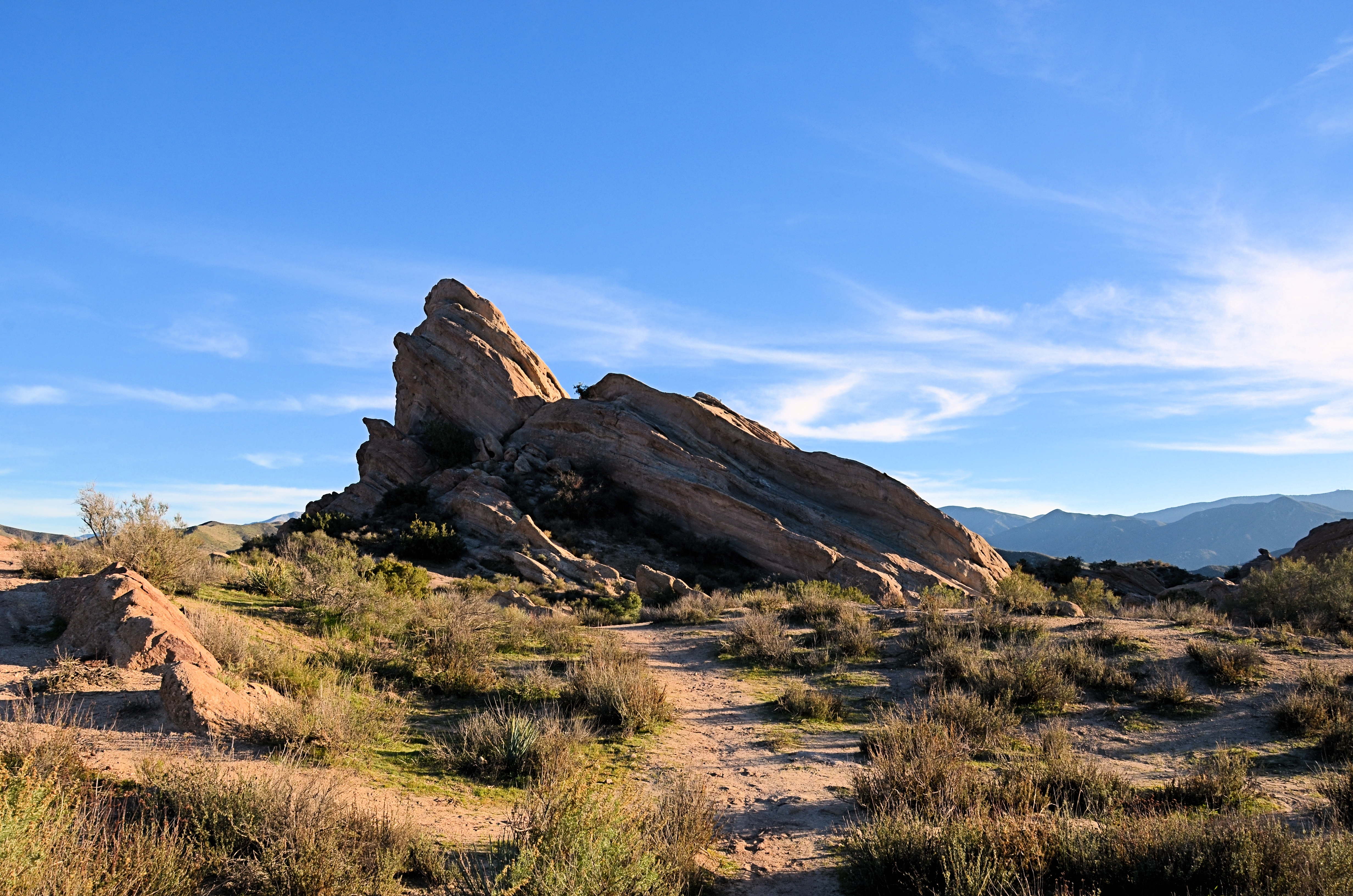
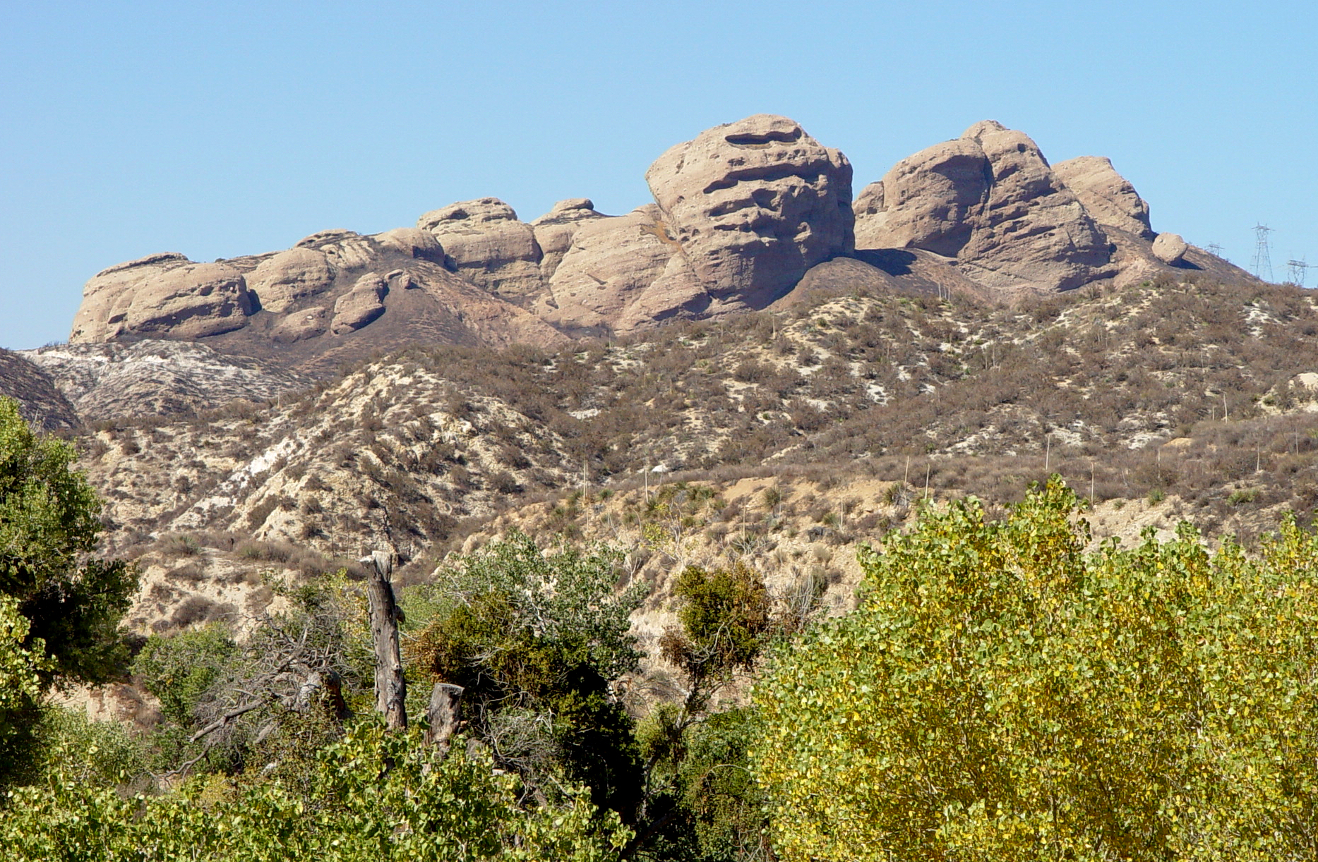
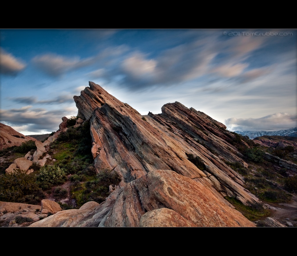
Vasquez Rocks: The Rocks
Topographic Map of Acton / Los Angeles North KOA, Soledad Canyon Rd, Acton, CA, United States
Find elevation by address:

Places near Acton / Los Angeles North KOA, Soledad Canyon Rd, Acton, CA, United States:
5030 Maryhill Rd
Soledad Canyon Rd, Santa Clarita, CA, USA
4700 Crown Valley Rd
28603 Bootlegger Canyon Rd
Mount Gleason
Little Tujunga Canyon Rd, Sylmar, CA, USA
29153 Poppy Meadow St
27024 Cliffie Way
18760 Little Tujunga Canyon Rd
28971 Oak Springs Canyon Rd
16600 Road Runner Rd
Gazeley St, Canyon Country, CA, USA
28779 Winterdale Dr
28753 Winterdale Dr
12651 Little Tujunga Canyon Rd
17197 Sierra Hwy
28101 Winterdale Dr
26647 Loop Ave
Bonnie View Ave, Santa Clarita, CA, USA
Kagel Canyon Road
Recent Searches:
- Elevation of Corso Fratelli Cairoli, 35, Macerata MC, Italy
- Elevation of Tallevast Rd, Sarasota, FL, USA
- Elevation of 4th St E, Sonoma, CA, USA
- Elevation of Black Hollow Rd, Pennsdale, PA, USA
- Elevation of Oakland Ave, Williamsport, PA, USA
- Elevation of Pedrógão Grande, Portugal
- Elevation of Klee Dr, Martinsburg, WV, USA
- Elevation of Via Roma, Pieranica CR, Italy
- Elevation of Tavkvetili Mountain, Georgia
- Elevation of Hartfords Bluff Cir, Mt Pleasant, SC, USA