Elevation of Mount Cook, New Zealand
Location: New Zealand > Canterbury > Mackenzie District >
Longitude: 170.122137
Latitude: -43.910515
Elevation: 555m / 1821feet
Barometric Pressure: 95KPa
Elevation Map:
Satellite Map:
Related Photos:

The far hills.FZ200
Ice Wall
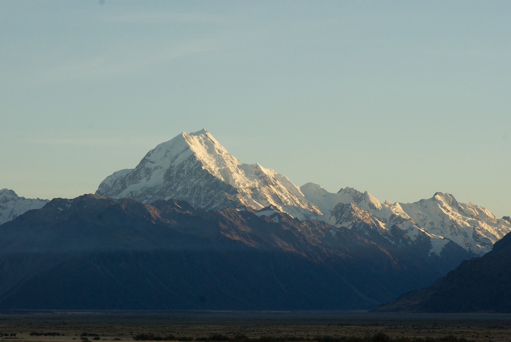
First (Light) to the Top

Mount Cook National Park
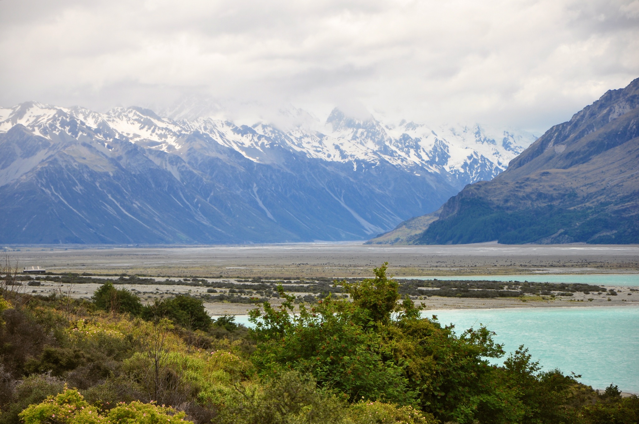
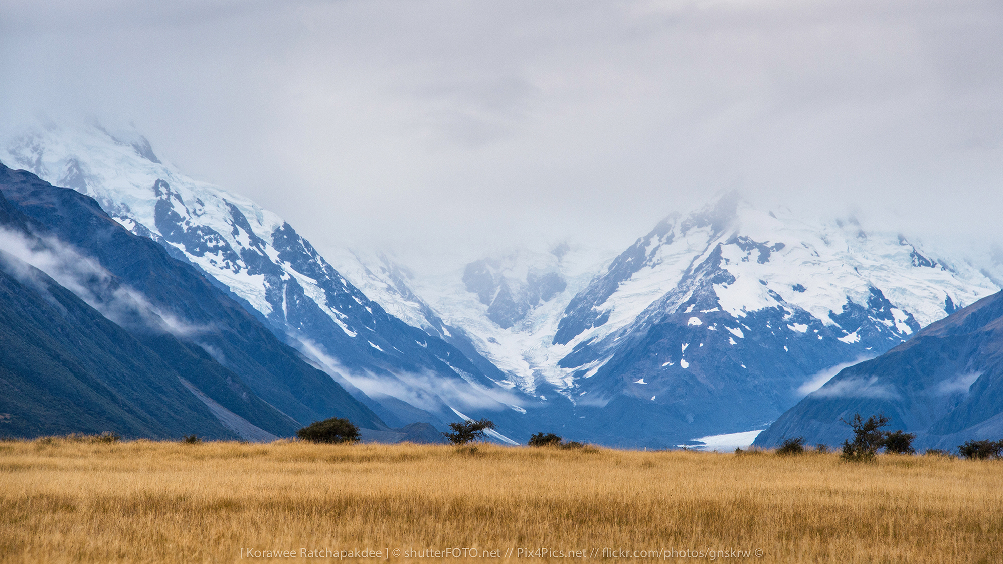
Tasman Valley View
The view out the cabin window

weedy view

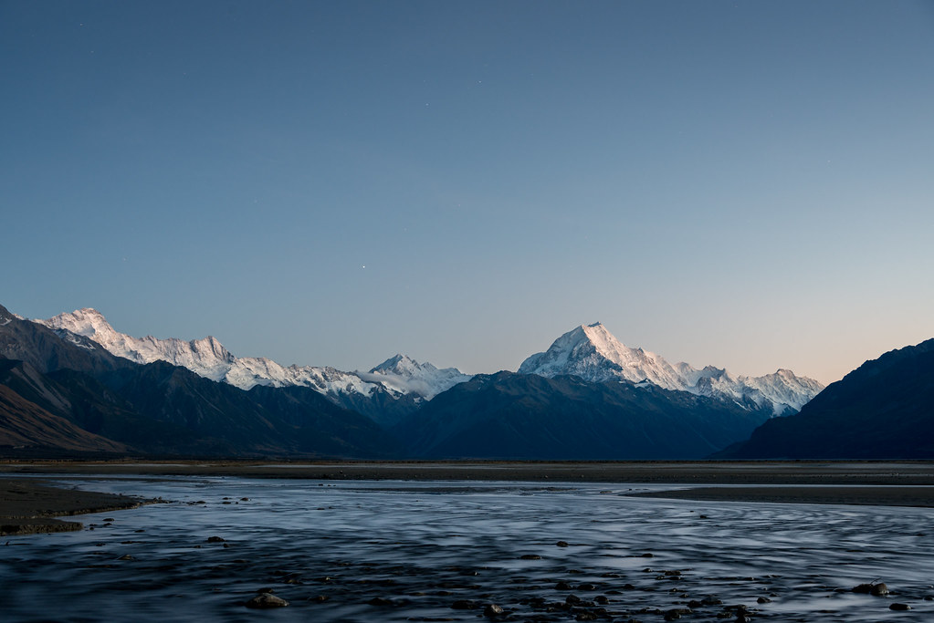
Lake Pukaki Panorama
Topographic Map of Mount Cook, New Zealand
Find elevation by address:

Places near Mount Cook, New Zealand:
Glentanner Holiday Park Mount Cook
Mount Sealy
Aoraki Mount Cook Village
Mt Cook Lodge And Motel
Mount Cook National Park
Mount Glenmary
Pukaki
Mount Ward
Fettes Peak
Mount Cook
Hopkins Valley
Twizel
Mount Dechen
Lake Ohau
Landsborough Valley
Mount Hooker
Mount Huxley
Mount Enderby
Mount Saint Mary
Omarama
Recent Searches:
- Elevation of Corso Fratelli Cairoli, 35, Macerata MC, Italy
- Elevation of Tallevast Rd, Sarasota, FL, USA
- Elevation of 4th St E, Sonoma, CA, USA
- Elevation of Black Hollow Rd, Pennsdale, PA, USA
- Elevation of Oakland Ave, Williamsport, PA, USA
- Elevation of Pedrógão Grande, Portugal
- Elevation of Klee Dr, Martinsburg, WV, USA
- Elevation of Via Roma, Pieranica CR, Italy
- Elevation of Tavkvetili Mountain, Georgia
- Elevation of Hartfords Bluff Cir, Mt Pleasant, SC, USA