Elevation of Twizel, New Zealand
Location: New Zealand > Canterbury > Mackenzie District >
Longitude: 170.104294
Latitude: -44.259901
Elevation: 462m / 1516feet
Barometric Pressure: 96KPa
Elevation Map:
Satellite Map:
Related Photos:

Aoraki Mt Cook 710_1974.jpg
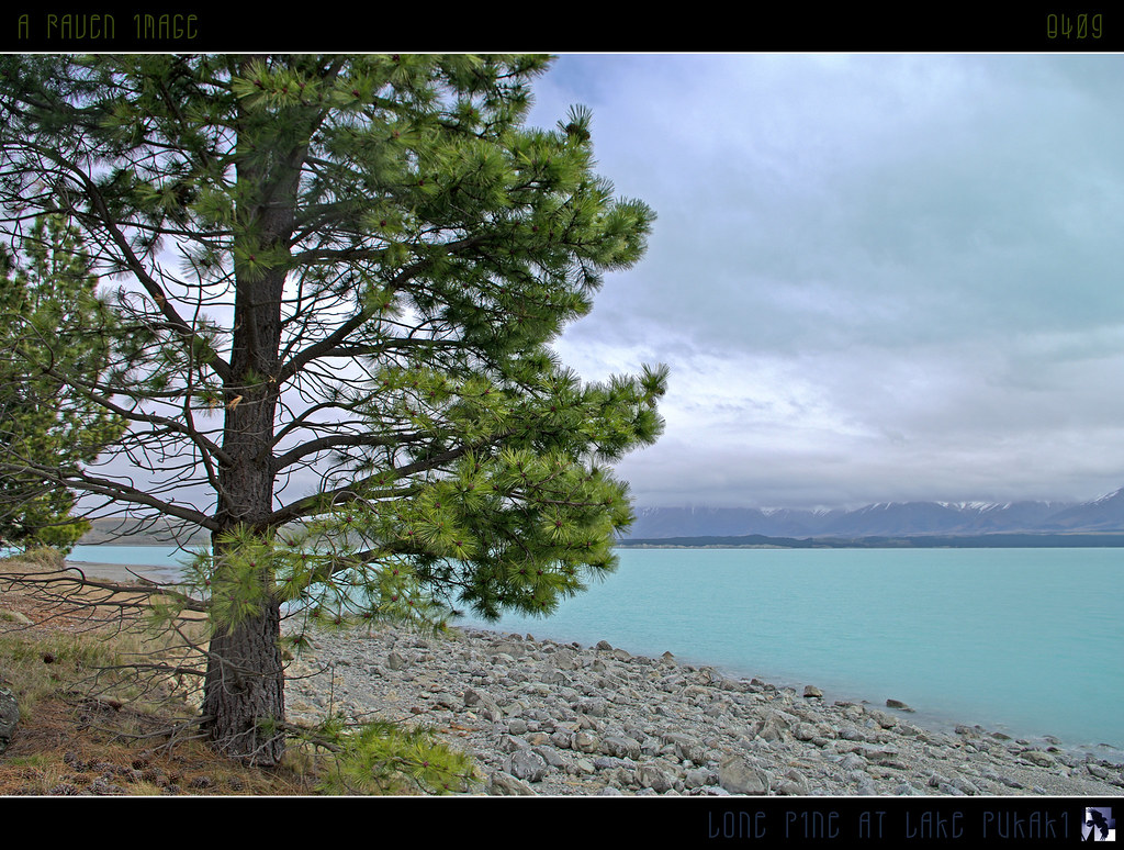
Lone Pine At Lake Pukaki
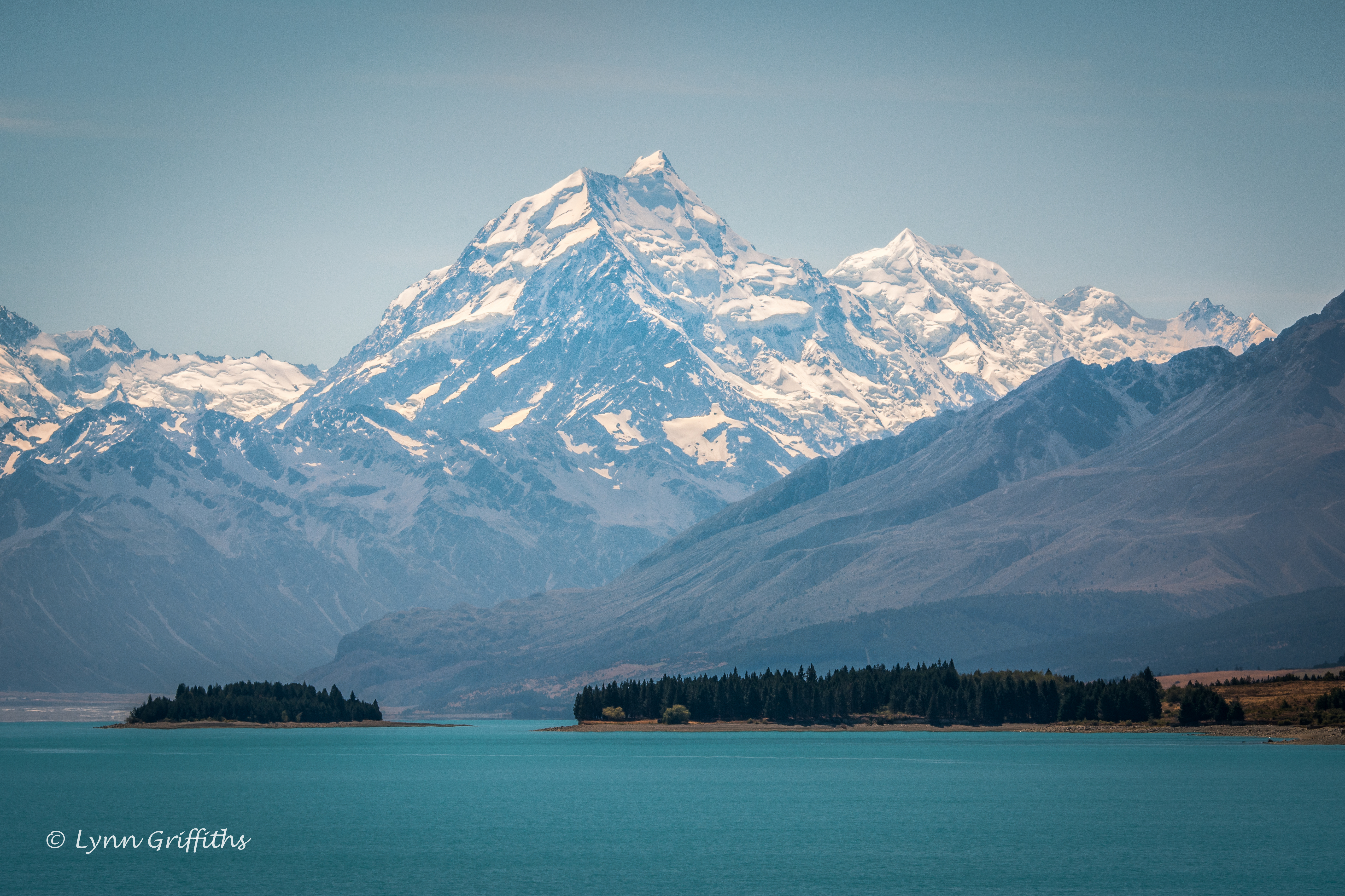
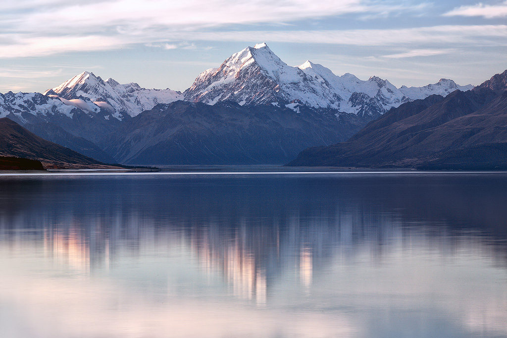
Looking At Mt Cook
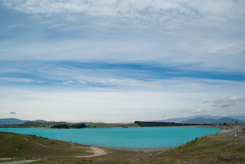
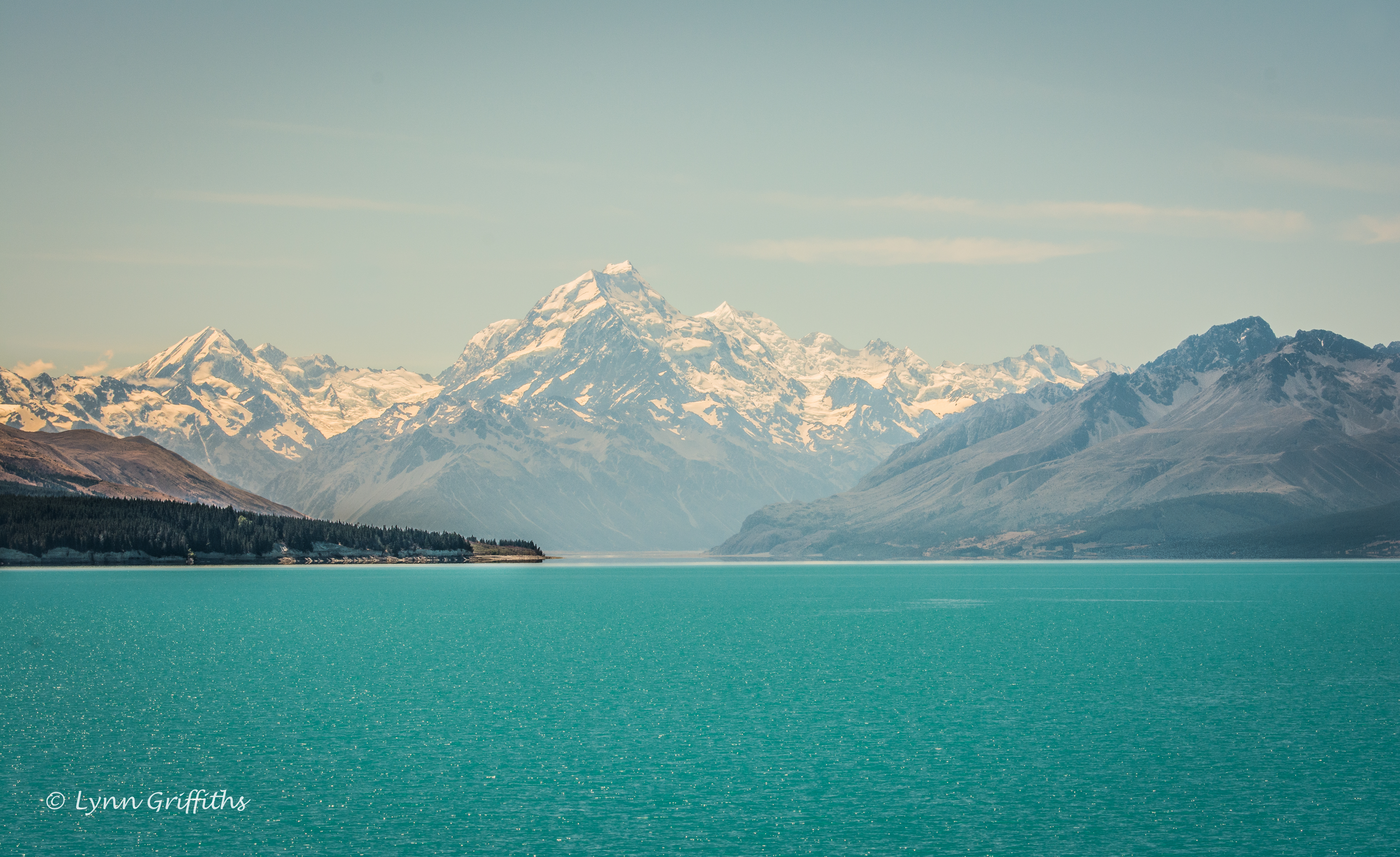
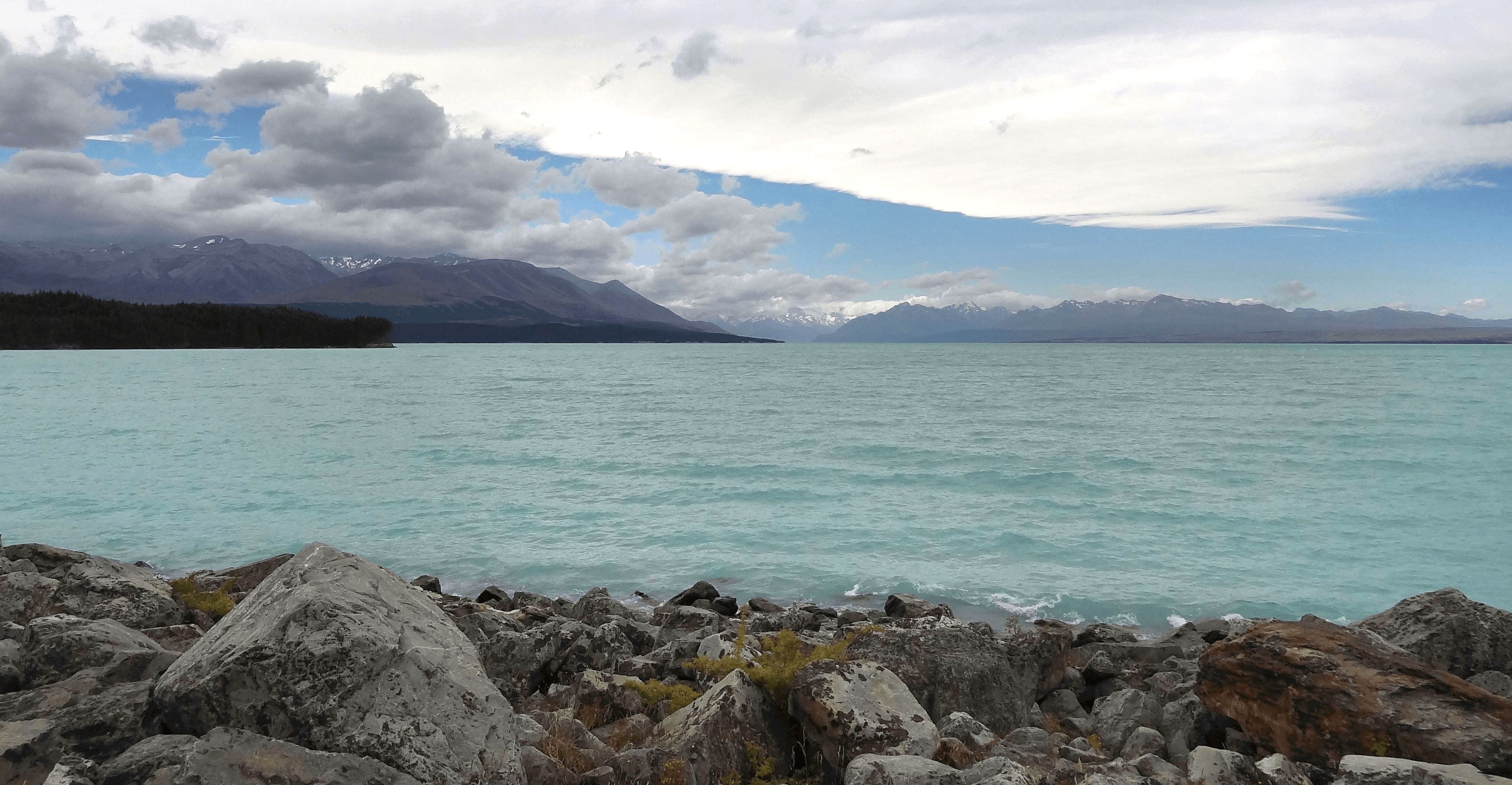
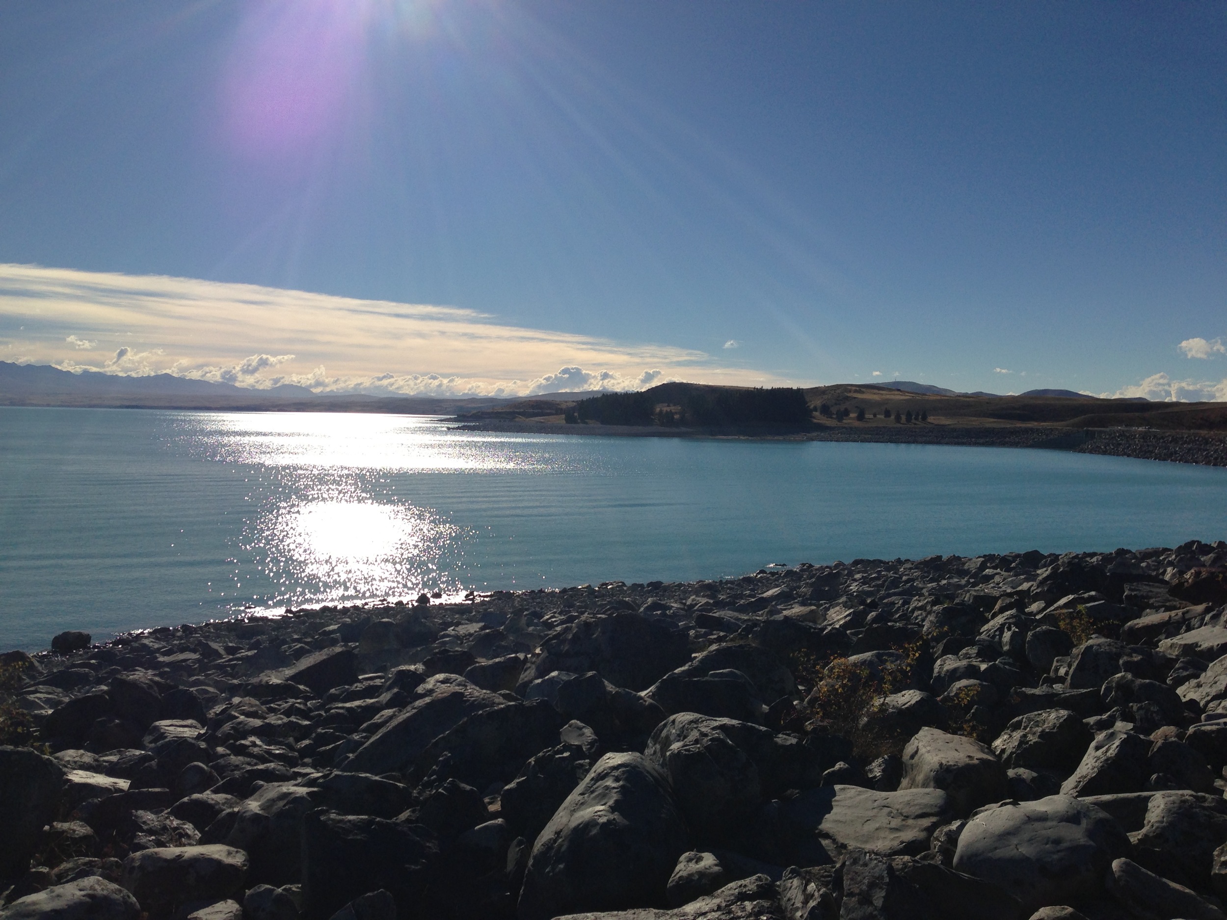
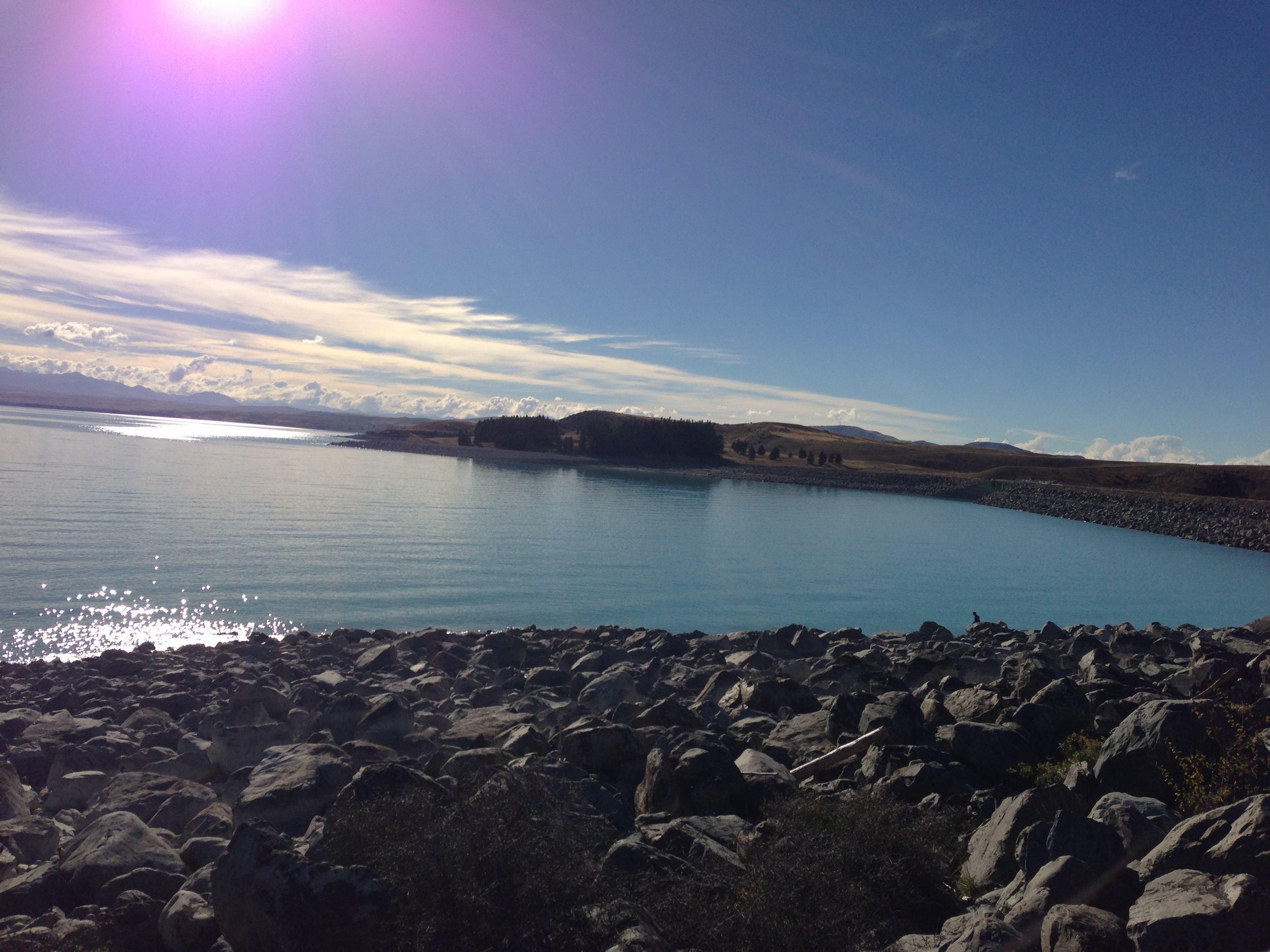
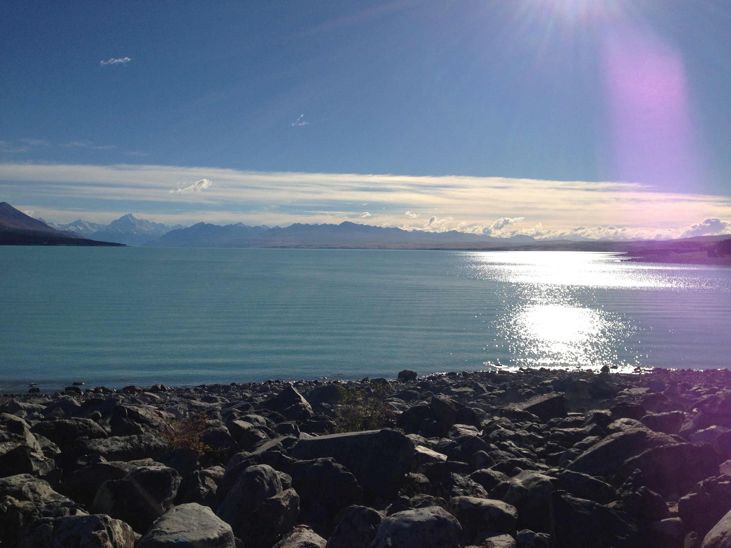
View over Lake Pukaki
Tones of Blue and brown
Strange Clouds
Flying By
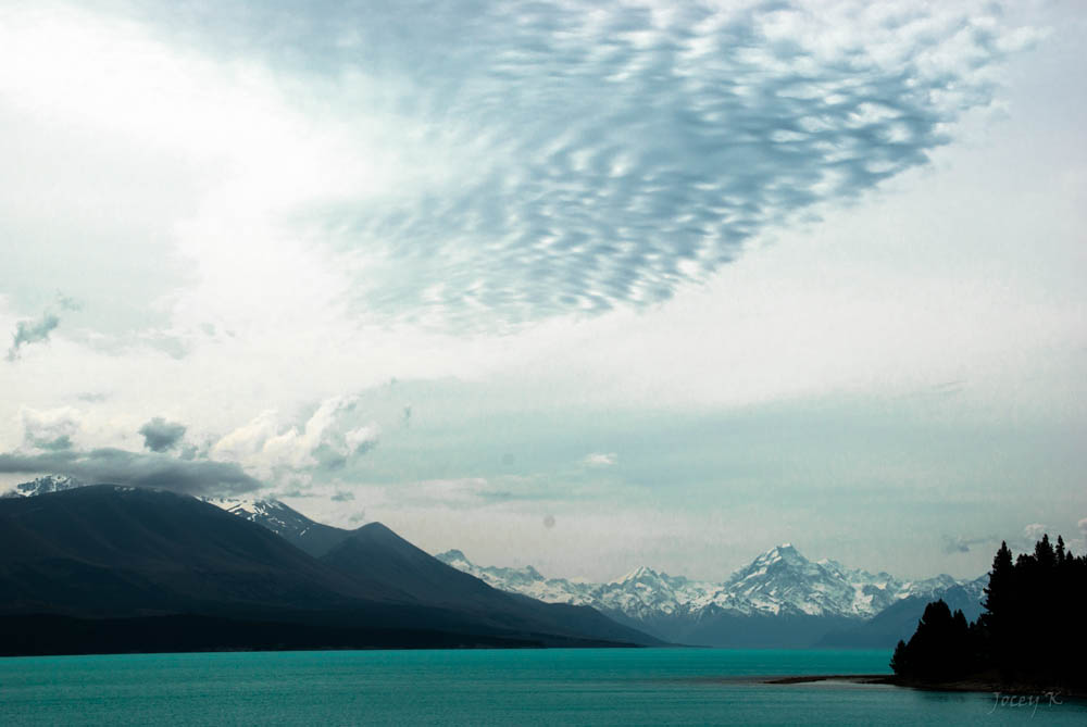
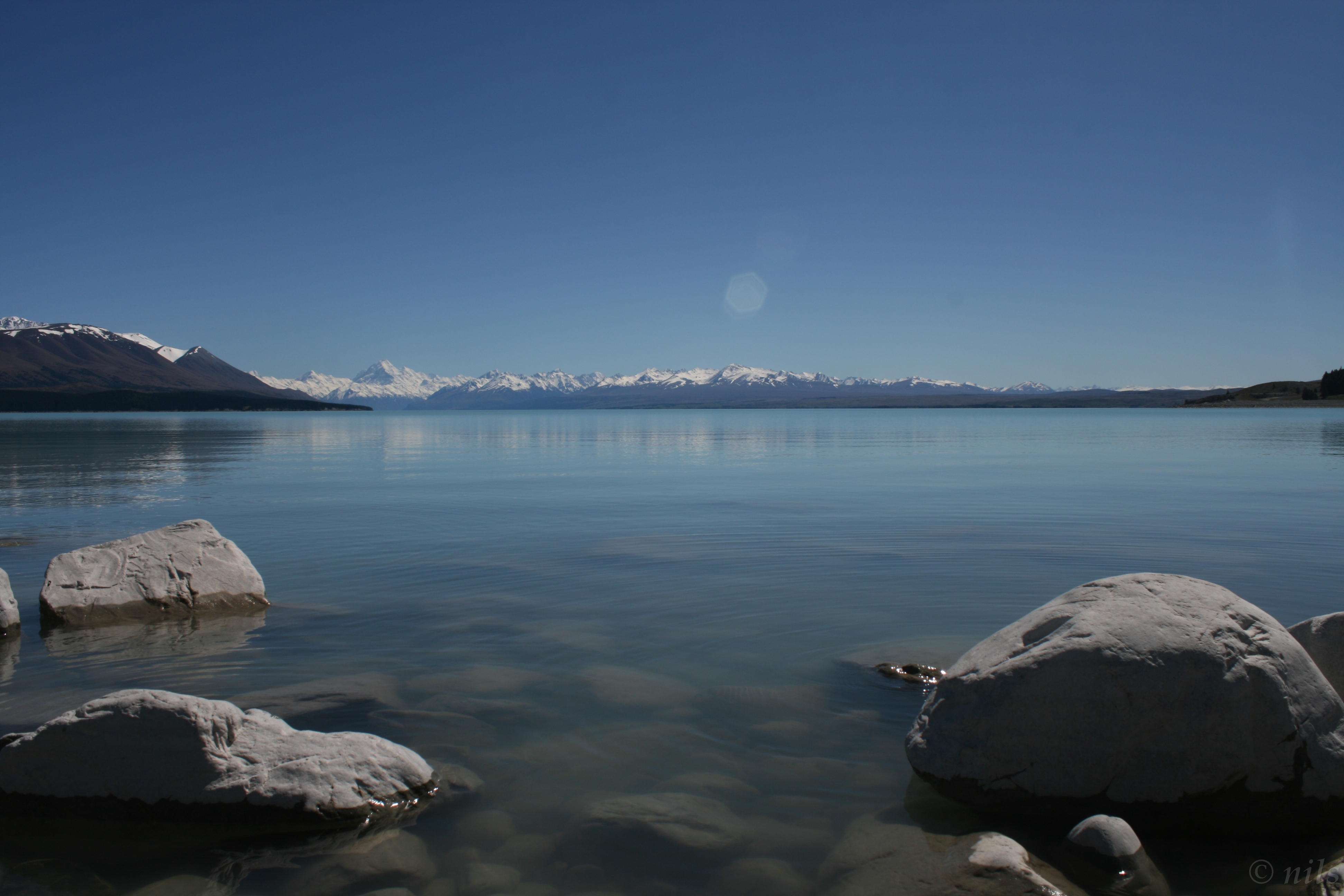
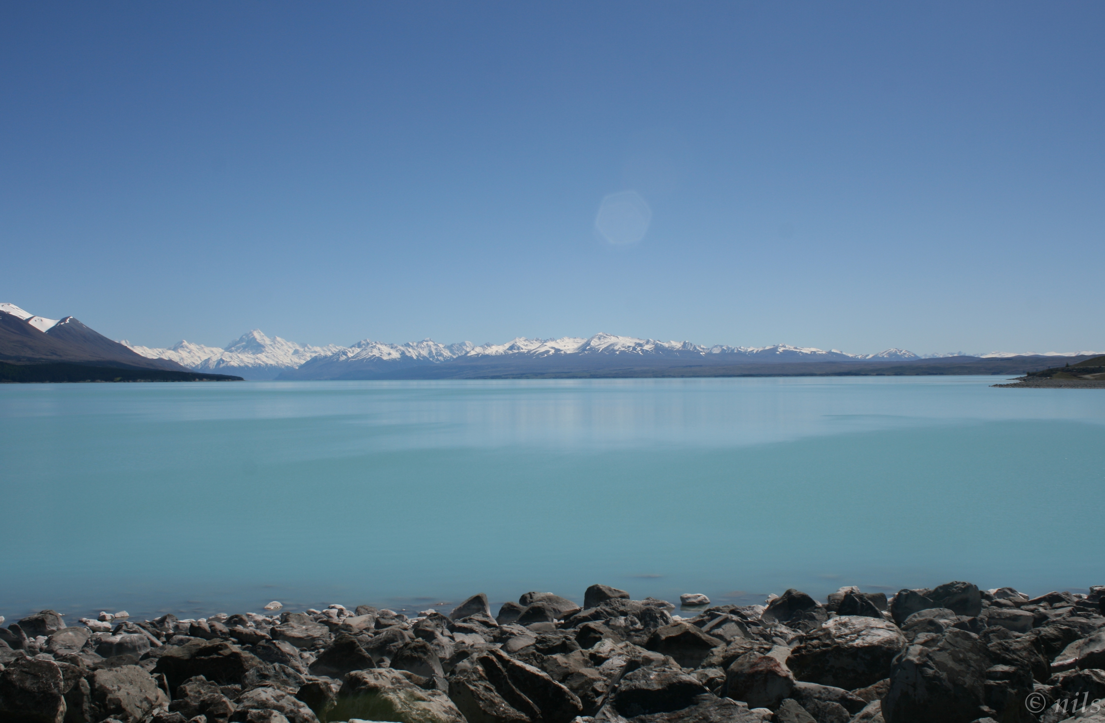
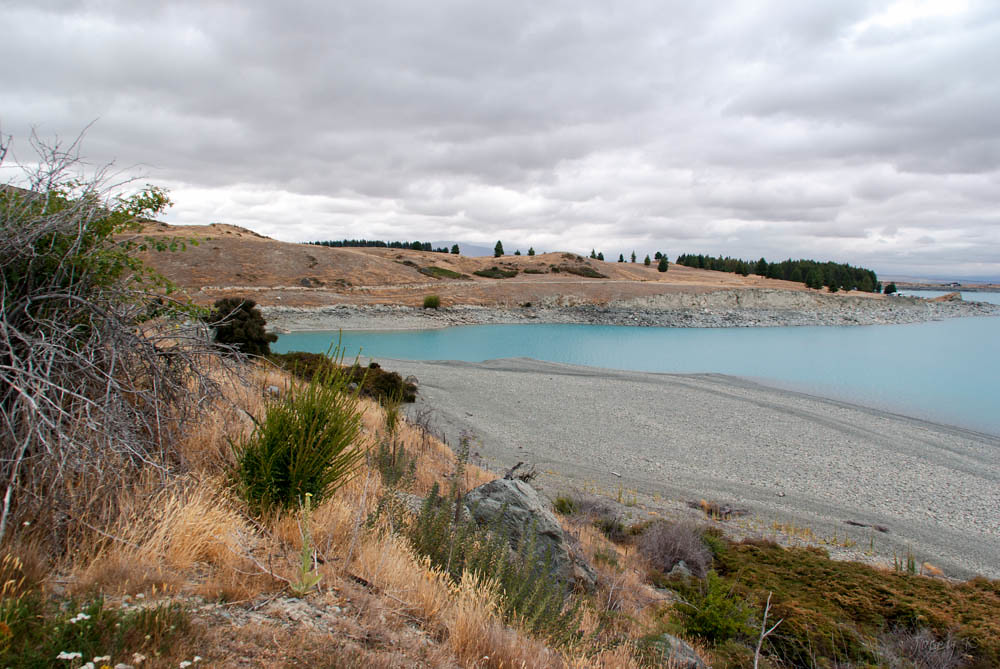
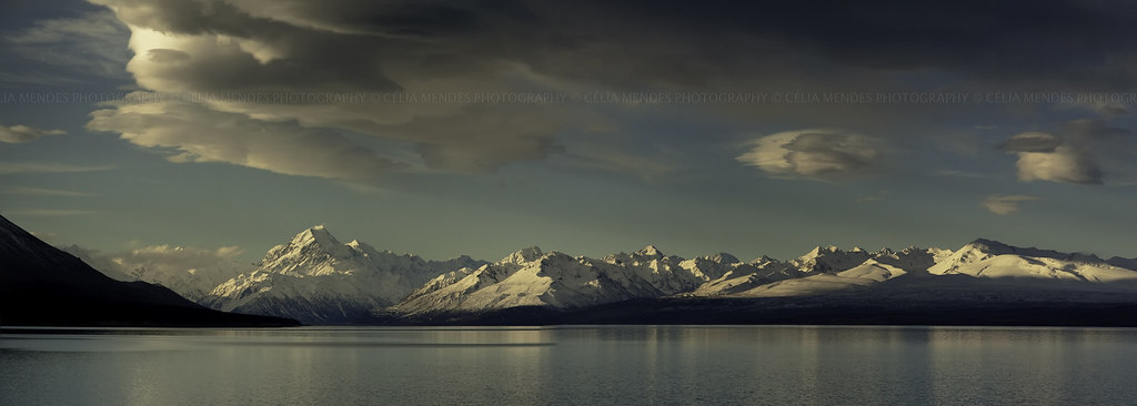
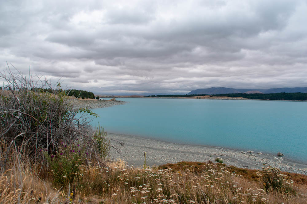
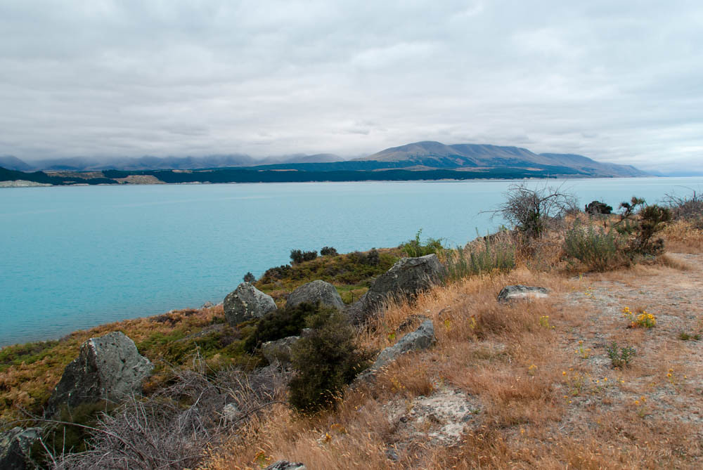
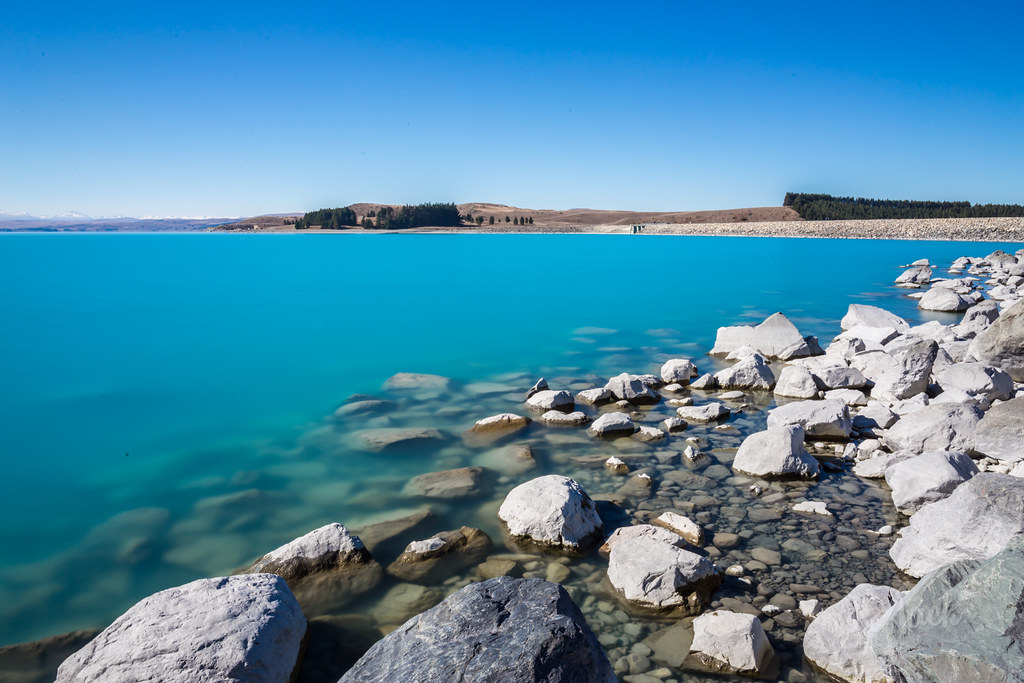
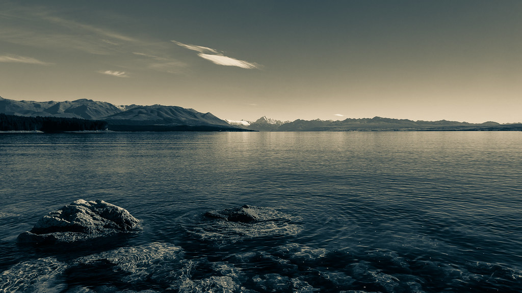
Lake Pukaki
Looking South
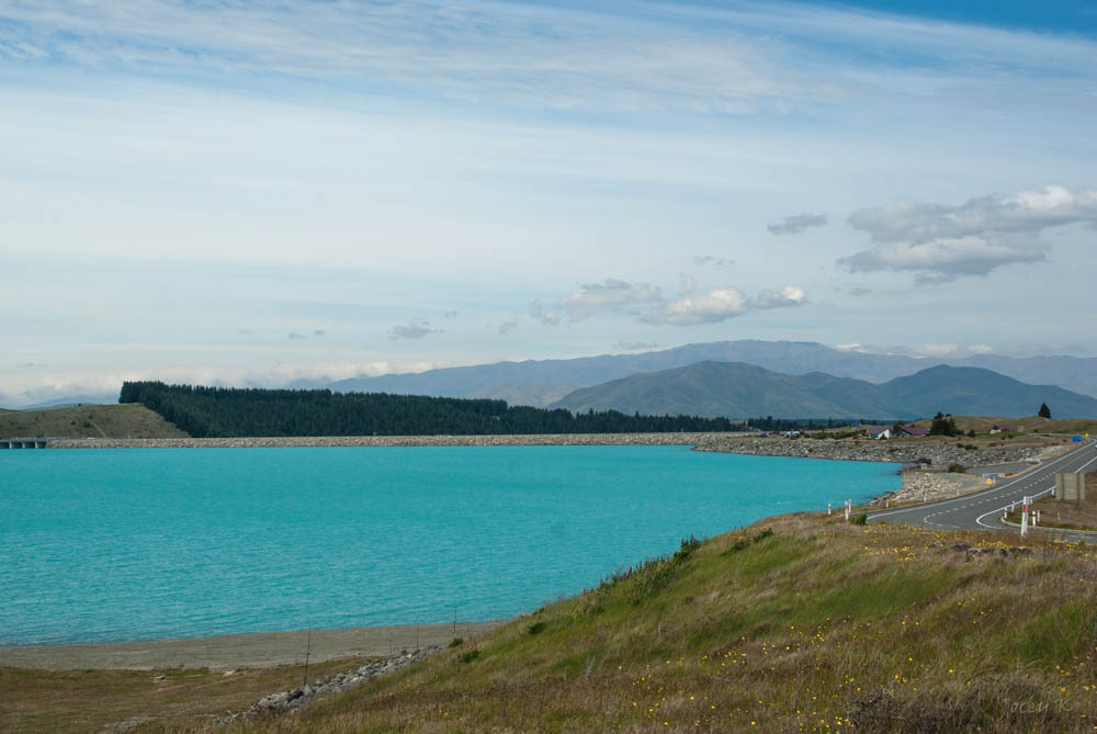
Lake Pukaki

Lake Pukaki
View over Lake Pukaki
Aoraki Mt Cook 710_1964.jpg
Badly Need of Rain
Mt Cook seen from the south bank of Lake Pukaki, Canterbury, New Zealand, Oct 2012
Lake Pukaki & Aoraki Mount Cook 710_1973.jpg

GAF Nomad.
Aoraki Reflections

On the way to mount cook, strong wind, van kept bumping... but the view proves God's amazing works.
Wild Flowers and Clouds
Northern Edge of the Mackenzie Basin
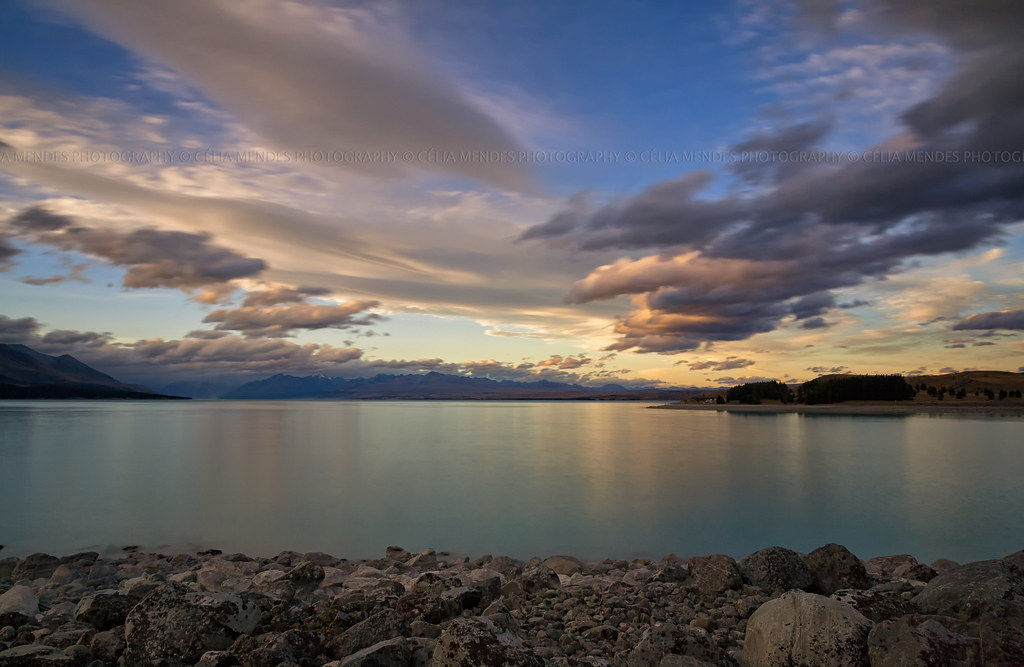
Lake Pukaki NZ
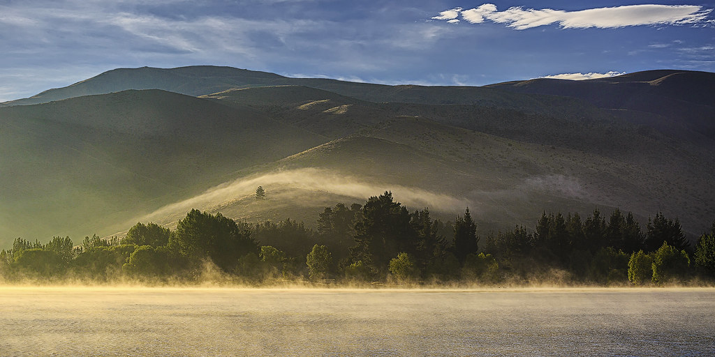
Misty Morn

lake pukaki and aoraki / mt cook, nz
Lake Pukaki
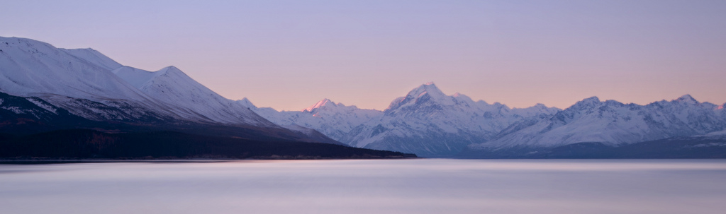
Mt. Cook and Lake Tekapo

Camera Roll-3198

Twizel Sunset 2
Camera Roll-3197
Lake Pukaki, Canterbury, New Zealand, Mar 2013
Camera Roll-3231
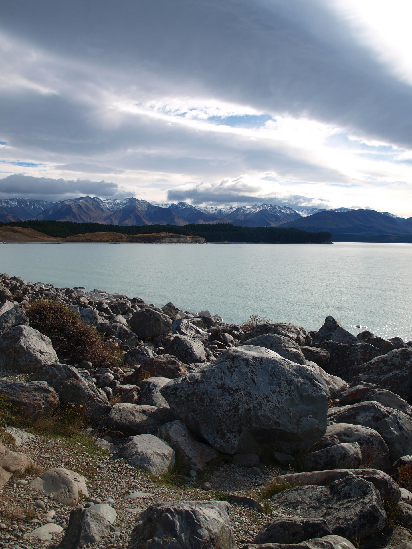
Lake Pukaki
Lake Pukaki and Aoraki National Park

Wairepo Arm
Camera Roll-3195
Topographic Map of Twizel, New Zealand
Find elevation by address:

Places near Twizel, New Zealand:
Pukaki
Lake Ohau
Omarama
19 Teal Cres
Hopkins Valley
Glentanner Holiday Park Mount Cook
Mount Cook
Mount Glenmary
Dunstan Downs High Country Sheep Station
Mount Saint Mary
Mount Huxley
Mount Ward
Mount Sealy
Ahuriri Conservation Park
Hp Hawkdun Range
Aoraki Mount Cook Village
Mt Cook Lodge And Motel
Mount Cook National Park
Lindis Pass
Fettes Peak
Recent Searches:
- Elevation of Corso Fratelli Cairoli, 35, Macerata MC, Italy
- Elevation of Tallevast Rd, Sarasota, FL, USA
- Elevation of 4th St E, Sonoma, CA, USA
- Elevation of Black Hollow Rd, Pennsdale, PA, USA
- Elevation of Oakland Ave, Williamsport, PA, USA
- Elevation of Pedrógão Grande, Portugal
- Elevation of Klee Dr, Martinsburg, WV, USA
- Elevation of Via Roma, Pieranica CR, Italy
- Elevation of Tavkvetili Mountain, Georgia
- Elevation of Hartfords Bluff Cir, Mt Pleasant, SC, USA