Elevation of Mount Cook, Canterbury, New Zealand
Location: New Zealand > Canterbury > Mackenzie District > Mount Cook National Park >
Longitude: 170.141788
Latitude: -43.594974
Elevation: 3722m / 12211feet
Barometric Pressure: 64KPa
Elevation Map:
Satellite Map:
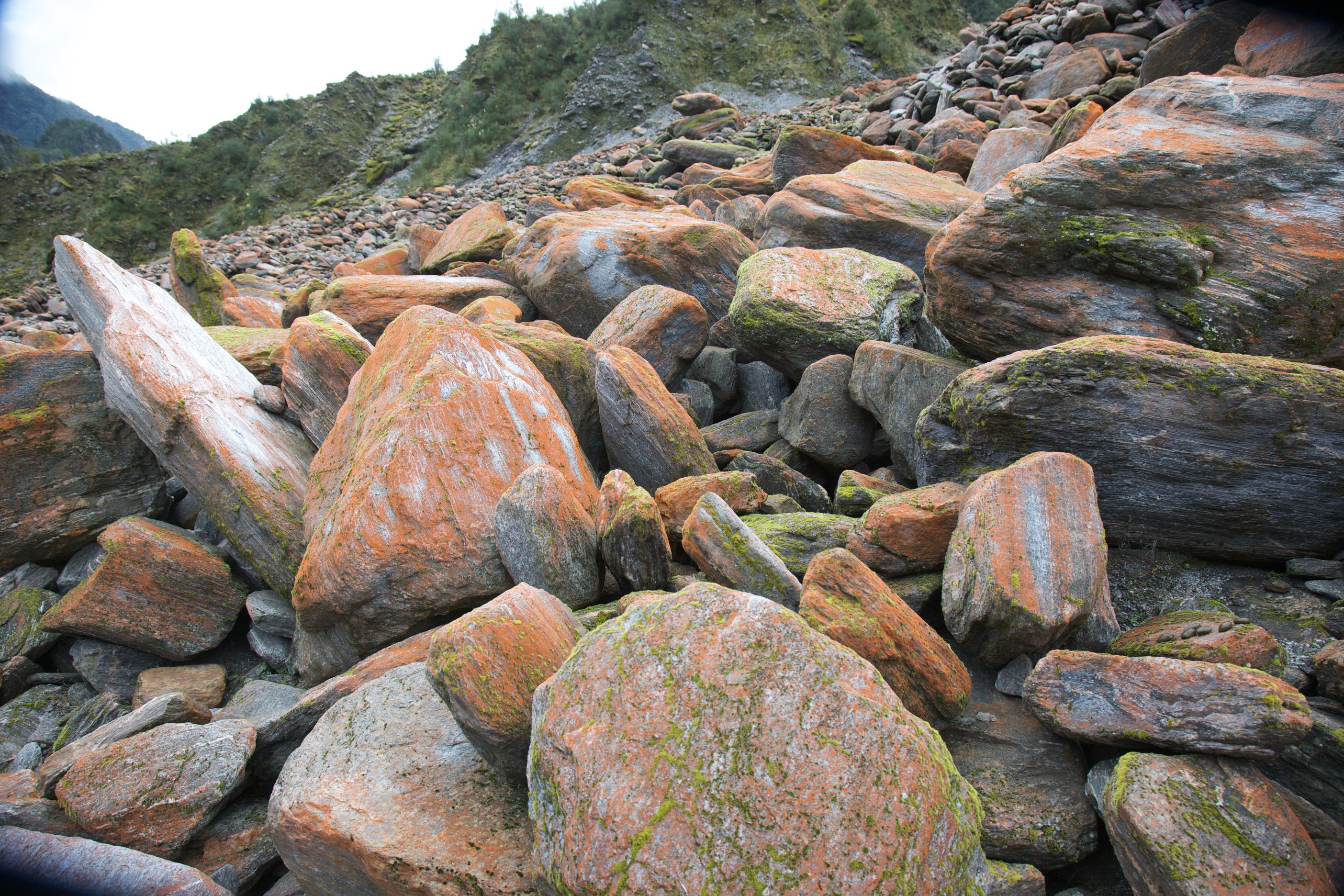
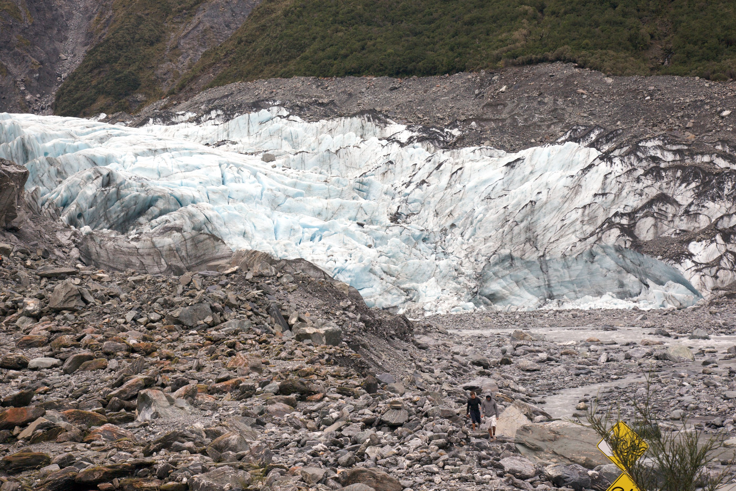
Related Photos:

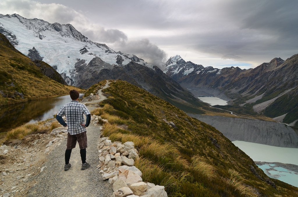
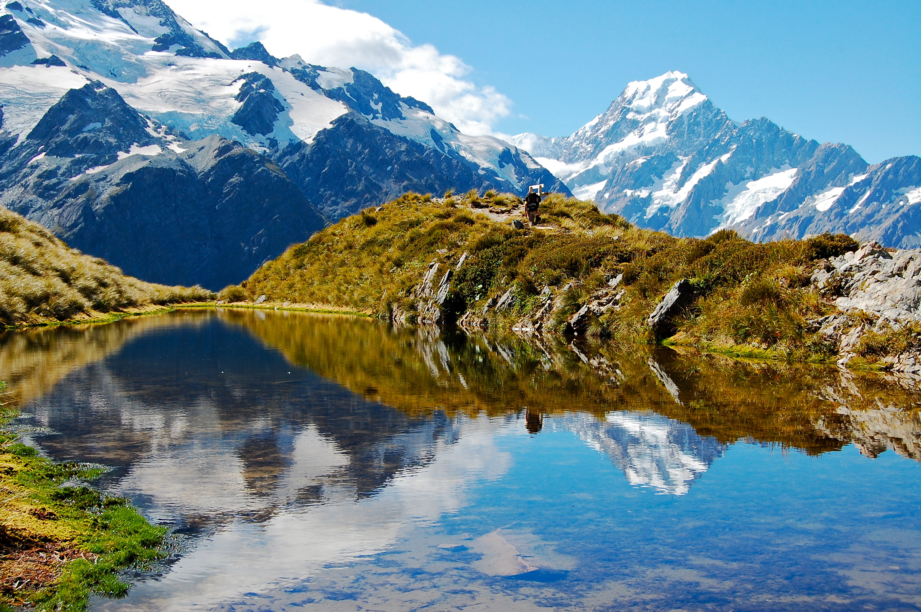
Stop for the view
What a view
A stunning view of Aoroki Mt Cook D61_6534.jpg
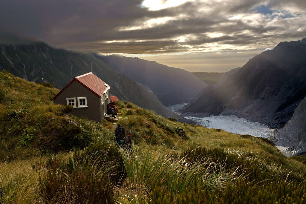
chancellor evening
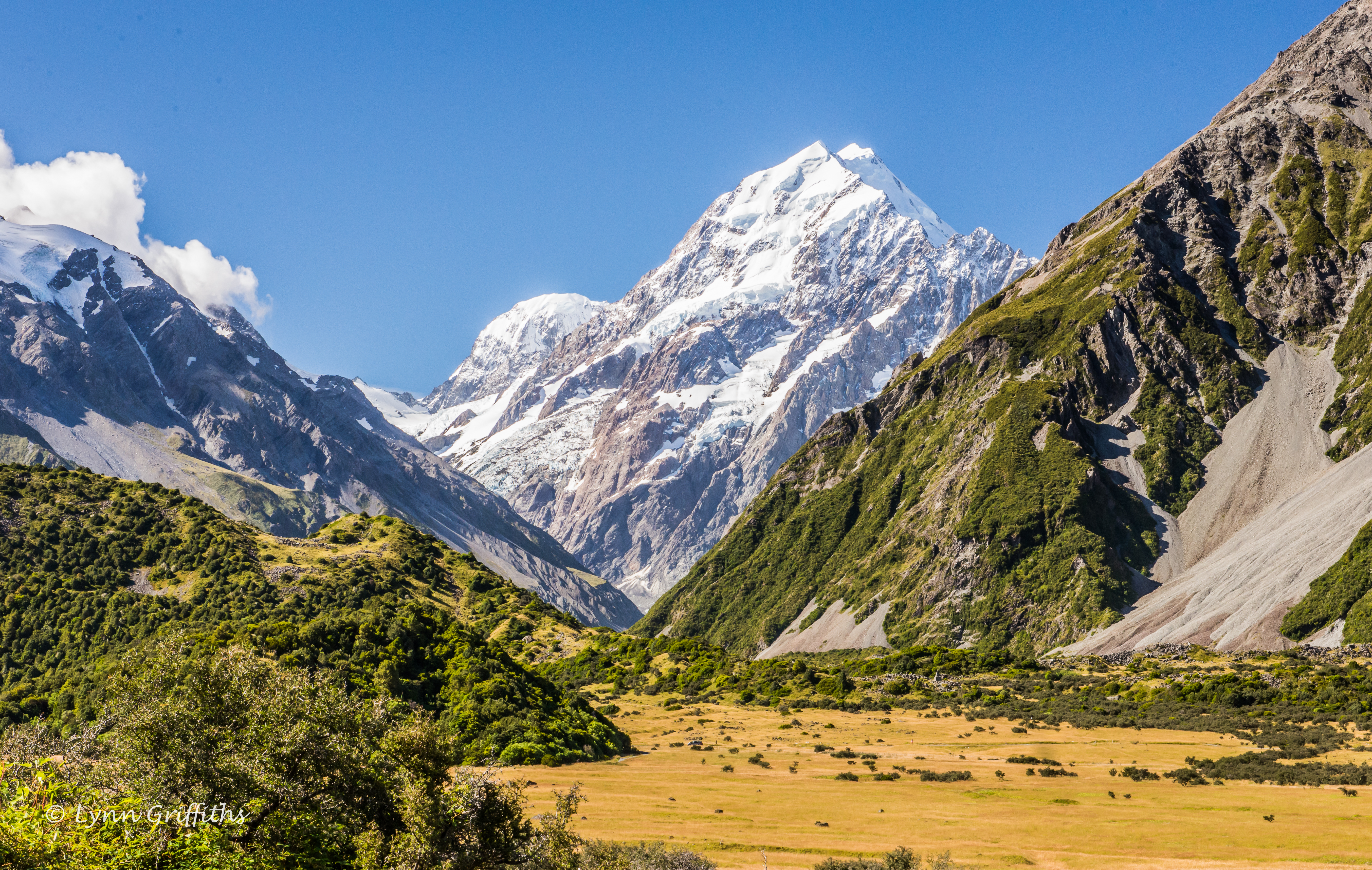
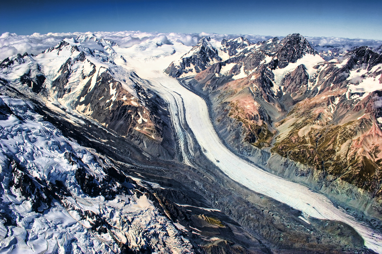
Mt Cook Panorama

Valley of Stars

Land of the Rings

mueller morning
Sealy Tarns #3

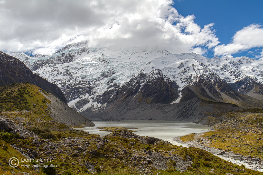
Mueller Crossing
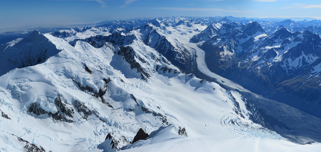
Mount Cook (Aoraki) II - the curve of the earth
Hooker Valley Track - Aoraki / Mount Cook

Majestic Aoraki From Hooker River

Mt. Cook, viewed from Hooker Lake, New Zealand

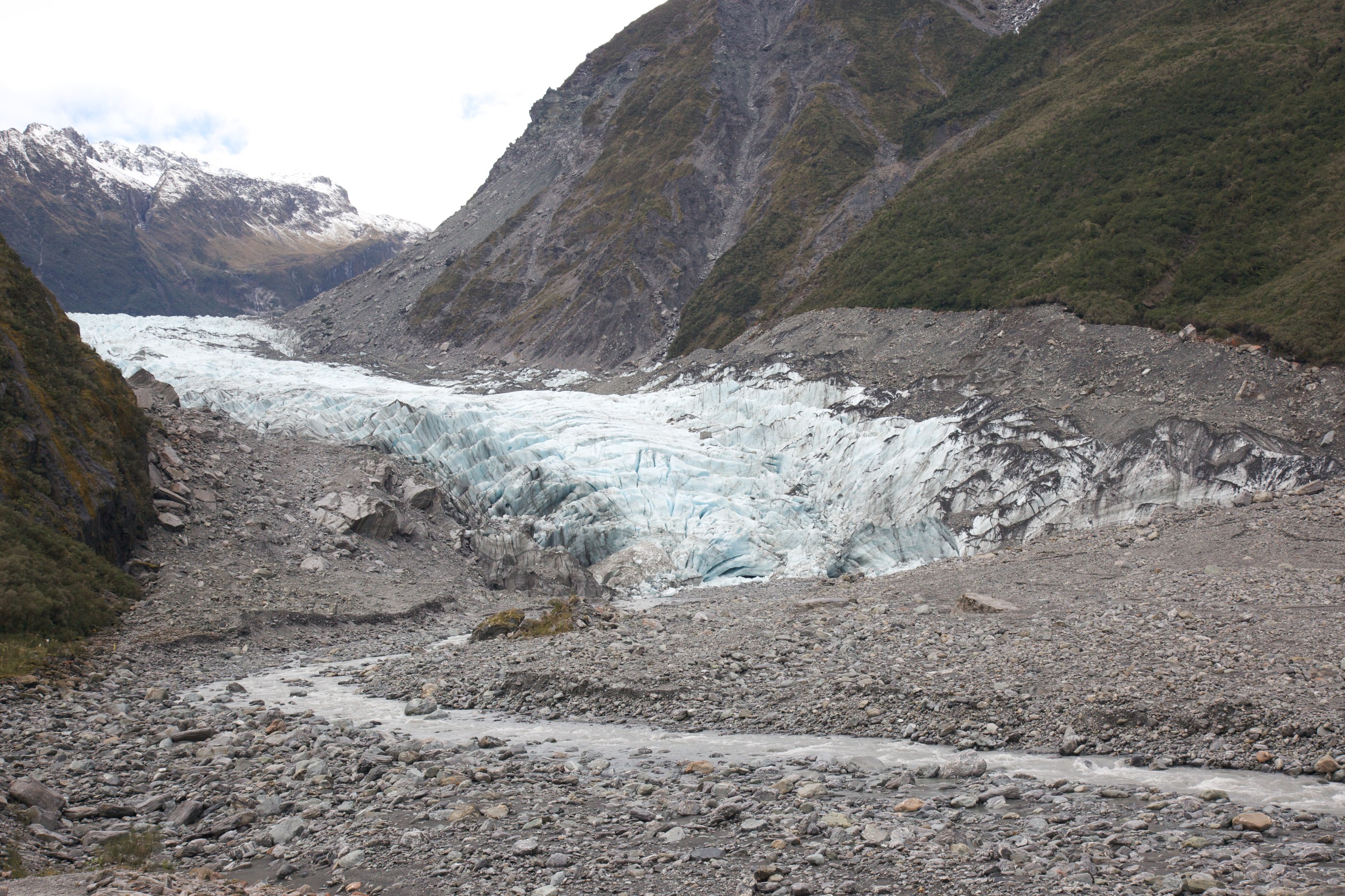
2014-09-11 New Zealand - 147

2014-09-11 New Zealand - 154

What a view
IMG_1860 - Version 2
IMG_1867 - Version 2
IMG_1861 - Version 2

Hooker Valley - Parco Nazionale Aoraki-Mt.Cook, Canterbury
Topographic Map of Mount Cook, Canterbury, New Zealand
Find elevation by address:

Places near Mount Cook, Canterbury, New Zealand:
Mount Cook National Park
Mt Cook Lodge And Motel
Aoraki Mount Cook Village
Mount Sealy
Fettes Peak
Mount Cook
Glentanner Holiday Park Mount Cook
Mount Ward
Mount Dechen
Mount Glenmary
Mount Hooker
Landsborough Valley
Pukaki
Hopkins Valley
Mount Huxley
Twizel
Lake Ohau
Paringa
Mount Enderby
Shattered Peak
Recent Searches:
- Elevation of Corso Fratelli Cairoli, 35, Macerata MC, Italy
- Elevation of Tallevast Rd, Sarasota, FL, USA
- Elevation of 4th St E, Sonoma, CA, USA
- Elevation of Black Hollow Rd, Pennsdale, PA, USA
- Elevation of Oakland Ave, Williamsport, PA, USA
- Elevation of Pedrógão Grande, Portugal
- Elevation of Klee Dr, Martinsburg, WV, USA
- Elevation of Via Roma, Pieranica CR, Italy
- Elevation of Tavkvetili Mountain, Georgia
- Elevation of Hartfords Bluff Cir, Mt Pleasant, SC, USA