Elevation of Moonbeam, Cottonwood, CA, USA
Location: United States > California > Shasta County > Cottonwood >
Longitude: -122.32912
Latitude: 40.3869215
Elevation: 149m / 489feet
Barometric Pressure: 100KPa
Elevation Map:
Satellite Map:
Related Photos:

Redding, CA OES Fire Engine 329 for Shasta County

Redding, CA Calfire Engine 2479
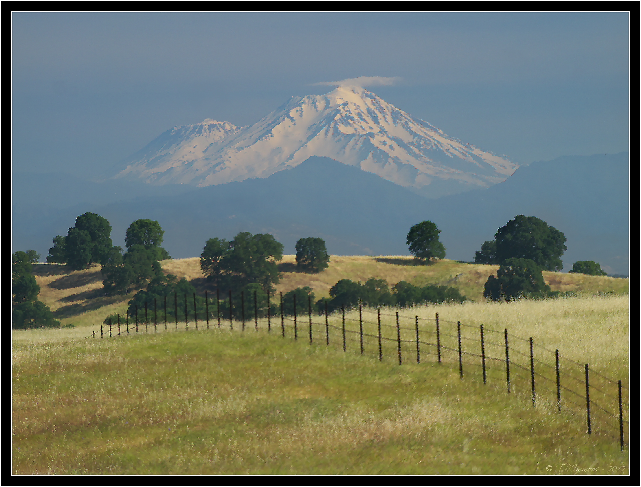
Mount Shasta - A Telephoto Landscape

OZ (2)

Together Again

View of mom's house as I left. #theknottyknitter

View of the berry patch

RDD/KRDD Redding Municipal Airport

Another berry patch view

On the Road to Mt. Shasta
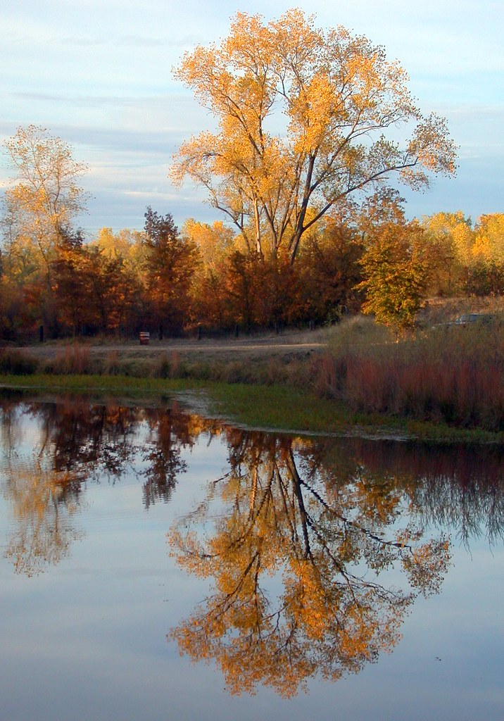
Beautiful Ending
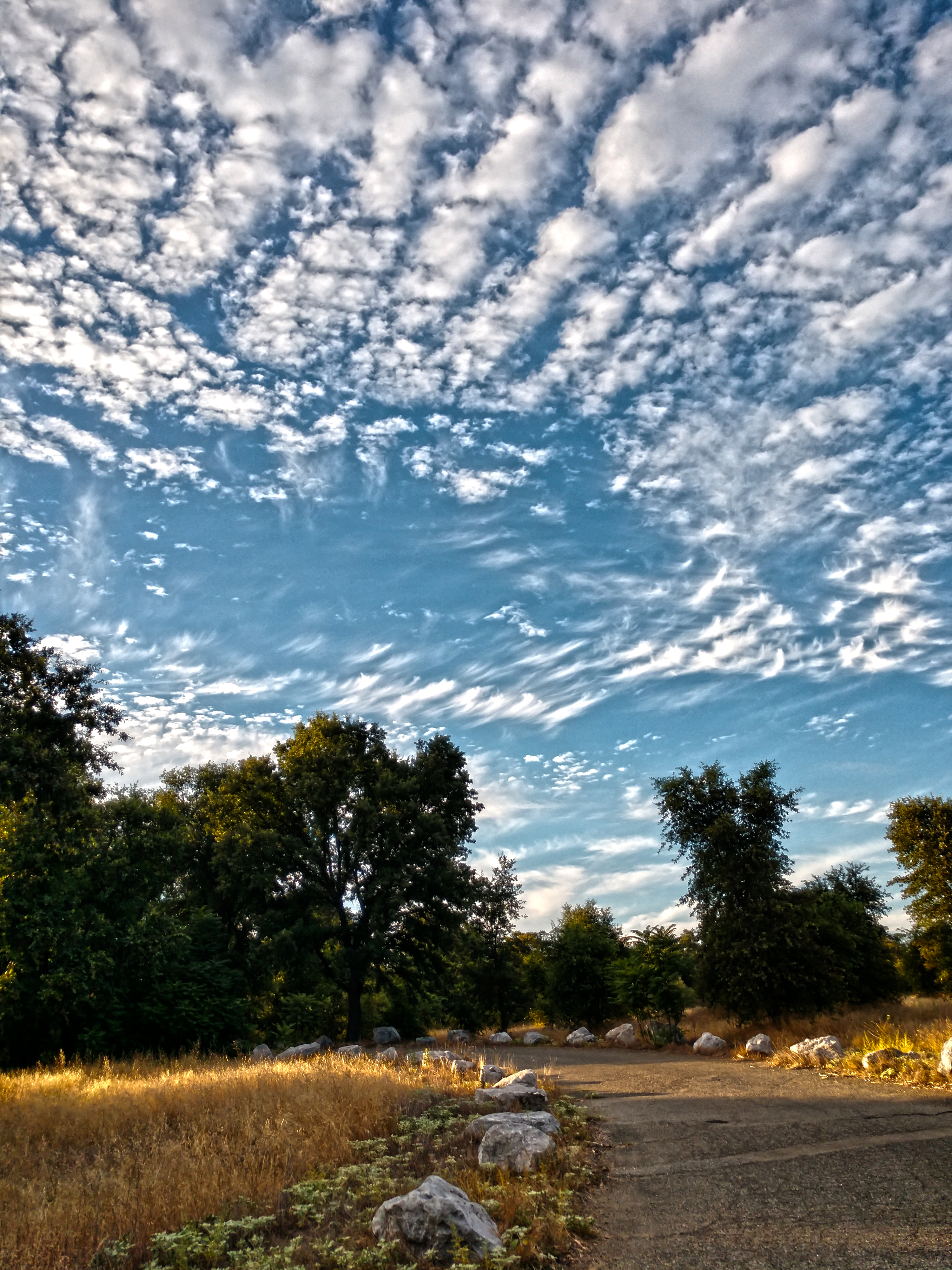
Pleasant Day Clouds
A man fly fishing in the Sacramento River. #sacramento #river #redding #california #roadtrip #sunny #blue #sky #fly #fishing #roadtrip #california #instagram #instagold #instagood #igaddicts #ipodtouch #igdaily #ipod
Anderson Aquaduct_03

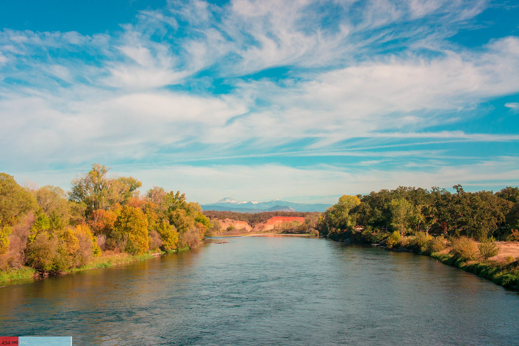
sacramento river sunset

Barge Hole (Red Bloom)
golden meadow
Anderson Aquaduct_07

Black Spreadwing
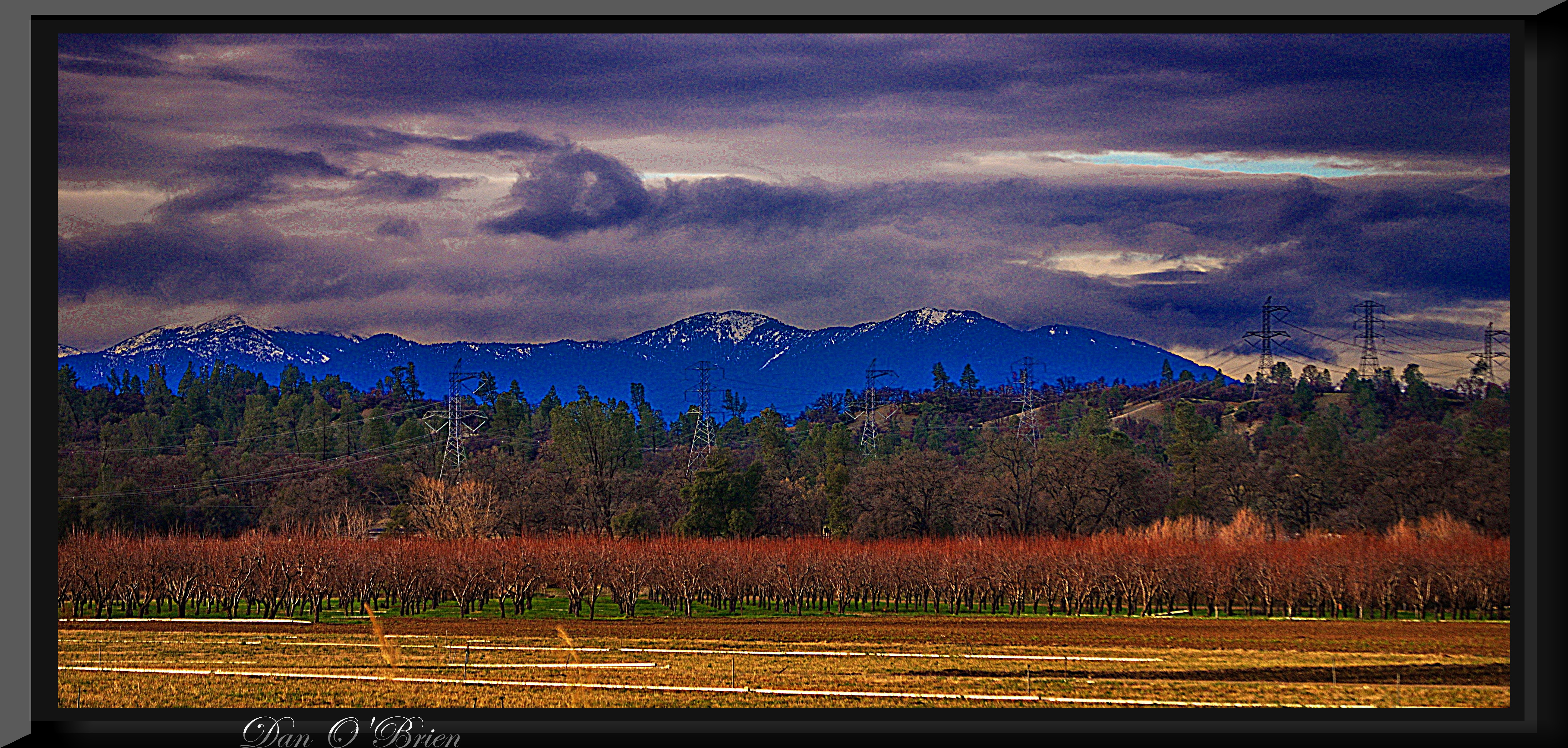
Passing storm
Anderson River Park_10

Corn field

Historic Hawes Farms

Greg Hawes
OZ (4)
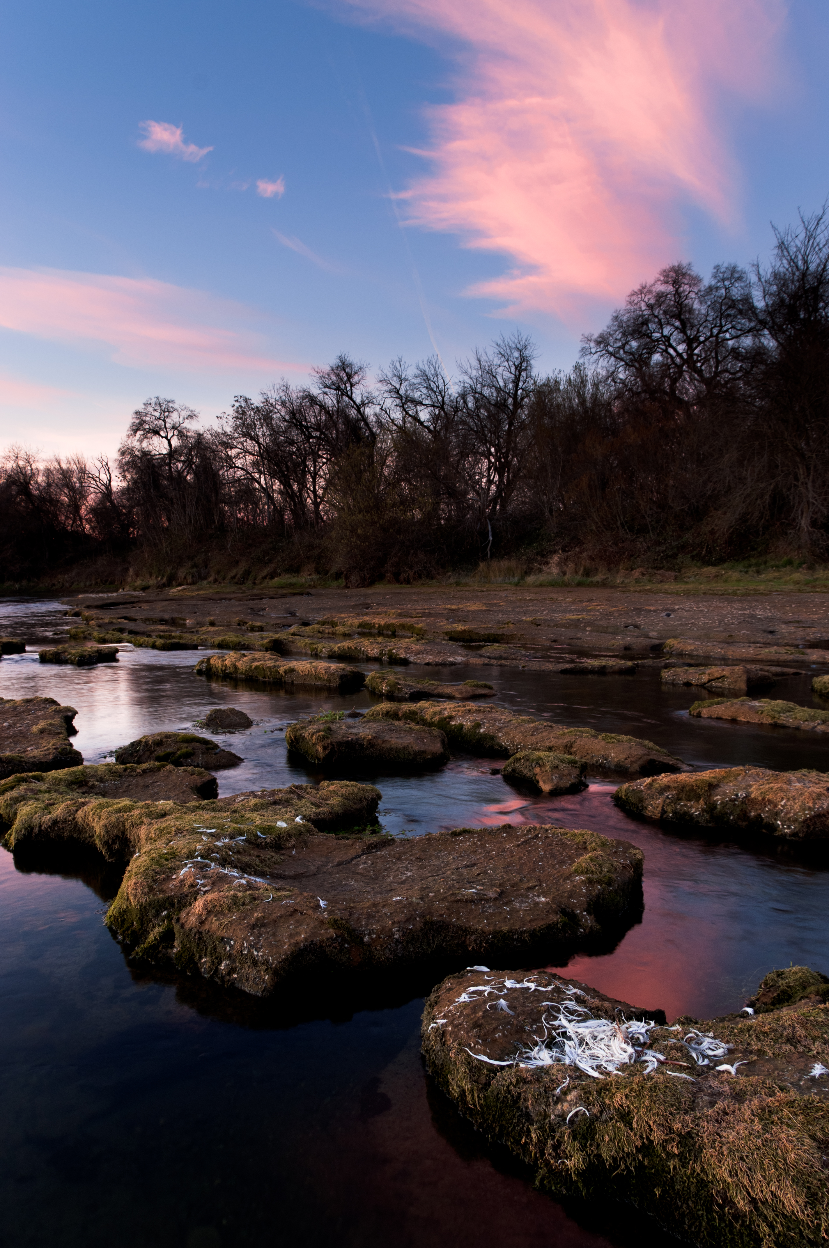
A Wispy River Tale

Break In the Storm
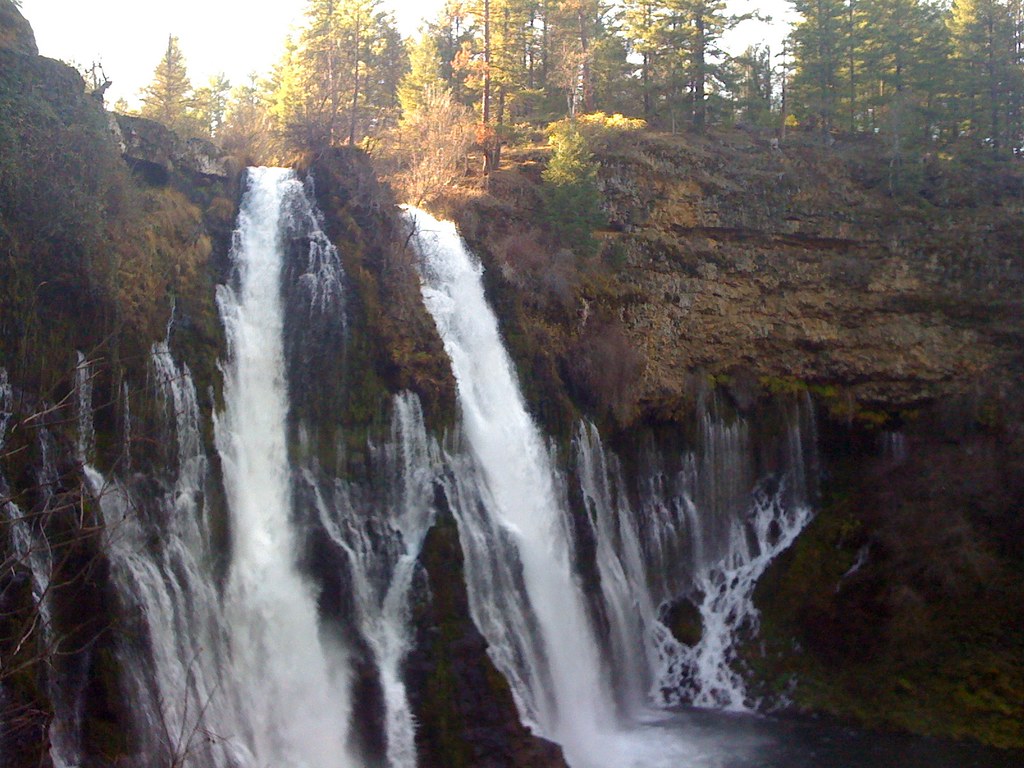
Burney falls
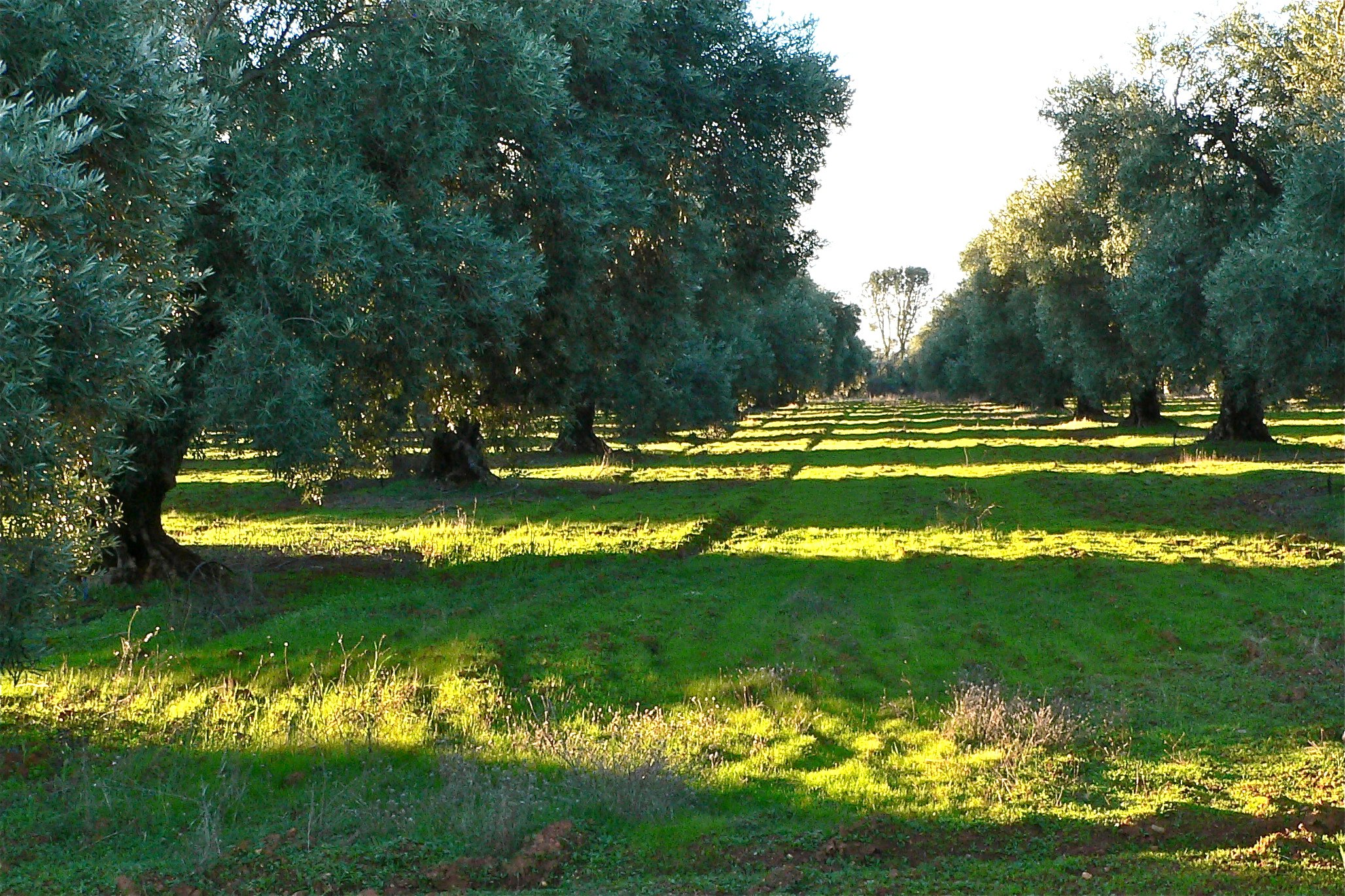
ROWS OF SUNLIGHT
Topographic Map of Moonbeam, Cottonwood, CA, USA
Find elevation by address:

Places near Moonbeam, Cottonwood, CA, USA:
3614 Park Dr
Cottonwood
Cottonwood Community Library
Cottonwood Creek Charter School
20282 Domaine Pl
22 La Colina Terrace
1051 Aquado Ave
Aquado Lane
Anderson
2296 Howard St
Cascade
3093 Sharon Ave
Balls Ferry Road
6870 Riverland Dr
Pacheco
19483 Knighton Rd
7408 Pacheco School Rd
Lyn Ellen Drive
Frantz Drive
22481 Cloud Creek Pl
Recent Searches:
- Elevation of Côte-des-Neiges, Montreal, QC H4A 3J6, Canada
- Elevation of Bobcat Dr, Helena, MT, USA
- Elevation of Zu den Ihlowbergen, Althüttendorf, Germany
- Elevation of Badaber, Peshawar, Khyber Pakhtunkhwa, Pakistan
- Elevation of SE Heron Loop, Lincoln City, OR, USA
- Elevation of Slanický ostrov, 01 Námestovo, Slovakia
- Elevation of Spaceport America, Co Rd A, Truth or Consequences, NM, USA
- Elevation of Warwick, RI, USA
- Elevation of Fern Rd, Whitmore, CA, USA
- Elevation of 62 Abbey St, Marshfield, MA, USA