Elevation of Montgomery, MN, USA
Location: United States > Minnesota > Le Sueur County >
Longitude: -93.581320
Latitude: 44.4383146
Elevation: 326m / 1070feet
Barometric Pressure: 97KPa
Elevation Map:
Satellite Map:
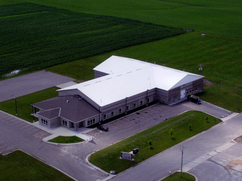
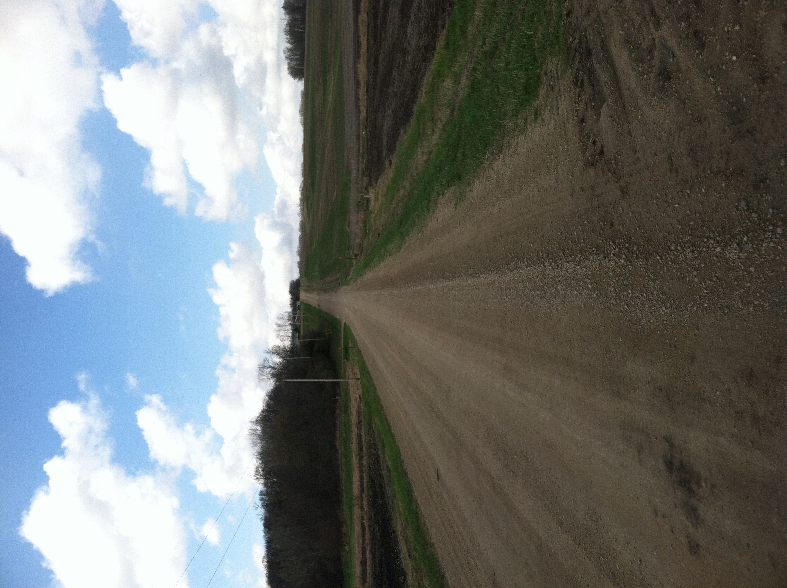
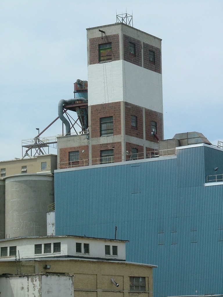
Related Photos:

Pre-Thanksgiving road trip

Church of St. Wenceslaus

hdr-sunset3

Skies above Montgomery MN

Montgomery MN in HDR

Montgomery MN in HDR
Le Center Plant

Kids Wall Art

A field #ttv #viewfinder #farm

Sunrise on Sabre

Leucorrhinia intacta
Off in the Distance, A Wall
New Prague

Cat tails
Topographic Map of Montgomery, MN, USA
Find elevation by address:

Places in Montgomery, MN, USA:
Places near Montgomery, MN, USA:
1st St N, Montgomery, MN, USA
1102 9th St Se
Union Lake Trail, Montgomery, MN, USA
New Prague
215 Main St E
301 Chalupsky Ave Se
Lexington Rd, Le Center, MN, USA
Kilkenny Rd, Waterville, MN, USA
Wheatland Township
Cannon River Rd, Le Center, MN, USA
6376 W 270th St
Lexington Township
Le Center
Main St S, Lonsdale, MN, USA
325 S Waterville Ave
Lonsdale
St Patrick's Tavern & Restaurant
Belle Plaine Township
Cordova Township
4795 Millersburg Blvd
Recent Searches:
- Elevation of Tenjo, Cundinamarca, Colombia
- Elevation of Côte-des-Neiges, Montreal, QC H4A 3J6, Canada
- Elevation of Bobcat Dr, Helena, MT, USA
- Elevation of Zu den Ihlowbergen, Althüttendorf, Germany
- Elevation of Badaber, Peshawar, Khyber Pakhtunkhwa, Pakistan
- Elevation of SE Heron Loop, Lincoln City, OR, USA
- Elevation of Slanický ostrov, 01 Námestovo, Slovakia
- Elevation of Spaceport America, Co Rd A, Truth or Consequences, NM, USA
- Elevation of Warwick, RI, USA
- Elevation of Fern Rd, Whitmore, CA, USA