Elevation of Lexington Rd, Le Center, MN, USA
Location: United States > Minnesota > Le Sueur County > Lexington Township >
Longitude: -93.701759
Latitude: 44.4431358
Elevation: 319m / 1047feet
Barometric Pressure: 98KPa
Elevation Map:
Satellite Map:
Related Photos:

Pre-Thanksgiving road trip

Church of St. Wenceslaus

hdr-sunset3

Skies above Montgomery MN

Montgomery MN in HDR

Montgomery MN in HDR
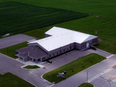
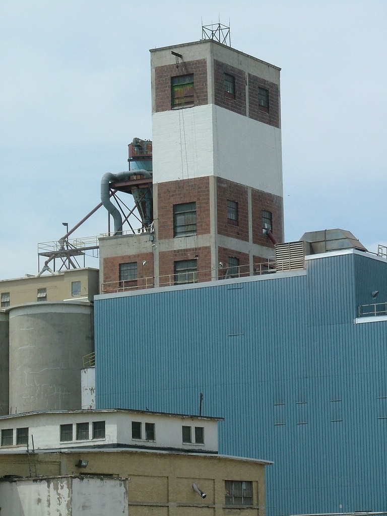
Le Center Plant

Kids Wall Art

In the field

birds on the cattails

Caribou Gun Club pheasant hunt

Into the field

summer sunset over the corn fields

Sunrise on Sabre

In the field
New Prague

small waterfall
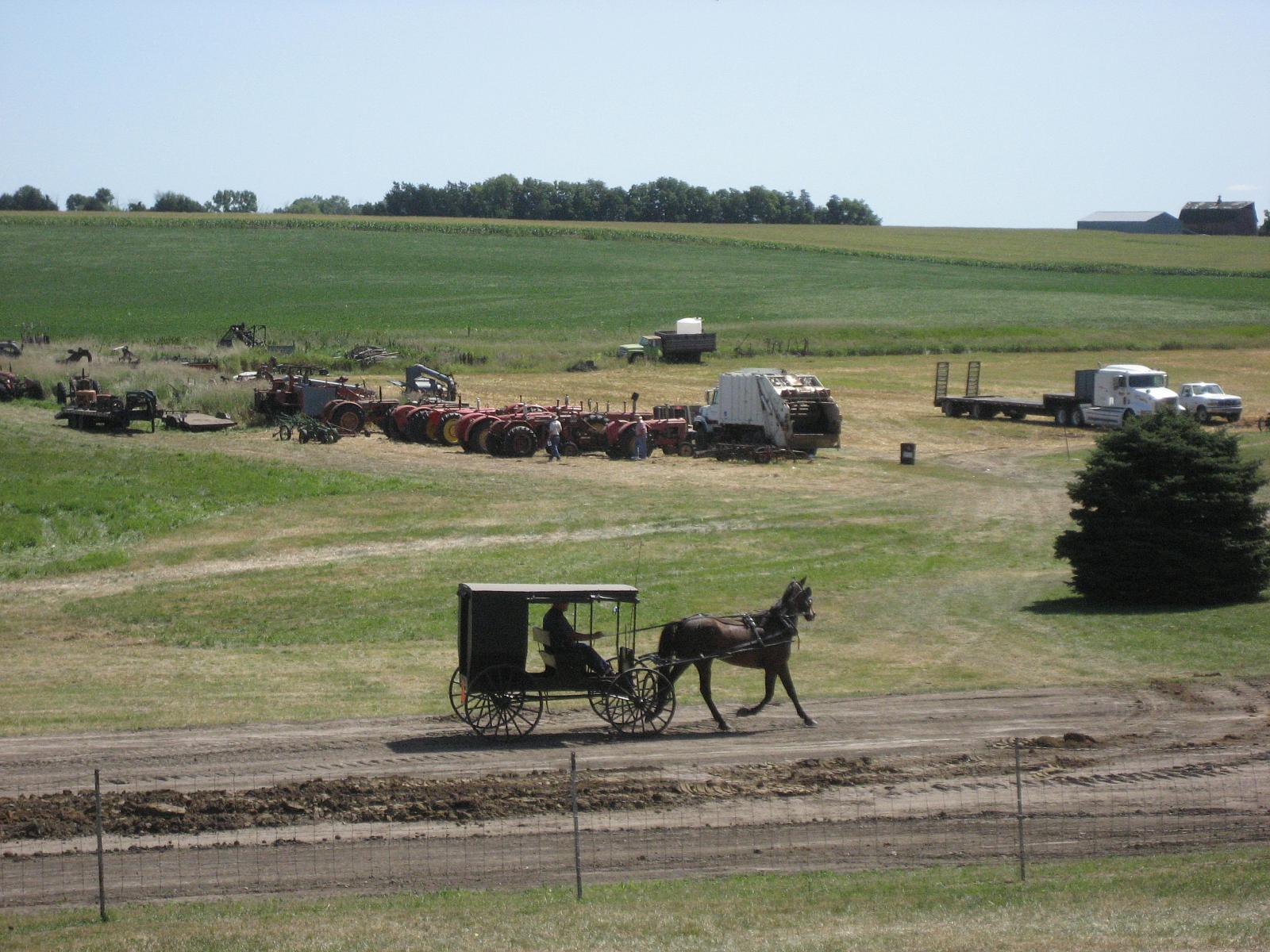
Le Sueur Power Show 041

Le Sueur Power Show 040
Topographic Map of Lexington Rd, Le Center, MN, USA
Find elevation by address:

Places near Lexington Rd, Le Center, MN, USA:
Lexington Township
Le Center
325 S Waterville Ave
26881 320th St
Cannon River Rd, Le Center, MN, USA
Tyrone Township
Montgomery
1st St N, Montgomery, MN, USA
Cordova Township
6376 W 270th St
Belle Plaine Township
Sharon Township
New Prague
215 Main St E
1102 9th St Se
301 Chalupsky Ave Se
47282 Beaver Dam Rd
Kilkenny Rd, Waterville, MN, USA
Caribou Gun Club
S Meridian St, Belle Plaine, MN, USA
Recent Searches:
- Elevation of Corso Fratelli Cairoli, 35, Macerata MC, Italy
- Elevation of Tallevast Rd, Sarasota, FL, USA
- Elevation of 4th St E, Sonoma, CA, USA
- Elevation of Black Hollow Rd, Pennsdale, PA, USA
- Elevation of Oakland Ave, Williamsport, PA, USA
- Elevation of Pedrógão Grande, Portugal
- Elevation of Klee Dr, Martinsburg, WV, USA
- Elevation of Via Roma, Pieranica CR, Italy
- Elevation of Tavkvetili Mountain, Georgia
- Elevation of Hartfords Bluff Cir, Mt Pleasant, SC, USA