Elevation of Belle Plaine Township, MN, USA
Location: United States > Minnesota > Scott County >
Longitude: -93.682608
Latitude: 44.5850539
Elevation: 286m / 938feet
Barometric Pressure: 98KPa
Elevation Map:
Satellite Map:
Related Photos:
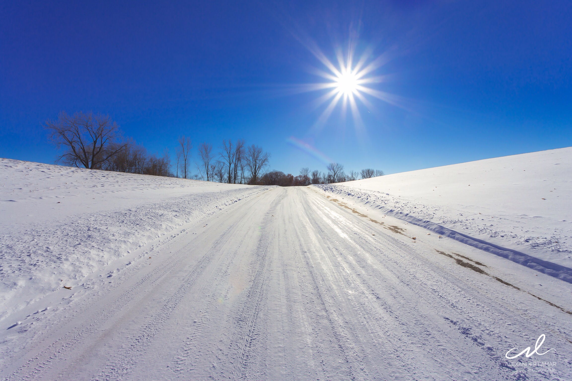
Clear blue sky on a cold wintery day in Minnesota.

Church of St. Wenceslaus
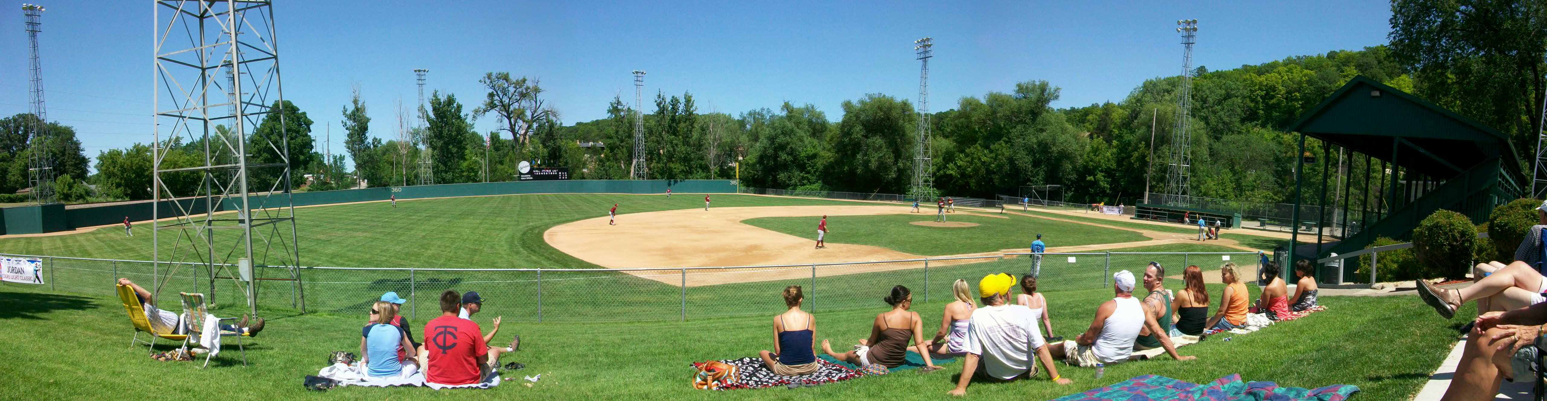
Panoramic View of Jordan's Mini-Met Field
View from Site 12

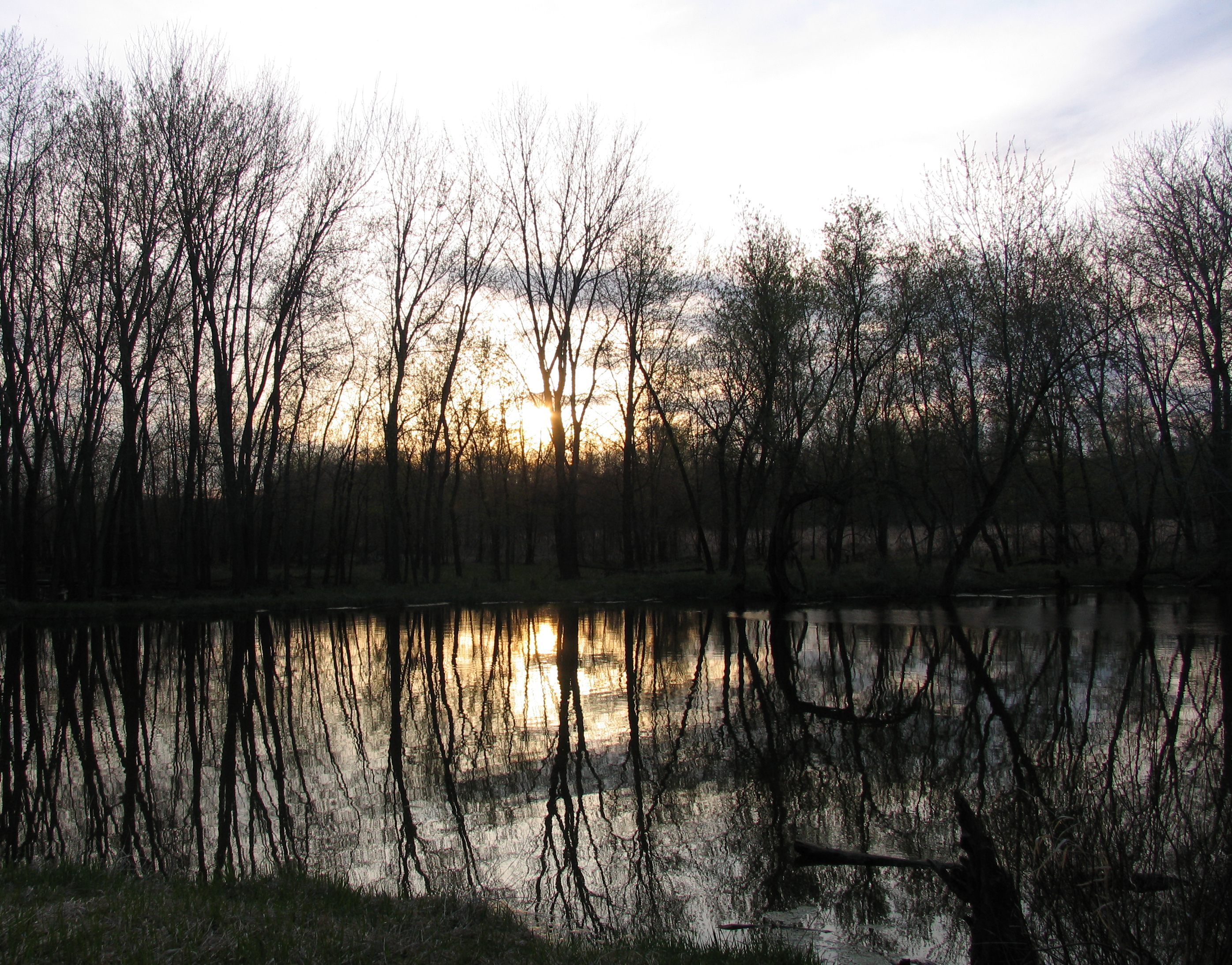
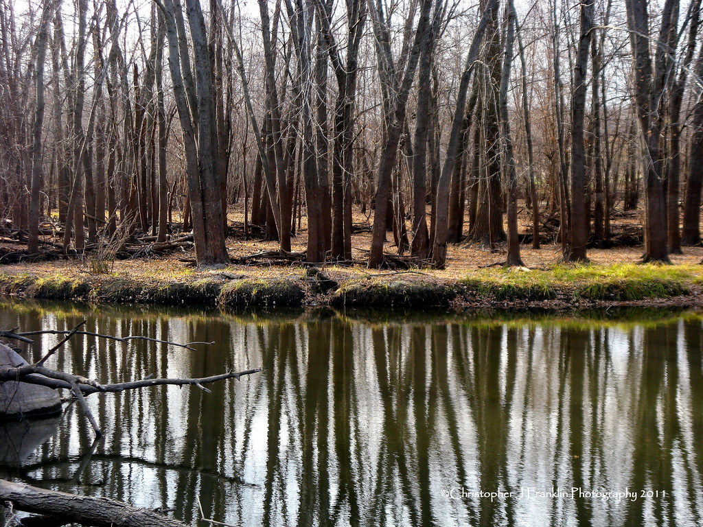
Minnesota Valley State Trail

Kids Wall Art

Minnesota Valley State Trail

East Union Lutheran Church
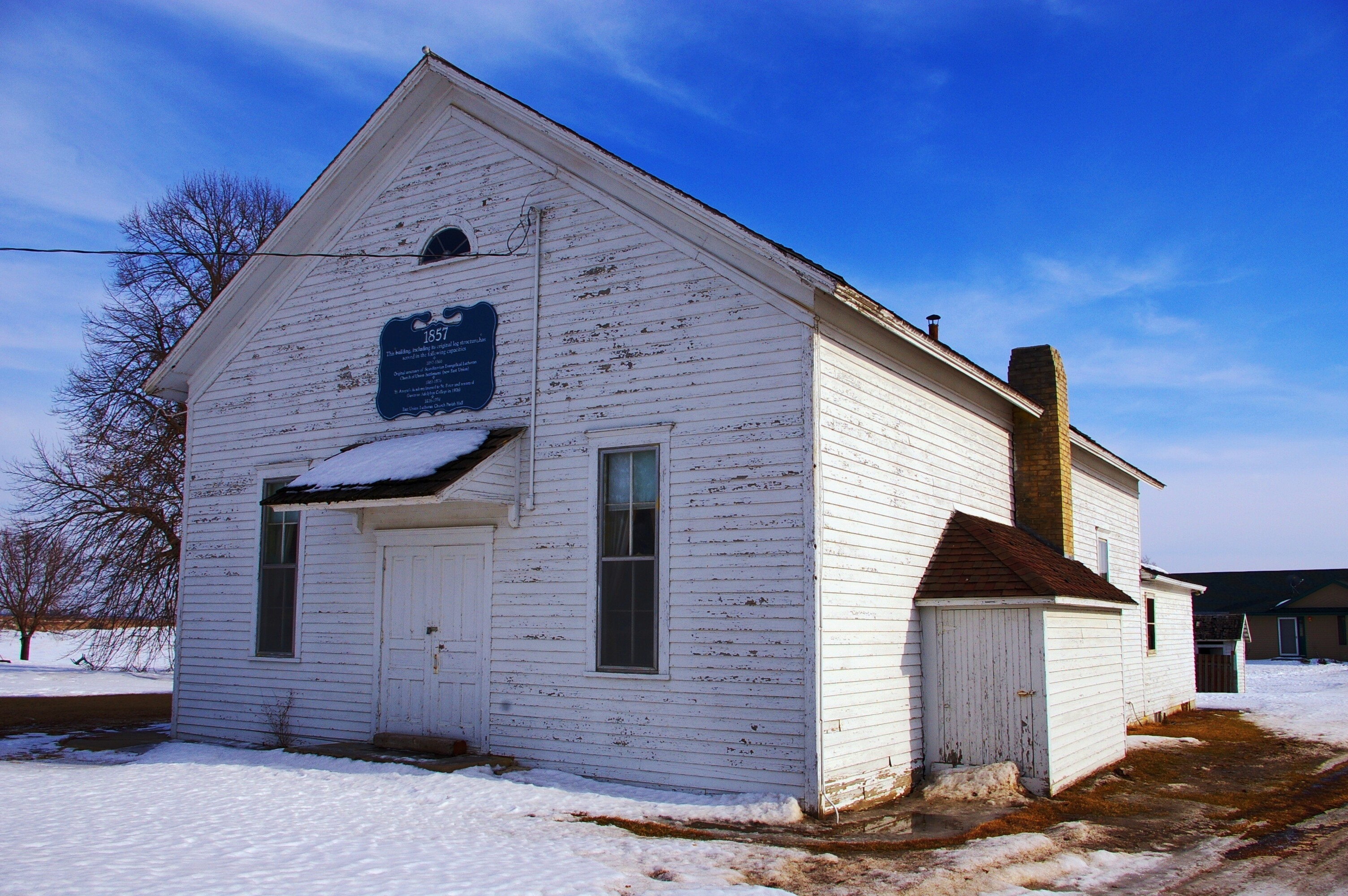
Original East Union Lutheran Church

East Union Church
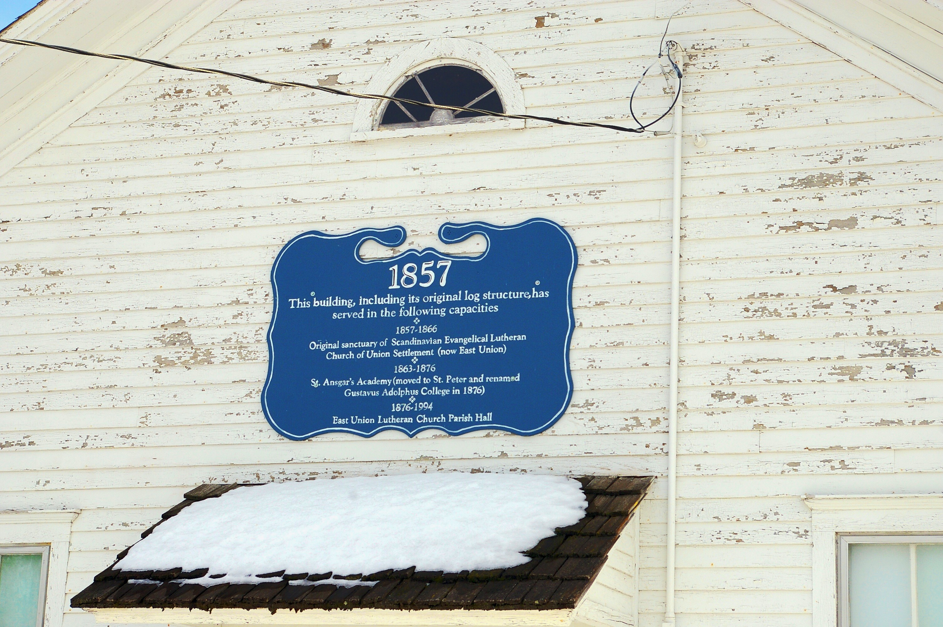
Original East Union Lutheran Church
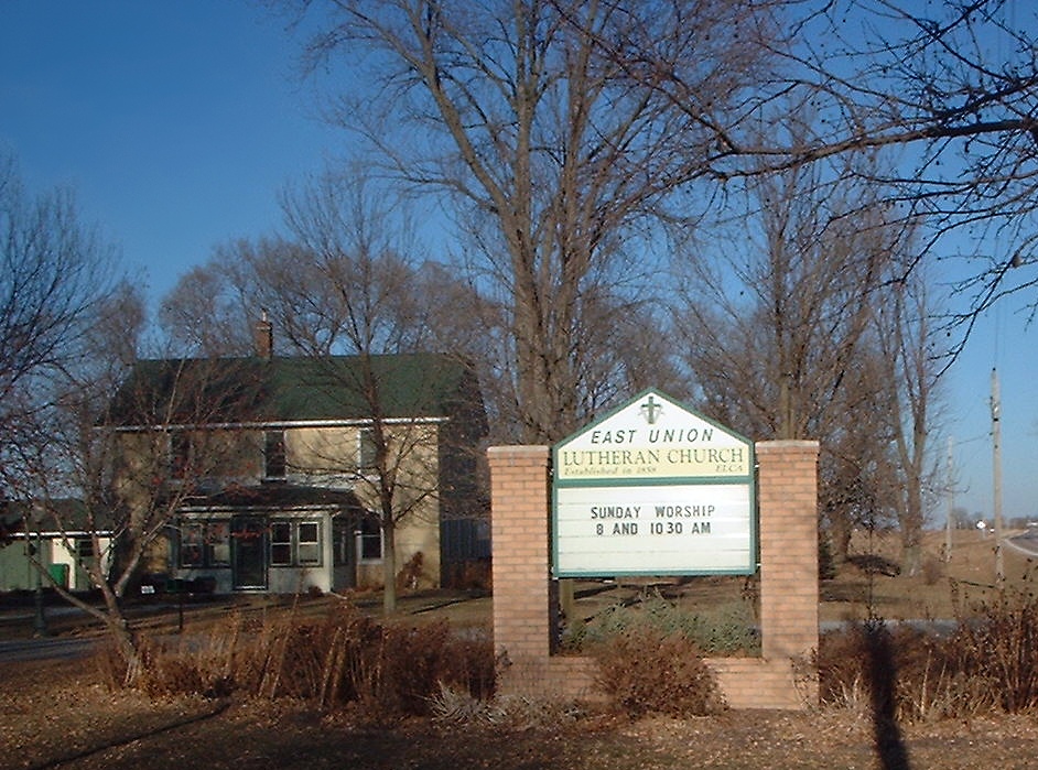
East Union Lutheran Church

summer sunset over the corn fields
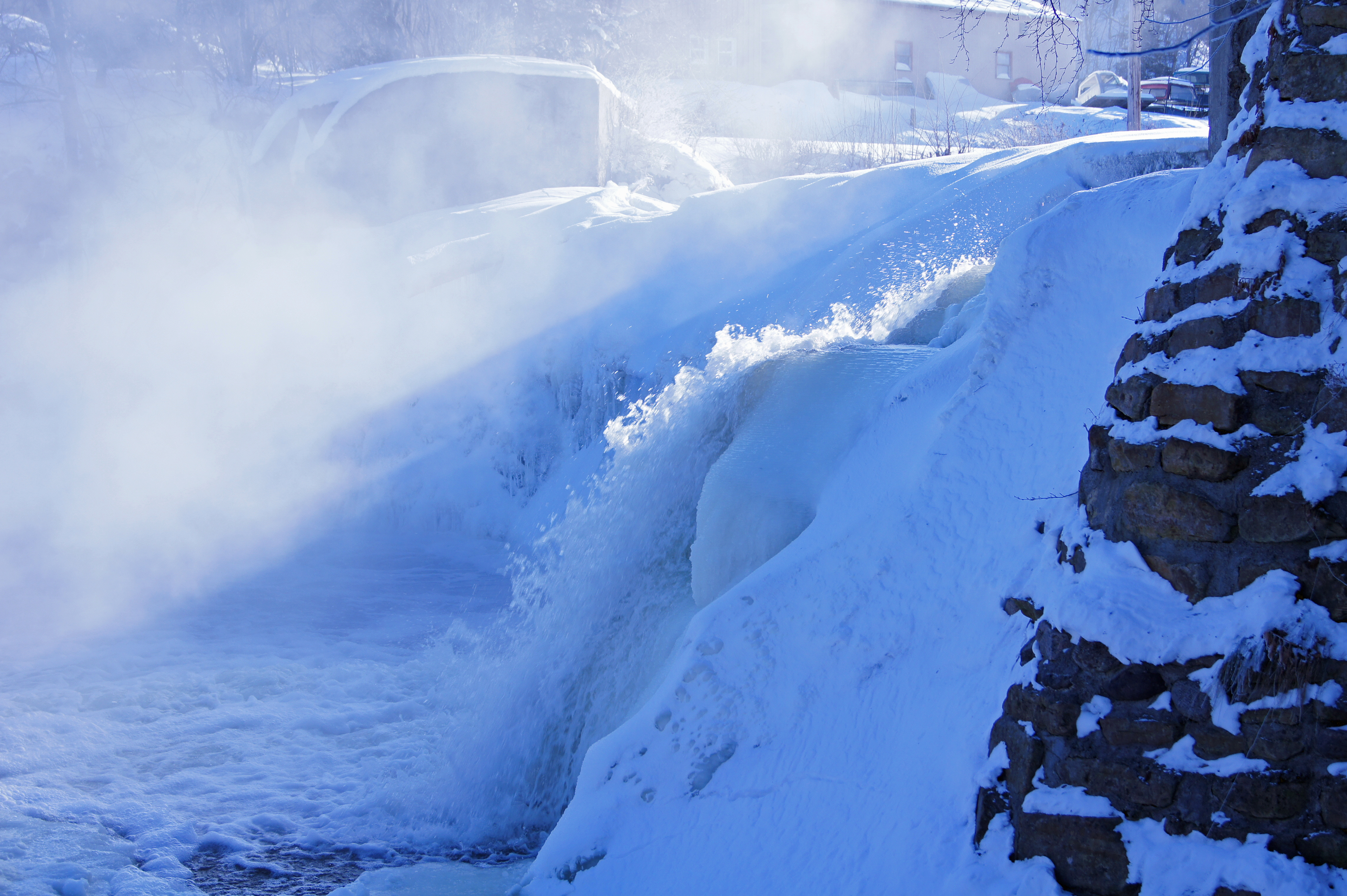
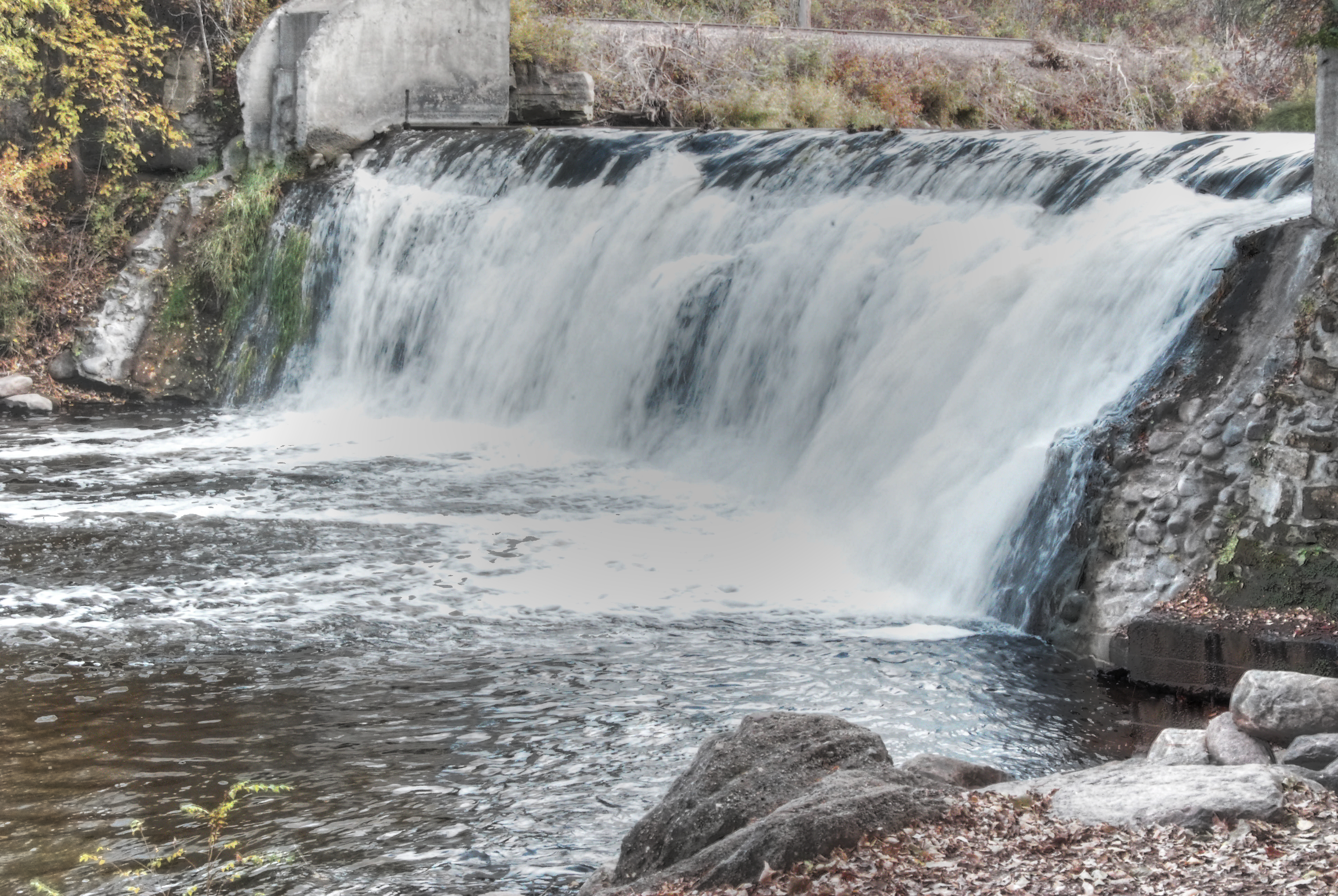
wf splash

Sun Setting 118/365/2009
Our Spot
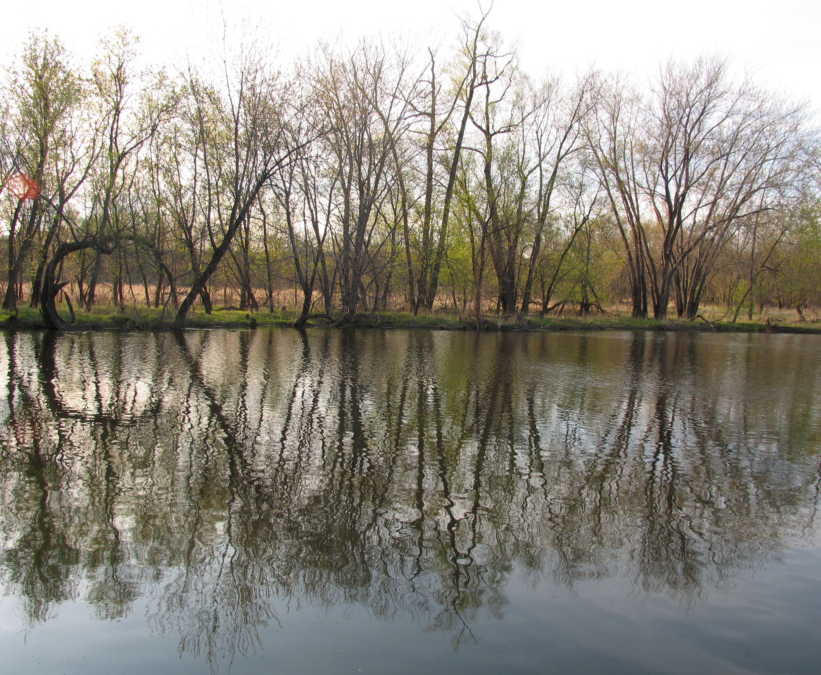
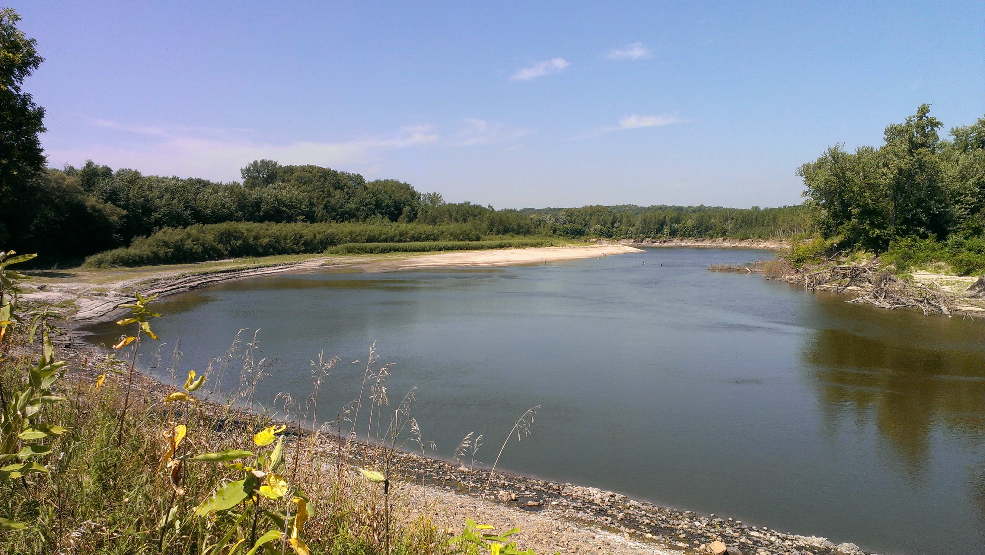
Minnesota Valley SRA, Lawrence Unit

birds on the cattails

Minnesota Valley State Recreation Area (Jordan, MN) on 18 APR 2012

Gimme some of that crisp golden light--one of my favorite parts of fall // #whpsignsoftheseason #chasinglight #exploremn #vscocam #vsco
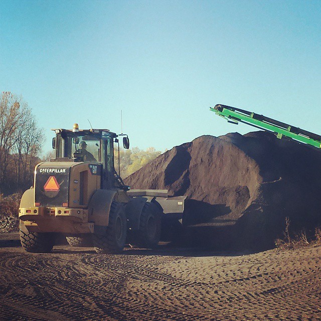
My new job, landscaping....With Smiley

Behind the Tree or maybe in front of it.

Sun Dogs 6

Sun Dogs 1

Sun Dogs 2

Good night, earth. I'll see you when the sun comes out. // #vscocam #chasinglight #exploremn #minnesota
2013-08-25 12.46.11
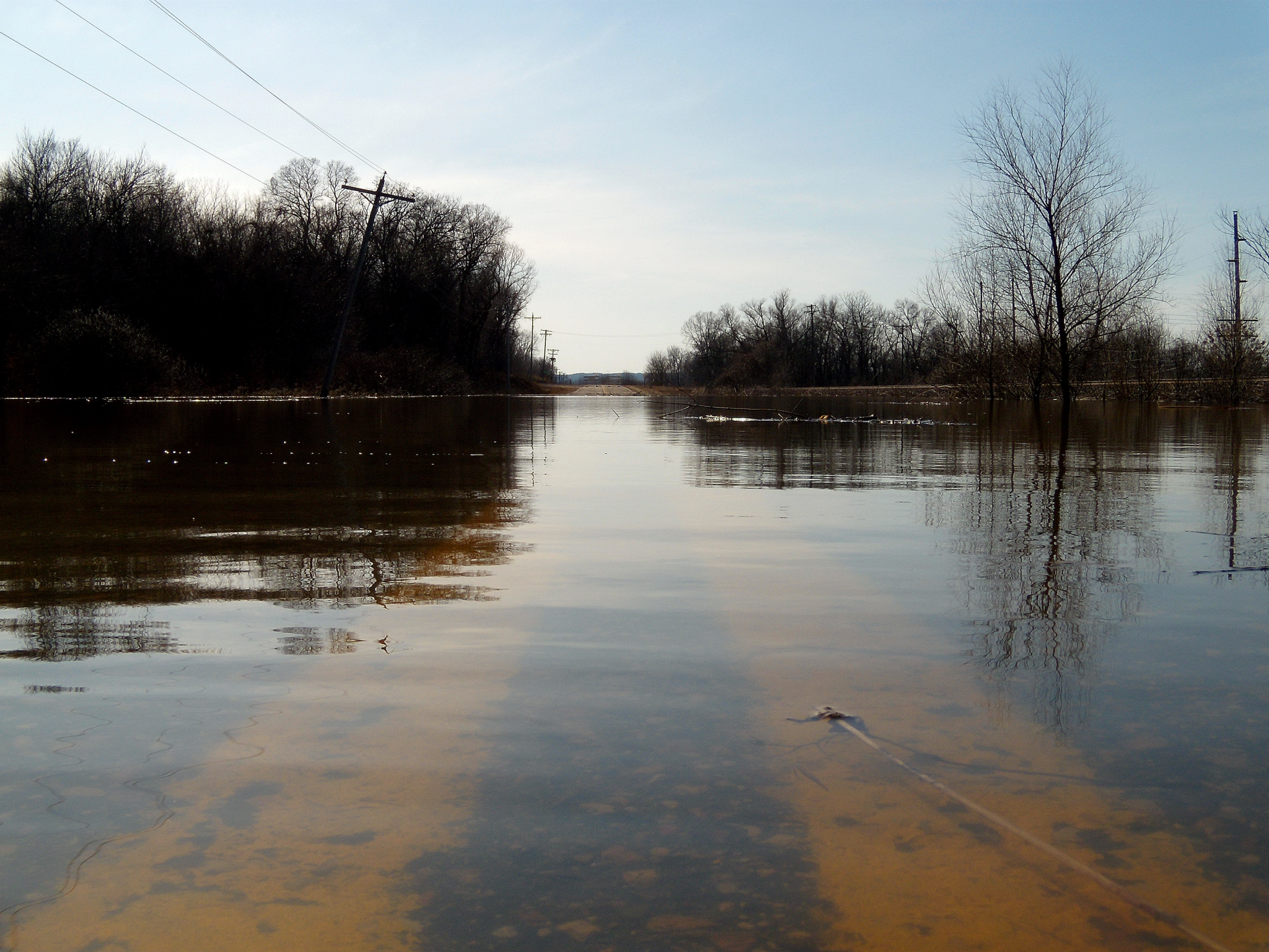
flooded lanes
Waterfall - Lagoon Park

Sun Dogs 9
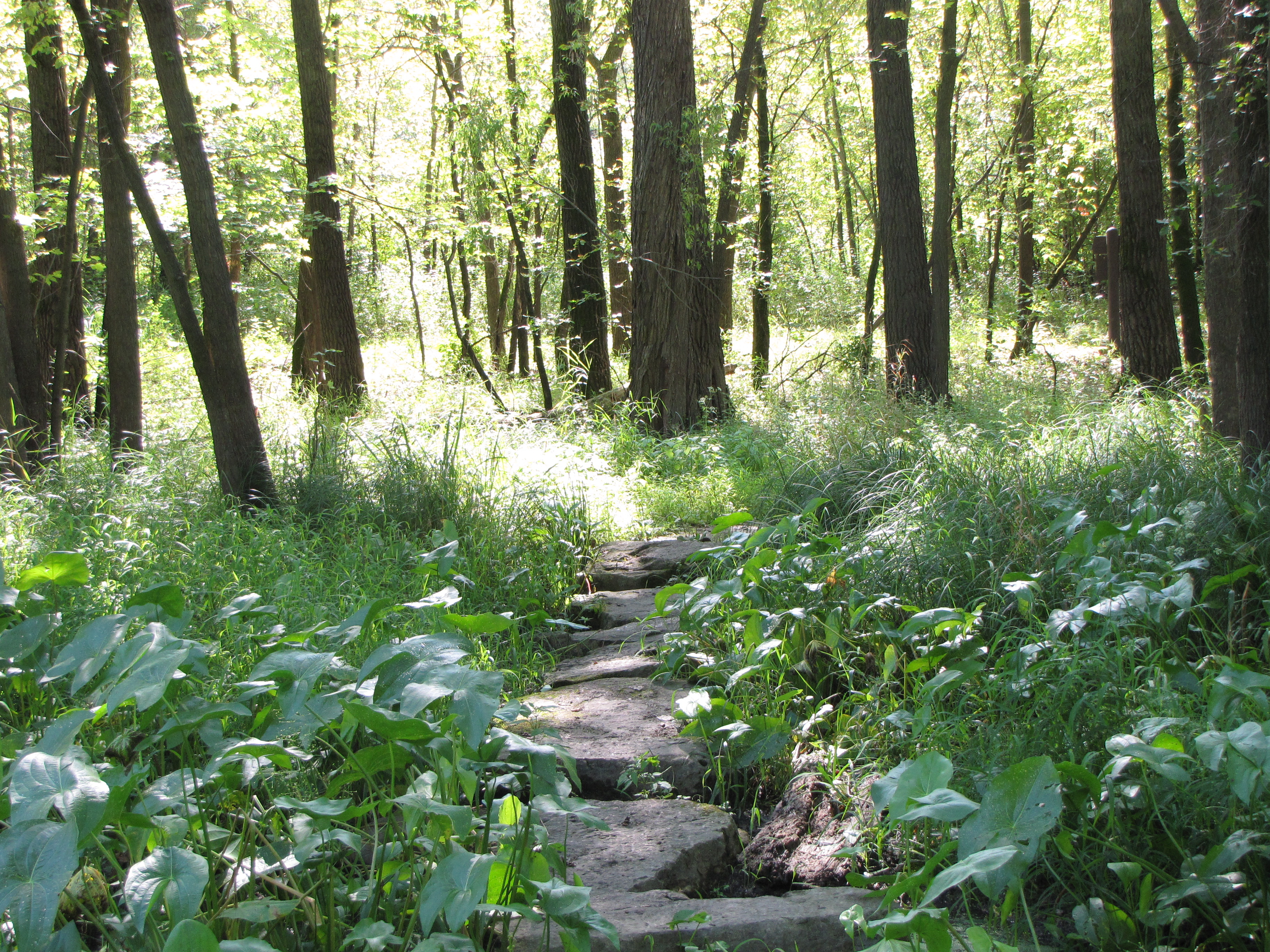
Path Through the Woods

Minnesota Valley State Recreation Area (Jordan, MN) on 18 APR 2012
New Prague
Topographic Map of Belle Plaine Township, MN, USA
Find elevation by address:

Places near Belle Plaine Township, MN, USA:
6376 W 270th St
St. Lawrence Township
US-, Jordan, MN, USA
Scott County Fair Grounds, Minnesota
S Meridian St, Belle Plaine, MN, USA
Belle Plaine
510 Lodge Dr
120 S Willow St
215 W Beaver St
215 W Beaver St
215 W Beaver St
Jordan
New Prague
215 Main St E
1102 9th St Se
301 Chalupsky Ave Se
Lexington Rd, Le Center, MN, USA
Sand Creek Township
Tyrone Township
15224 County Rd 40
Recent Searches:
- Elevation of Vista Blvd, Sparks, NV, USA
- Elevation of 15th Ave SE, St. Petersburg, FL, USA
- Elevation of Beall Road, Beall Rd, Florida, USA
- Elevation of Leguwa, Nepal
- Elevation of County Rd, Enterprise, AL, USA
- Elevation of Kolchuginsky District, Vladimir Oblast, Russia
- Elevation of Shustino, Vladimir Oblast, Russia
- Elevation of Lampiasi St, Sarasota, FL, USA
- Elevation of Elwyn Dr, Roanoke Rapids, NC, USA
- Elevation of Congressional Dr, Stevensville, MD, USA