Elevation of Monteview, ID, USA
Location: United States > Idaho > Jefferson County >
Longitude: -112.53621
Latitude: 43.9716738
Elevation: 1461m / 4793feet
Barometric Pressure: 85KPa
Elevation Map:
Satellite Map:
Related Photos:

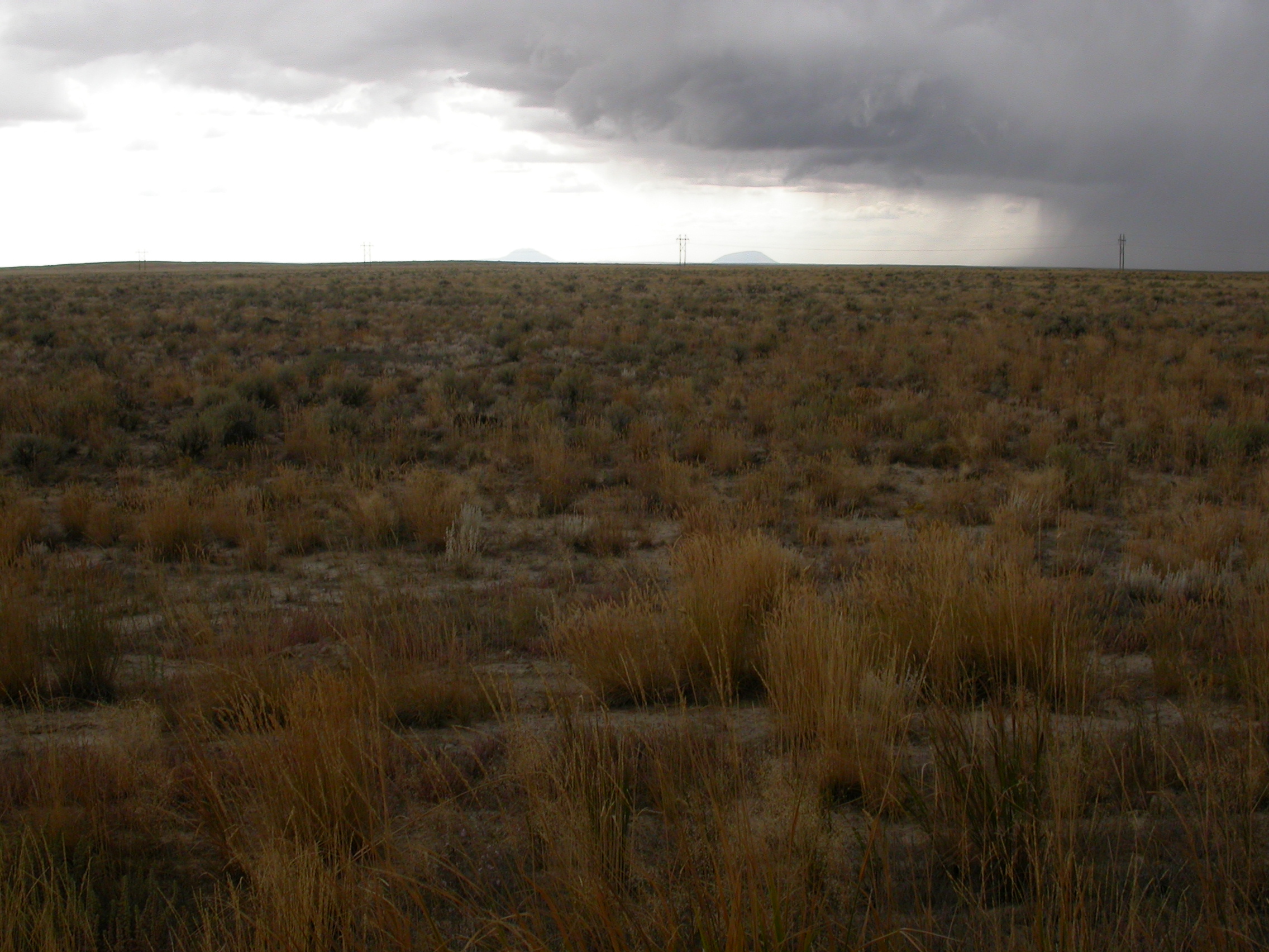
Many Clouds 2
Agropyron cristatum

Middle of nowhere road intersection

ID-22 West Approaching ID-28

Middle of nowhere road intersection

Many Clouds 1

Two Mountain Ranges Terminating in One Photo
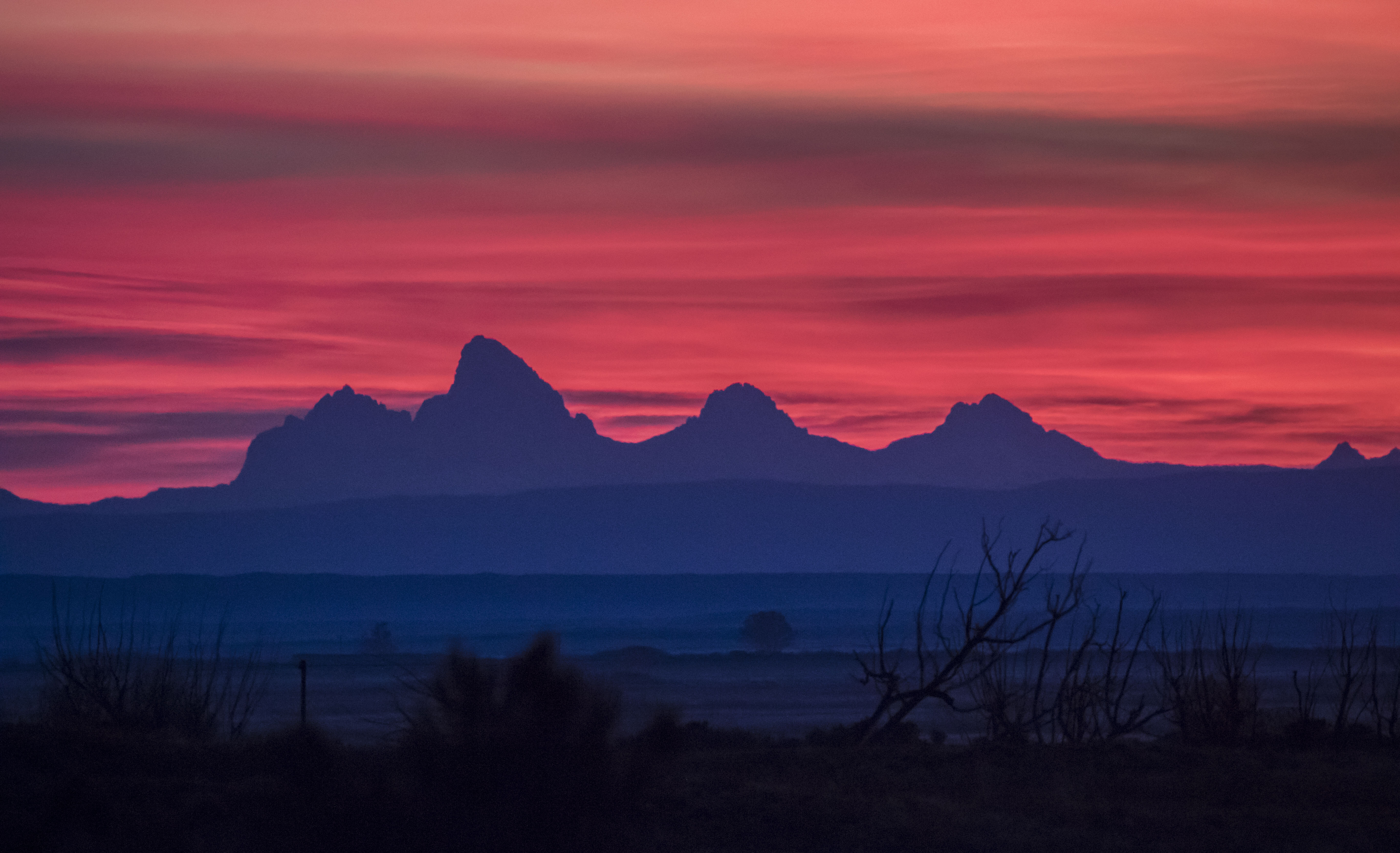
East Idaho Sunrise

Love to the fam at 70mph
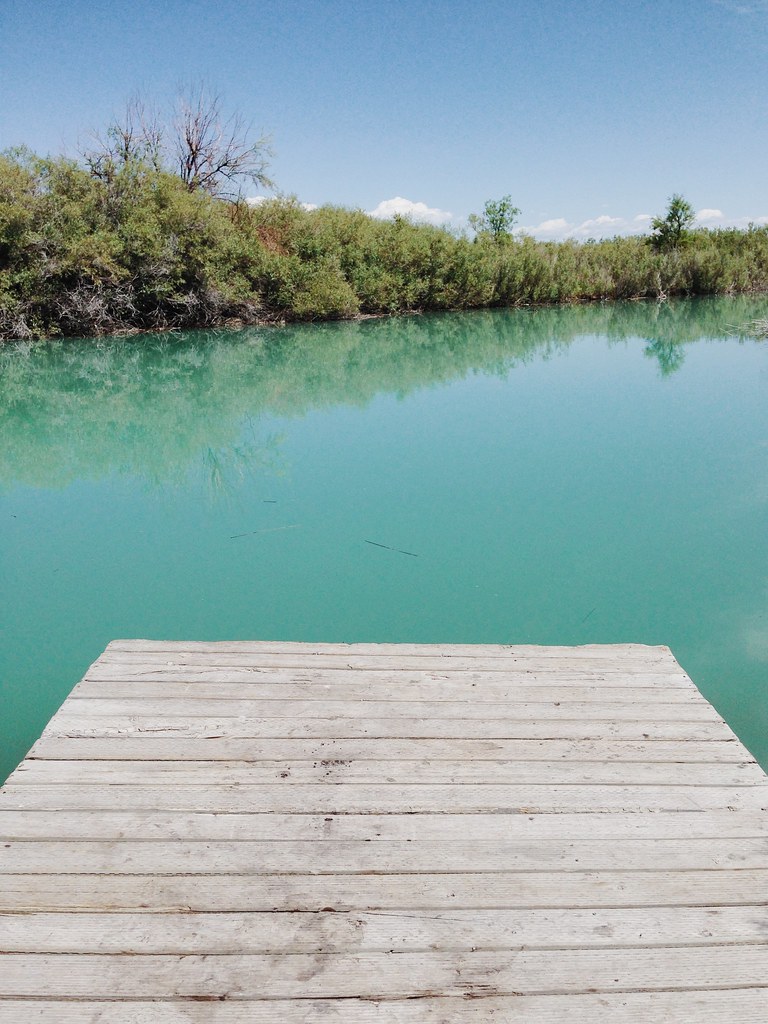
Turquoise in Terreton

Finally! Wireless Electricity is Here!

Mud Lake Storefront

Cropduster #3 of this trip

solitary sandpiper
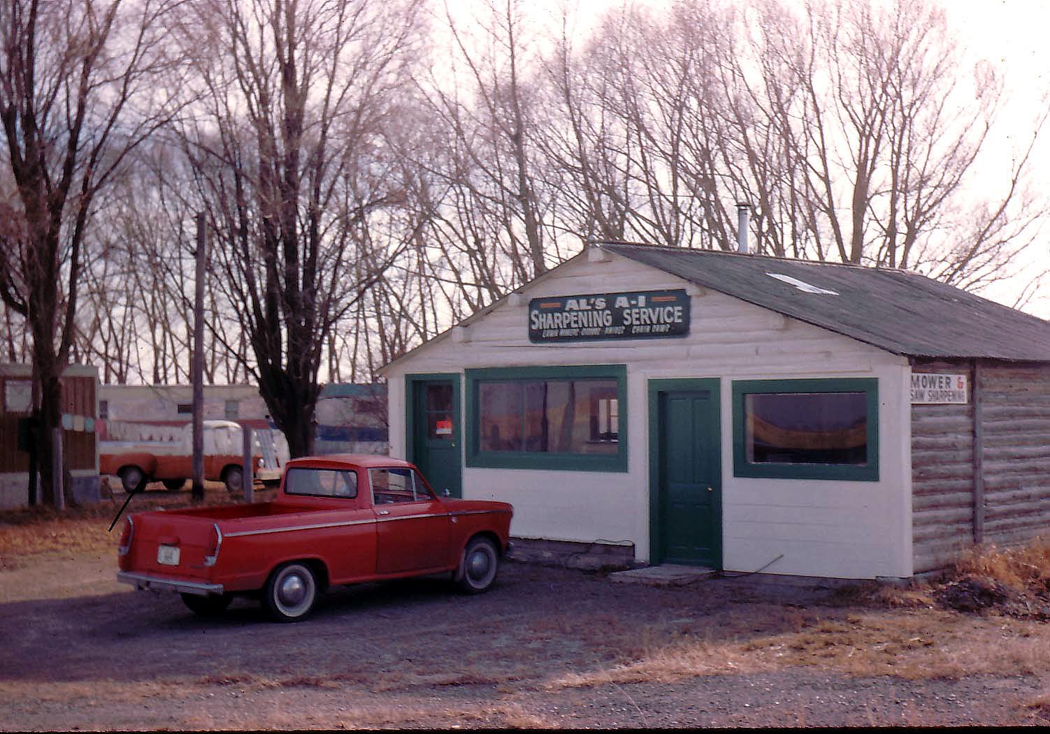
Al Violette's repair shop in Mud Lake Idaho in 1966.

Then and now....60 years

sandhill crane

snow geese 1
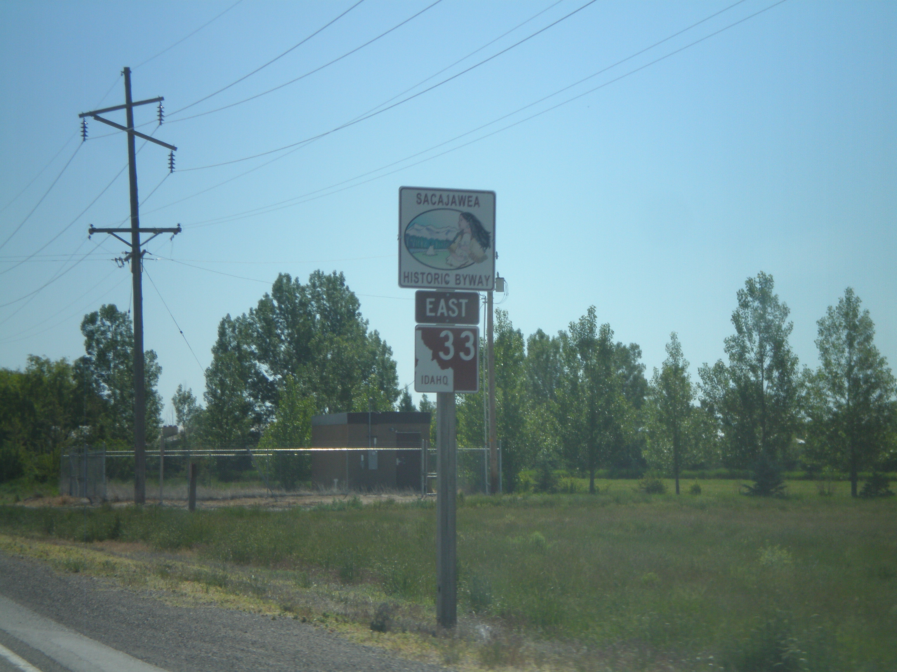
ID-33 East - Sacajawea Historic Byway

ID-33 East at ID-28

ID-22 West at ID-28

ID-22 West Approaching ID-28

ID-22 West - Idaho National Laboratory
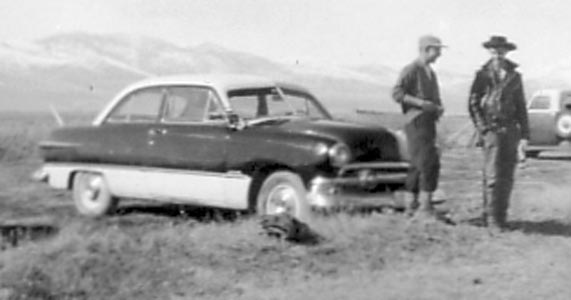
1951 Ford. Gene Mitchell and Glenn Pershall.
Topographic Map of Monteview, ID, USA
Find elevation by address:

Places in Monteview, ID, USA:
Places near Monteview, ID, USA:
N E, Monteview, ID, USA
Horse Ridge
Copper Mountain
Bluebird Mountain
Heart Mountain
Saddle Mountain
Fritz Peak
Scott Peak
Fritz Creek Trailhead
Italian Peak
Howe
Red Conglomerate Peaks South
Garfield Mountain
Lima Peaks West
Lima Peaks East
3574 Middle Fork Little Sheep Creek
Eighteenmile Peak
114 S Harrison St
Lima
White Pine Ridge
Recent Searches:
- Elevation of Elwyn Dr, Roanoke Rapids, NC, USA
- Elevation of Congressional Dr, Stevensville, MD, USA
- Elevation of Bellview Rd, McLean, VA, USA
- Elevation of Stage Island Rd, Chatham, MA, USA
- Elevation of Shibuya Scramble Crossing, 21 Udagawacho, Shibuya City, Tokyo -, Japan
- Elevation of Jadagoniai, Kaunas District Municipality, Lithuania
- Elevation of Pagonija rock, Kranto 7-oji g. 8"N, Kaunas, Lithuania
- Elevation of Co Rd 87, Jamestown, CO, USA
- Elevation of Tenjo, Cundinamarca, Colombia
- Elevation of Côte-des-Neiges, Montreal, QC H4A 3J6, Canada