Elevation of Fritz Peak, Idaho, USA
Location: United States > Idaho > Dubois >
Longitude: -112.74722
Latitude: 44.3807433
Elevation: 2893m / 9491feet
Barometric Pressure: 71KPa
Elevation Map:
Satellite Map:
Related Photos:

A Little to The Left
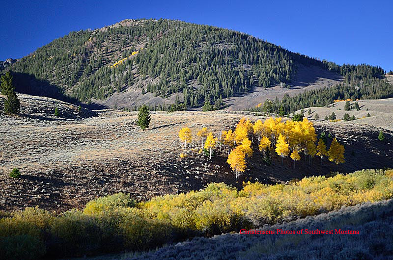
Fall Aspens

Golden Aspen

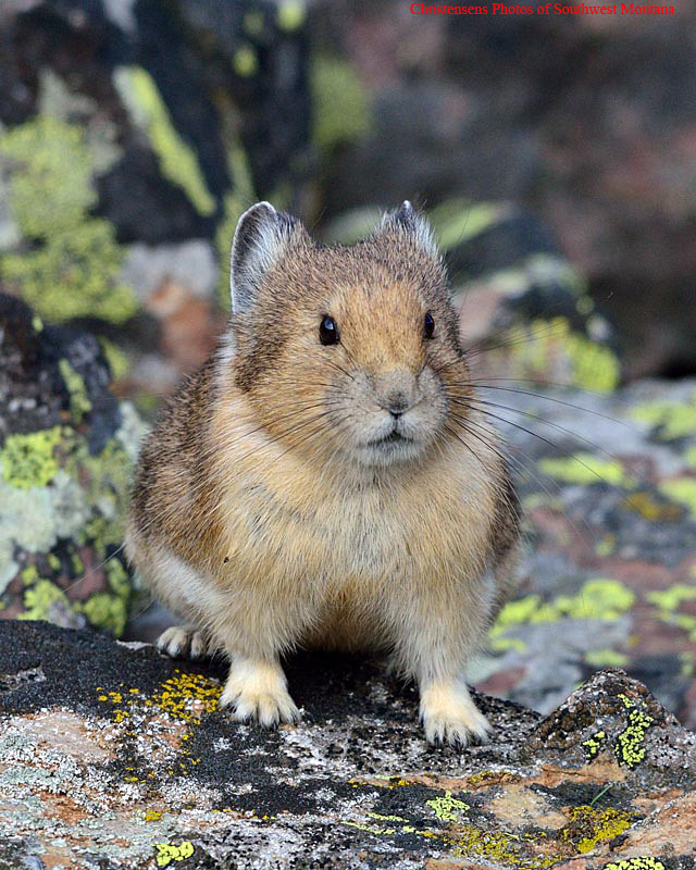
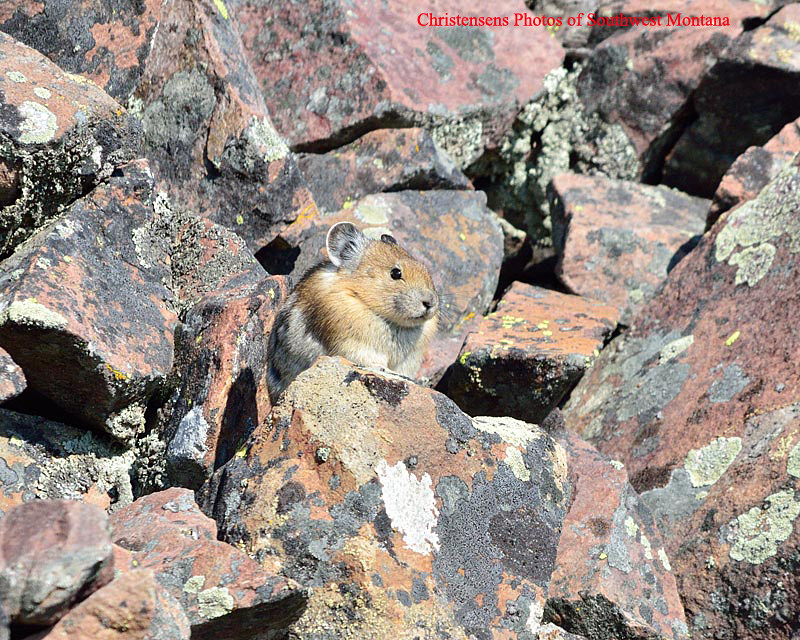
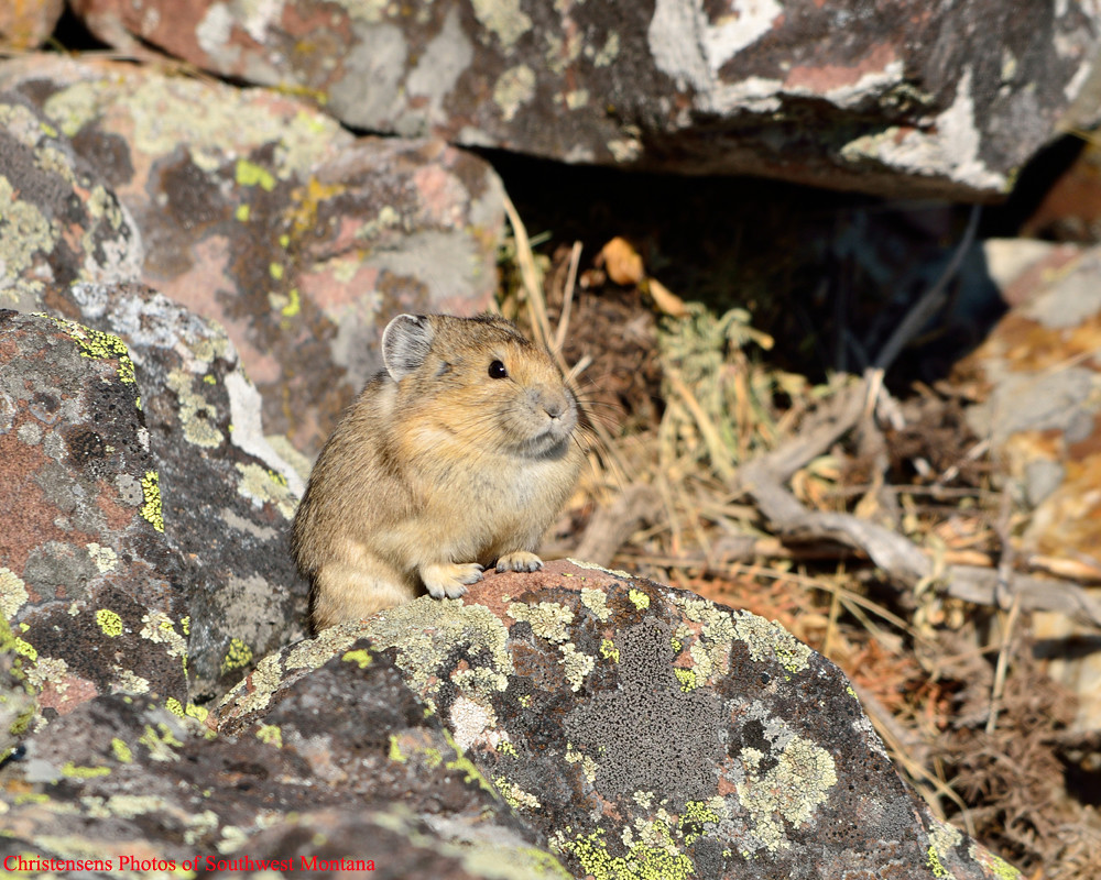
Fall Pika

Out of the Shadows
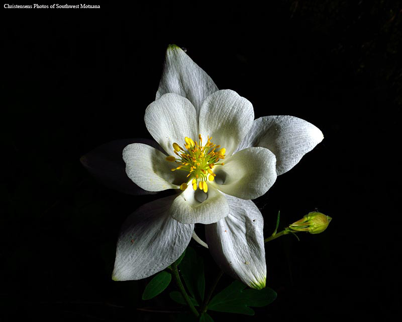
Wild Columbine
Happy New Year

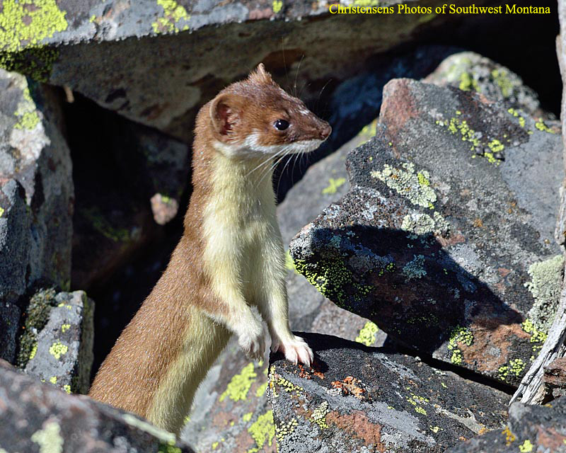
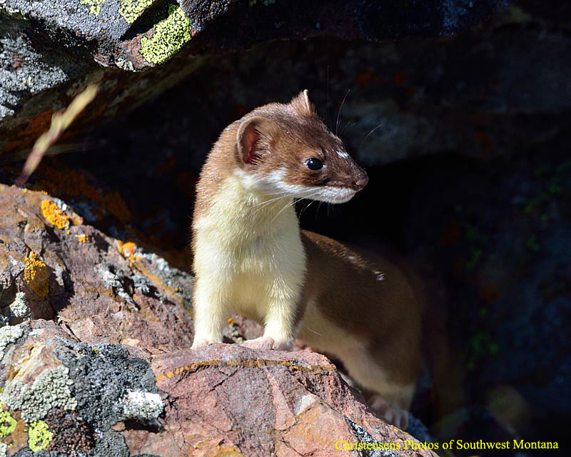
Weasel (Explored)

Adding Garnish

Shooting the Breeze
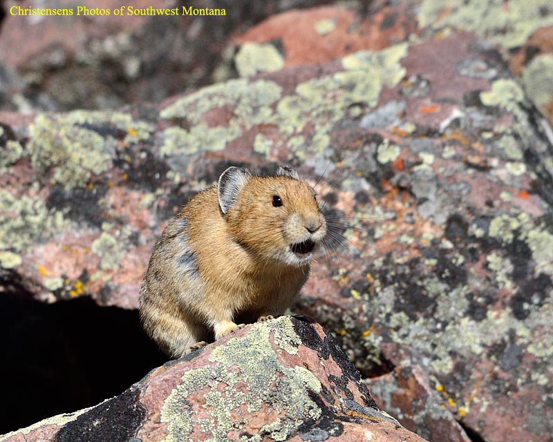
Hear Me Calling

Nicolia Creek Butterfly
Searching (Explored)

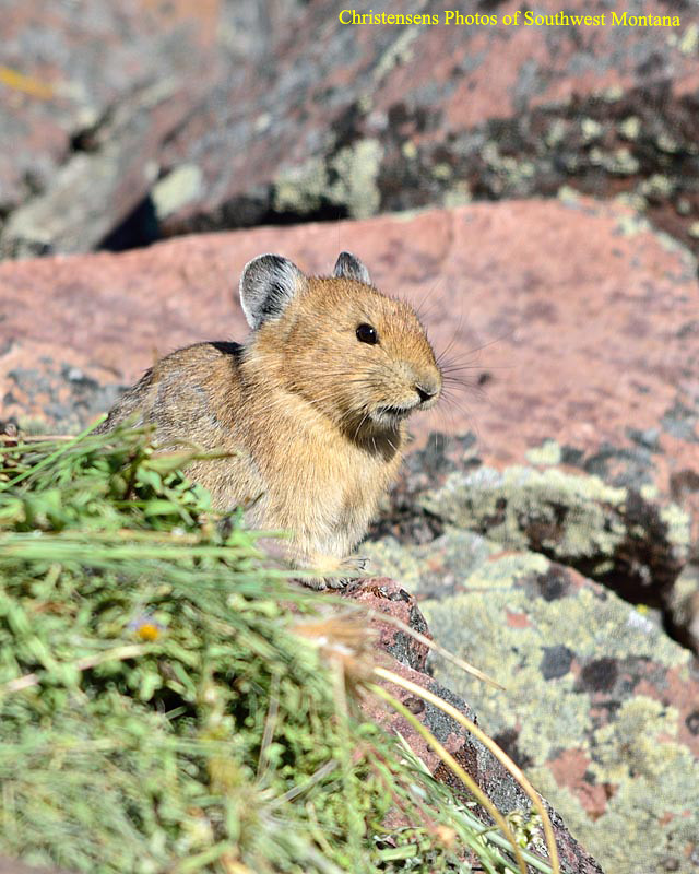
Pika Talk

Alert!!!!
On Guard
Pika Hunter (Explored)
On Guard

Orb Weaver 2

Wild Columbine

Orb Weaver

EEEEP!!!
I am Smiling

Is There Something In My Teeth

Nicholia Creek Chipmunk
Topographic Map of Fritz Peak, Idaho, USA
Find elevation by address:

Places near Fritz Peak, Idaho, USA:
Fritz Creek Trailhead
Heart Mountain
Scott Peak
Italian Peak
Horse Ridge
Bluebird Mountain
3574 Middle Fork Little Sheep Creek
Red Conglomerate Peaks South
Garfield Mountain
Lima Peaks West
Copper Mountain
Lima Peaks East
White Pine Ridge
Eighteenmile Peak
114 S Harrison St
Lima
Dixon Mountain
Dell
N E, Monteview, ID, USA
Monteview
Recent Searches:
- Elevation of Corso Fratelli Cairoli, 35, Macerata MC, Italy
- Elevation of Tallevast Rd, Sarasota, FL, USA
- Elevation of 4th St E, Sonoma, CA, USA
- Elevation of Black Hollow Rd, Pennsdale, PA, USA
- Elevation of Oakland Ave, Williamsport, PA, USA
- Elevation of Pedrógão Grande, Portugal
- Elevation of Klee Dr, Martinsburg, WV, USA
- Elevation of Via Roma, Pieranica CR, Italy
- Elevation of Tavkvetili Mountain, Georgia
- Elevation of Hartfords Bluff Cir, Mt Pleasant, SC, USA