Elevation of Middle Fork Little Sheep Creek, Lima, MT, USA
Location: United States > Montana > Lima >
Longitude: -112.70418
Latitude: 44.5404141
Elevation: 2152m / 7060feet
Barometric Pressure: 78KPa
Elevation Map:
Satellite Map:
Related Photos:
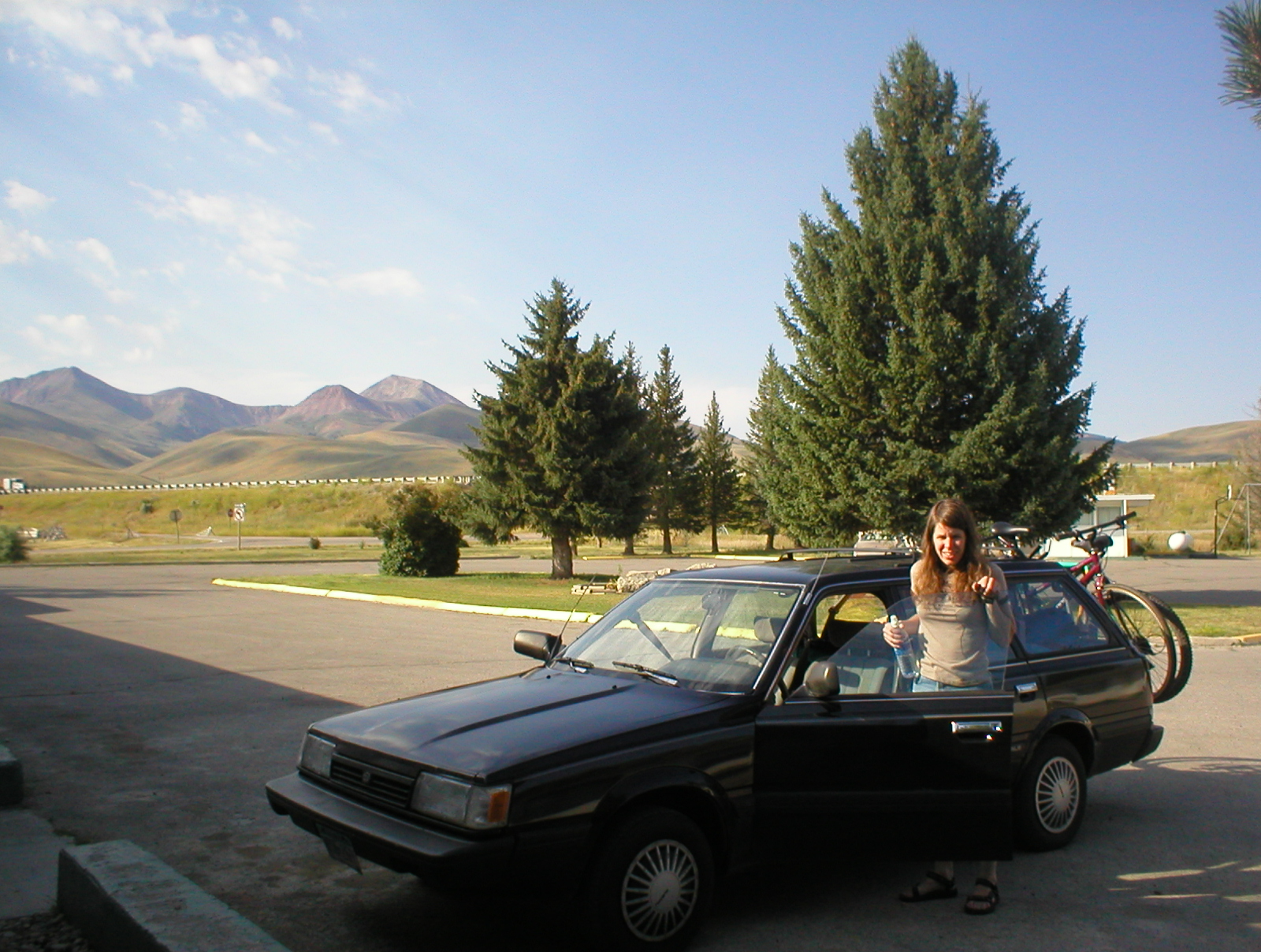
Saturday morning - Lima, Montana

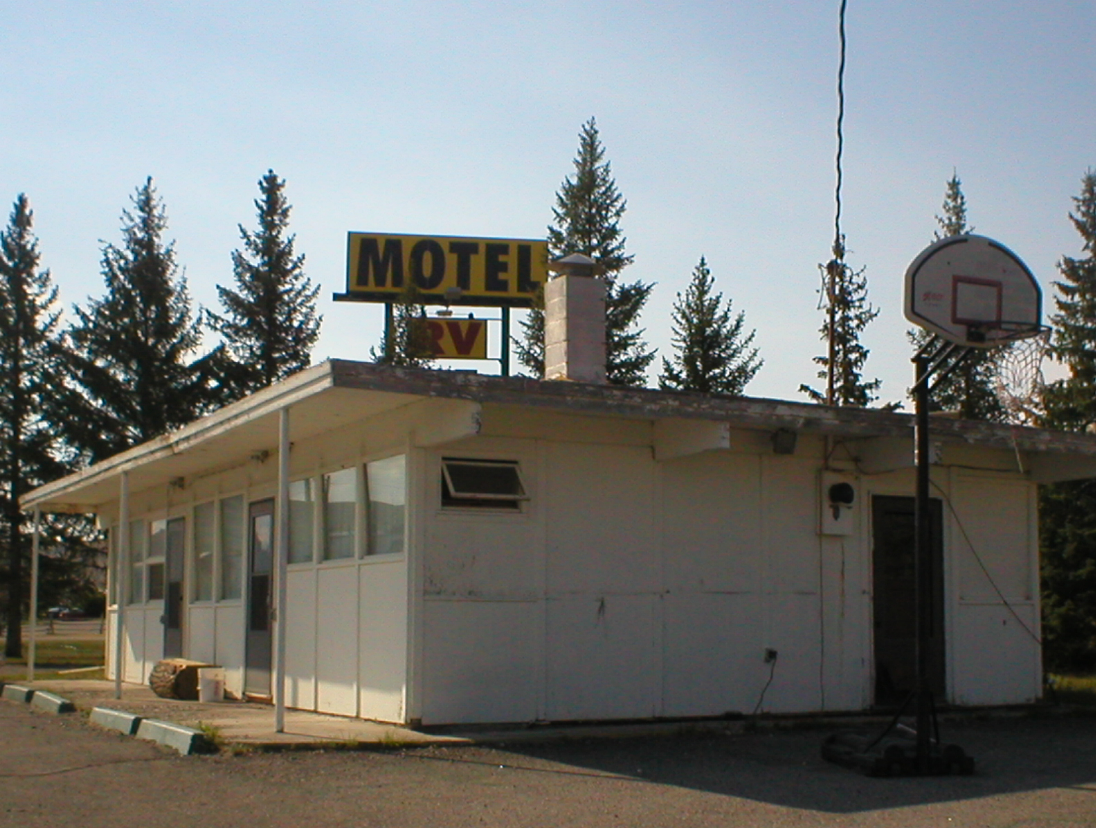
Mountain View Motel has home made muffins
Proprietors' Residence
it's cold out there
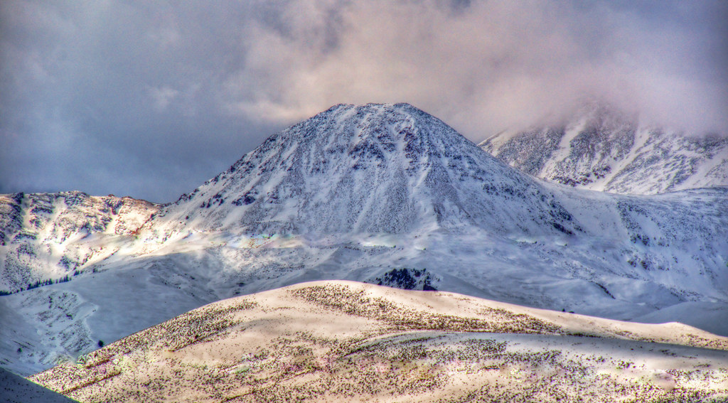
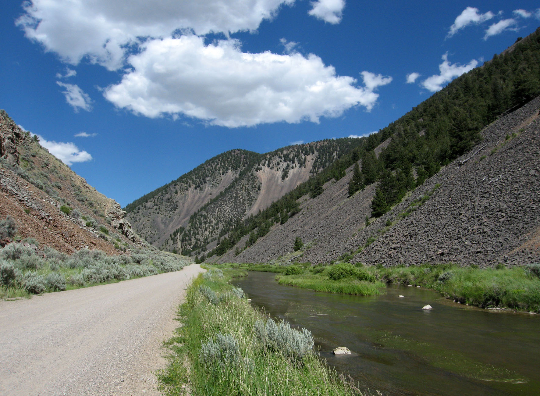
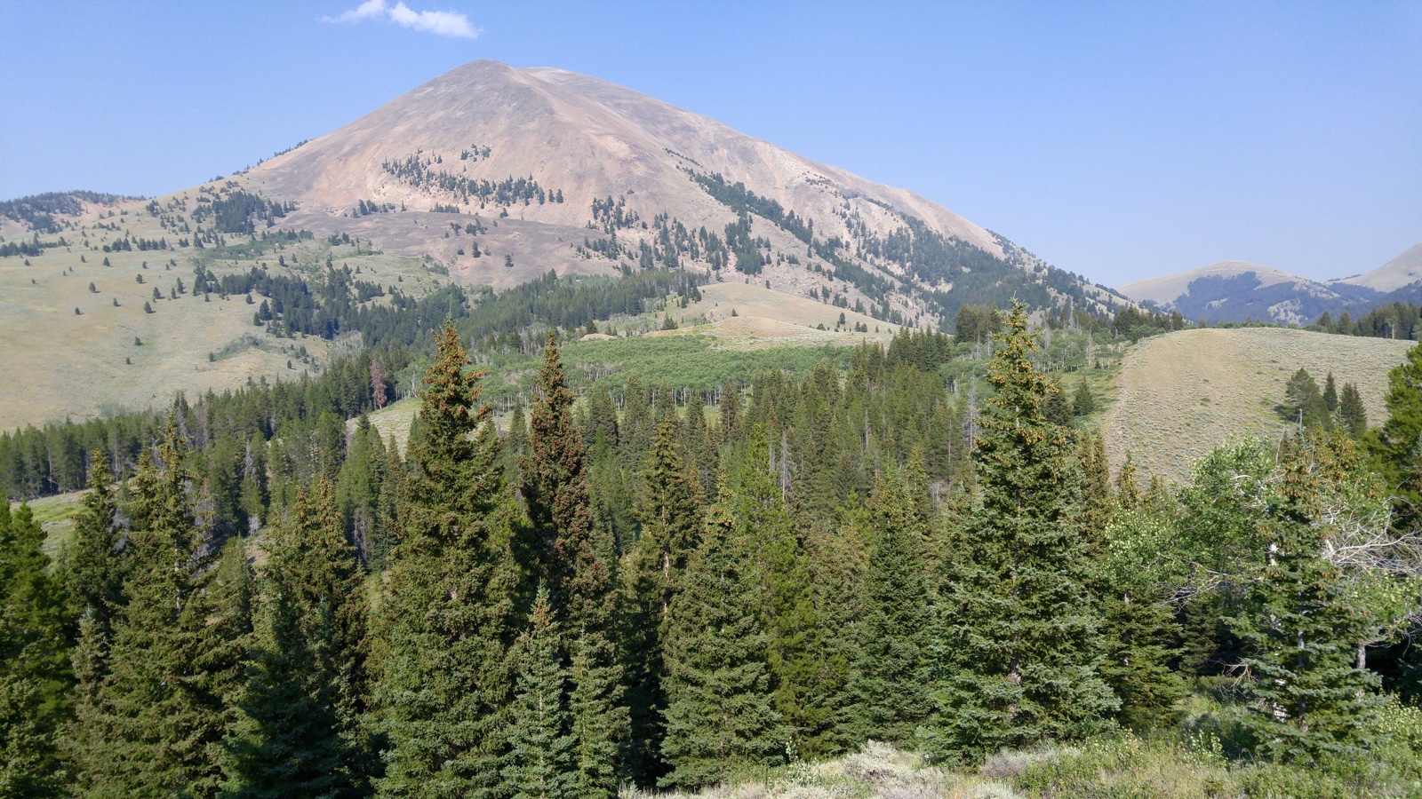
Garfield Mountain and Lima Peaks, Beaverhead County, MT
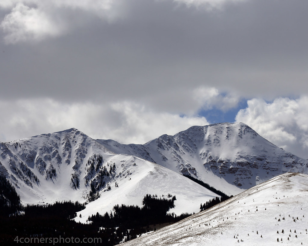
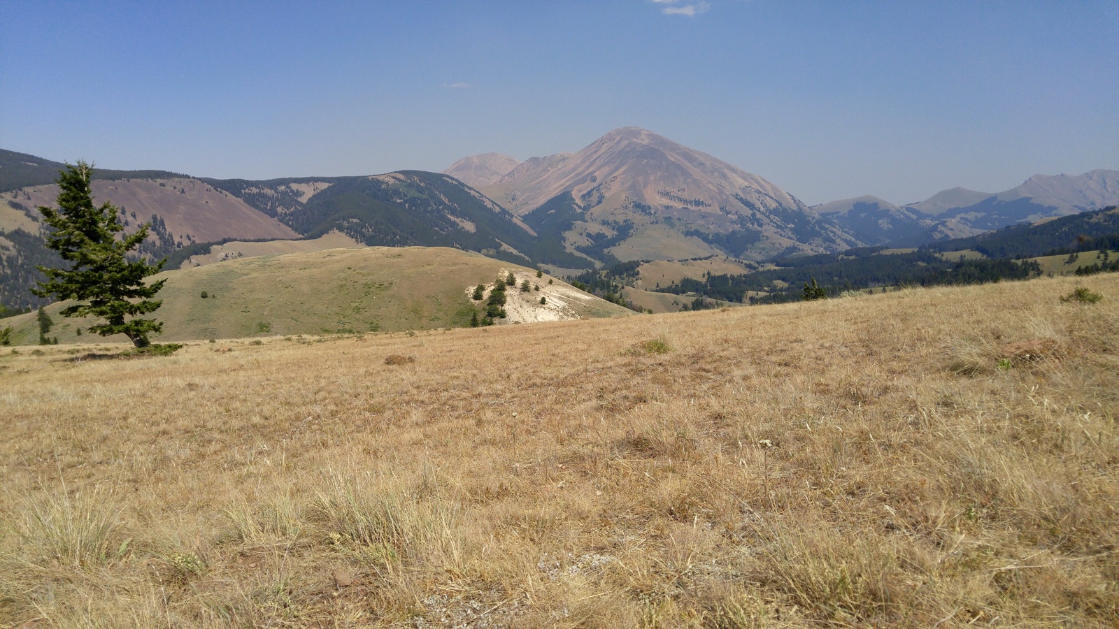
Medecine Lodge - Sheep Creek Divide (4) - Montana
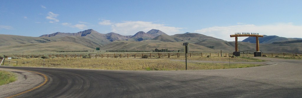
Welcome to Montana
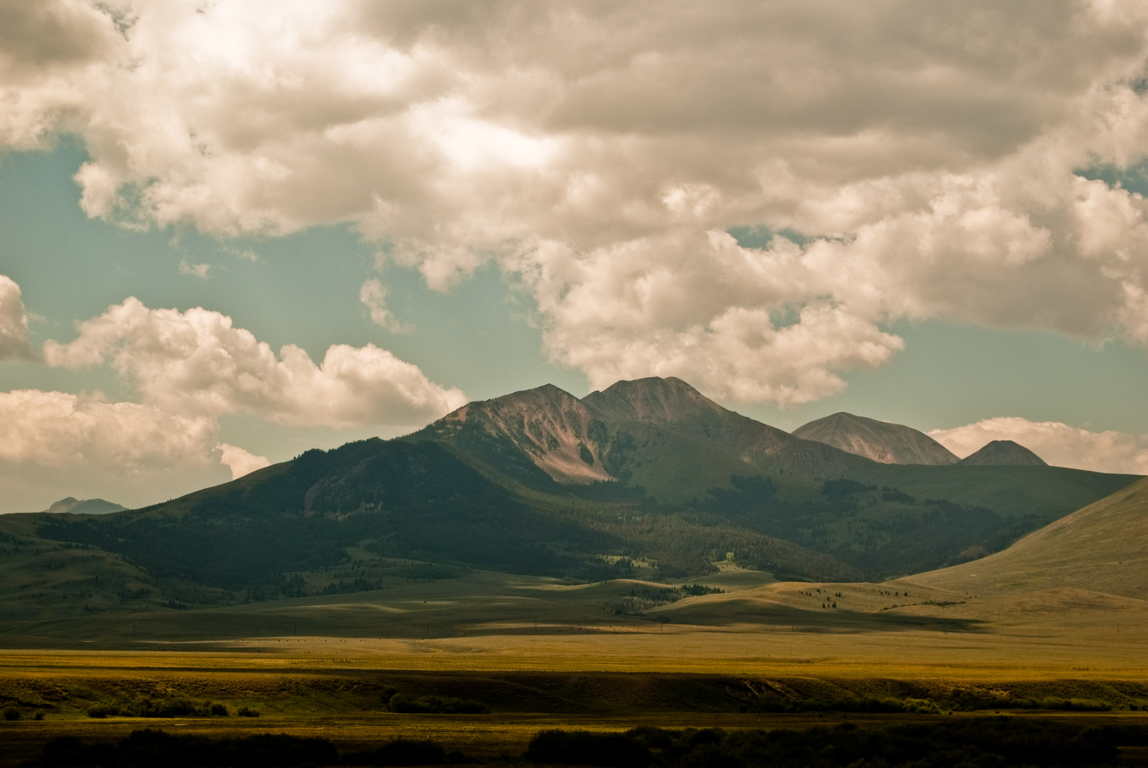
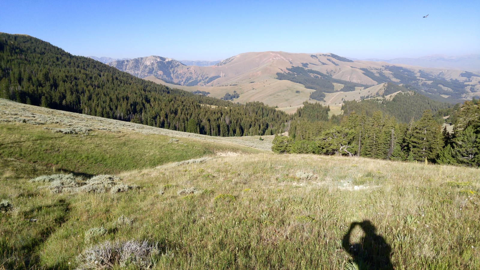
Southwestern Montana Landscape (Lima, Montana)

Lima, Montana

Southwestern Montana Landscape (Lima, Montana)
All Photos-351
All Photos-350
All Photos-348

All Photos-346
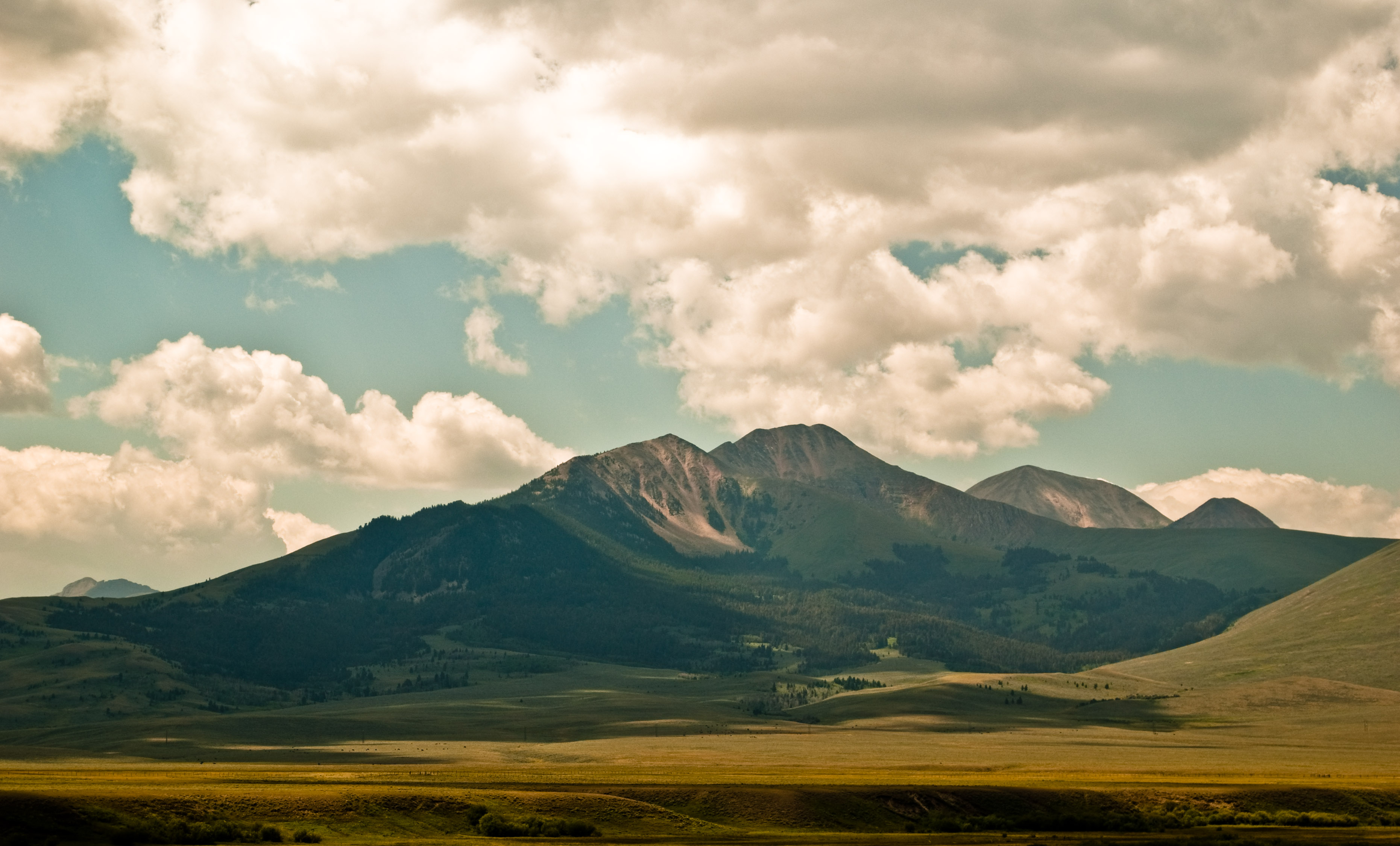
Welcome to Montana
Topographic Map of Middle Fork Little Sheep Creek, Lima, MT, USA
Find elevation by address:

Places near Middle Fork Little Sheep Creek, Lima, MT, USA:
Garfield Mountain
White Pine Ridge
Lima Peaks West
Red Conglomerate Peaks South
Lima Peaks East
Fritz Creek Trailhead
114 S Harrison St
Lima
Fritz Peak
Dixon Mountain
Dell
Scott Peak
Heart Mountain
Italian Peak
Eighteenmile Peak
Horse Ridge
Bluebird Mountain
Red Rock
Copper Mountain
Beaverhead Campground
Recent Searches:
- Elevation of Congressional Dr, Stevensville, MD, USA
- Elevation of Bellview Rd, McLean, VA, USA
- Elevation of Stage Island Rd, Chatham, MA, USA
- Elevation of Shibuya Scramble Crossing, 21 Udagawacho, Shibuya City, Tokyo -, Japan
- Elevation of Jadagoniai, Kaunas District Municipality, Lithuania
- Elevation of Pagonija rock, Kranto 7-oji g. 8"N, Kaunas, Lithuania
- Elevation of Co Rd 87, Jamestown, CO, USA
- Elevation of Tenjo, Cundinamarca, Colombia
- Elevation of Côte-des-Neiges, Montreal, QC H4A 3J6, Canada
- Elevation of Bobcat Dr, Helena, MT, USA