Elevation of MO-13, Clinton, MO, USA
Location: United States > Missouri > Henry County > Shawnee Township >
Longitude: -93.754191
Latitude: 38.474288
Elevation: 276m / 906feet
Barometric Pressure: 98KPa
Elevation Map:
Satellite Map:
Related Photos:

Furniture Store. Alley View. Missouri.
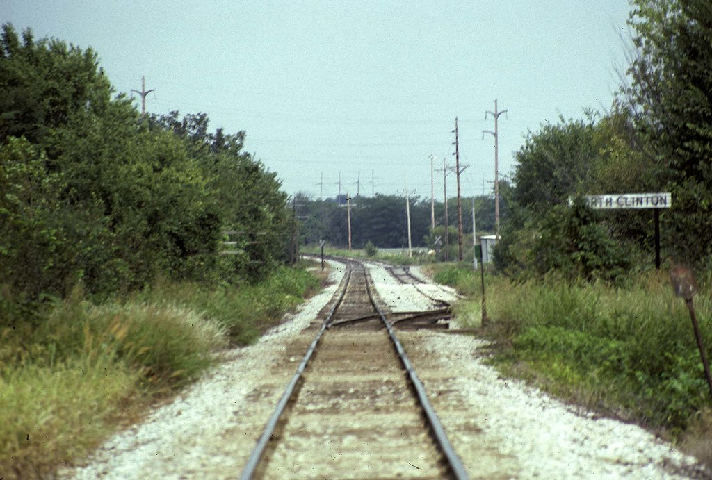
Nort Clinton Missouri on MKT
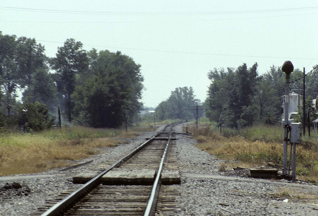
Appleton City MO
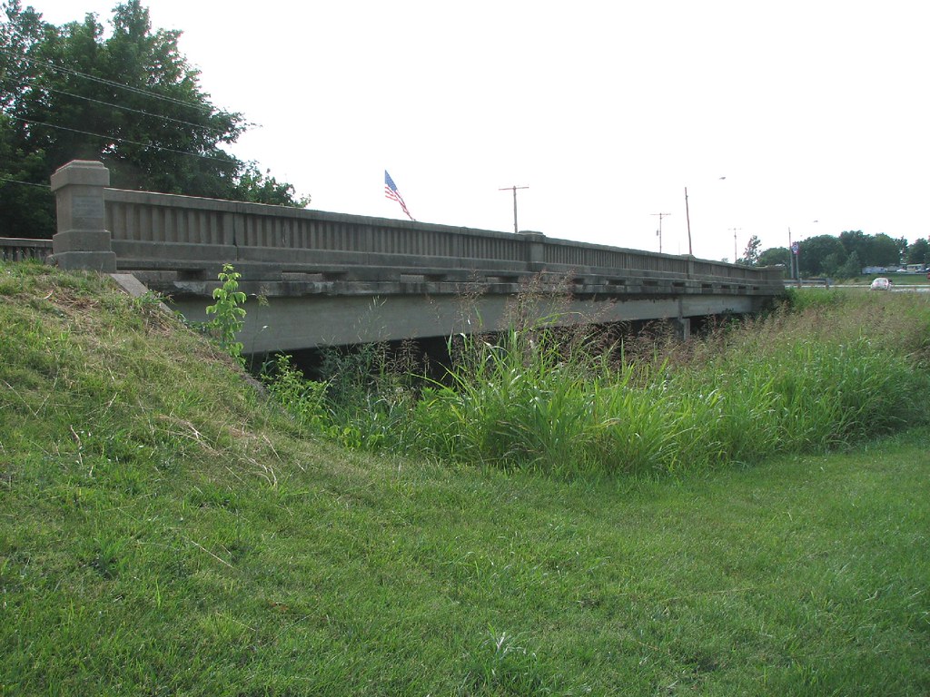
Town Creek Bridge-Side View

Yellow Tree [HDR]

Impailed Hopper Carcus

Yellow Tree

Tractor, Baler and Hay Bale
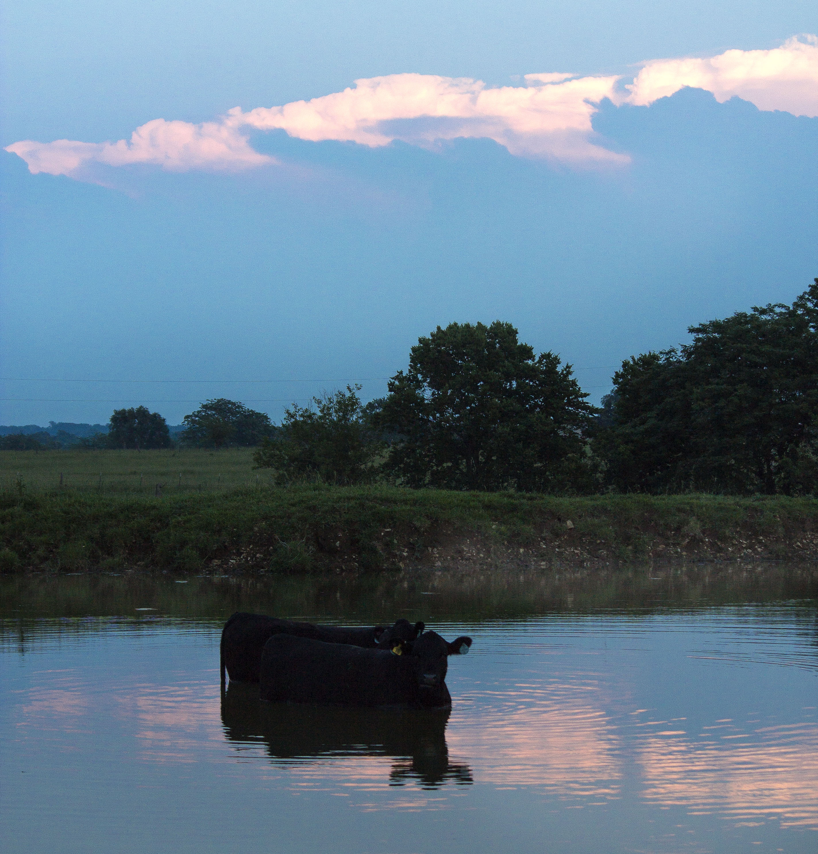
Cows bathing at dusk
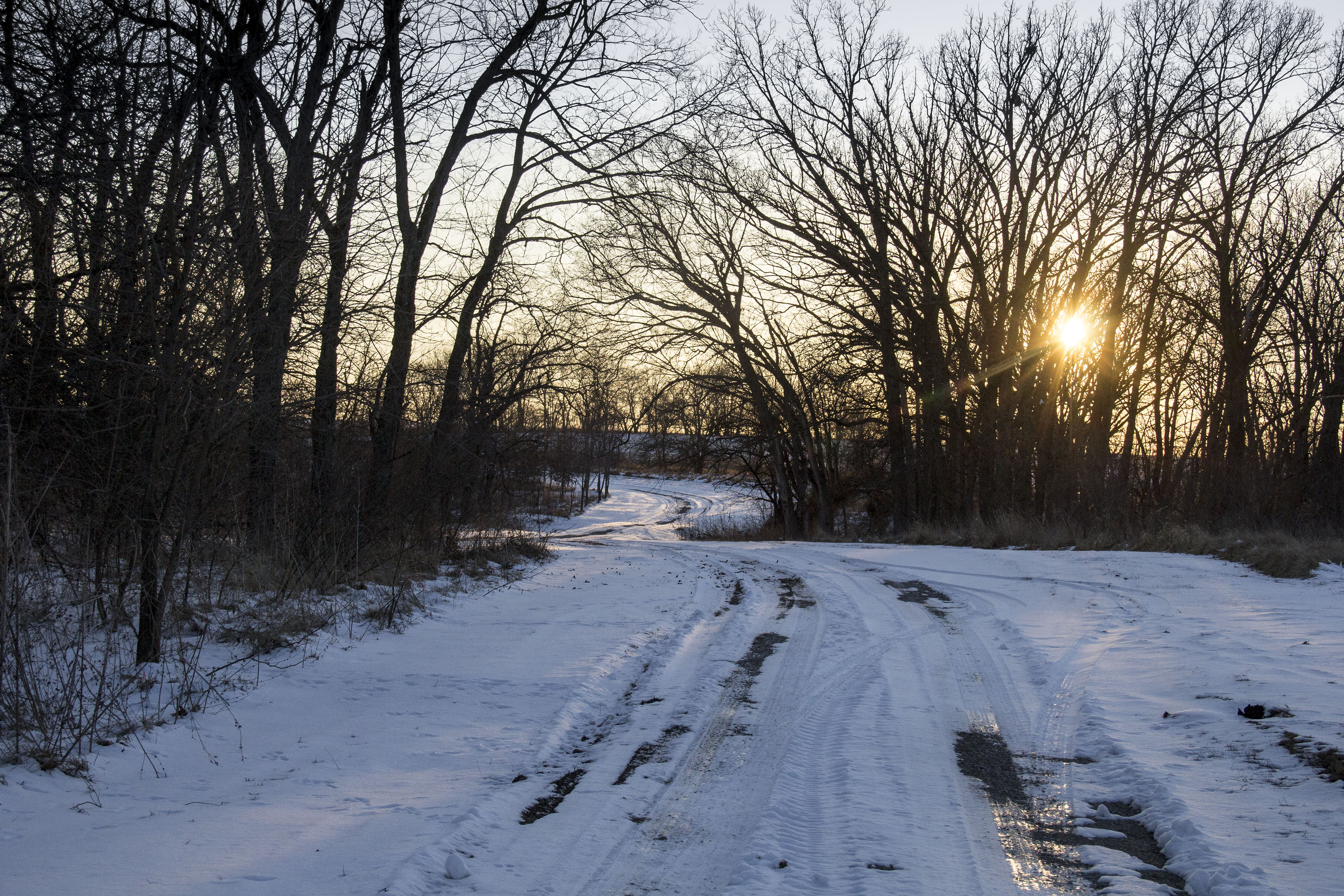
winter wonderLANE
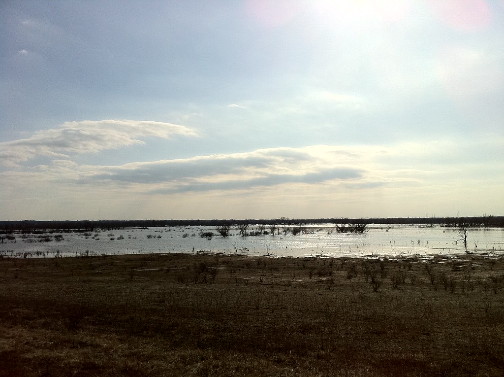
Geocaching at the wetlands

field.

Feelin' Froggie
Topographic Map of MO-13, Clinton, MO, USA
Find elevation by address:

Places near MO-13, Clinton, MO, USA:
52 Ne 400 Rd
Shawnee Township
301 N 2nd St
S Washington St, Clinton, MO, USA
Clinton
521 Ne Hwy Yy
585 Ne Hwy V
Southeast 100 Road
Henry County
Clinton Township
Davis Township
MO-7, Urich, MO, USA
227 Sw Hwy T
Windsor Township
Johnson County
SW st Rd, Holden, MO, USA
105 W Kentucky St
NE Hwy C, Calhoun, MO, USA
35 Sw 365th Rd
Windsor
Recent Searches:
- Elevation of Corso Fratelli Cairoli, 35, Macerata MC, Italy
- Elevation of Tallevast Rd, Sarasota, FL, USA
- Elevation of 4th St E, Sonoma, CA, USA
- Elevation of Black Hollow Rd, Pennsdale, PA, USA
- Elevation of Oakland Ave, Williamsport, PA, USA
- Elevation of Pedrógão Grande, Portugal
- Elevation of Klee Dr, Martinsburg, WV, USA
- Elevation of Via Roma, Pieranica CR, Italy
- Elevation of Tavkvetili Mountain, Georgia
- Elevation of Hartfords Bluff Cir, Mt Pleasant, SC, USA