Elevation of 52 NE Rd, Clinton, MO, USA
Location: United States > Missouri > Henry County > Clinton Township > Clinton >
Longitude: -93.744046
Latitude: 38.4232957
Elevation: 259m / 850feet
Barometric Pressure: 98KPa
Elevation Map:
Satellite Map:
Related Photos:

Furniture Store. Alley View. Missouri.
Appleton City MO
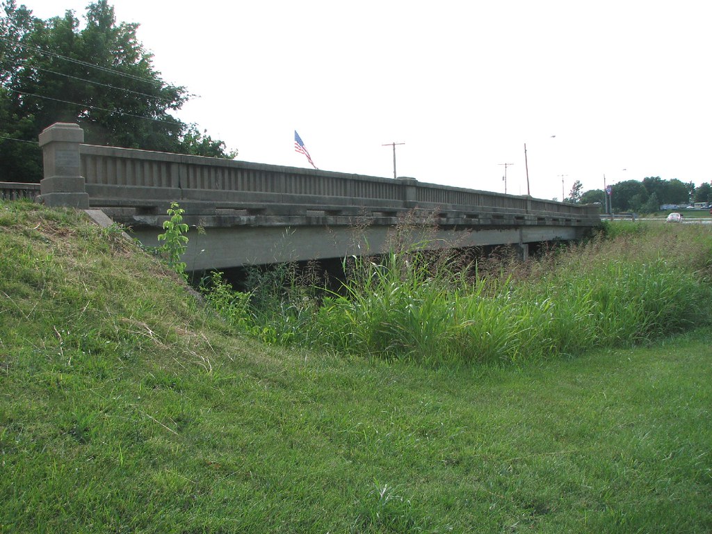
Town Creek Bridge-Side View
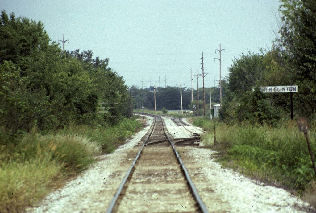
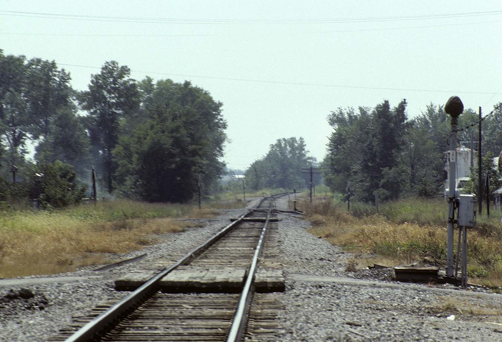
Nort Clinton Missouri on MKT
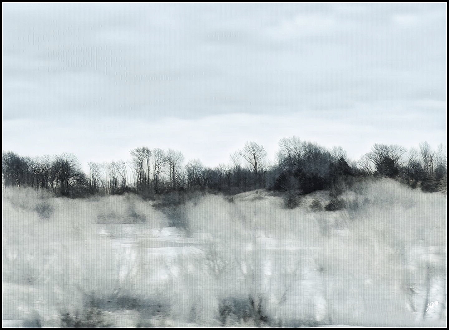
Winter dreams....
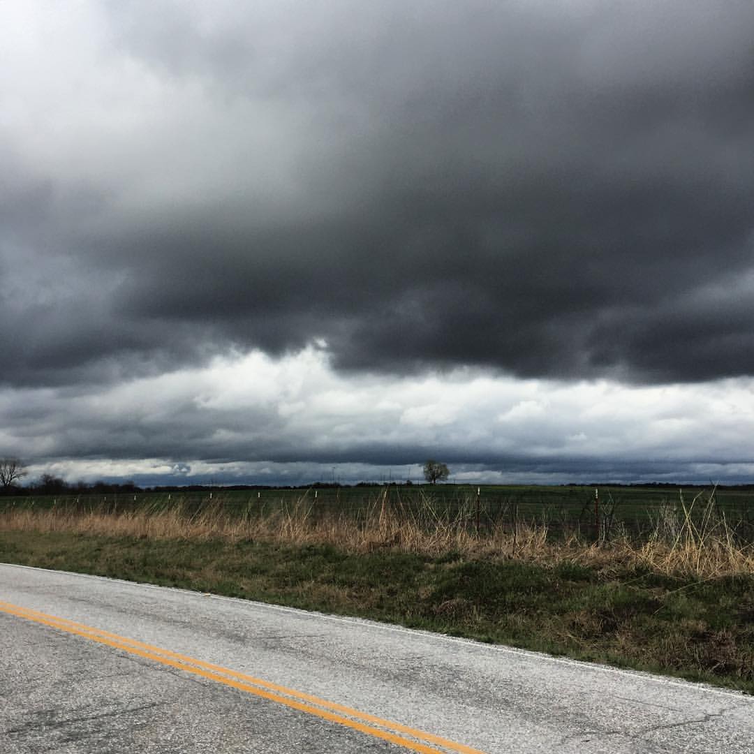
#clouds #storm #rain #missouri #skyscape #landscape #ozarkhighlands

Yellow Tree [HDR]

Yellow Tree

2013-09-20 19.39.48-1
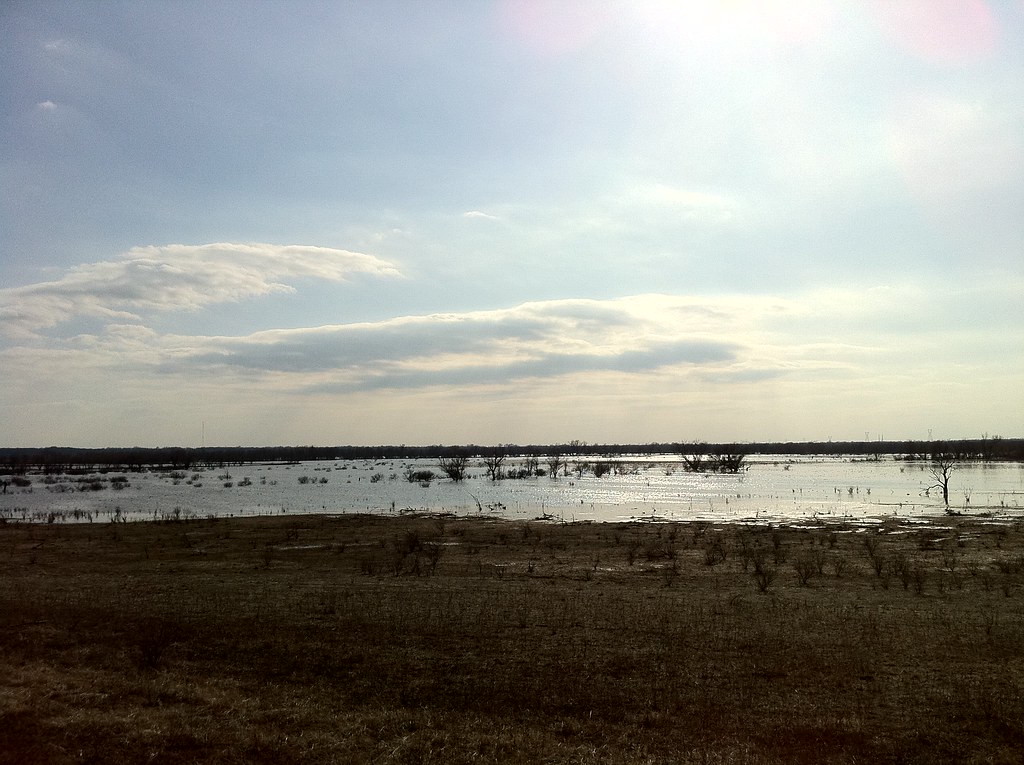
Geocaching at the wetlands

IMGP4103.jpg
IMGP4078.jpg

IMGP4079.jpg

IMGP4080.jpg

IMGP4105.jpg

IMGP4092.jpg
Topographic Map of 52 NE Rd, Clinton, MO, USA
Find elevation by address:

Places near 52 NE Rd, Clinton, MO, USA:
MO-13, Clinton, MO, USA
301 N 2nd St
S Washington St, Clinton, MO, USA
Clinton
521 Ne Hwy Yy
Southeast 100 Road
Henry County
Clinton Township
Shawnee Township
585 Ne Hwy V
Davis Township
227 Sw Hwy T
MO-7, Urich, MO, USA
Windsor Township
NE Hwy C, Calhoun, MO, USA
105 W Kentucky St
Windsor
Urich
Main St, Urich, MO, USA
Johnson County
Recent Searches:
- Elevation of Leguwa, Nepal
- Elevation of County Rd, Enterprise, AL, USA
- Elevation of Kolchuginsky District, Vladimir Oblast, Russia
- Elevation of Shustino, Vladimir Oblast, Russia
- Elevation of Lampiasi St, Sarasota, FL, USA
- Elevation of Elwyn Dr, Roanoke Rapids, NC, USA
- Elevation of Congressional Dr, Stevensville, MD, USA
- Elevation of Bellview Rd, McLean, VA, USA
- Elevation of Stage Island Rd, Chatham, MA, USA
- Elevation of Shibuya Scramble Crossing, 21 Udagawacho, Shibuya City, Tokyo -, Japan