Elevation of Mitchell County, KS, USA
Location: United States > Kansas >
Longitude: -98.221297
Latitude: 39.443669
Elevation: 449m / 1473feet
Barometric Pressure: 96KPa
Elevation Map:
Satellite Map:
Related Photos:

2011-BACKTOKS06-Waconda Lake8

2011-BACKTOKS06-Waconda Lake13

2011-BACKTOKS06-Waconda Lake1
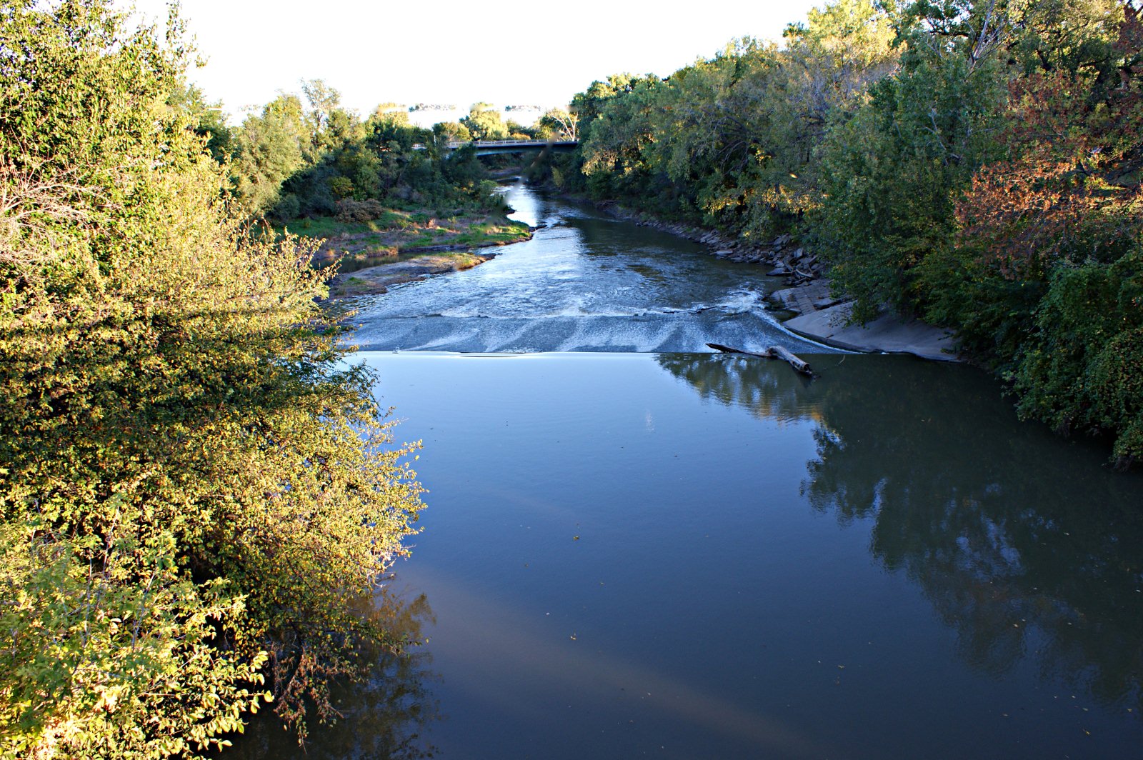
Solomon River

2011-BACKTOKS06-Waconda Lake25

2011-BACKTOKS06-Waconda Lake7

2011-BACKTOKS06-Waconda Lake12

2011-BACKTOKS06-Waconda Lake14

2011-BACKTOKS06-Waconda Lake24

Old Honey Creek School Marker (Beloit, Kansas)

Old Honey Creek School (Beloit, Kansas)
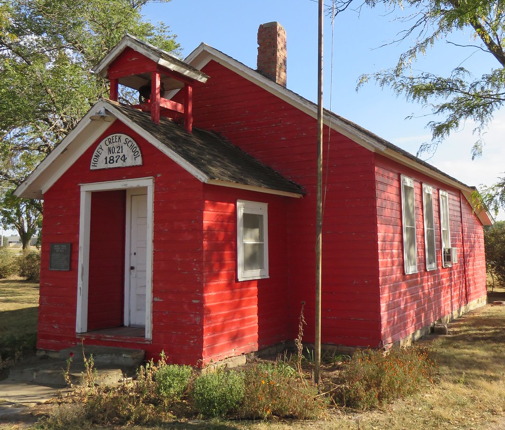
Old Honey Creek School (Beloit, Kansas)
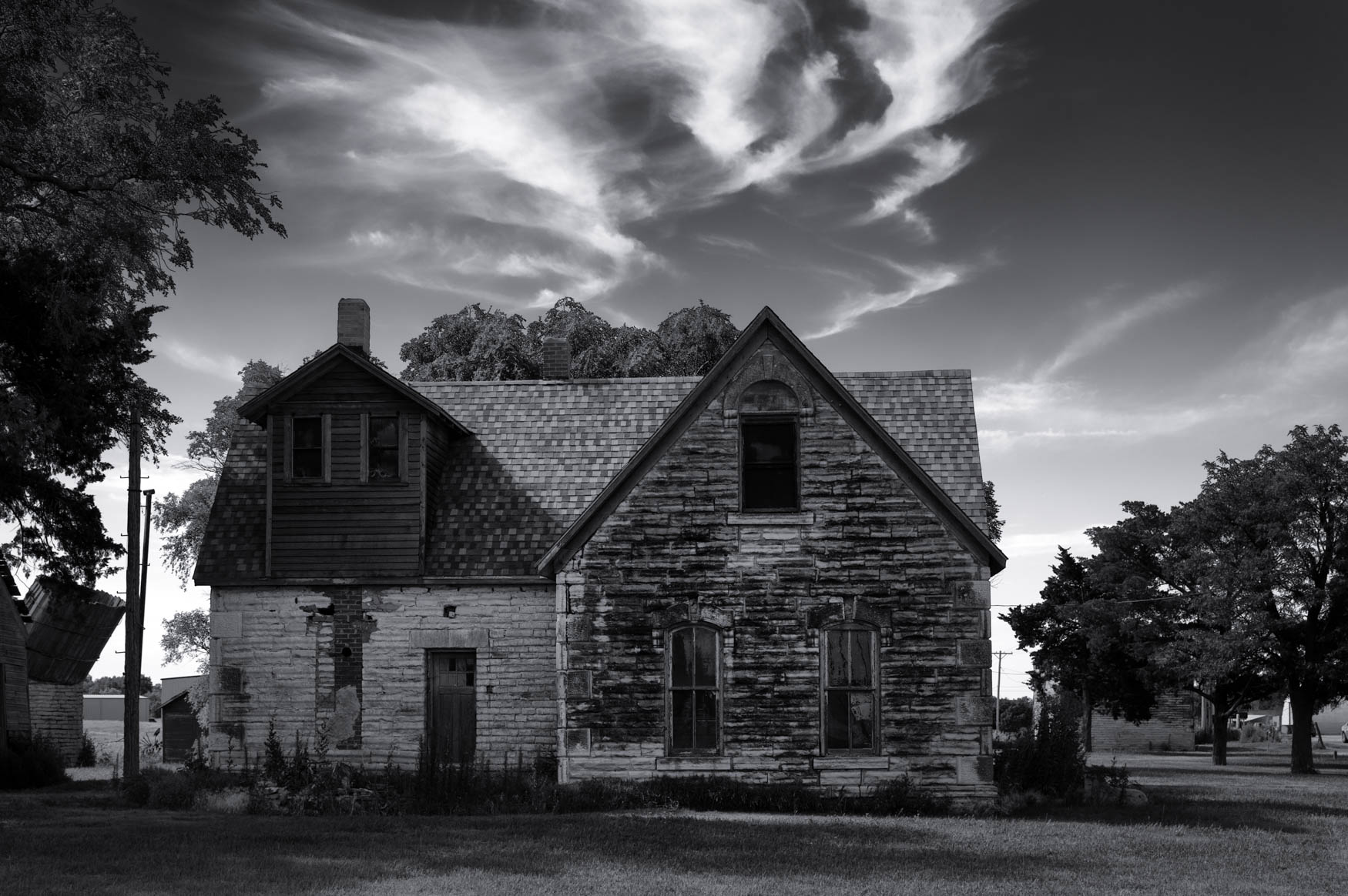
Holding Up
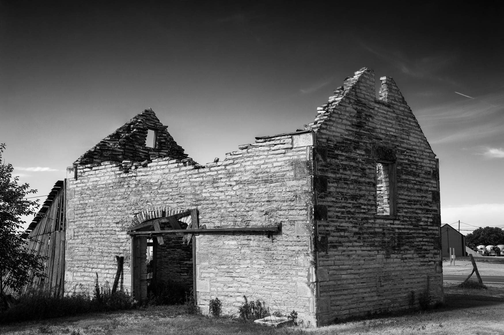
Blacksmith Shop

Glen Elder, KS
Glen Elder, KS

2011-BACKTOKS06-Waconda Lake23

2011-BACKTOKS06-Waconda Lake22

2011-BACKTOKS06-Waconda Lake21

2011-BACKTOKS06-Waconda Lake20

2011-BACKTOKS06-Waconda Lake19

2011-BACKTOKS06-Waconda Lake18
Topographic Map of Mitchell County, KS, USA
Find elevation by address:

Places in Mitchell County, KS, USA:
Custer
Glen Elder
Logan
E Main St, Beloit, KS, USA
Lake Dr, Cawker City, KS, USA
Loretta Trail, Beloit, KS, USA
Places near Mitchell County, KS, USA:
Mill St, Glen Elder, KS, USA
Glen Elder
E Main St, Beloit, KS, USA
Glen Elder
Prairie
Lake Dr, Cawker City, KS, USA
Loretta Trail, Beloit, KS, USA
Randall
Walnut St, Randall, KS, USA
Simpson
Elkhorn St, Beloit, KS, USA
Jewell County
N High St, Mankato, KS, USA
Mankato
Center
Grant
Howe St, Formoso, KS, USA
Formoso
Burr Oak
Kansas St, Burr Oak, KS, USA
Recent Searches:
- Elevation of Corso Fratelli Cairoli, 35, Macerata MC, Italy
- Elevation of Tallevast Rd, Sarasota, FL, USA
- Elevation of 4th St E, Sonoma, CA, USA
- Elevation of Black Hollow Rd, Pennsdale, PA, USA
- Elevation of Oakland Ave, Williamsport, PA, USA
- Elevation of Pedrógão Grande, Portugal
- Elevation of Klee Dr, Martinsburg, WV, USA
- Elevation of Via Roma, Pieranica CR, Italy
- Elevation of Tavkvetili Mountain, Georgia
- Elevation of Hartfords Bluff Cir, Mt Pleasant, SC, USA