Elevation of Mill St, Glen Elder, KS, USA
Location: United States > Kansas > Mitchell County > Glen Elder > Glen Elder >
Longitude: -98.308351
Latitude: 39.498933
Elevation: 438m / 1437feet
Barometric Pressure: 96KPa
Elevation Map:
Satellite Map:
Related Photos:
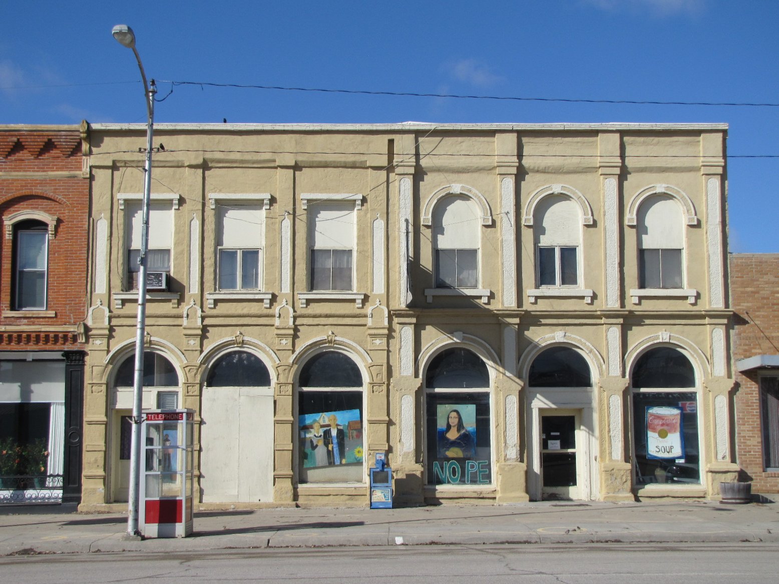
Iconic art with twine
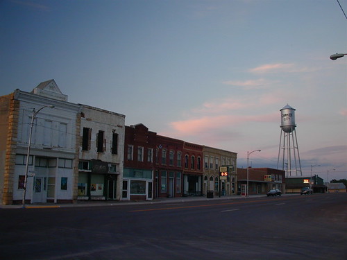
Cawker City Sunset
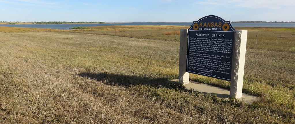
Waconda Lake Landscape and Waconda Springs Marker (Mitchell County, Kansas)
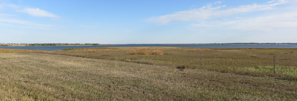
Waconda Lake Landscape (Mitchell County, Kansas)

Waconda Lake Landscape and Waconda Springs Marker (Mitchell County, Kansas)

Worlds Largest Ball of Twine

2011-BACKTOKS06-Waconda Lake25

2011-BACKTOKS06-Waconda Lake24

2011-BACKTOKS06-Waconda Lake14

2011-BACKTOKS06-Waconda Lake13

2011-BACKTOKS06-Waconda Lake12

2011-BACKTOKS06-Waconda Lake8

2011-BACKTOKS06-Waconda Lake7

2011-BACKTOKS06-Waconda Lake1
Topographic Map of Mill St, Glen Elder, KS, USA
Find elevation by address:

Places near Mill St, Glen Elder, KS, USA:
Glen Elder
Glen Elder
Mitchell County
Lake Dr, Cawker City, KS, USA
E Main St, Beloit, KS, USA
Prairie
Jewell County
Randall
Walnut St, Randall, KS, USA
N High St, Mankato, KS, USA
Mankato
Center
Loretta Trail, Beloit, KS, USA
Burr Oak
Burr Oak
Kansas St, Burr Oak, KS, USA
Simpson
Elkhorn St, Beloit, KS, USA
Formoso
Howe St, Formoso, KS, USA
Recent Searches:
- Elevation of Rojo Ct, Atascadero, CA, USA
- Elevation of Flagstaff Drive, Flagstaff Dr, North Carolina, USA
- Elevation of Avery Ln, Lakeland, FL, USA
- Elevation of Woolwine, VA, USA
- Elevation of Lumagwas Diversified Farmers Multi-Purpose Cooperative, Lumagwas, Adtuyon, RV32+MH7, Pangantucan, Bukidnon, Philippines
- Elevation of Homestead Ridge, New Braunfels, TX, USA
- Elevation of Orchard Road, Orchard Rd, Marlborough, NY, USA
- Elevation of 12 Hutchinson Woods Dr, Fletcher, NC, USA
- Elevation of Holloway Ave, San Francisco, CA, USA
- Elevation of Norfolk, NY, USA