Elevation of Mineral Mountain, California, USA
Location: United States > California > Alpine County >
Longitude: -119.62461
Latitude: 38.5260206
Elevation: 2717m / 8914feet
Barometric Pressure: 73KPa
Elevation Map:
Satellite Map:
Related Photos:
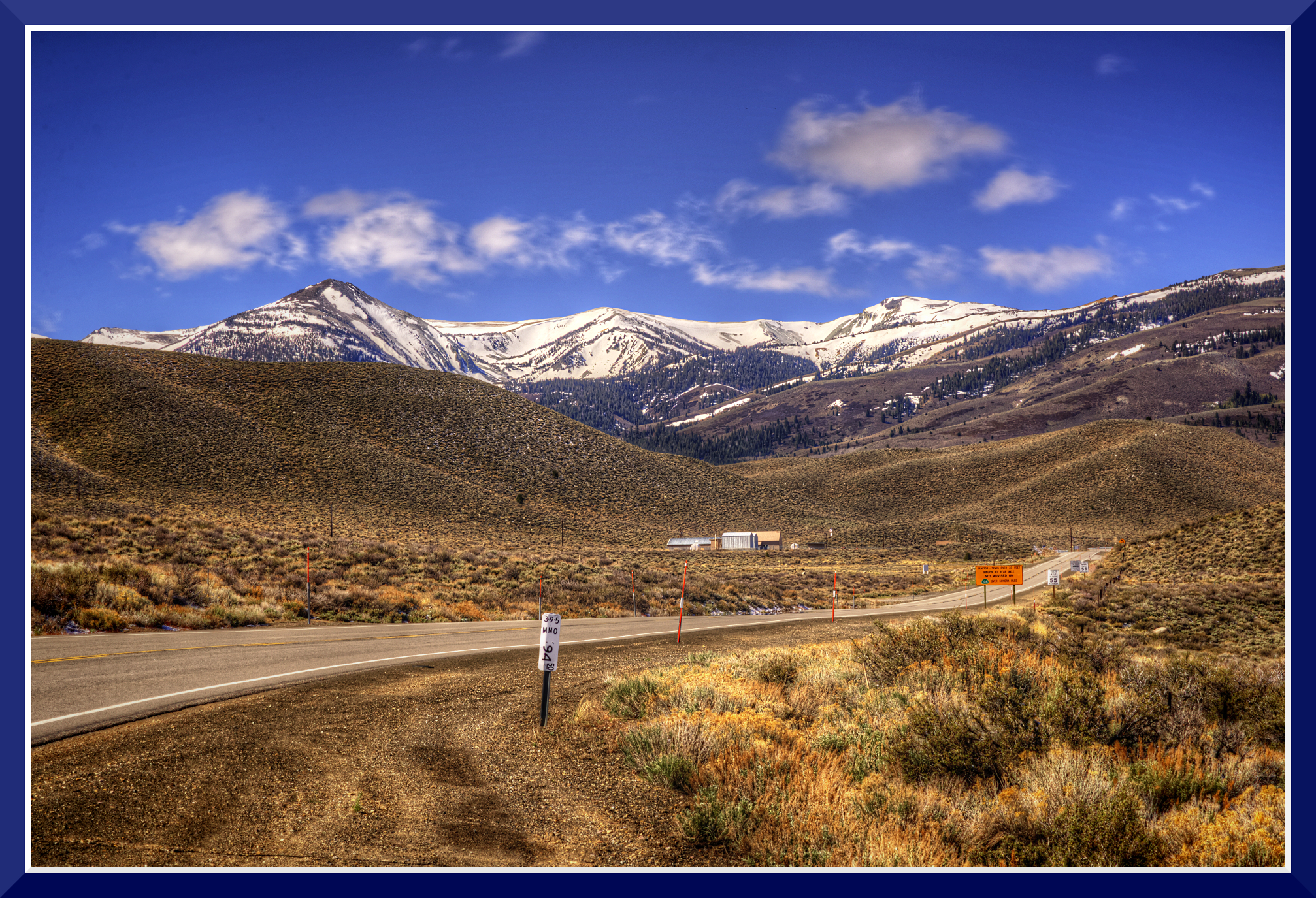
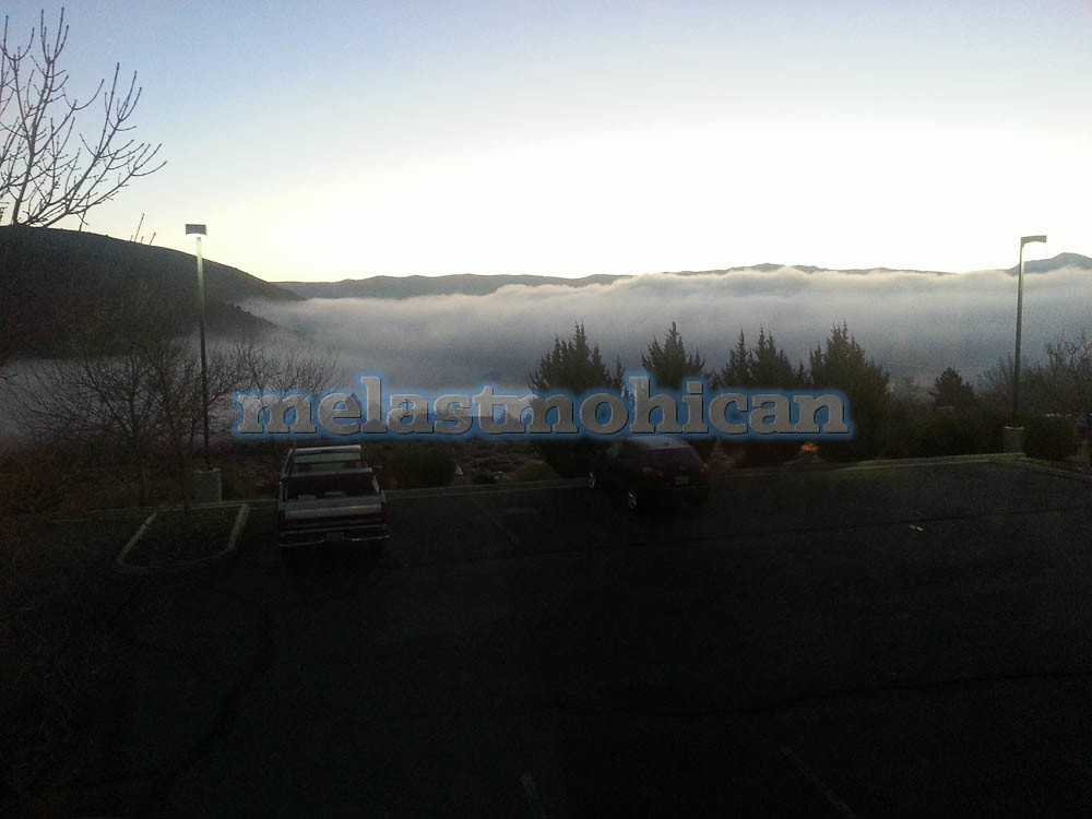
Day-1: 94MillMarker_2510d
View from HWY98, CA_1
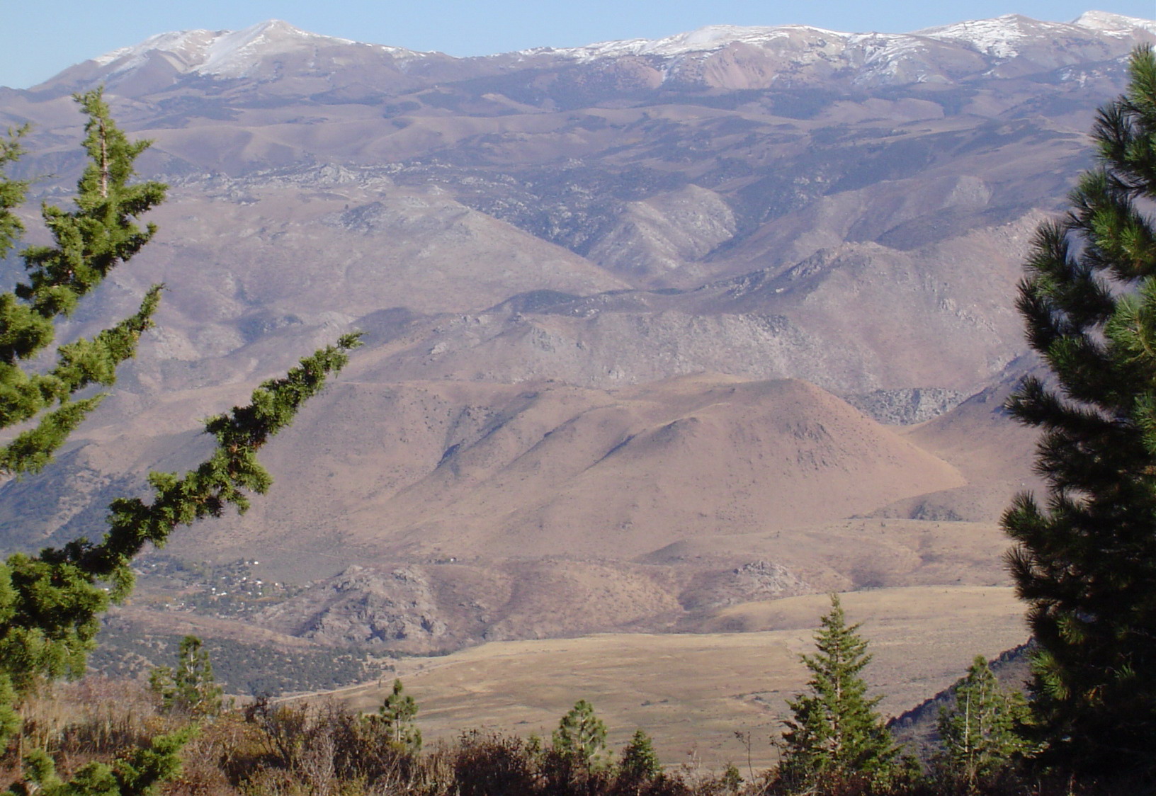
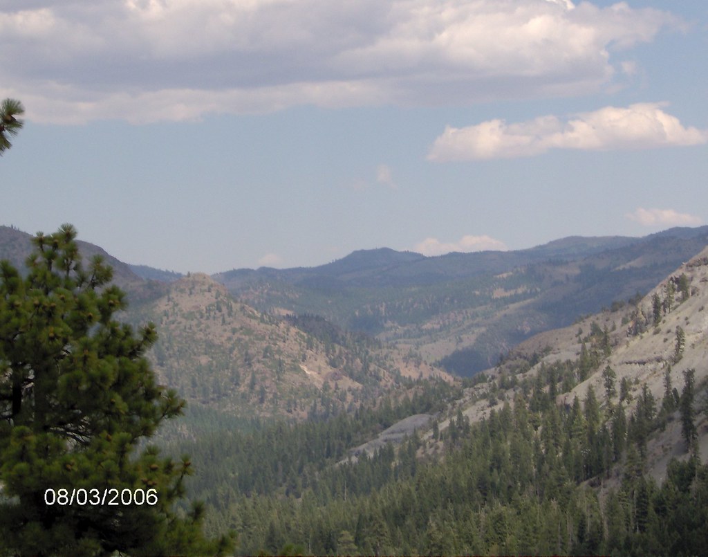
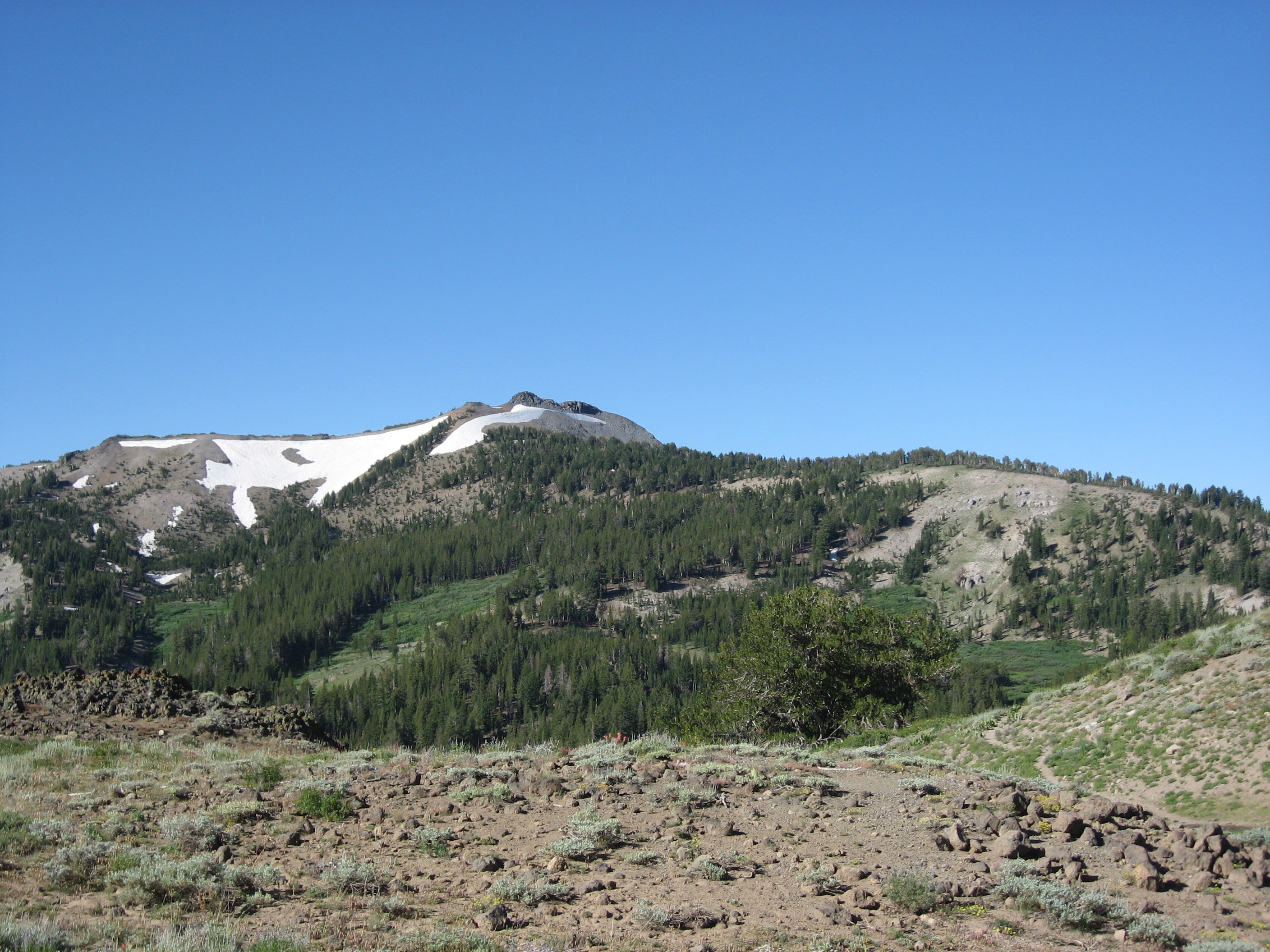
East View of Neighboring Mountain and Valley Telephotoed from Mountain Peak
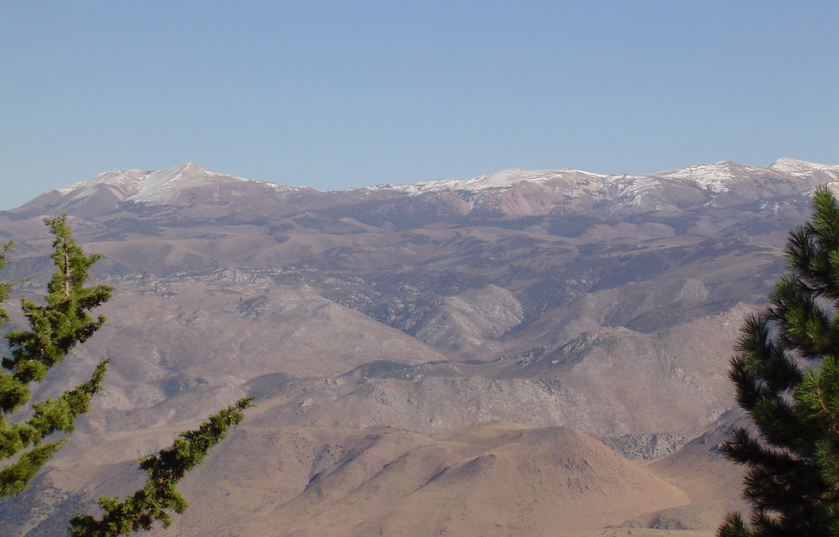
East View of Neighboring Range Telephotoed from Mountain Peak
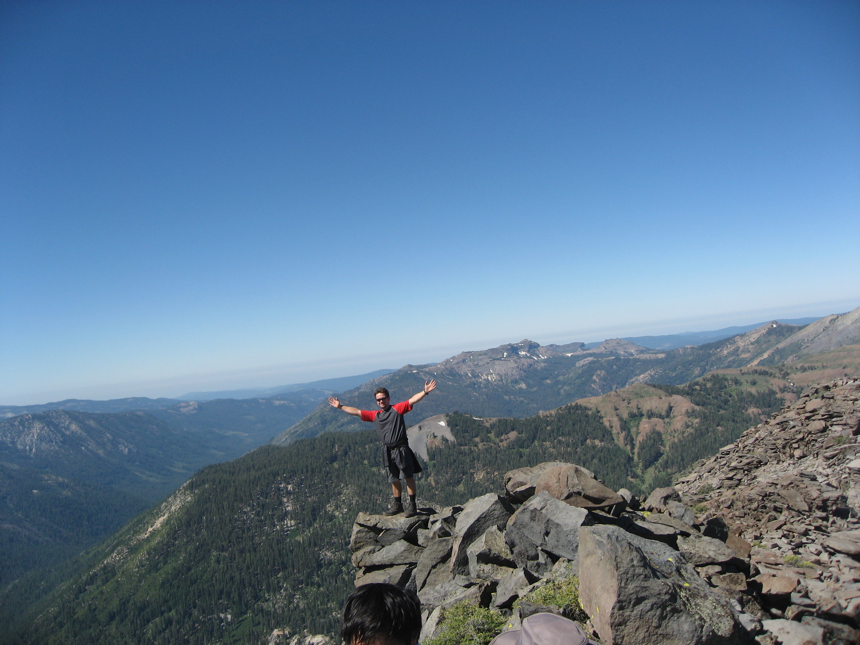
Whatta View
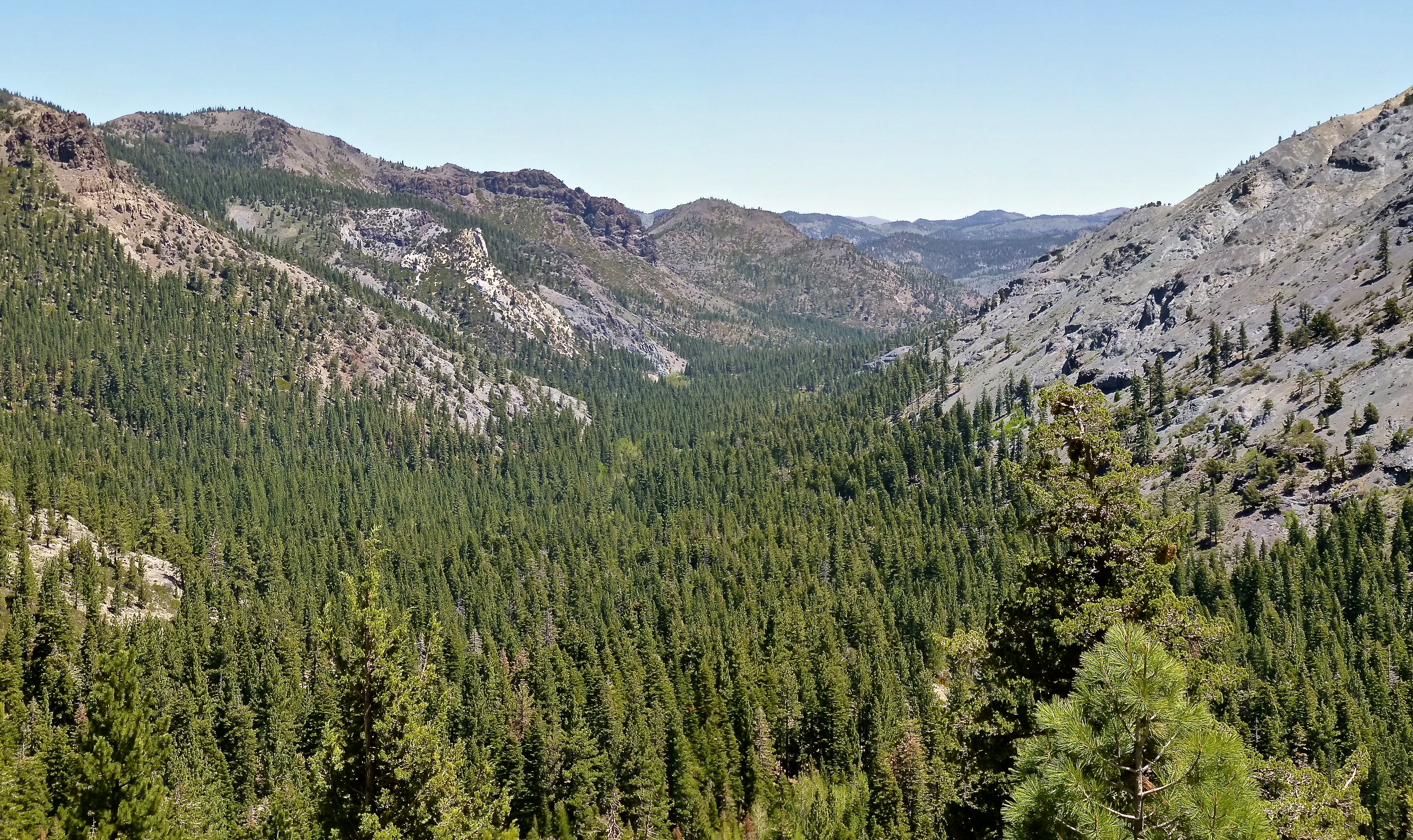
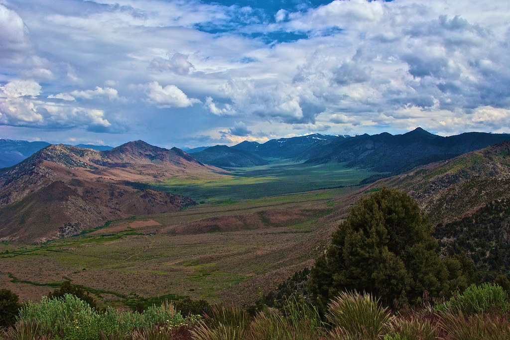
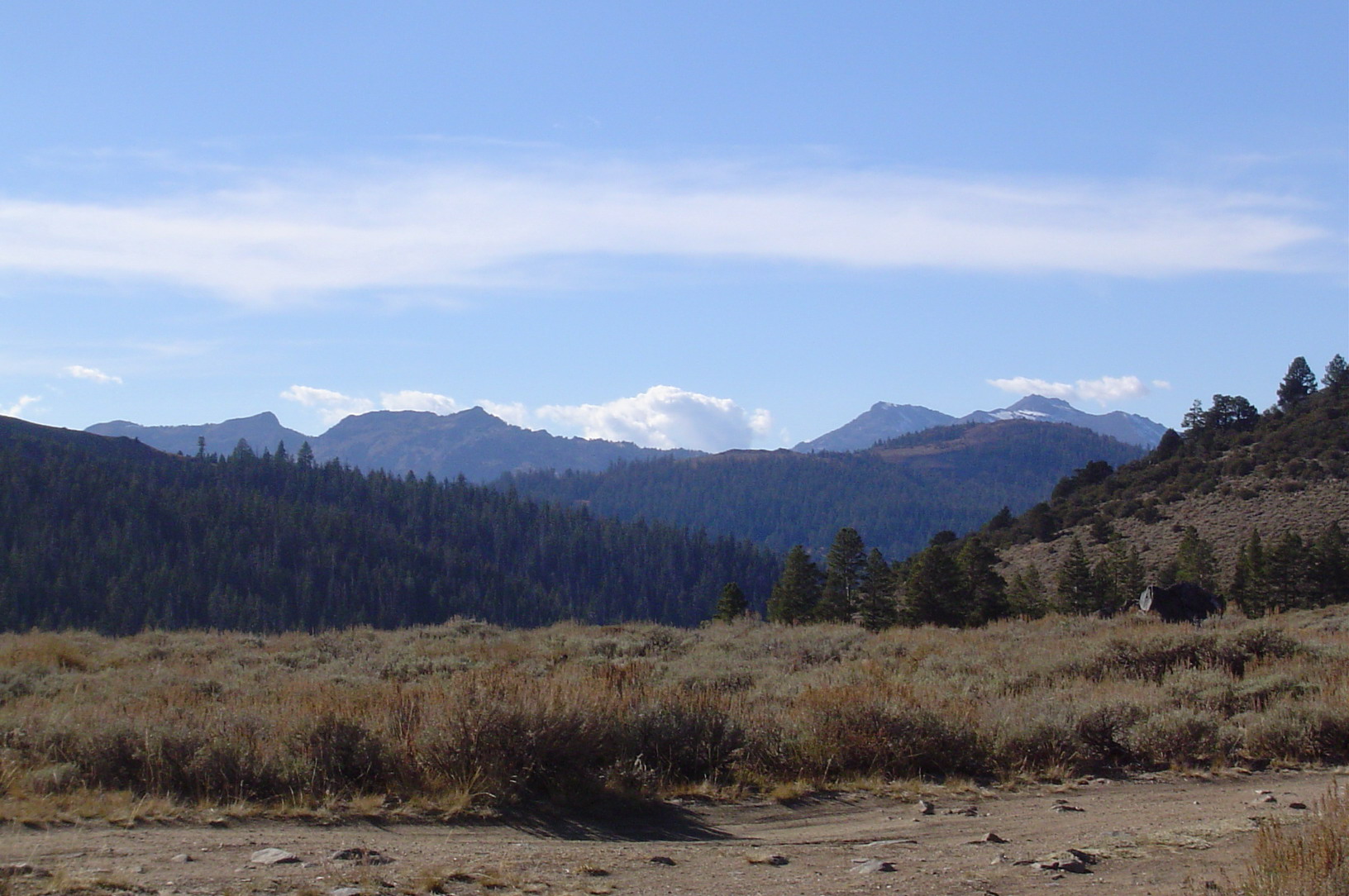
Valley View

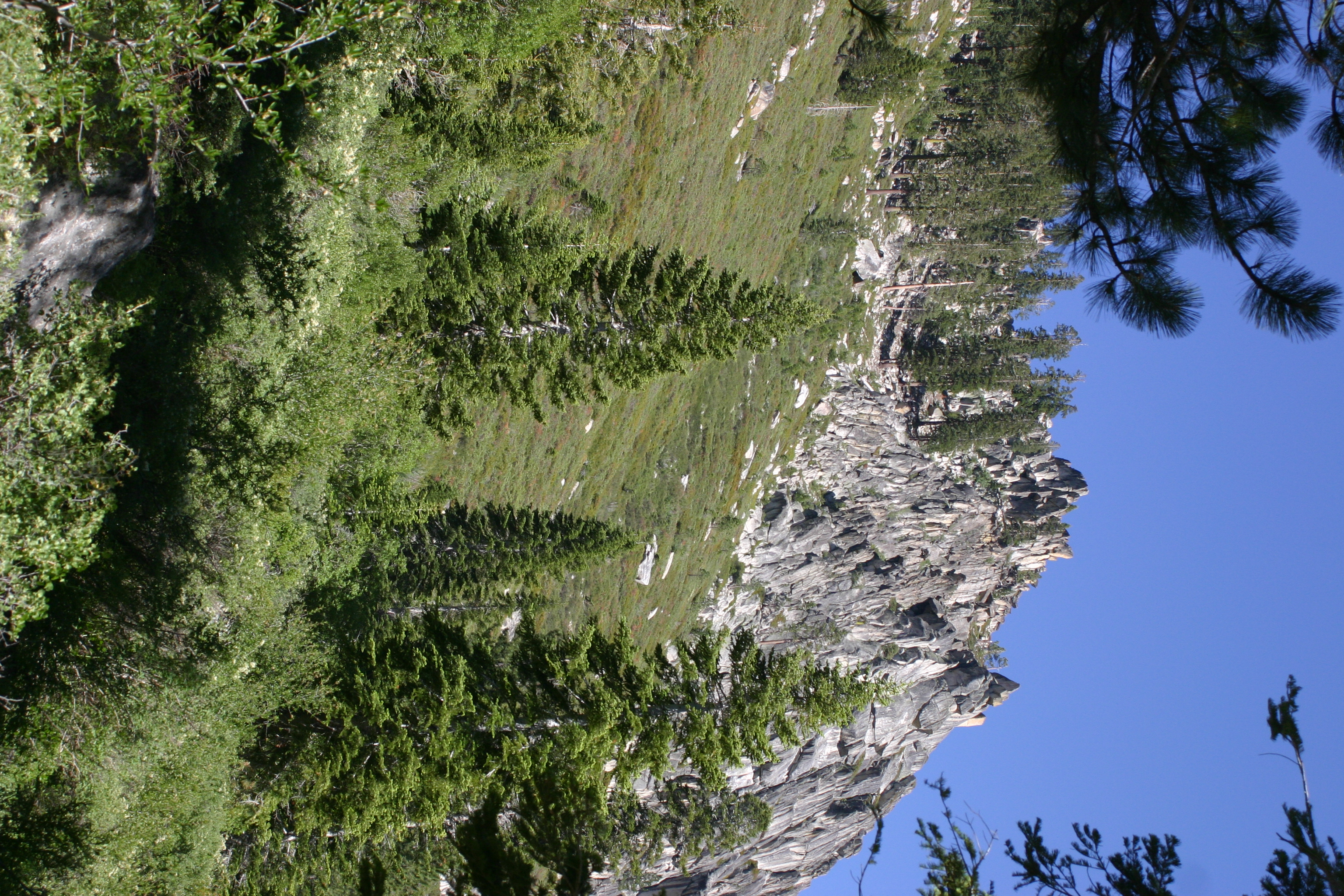
Centennial Bluff
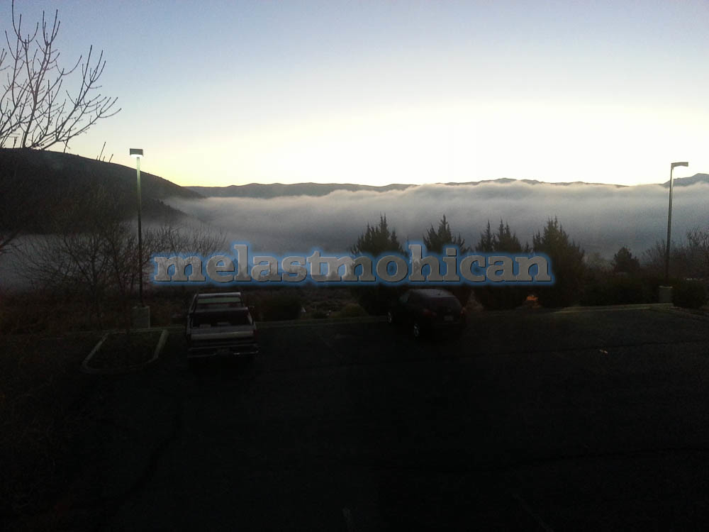
View West from the House
Glacier Point
Nice View
Topaz Lake
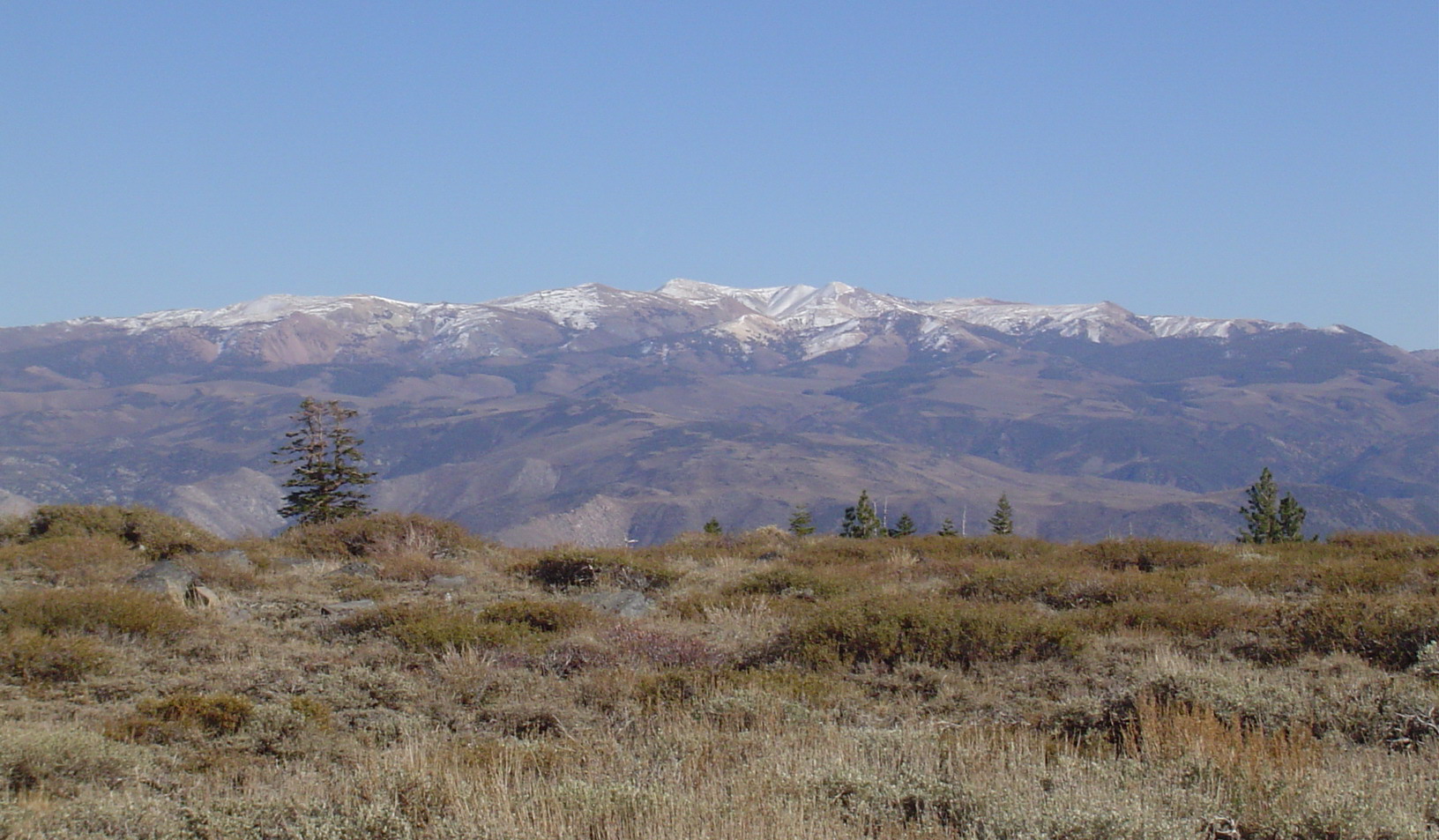
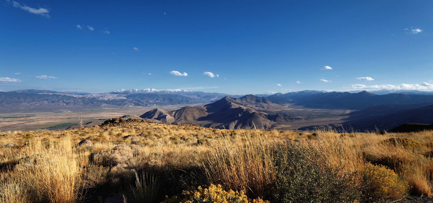
East View of Neighboring Range from Mountain Peak

The 89 Climb
West View from the Mountain Peak

The 89 Climb
Topaz Lake

South view from Disaster Peak
First view of Disaster Peak
The View From Monitor Pass (California Hwy 89)
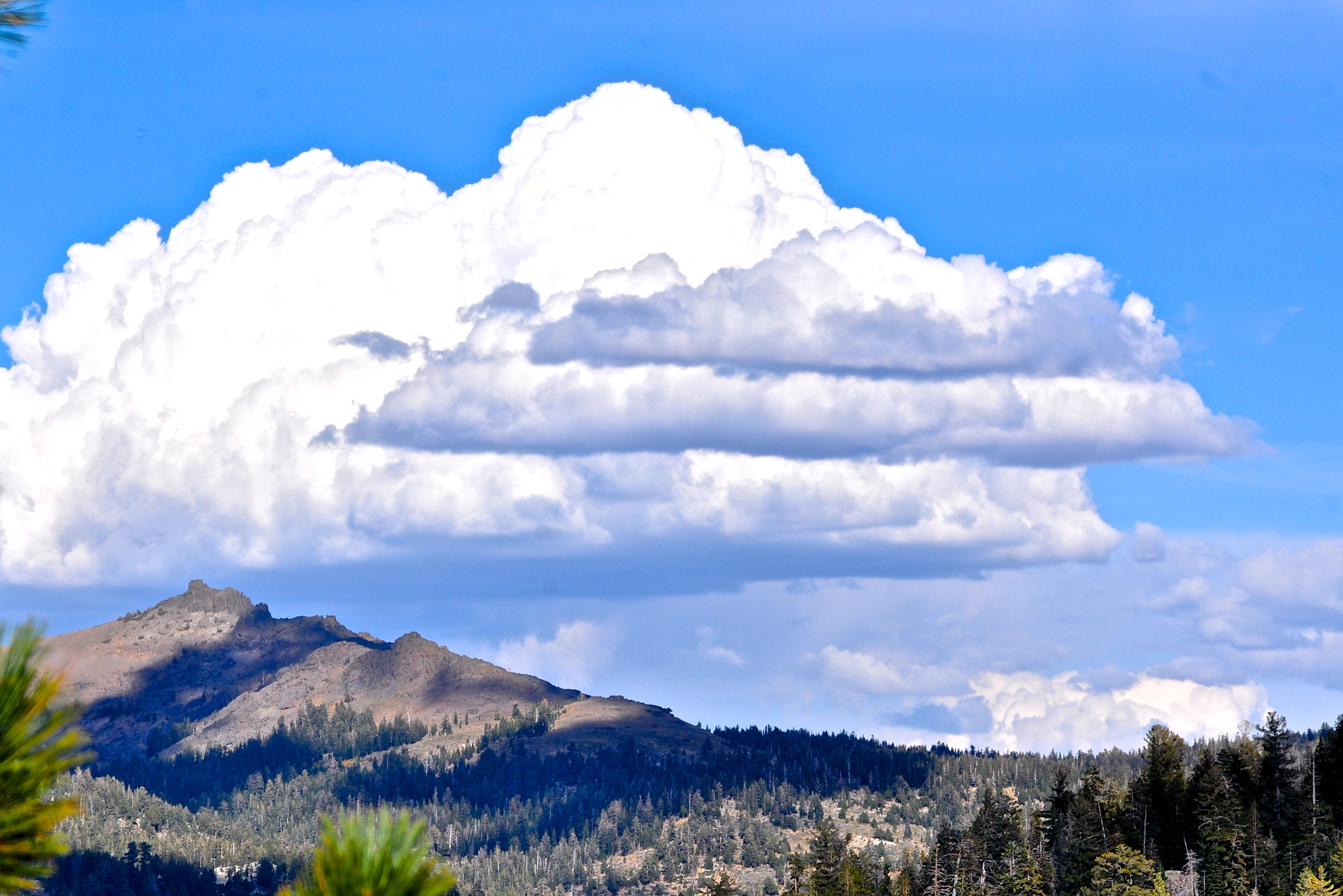
SIERRA SKY
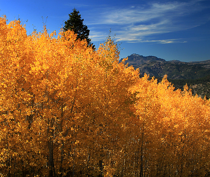
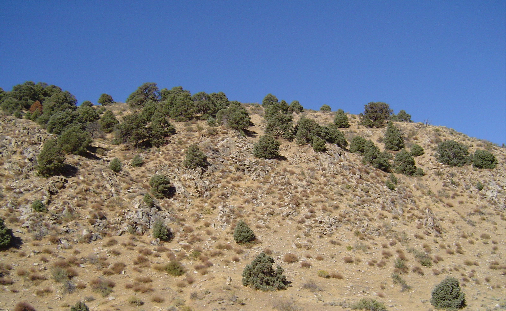
Slope of Gold
Topographic Map of Mineral Mountain, California, USA
Find elevation by address:

Places near Mineral Mountain, California, USA:
Antelope Peak
Whitecliff Peak
Highland Peak
Disaster Peak
Lost Cannon Peak
Arnot Peak
White Mountain
Stanislaus Peak
Topaz Lake
Ebbetts Pass
Folger Peak
Sonora Pass
Airola Peak
Iceberg Peak
Bald Peak
Clark Fork Campground
Reynolds Peak
1542 Holbrook Bluffs Ct
Raymond Peak
Markleeville
Recent Searches:
- Elevation of Corso Fratelli Cairoli, 35, Macerata MC, Italy
- Elevation of Tallevast Rd, Sarasota, FL, USA
- Elevation of 4th St E, Sonoma, CA, USA
- Elevation of Black Hollow Rd, Pennsdale, PA, USA
- Elevation of Oakland Ave, Williamsport, PA, USA
- Elevation of Pedrógão Grande, Portugal
- Elevation of Klee Dr, Martinsburg, WV, USA
- Elevation of Via Roma, Pieranica CR, Italy
- Elevation of Tavkvetili Mountain, Georgia
- Elevation of Hartfords Bluff Cir, Mt Pleasant, SC, USA