Elevation of Lost Cannon Peak, California, USA
Location: United States > California > Mono County >
Longitude: -119.54850
Latitude: 38.4057459
Elevation: 3356m / 11010feet
Barometric Pressure: 67KPa
Elevation Map:
Satellite Map:
Related Photos:

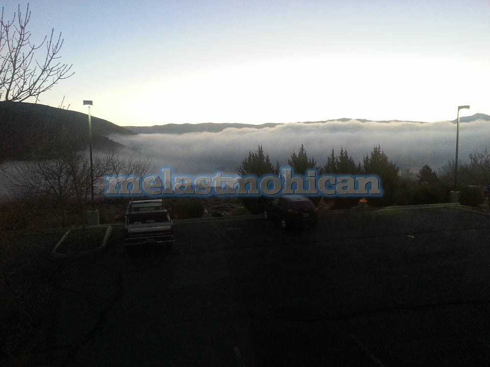
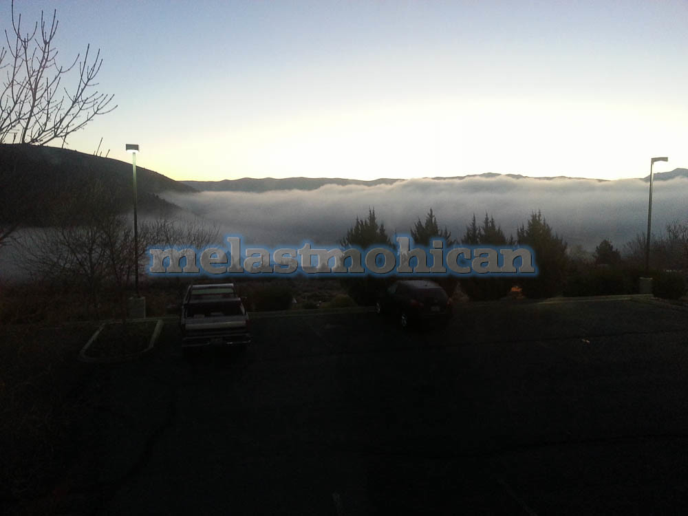
United States Marine Corps Mountain Warfare Training Center - h

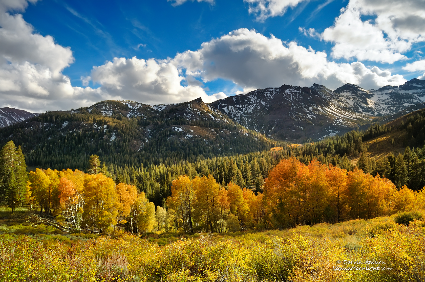
The Stanislaus River by Fall
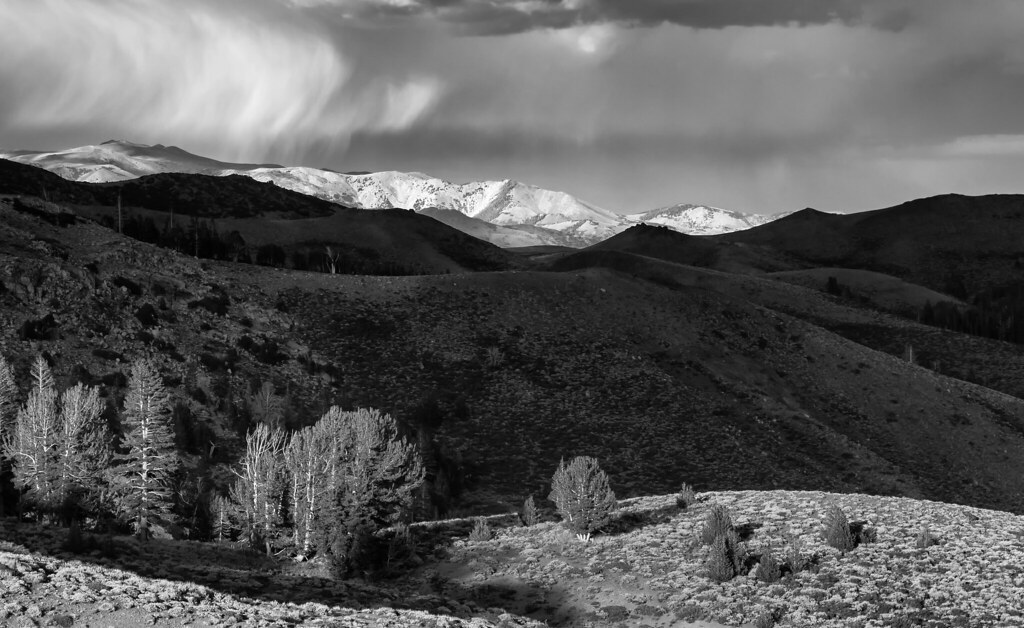
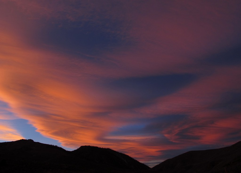
Light Dances on the Peaks of Sonora Pass
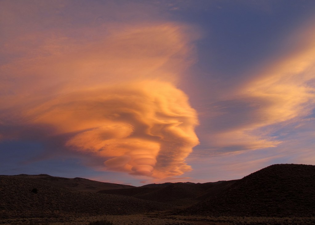
Otherworldly Phenomenon
In wilderness I sense the miracle of life, and behind it our scientific accomplishments fade to trivia…
Standing at the top of the world.
Nature, to be commanded, must be obeyed…
Look Up and Wow...
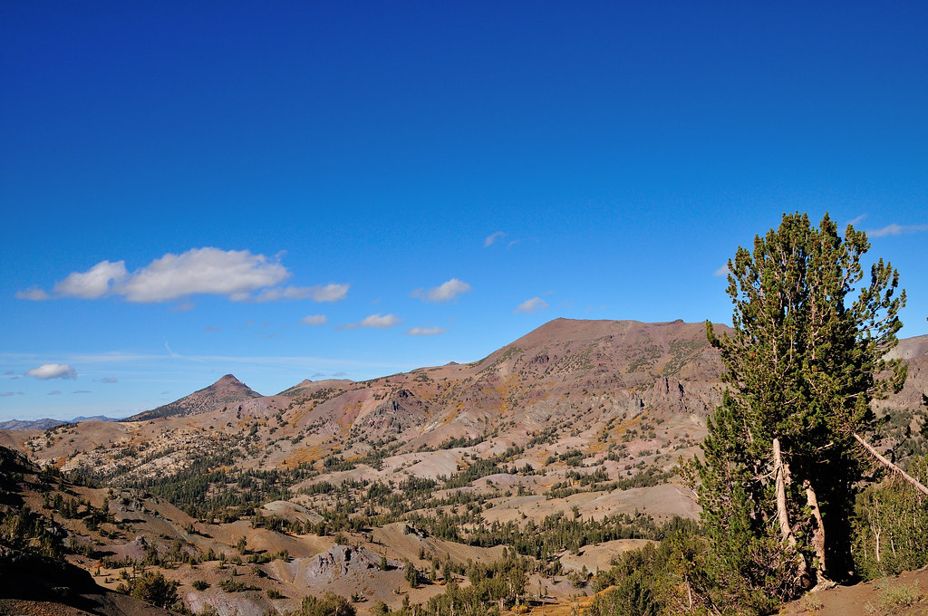
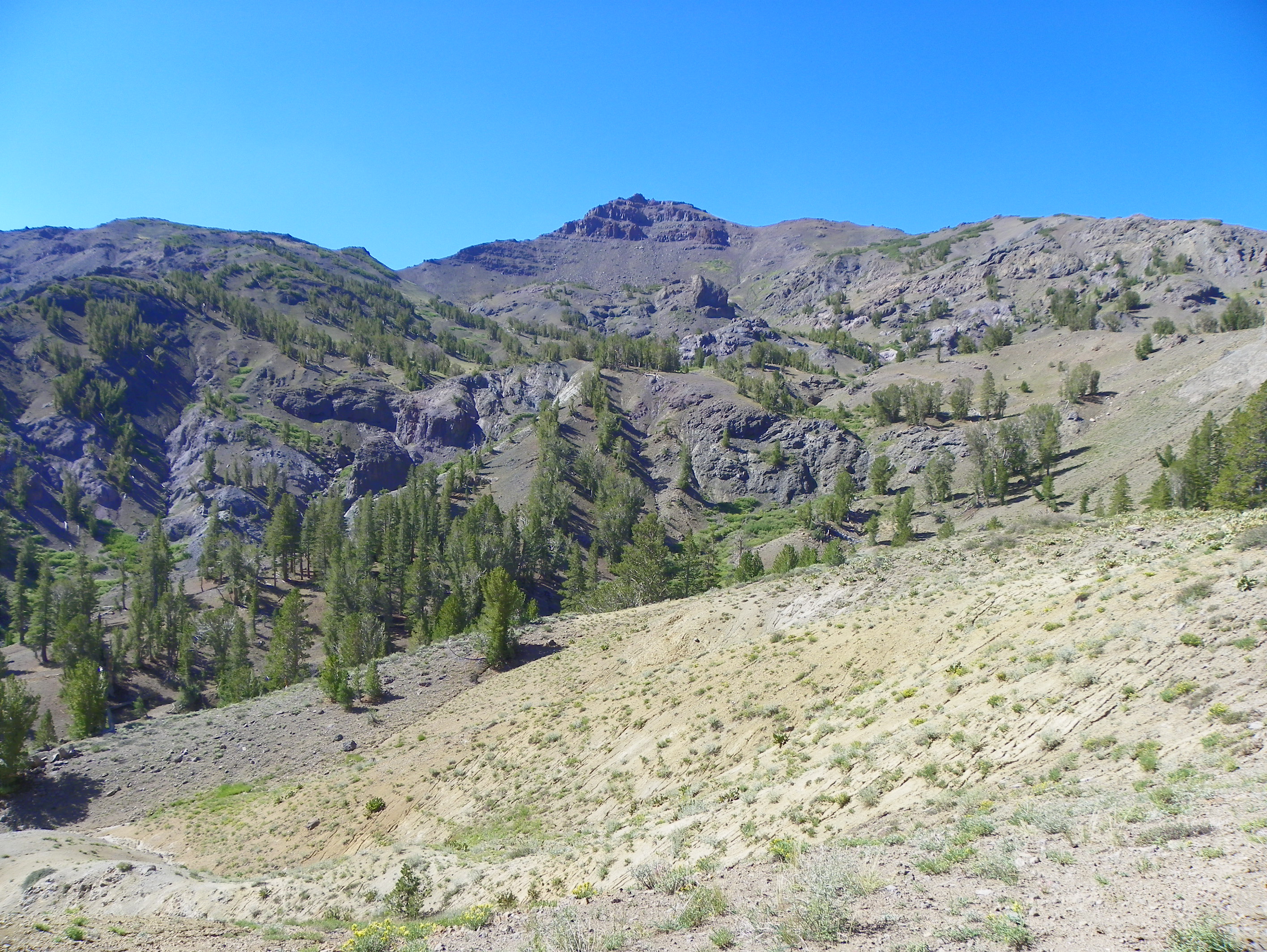
Sonora Pass
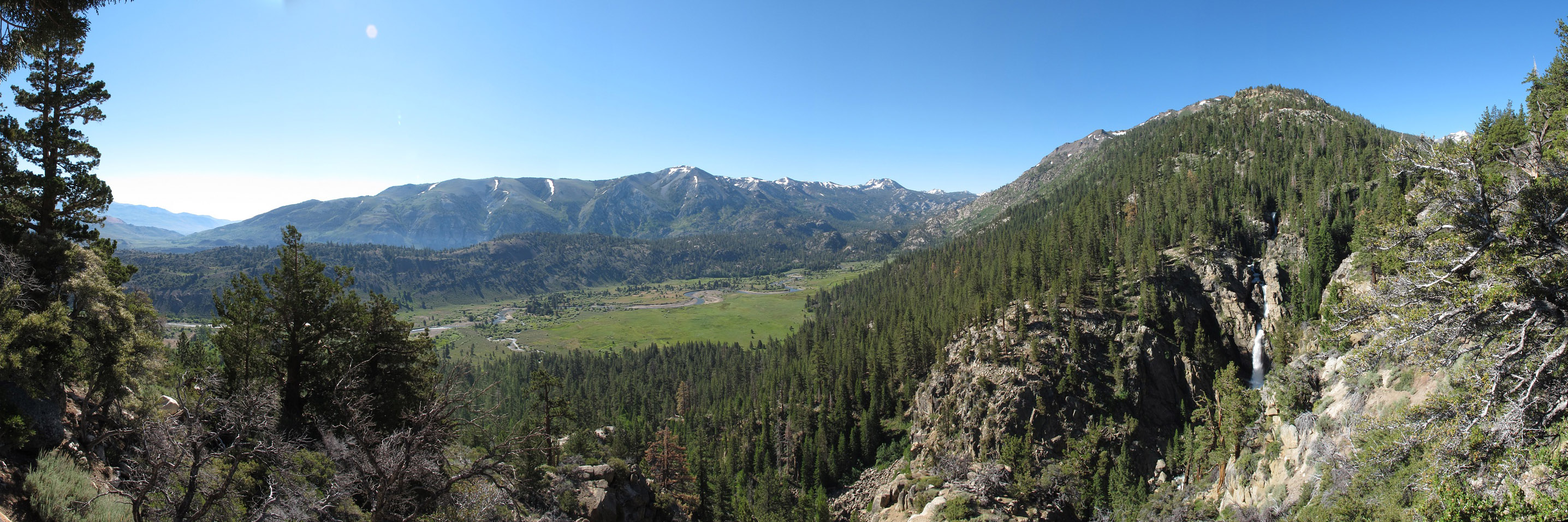
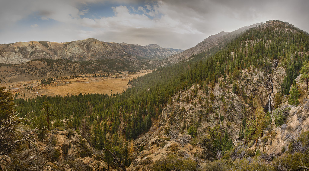
Levitt Falls Pano
Sonora Pass, California
Sonora Pass, California - h
Lake Tahoe
Lake Tahoe

a1988-09-27
Topaz Lake
Topaz Lake

Panoramic view, Pacific Crest Trail from Sonora Pass
View from the Pacific Crest Trail
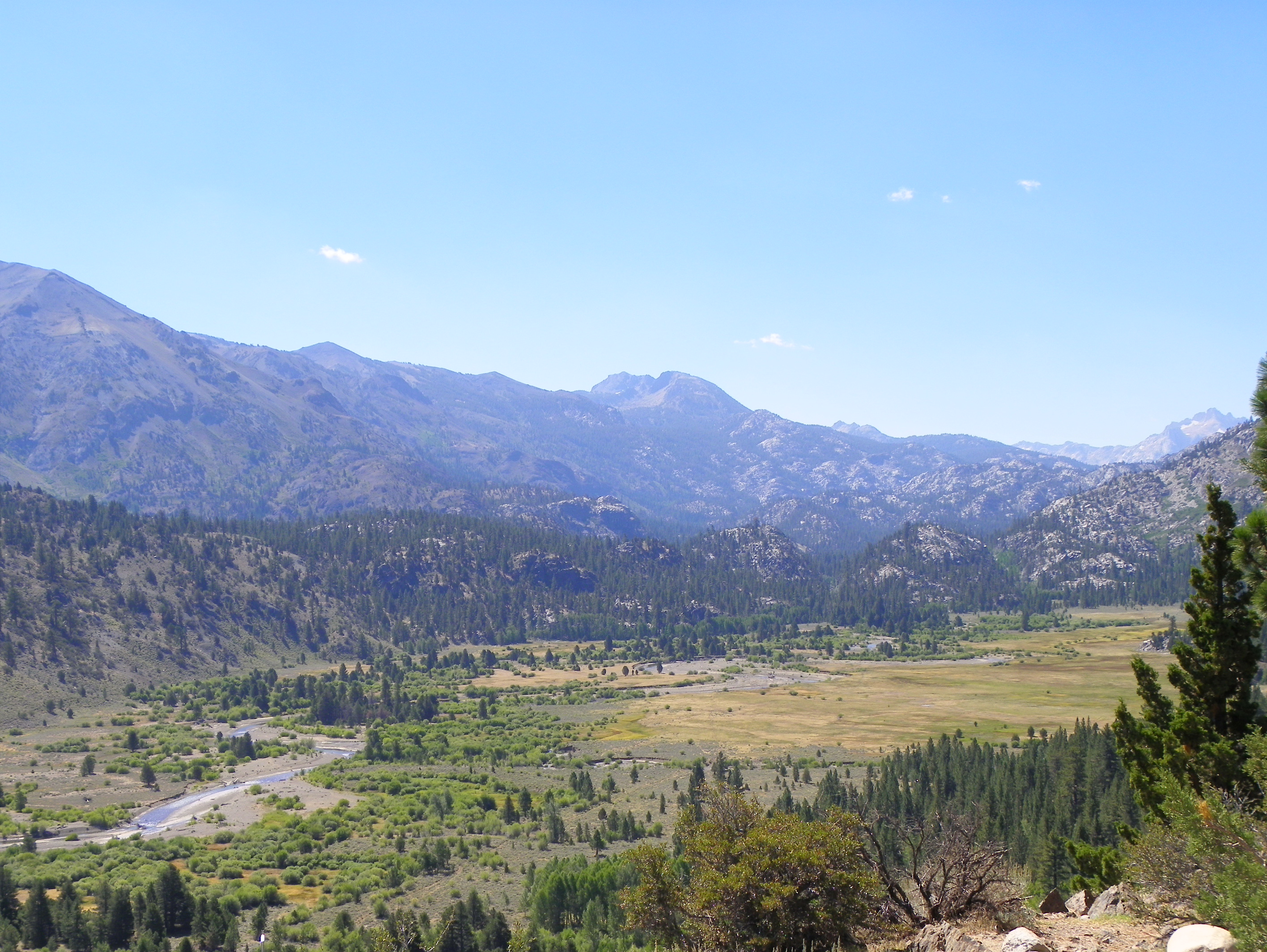
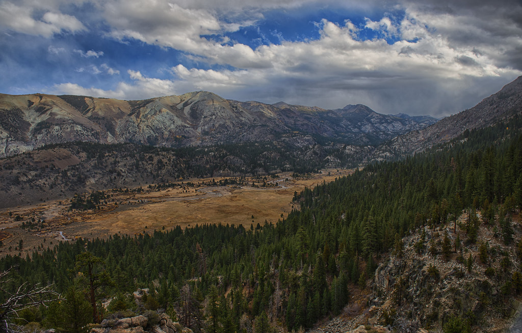
Kennedy Meadow and Sierra Mountain view below Sonora Pass

Stanislaus National Forest
Topographic Map of Lost Cannon Peak, California, USA
Find elevation by address:

Places near Lost Cannon Peak, California, USA:
Antelope Peak
White Mountain
Whitecliff Peak
Sonora Pass
Stanislaus Peak
Sierra Nevada
Mineral Mountain
Leavitt Lake
Leavitt Peak
Night Cap Peak
Disaster Peak
Kennedy Peak
Molo Mountain
Arnot Peak
Grizzly Peak
Bald Peak
Haypress Meadow
Highland Peak
Forsyth Peak
Clark Fork Campground
Recent Searches:
- Elevation of Corso Fratelli Cairoli, 35, Macerata MC, Italy
- Elevation of Tallevast Rd, Sarasota, FL, USA
- Elevation of 4th St E, Sonoma, CA, USA
- Elevation of Black Hollow Rd, Pennsdale, PA, USA
- Elevation of Oakland Ave, Williamsport, PA, USA
- Elevation of Pedrógão Grande, Portugal
- Elevation of Klee Dr, Martinsburg, WV, USA
- Elevation of Via Roma, Pieranica CR, Italy
- Elevation of Tavkvetili Mountain, Georgia
- Elevation of Hartfords Bluff Cir, Mt Pleasant, SC, USA