Elevation of Mill Rd NW, Floyd, VA, USA
Location: United States > Virginia > Floyd County > Indian Valley > Indian Valley >
Longitude: -80.500741
Latitude: 36.958348
Elevation: 746m / 2447feet
Barometric Pressure: 93KPa
Elevation Map:
Satellite Map:
Related Photos:
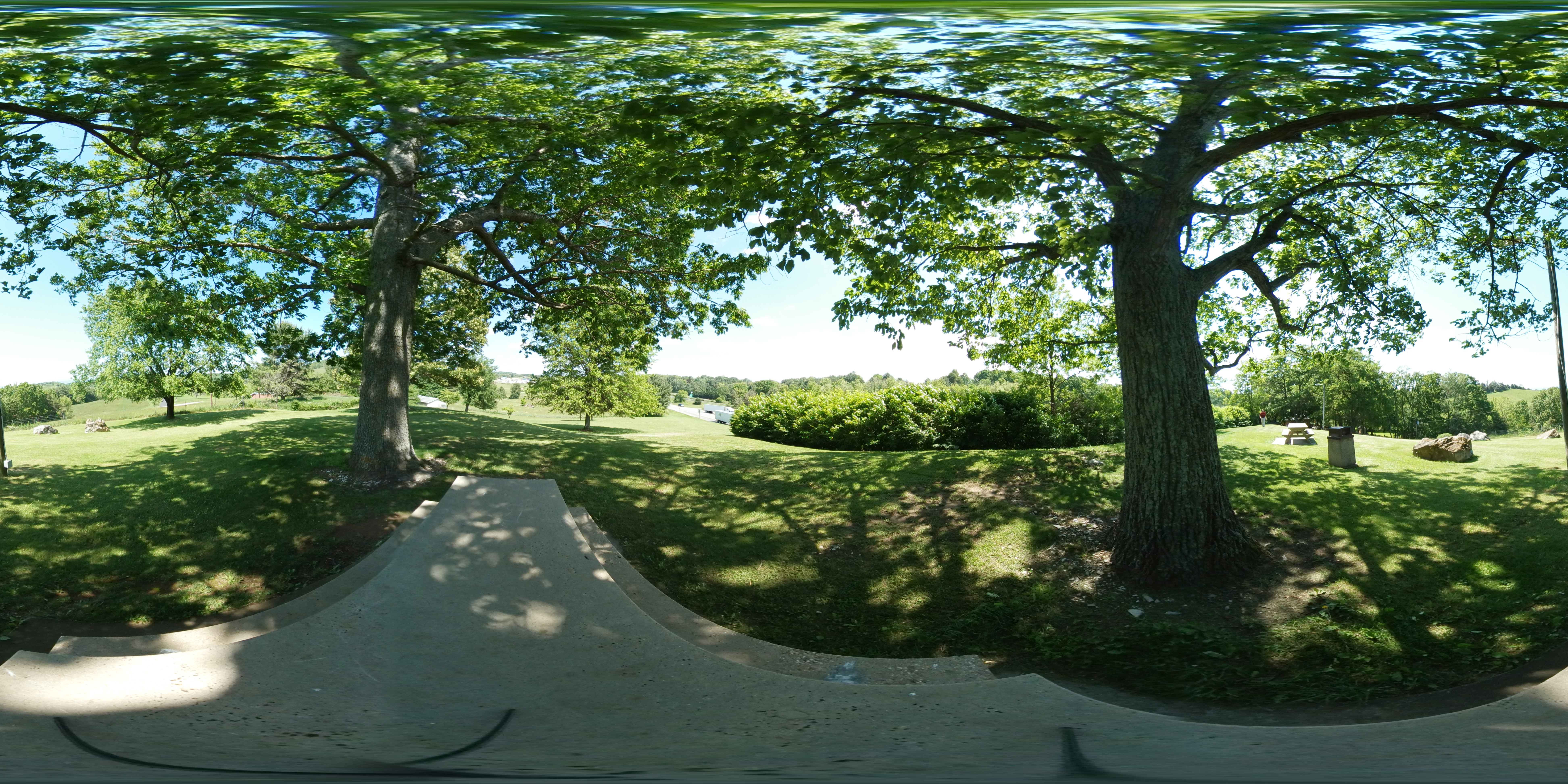
I-81 Rest Area 360
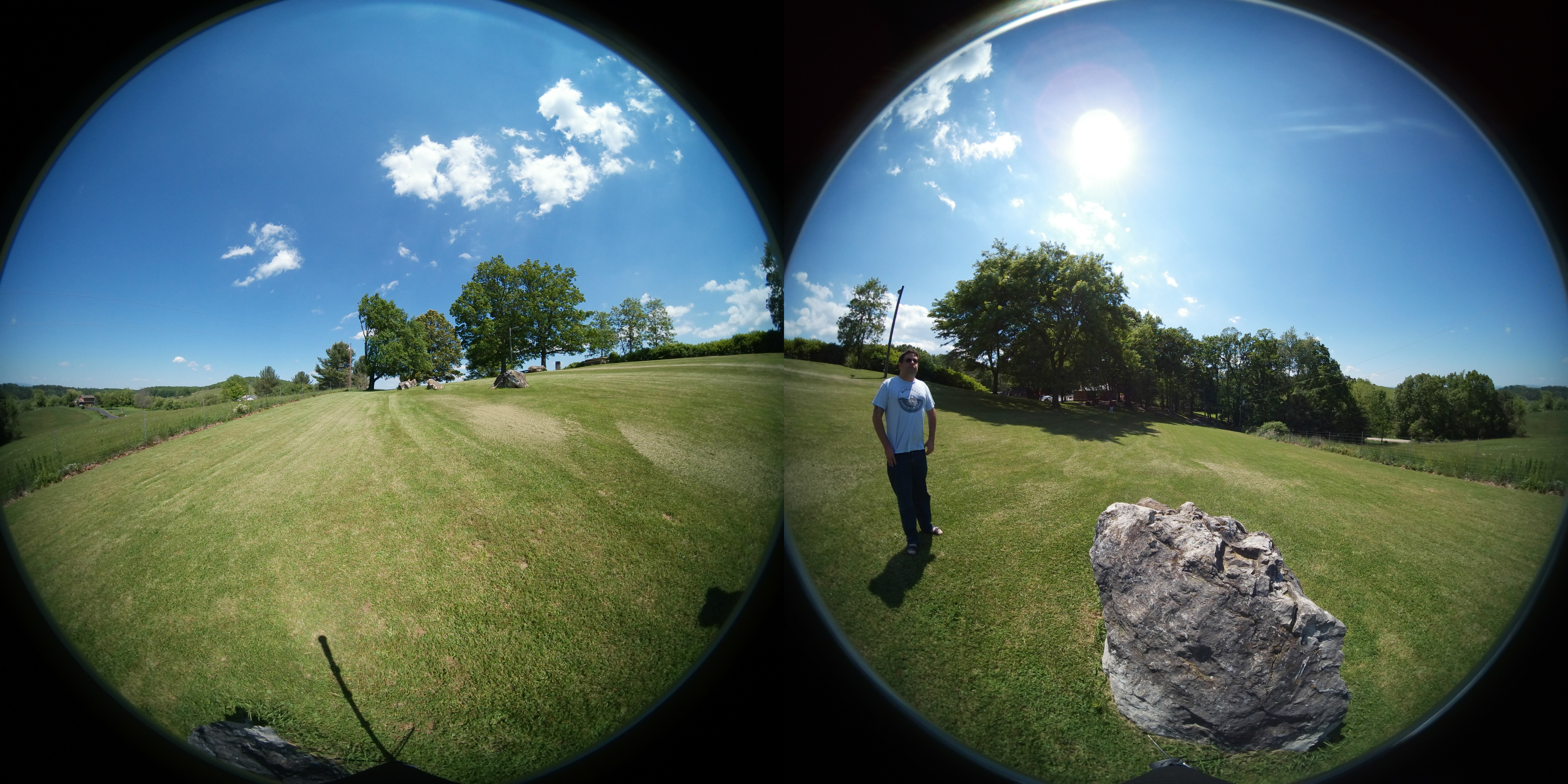
I-81 Rest Area 360
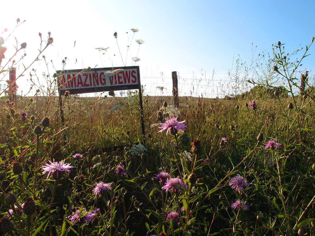
Amazing Views

2013 004
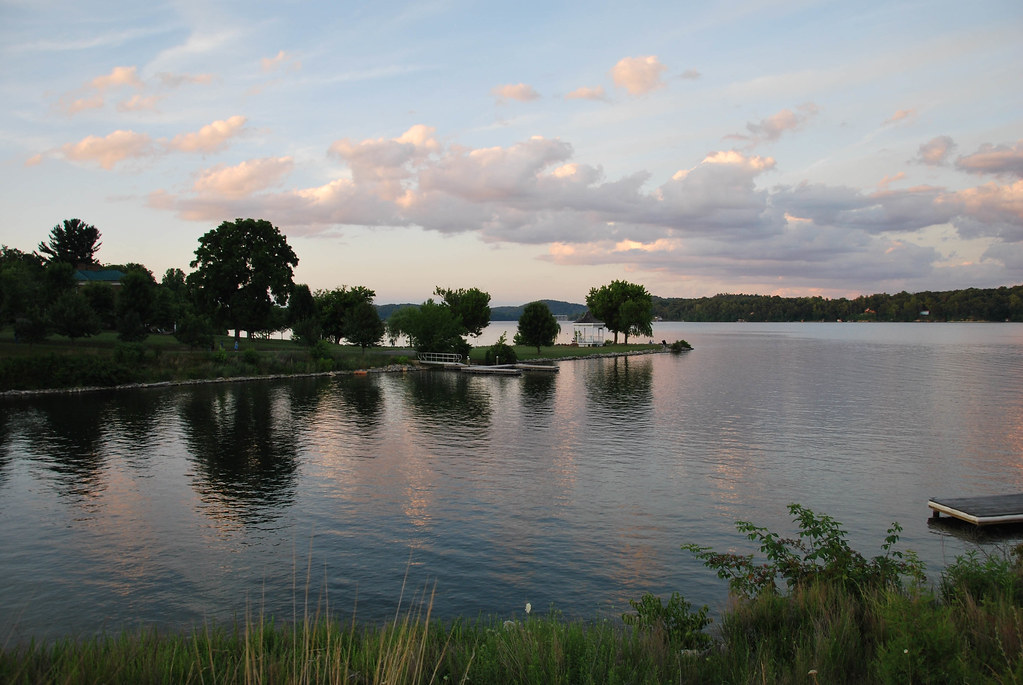
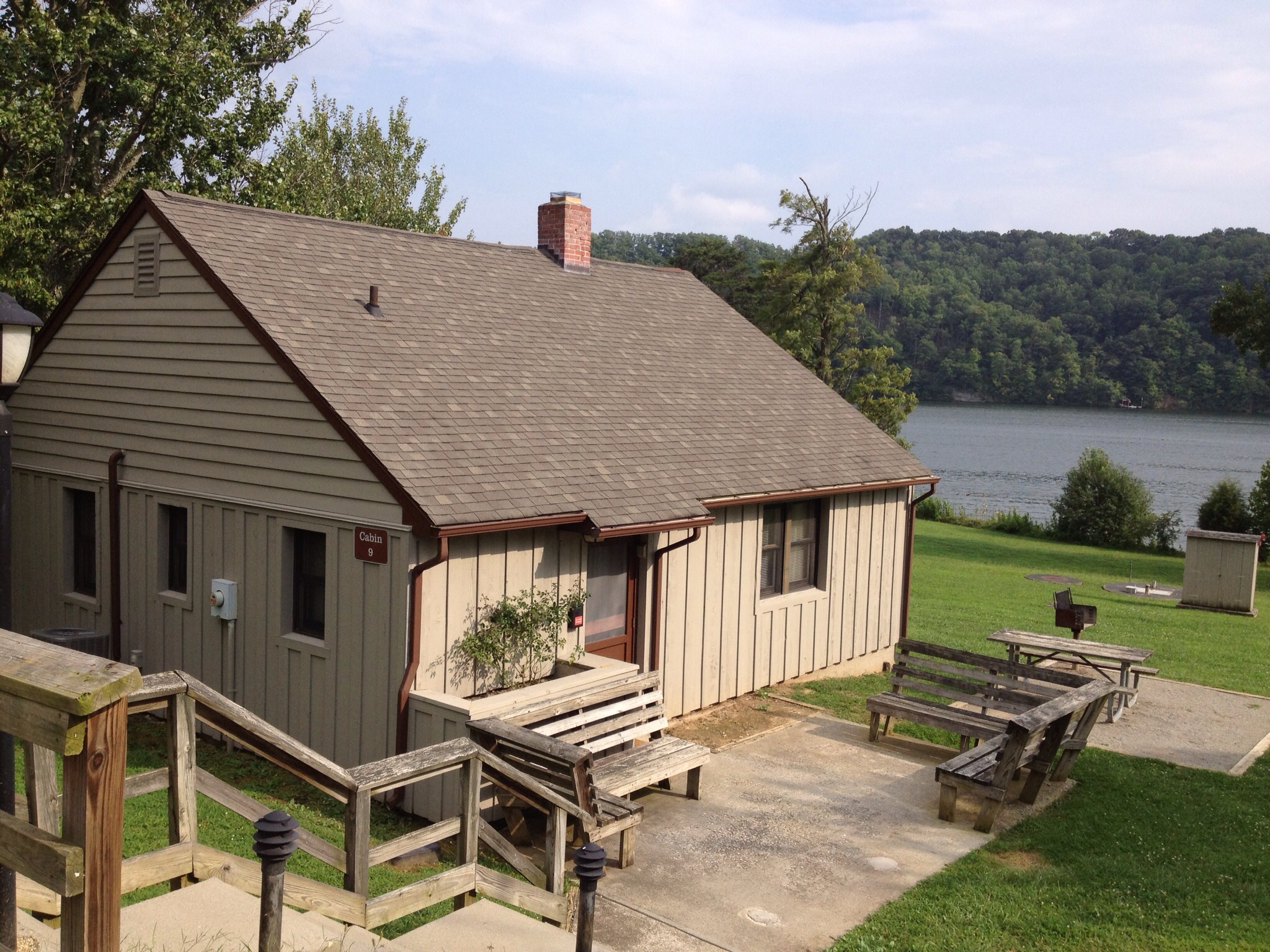
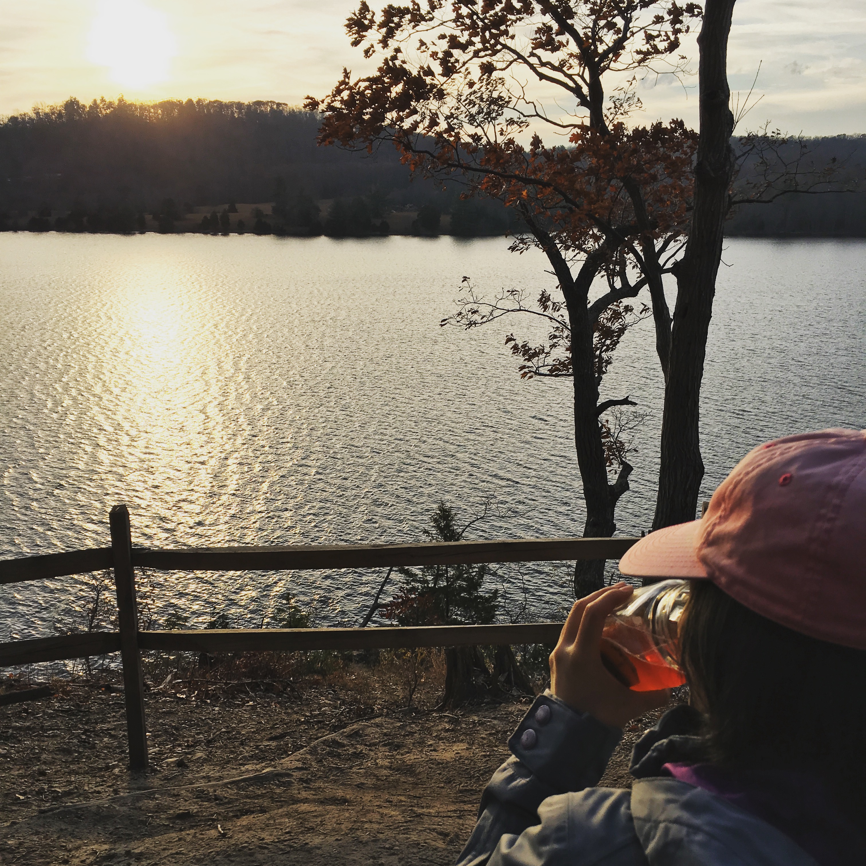
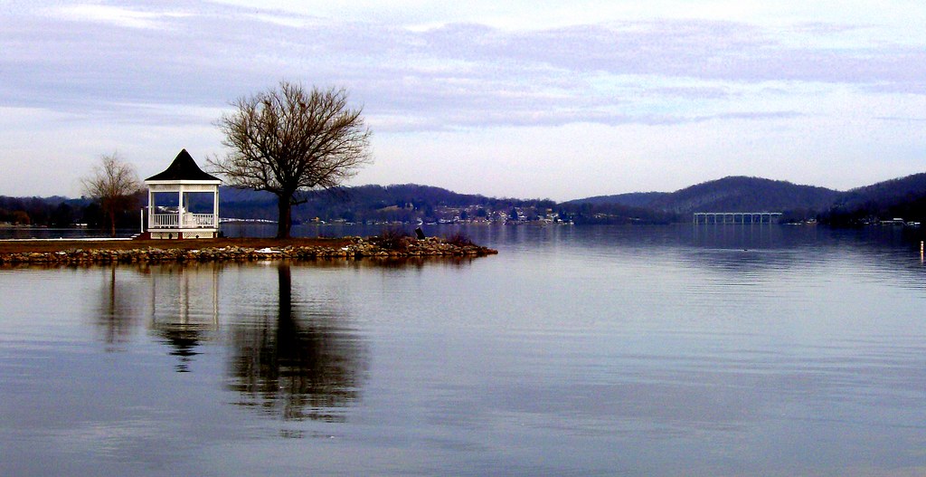
Claytor Lake
CL summer 2013
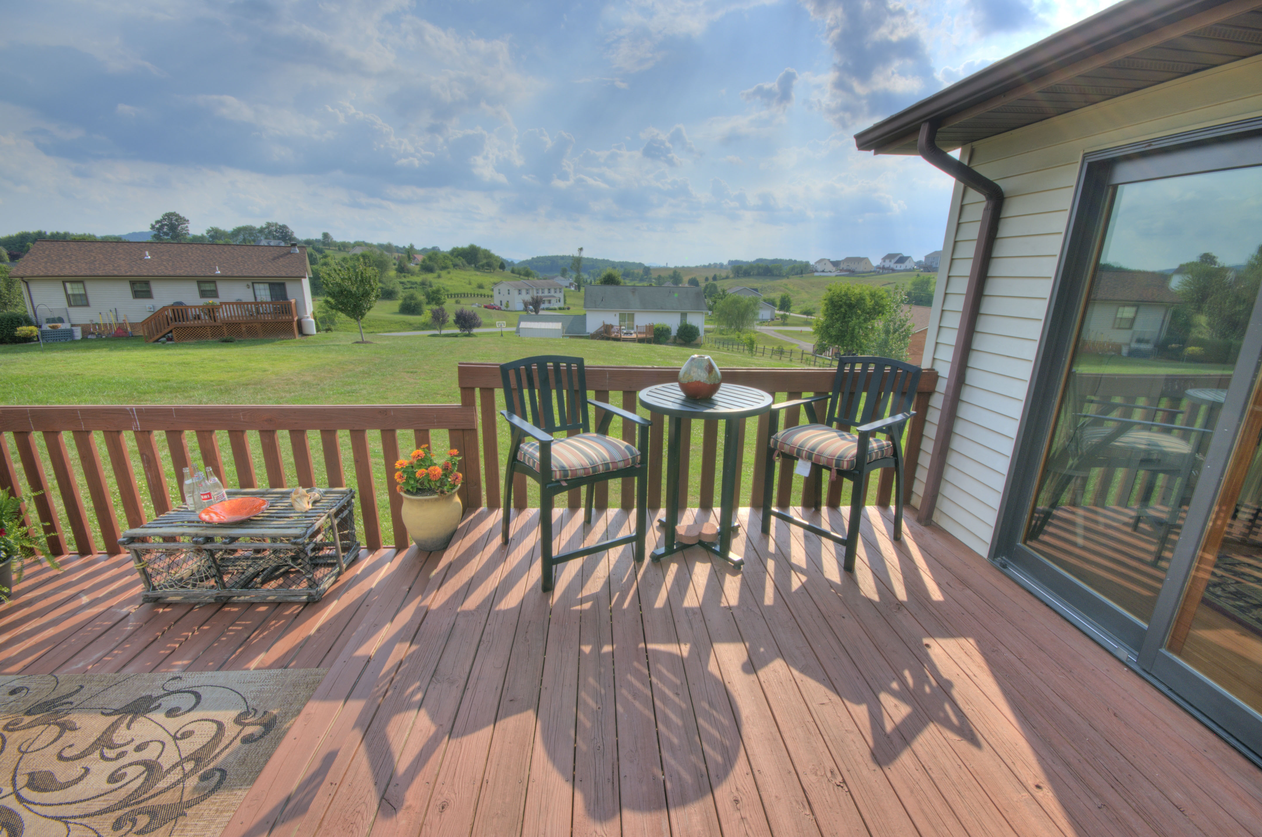
Deck with Views
Claytor Lake
Claytor Lake
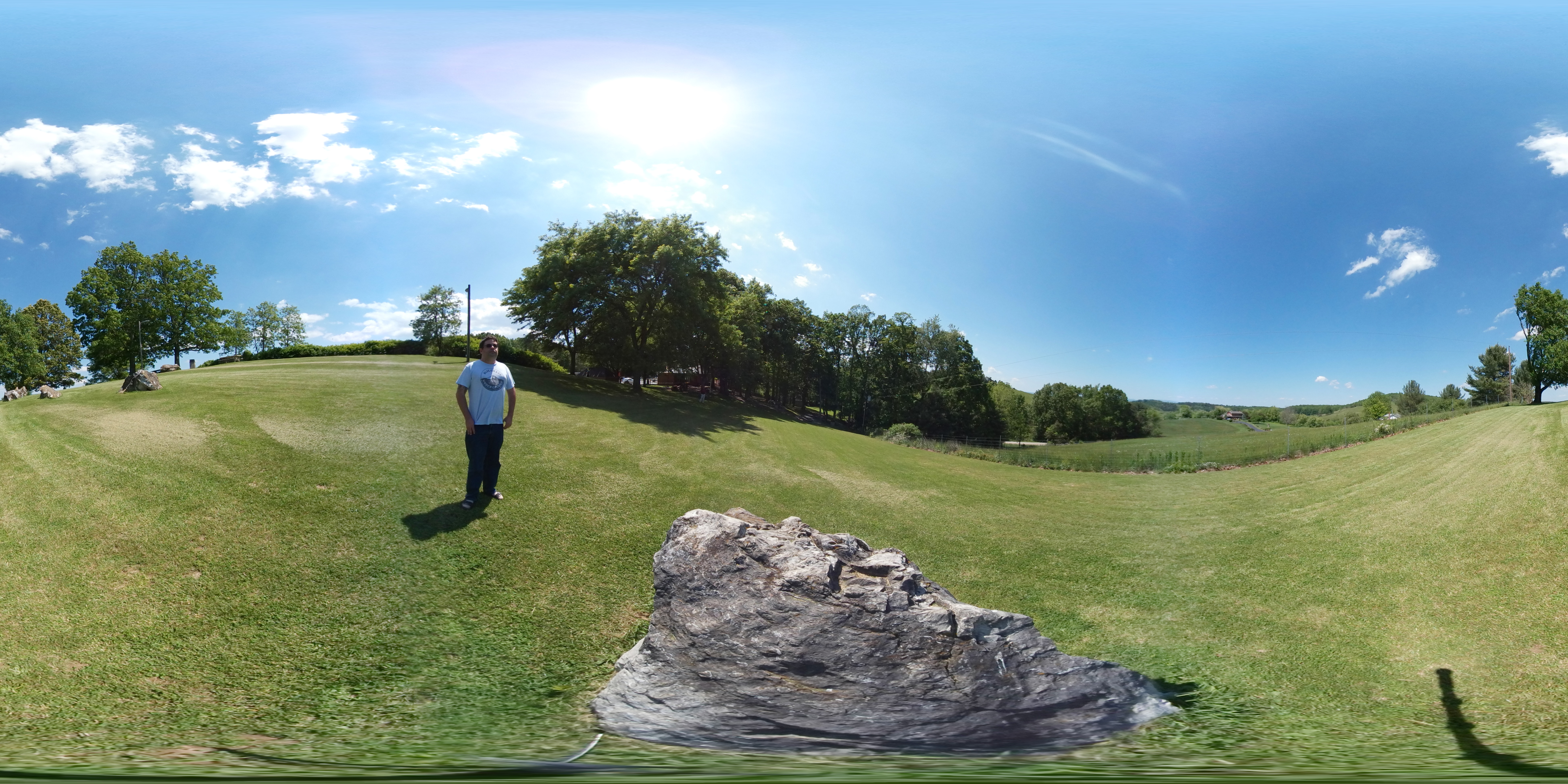
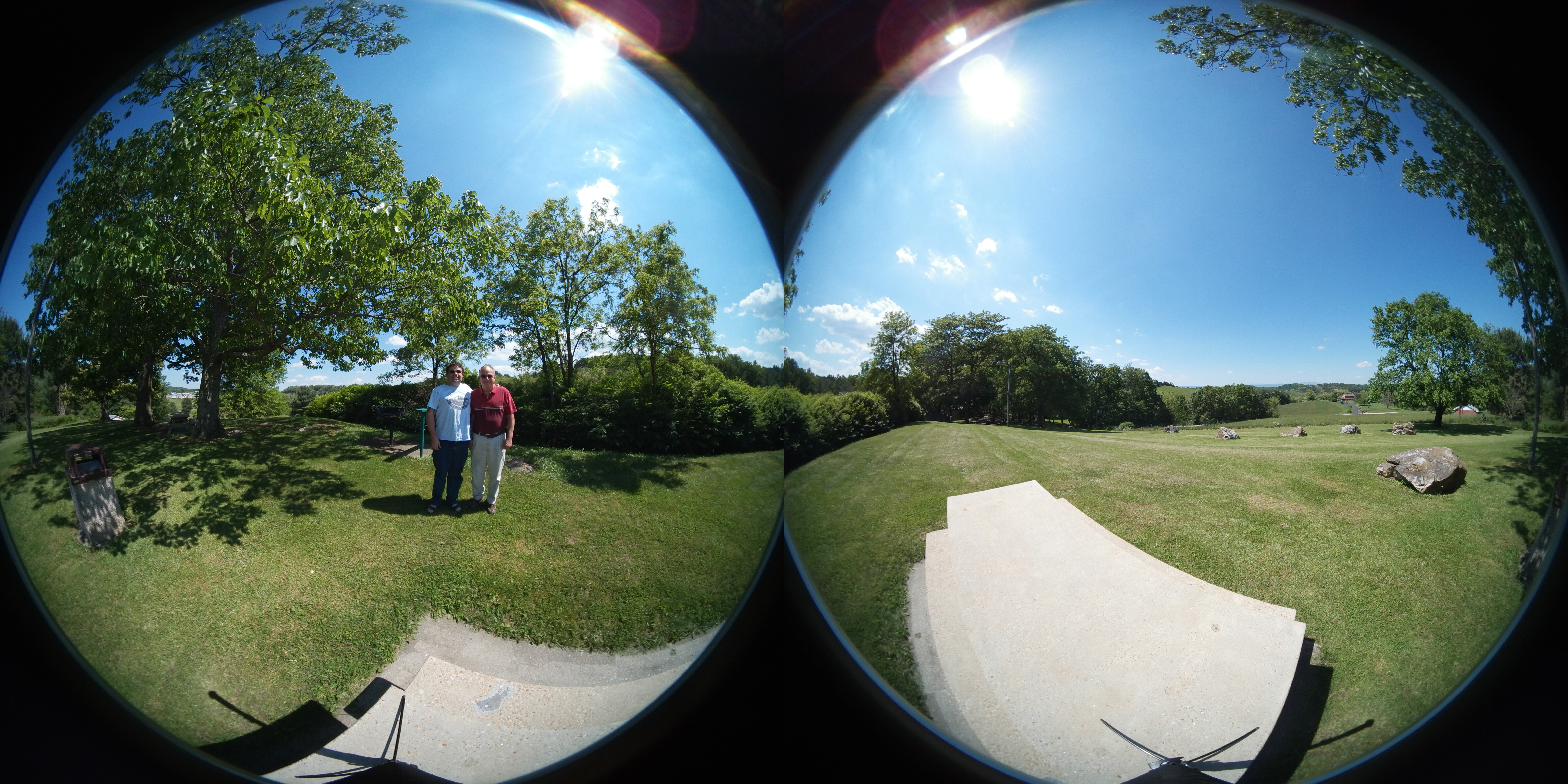
Rest Area 360
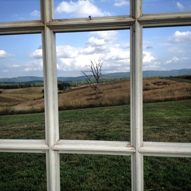
Window with a view. #rehearsal
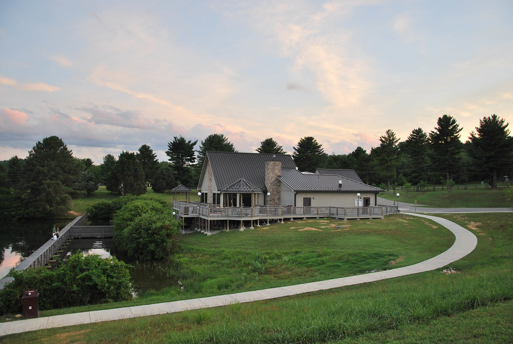
Claytor Lake State Park

Claytor Lake State Park
Rest Area 360
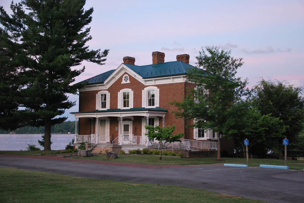
Claytor Lake State Park
Claytor Lake State Park
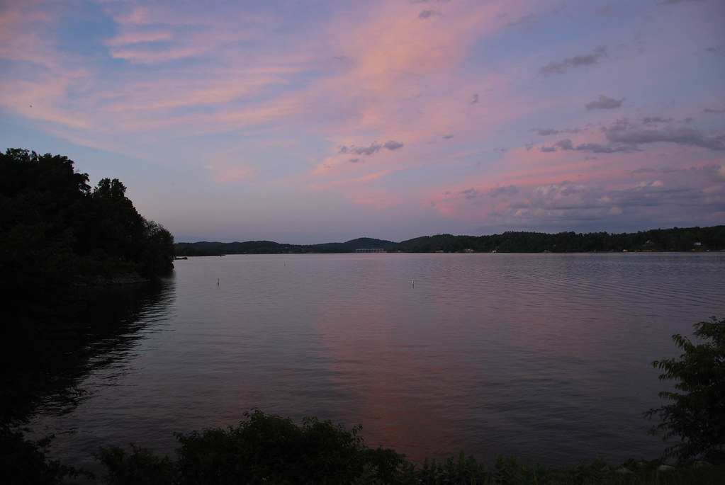
Sunset Earl Grey
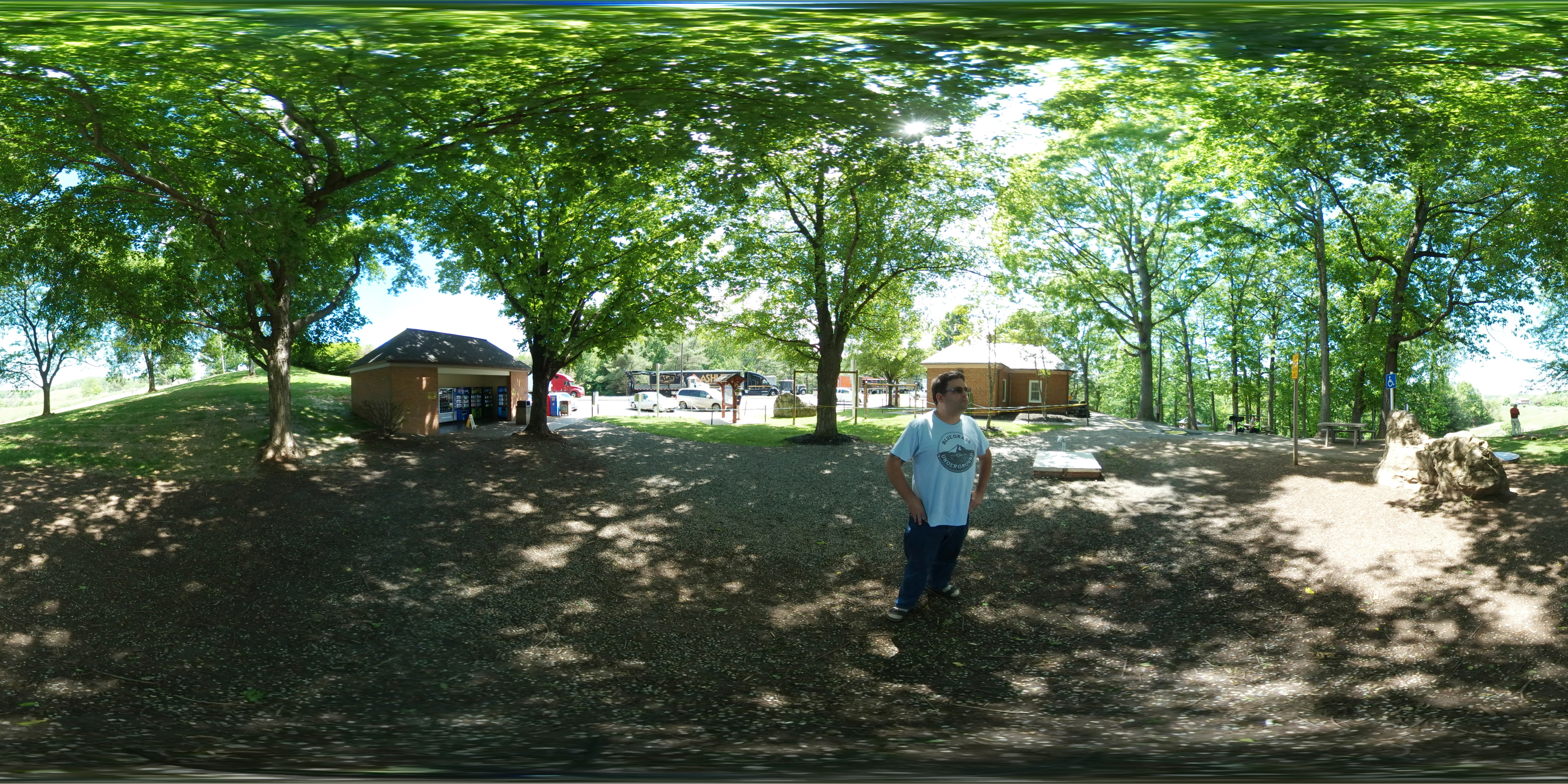
Rest Area 360
Rest Area 360

Rest Area 360
Fall at Sinkland
THE WAY HOME
Rustic Ridge
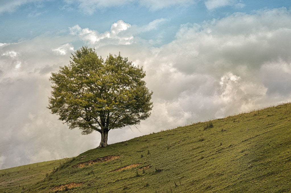
TREE ON HILL
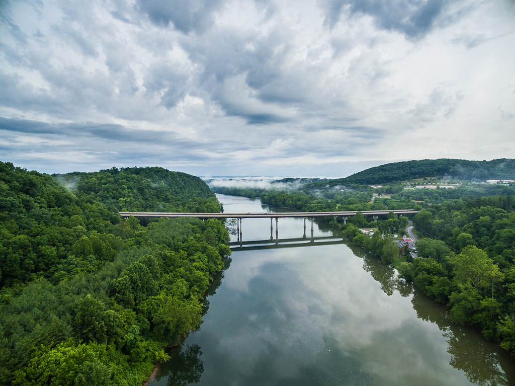
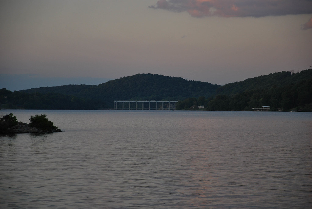
I-81 crosses the New River near Radford, via DJI Phantom 3 Pro.
Claytor Lake
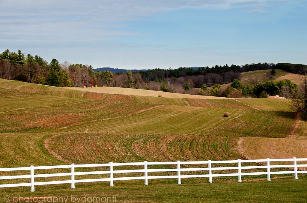
HAY FIELD
2-OnClaytorLake
3-MorningClaytorLake

BIG INDIAN CREEK
Pumpkin Pie
Queen Anne's Lace in the Meadow
Sunrise...
Fall at Claytor Lake
CL-006
DSC_2793.JPG

CL summer 2013
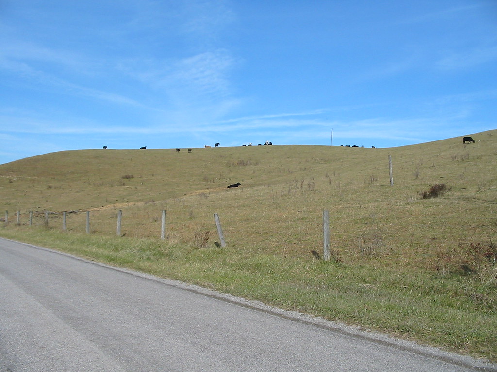
Hills and cows.
Topographic Map of Mill Rd NW, Floyd, VA, USA
Find elevation by address:

Places near Mill Rd NW, Floyd, VA, USA:
1410 White Rock Rd Nw
Reed Hill Rd NW, Floyd, VA, USA
256 Dulaney Rd Nw
6571 Chestnut Ridge Rd
3005 Alum Ridge Rd Nw
475 Loss Bent Rd Nw
319 Mystic Ln Nw
Alum Ridge Road Northwest
3413 Ridgeview Rd Nw
5900 Chestnut Ridge Rd
5820 Chestnut Ridge Rd
1995 Alum Ridge Rd Nw
4586 Alum Ridge Rd Nw
5390 Piney Woods Rd
Riner, VA, USA
398 George Reed Ln Nw
132 High Hopes Ln Nw
1022 Dusty Rock Rd Nw
545 Mt Elbert Rd Nw
355 Sam Reed Rd Nw
Recent Searches:
- Elevation of Lytham Ln, Katy, TX, USA
- Elevation of Tater Hill, Oklahoma, USA
- Elevation of NY-, Friendship, NY, USA
- Elevation of 64 Danakas Dr, Winnipeg, MB R2C 5N7, Canada
- Elevation of 4 Vale Rd, Sheffield S3 9QX, UK
- Elevation of Keene Point Drive, Keene Point Dr, Grant, AL, USA
- Elevation of State St, Zanesville, OH, USA
- Elevation of Austin Stone Dr, Haslet, TX, USA
- Elevation of Bydgoszcz, Poland
- Elevation of Bydgoszcz, Poland