Elevation of Dusty Rock Rd NW, Riner, VA, USA
Location: United States > Virginia > Floyd County > Indian Valley >
Longitude: -80.42804
Latitude: 36.96802
Elevation: 791m / 2595feet
Barometric Pressure: 92KPa
Elevation Map:
Satellite Map:
Related Photos:
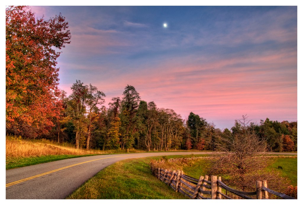
Fall is here !!
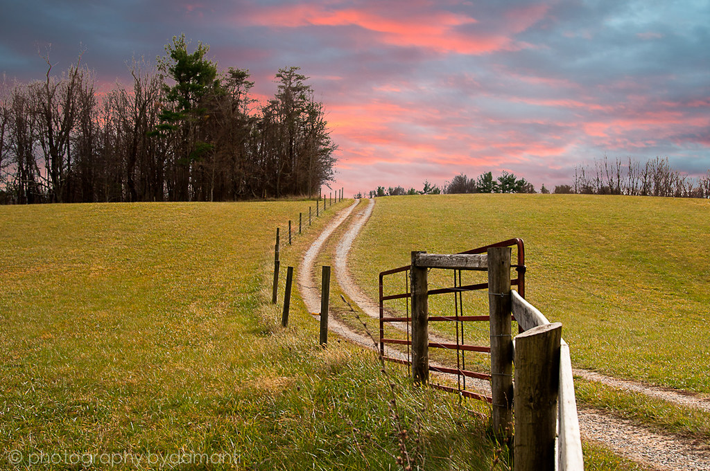
THE WAY HOME
AFTERNOON STROLL
Rustic Ridge

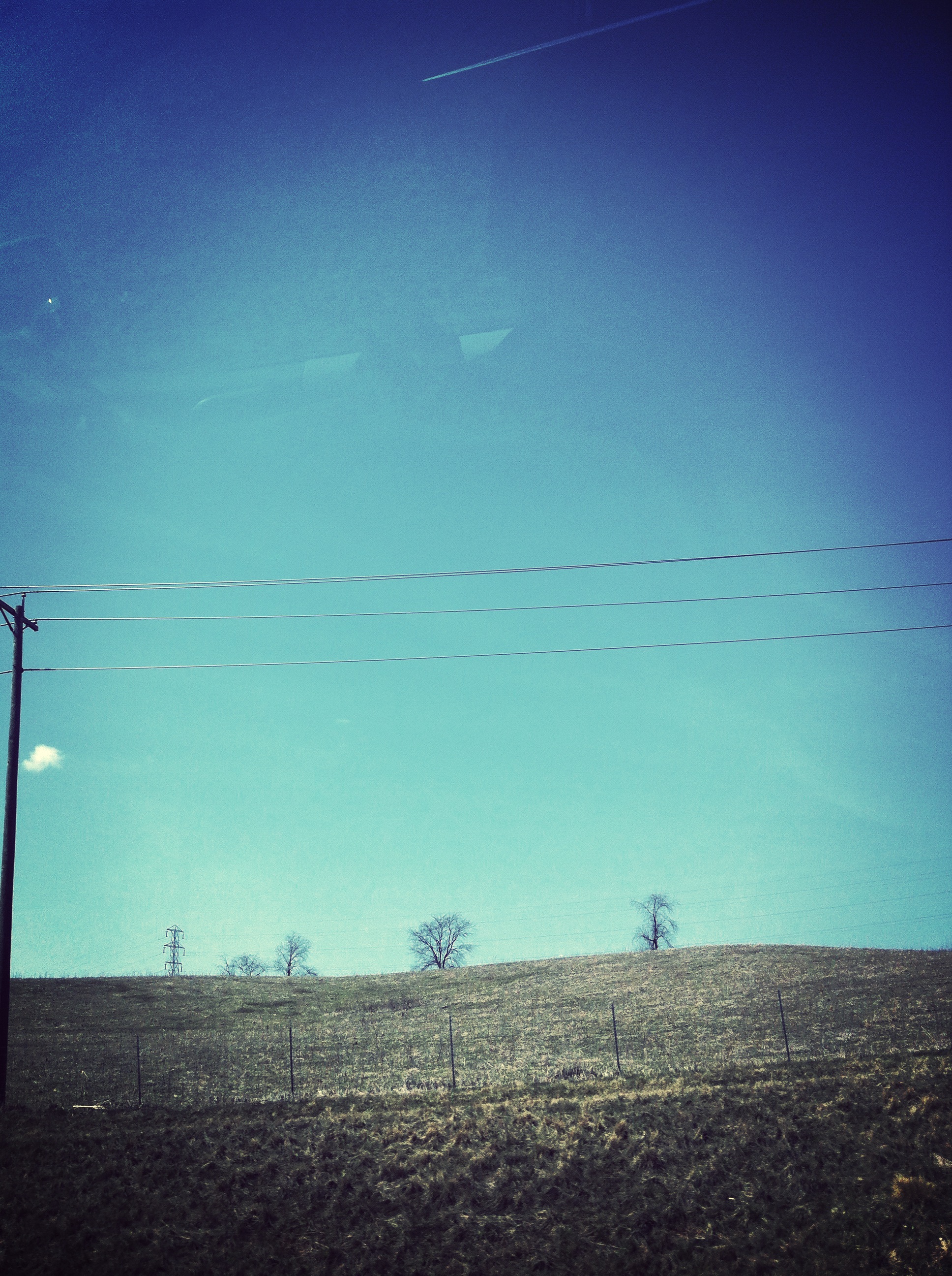
PASTURE TRACKS
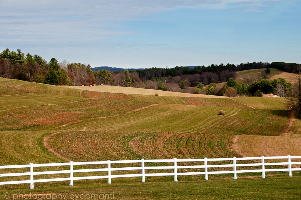
HAY FIELD
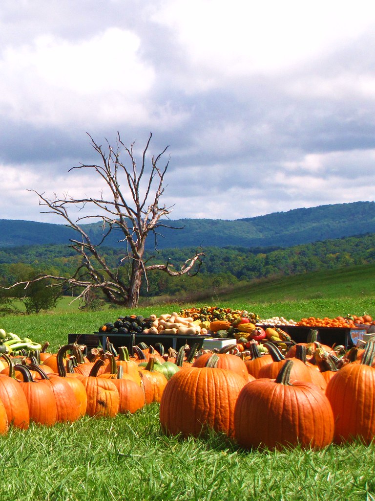
Pumpkin Pie
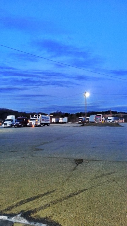
Road trip
Fall at Sinkland

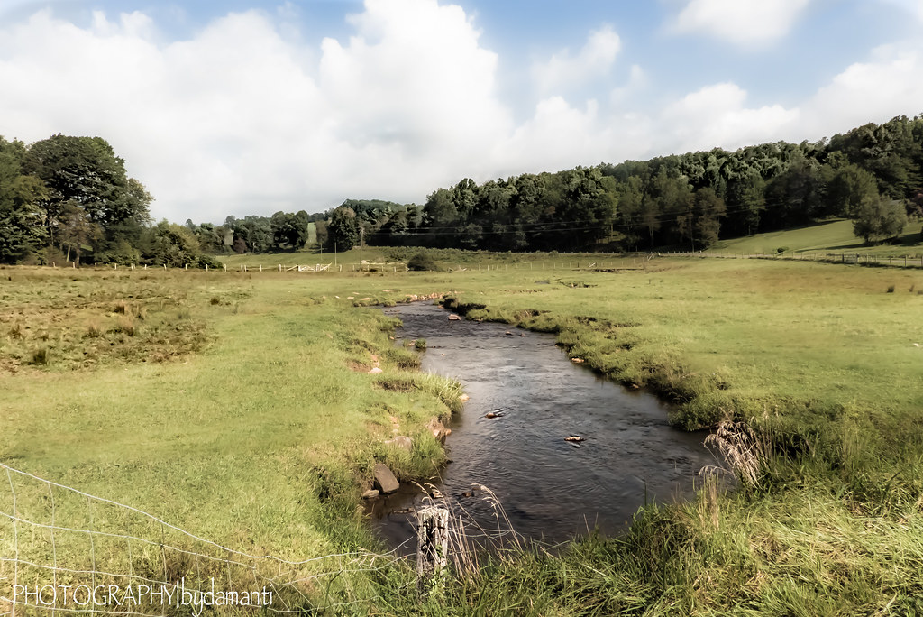
BIG INDIAN CREEK
LOWER PASTURE
Sunrise...
WOODS GAP CREEK
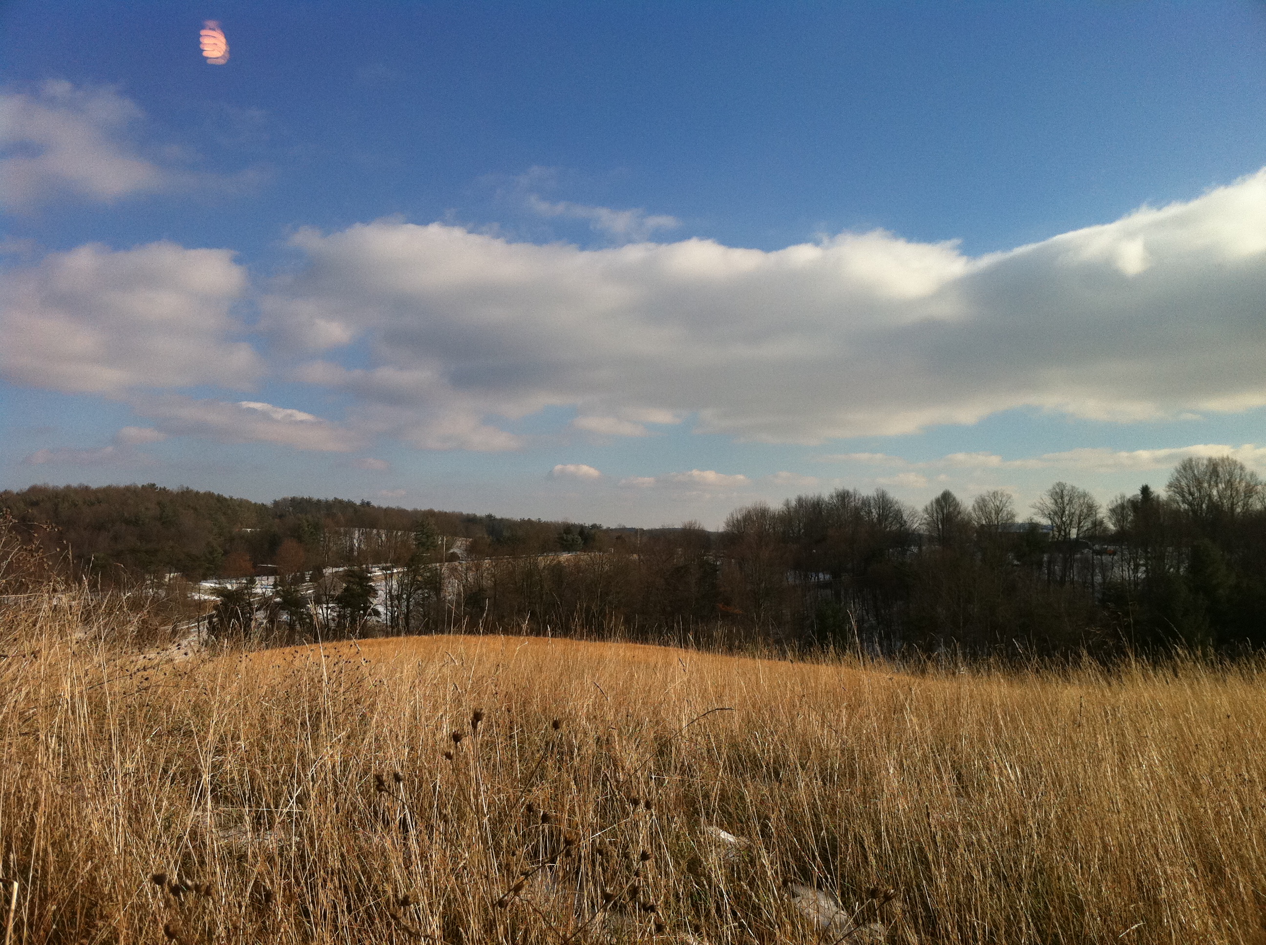
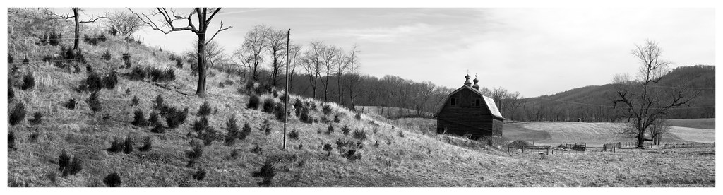
Winter Landscape in Check, Virginia
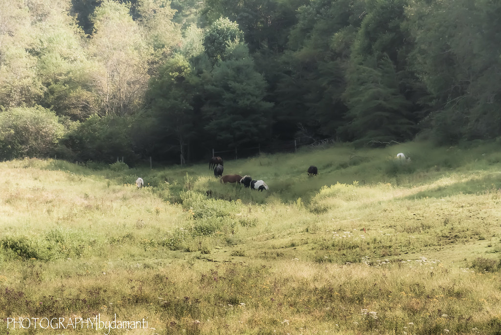
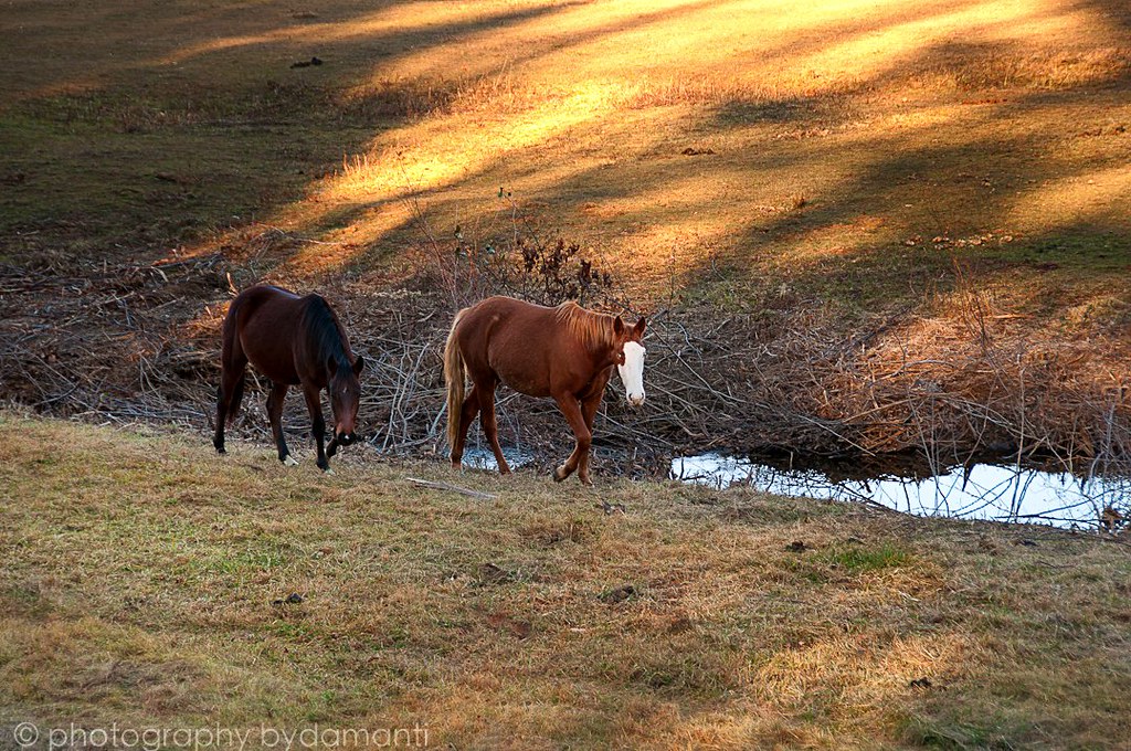
GRAZING HORSES
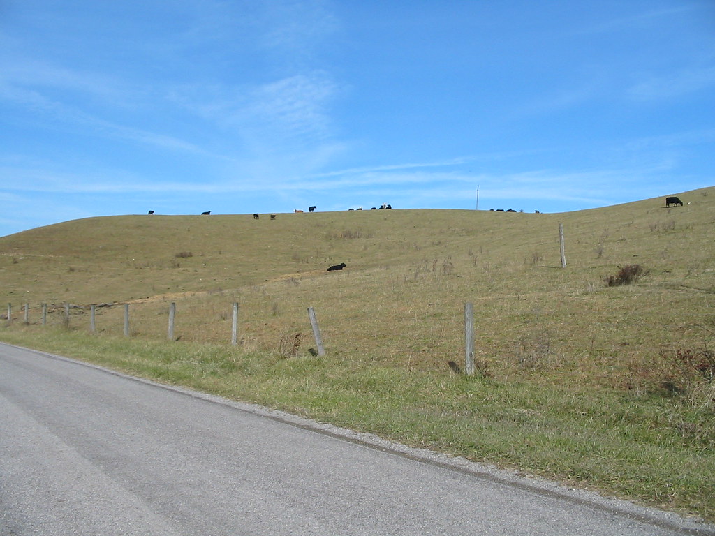
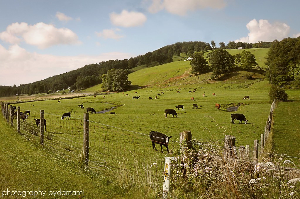
Hills and cows.
Rainy Season in the Virginia Mountains
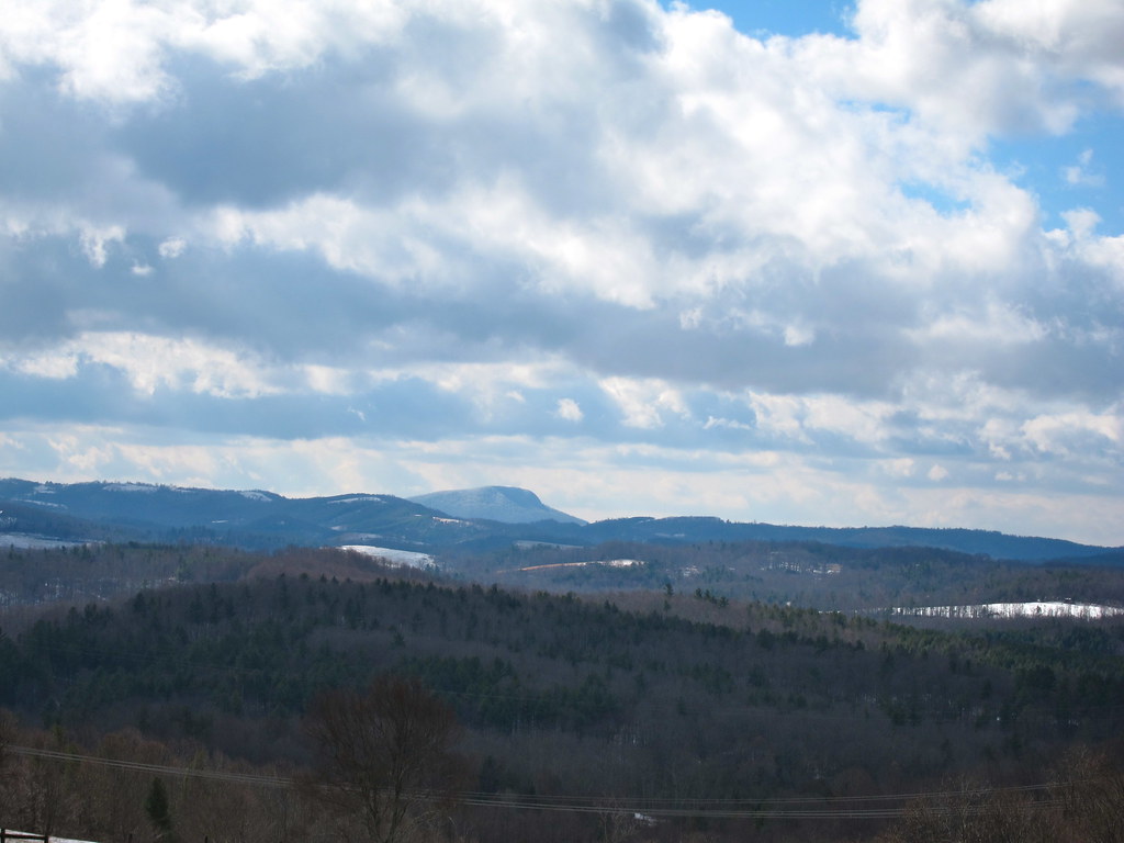
Buffalo Mountain
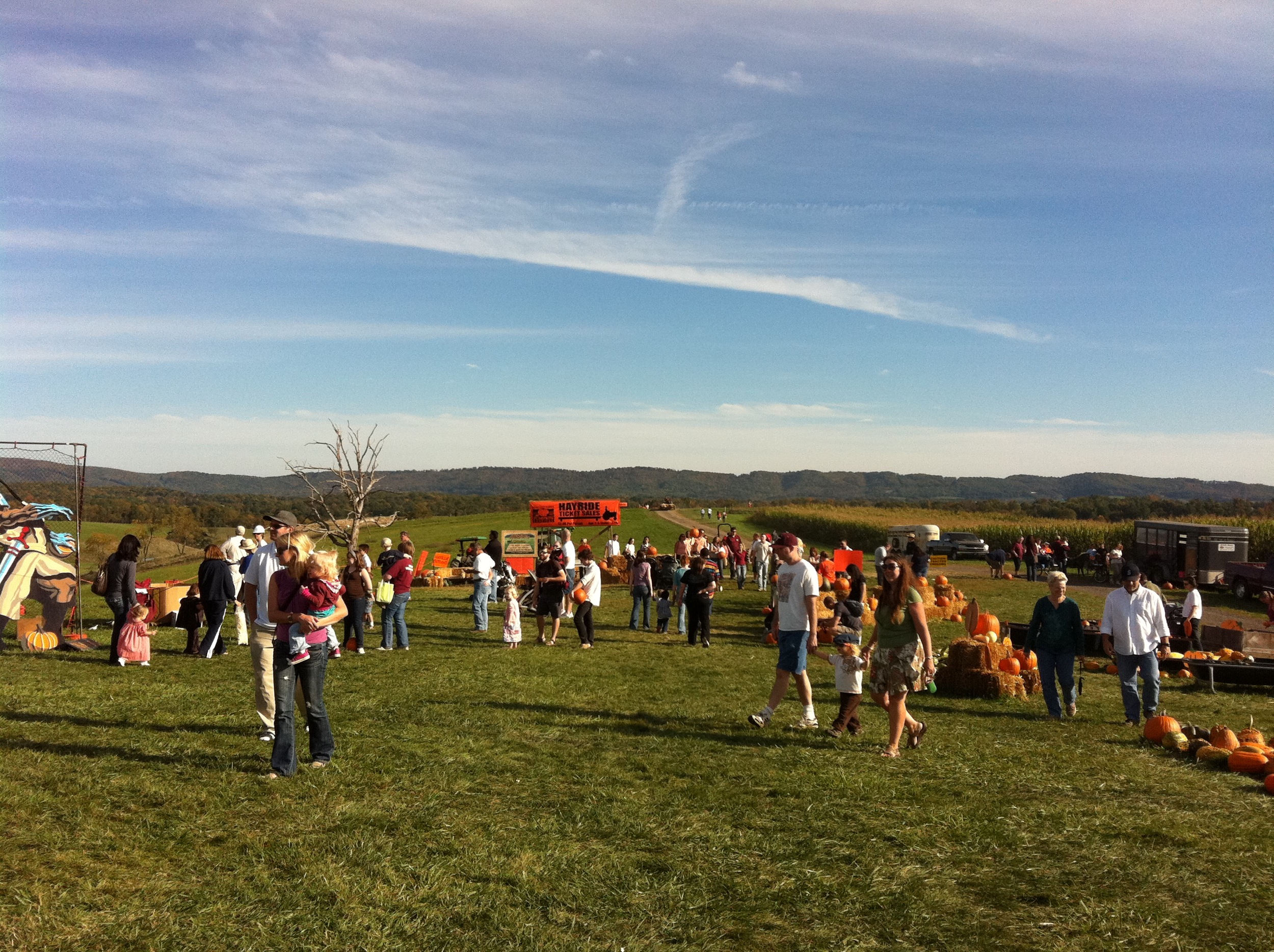
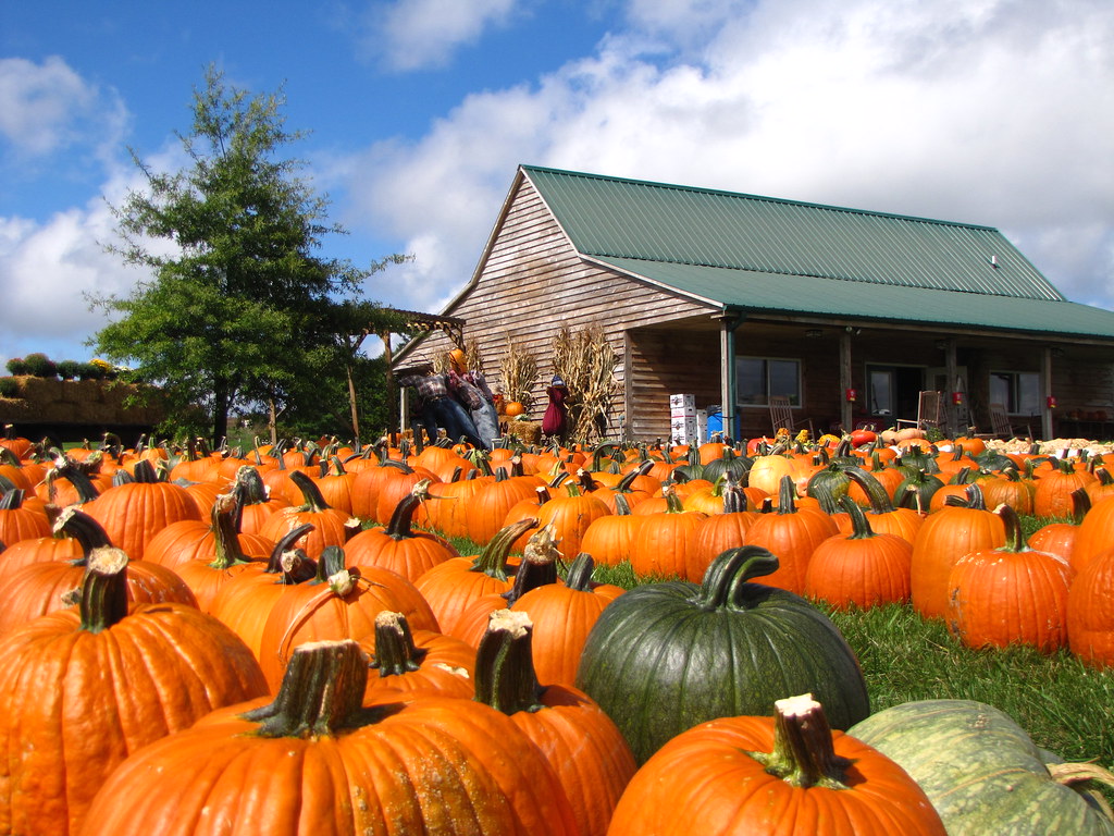
Sinkland Farms
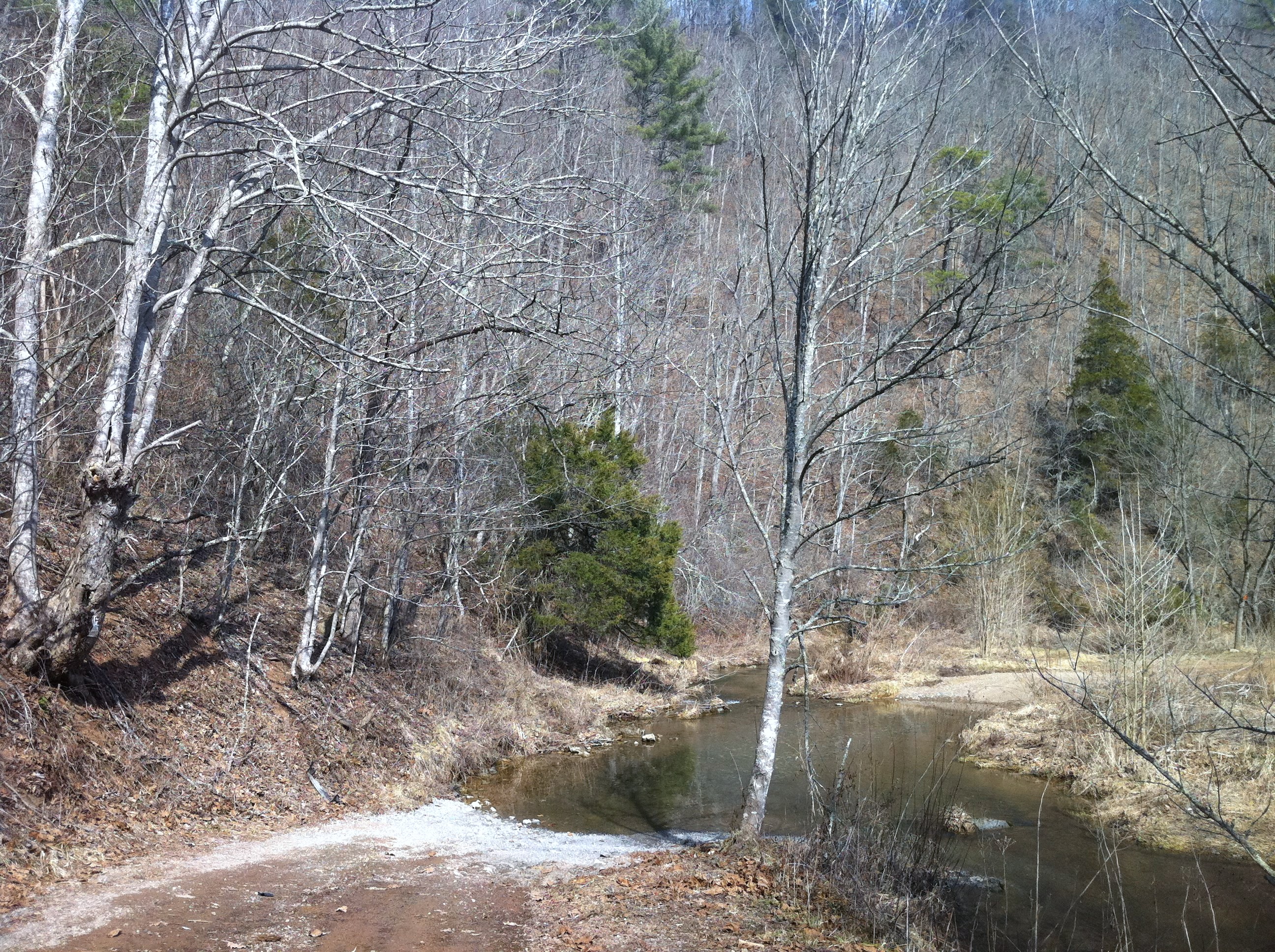
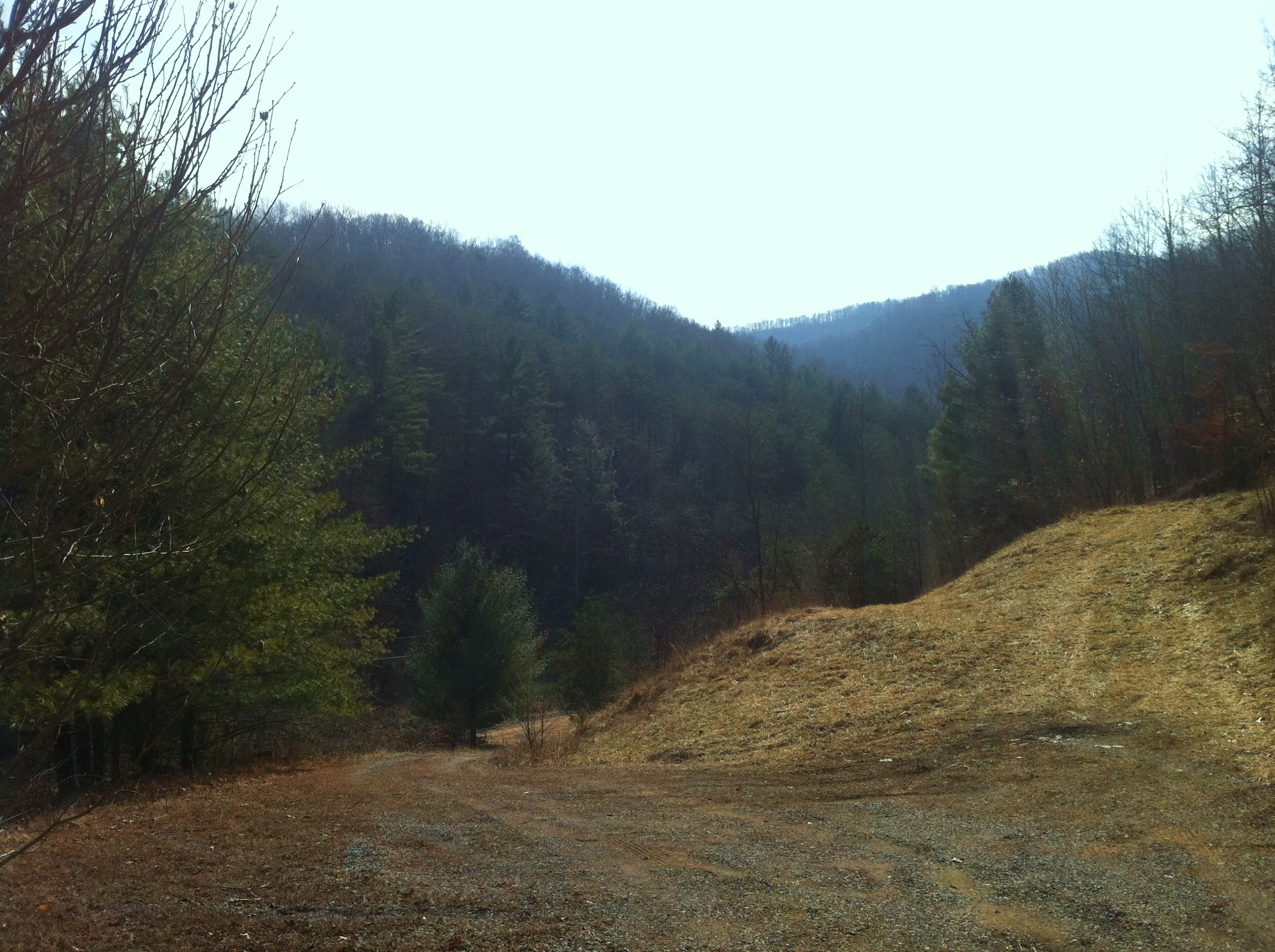
Washed out road near Elliott Creek

Pastoral Views
Topographic Map of Dusty Rock Rd NW, Riner, VA, USA
Find elevation by address:

Places near Dusty Rock Rd NW, Riner, VA, USA:
4586 Alum Ridge Rd Nw
207 Yellow Brick Rd Nw
355 Sam Reed Rd Nw
1501 Ridgeview Rd Nw
545 Mt Elbert Rd Nw
475 Loss Bent Rd Nw
398 George Reed Ln Nw
Alum Ridge Road Northwest
132 High Hopes Ln Nw
201 Beaver Creek Rd Nw
5375 Harvest Rd
3413 Ridgeview Rd Nw
2334 Webbs Mill Rd N
3005 Alum Ridge Rd Nw
256 Dulaney Rd Nw
1995 Alum Ridge Rd Nw
5820 Chestnut Ridge Rd
5900 Chestnut Ridge Rd
5281 Riner Rd
Reed Hill Rd NW, Floyd, VA, USA
Recent Searches:
- Elevation of Congressional Dr, Stevensville, MD, USA
- Elevation of Bellview Rd, McLean, VA, USA
- Elevation of Stage Island Rd, Chatham, MA, USA
- Elevation of Shibuya Scramble Crossing, 21 Udagawacho, Shibuya City, Tokyo -, Japan
- Elevation of Jadagoniai, Kaunas District Municipality, Lithuania
- Elevation of Pagonija rock, Kranto 7-oji g. 8"N, Kaunas, Lithuania
- Elevation of Co Rd 87, Jamestown, CO, USA
- Elevation of Tenjo, Cundinamarca, Colombia
- Elevation of Côte-des-Neiges, Montreal, QC H4A 3J6, Canada
- Elevation of Bobcat Dr, Helena, MT, USA