Elevation of Mill Creek Township, AR, USA
Location: United States > Arkansas > Scott County >
Longitude: -94.089991
Latitude: 34.7277359
Elevation: 253m / 830feet
Barometric Pressure: 98KPa
Elevation Map:
Satellite Map:
Related Photos:
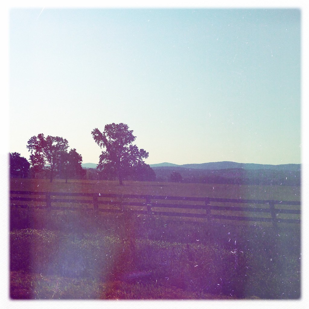
The view
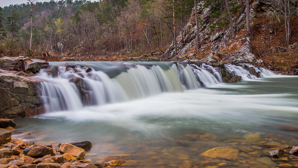
Waterfall on Mill Creek
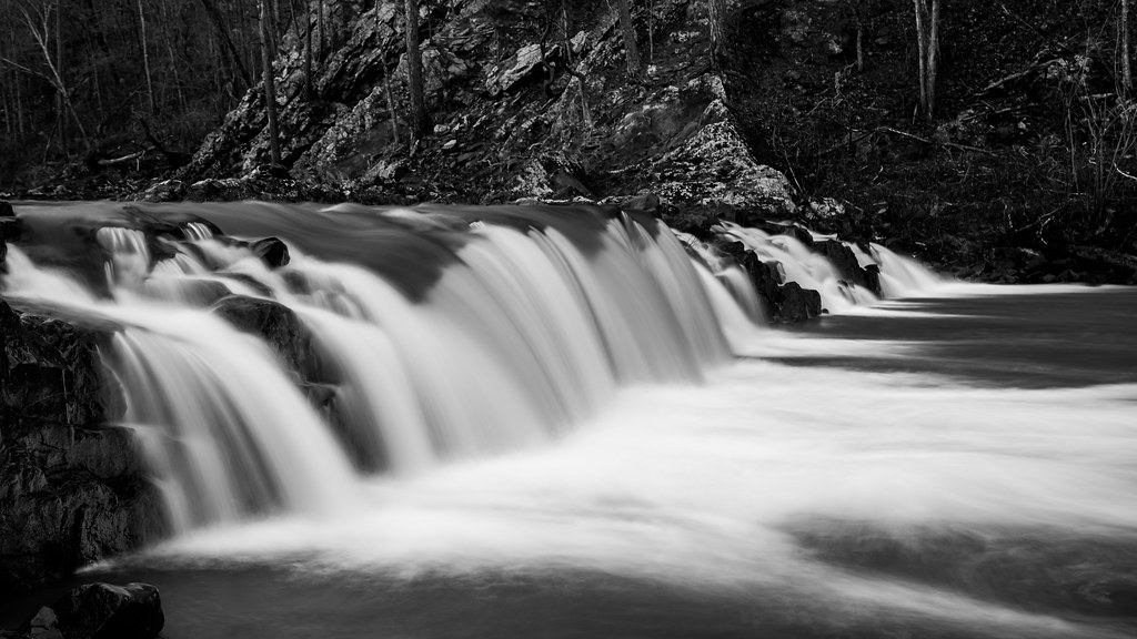
Falls on Mill Creek
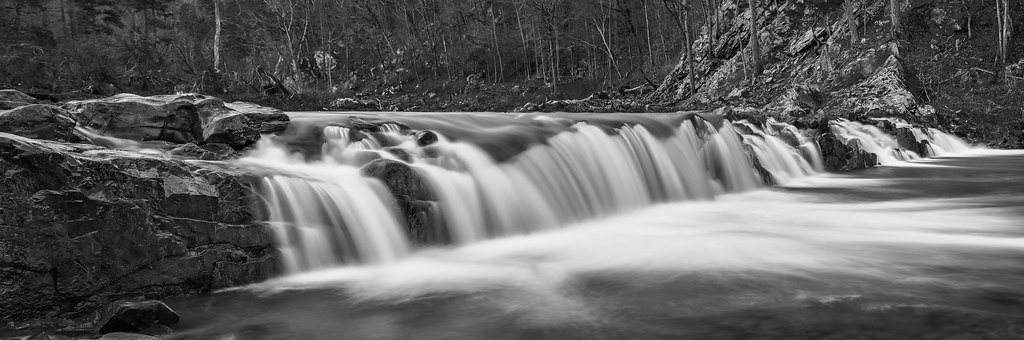
Waterfall on Mill Creek
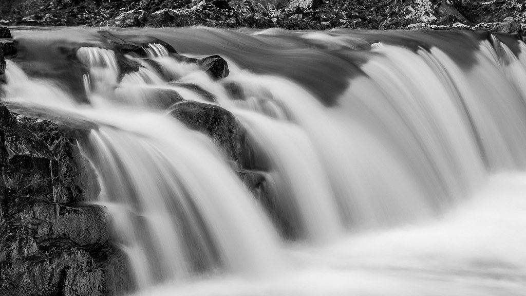
Waterfall on Mill Creek
Fourche Lafave River
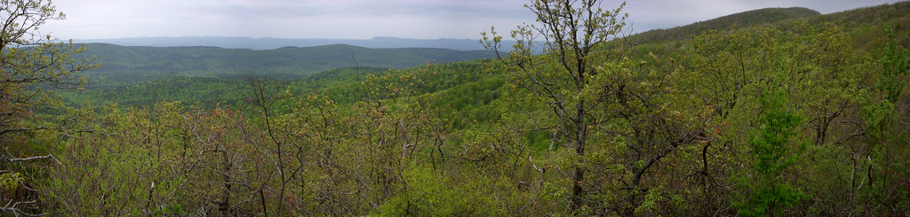
OT04Panorama04182010-103146
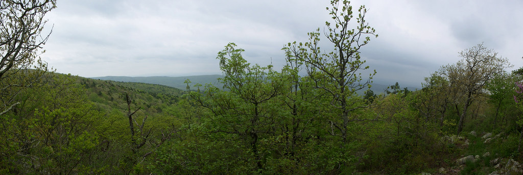
OT04Panorama04172010-151609
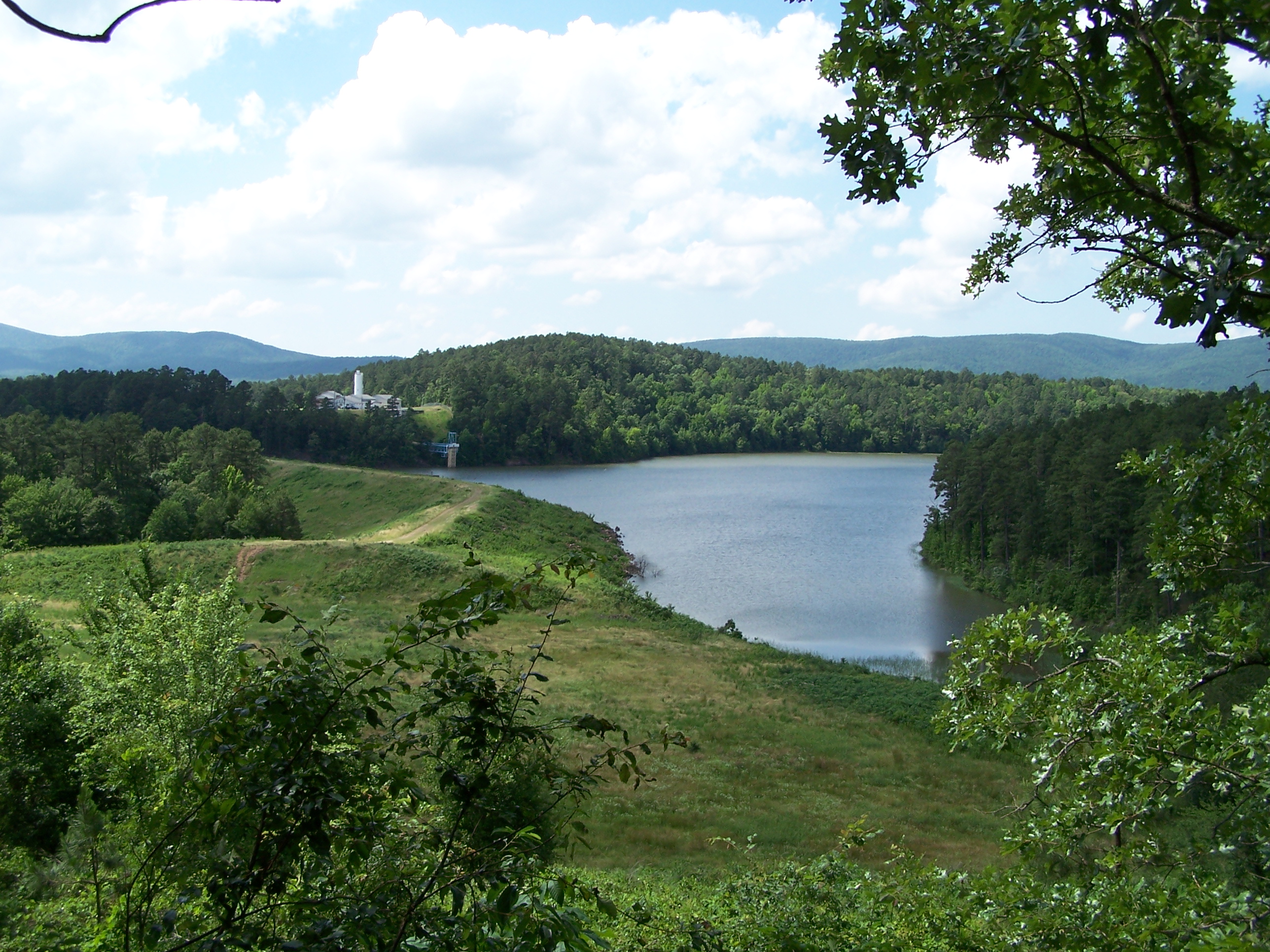
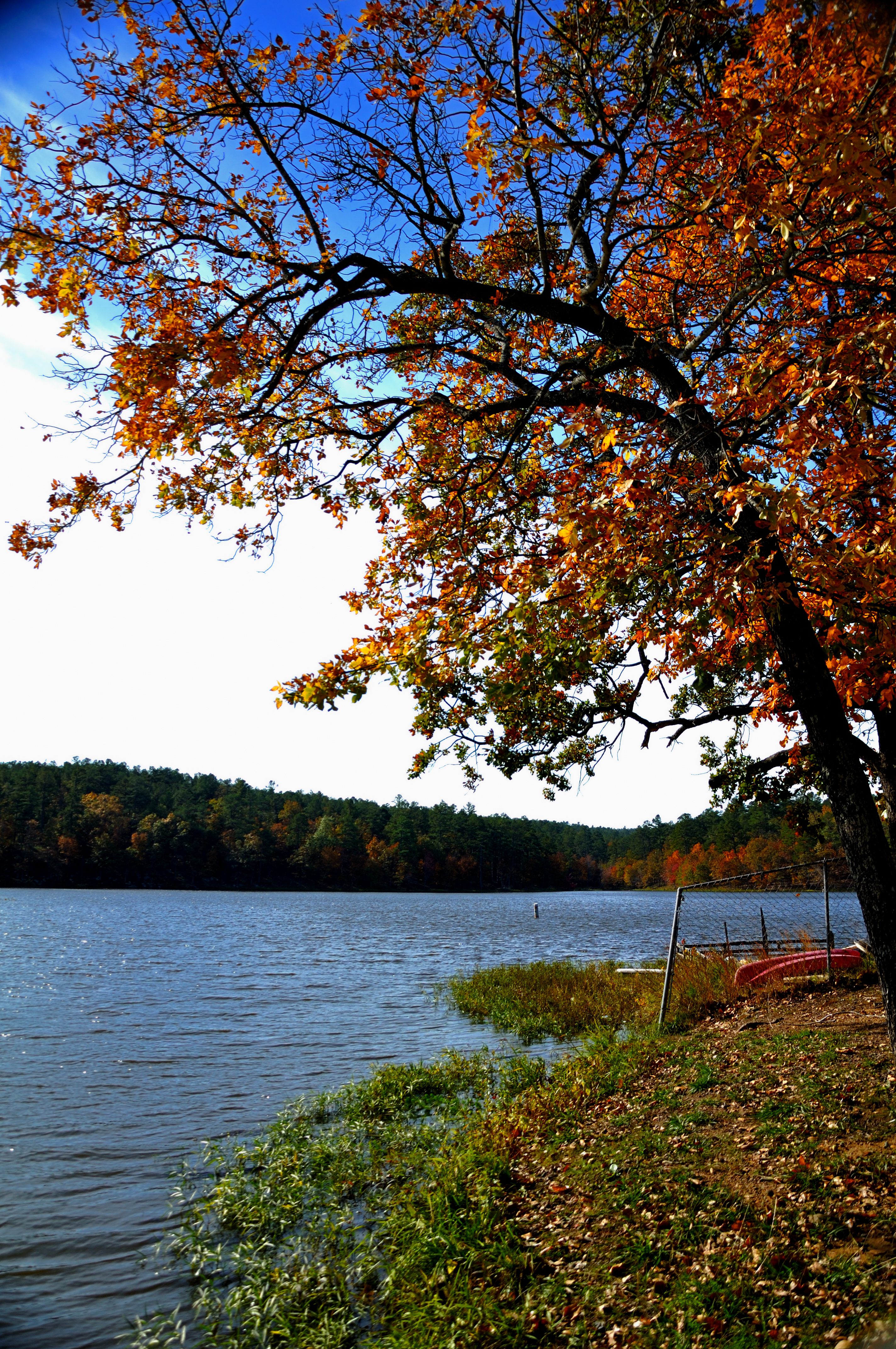
Irons Fork Lake
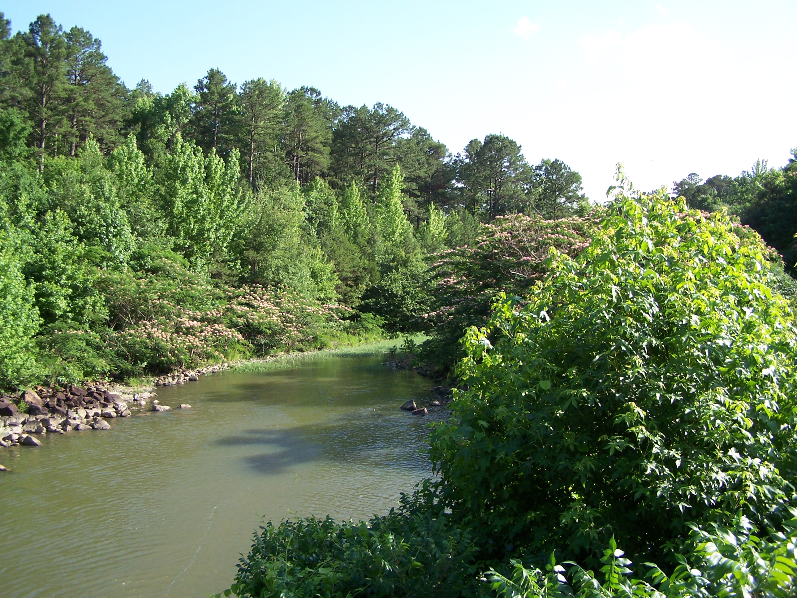
Irons Fork Creek
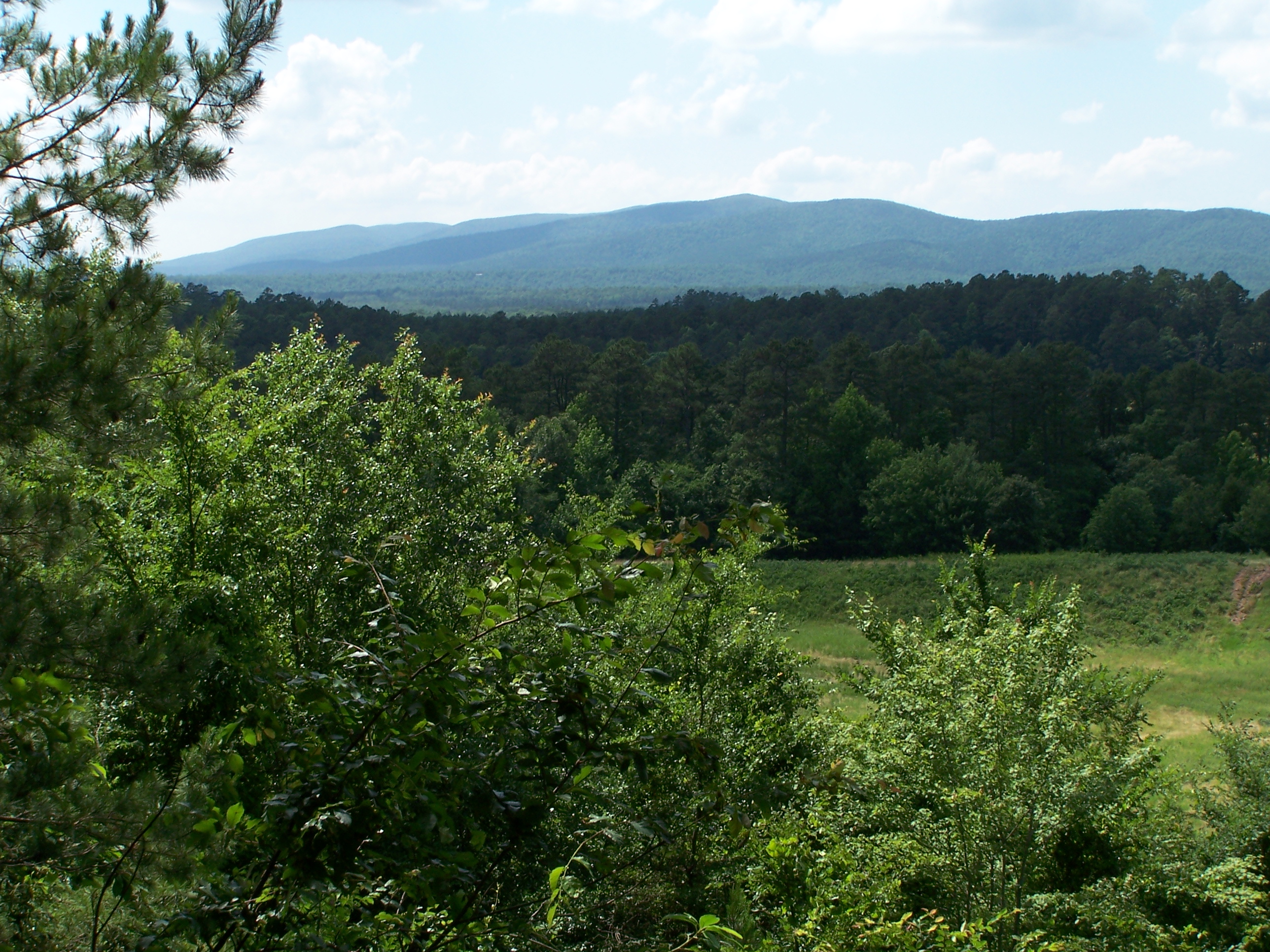
Ouachita Mountains
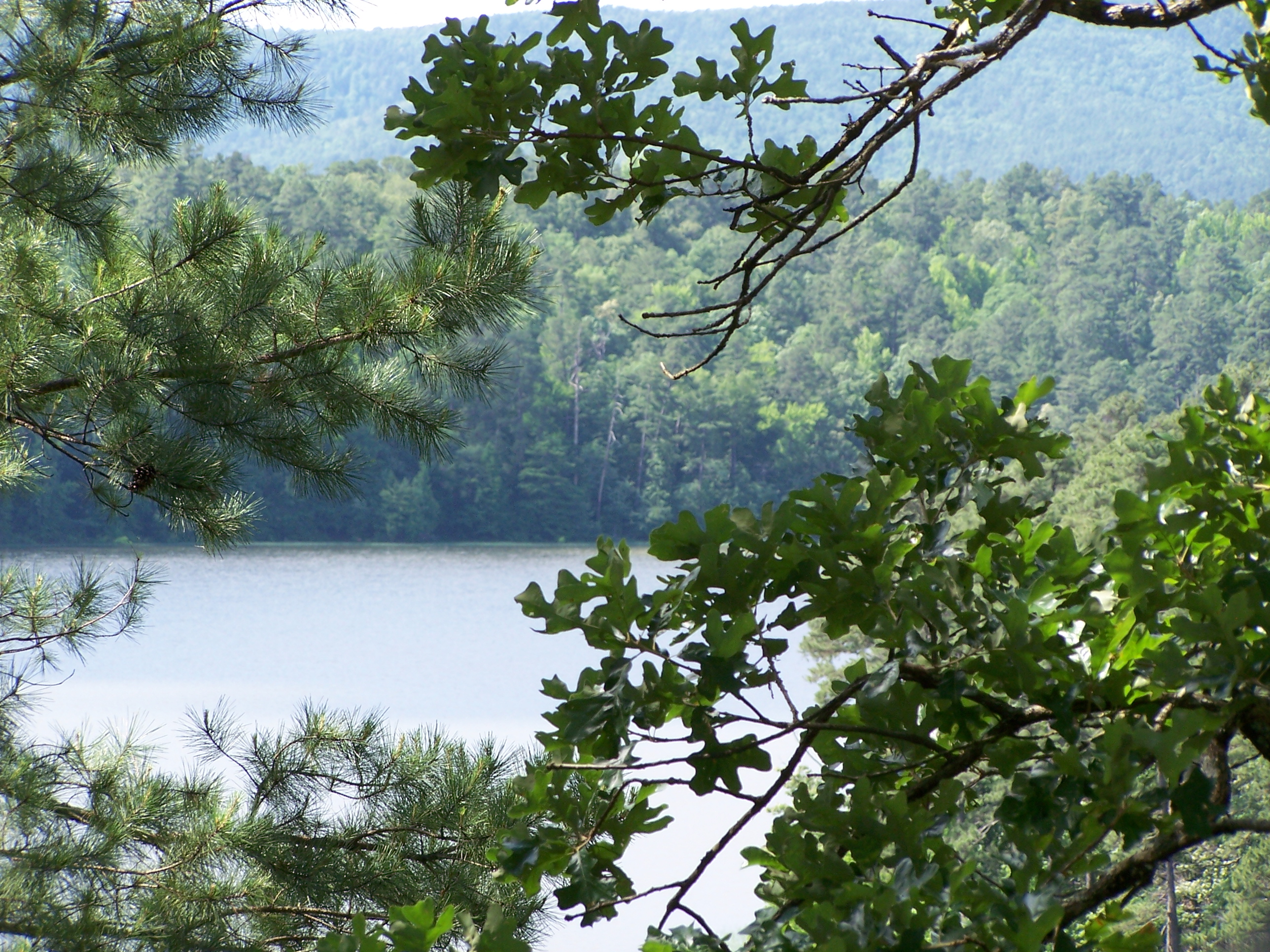
Irons Fork Lake
Topographic Map of Mill Creek Township, AR, USA
Find elevation by address:

Places in Mill Creek Township, AR, USA:
Places near Mill Creek Township, AR, USA:
US-, Boles, AR, USA
Mountain Township
4242 Old Boles Rd
1541 Lower Buffalo Rd
125 Stone Ln
Ouachita Township
4287 Painted Vista Rd
378 Polk Rd 73
12540 Co Rd 9
12540 Co Rd 9
Nella Road
198 Medcalf Ln
US-71 BUS, Waldron, AR, USA
Acorn
US-71, Mena, AR, USA
Polk Rd 72, Mena, AR, USA
Mill Creek Bridge
Acorn Township
2826 Us-71
2881 Primrose Ln
Recent Searches:
- Elevation of Groblershoop, South Africa
- Elevation of Power Generation Enterprises | Industrial Diesel Generators, Oak Ave, Canyon Country, CA, USA
- Elevation of Chesaw Rd, Oroville, WA, USA
- Elevation of N, Mt Pleasant, UT, USA
- Elevation of 6 Rue Jules Ferry, Beausoleil, France
- Elevation of Sattva Horizon, 4JC6+G9P, Vinayak Nagar, Kattigenahalli, Bengaluru, Karnataka, India
- Elevation of Great Brook Sports, Gold Star Hwy, Groton, CT, USA
- Elevation of 10 Mountain Laurels Dr, Nashua, NH, USA
- Elevation of 16 Gilboa Ln, Nashua, NH, USA
- Elevation of Laurel Rd, Townsend, TN, USA