Elevation of Michael Ln, La Jose, PA, USA
Location: United States > Pennsylvania > Clearfield County > Westover >
Longitude: -78.670981
Latitude: 40.7501279
Elevation: 422m / 1385feet
Barometric Pressure: 96KPa
Elevation Map:
Satellite Map:
Related Photos:

Snowy Owl -- Cambria County, Pennsylvania
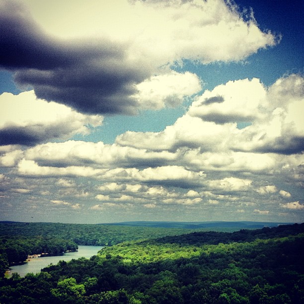
View from the top.
20090705-K10D-8540_2000px

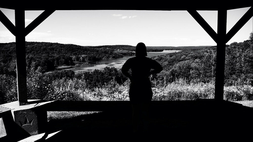
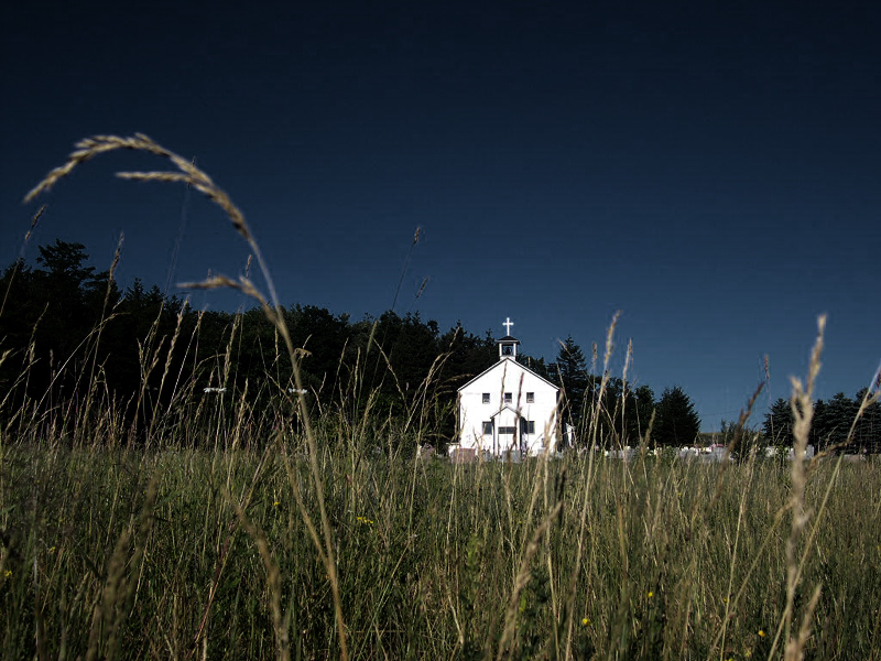
view from the pew
Side Road
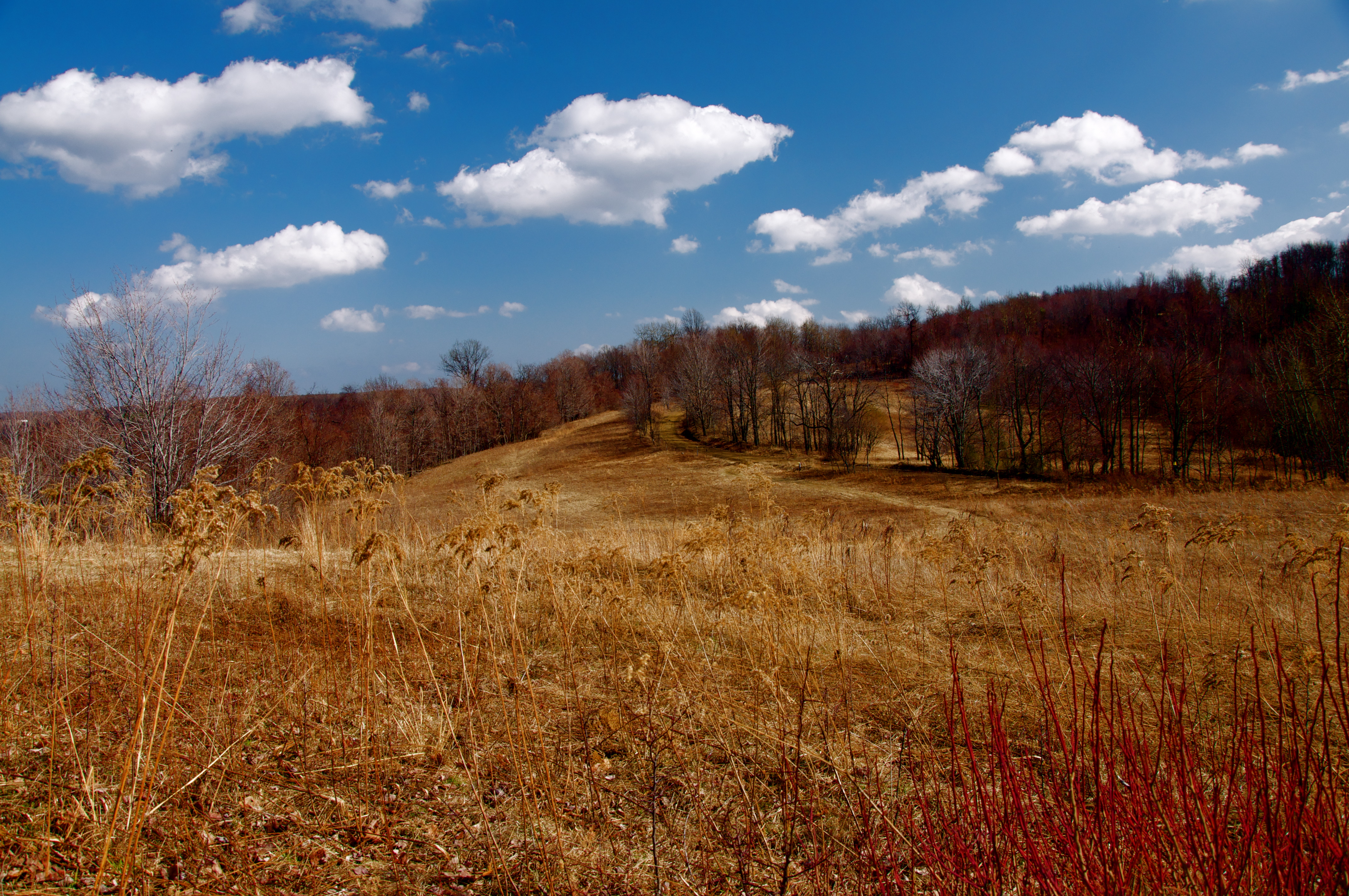
Mud Lick Overlook

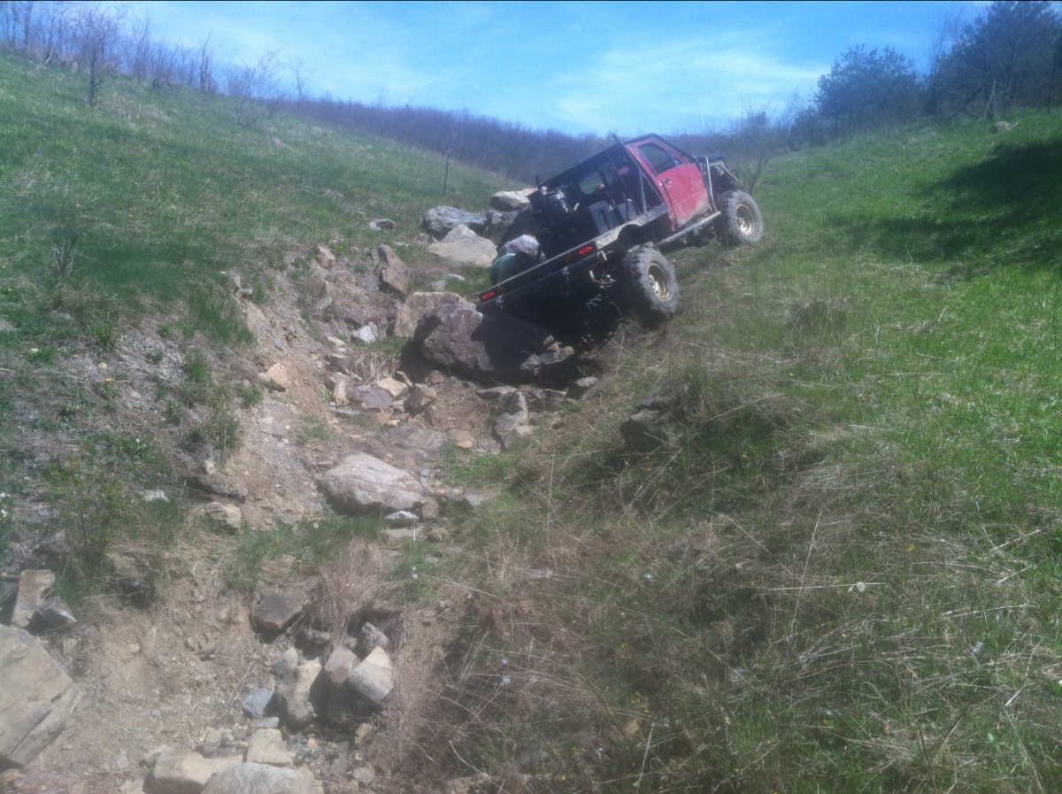
Super Nova

homeland cross cut

DSC_7929-1
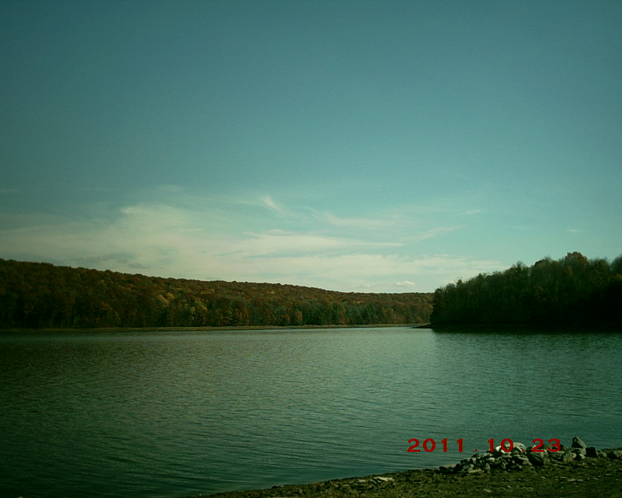
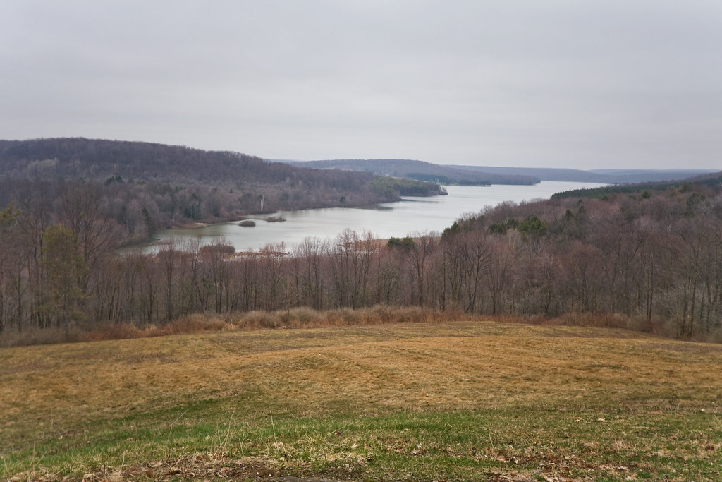
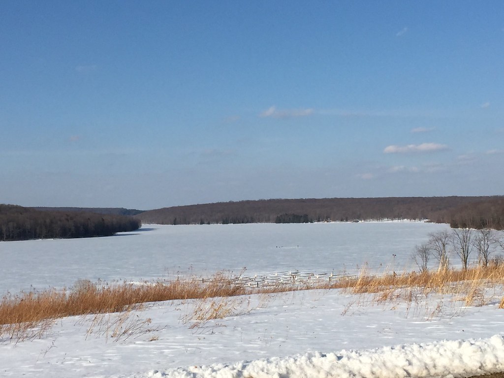
Glendale Lake, Prince Gallitzin State Park
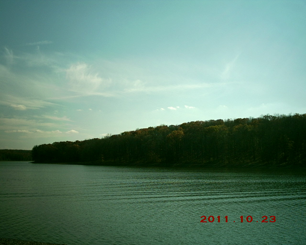
Glendale Lake, Prince Gallitzin State Park
St. Joseph's Distance
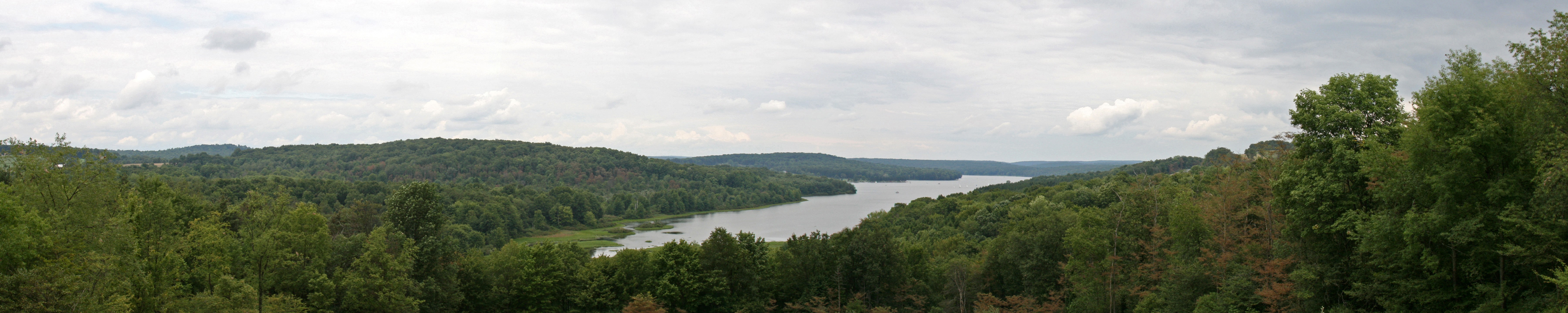
Prince Gallitzin Panorama 2
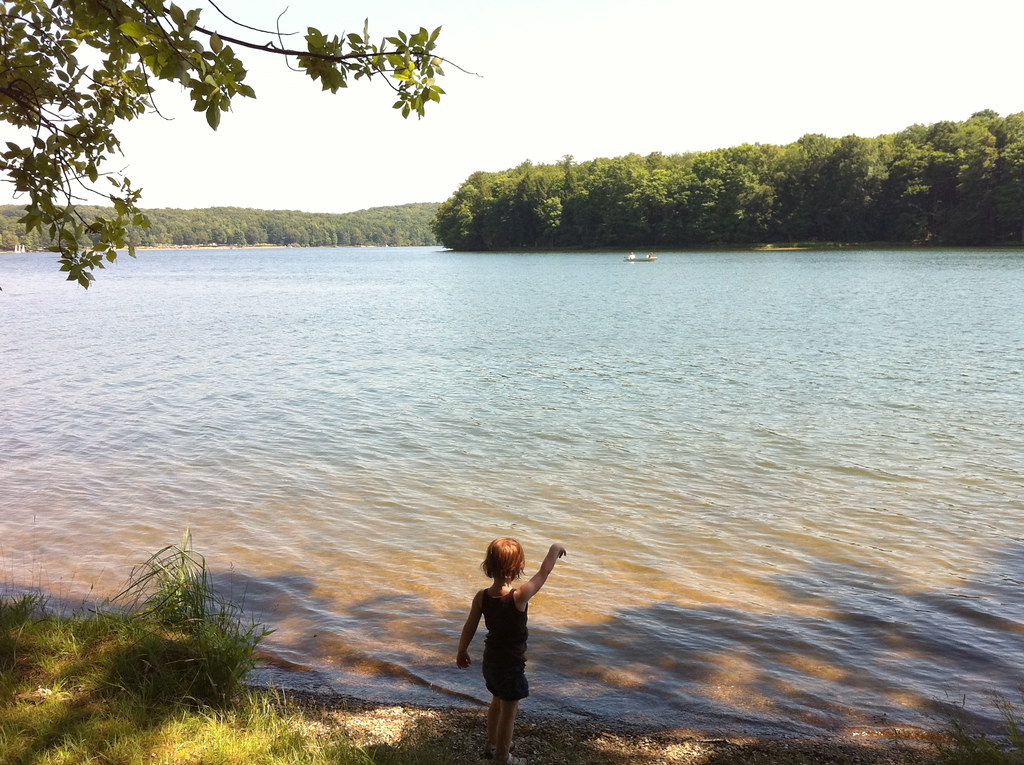
Throwing a Stone
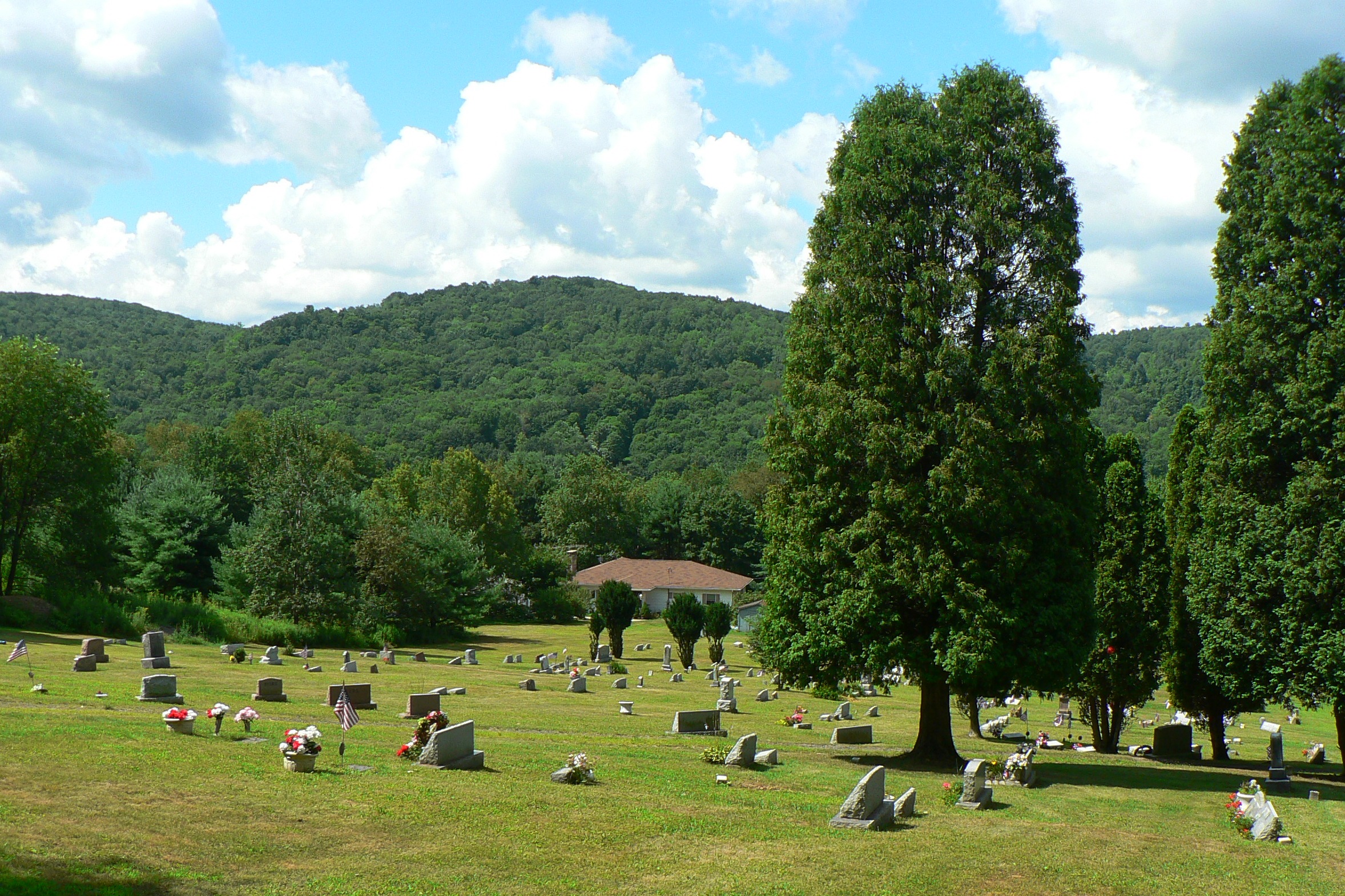
mahaffey graveyard
Prince Gallitzin State Park
IMG_1233.JPG
Topographic Map of Michael Ln, La Jose, PA, USA
Find elevation by address:

Places near Michael Ln, La Jose, PA, USA:
Westover
Westover
Westover
Westover
Westover
Westover
Westover
5501 Main St
Elder Township
Rock Run Recreation Area
Saint Boniface
Hastings
131 Lark Lane
Kibler Lake Road
Magee Ave, Patton, PA, USA
Patton
155 Troxell Springs Rd
21 Jackson St
Sr, Coalport, PA, USA
Coalport
Recent Searches:
- Elevation of Corso Fratelli Cairoli, 35, Macerata MC, Italy
- Elevation of Tallevast Rd, Sarasota, FL, USA
- Elevation of 4th St E, Sonoma, CA, USA
- Elevation of Black Hollow Rd, Pennsdale, PA, USA
- Elevation of Oakland Ave, Williamsport, PA, USA
- Elevation of Pedrógão Grande, Portugal
- Elevation of Klee Dr, Martinsburg, WV, USA
- Elevation of Via Roma, Pieranica CR, Italy
- Elevation of Tavkvetili Mountain, Georgia
- Elevation of Hartfords Bluff Cir, Mt Pleasant, SC, USA