Elevation of Merritt Mill Rd, Salisbury, MD, USA
Location: United States > Maryland > Wicomico County > 5, Parsons > Salisbury >
Longitude: -75.546815
Latitude: 38.367971
Elevation: 13m / 43feet
Barometric Pressure: 101KPa
Elevation Map:
Satellite Map:
Related Photos:

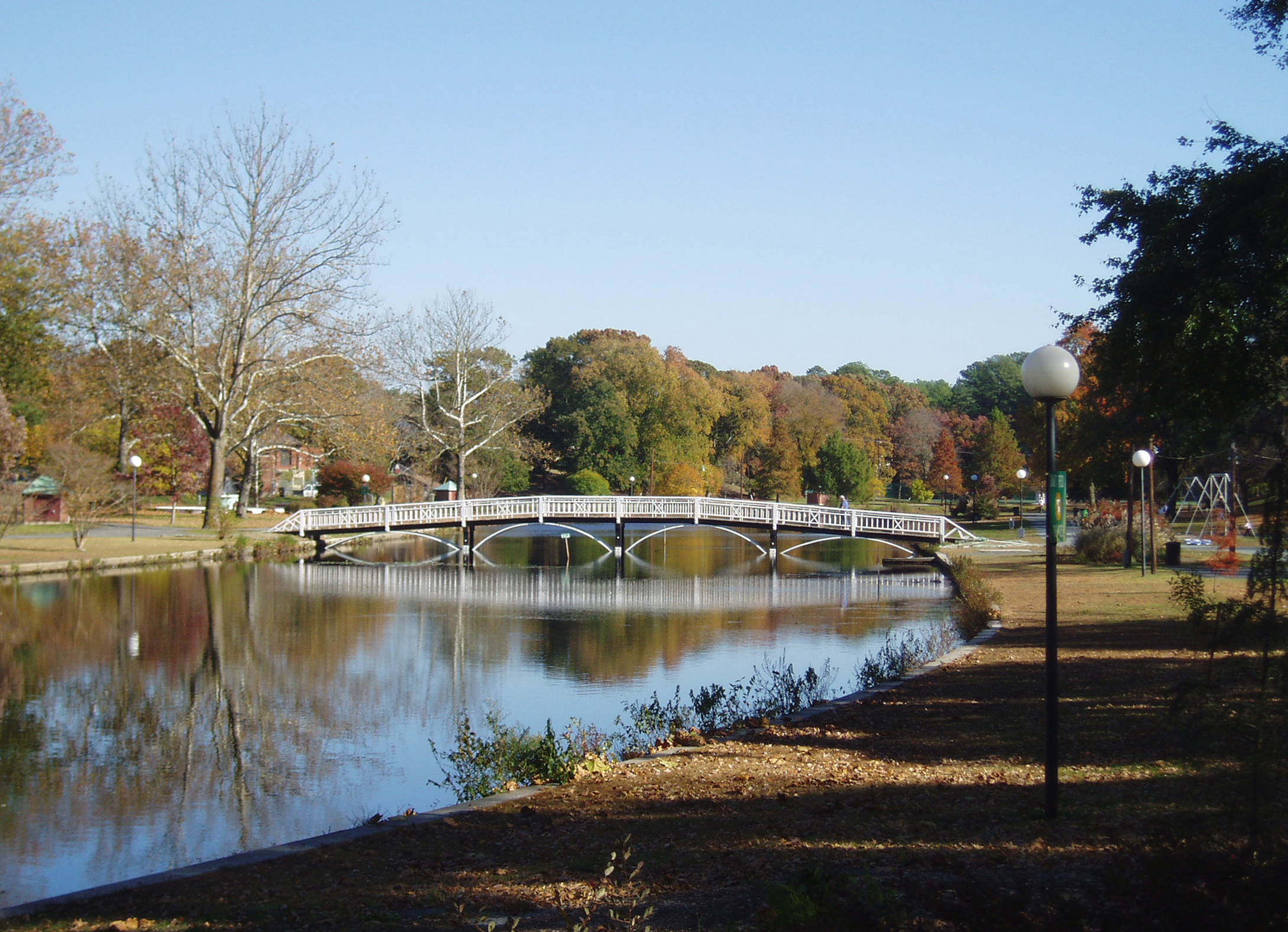
Salisbury City Park
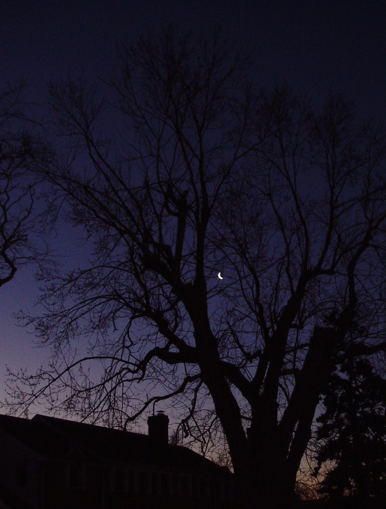
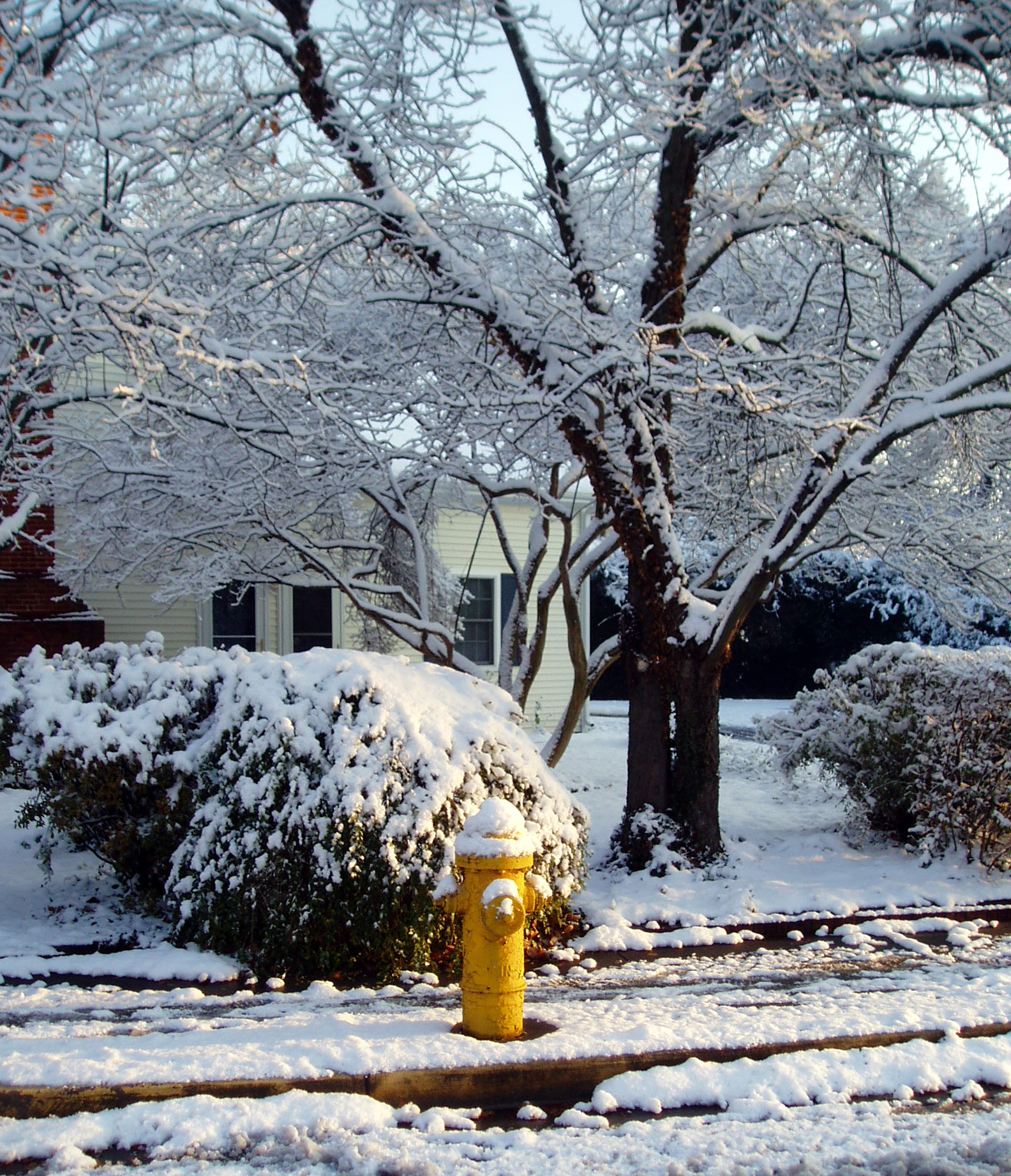
The Blueblack Cold

Wicomico River, East Prong

Only God can make a tree
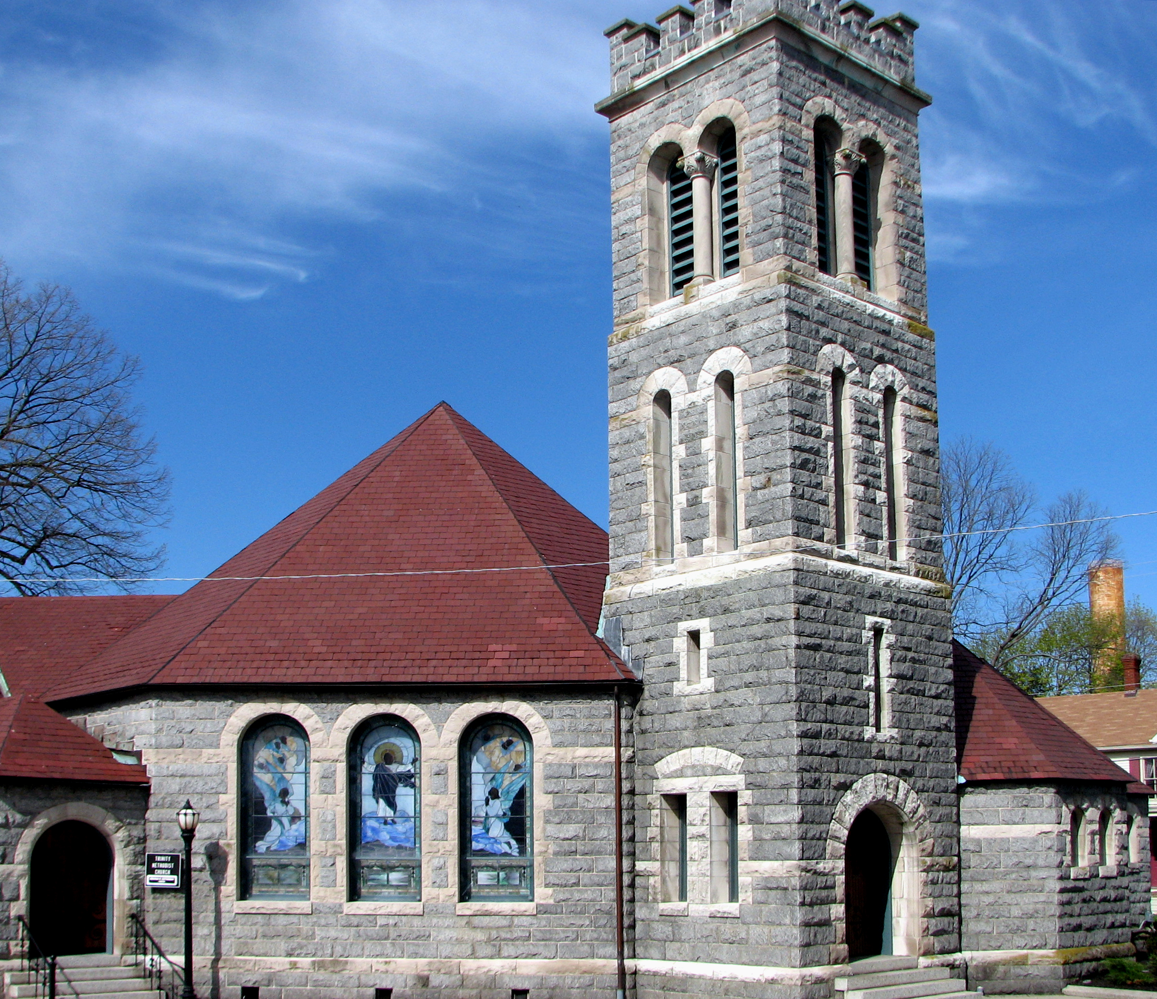
Trinity U.M. Church, Salisbury, Maryland
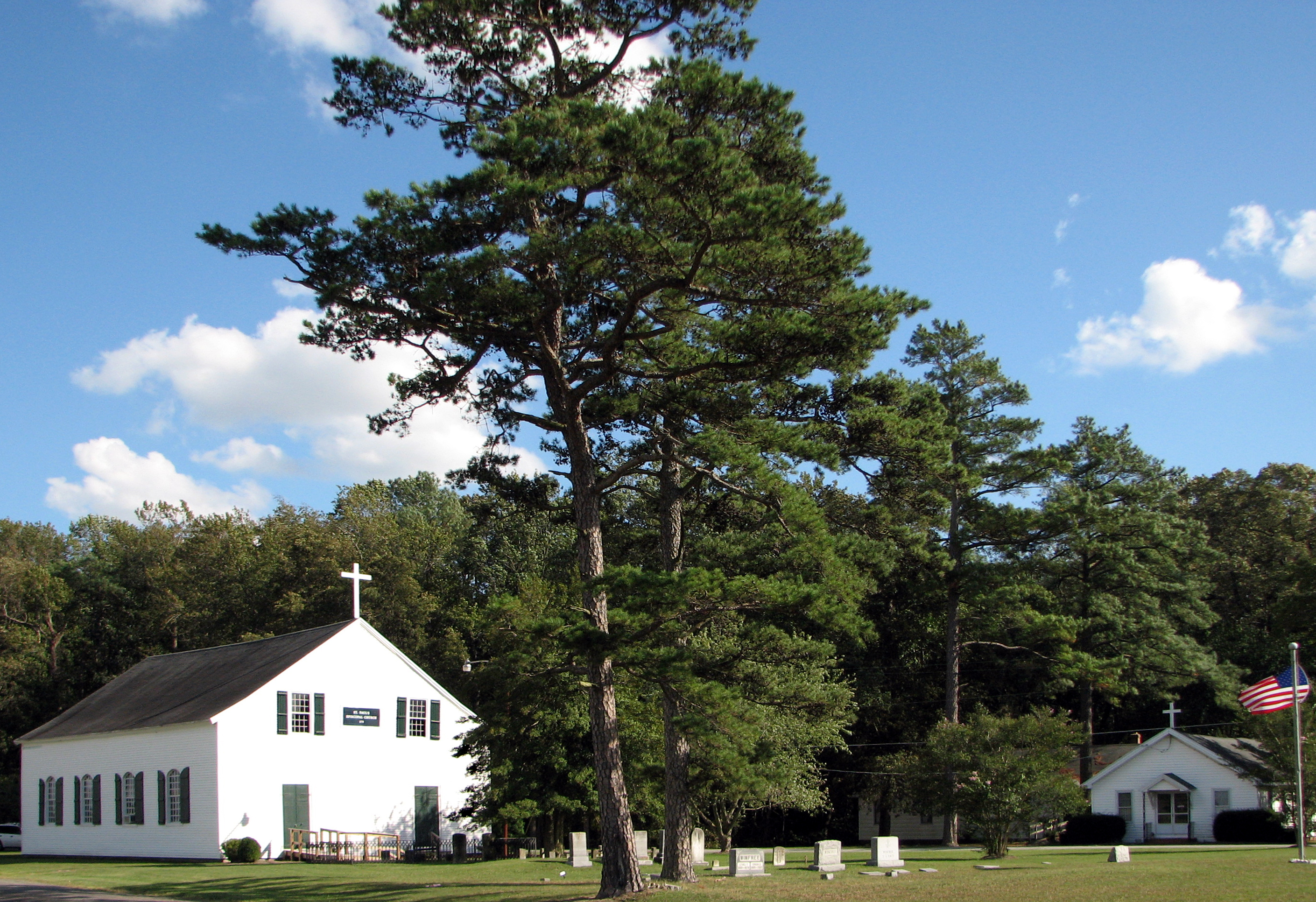
St. Paul's Episcopal Church, "Old Spring Hill"

Holloway Hall
Glory be to God for dappled things
Highway 54, the Line Road
Foggy dawn, Camden Ave., Salisbury
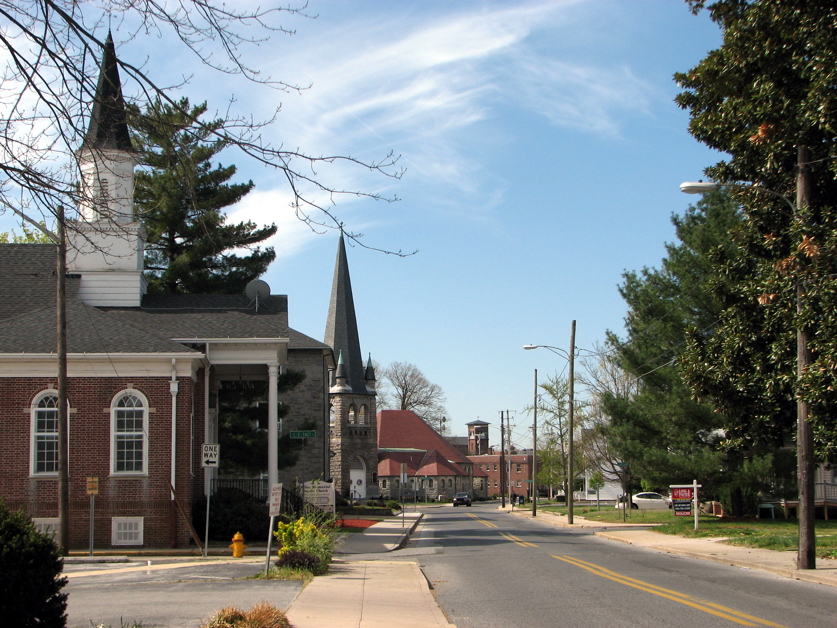
North Division Street, Salisbury, Maryland
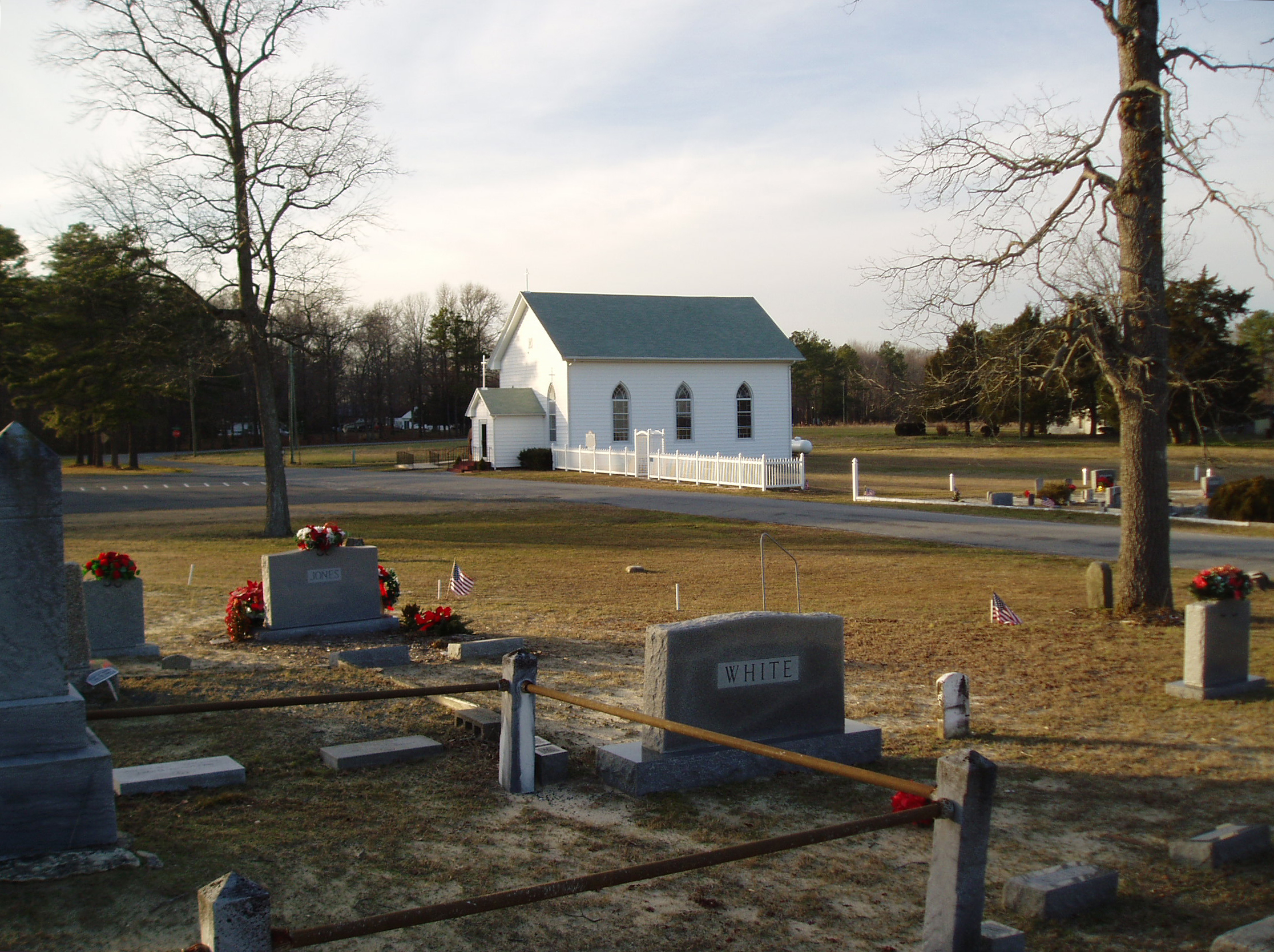
Line U.M. Church
Salisbury City Park

Faith Community Church, Salisbury, Maryland

School daze
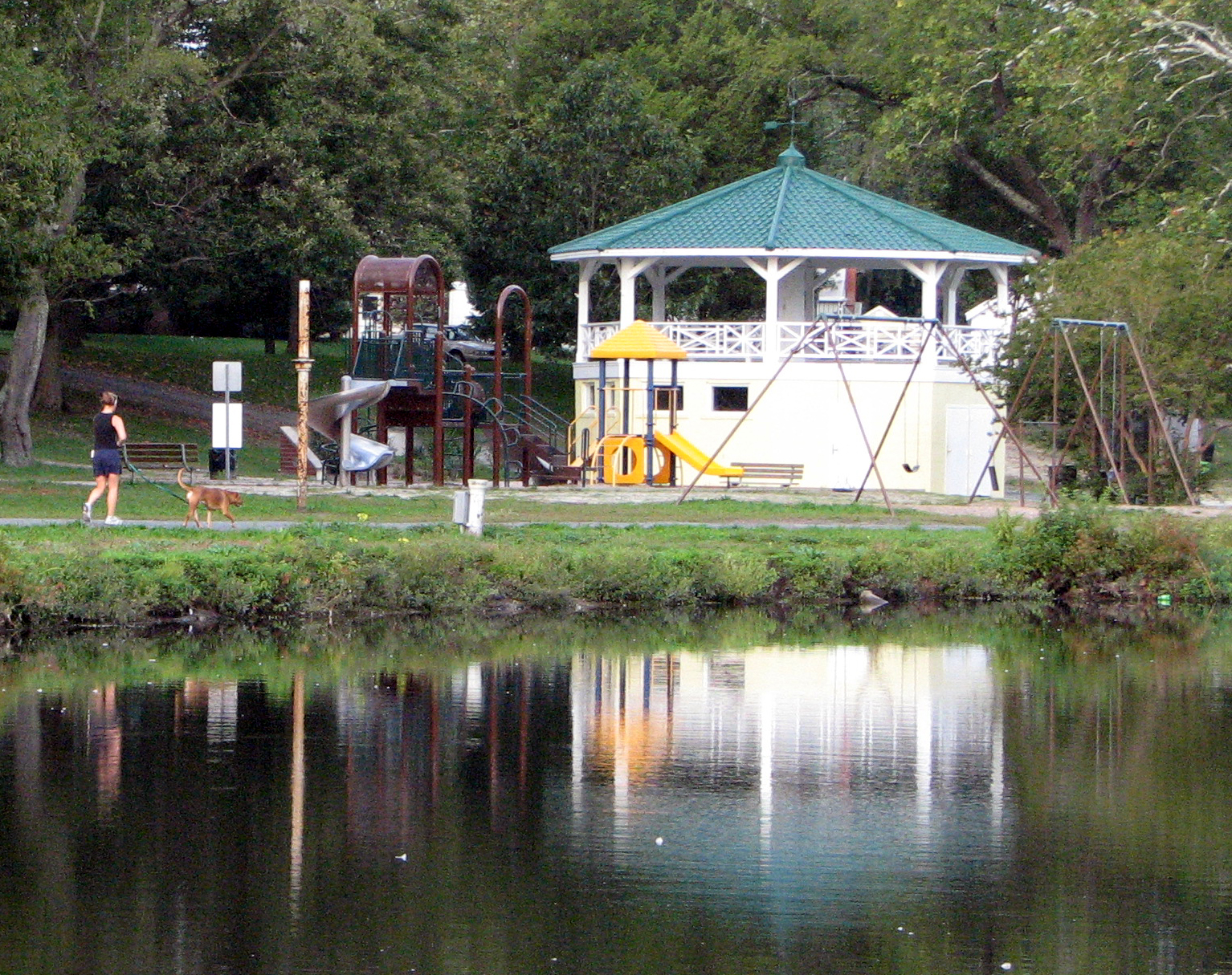
Bandstand and Playground
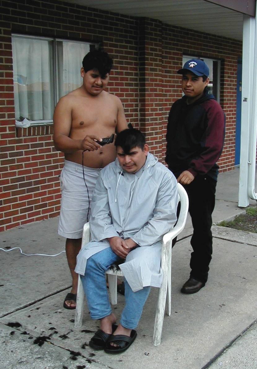
Improvised Barber Shop
Faithful sentinel

Fishing Lesson
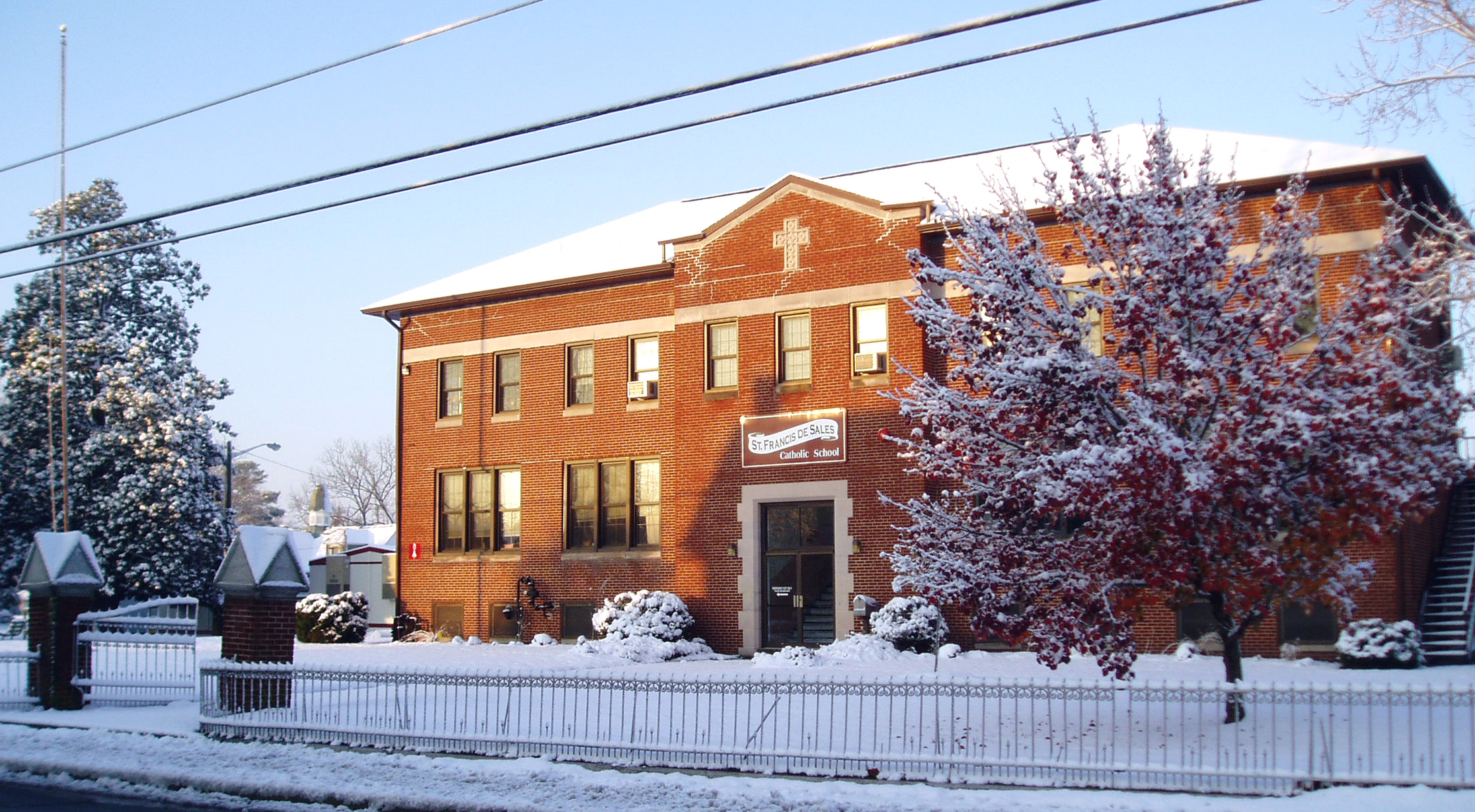
St. Francis de Sales Catholic School
Camden Avenue, Salisbury, Maryland

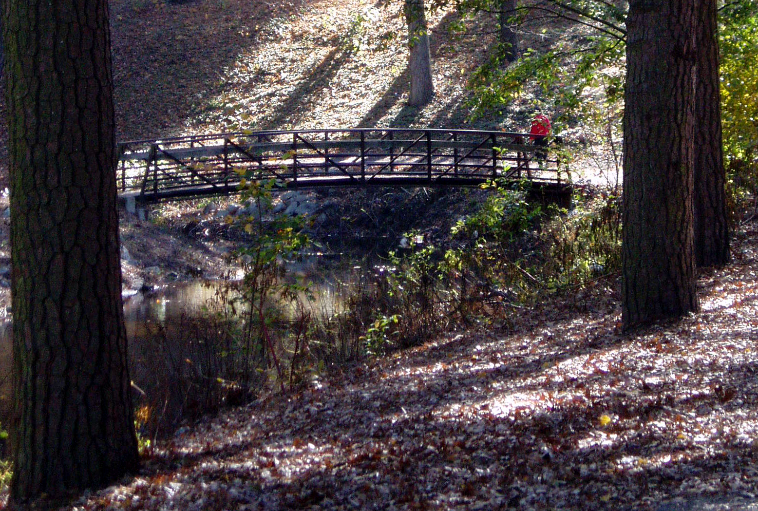
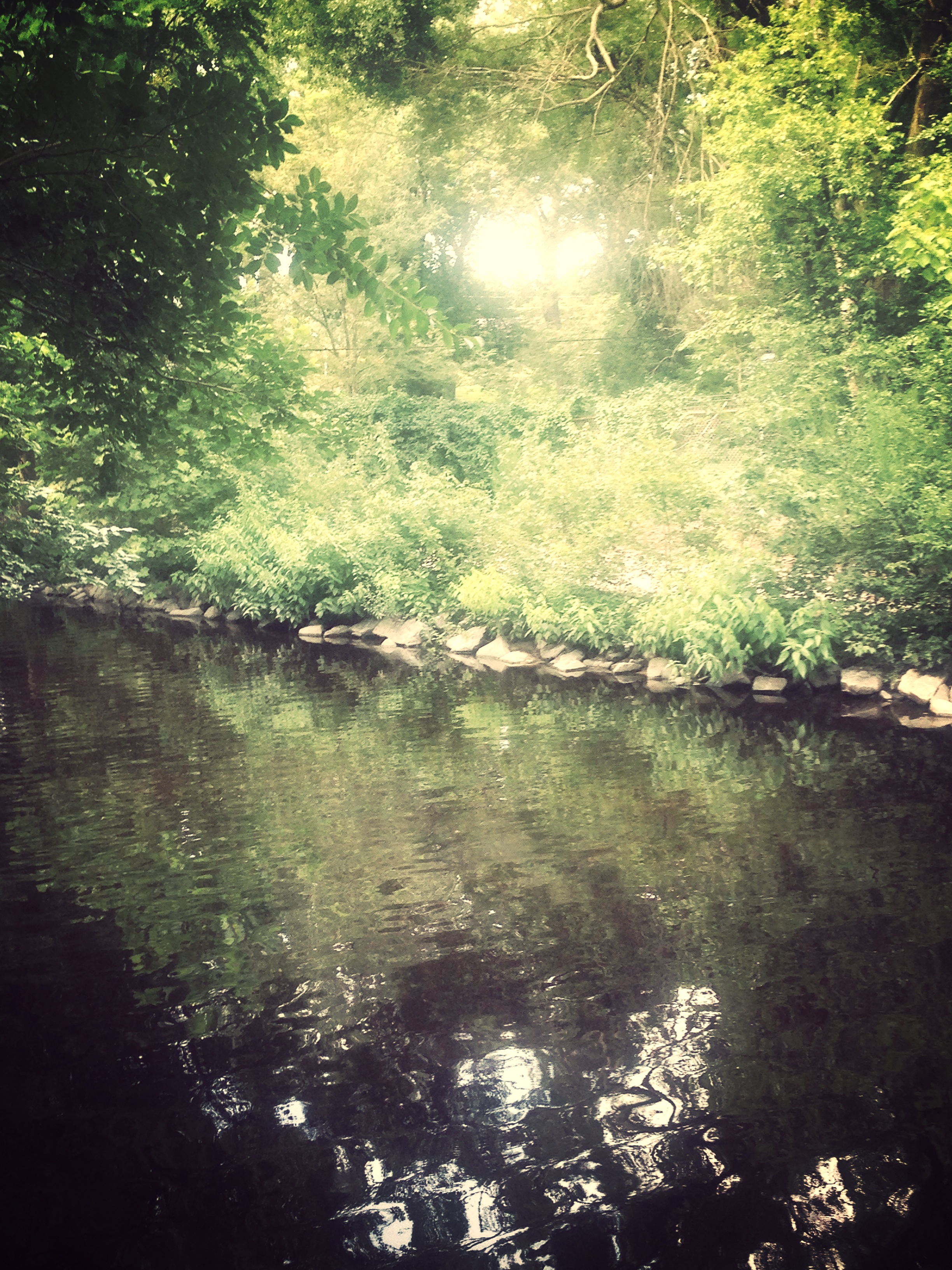
Stream view from a footbridge
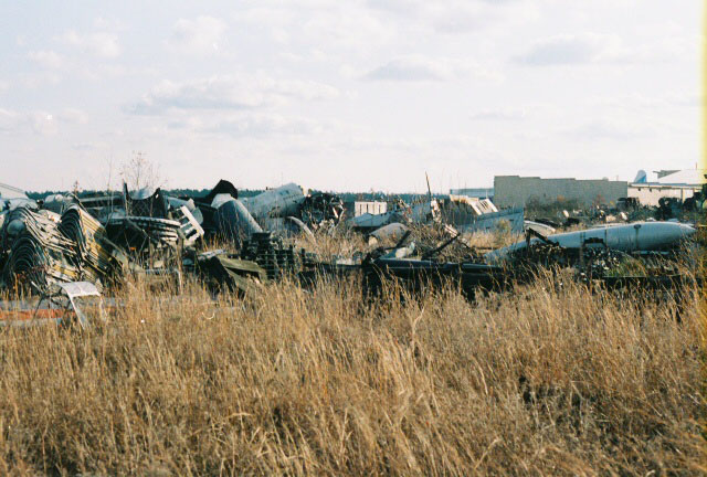
AT-6 Texan Boneyard
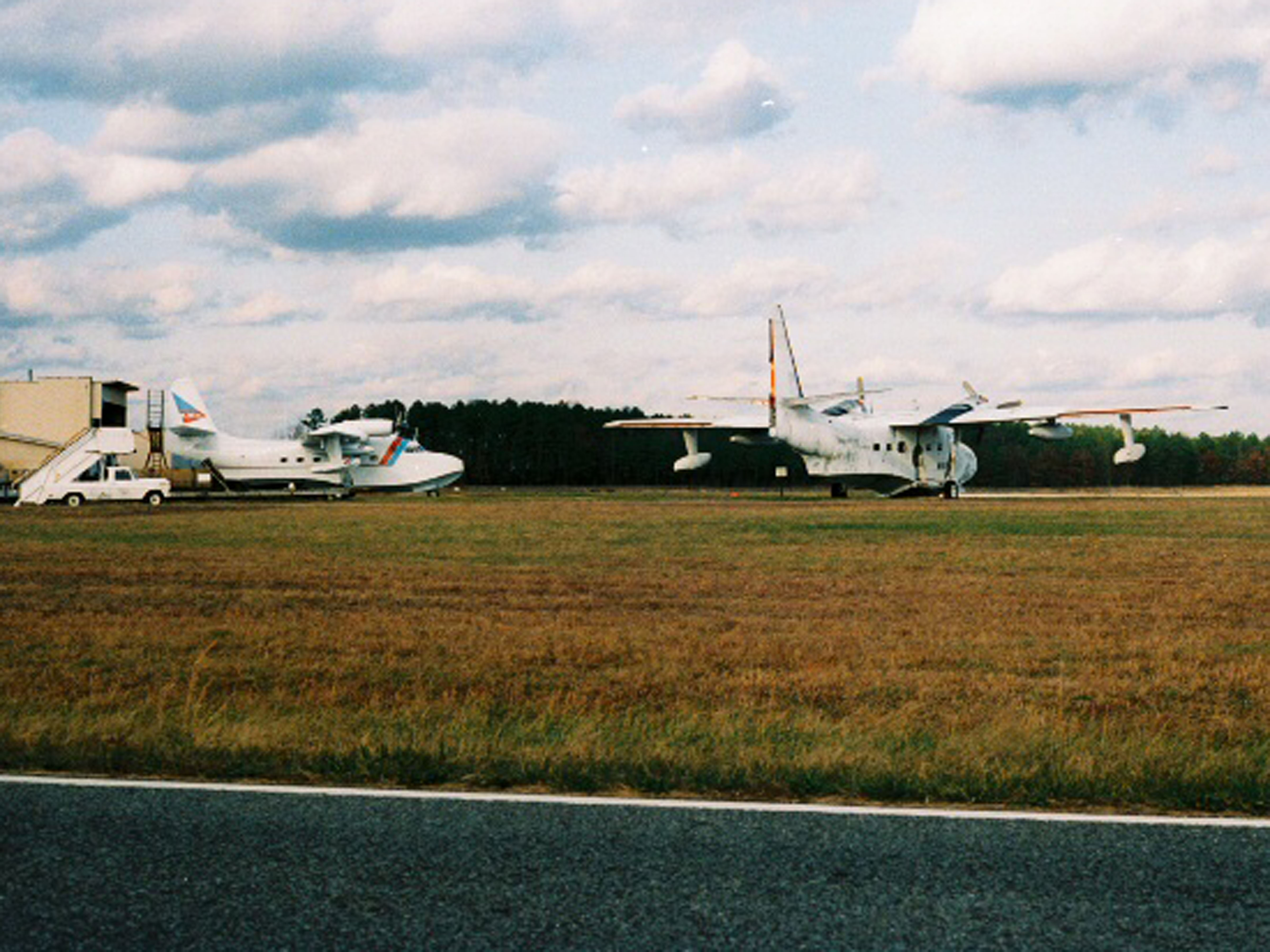
Salisbury-Wicomico County Airport Maryland.
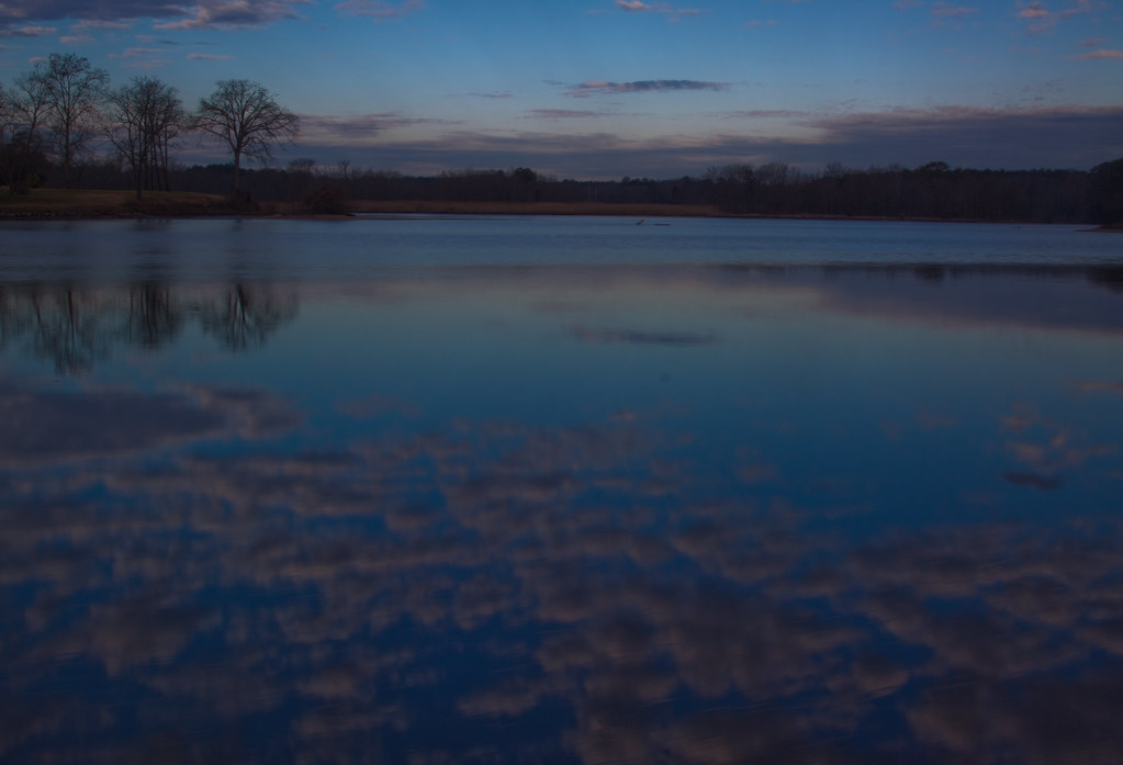
dawn reflected

On Peggy's Farm

Sunset in Salisbury,MD
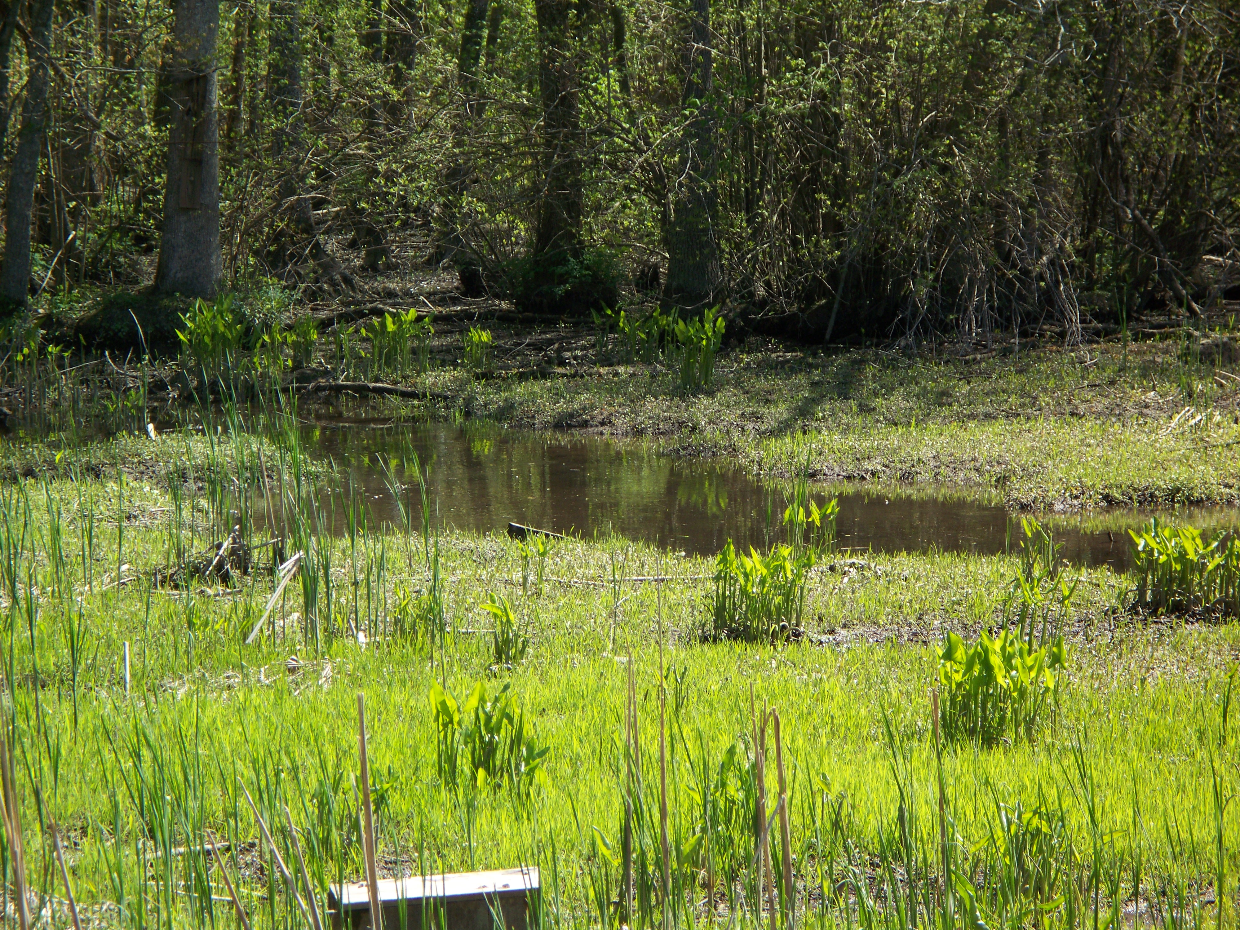
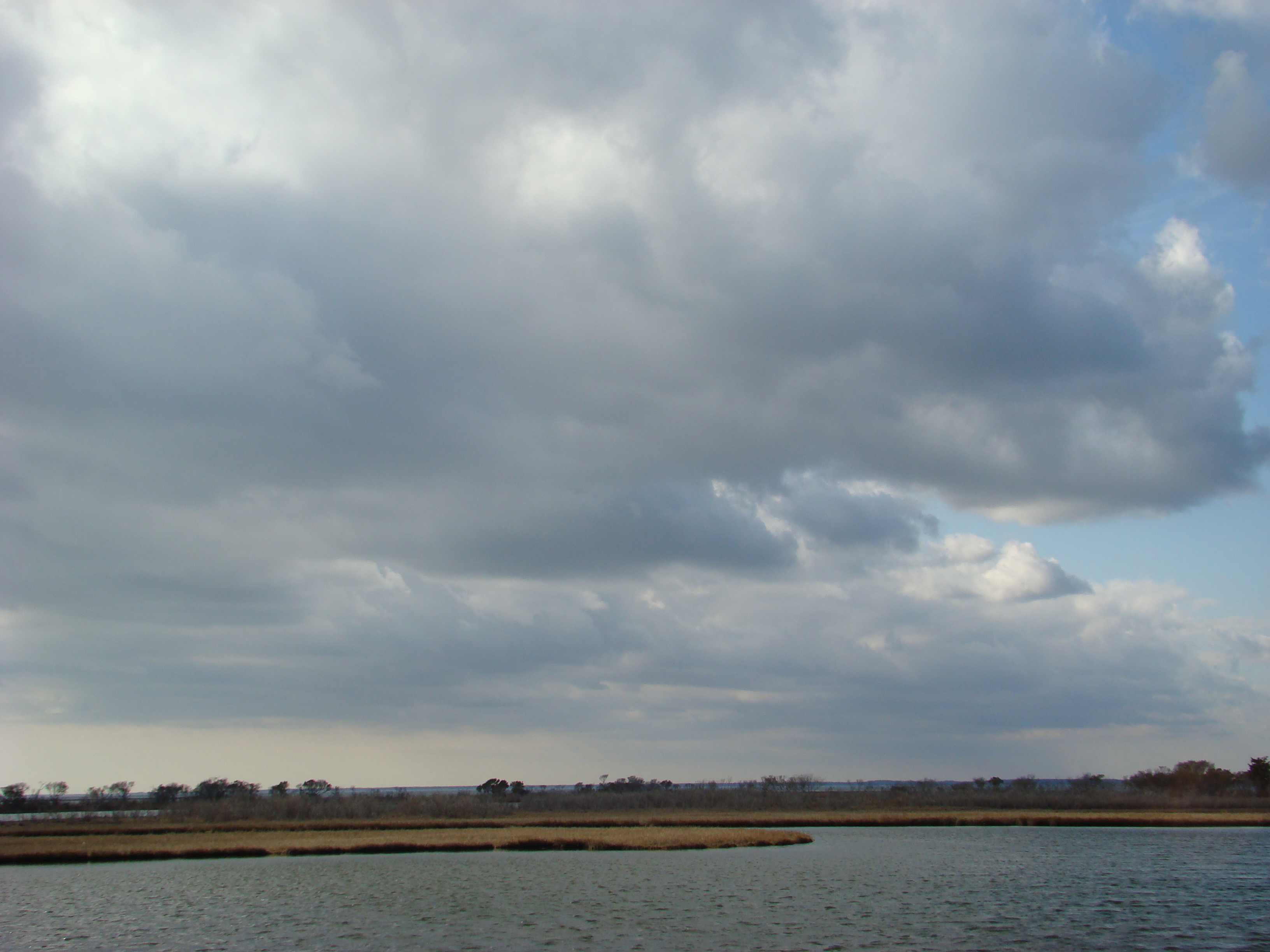
Marsh at Pemberton Historic Park

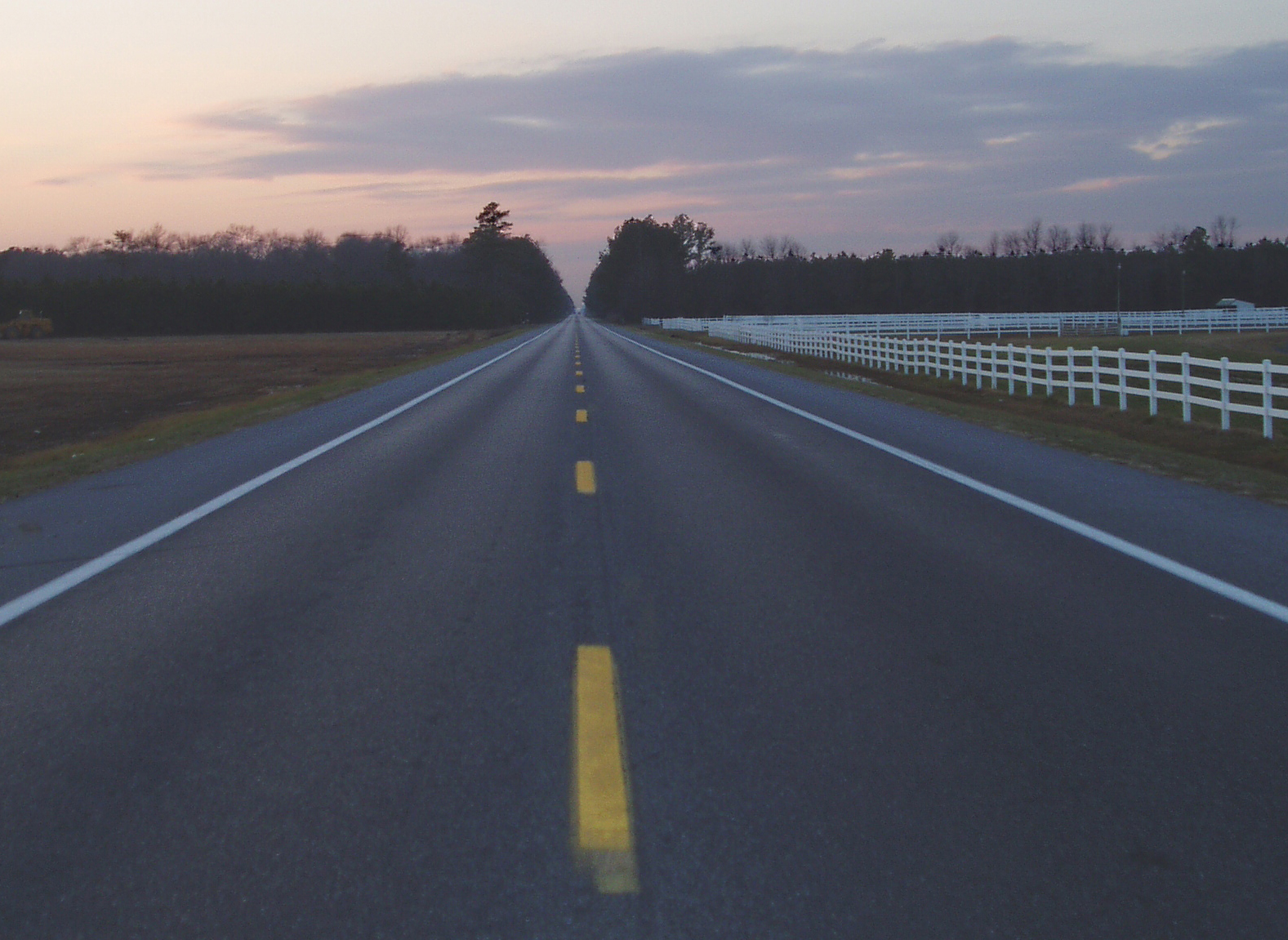
Country Road
Today's trip to the zoo!! So much fun :)
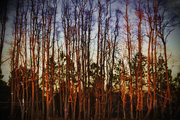
Stand of Trees

Salisbury Maryland

colorado horses

National Aquarium Stream Challenge
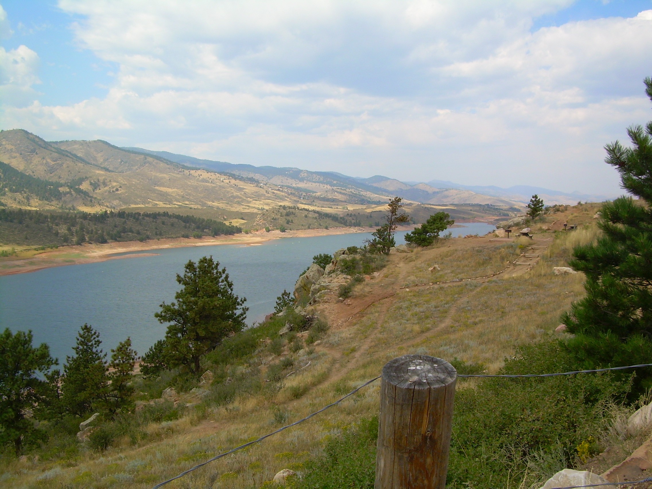
colorado scenery 2

Assateague Horse and Landscape
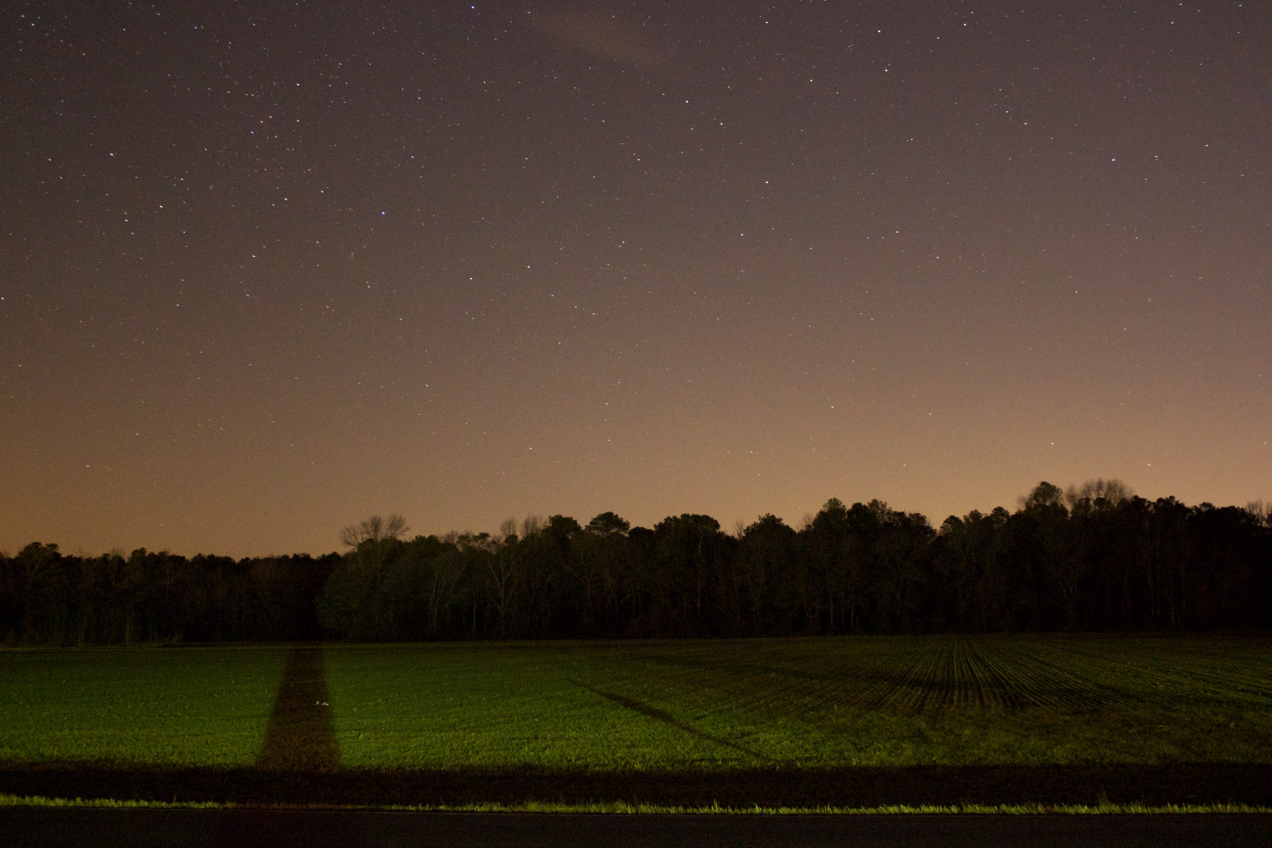
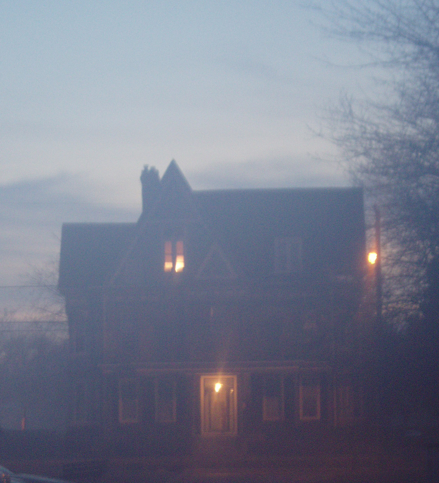
Field at Night

Site 9. Mitchel Pond
Assateague Landscape
Topographic Map of Merritt Mill Rd, Salisbury, MD, USA
Find elevation by address:

Places near Merritt Mill Rd, Salisbury, MD, USA:
2001 Whispering Ponds Court
109 Pacific Ave
South Kaywood Drive
Ardmore Terrace, Salisbury, MD, USA
6933 Sandy Ridge Ct
Bowman Dr, Salisbury, MD, USA
Louise Avenue
Edwards Ave, Salisbury, MD, USA
5597 Mt Hermon Church Rd
1006 Schumaker Woods Rd
410 Deborah Dr
Loch Raven Rd, Salisbury, MD, USA
Zion Rd, Salisbury, MD, USA
Salisbury City Dog Park
Cherry Way
Grenada Dr, Salisbury, MD, USA
Priscilla Street
420 Lindenhurst Ct
31775 Old Ocean City Rd
Morris Leonard Rd, Parsonsburg, MD, USA
Recent Searches:
- Elevation of Congressional Dr, Stevensville, MD, USA
- Elevation of Bellview Rd, McLean, VA, USA
- Elevation of Stage Island Rd, Chatham, MA, USA
- Elevation of Shibuya Scramble Crossing, 21 Udagawacho, Shibuya City, Tokyo -, Japan
- Elevation of Jadagoniai, Kaunas District Municipality, Lithuania
- Elevation of Pagonija rock, Kranto 7-oji g. 8"N, Kaunas, Lithuania
- Elevation of Co Rd 87, Jamestown, CO, USA
- Elevation of Tenjo, Cundinamarca, Colombia
- Elevation of Côte-des-Neiges, Montreal, QC H4A 3J6, Canada
- Elevation of Bobcat Dr, Helena, MT, USA