Elevation of Edwards Ave, Salisbury, MD, USA
Location: United States > Maryland > Wicomico County > 5, Parsons > Salisbury >
Longitude: -75.527167
Latitude: 38.378692
Elevation: 13m / 43feet
Barometric Pressure: 101KPa
Elevation Map:
Satellite Map:
Related Photos:

Park Foliage

Park IR
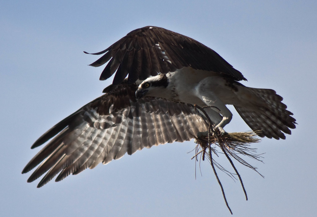
Nest Building: 101

The Path To The Infrarealm
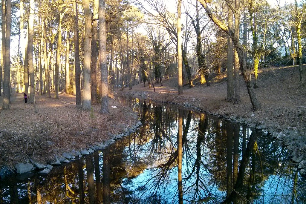
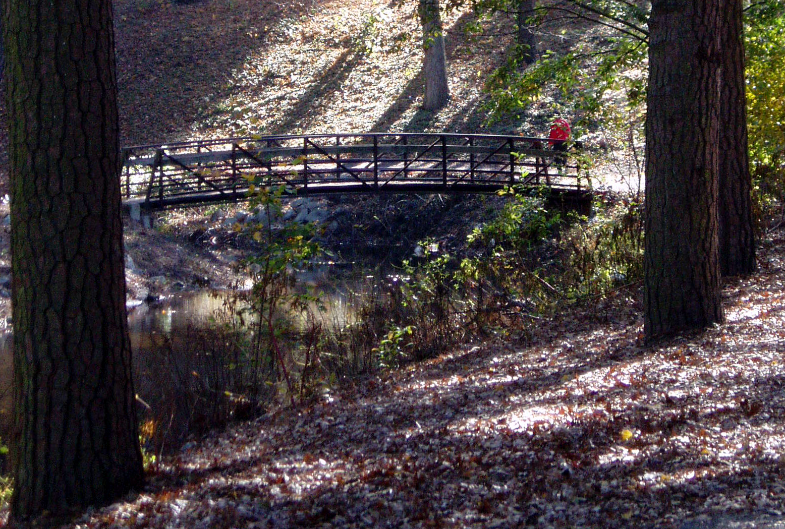
Stream view from a footbridge

bw version
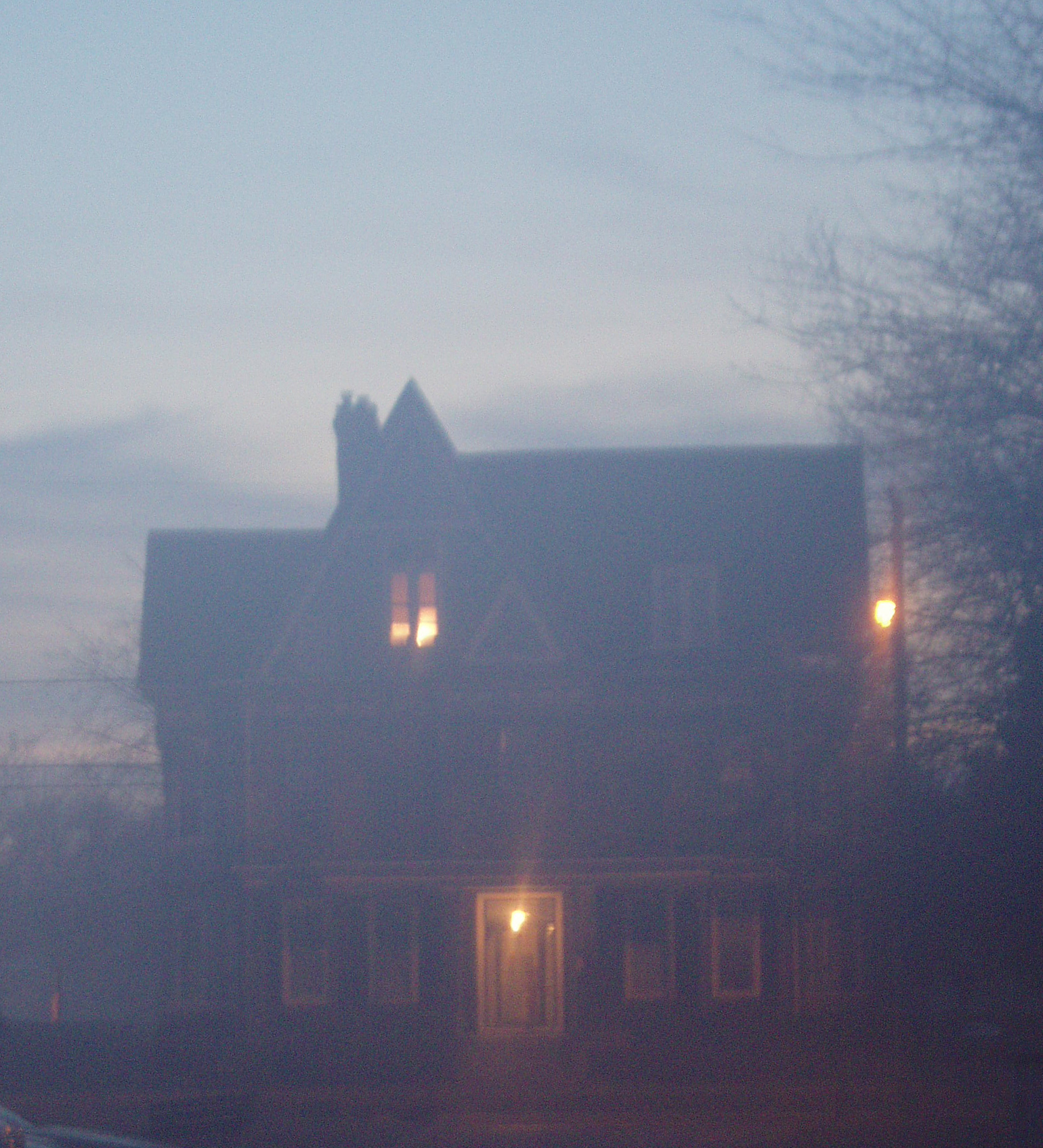
Foggy dawn, Camden Ave., Salisbury
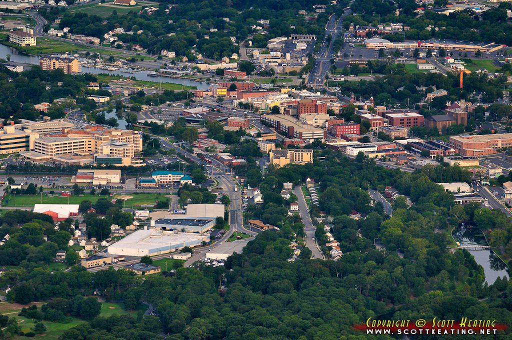
Salisbury, MD

The Blueblack Cold
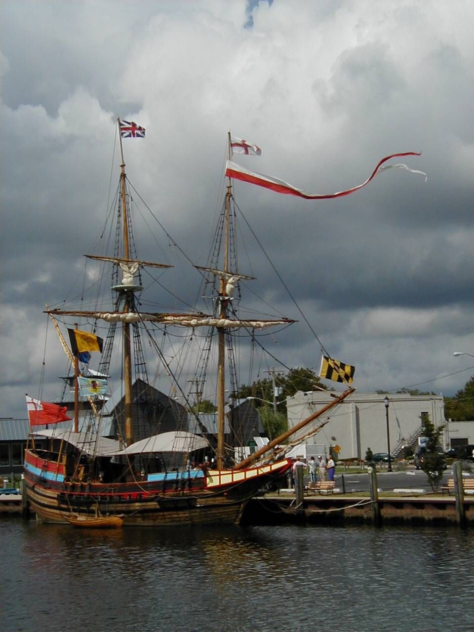
The Maryland Dove

Almost B&W
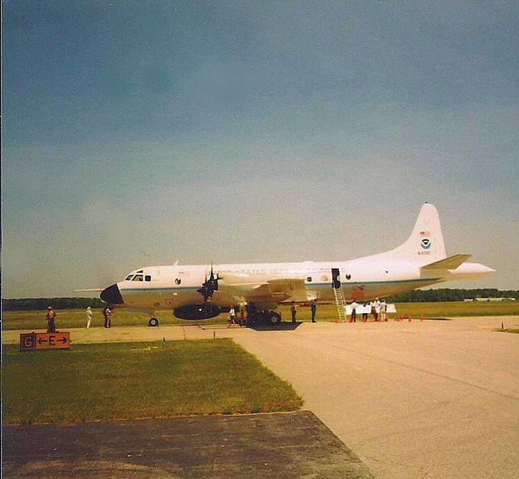
NOAA Hurricane Hunter Airplane

Only God can make a tree

Stream view from a footbridge
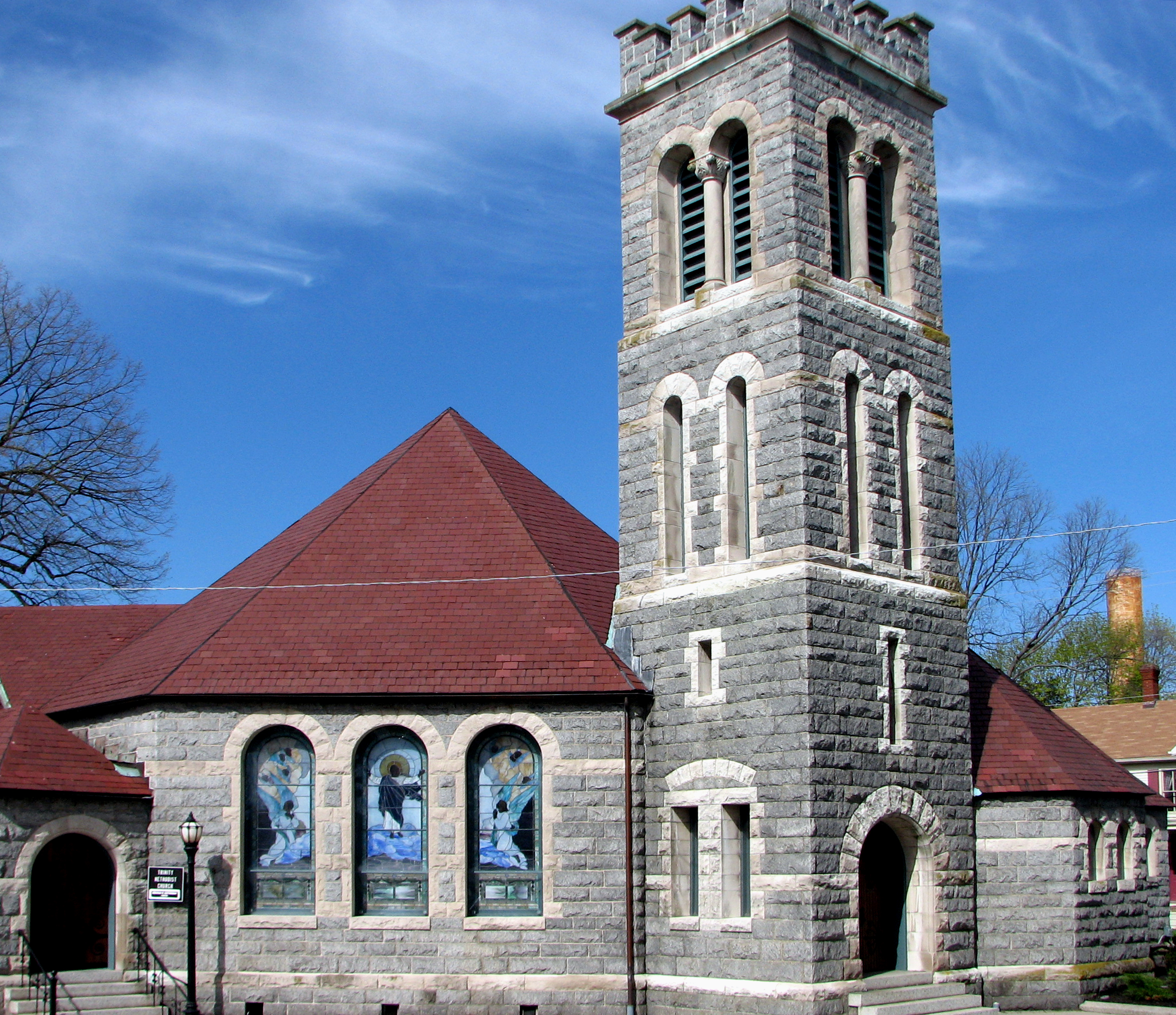
Trinity U.M. Church, Salisbury, Maryland
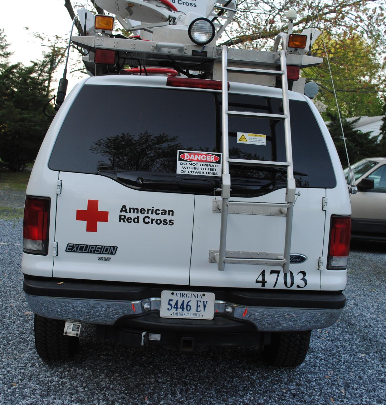
Emergency Communications Response Vehicle (ECRV) 4703

Holloway Hall
Glory be to God for dappled things
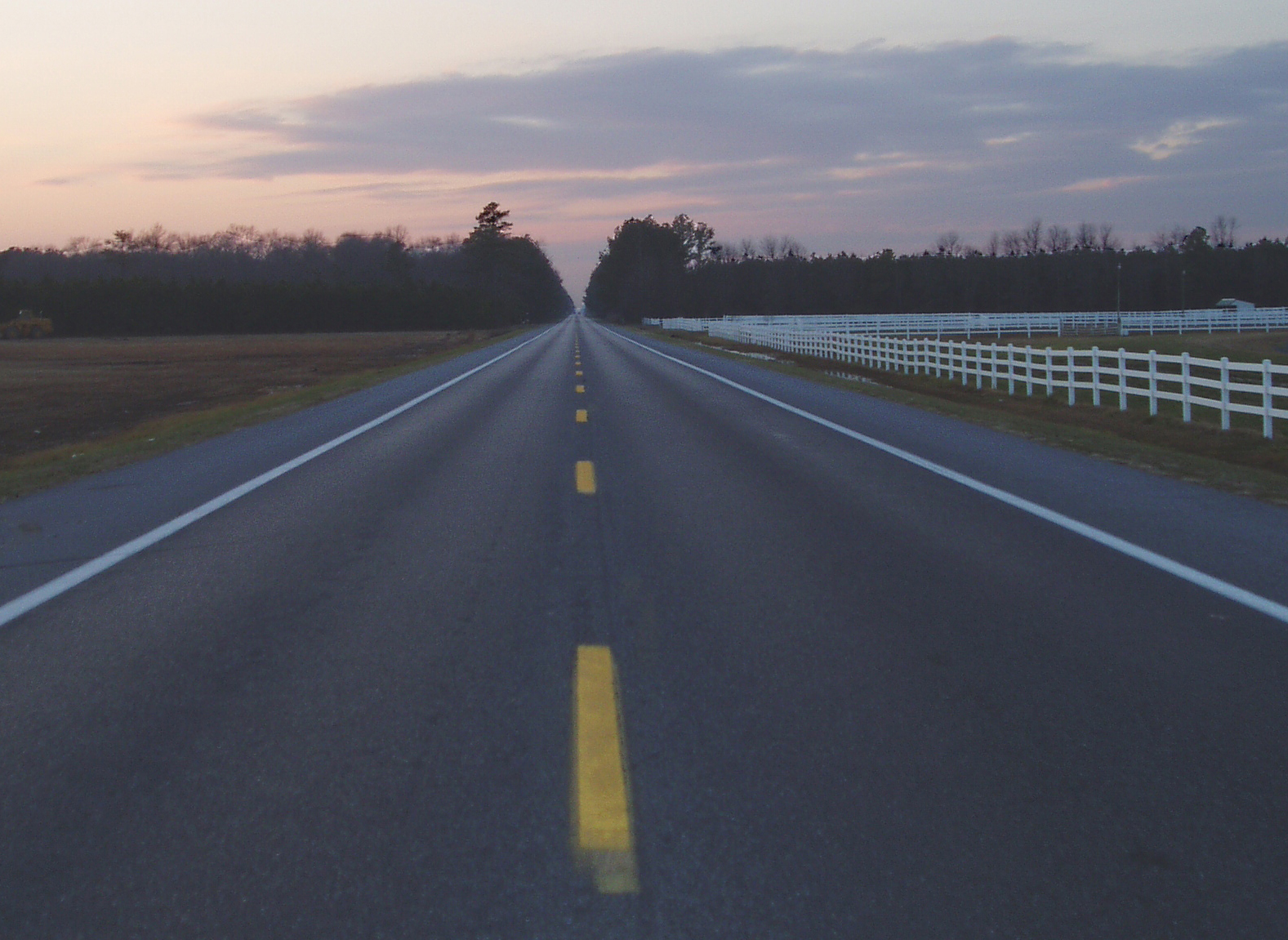
Highway 54, the Line Road

Swallow Reflection
Behind the Right Field Scoreboard at Arthur W. Perdue Stadium -- Salisbury, MD, May 25, 2014

Wicomico River, East Prong
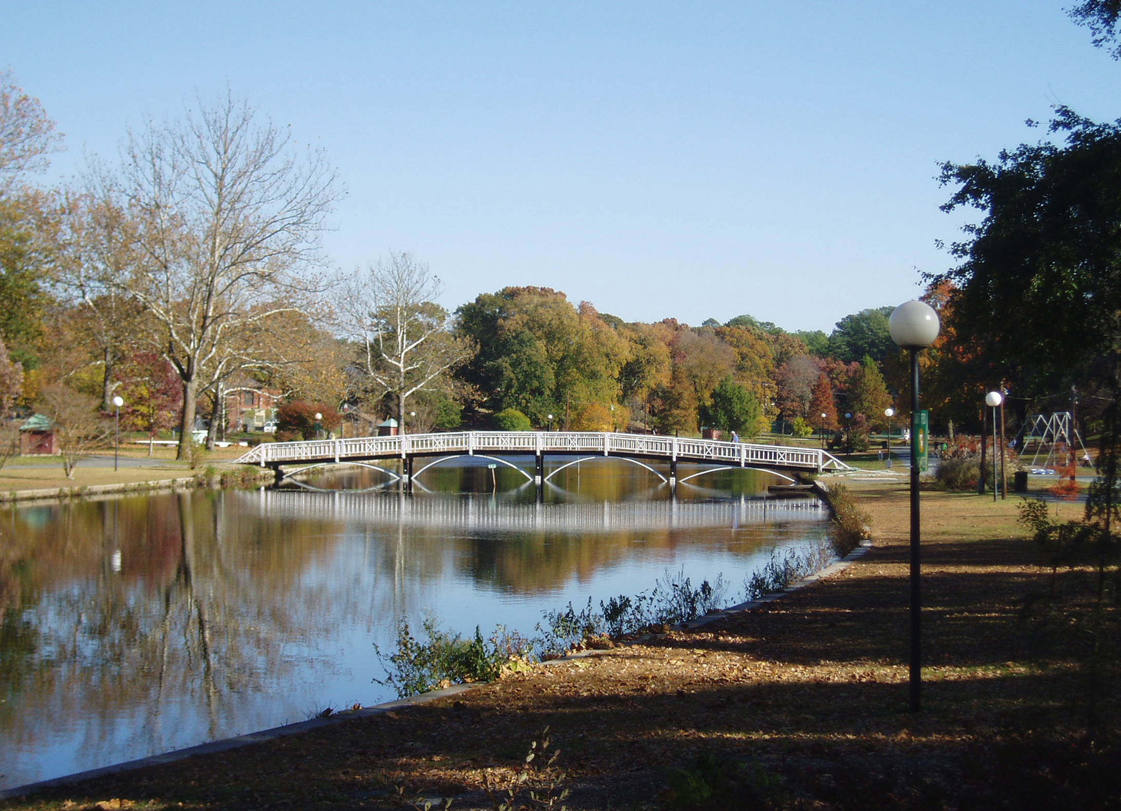
Salisbury City Park

On Peggy's Farm
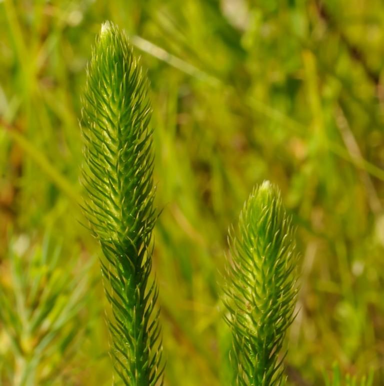
Bog Lycopodium
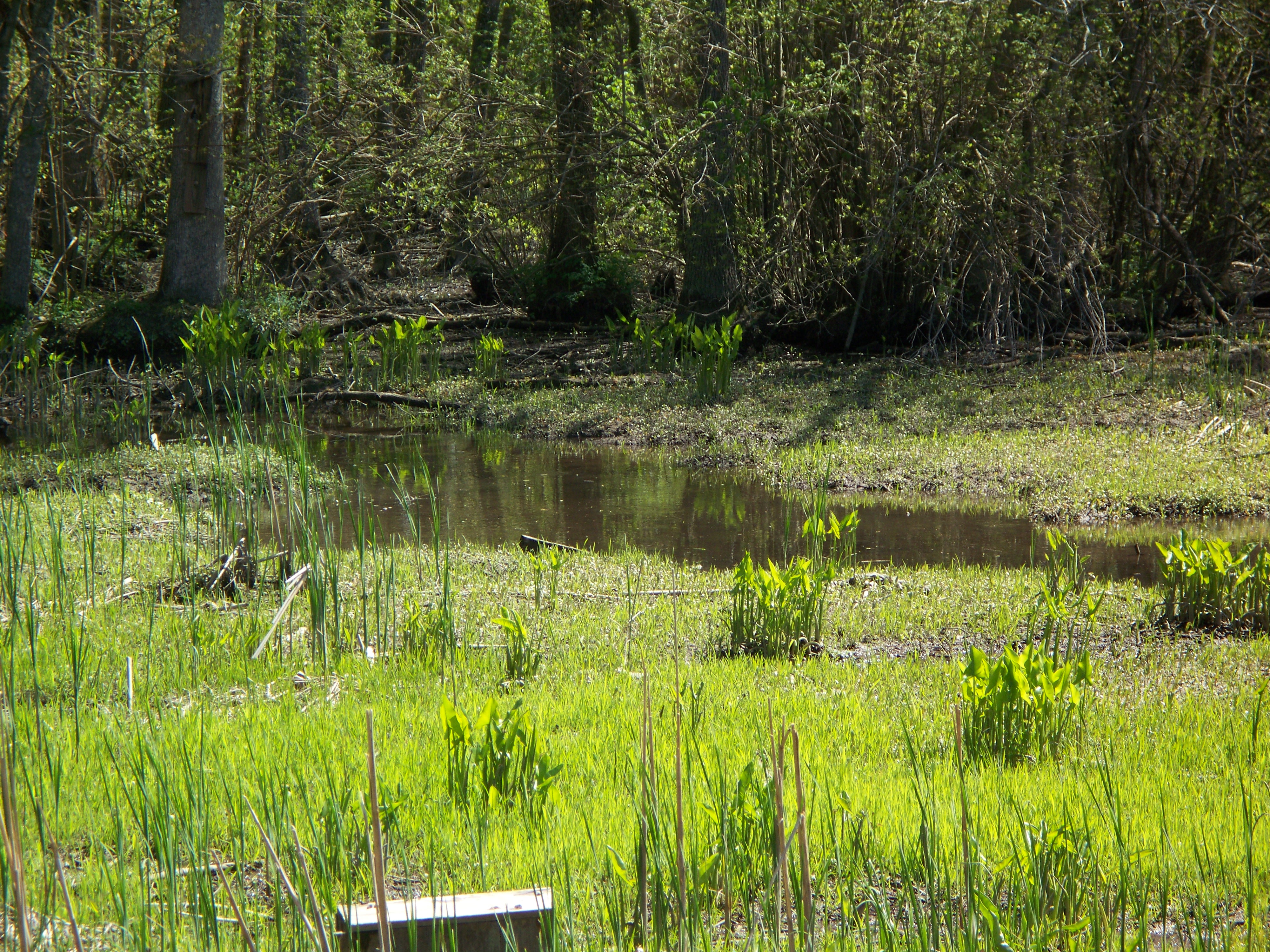
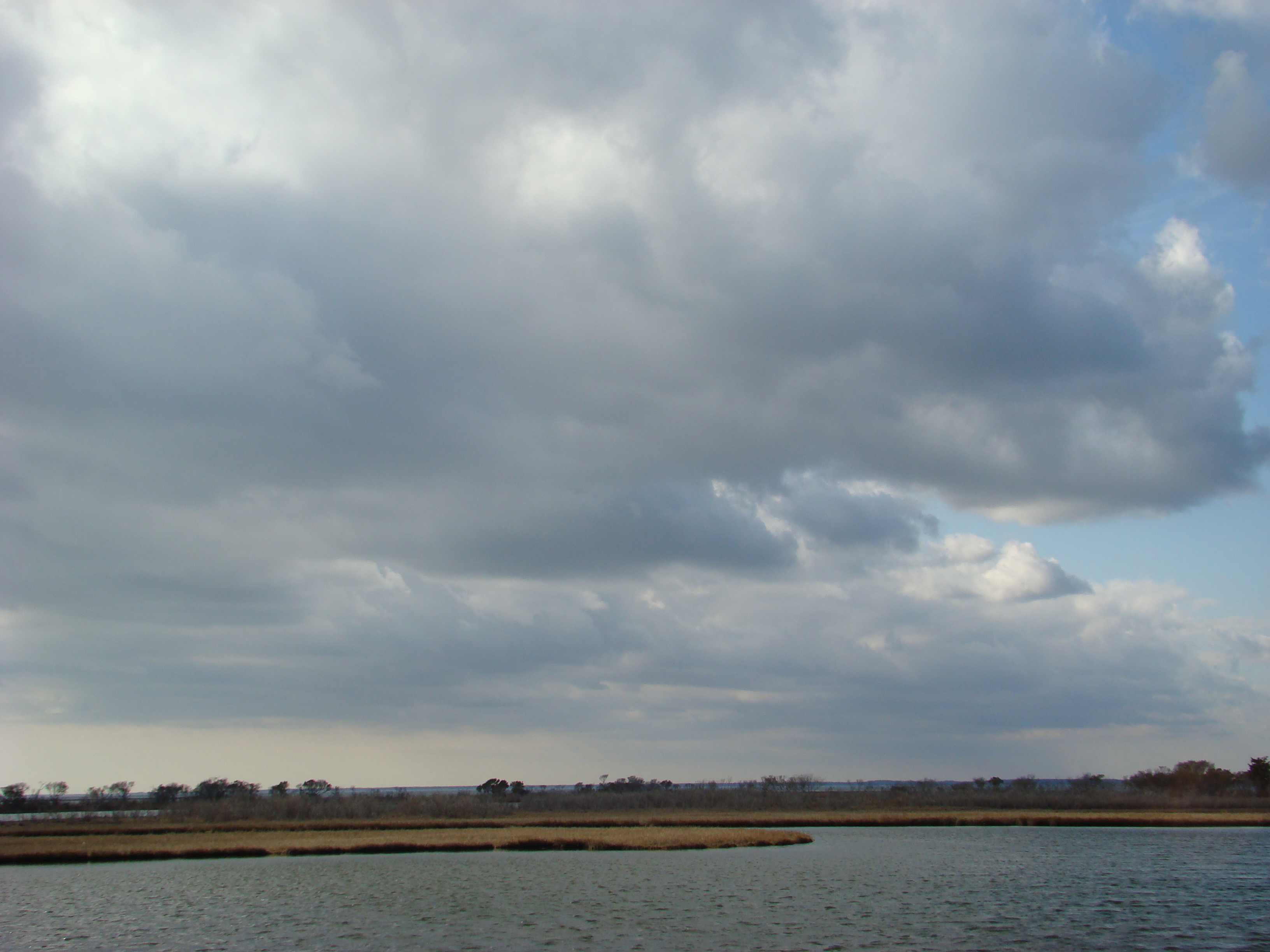
Marsh at Pemberton Historic Park

Country Road
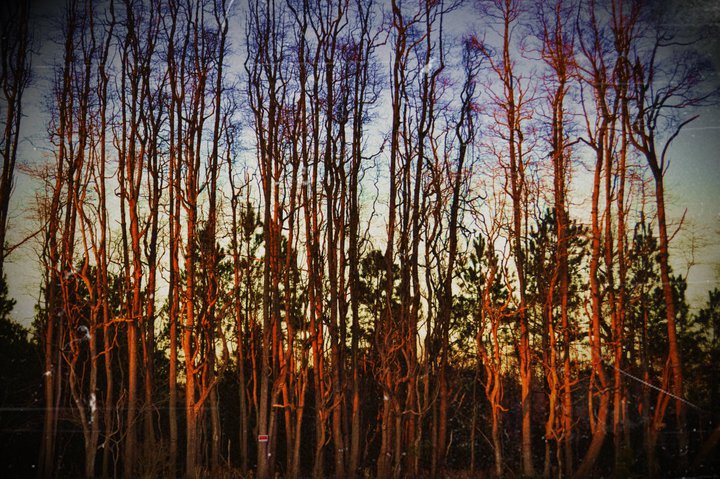
Stand of Trees

colorado horses

National Aquarium Stream Challenge
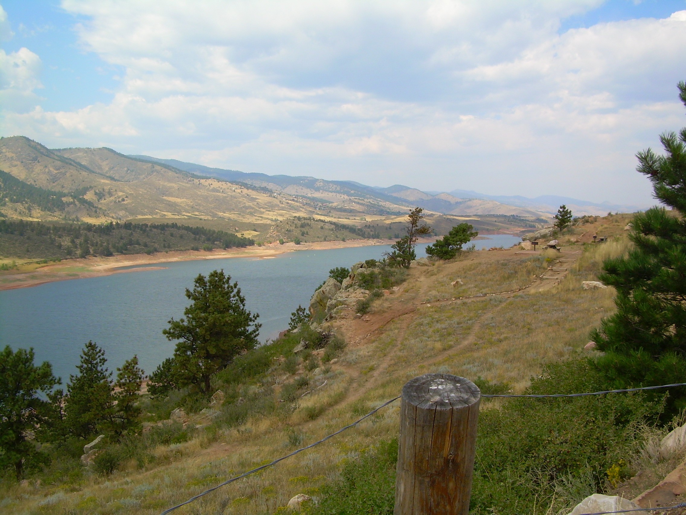
colorado scenery 2

Assateague Horse and Landscape
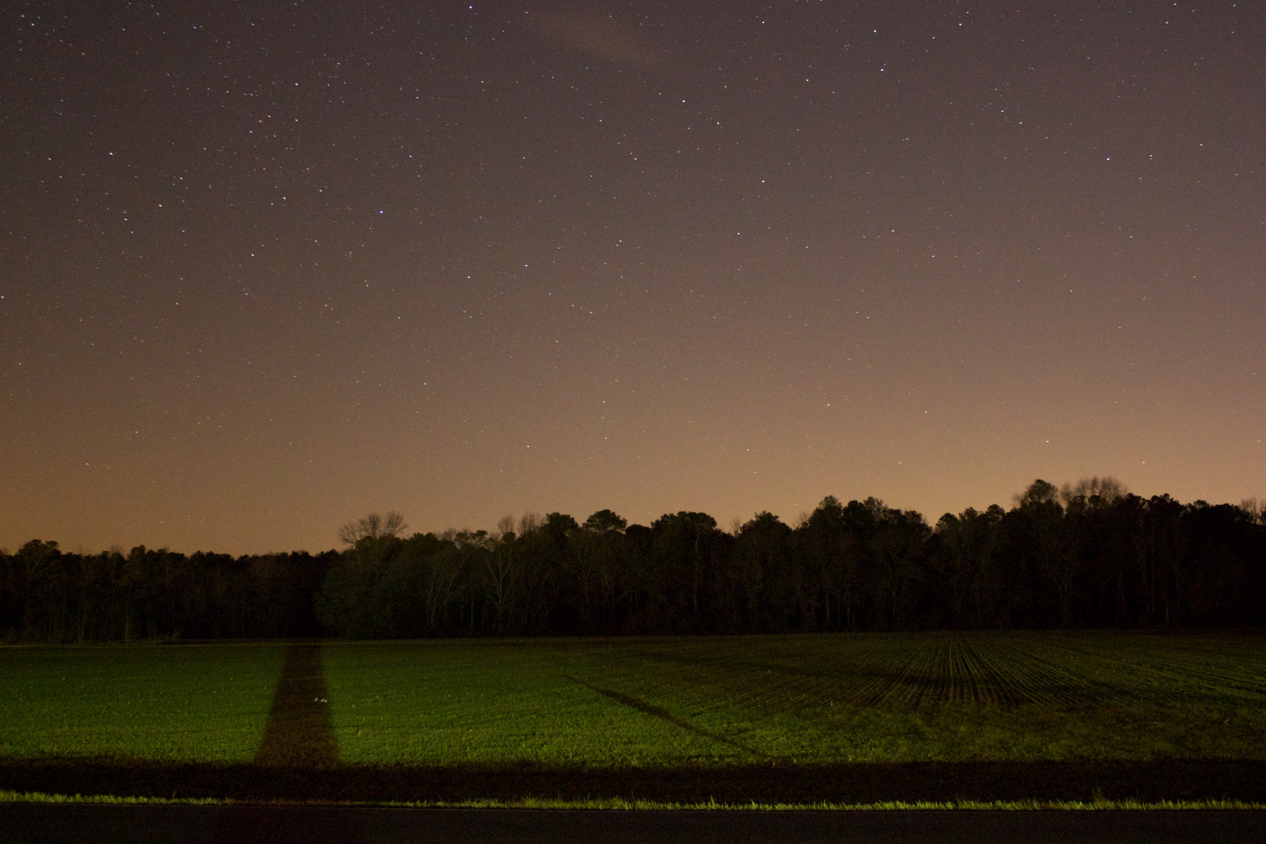
Field at Night

Site 9. Mitchel Pond
Assateague Landscape

Bear Swamp Road

Tonights sunset was awesome! Capturing it from a moving car on a cell hardly does it justice.
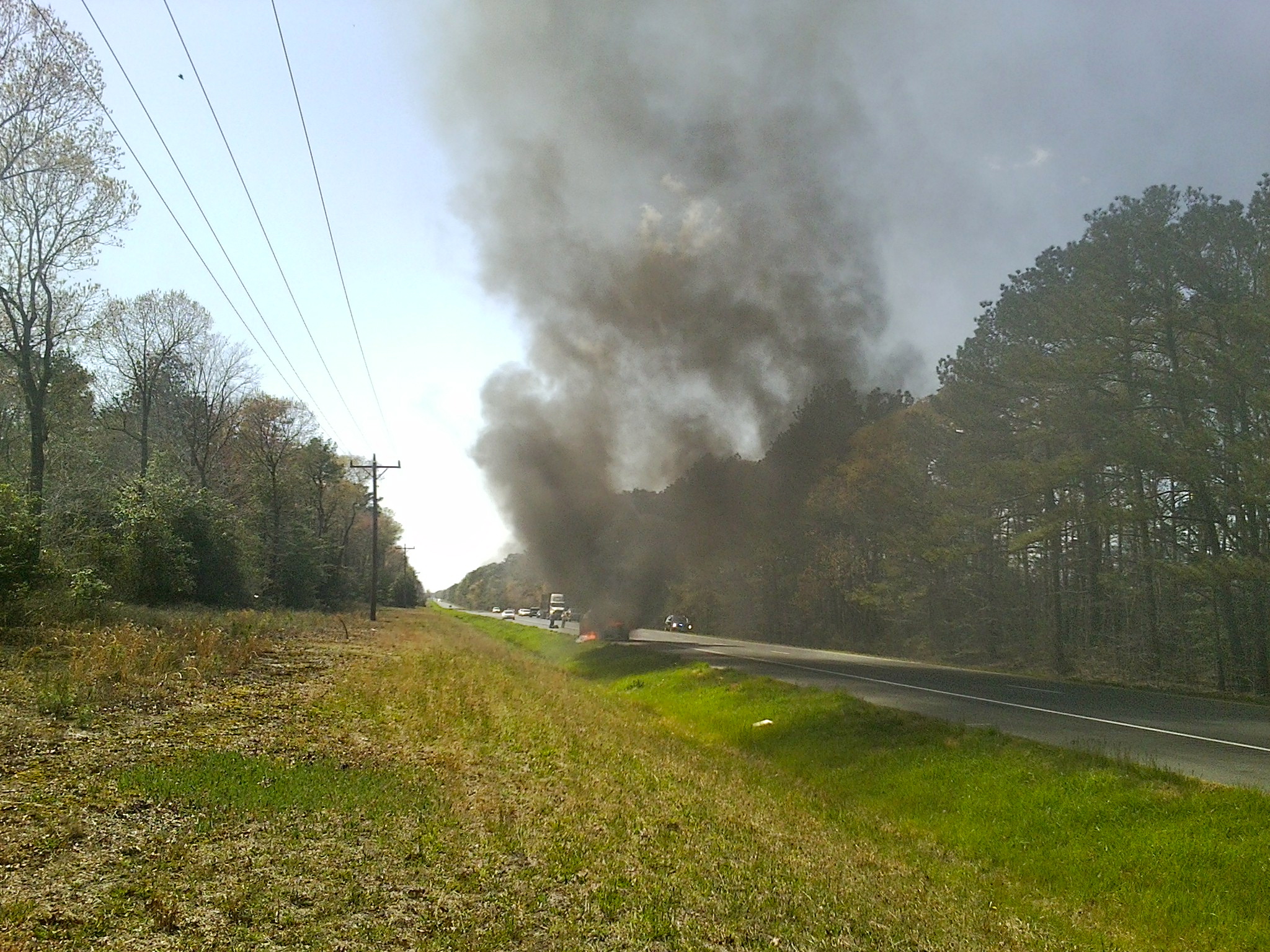
MD Route 50 Truck Fire

Week 5 of my river
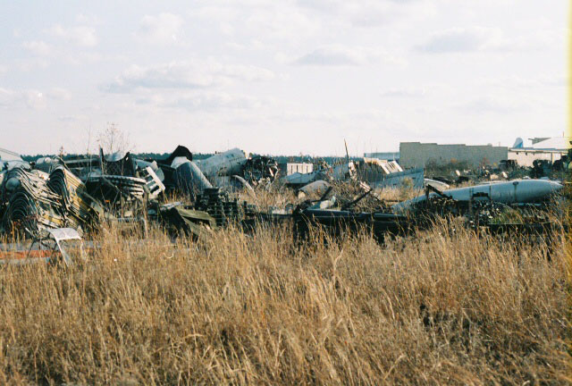
AT-6 Texan Boneyard
Topographic Map of Edwards Ave, Salisbury, MD, USA
Find elevation by address:

Places near Edwards Ave, Salisbury, MD, USA:
Grenada Dr, Salisbury, MD, USA
31775 Old Ocean City Rd
109 Pacific Ave
6933 Sandy Ridge Ct
Morris Leonard Rd, Parsonsburg, MD, USA
Merritt Mill Rd, Salisbury, MD, USA
Bowman Dr, Salisbury, MD, USA
2001 Whispering Ponds Court
5, Parsons
Zion Rd, Salisbury, MD, USA
South Kaywood Drive
Ardmore Terrace, Salisbury, MD, USA
5597 Mt Hermon Church Rd
Louise Avenue
420 Lindenhurst Ct
Pembroke Ct, Delmar, MD, USA
410 Deborah Dr
Mill Pond Village Apartments
Cherry Way
1006 Schumaker Woods Rd
Recent Searches:
- Elevation of Rojo Ct, Atascadero, CA, USA
- Elevation of Flagstaff Drive, Flagstaff Dr, North Carolina, USA
- Elevation of Avery Ln, Lakeland, FL, USA
- Elevation of Woolwine, VA, USA
- Elevation of Lumagwas Diversified Farmers Multi-Purpose Cooperative, Lumagwas, Adtuyon, RV32+MH7, Pangantucan, Bukidnon, Philippines
- Elevation of Homestead Ridge, New Braunfels, TX, USA
- Elevation of Orchard Road, Orchard Rd, Marlborough, NY, USA
- Elevation of 12 Hutchinson Woods Dr, Fletcher, NC, USA
- Elevation of Holloway Ave, San Francisco, CA, USA
- Elevation of Norfolk, NY, USA