Elevation of Bowman Dr, Salisbury, MD, USA
Location: United States > Maryland > Wicomico County > 5, Parsons > Salisbury >
Longitude: -75.548266
Latitude: 38.387226
Elevation: 14m / 46feet
Barometric Pressure: 101KPa
Elevation Map:
Satellite Map:
Related Photos:

Park Foliage

riverside dr salisbury
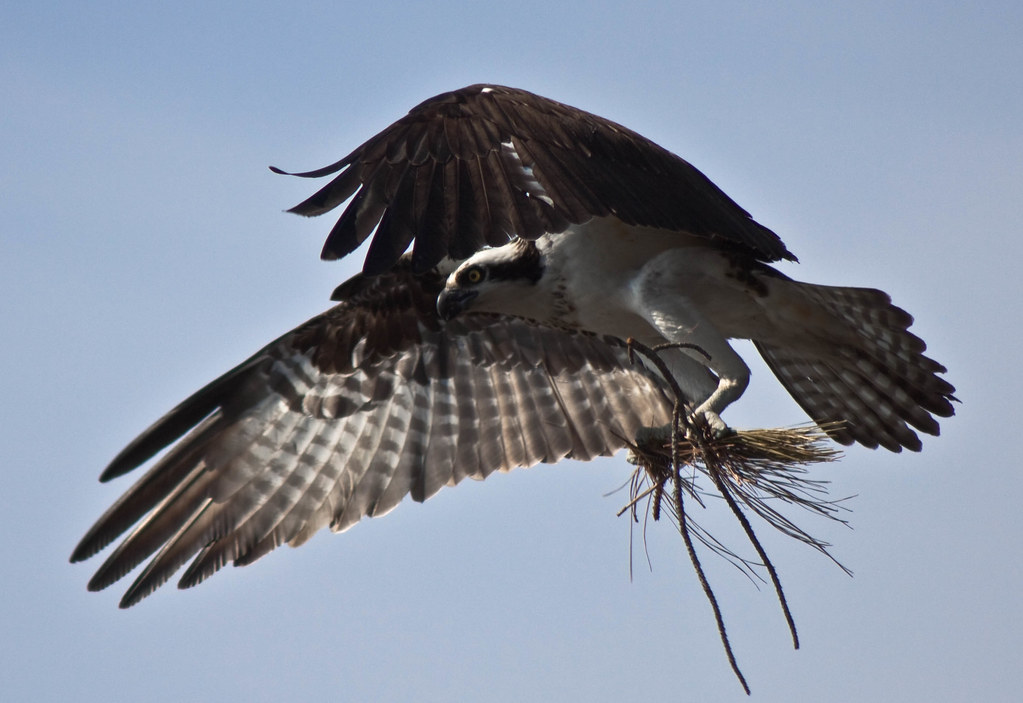
Nest Building: 101

bw version

Salisbury City Park

Smith Mining

Juvenile RTH

Park IR
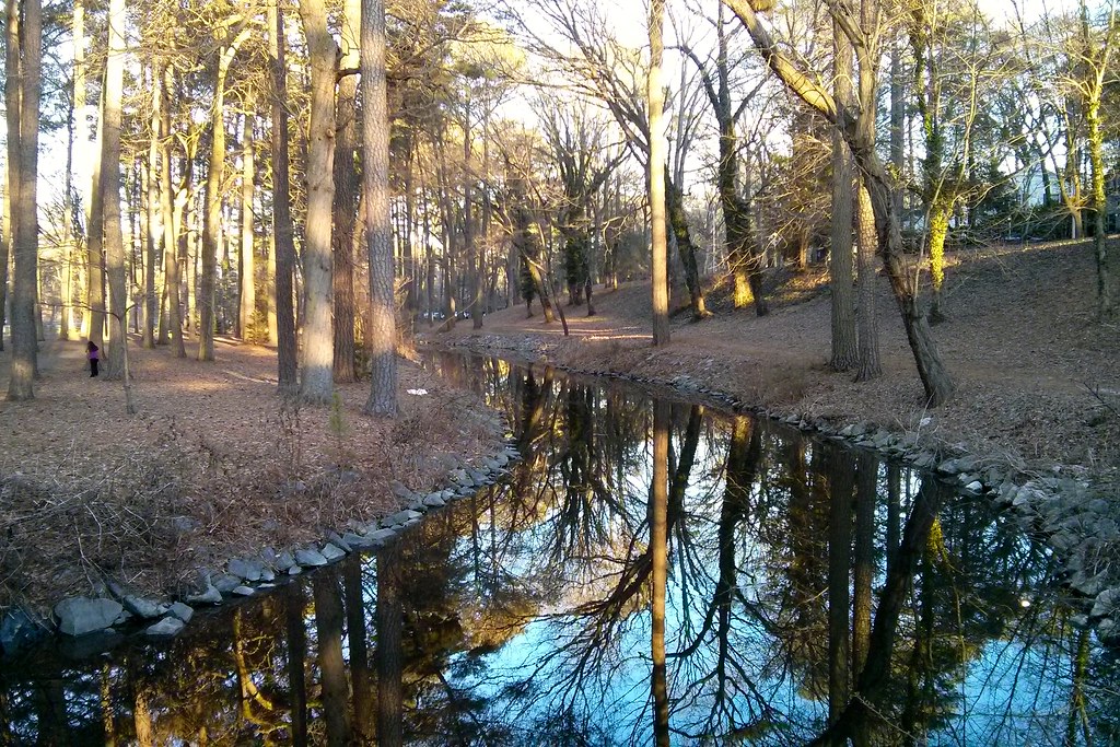
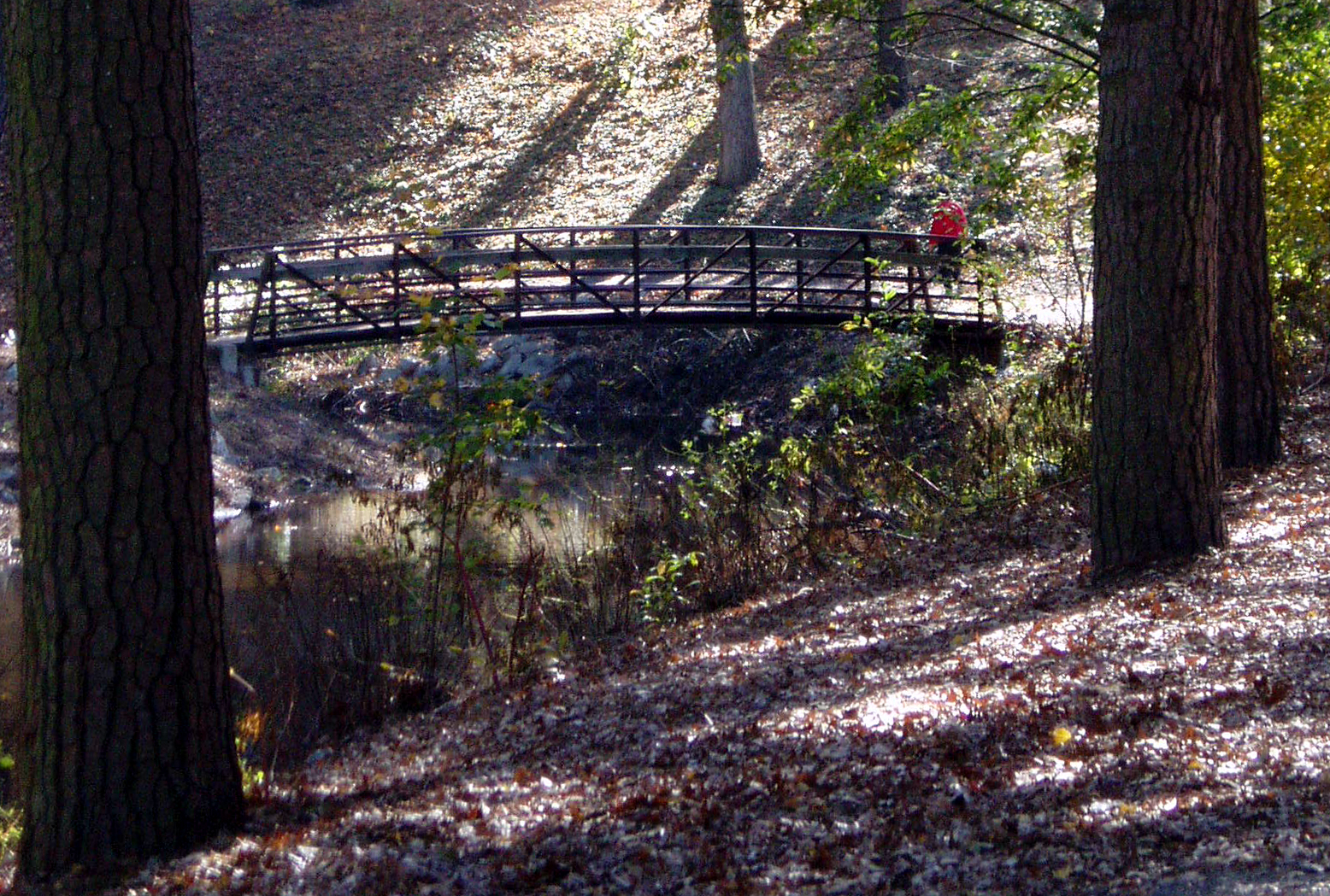
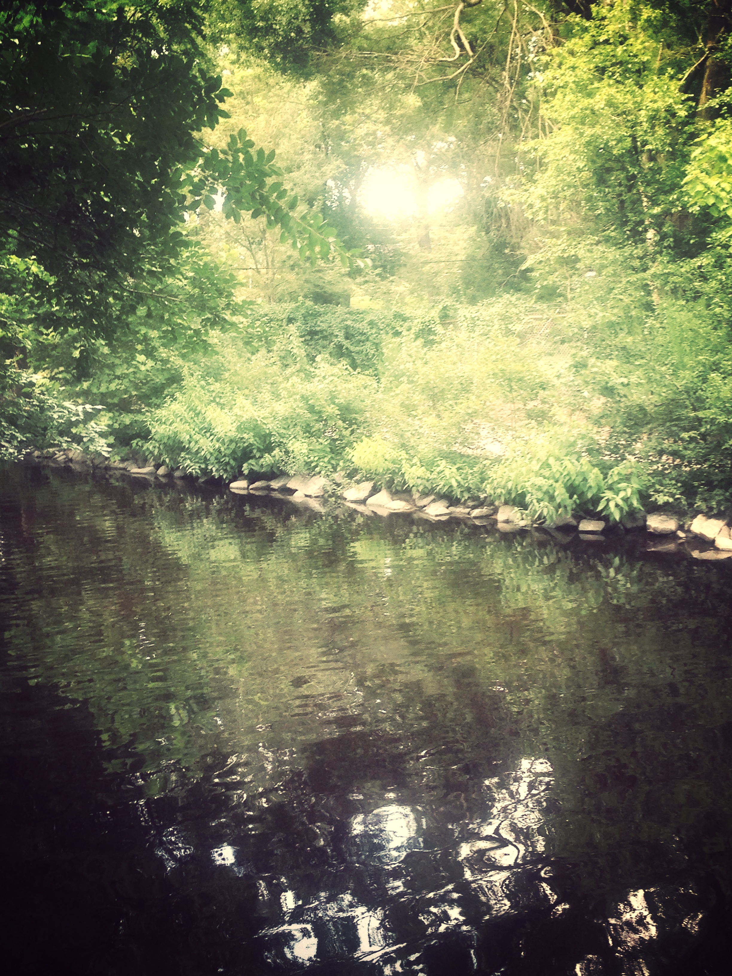
Stream view from a footbridge

The Path To The Infrarealm

The Blueblack Cold

Wicomico River, East Prong
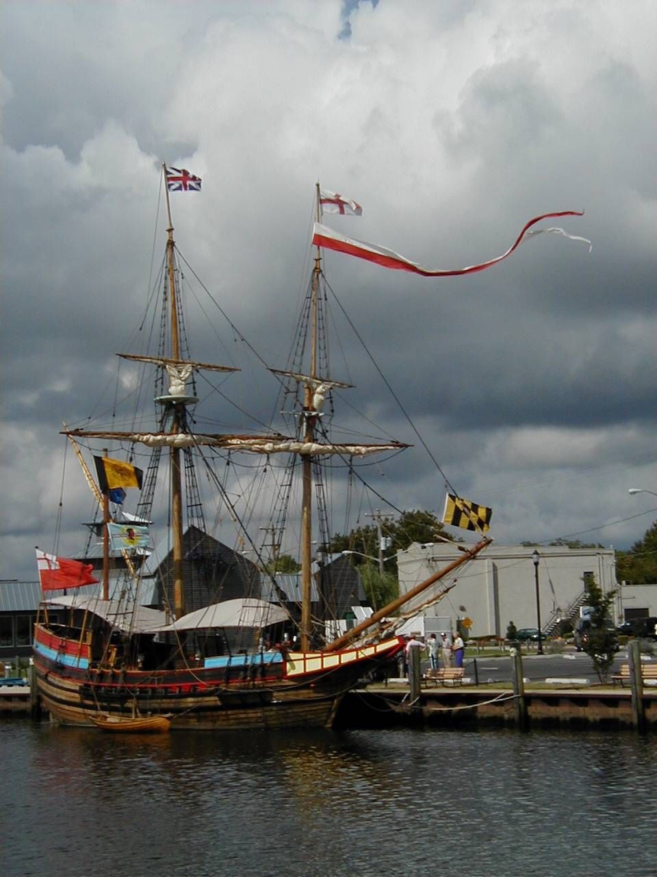
The Maryland Dove

Almost B&W
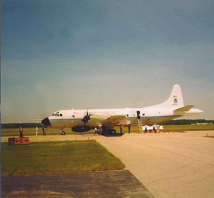
NOAA Hurricane Hunter Airplane

Only God can make a tree

Stream view from a footbridge
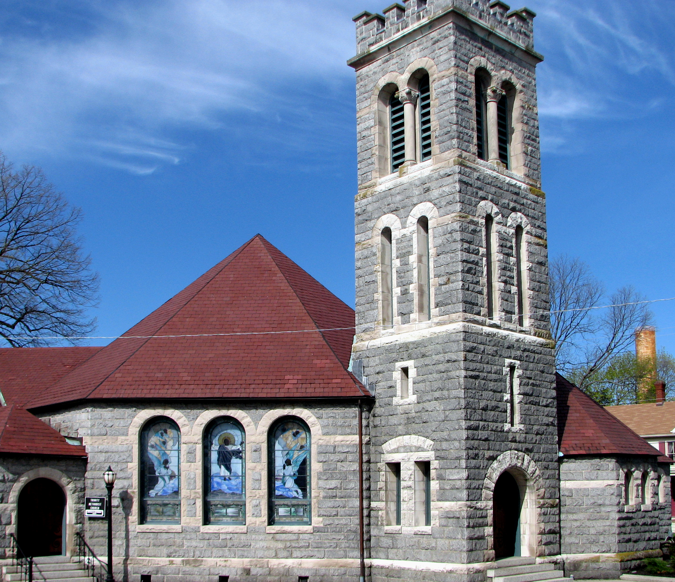
Trinity U.M. Church, Salisbury, Maryland
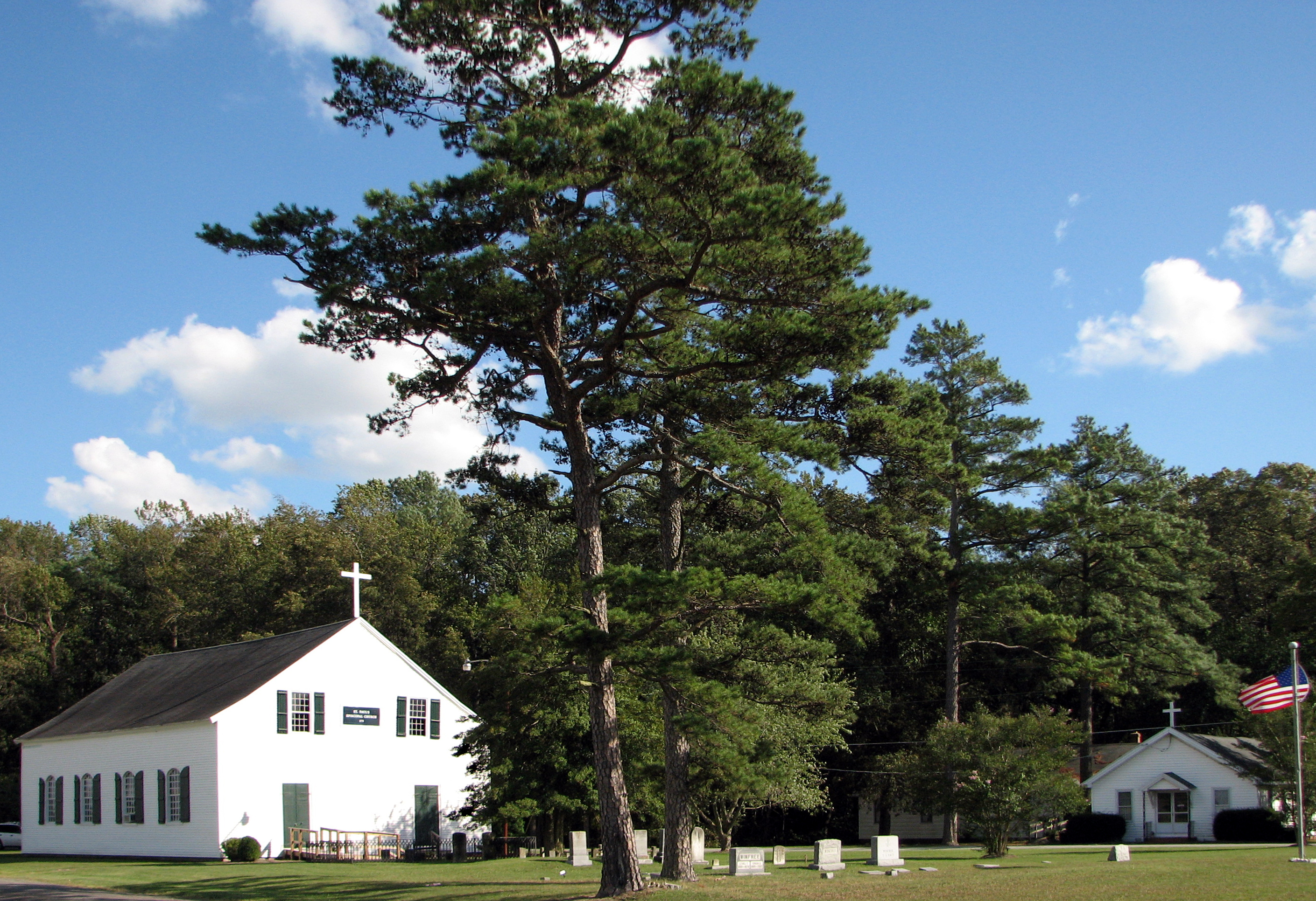
St. Paul's Episcopal Church, "Old Spring Hill"
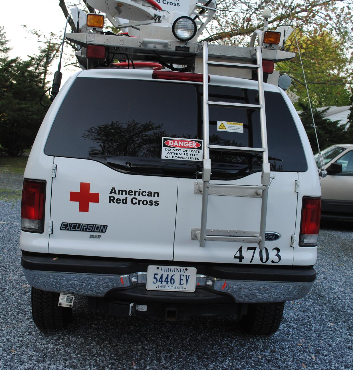
Emergency Communications Response Vehicle (ECRV) 4703

Holloway Hall
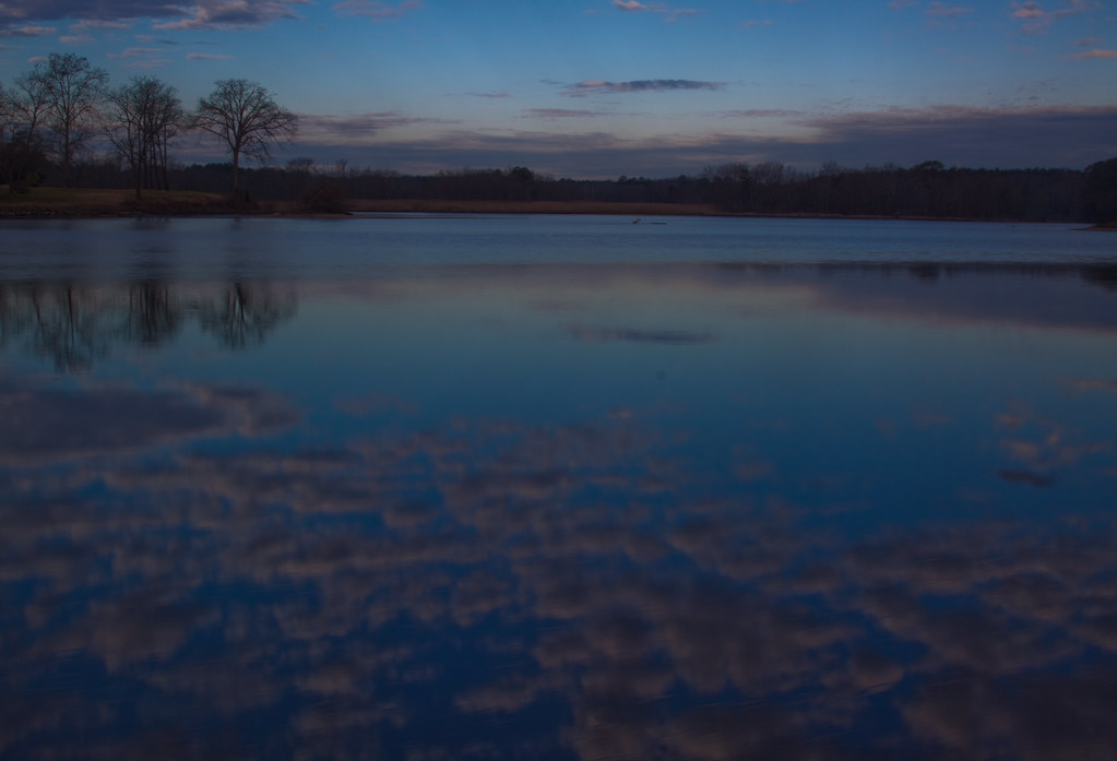
dawn reflected

Country Road

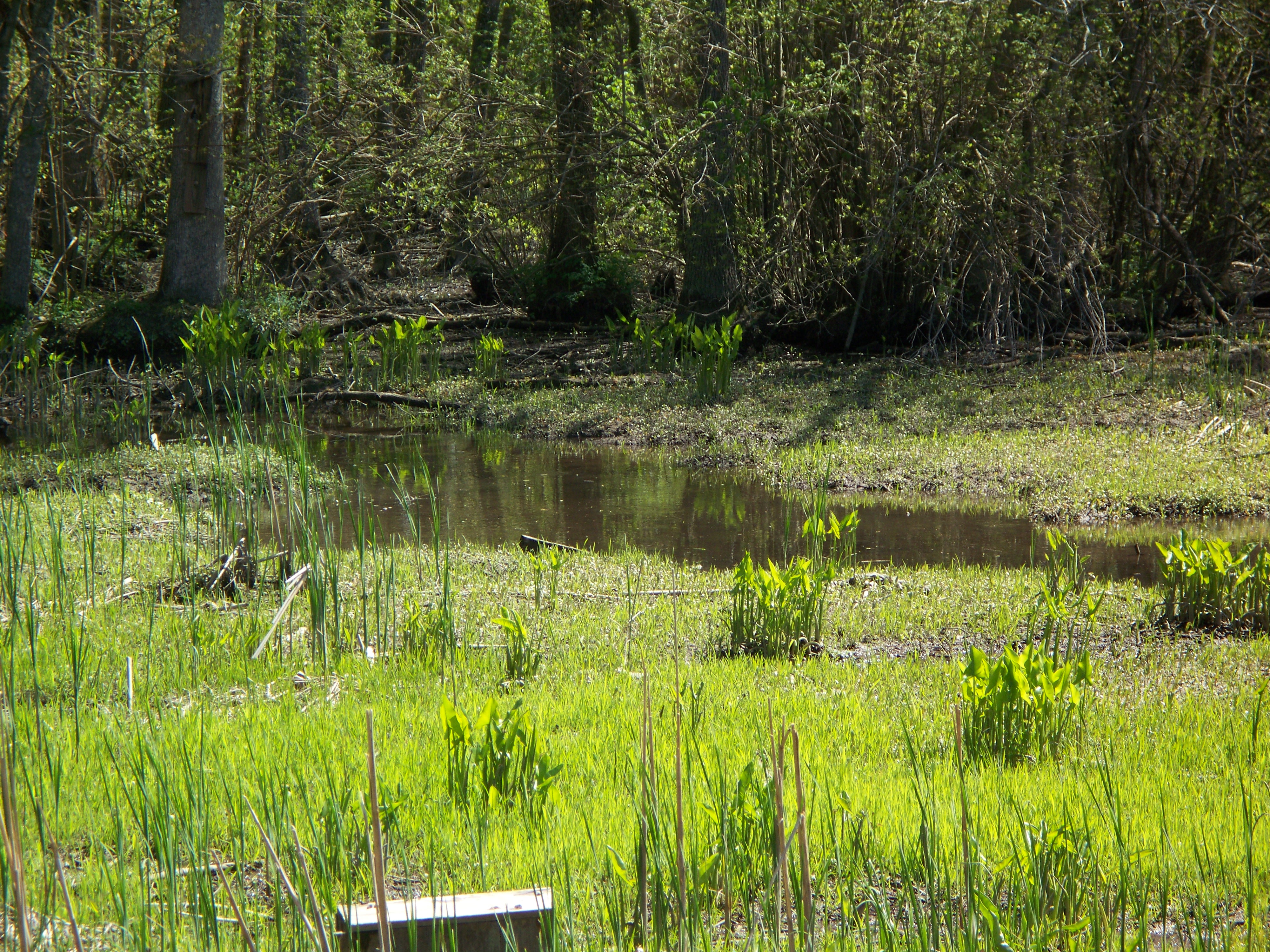
National Aquarium Stream Challenge

Bear Swamp Road
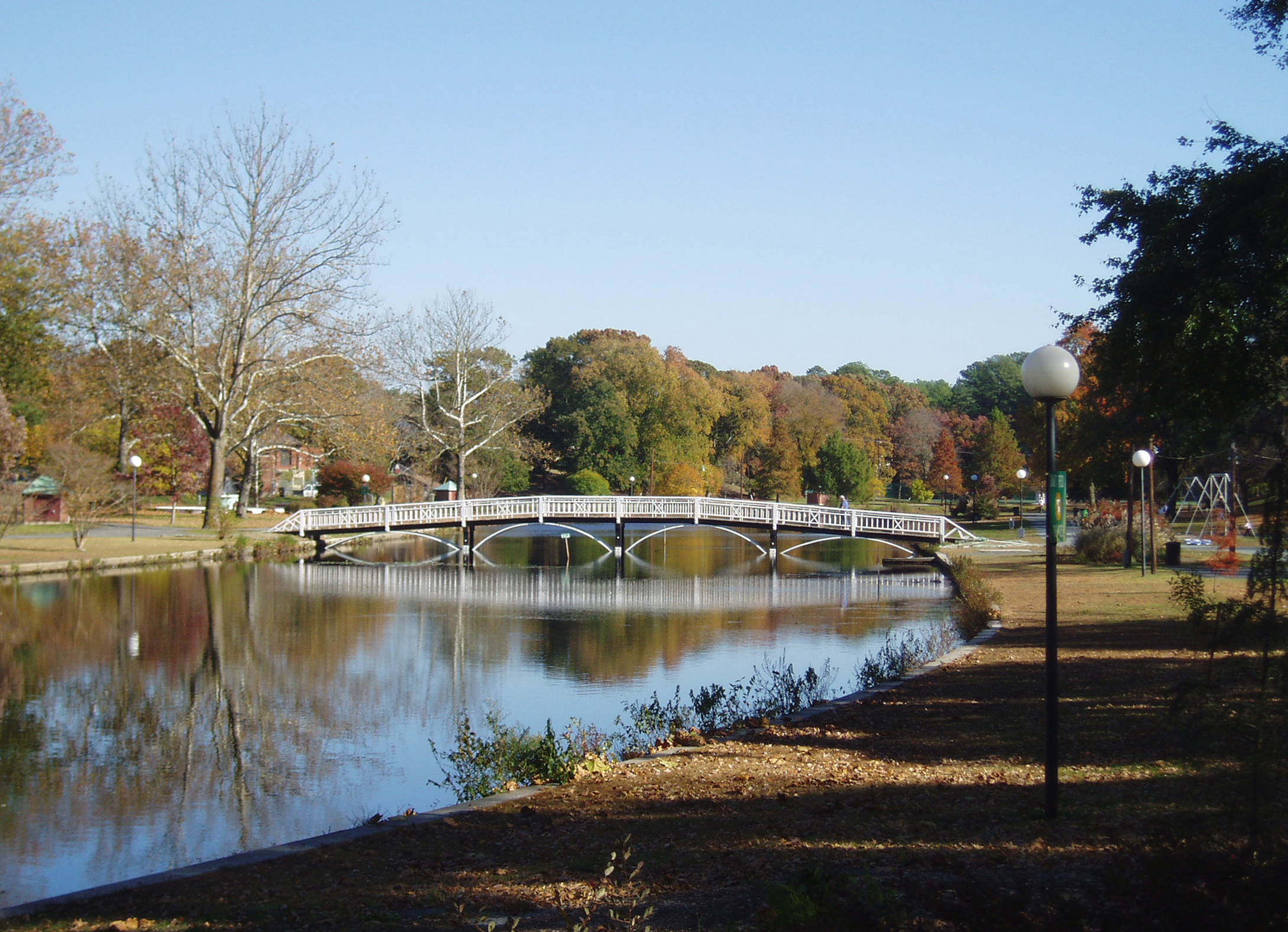
Salisbury City Park
Glory be to God for dappled things

On Peggy's Farm

Sunset in Salisbury,MD
Hiking with Max today.
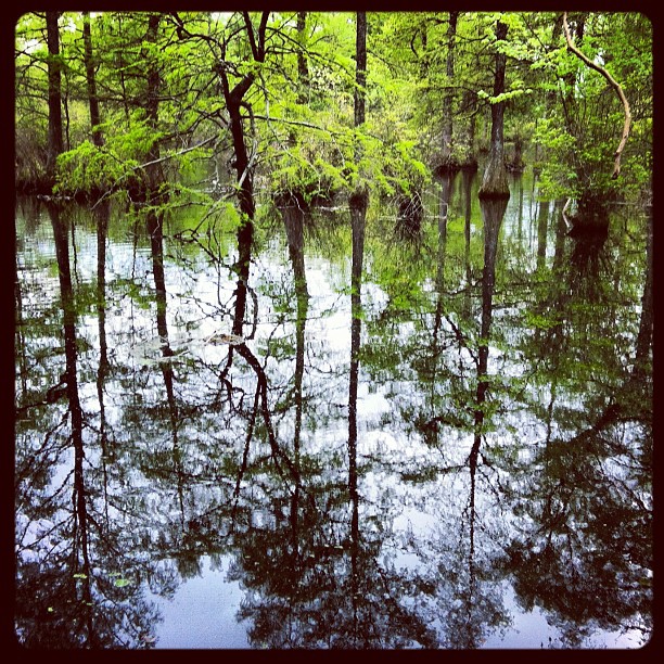
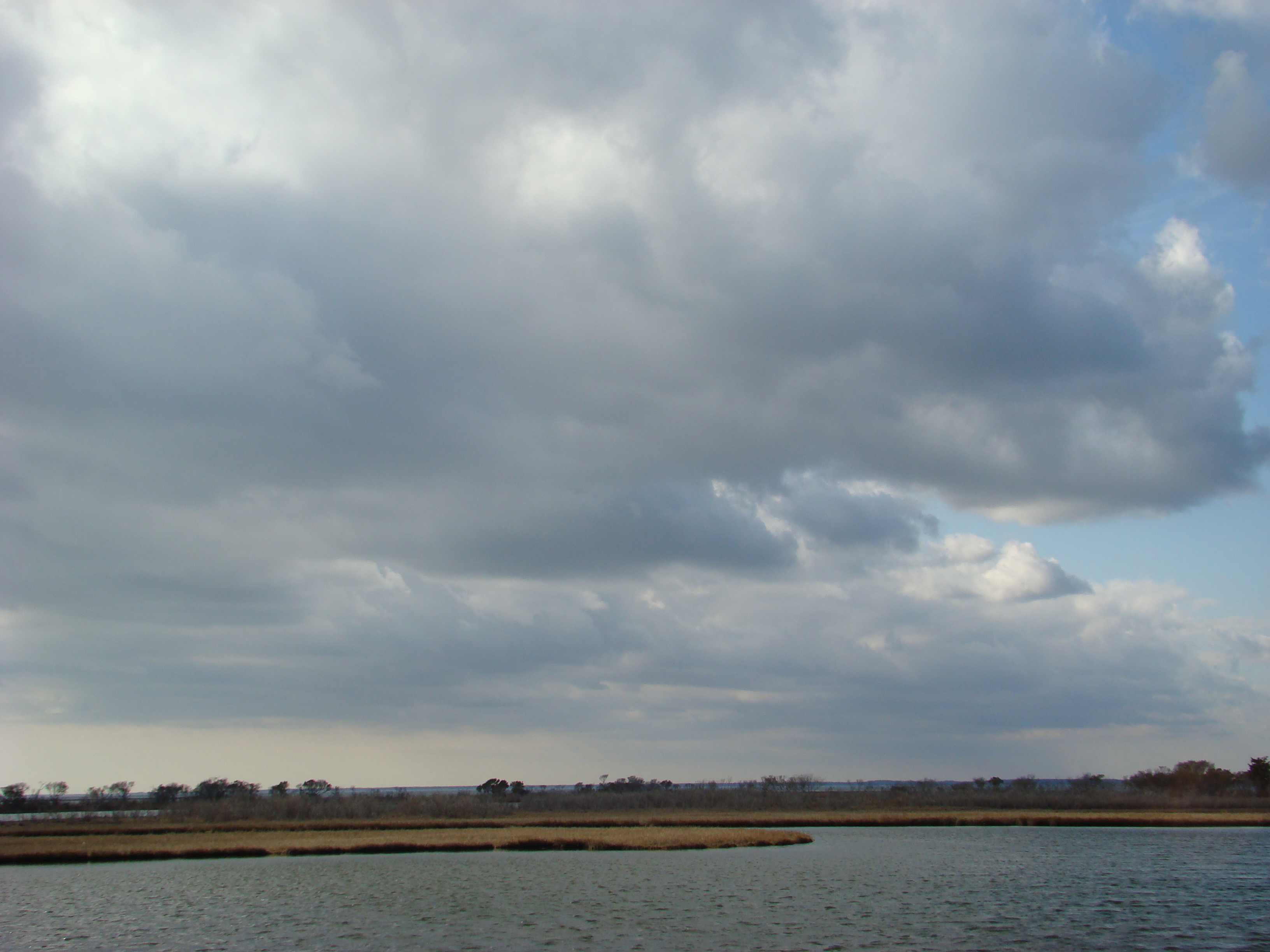
Marsh at Pemberton Historic Park
Today's trip to the zoo!! So much fun :)

Stand of Trees

Salisbury Maryland

colorado horses
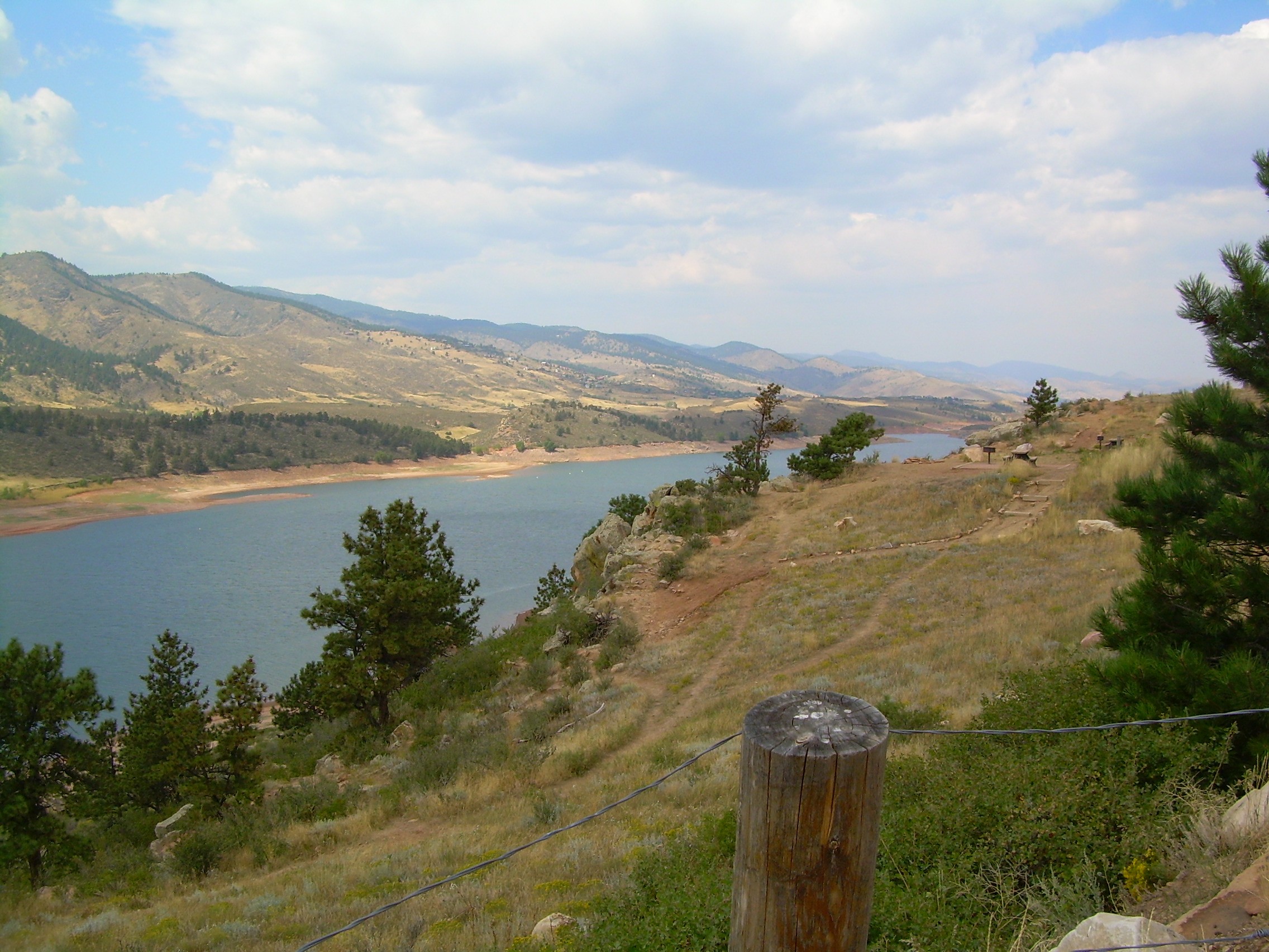
colorado scenery 2

Assateague Horse and Landscape
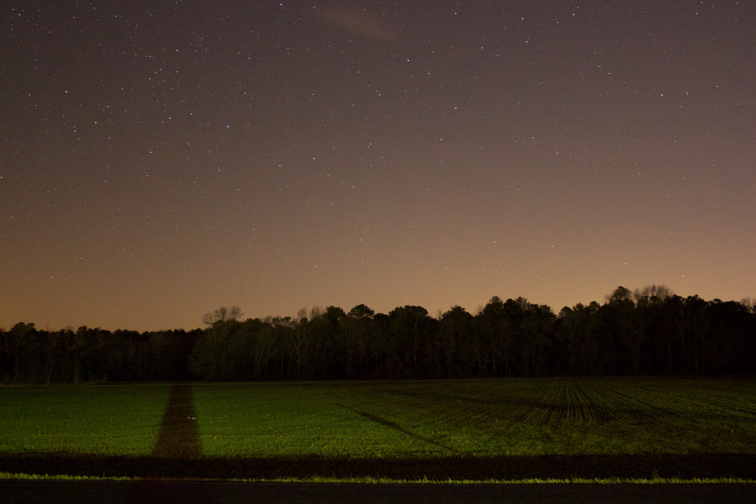
Field at Night

Site 9. Mitchel Pond
Assateague Landscape
Topographic Map of Bowman Dr, Salisbury, MD, USA
Find elevation by address:

Places near Bowman Dr, Salisbury, MD, USA:
6933 Sandy Ridge Ct
Zion Rd, Salisbury, MD, USA
109 Pacific Ave
2001 Whispering Ponds Court
Merritt Mill Rd, Salisbury, MD, USA
420 Lindenhurst Ct
Edwards Ave, Salisbury, MD, USA
410 Deborah Dr
Mill Pond Village Apartments
Louise Avenue
Cherry Way
Morris Leonard Rd, Parsonsburg, MD, USA
South Kaywood Drive
Grenada Dr, Salisbury, MD, USA
Ardmore Terrace, Salisbury, MD, USA
Dagsboro Road
Priscilla Street
31775 Old Ocean City Rd
Salisbury City Dog Park
1006 Schumaker Woods Rd
Recent Searches:
- Elevation of Warwick, RI, USA
- Elevation of Fern Rd, Whitmore, CA, USA
- Elevation of 62 Abbey St, Marshfield, MA, USA
- Elevation of Fernwood, Bradenton, FL, USA
- Elevation of Felindre, Swansea SA5 7LU, UK
- Elevation of Leyte Industrial Development Estate, Isabel, Leyte, Philippines
- Elevation of W Granada St, Tampa, FL, USA
- Elevation of Pykes Down, Ivybridge PL21 0BY, UK
- Elevation of Jalan Senandin, Lutong, Miri, Sarawak, Malaysia
- Elevation of Bilohirs'k