Elevation of Mercer County, OH, USA
Location: United States > Ohio >
Longitude: -84.689749
Latitude: 40.5940548
Elevation: 263m / 863feet
Barometric Pressure: 98KPa
Elevation Map:
Satellite Map:
Related Photos:
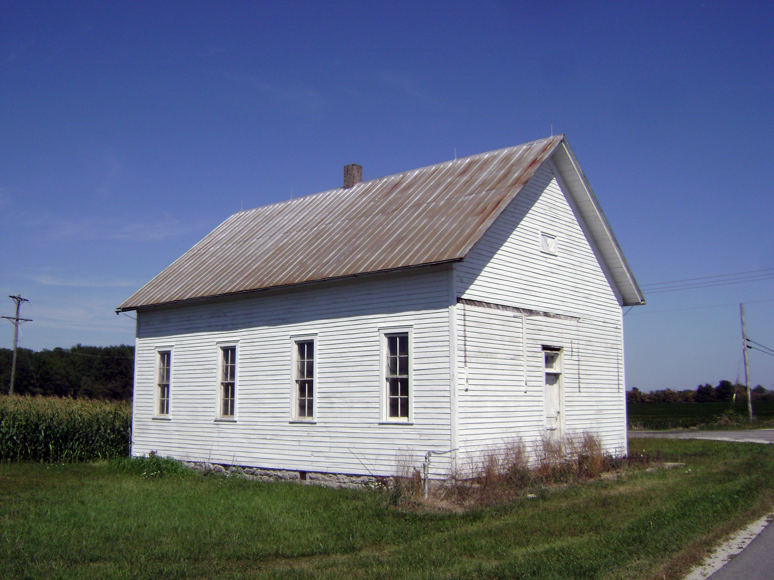
Hinton, Ohio- Joint School Number 10

20160205-DSC02182.jpg

about to set

Beautiful day for some soccer! Go Rangers! Get 'em girls!!!

Mid-west Sunset

Big Sky Ohio
Beautiful NOW...but is White Death at the hands of Winter Storm Titan looming in the shadows?!?

Grand L St Marys Light- Celina OH
!
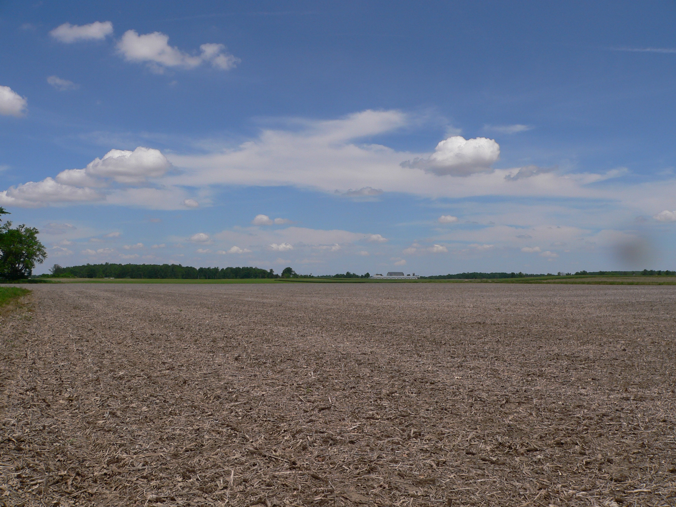
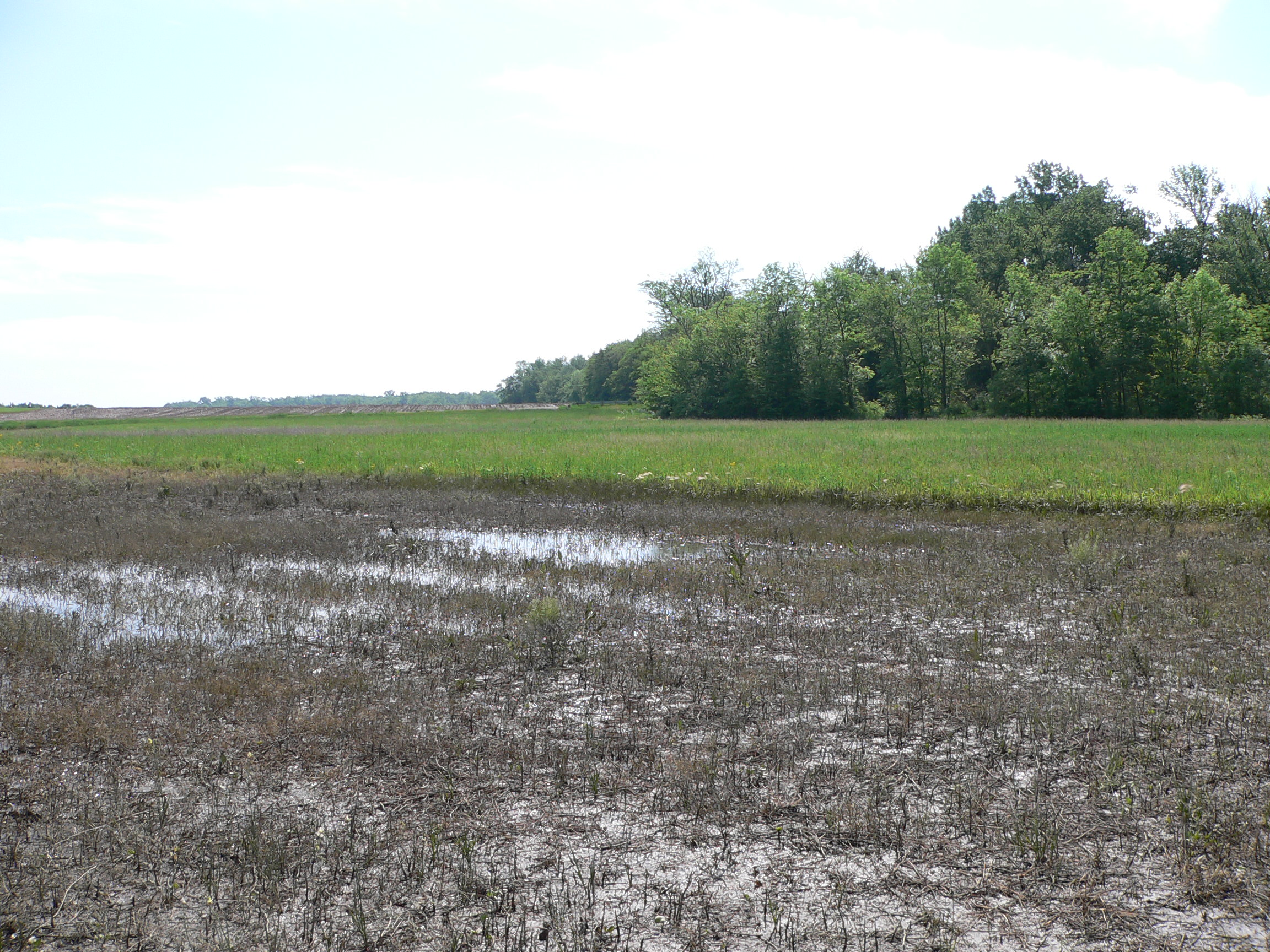
Field Work
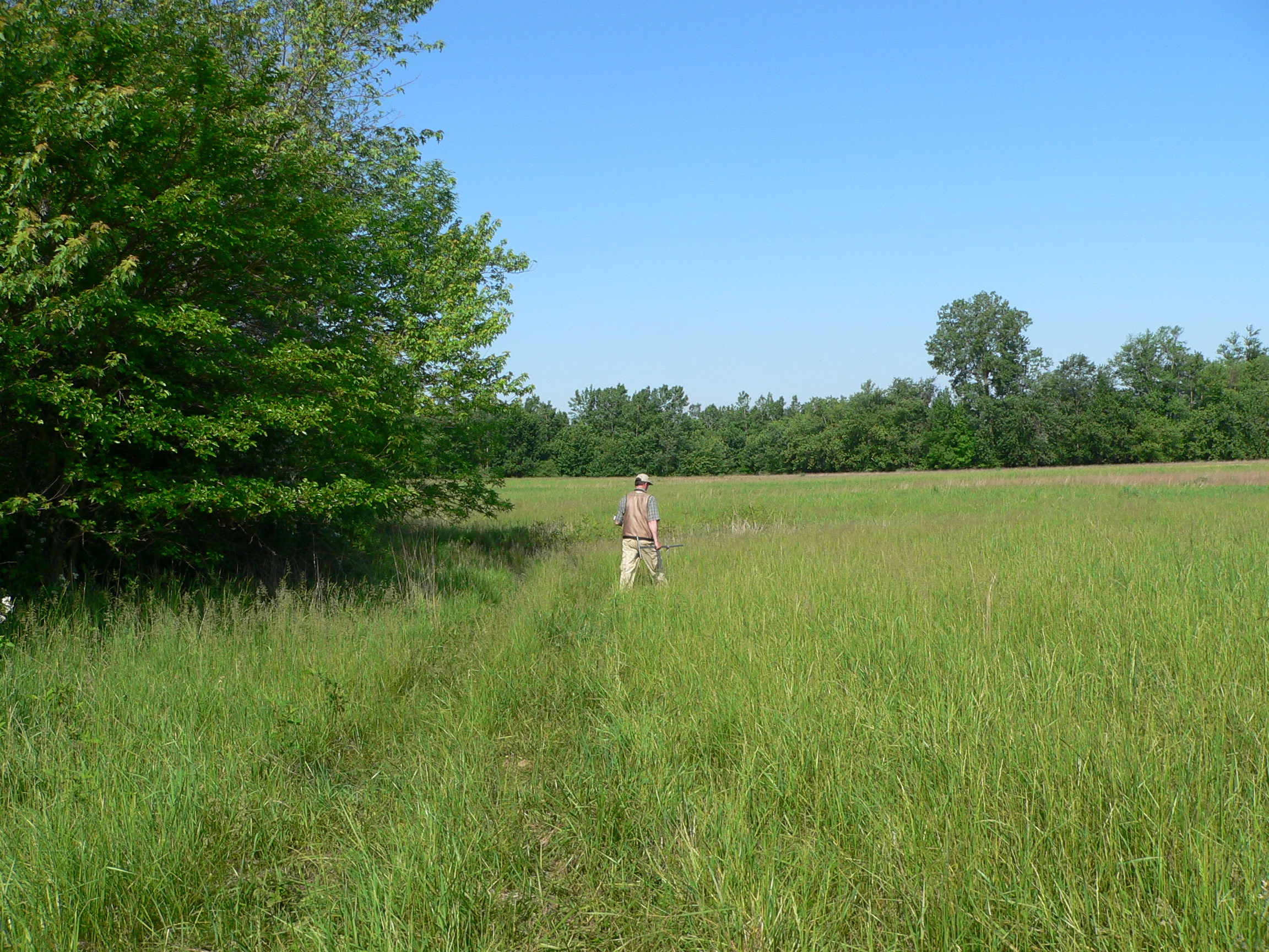
Field Work
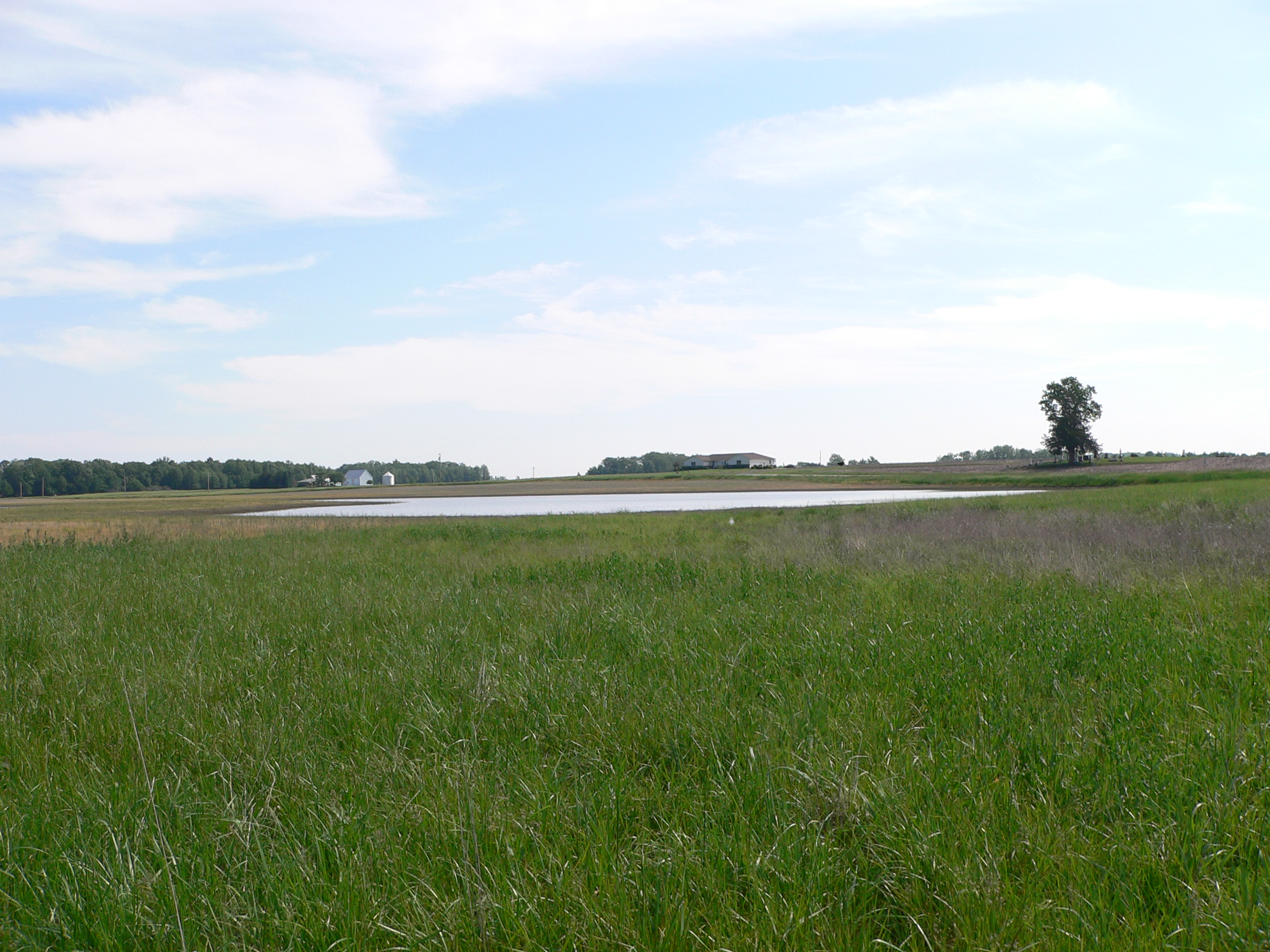
Field Work
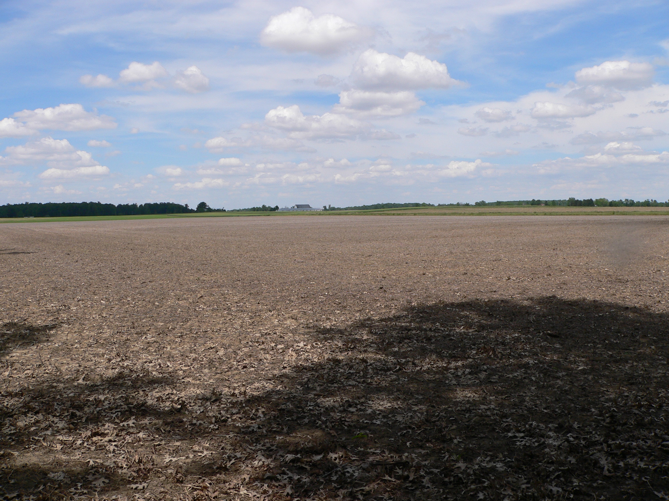
Field Work
Field Work
Field Work
Topographic Map of Mercer County, OH, USA
Find elevation by address:

Places in Mercer County, OH, USA:
Franklin Township
Washington Township
Liberty Township
Gibson Township
Hopewell Township
Marion Township
Jefferson Township
Fort Recovery-Minster Rd, St Henry, OH, USA
Market St, Mendon, OH, USA
Granville Township
Butler Township
Center Township
Places near Mercer County, OH, USA:
Frahm Pike, Celina, OH, USA
Butler Township
Greenland Estates
Celina
E Market St, Celina, OH, USA
Jefferson Township
Coldwater
Montezuma Acres Dr, Celina, OH, USA
28 E Main St, Celina, OH, USA
Karafit Rd, Celina, OH, USA
Wright State University Lake Campus
8041 Oldtown Rd
Franklin Township
834 Edgewater Dr
Grand Lake Saint Marys State Park
St. Marys Township
Saint Marys
W Spring St, St Marys, OH, USA
Bright.net Ohio
German Township
Recent Searches:
- Elevation of Corso Fratelli Cairoli, 35, Macerata MC, Italy
- Elevation of Tallevast Rd, Sarasota, FL, USA
- Elevation of 4th St E, Sonoma, CA, USA
- Elevation of Black Hollow Rd, Pennsdale, PA, USA
- Elevation of Oakland Ave, Williamsport, PA, USA
- Elevation of Pedrógão Grande, Portugal
- Elevation of Klee Dr, Martinsburg, WV, USA
- Elevation of Via Roma, Pieranica CR, Italy
- Elevation of Tavkvetili Mountain, Georgia
- Elevation of Hartfords Bluff Cir, Mt Pleasant, SC, USA