Elevation of Granville Township, OH, USA
Location: United States > Ohio > Mercer County >
Longitude: -84.626982
Latitude: 40.4084826
Elevation: 299m / 981feet
Barometric Pressure: 98KPa
Elevation Map:
Satellite Map:
Related Photos:

View of the Encampment and Battle Ground on the 4th of November, 1791
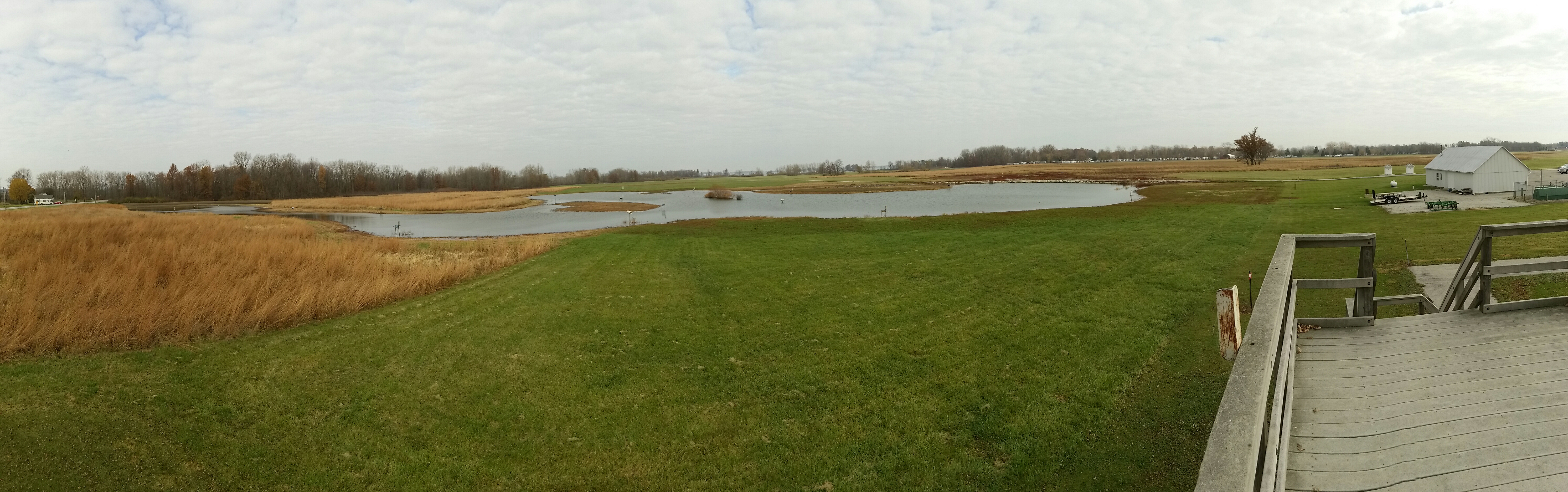
Mercer W.A. ... view from observation platform

All the Pretty Little Horses

Franklin Township Park -- bike trail

Storage Shed, Maria Stein, OH, April, 2014

!

Beautiful NOW...but is White Death at the hands of Winter Storm Titan looming in the shadows?!?
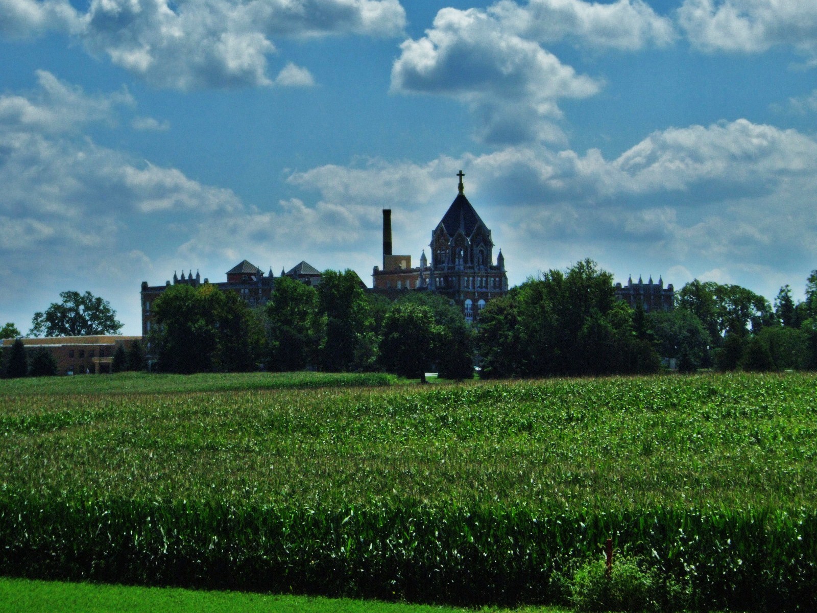
St. Charles Seminary, Carthegena, OH
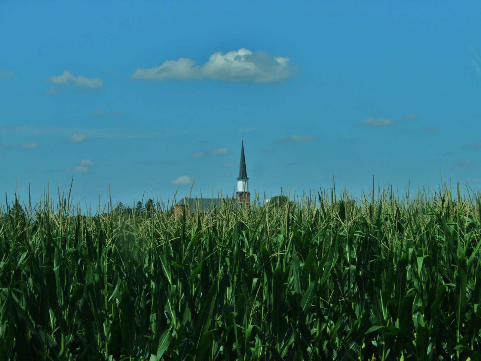
St. Aloysius Catholic Church, Carthegena, OH

Beautiful day for some soccer! Go Rangers! Get 'em girls!!!
Topographic Map of Granville Township, OH, USA
Find elevation by address:

Places in Granville Township, OH, USA:
Places near Granville Township, OH, USA:
Saint Henry
1 Cooper Farm Dr
Fort Recovery-Minster Rd, St Henry, OH, USA
New Weston
E Main St, New Weston, OH, USA
Sharpsburg Rd, Fort Recovery, OH, USA
Sharpsburg
15 E Star Rd, Rossburg, OH, USA
Marion Township
Allen Township
Maria Stein
15 OH-, Yorkshire, OH, USA
Osgood
OH-, Maria Stein, OH, USA
Patterson Township
Jackson Township
E 4th St, Minster, OH, USA
Minster
Mclean Township
Recent Searches:
- Elevation of Congressional Dr, Stevensville, MD, USA
- Elevation of Bellview Rd, McLean, VA, USA
- Elevation of Stage Island Rd, Chatham, MA, USA
- Elevation of Shibuya Scramble Crossing, 21 Udagawacho, Shibuya City, Tokyo -, Japan
- Elevation of Jadagoniai, Kaunas District Municipality, Lithuania
- Elevation of Pagonija rock, Kranto 7-oji g. 8"N, Kaunas, Lithuania
- Elevation of Co Rd 87, Jamestown, CO, USA
- Elevation of Tenjo, Cundinamarca, Colombia
- Elevation of Côte-des-Neiges, Montreal, QC H4A 3J6, Canada
- Elevation of Bobcat Dr, Helena, MT, USA