Elevation of 1 Cooper Farm Dr, St Henry, OH, USA
Location: United States > Ohio > Mercer County > Granville Township > Saint Henry >
Longitude: -84.621282
Latitude: 40.4268534
Elevation: 289m / 948feet
Barometric Pressure: 98KPa
Elevation Map:
Satellite Map:
Related Photos:
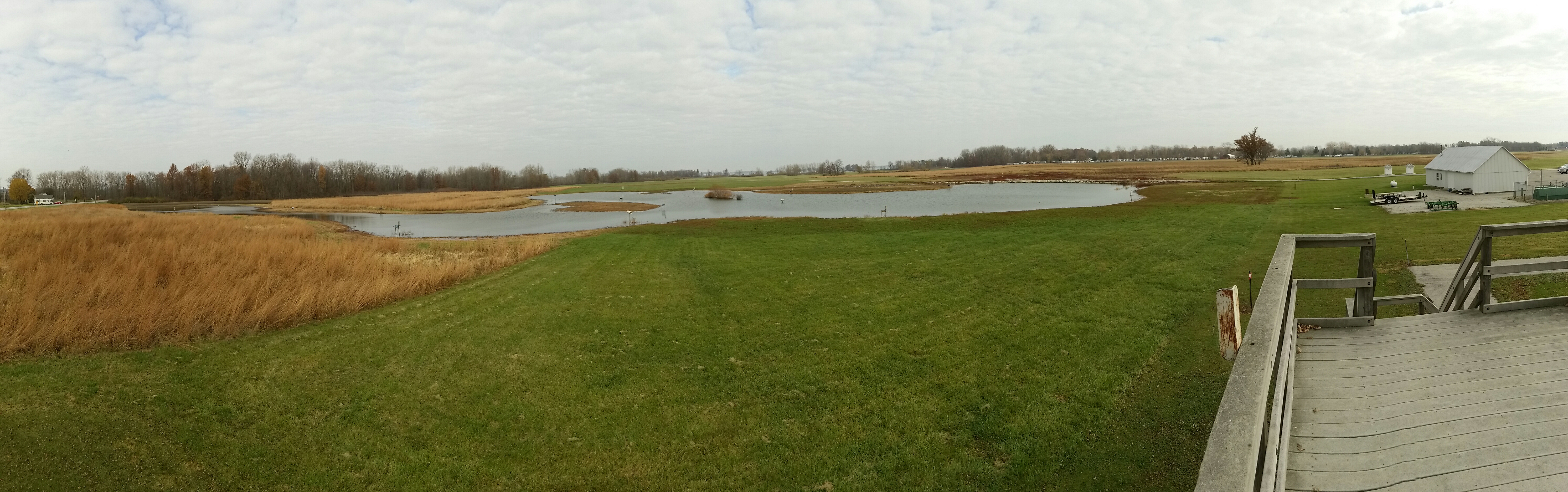
Mercer W.A. ... view from observation platform

View of the Encampment and Battle Ground on the 4th of November, 1791

Storage Shed, Maria Stein, OH, April, 2014

!

All the Pretty Little Horses

Beautiful NOW...but is White Death at the hands of Winter Storm Titan looming in the shadows?!?

2010-09-26 017

St. Charles Seminary, Carthegena, OH

St. Aloysius Catholic Church, Carthegena, OH

Beautiful day for some soccer! Go Rangers! Get 'em girls!!!

Franklin Township Park -- bike trail
Topographic Map of 1 Cooper Farm Dr, St Henry, OH, USA
Find elevation by address:

Places near 1 Cooper Farm Dr, St Henry, OH, USA:
Granville Township
Saint Henry
Fort Recovery-Minster Rd, St Henry, OH, USA
New Weston
E Main St, New Weston, OH, USA
Sharpsburg Rd, Fort Recovery, OH, USA
Sharpsburg
15 E Star Rd, Rossburg, OH, USA
Marion Township
Maria Stein
Allen Township
OH-, Maria Stein, OH, USA
15 OH-, Yorkshire, OH, USA
Osgood
Patterson Township
Jackson Township
E 4th St, Minster, OH, USA
Minster
Mclean Township
Recent Searches:
- Elevation of Zimmer Trail, Pennsylvania, USA
- Elevation of 87 Kilmartin Ave, Bristol, CT, USA
- Elevation of Honghe National Nature Reserve, QP95+PJP, Tongjiang, Heilongjiang, Jiamusi, Heilongjiang, China
- Elevation of Hercules Dr, Colorado Springs, CO, USA
- Elevation of Szlak pieszy czarny, Poland
- Elevation of Griffing Blvd, Biscayne Park, FL, USA
- Elevation of Kreuzburger Weg 13, Düsseldorf, Germany
- Elevation of Gateway Blvd SE, Canton, OH, USA
- Elevation of East W.T. Harris Boulevard, E W.T. Harris Blvd, Charlotte, NC, USA
- Elevation of West Sugar Creek, Charlotte, NC, USA