Elevation of Oldtown Rd, Celina, OH, USA
Location: United States > Ohio > Mercer County > Jefferson Township > Celina >
Longitude: -84.49188
Latitude: 40.568152
Elevation: 268m / 879feet
Barometric Pressure: 98KPa
Elevation Map:
Satellite Map:
Related Photos:

Villa View Inn - St. Marys, Ohio

Villa View Inn - St. Marys, Ohio

Miami and Erie Canal

St Marys Feeder Canal Bulkhead
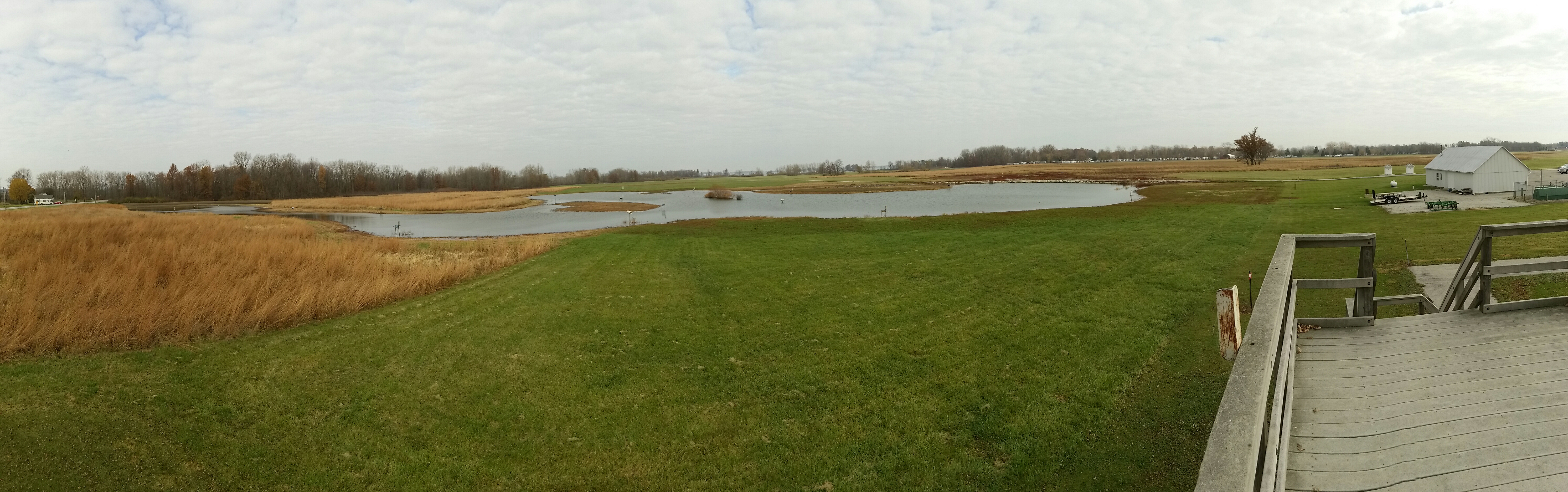
Mercer W.A. ... view from observation platform

Beautiful day for Soccer!

RJC 1806 RJC 1731 at the Distribution center

Big Sky Ohio

about to set

!

Pumpkin Patch Time!

Beautiful NOW...but is White Death at the hands of Winter Storm Titan looming in the shadows?!?

St. Aloysius Catholic Church, Carthegena, OH

Franklin Township Park -- bike trail

Beautiful day for some soccer! Go Rangers! Get 'em girls!!!

Beautiful day for Soccer!
Topographic Map of Oldtown Rd, Celina, OH, USA
Find elevation by address:

Places near Oldtown Rd, Celina, OH, USA:
Wright State University Lake Campus
834 Edgewater Dr
Karafit Rd, Celina, OH, USA
E Market St, Celina, OH, USA
Celina
Grand Lake Saint Marys State Park
Franklin Township
Jefferson Township
St. Marys Township
Montezuma Acres Dr, Celina, OH, USA
28 E Main St, Celina, OH, USA
Saint Marys
W Spring St, St Marys, OH, USA
Bright.net Ohio
German Township
Greenland Estates
Butler Township
Frahm Pike, Celina, OH, USA
Coldwater
124 W Monroe St
Recent Searches:
- Elevation of Elwyn Dr, Roanoke Rapids, NC, USA
- Elevation of Congressional Dr, Stevensville, MD, USA
- Elevation of Bellview Rd, McLean, VA, USA
- Elevation of Stage Island Rd, Chatham, MA, USA
- Elevation of Shibuya Scramble Crossing, 21 Udagawacho, Shibuya City, Tokyo -, Japan
- Elevation of Jadagoniai, Kaunas District Municipality, Lithuania
- Elevation of Pagonija rock, Kranto 7-oji g. 8"N, Kaunas, Lithuania
- Elevation of Co Rd 87, Jamestown, CO, USA
- Elevation of Tenjo, Cundinamarca, Colombia
- Elevation of Côte-des-Neiges, Montreal, QC H4A 3J6, Canada