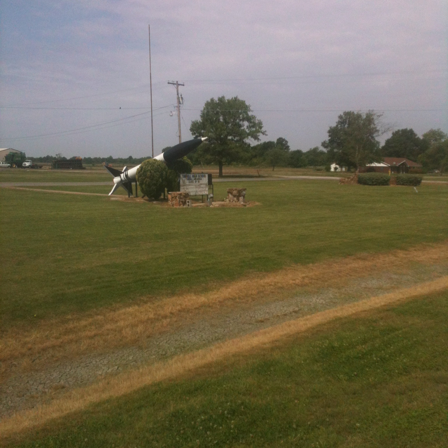
Elevation of Menesha St, Turrell, AR, USA
Location: United States > Arkansas > Crittenden County > Fogleman Township > Turrell >
Longitude: -90.278136
Latitude: 35.4116259
Elevation: 66m / 217feet
Barometric Pressure: 101KPa
Elevation Map:
Satellite Map:
Related Photos:
Daddy Long Legs

20080502-IMG_3893
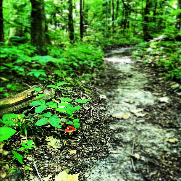
Mushroom on the trail.

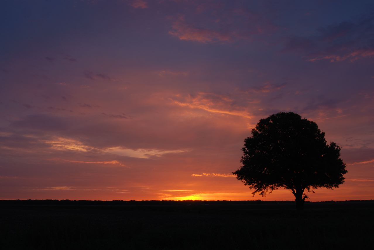
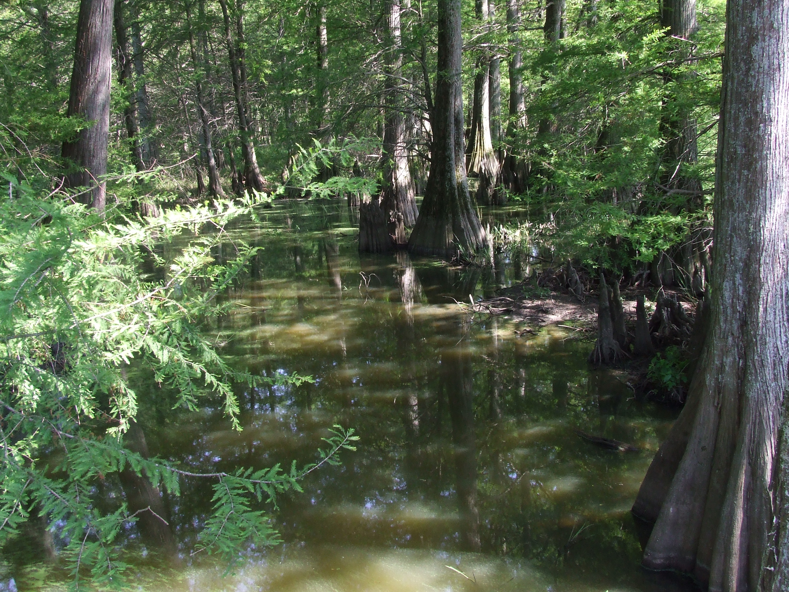
Cypress trees near sunset
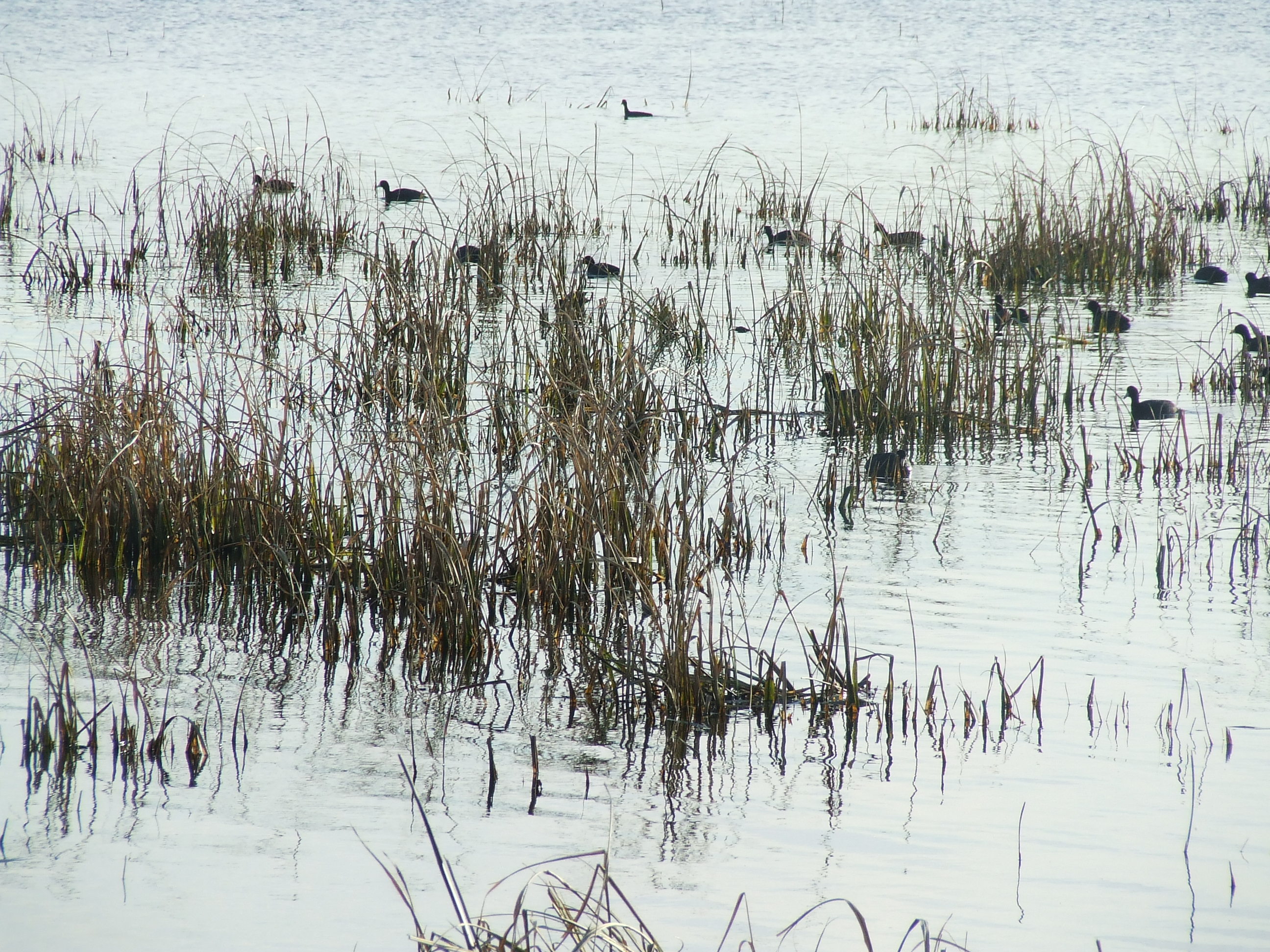
Waterfowl 2012
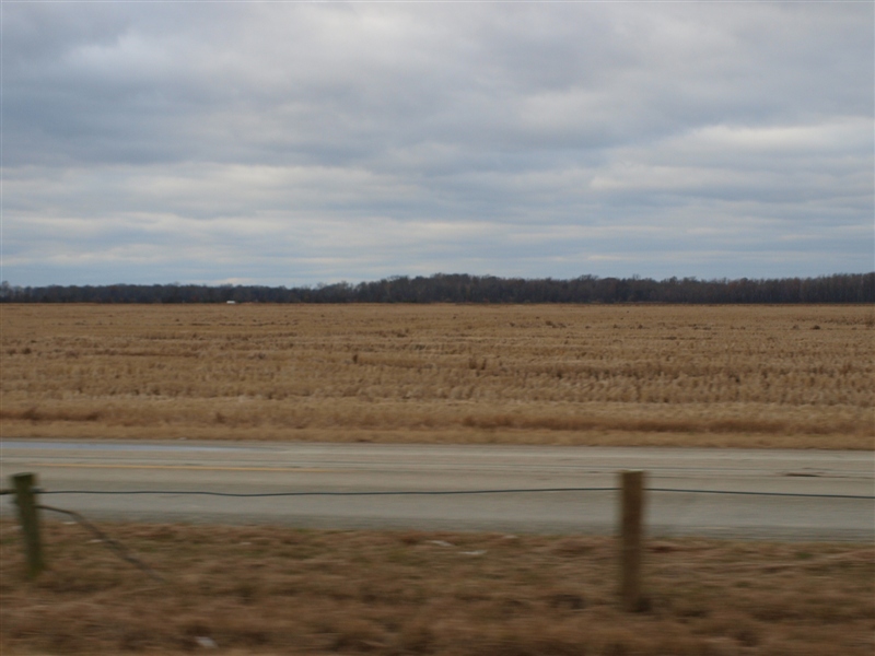
The Road to Jericho
Rice or wheat.JPG
Waterway 2007
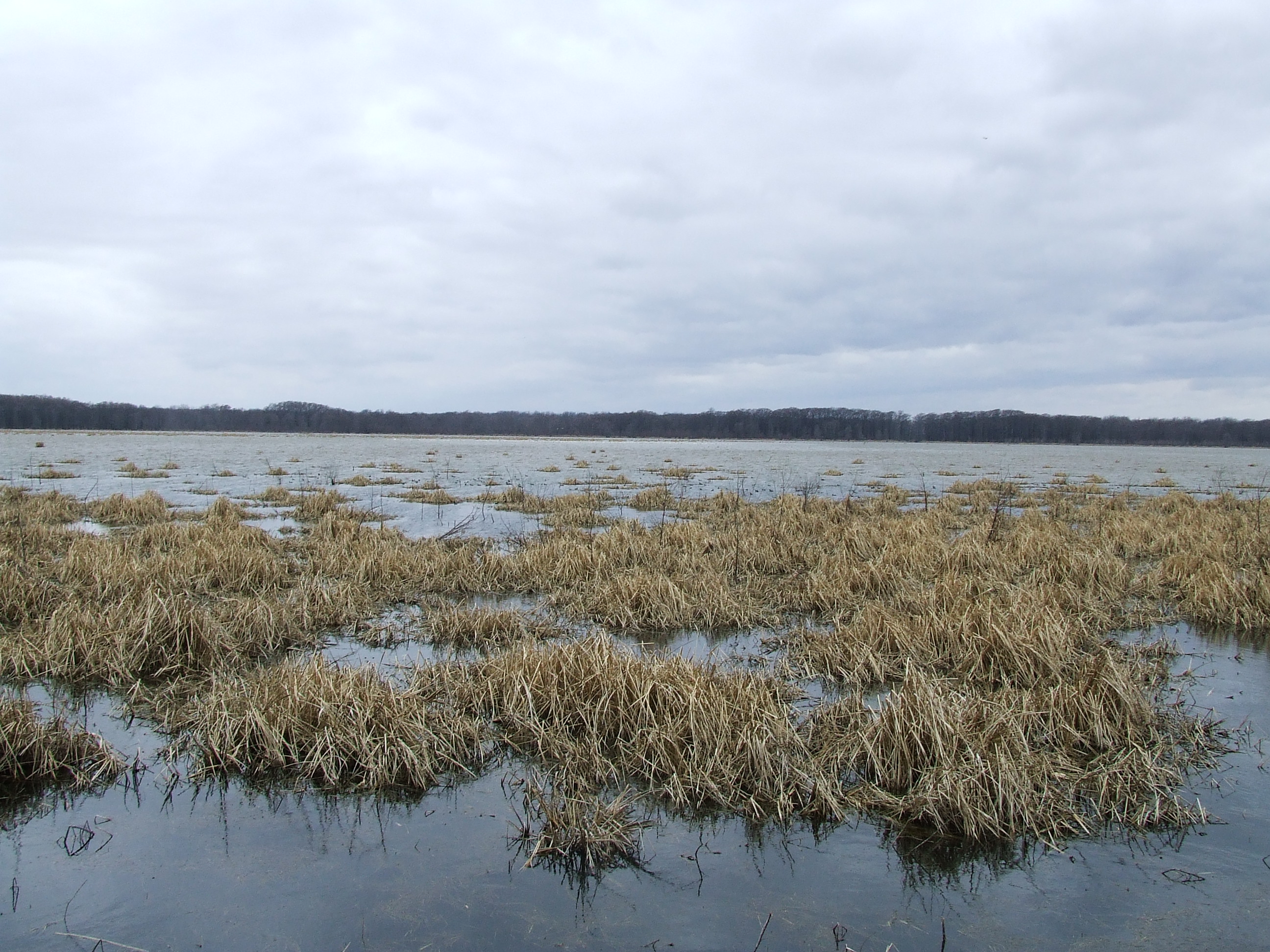
The Lake 2008
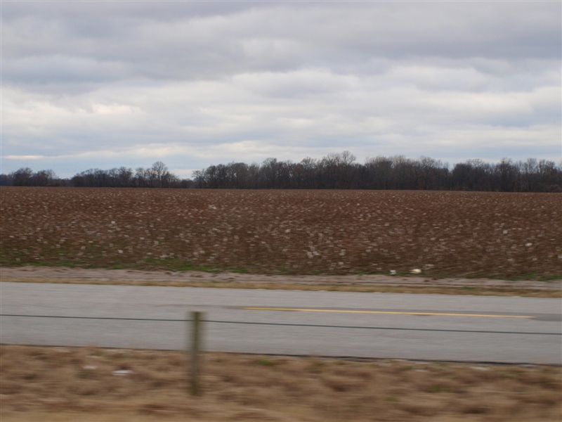
Cotton field 2.JPG
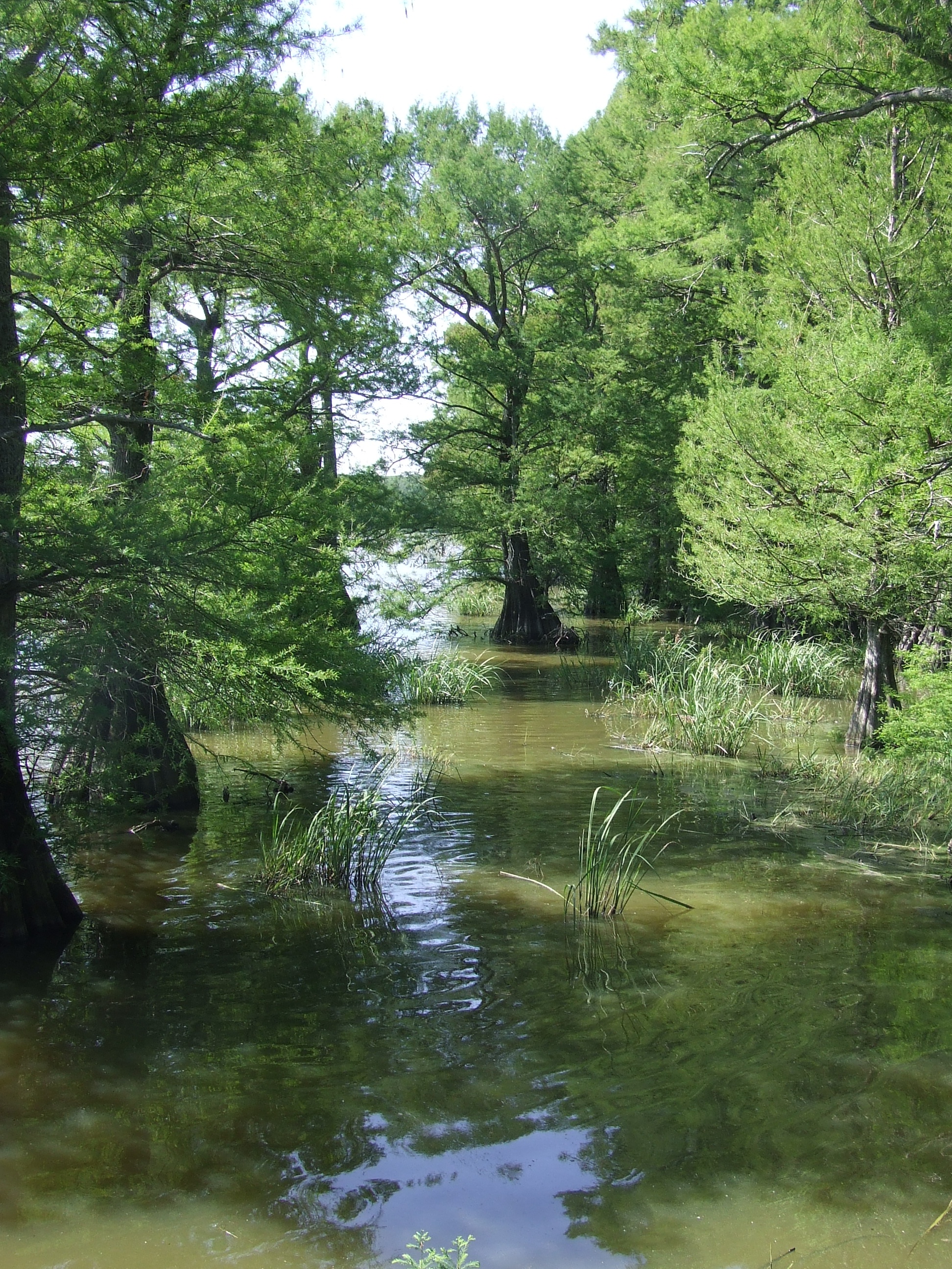
Cypress one 2007
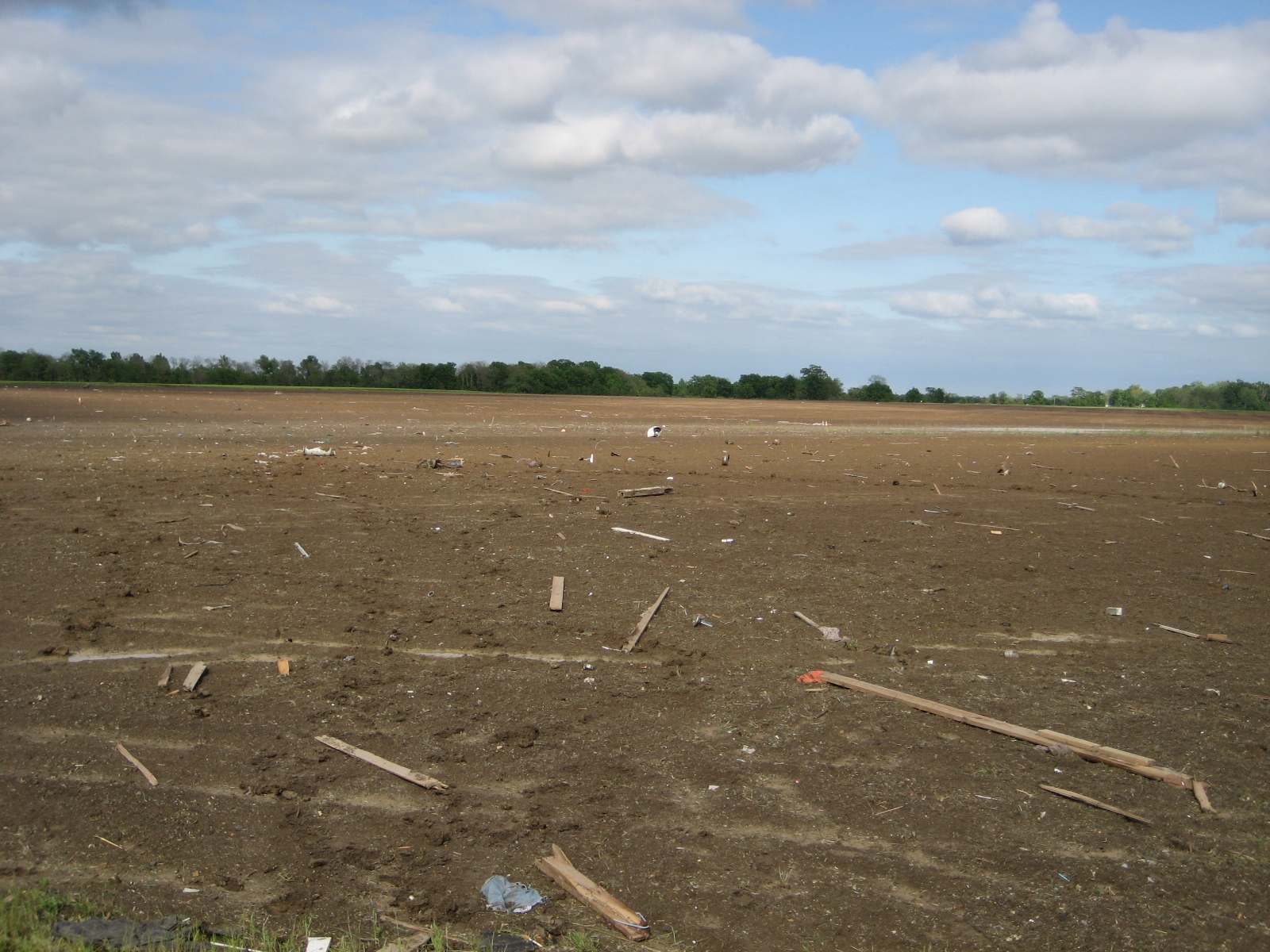
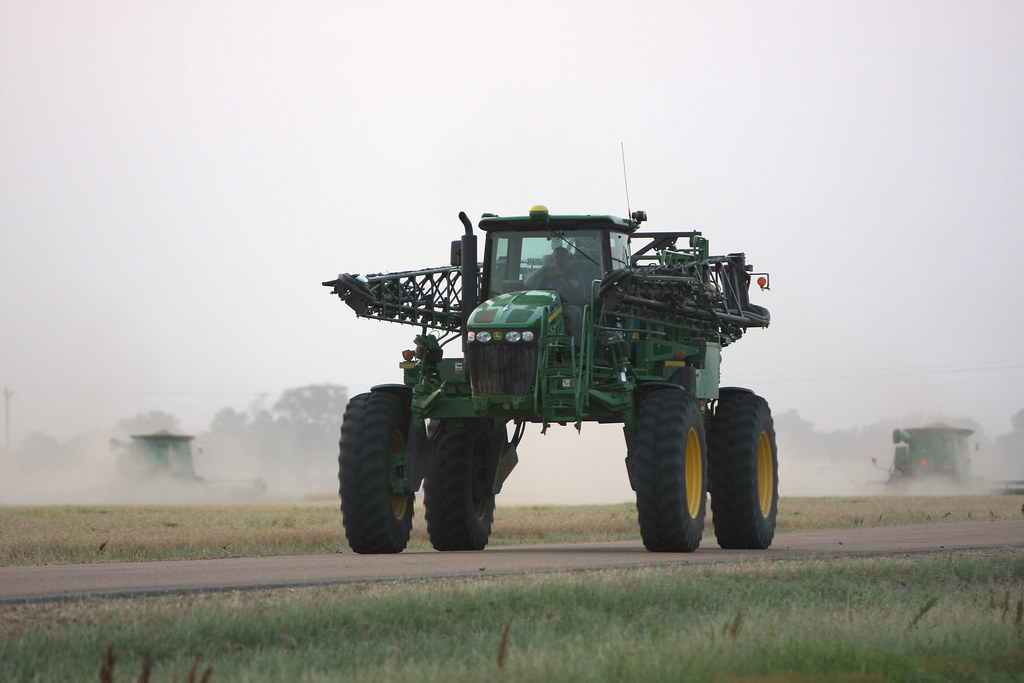
debris in field northeast of Earle
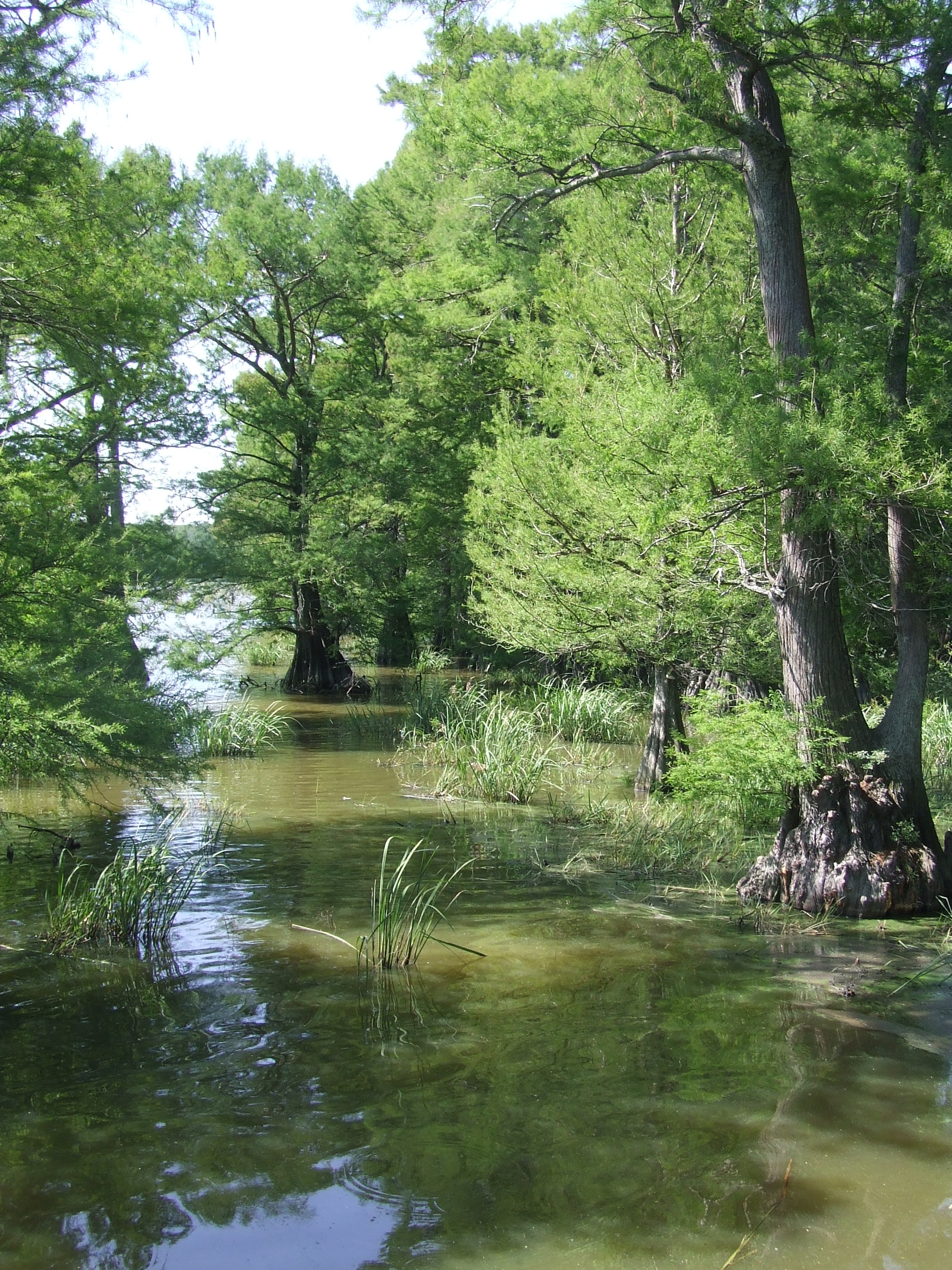
Cypress two 2007
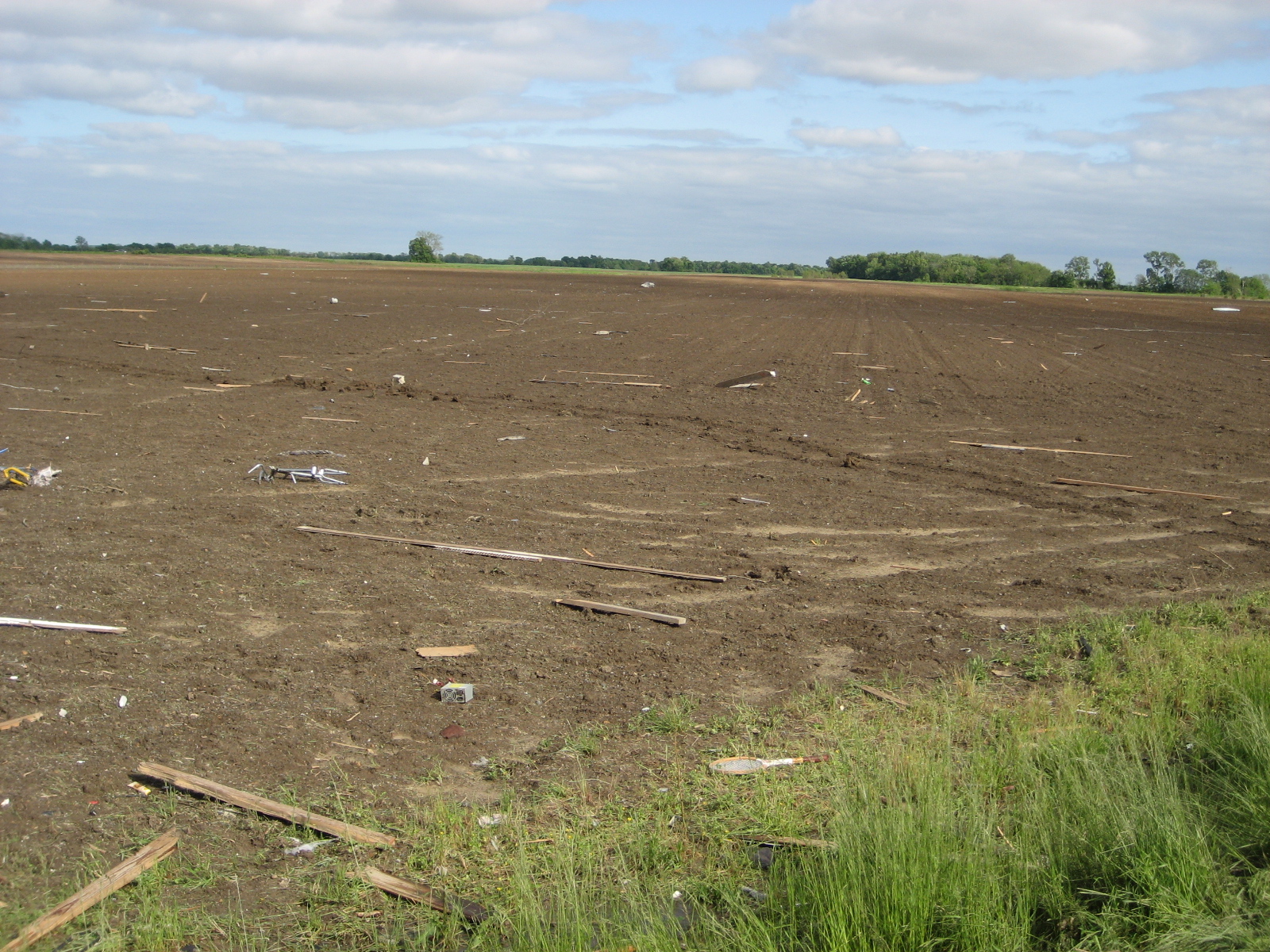
debris in field northeast of Earle
Day 39-42 003

20080502-IMG_3860

20080502-IMG_3846
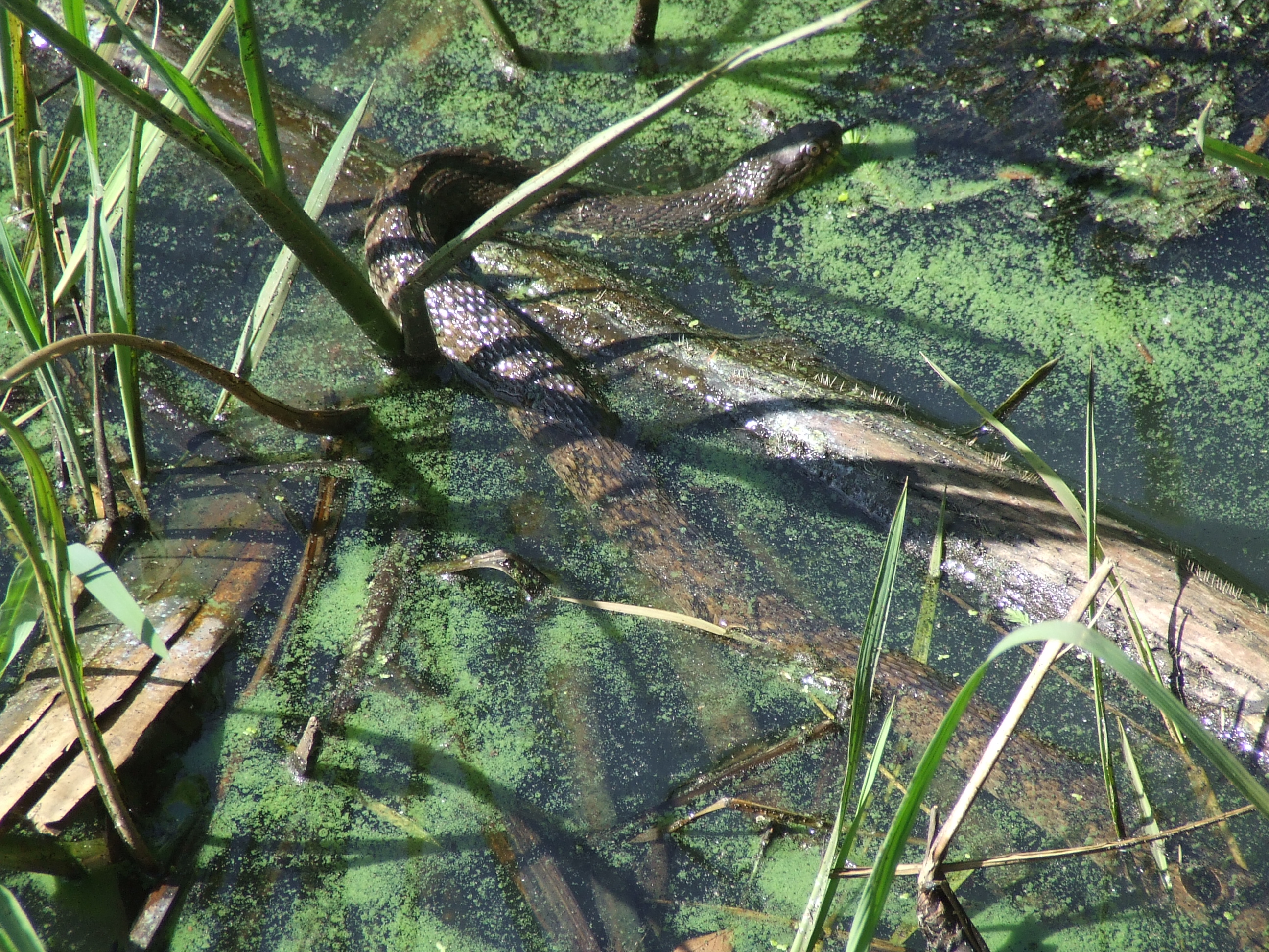
Snake one 2007
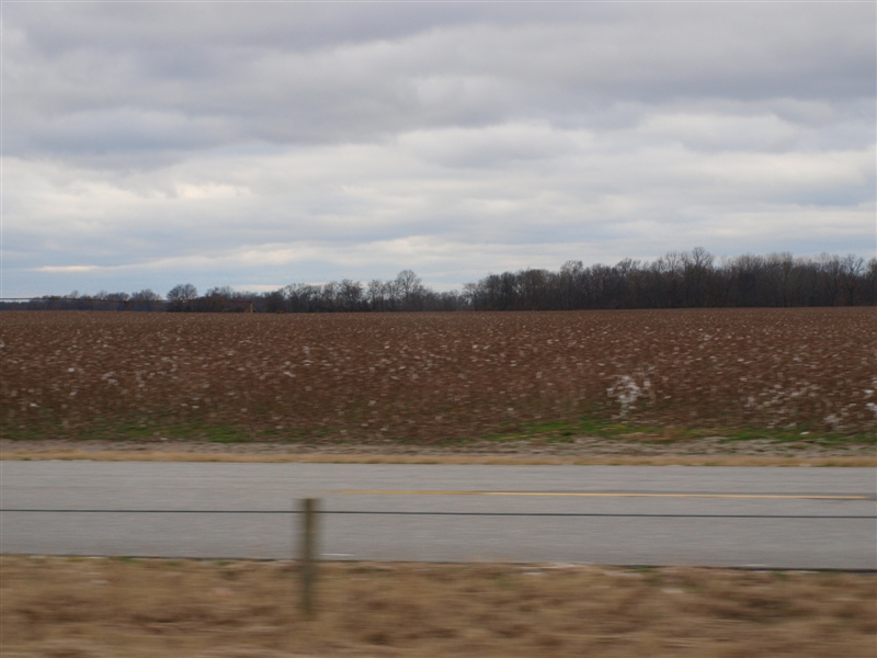
Cotton field 3.JPG
Topographic Map of Menesha St, Turrell, AR, USA
Find elevation by address:

Places near Menesha St, Turrell, AR, USA:
Fogleman Township
Turrell
Eureka St, Turrell, AR, USA
Drace Ln, Tyronza, AR, USA
AR-42, Turrell, AR, USA
E Dr, Tyronza, AR, USA
Jett Rd, Tyronza, AR, USA
Whitton Township
Tyronza Township
Tyronza
AR-, Tyronza, AR, USA
S Co Rd, Joiner, AR, USA
Co Rd, Frenchmans Bayou, AR, USA
8914 Ar-149
State Hwy, Marked Tree, AR, USA
Crittenden County
AR-, Tyronza, AR, USA
Scott Township
AR-, Tyronza, AR, USA
Black Oak Township
Recent Searches:
- Elevation of Congressional Dr, Stevensville, MD, USA
- Elevation of Bellview Rd, McLean, VA, USA
- Elevation of Stage Island Rd, Chatham, MA, USA
- Elevation of Shibuya Scramble Crossing, 21 Udagawacho, Shibuya City, Tokyo -, Japan
- Elevation of Jadagoniai, Kaunas District Municipality, Lithuania
- Elevation of Pagonija rock, Kranto 7-oji g. 8"N, Kaunas, Lithuania
- Elevation of Co Rd 87, Jamestown, CO, USA
- Elevation of Tenjo, Cundinamarca, Colombia
- Elevation of Côte-des-Neiges, Montreal, QC H4A 3J6, Canada
- Elevation of Bobcat Dr, Helena, MT, USA