Elevation of AR-, Tyronza, AR, USA
Location: United States > Arkansas > Crittenden County > Black Oak Township >
Longitude: -90.422178
Latitude: 35.360423
Elevation: 64m / 210feet
Barometric Pressure: 101KPa
Elevation Map:
Satellite Map:
Related Photos:
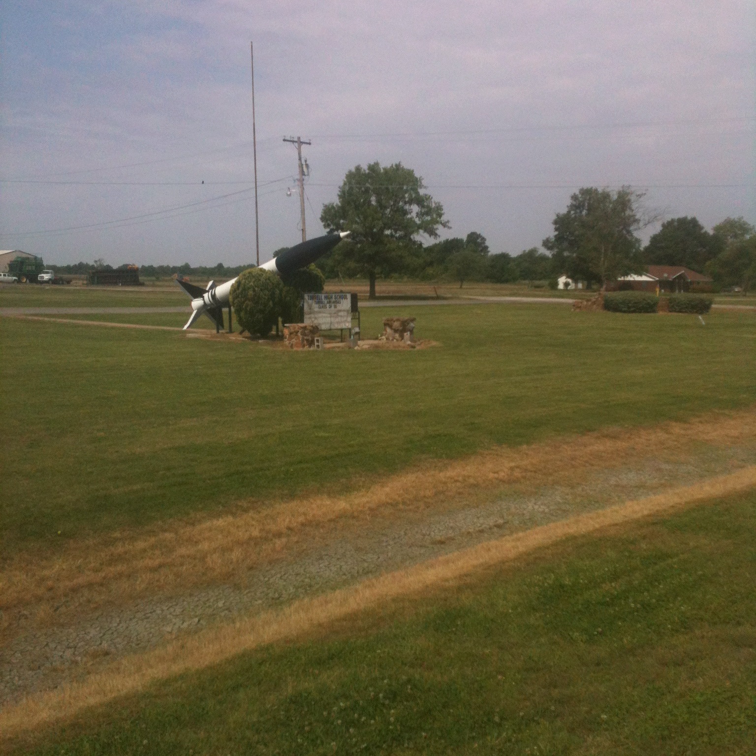
Daddy Long Legs
IMG_0440 (2)
IMG_0453 (2)
IMG_0446 (2)
IMG_0443 (2)

20080502-IMG_3893
Rice or wheat.JPG
IMG_0452 (2)
debris in field northeast of Earle
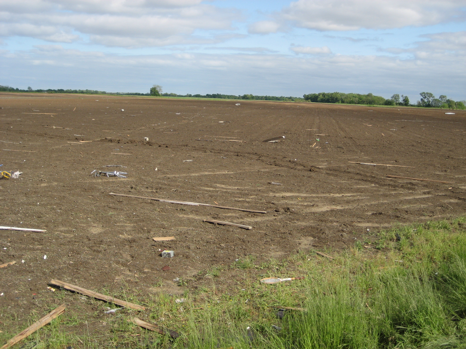
debris in field northeast of Earle
IMG_0447 (2)

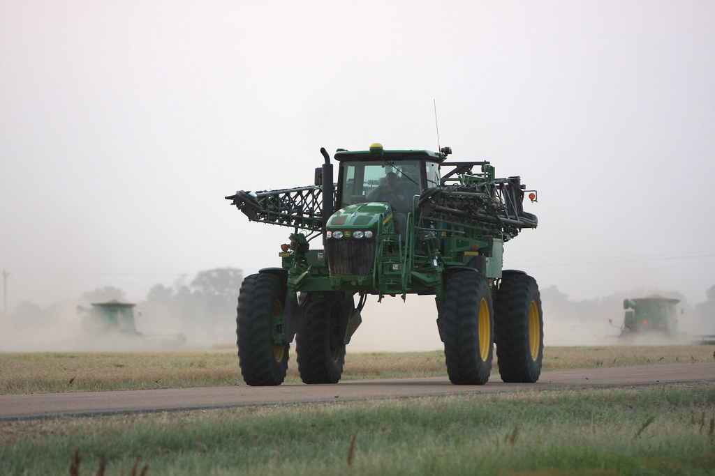
Foggy Delta morning

20080502-IMG_3860

20080502-IMG_3846
IMG_0451 (2)
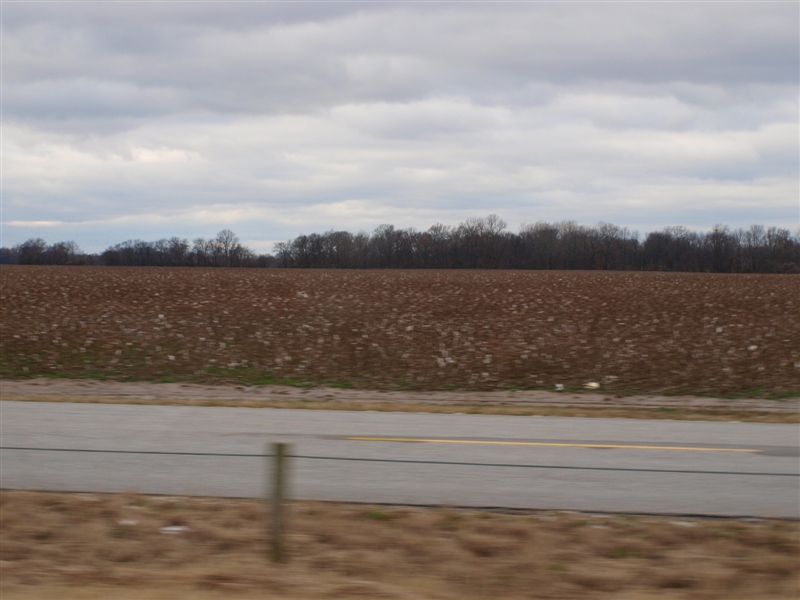
Cotton field 2.JPG
Day 39-42 003
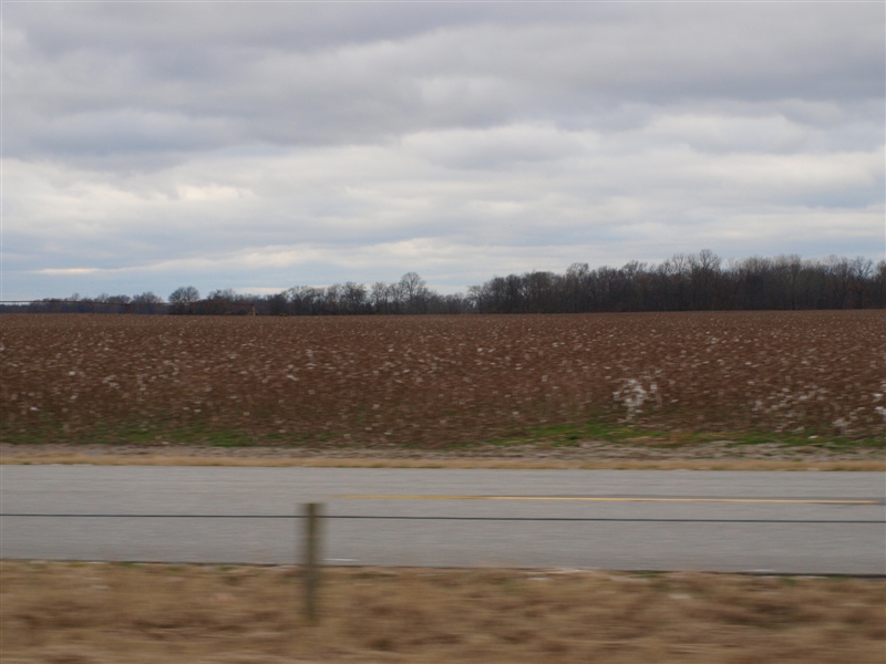
Cotton field 3.JPG
Topographic Map of AR-, Tyronza, AR, USA
Find elevation by address:

Places near AR-, Tyronza, AR, USA:
Black Oak Township
8914 Ar-149
Crittenden County
Earle
Bay Ferry Rd, Earle, AR, USA
Briggs Rd, Crawfordsville, AR, USA
AR-75, Marked Tree, AR, USA
AR-, Tyronza, AR, USA
AR-, Earle, AR, USA
Fair Rd, Marked Tree, AR, USA
State Hwy, Parkin, AR, USA
Tyronza Township
Gallion Rd, Marked Tree, AR, USA
AR-75, Parkin, AR, USA
Tyronza
Drace Ln, Tyronza, AR, USA
Little River Township
Jett Rd, Tyronza, AR, USA
Menesha St, Turrell, AR, USA
Parkin
Recent Searches:
- Elevation of Royal Ontario Museum, Queens Park, Toronto, ON M5S 2C6, Canada
- Elevation of Groblershoop, South Africa
- Elevation of Power Generation Enterprises | Industrial Diesel Generators, Oak Ave, Canyon Country, CA, USA
- Elevation of Chesaw Rd, Oroville, WA, USA
- Elevation of N, Mt Pleasant, UT, USA
- Elevation of 6 Rue Jules Ferry, Beausoleil, France
- Elevation of Sattva Horizon, 4JC6+G9P, Vinayak Nagar, Kattigenahalli, Bengaluru, Karnataka, India
- Elevation of Great Brook Sports, Gold Star Hwy, Groton, CT, USA
- Elevation of 10 Mountain Laurels Dr, Nashua, NH, USA
- Elevation of 16 Gilboa Ln, Nashua, NH, USA