Elevation of Fair Rd, Marked Tree, AR, USA
Location: United States > Arkansas > Poinsett County > Little River Township > Marked Tree >
Longitude: -90.443696
Latitude: 35.487263
Elevation: 67m / 220feet
Barometric Pressure: 101KPa
Elevation Map:
Satellite Map:
Related Photos:
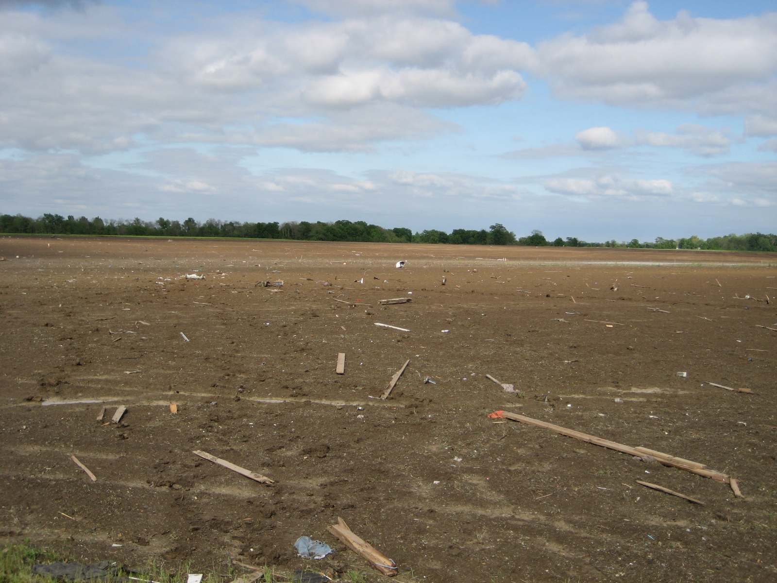
debris in field northeast of Earle
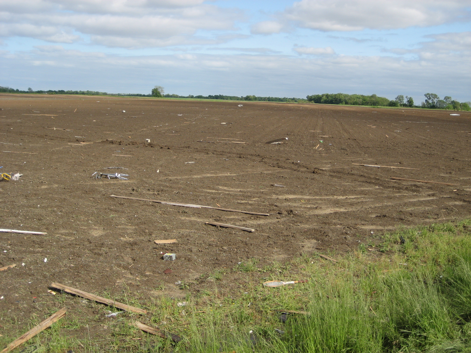
debris in field northeast of Earle

Arkansaw Rexall Drugs
Marked Tree, Arkansas
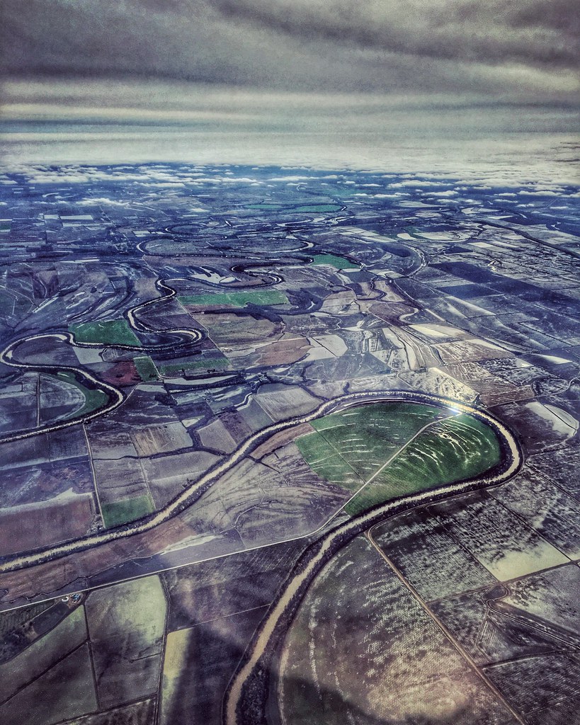
Soggy: Farmland at Coldwater Arkansas west of Memphis Tennessee 2:14 p.m. 12/1/15

CSX SD40-2 8181
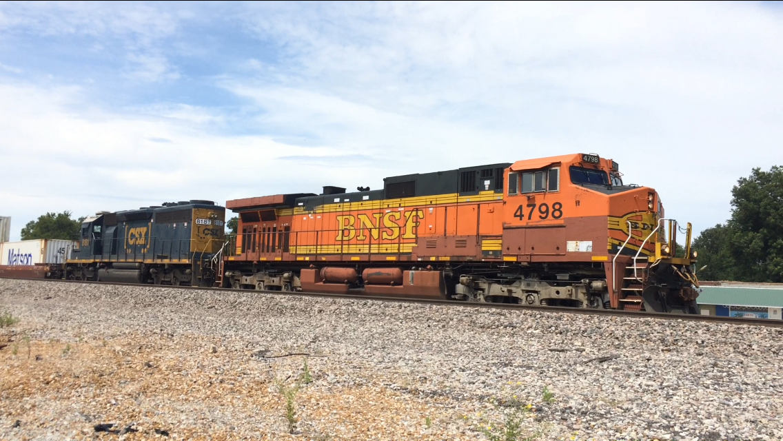
BNSF C44-9W 4798

Southern Tenant Farmers Union

Fred Stuckey, of Stuckey Farms Partnership, reviews his conservation plan with Chris Culver, the local NRCS district conservationist

St. Francis River lock

Marked Tree Siphons
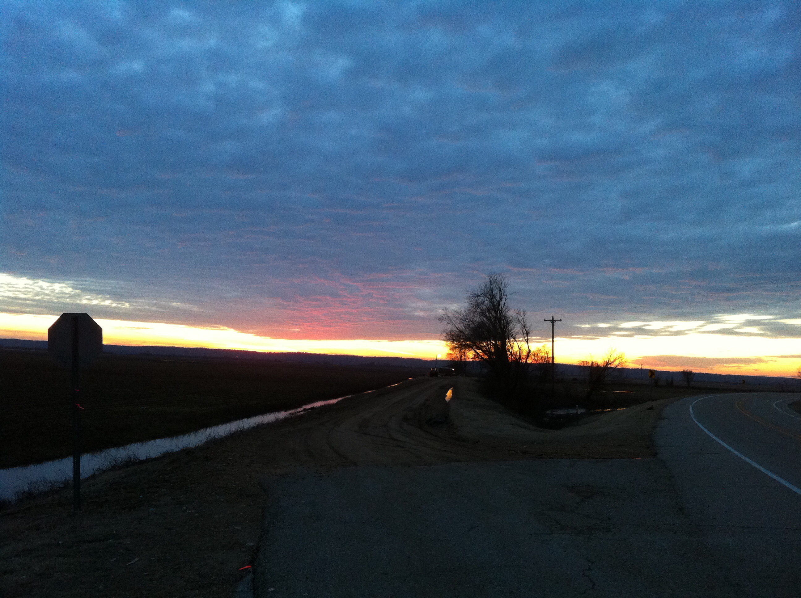
Arkansas Sunset
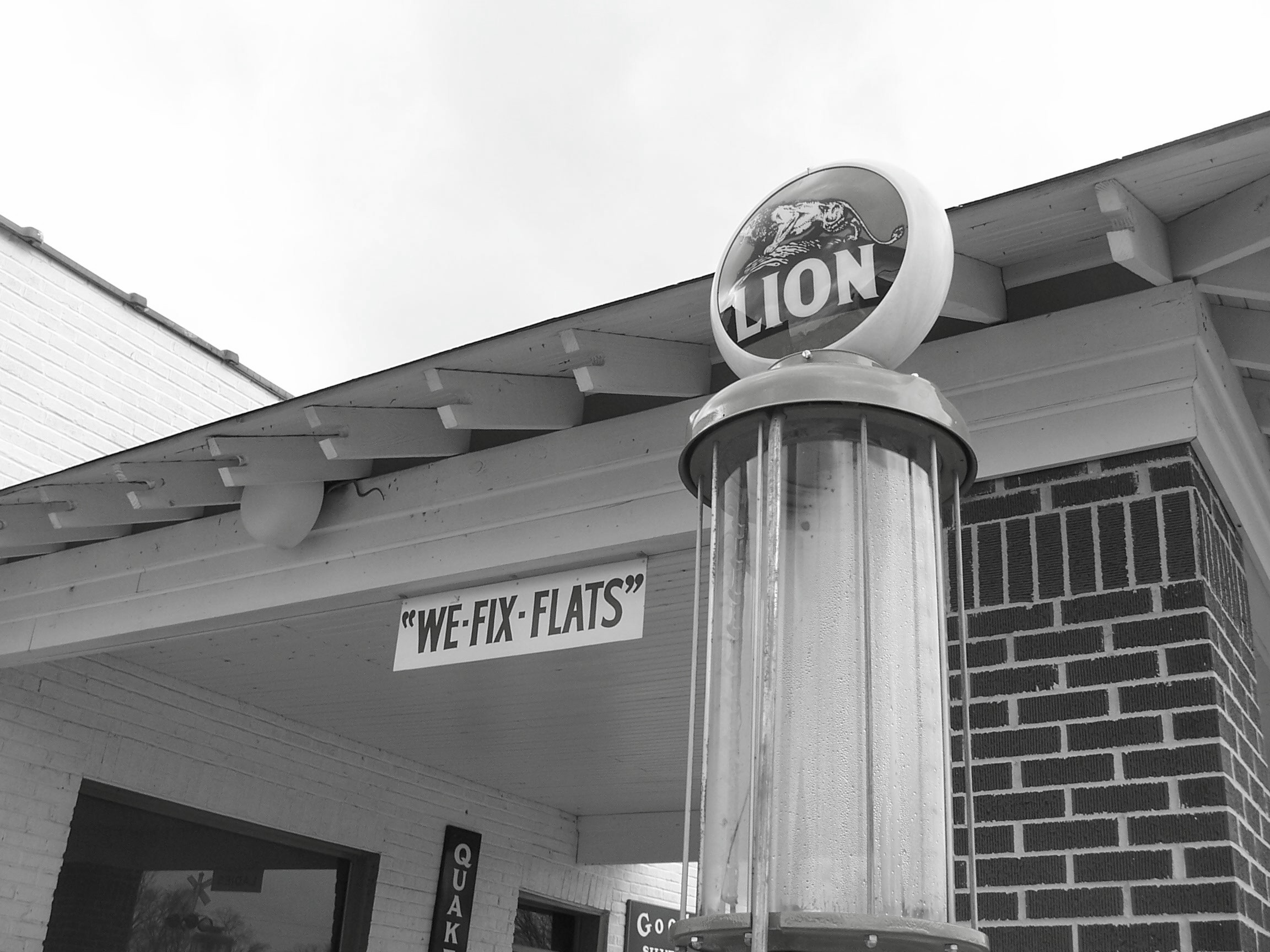
Gas Pumps
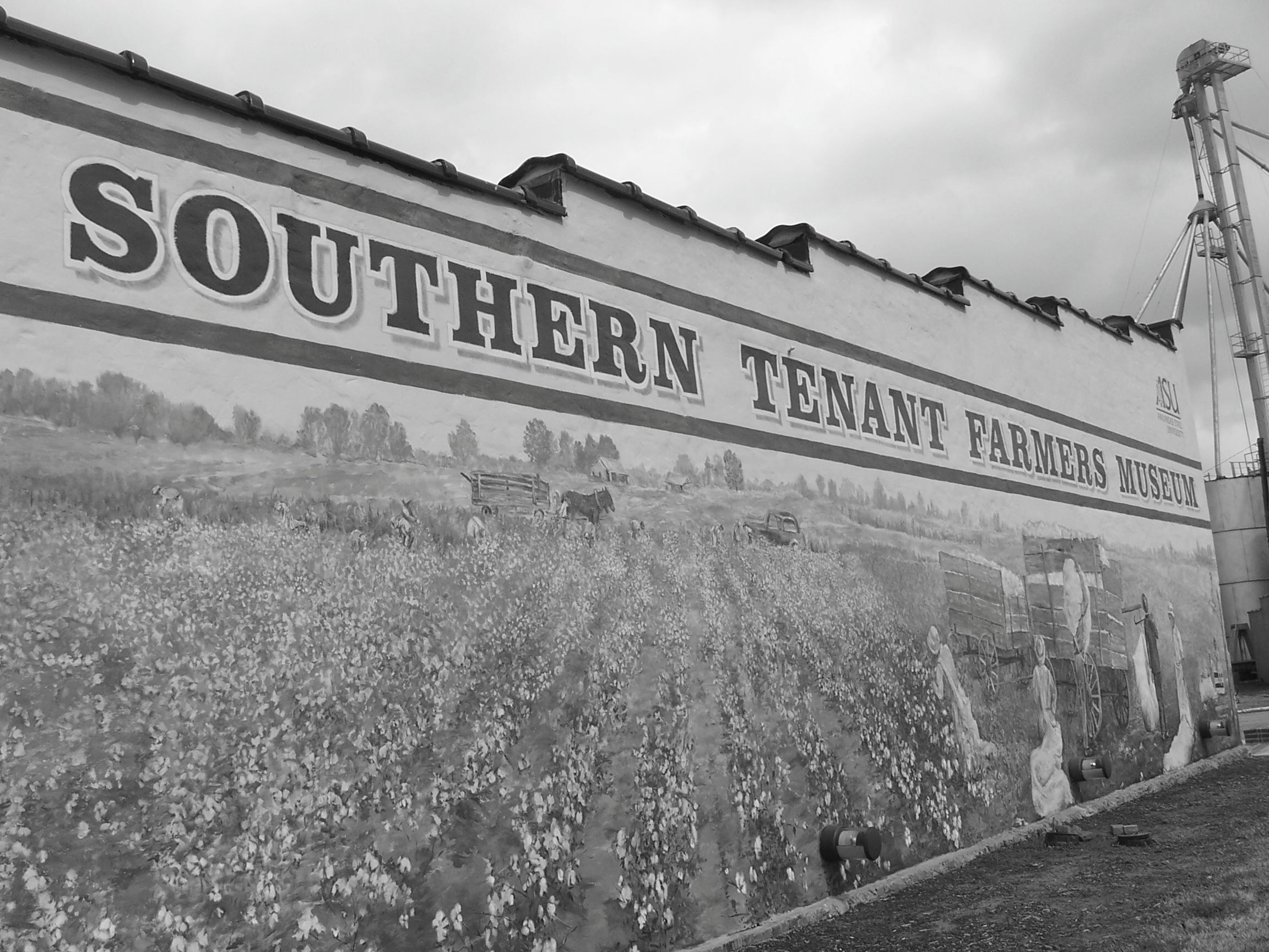
STFM Mural
STFM Museum Complex
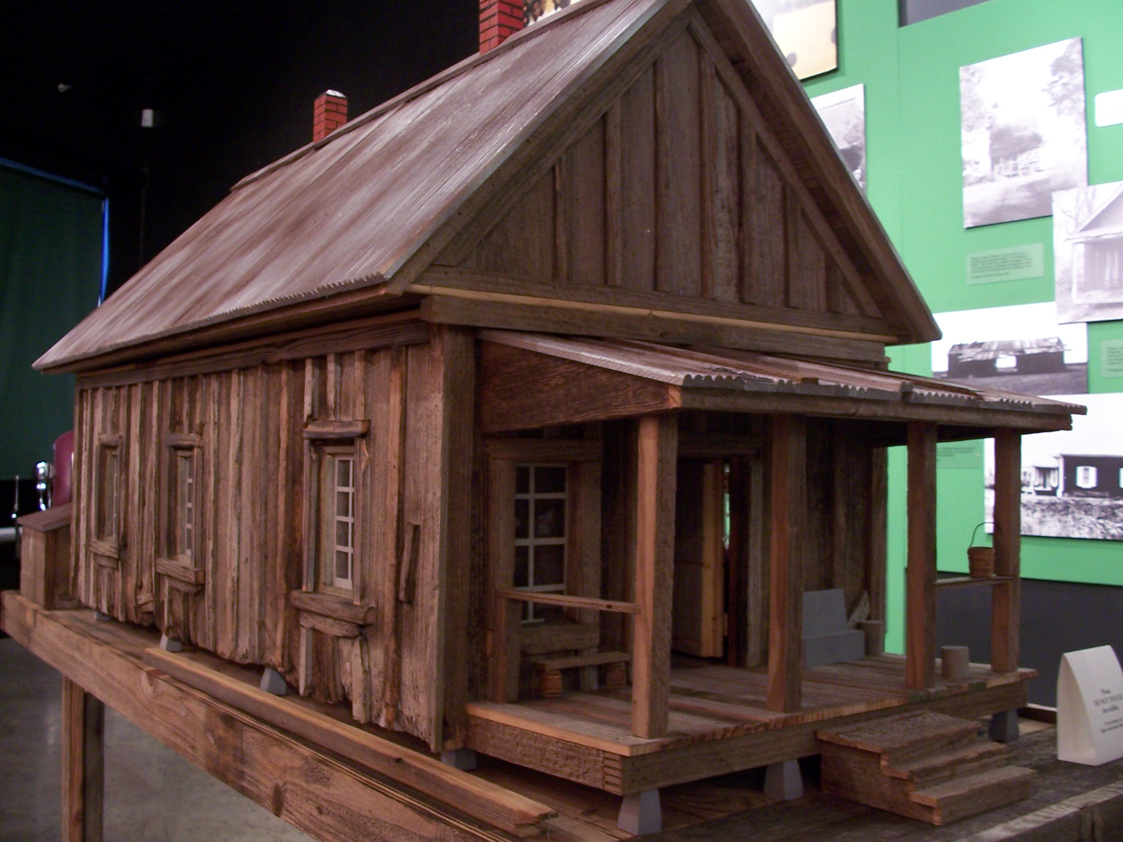
Shotgun House Model
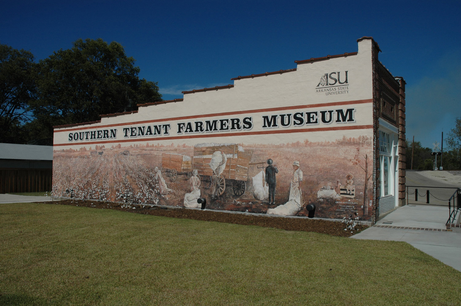
Southern Tenant Farmers Museum Mural

Day 142: Marked Tree, Arkansas
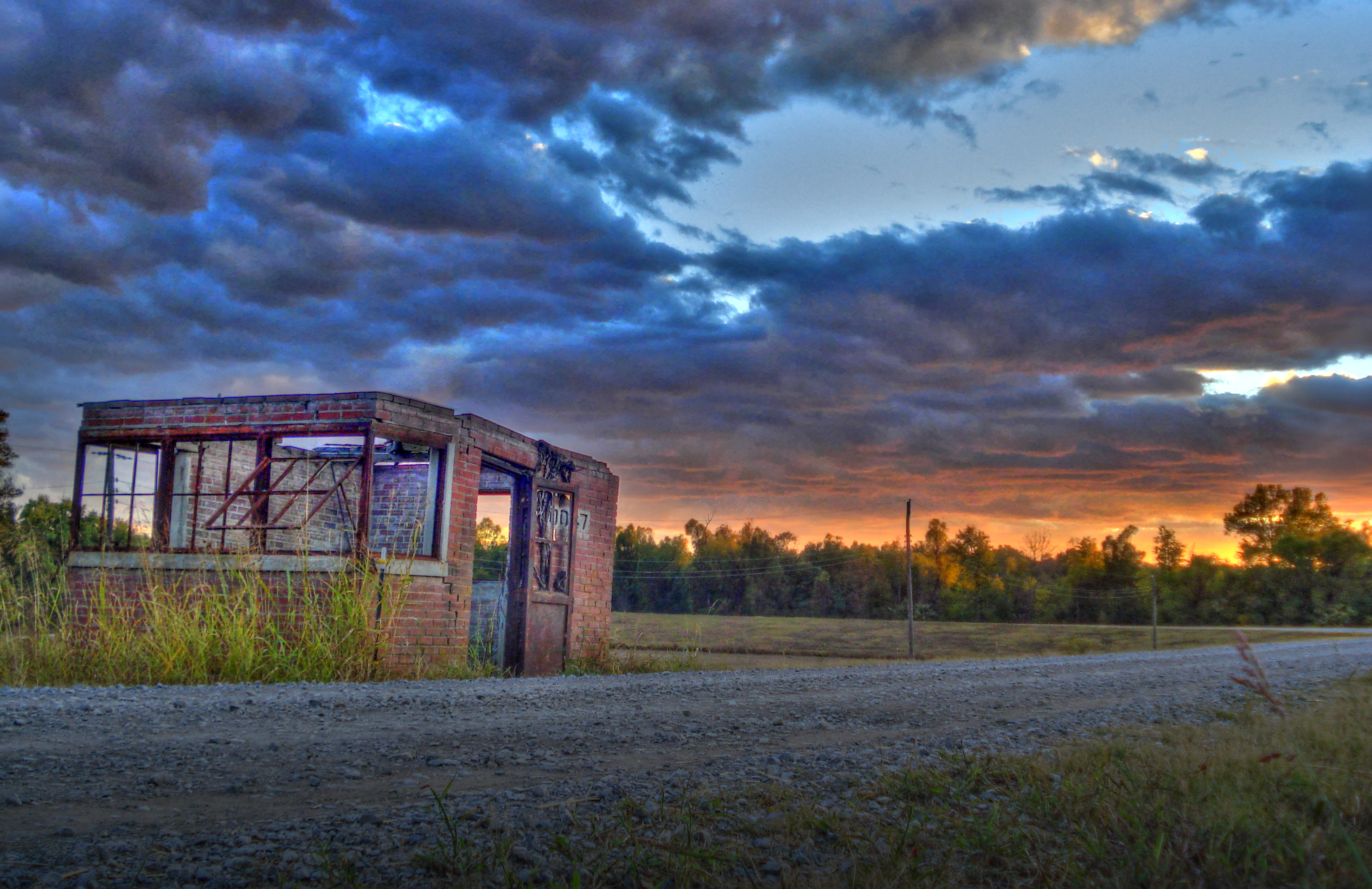
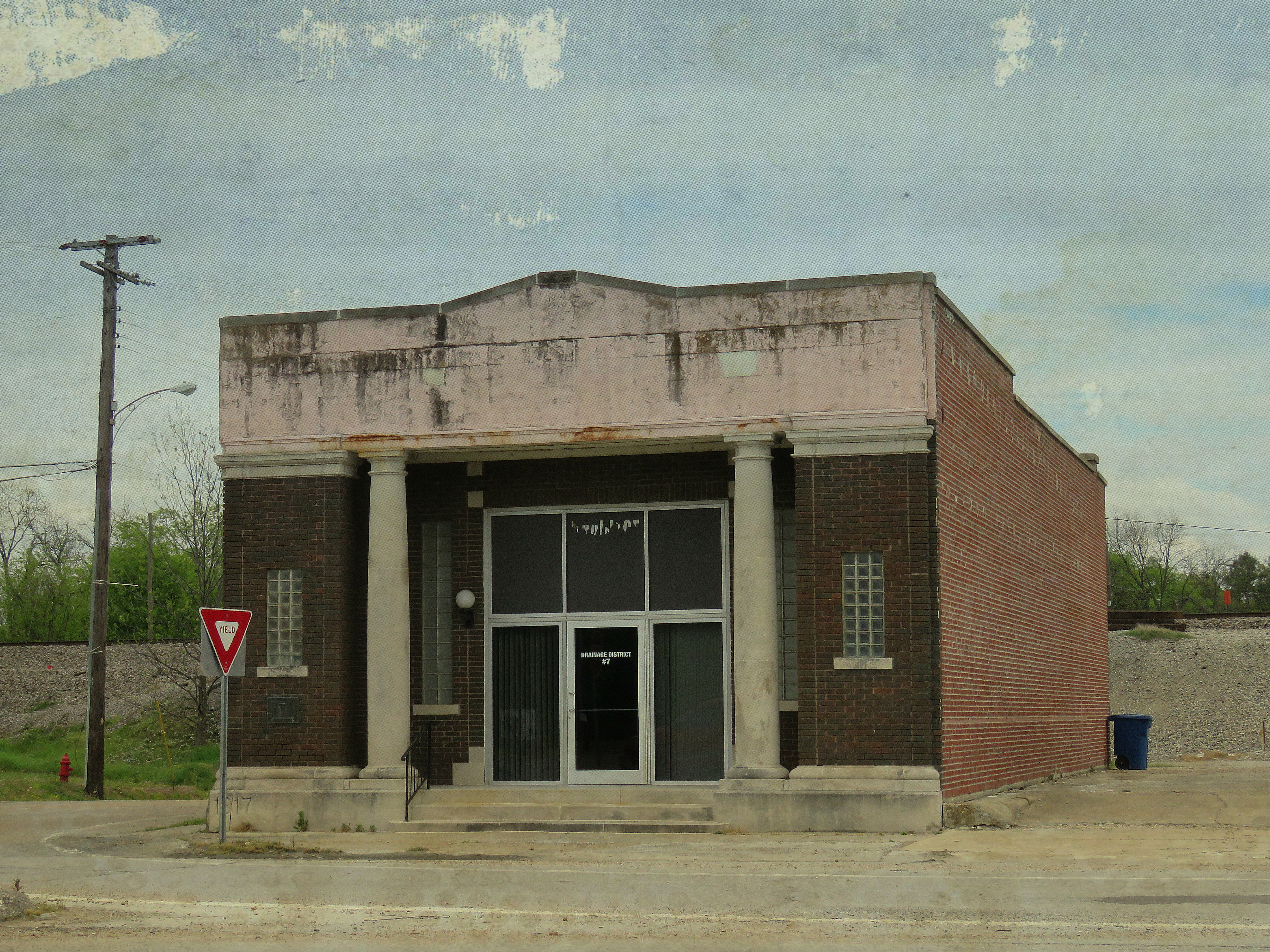
old Distric7
Bald Potter

Arkansas Sunset
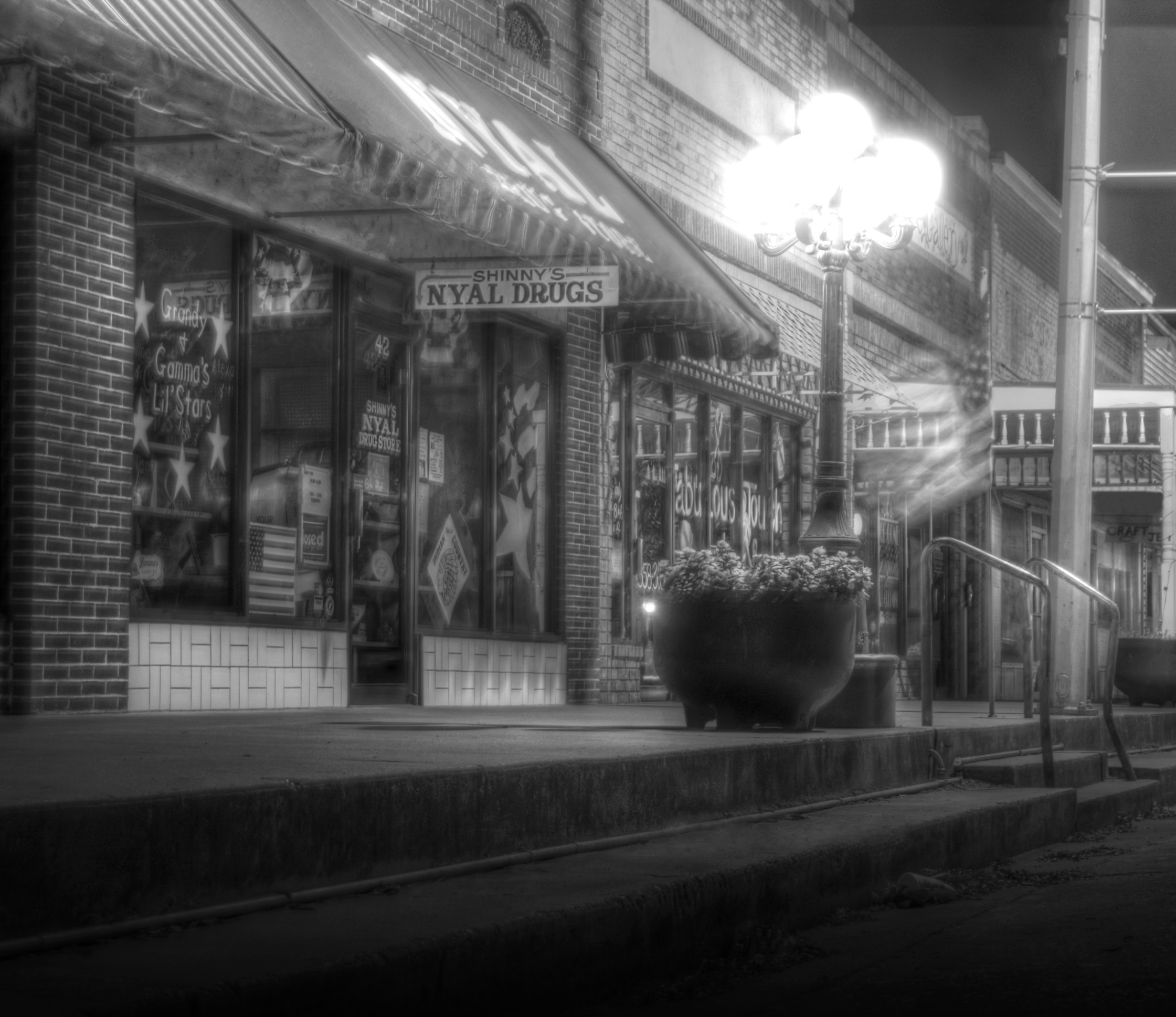
Nyal Drug Store

Marked Tree
Topographic Map of Fair Rd, Marked Tree, AR, USA
Find elevation by address:

Places near Fair Rd, Marked Tree, AR, USA:
AR-75, Marked Tree, AR, USA
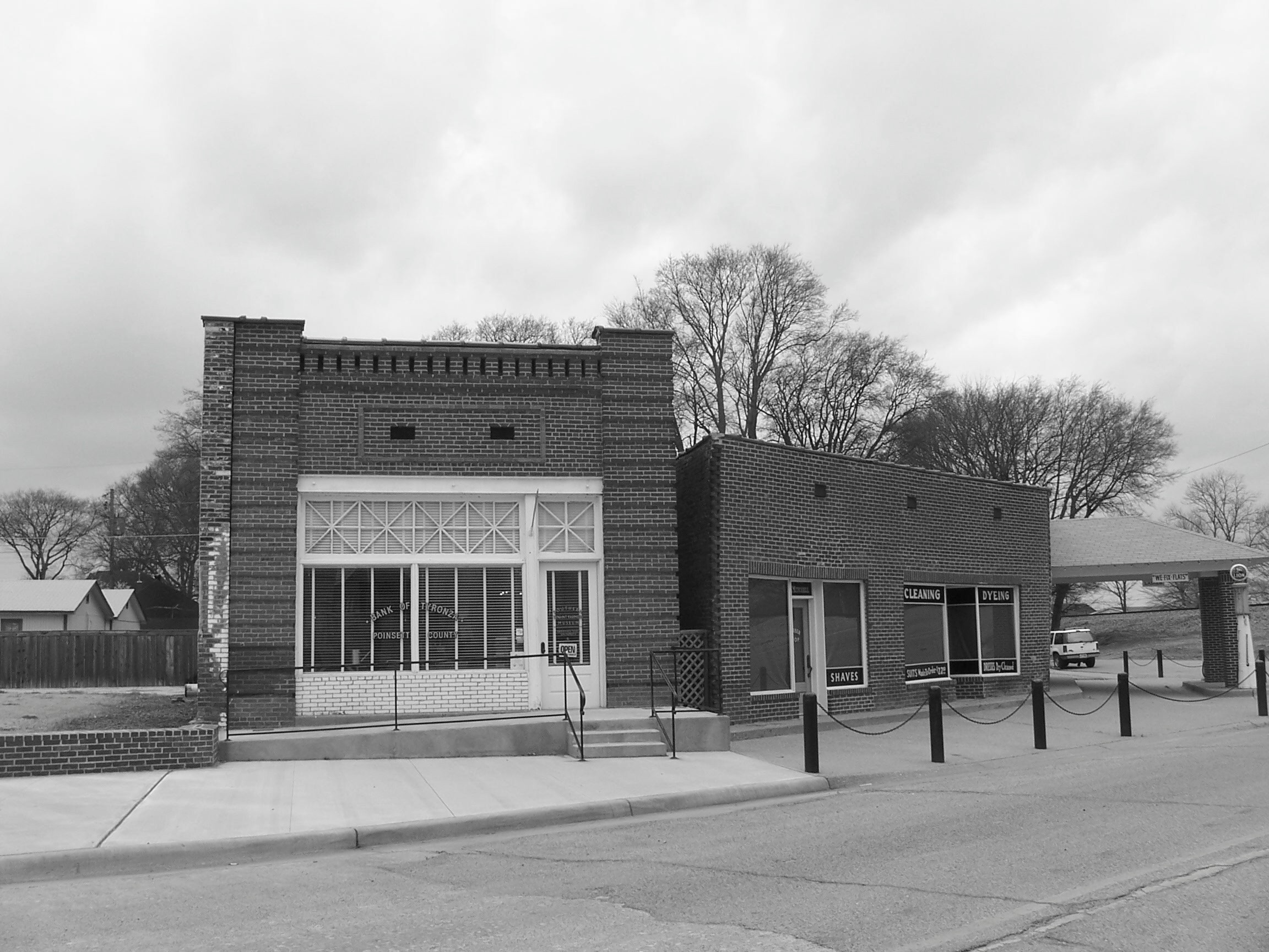
AR-, Tyronza, AR, USA
Little River Township
Marked Tree
AR-14, Trumann, AR, USA
Gallion Rd, Marked Tree, AR, USA
Tyronza
8914 Ar-149
Black Oak Township
AR-75, Parkin, AR, USA
Jett Rd, Tyronza, AR, USA
State Hwy, Marked Tree, AR, USA
Tyronza Township
AR-, Tyronza, AR, USA
Tulot Rd, Trumann, AR, USA
State Hwy, Trumann, AR, USA
Lunsford Township
Drace Ln, Tyronza, AR, USA
Renshaw Ln, Trumann, AR, USA
Greenwood Township
Recent Searches:
- Elevation of Kingsfield St, Castle Rock, CO, USA
- Elevation of AMELIA CT HSE, VA, USA
- Elevation of Abbey Dr, Virginia Beach, VA, USA
- Elevation of Brooks Lp, Spearfish, SD, USA
- Elevation of Panther Dr, Maggie Valley, NC, USA
- Elevation of Jais St - Wadi Shehah - Ras al Khaimah - United Arab Emirates
- Elevation of Shawnee Avenue, Shawnee Ave, Easton, PA, USA
- Elevation of Scenic Shore Dr, Kingwood Area, TX, USA
- Elevation of W Prive Cir, Delray Beach, FL, USA
- Elevation of S Layton Cir W, Layton, UT, USA