Elevation of AR-42, Turrell, AR, USA
Location: United States > Arkansas > Crittenden County >
Longitude: -90.256783
Latitude: 35.365215
Elevation: 67m / 220feet
Barometric Pressure: 101KPa
Elevation Map:
Satellite Map:
Related Photos:
Daddy Long Legs

20080502-IMG_3893
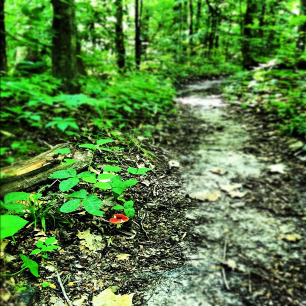
Mushroom on the trail.

20080502-IMG_3846

20080502-IMG_3860

Cypress trees near sunset
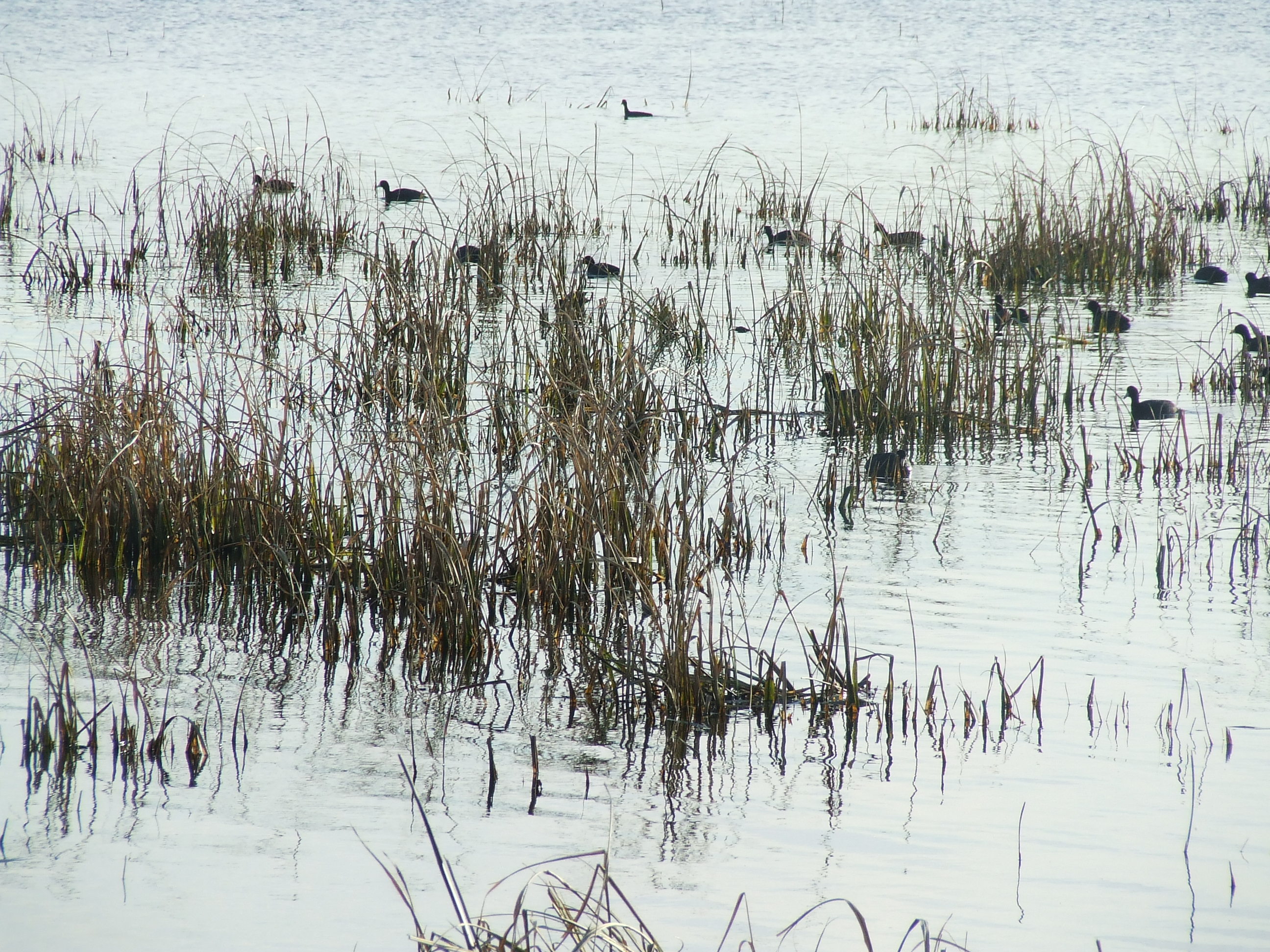
Waterfowl 2012

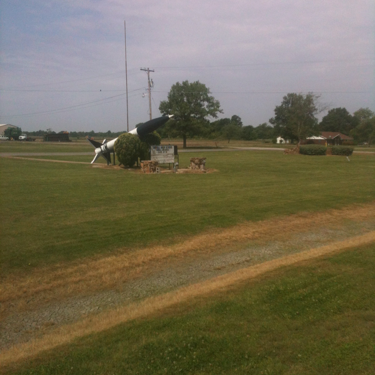
The Road to Jericho
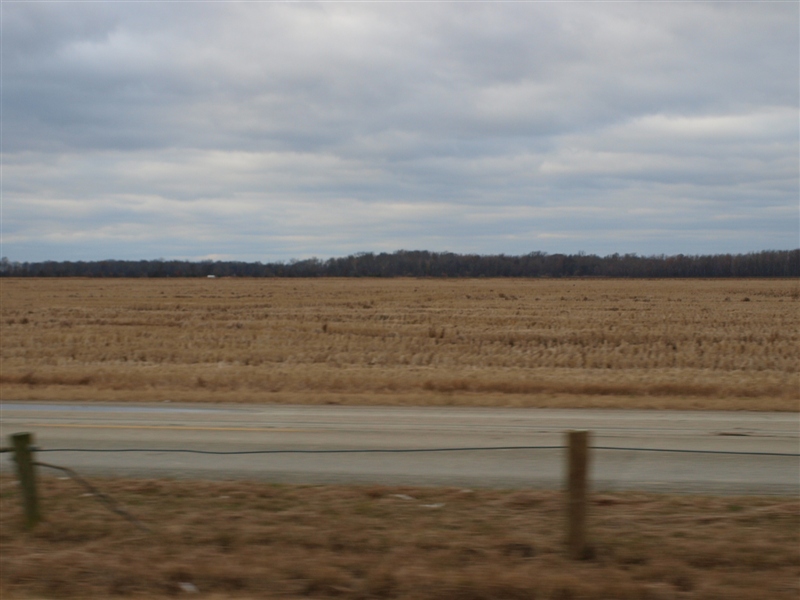
Rice or wheat.JPG
Waterway 2007
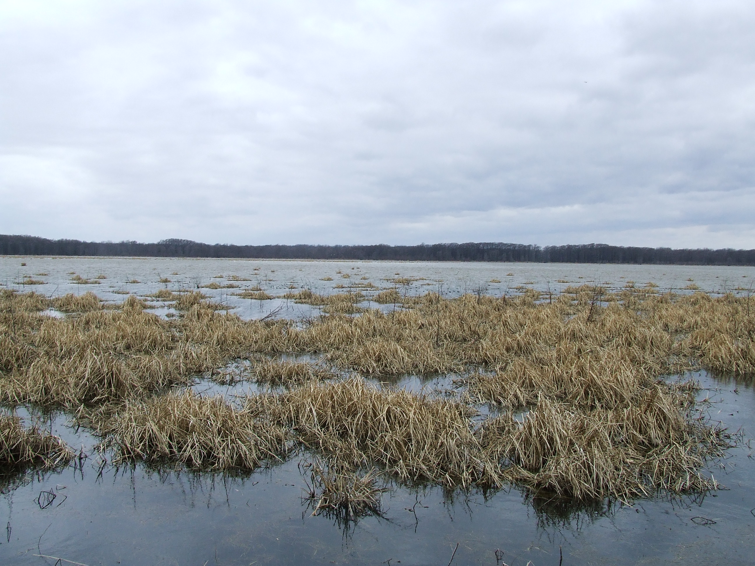
The Lake 2008
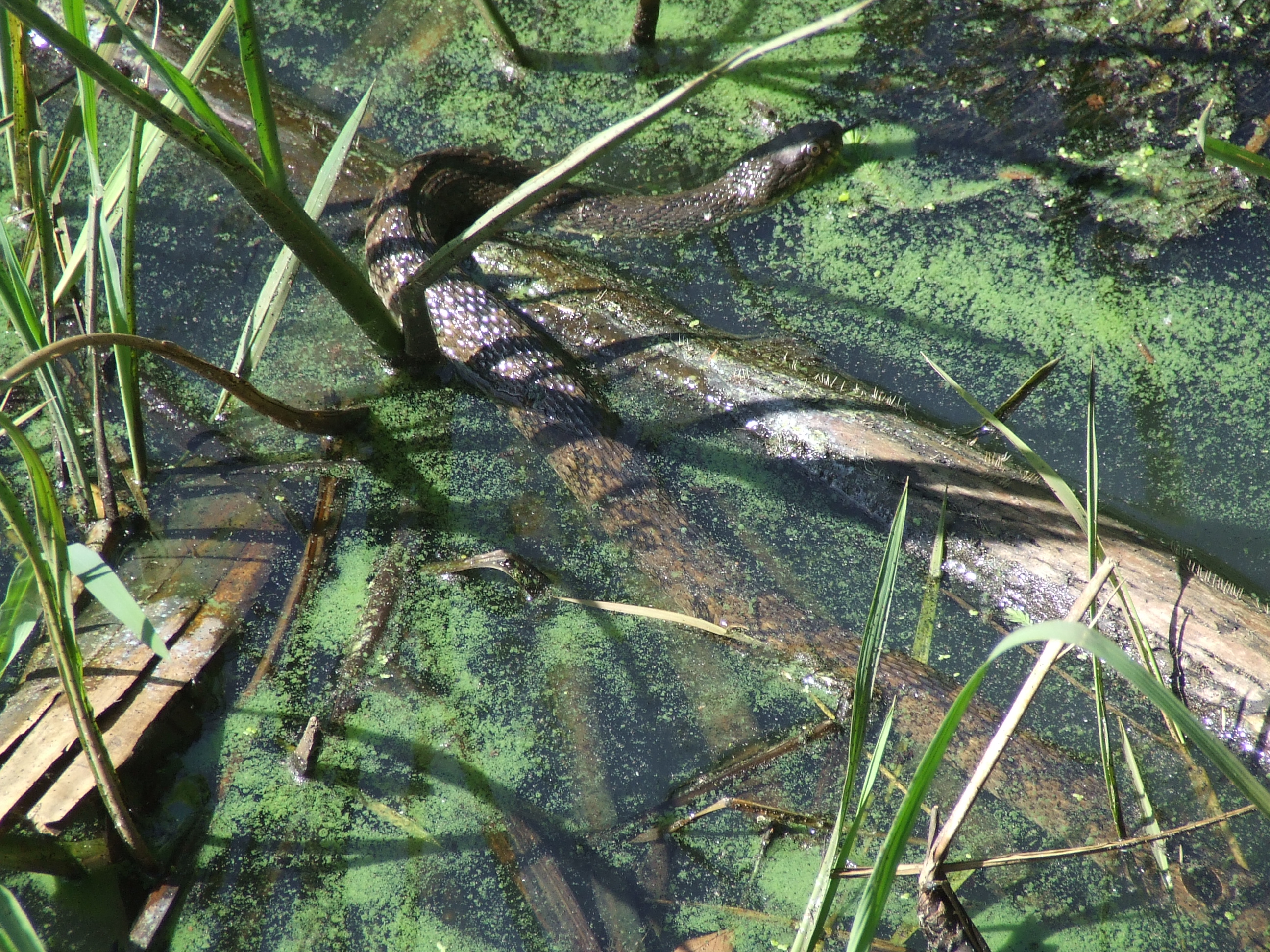
Snake one 2007
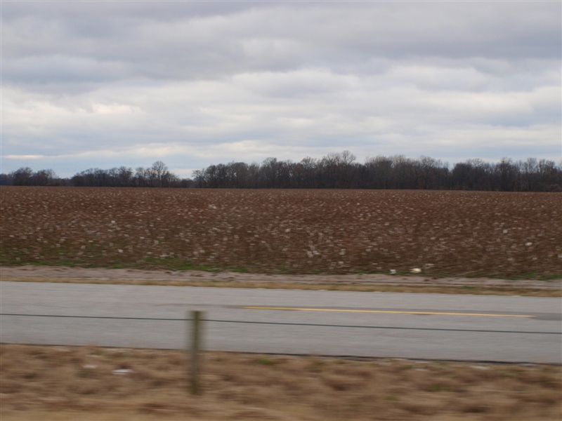
Cotton field 2.JPG
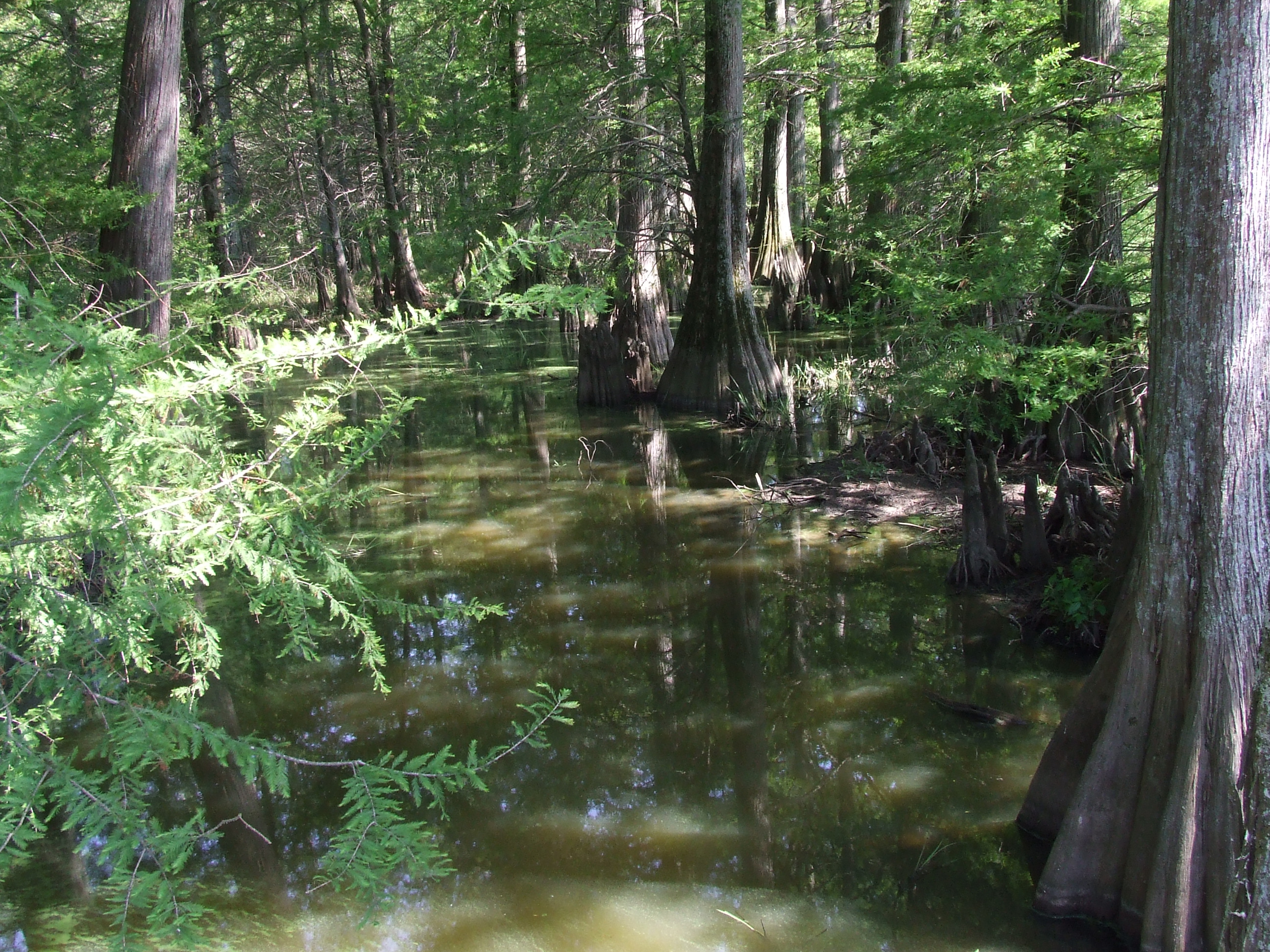
Cypress one 2007
Cotton field 3.JPG
debris in field northeast of Earle
Cypress two 2007
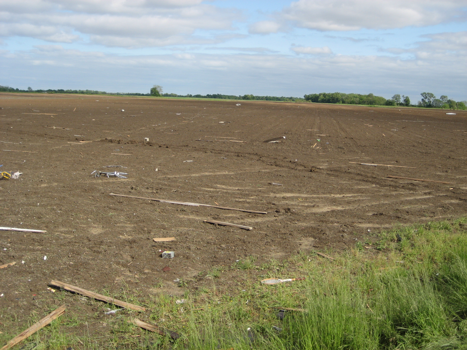
debris in field northeast of Earle
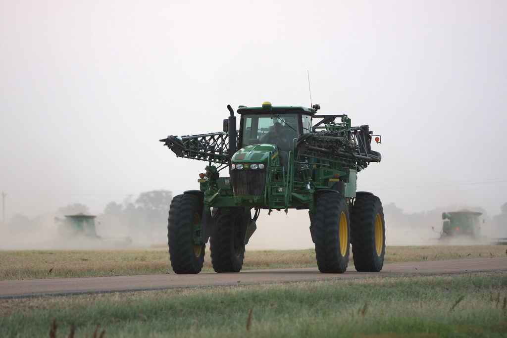
Day 39-42 003
Topographic Map of AR-42, Turrell, AR, USA
Find elevation by address:

Places near AR-42, Turrell, AR, USA:
Eureka St, Turrell, AR, USA
Turrell
Fogleman Township
Menesha St, Turrell, AR, USA
Drace Ln, Tyronza, AR, USA
E Dr, Tyronza, AR, USA
Jett Rd, Tyronza, AR, USA
Jasper Township
Crittenden County
Whitton Township
Co Rd, Frenchmans Bayou, AR, USA
Tyronza Township
Sunset
3rd St, Marion, AR, USA
AR-, Tyronza, AR, USA
Haden Ave, Crawfordsville, AR, USA
Crawfordsville
S Co Rd, Joiner, AR, USA
Tyronza
8914 Ar-149
Recent Searches:
- Elevation of Corso Fratelli Cairoli, 35, Macerata MC, Italy
- Elevation of Tallevast Rd, Sarasota, FL, USA
- Elevation of 4th St E, Sonoma, CA, USA
- Elevation of Black Hollow Rd, Pennsdale, PA, USA
- Elevation of Oakland Ave, Williamsport, PA, USA
- Elevation of Pedrógão Grande, Portugal
- Elevation of Klee Dr, Martinsburg, WV, USA
- Elevation of Via Roma, Pieranica CR, Italy
- Elevation of Tavkvetili Mountain, Georgia
- Elevation of Hartfords Bluff Cir, Mt Pleasant, SC, USA